Topic

Upper Kern Basin-Milestone Basin via Shepherd Pass 7/27-8/1

  • This topic is empty.
Viewing 16 posts - 1 through 16 (of 16 total)
PostedAug 21, 2014 at 8:24 pm

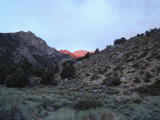
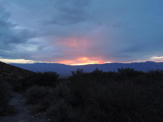
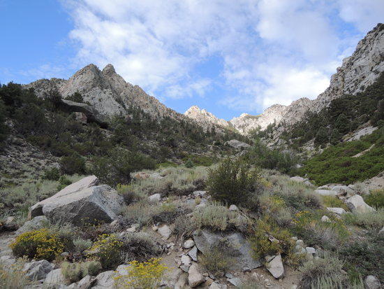
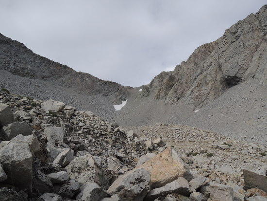
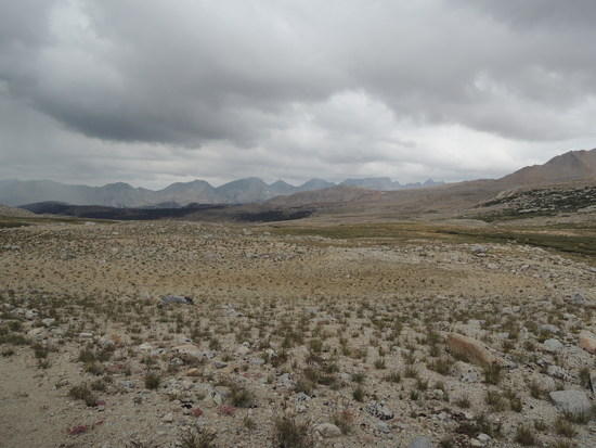
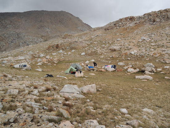
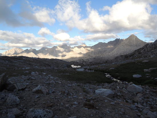
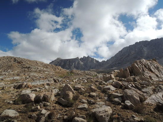
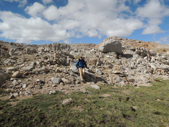
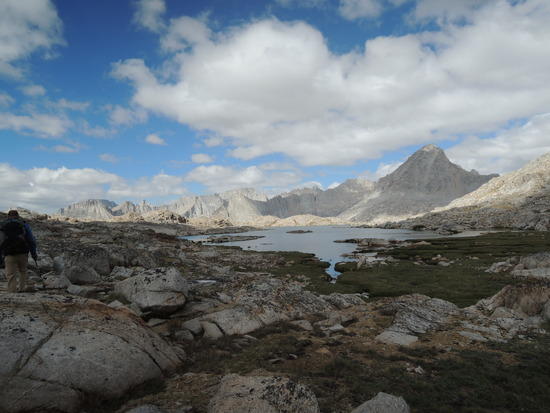
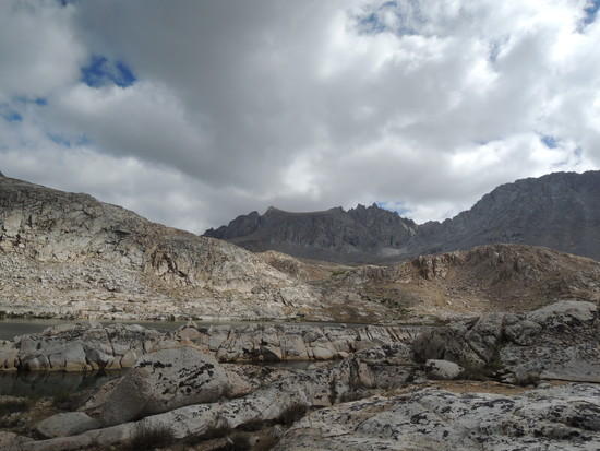
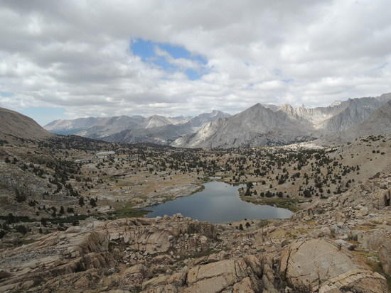
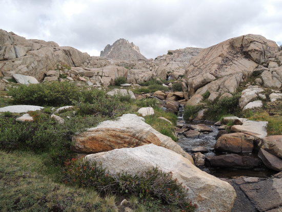
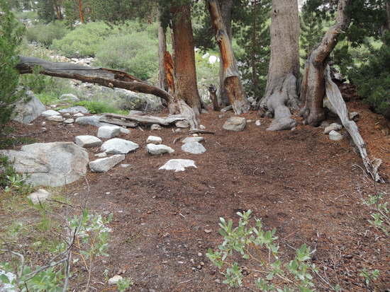
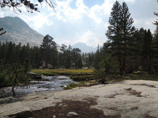
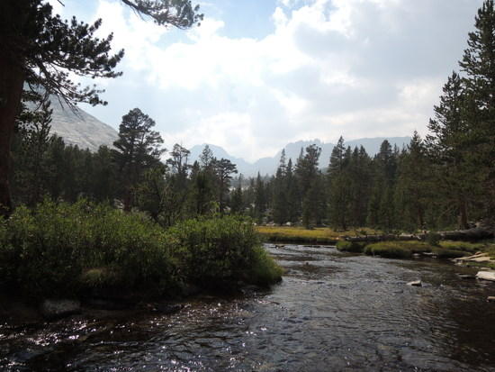
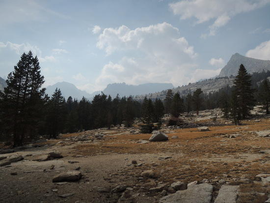
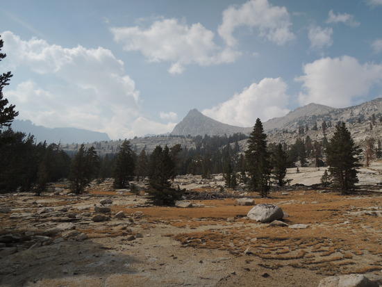
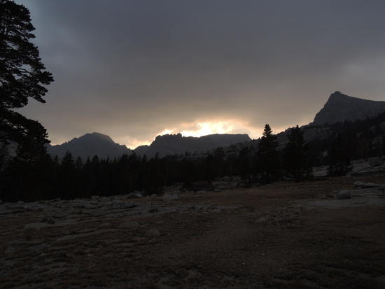
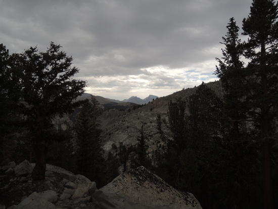
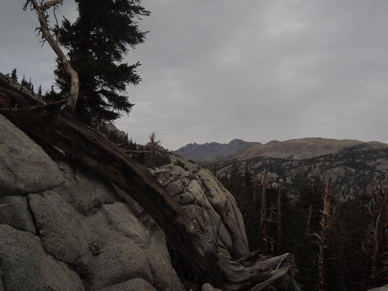
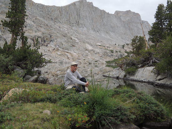
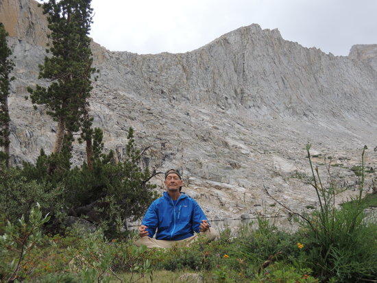
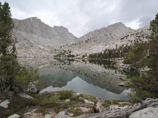
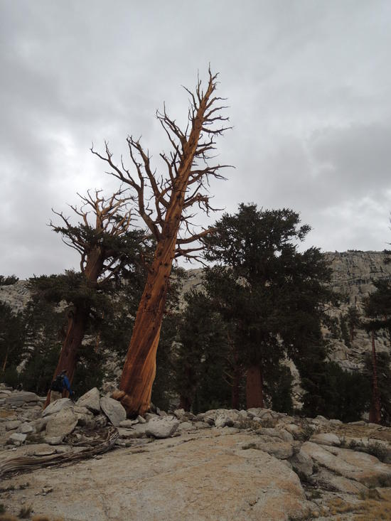
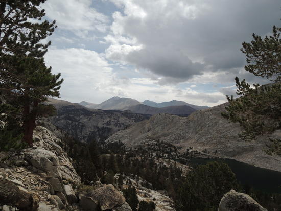
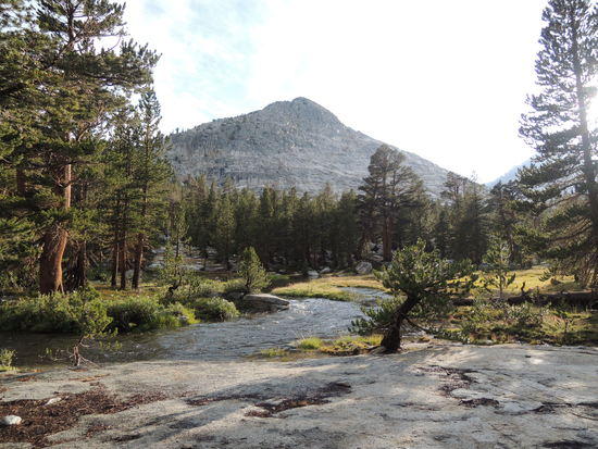
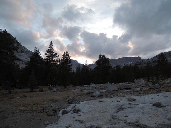
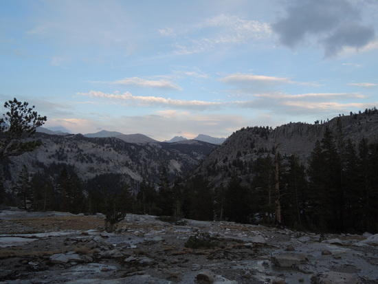
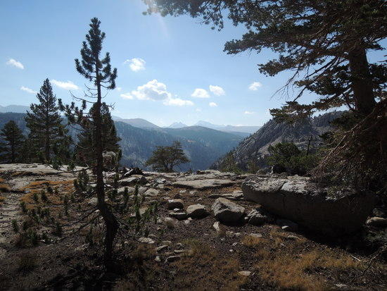
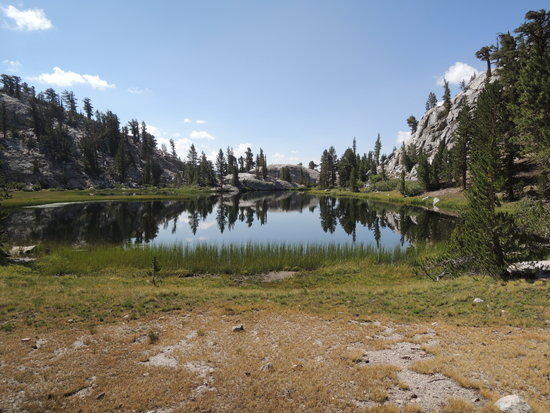
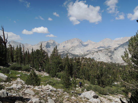
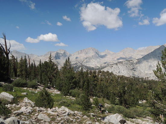
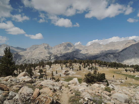
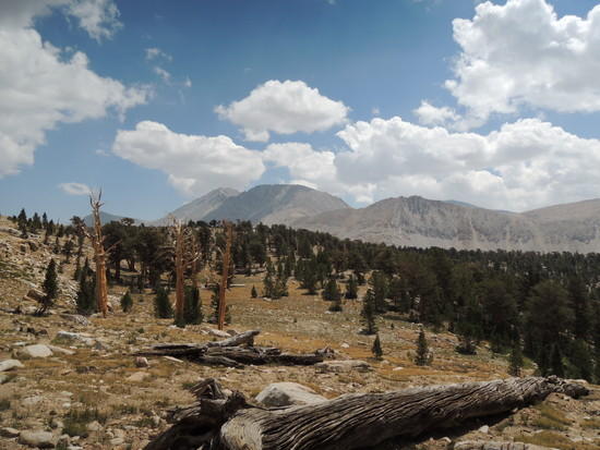
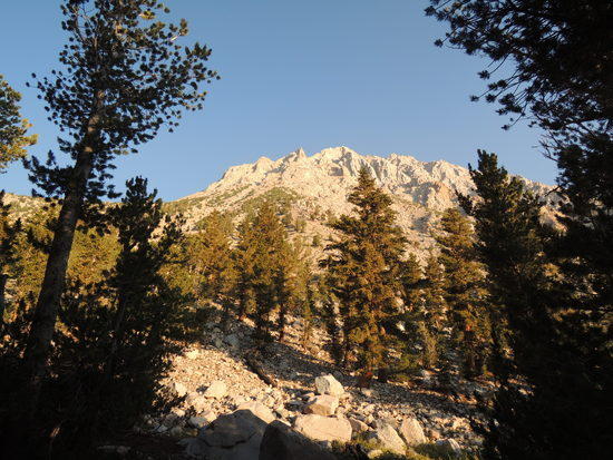
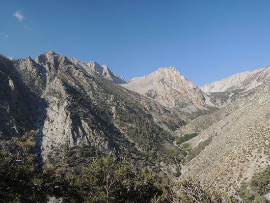
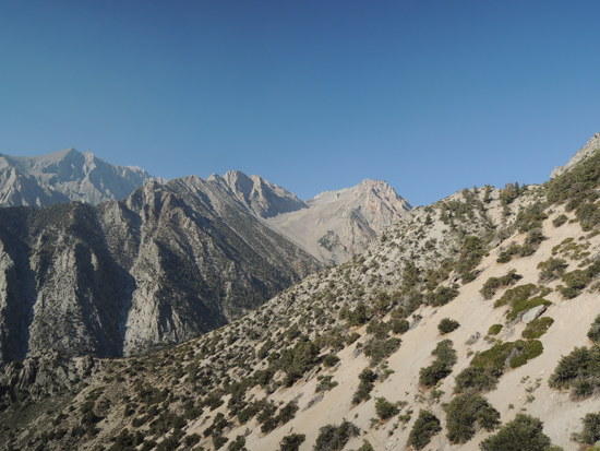
I've written enough about the Kern, so I'm not going to do another typical trip report. Rather, I thought I'd just post up a representative set of pictures from a recent 6 day trip Fred and I did up there. We caught it in a very unusual mood this time, wet and soggy for 4 days, unsettled for one, and 100 degree heat our last day when we got down near Symmes Creek. The high point of the trip was a really nice day hike that covered both arms of Milestone Basin, one which I hadn't done in quite a while. It was really a sweet, nostalgic feeling to get back in there again and revisit one of the best campsites I have ever found. Many a night has been spent there with a good friend in front of a comforting fire(back when they were OK) passing a flask of fine Armenian cognac back and forth.

That was also the day when the heavens really opened up and dumped enough rain to put Fred's tent in a pool of water and leave him marooned on his sleeping pad trying to keep his bag dry.

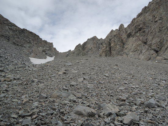
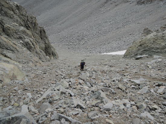
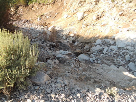
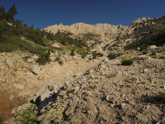
The super storm on July 21, 2013, rearranged a lot of furniture on the Shepherd Pass trail, including cutting a huge channel ~15-20 feet deep and 20-25 feet wide just below Anvil Camp. It is passable, but requires a bit of care to avoid a slip which would almost certainly remove some skin. The headwall was also loosened up quite a bit, and gets a bit tedious near the top. It takes a bit longer to do the route now, but the good news is you won't be seeing any horse packers up there for a long, long time.

Kern001

Kern004

Kern006

Kern010

Kern012

Kern013

Kern014

Kern018

Kern021

Kern027

Kern033

Kern035

Kern040

Kern045

Kern046

Kern049

Kern052

Kern054

Kern055

Kern059

Kern062

Kern063

Kern068

Kern070

Kern075

Kern077

Kern081

Kern083

Kern087

Kern090

Kern095

Kern096

Kern100

Kern101

Kern103

Kern106

Kern111

Kern116

Kern117

Kern122

Kern125

Kern128

Kern129

Kern138

Kern141

Kern142

Kern143

Kern144

Kern149

Kern151

Kern152

David W. BPL Member
PostedAug 21, 2014 at 8:54 pm

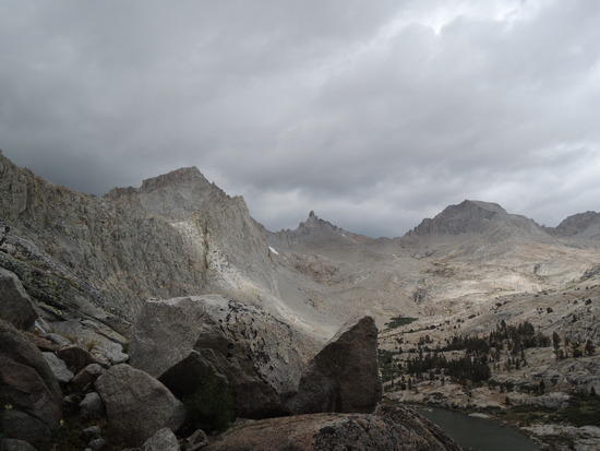
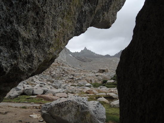
Great pictures Tom. I especially like the one taken behind the two rocks that gives the appearance of looking at a stunning formation through a key hole. I'm glad you had a successful trip in a beautiful area.

You don't seem to mess around. I have never seen you post pictures or a report that is ho-hum, just good or even great. They are always stunning. I look forward to your next one.

Bob Gross BPL Member
PostedAug 21, 2014 at 9:04 pm

Your shots of the lower Shepherd Pass trail storm damage were similar to what I saw on the Baxter Pass trail last month. It wasn't too bad, as long as you can think about where the trail ought to be.

–B.G.–

Adam White BPL Member
PostedAug 21, 2014 at 9:18 pm

Beautiful pictures! Thanks for sharing them.

Can you describe your route/itinerary in more detail? Over Shepherd Pass, then XC to Milestone Basin? Or up the Colby Pass trail?

PostedAug 21, 2014 at 9:22 pm

Thanks for sharing the pics Tom! I really enjoyed them. I've only been to the upper Kern once, on the JMT. I clearly need to remedy that and explore up there and Kaweah and Milestone basins too. Seems like that must be your favorite part of the Sierra? It's kind of a long drive from the Bay Area or I would have explored it more bay now.

It can be a lot of fun to be out there when the weather is unsettled, as long as you've got nowhere to be and don't get too wet…

PostedAug 21, 2014 at 9:33 pm

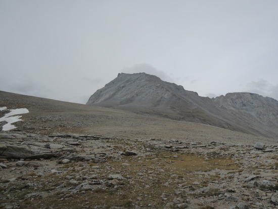
Your picture of Milestone Mountain made me curious, so I looked it up, and unbelievably it's only rated Class 3. Might have to incorporate climbing it into my future plans for the area. It sure looks impressive.

M G BPL Member
PostedAug 22, 2014 at 3:23 am

Tom,

Thanks for posting this. As you know I'm heading in to this area in a few weeks. If I wasn't excited enough about it already I am even more so now. Sounds like everyone is having some wet days out there this summer. Did you make any major gear changes for this trip?

M

PostedAug 22, 2014 at 11:56 am

Wow…what a beautiful area. Thanks for posting, Tom. I definitely need to vist that region.

PostedAug 22, 2014 at 4:18 pm

"I especially like the one taken behind the two rocks that gives the appearance of looking at a stunning formation through a key hole."

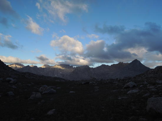
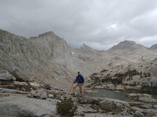
We had taken shelter from the rain beneath an overhang of a monster block of talus, and that view of Milestone Mt just happened to present itself. The upper reaches of Milestone Basin offer some of my favorite perspectives on the Great Western Divide. Almost everywhere you look, there is some beautiful vista.

@BG

"Your shots of the lower Shepherd Pass trail storm damage were similar to what I saw on the Baxter Pass trail last month. It wasn't too bad, as long as you can think about where the trail ought to be."

There is very little confusion as to where the Shepherd Pass trail is, dealing with it is another matter. Never easy, but always doable. From your report, Baxter sounds a little less straightforward. I'm looking forward to getting up there one of these days in the near future, as it's the only one of the "Big Four" I haven't gotten around to.


@Adam

"Can you describe your route/itinerary in more detail? Over Shepherd Pass, then XC to Milestone Basin? Or up the Colby Pass trail?"

From Shepherd Pass we followed the trail down Tyndall Creek until about a mile before its intersection with the JMT. At that point we cut off and headed due west, both as a shortcut to the trail that connects the JMT and the Upper Kern Basin, and to do our stream crossings before Tyndall Creek and the stream draining the basin below Forester Pass join up. Not a big deal this time of year, but it is a whole lot easier earlier in the year and I always do it that way now out of habit. Less than half a mile from where we picked up the connector trail, we headed north on the trail to Lake South America. From the lake we just picked an easy off trail line down thru the Upper Kern Basin to where the trail south from Lake South America joins the JMT-Kern connector trail. About 1/4 mile south of there, we turned onto the way trail up into Milestone Basin, and set up camp for a layover day about a mile into Milestone Basin. We did our day hike from that camp, and then retraced our steps back to the connector trail and hiked it back to the trail along Tyndall Creek, from whence we exited via Shepherd Pass.


@Andrew

" I clearly need to remedy that and explore up there and Kaweah and Milestone basins too. Seems like that must be your favorite part of the Sierra? It's kind of a long drive from the Bay Area or I would have explored it more bay now."

It is hands down my favorite part of the Sierra. Long story, but when I moved out to CA, I made a beeline for the Kern on my first real backpacking trip in Sept, 1974, a 17 day odyssey, and fell ass over heels in love. I've been back there every year since with the exception of one year overseas, and a couple due to injuries.

I think you'd make yourself right at home down there. Kaweah, Milestone Basin/Bowl, and a lot of other routes are made to order for someone like you.

It's a long way from the Bay Area if you go in over Shepherd, New Army, Kearsarge/Forester, but you can also get there from Roads End via Forester or Lake Reflection/Harrison, as BG did a couple years ago. Kaweah Basin can also be accessed from the west Side via Kaweah Gap and Pyra-Queen Col. That said, I think the East Side routes are far more fun and aesthetically pleasing.

"It can be a lot of fun to be out there when the weather is unsettled, as long as you've got nowhere to be and don't get too wet…"

We got the nowhere to be part right this time. The not getting wet part, welllll….
not so much. All part of the game though, and we had a great time.

"Your picture of Milestone Mountain made me curious, so I looked it up, and unbelievably it's only rated Class 3. Might have to incorporate climbing it into my future plans for the area. It sure looks impressive."

It is impressive, even downright intimidating when you look at it from the east side. The routes there are mid 5th class, I believe, but don't quote me on that. The class 3 route(s) are on the west side. Amy and Jim's TR, link below, has a great picture of what you'd be scrambling from the west, which you could access either from Midway Col, or the Milestone Pass vicinity.

http://www.backpackinglight.com/cgi-bin/backpackinglight/forums/thread_display.html?forum_thread_id=81643

Thanks to all of you for reading this, and for the kind words.

PostedAug 22, 2014 at 4:32 pm

"I definitely need to vist that region."

The pictures don't do it justice, Steve. I have been unashamedly reduced to tears by the beauty on more than one occasion. I hope you include at least on visit up there in your future plans. Don't hesitate to PM me if you think I can be of any help.
PostedAug 22, 2014 at 4:52 pm

"If I wasn't excited enough about it already I am even more so now."

Thanks, M. I'm betting you have an awesome trip, based on your intended route, and am really looking forward to a TR.

"Sounds like everyone is having some wet days out there this summer."

The weather has been increasingly unstable the past 2 years, IME, but this is the first time I have ever run into the kind of rain we had that one night up in Milestone, at least down in the Kern. We got chased out of Humphreys Basin last year by a similar deluge that made it impractical to attempt either of the 2 off trail routes we had in mind. I sure hope you don't run into anything like we had, for obvious reasons.

"Did you make any major gear changes for this trip?"

No, but I did learn how to set up my Skyscape X faster, and get in and out of it even faster. ;0)

PostedAug 22, 2014 at 4:54 pm

Tom,
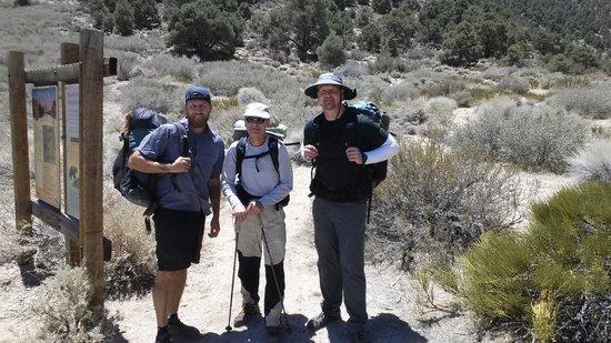
Thanks for sharing, bud. This brings back fond memories. Cant tell you how much I appreciate your sharing this place with me. Looks like you and Fred had a wonderful walk as well.

I think of our hike often, buddy.

the crew

the view

PostedAug 22, 2014 at 5:03 pm

"This brings back fond memories. Cant tell you how much I appreciate your sharing this place with me. Looks like you and Fred had a wonderful walk as well.

I think of our hike often, buddy."

For me, too, Adan. That was a very special trip that I shall long remember. I guess you know by now that I was glad you could make it.

Fred and I go back a long way, and this was one more in a long string of good ones. I feel very fortunate to have not only him, but you, Craig, Doug I, and others unknown to BPL to share all that beauty with. Greedy little fellow that I am, I hope to get a few more in before I hang 'em up.

Bob Gross BPL Member
PostedAug 22, 2014 at 5:05 pm

"It's a long way from the Bay Area if you go in over Shepherd, New Army, Kearsarge/Forester, but you can also get there from Roads End via Forester or Lake Reflection/Harrison, as BG did a couple years ago."

I'm still a little sore and stiff from that adventure.

–B.G.–

Andy Duncan BPL Member
PostedAug 23, 2014 at 1:07 am

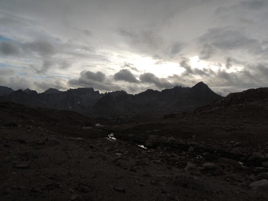
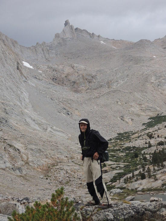
Many thanks for your trip report and photos. The dark clouds in the two from upper Milestone Basin look intimidating. I followed your advice and went through MB earlier this summer and it was beautiful, but I got hit by that 'super storm' on July 21st. I spent a few hours in the lightening position as it blew through Kaweah Basin. I really appreciate you sharing your experience in the Kern. I'm definitely heading back!

PostedAug 23, 2014 at 12:20 pm

"The dark clouds in the two from upper Milestone Basin look intimidating."

They definitely had us in alert mode. As it was, the rain made the scramble down off the west ridge of Peak 11,784 a little edgy at times. We tried holing up for about 45 minutes beneath an underhang once we got down to the stream, but in the end ran out of patience and resigned ourselves to getting soaked on the way back to camp. Fortunately, there was no lightning in the vicinity.

"I followed your advice and went through MB earlier this summer and it was beautiful, but I got hit by that 'super storm' on July 21st. I spent a few hours in the lightening position as it blew through Kaweah Basin."

Yeah, I love that whole area from upper Milestone Basin, over the pass to MB and on into Kaweah Basin. It is so beautiful, and most of the time you can have it to yourself.

You are definitely pretty hung out up in Kaweah Basin in a thunderstorm. I've been lucky so far, but I imagine you must have been pretty nervous.

"I'm definitely heading back!"

I figured you would be. Guys like you belong up there.

Thanks for the kind words, and for posting your experience. It's always interesting to find out what you've been up to. Karl gave me a second hand account a week or so ago, but he missed the part about Kaweah Basin, which is really the cream of the crop, IMO. I'm glad you made it up there.

Viewing 16 posts - 1 through 16 (of 16 total)
Loading...