My buddy and I just completed a south-to-north version of the Dixon/Wilson version of the WRHR with a couple extra days for fishing and waiting out weather built in. We started Saturday August 23rd and hiked out Sunday, August 31st. For future reference we were told in the Pinedale gear shop that this was about a 150% of normal snow year. Slow moving mosquitos were present but not particularly bothersome near melting snow fields at elevation, and the weather as a whole was pretty unsettled. When we were hiking out Green River Lakes at the end bugs were a non-issue. We were snowed or hailed on many times, but generally had breaks in the weather when we needed them to access the highest portions of the route. Here are a few photos of the snowiest sections of the route:
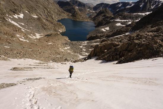
Pete ascending out of Alpine Lakes valley from the south: There was (soft) snow pretty much down to the level of the lake, but if you wanted to walk on rock that probably would have been an option for most of the pass. This valley was the trickiest part for us in terms of route finding and travel, but once we hit the base of the pass we made the climb in about 45 minutes.

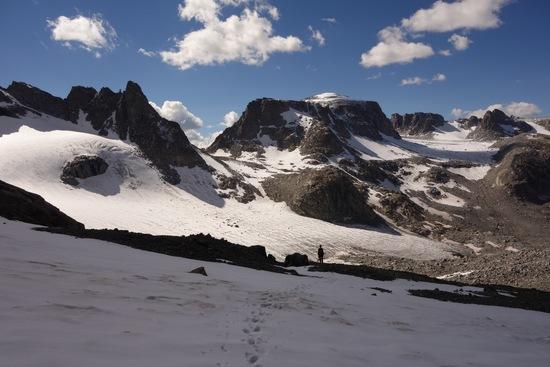
Indian Pass from just north of/below Alpine Lakes pass: there were at least a few inches of soft snow on top of the ice which may have made travel without a traction device feasible. I was happy to have my microspikes.
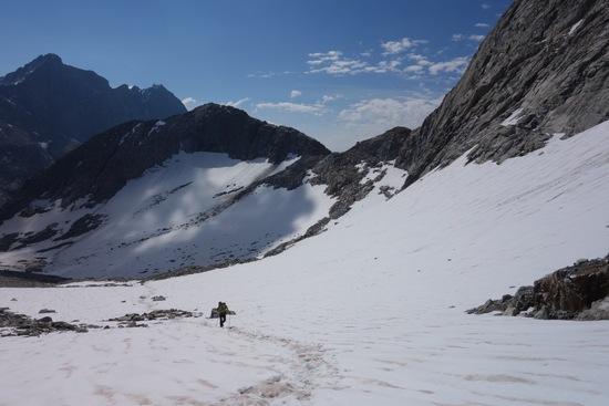
Looking back toward lower Titcomb Basin while approaching Knapsack Col from the east:
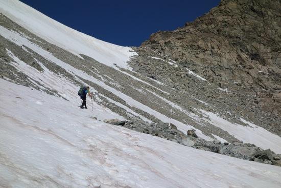
nearing Knapsack Col:
As I mentioned above, we brought micro spikes and were happy to have them. However, I imagine some folks here could do this route in these conditions just fine without them. If these photos are not helpful at least I had a chance to show them off :)
take care,
Matt
edited for grammar.