Hello! I thought I would share a trip report for the the first time from a recent backpacking trip in Wrangell St Elias NP in Alaska. In planning for this trip we were hardly able to find any information about this area, so hopefully this can help some people out in the future!
The Route:
We spent 3 nights and 4 days on this ~38 mile mostly off-trail non-technical route. We wanted to extend the "popular" Lost/Trail Creek Loop and do some exploring of the drainages and passes north. This turned out to be an amazing route in deep, vast Alaskan wilderness. You can access this route off of the Nebesna Road about 6 hours northeast of Anchorage. This is an awesome trip for experienced backpackers who want to get remote in Alaska but can't pull off a fly-in trip. You could easily spend weeks exploring the valleys and passes of this area.

Photos:
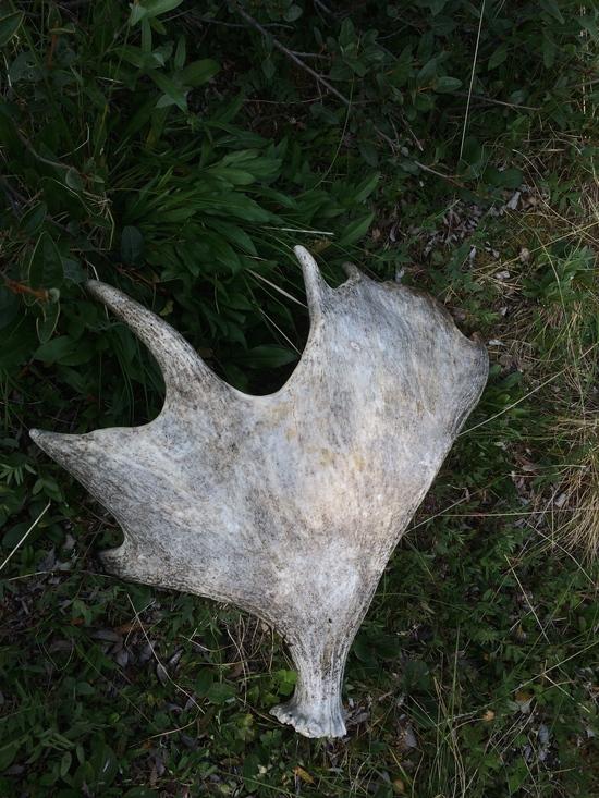
Tons of really cool Moose and Caribou antlers scattered througout the area
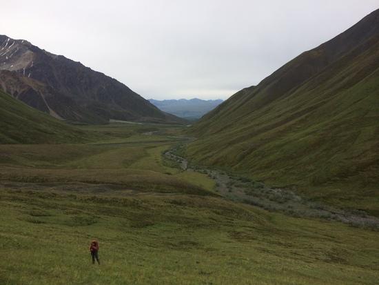
Climbing out of Trail Creek
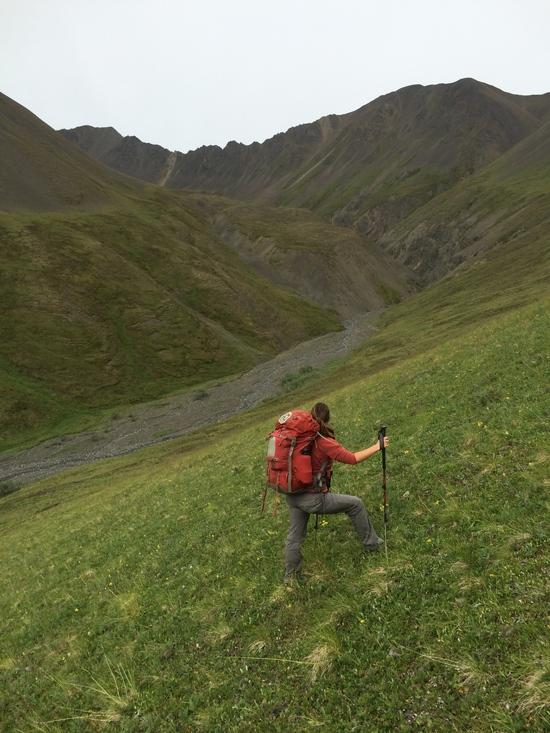
The amazing Suslota Creek Valley
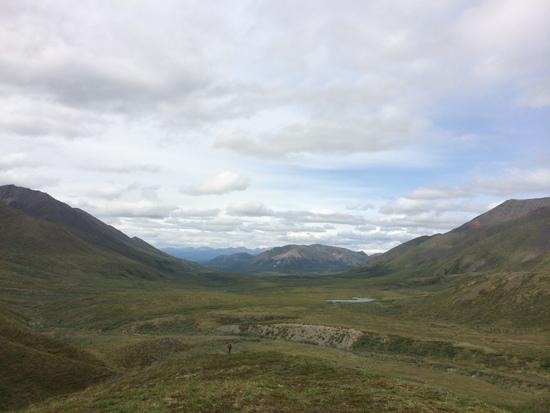
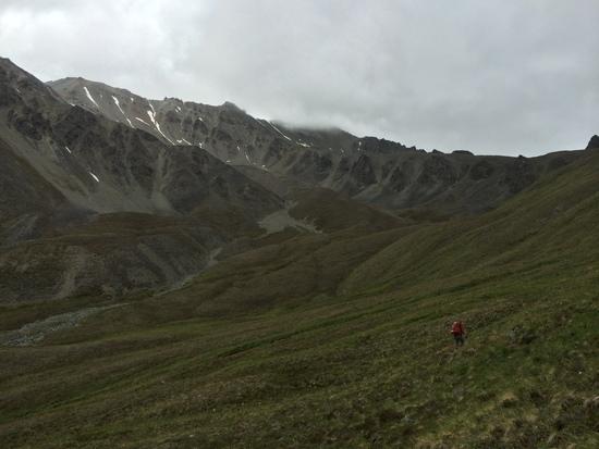
The Mentasta mountains
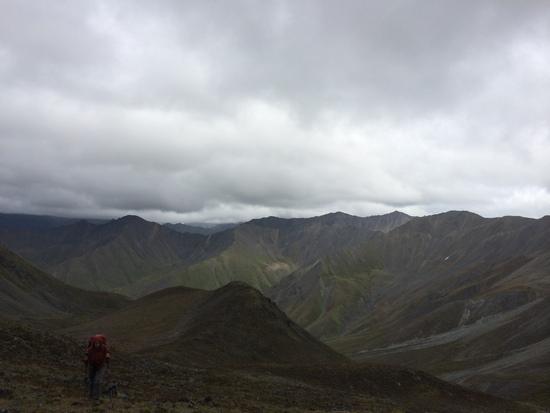
Camp number two
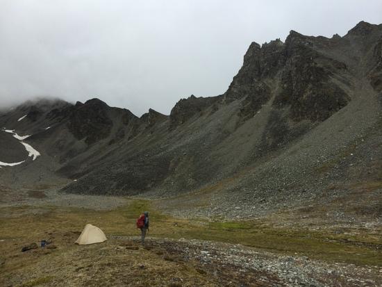
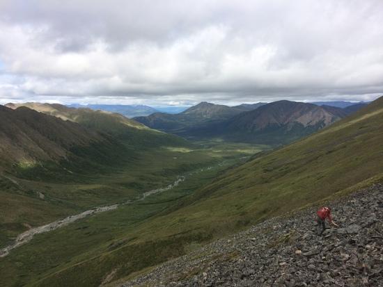
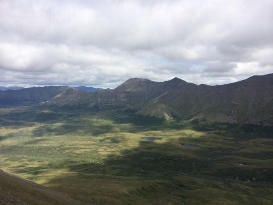
Camp number three
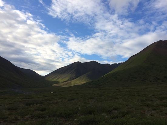
Ridges above Lost Creek
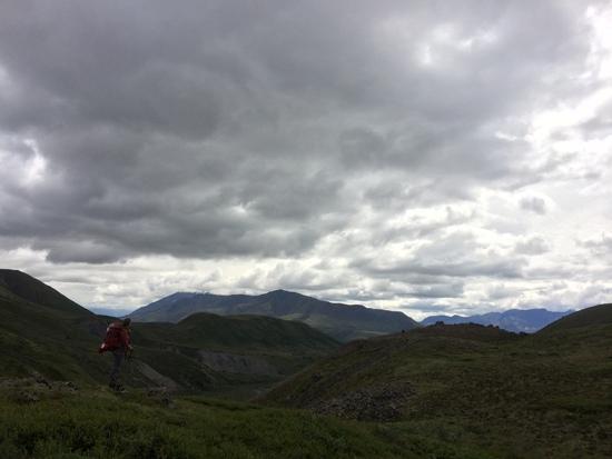
OTHER LOGISTICS:
Safety:
We carried bear canisters and bear spray (on our hips). We also rented a satellite phone in Anchorage, it however did not seem necessary. There is a NPS ranger station at the start of the Nebesna road where you can register before the start of your trip. The ranger station also rents bear canisters.
Navigation:
We used Gaia GPS app on an iPhone, but you could get easily get by on good topos alone. The navigation in the tundra is pretty straight forward. All of the hiking was non-technical but there were plenty of talus sections that can tricky/sketchy. We did the loop clockwise, but I don't think that matters much.
Weather:
We lucked out on weather as it threatened rain the entire time but we only got sprinkles in the night. It was a lot colder than we expected and we basically lived in our Melenzana Mico-Grid's.
Thanks a ton for looking!