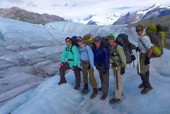
Wrangell Saint Elias National Park is the largest national park in the United States. It’s six times the size of Yellowstone, contains 9 of the country’s 16 highest mountains, and is home to some of the world’s longest non-polar glaciers. The 8-hour drive from Anchorage, AK to McCarthy to reach the park is spectacular. Our 9-member BSA Venturing Crew (#2425, Overland Park, KS), consisting of five scouts ages 14 to 17 and four adult leaders, were treated to views of the Alaska, Talkeetna, Chugach, and Wrangell mountain ranges as we drove east along Highway 1 and finally along the 60 mile unpaved and wash-boarded McCarthy Road.
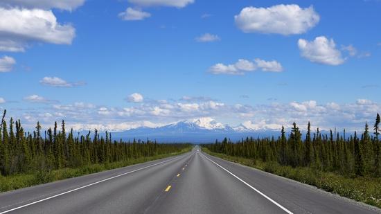
The McCarthy Road takes approximately 3 hours to drive end to end and has replaced the now abandoned Copper River and Northwestern Railway. As the locals say, “half of the adventure of McCarthy is getting here”.
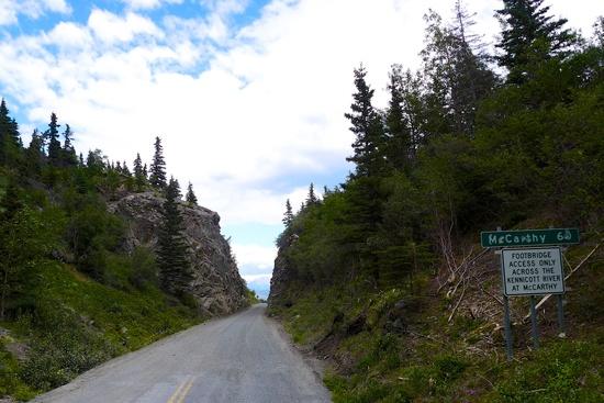
The objective of our trip was to spend 5 backcountry days in the area to gain experience with glacier travel, ice climbing, and the vastness and beauty of the Alaskan wilderness. In the future, we hope to summit a “big” mountain. This trip report summarizes our first major step towards that goal.
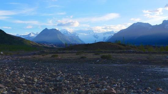
Once reaching the end of the McCarthy Road, we camped at the toe of the Kennicott Glacier. Not surprisingly, all the tent doors were tied back and positioned towards the commanding view of Mt Blackburn (16,390’). We fell asleep listening to the rushing sounds of glacial runoff and the hum of Alaska’s state bird, mosquitoes.
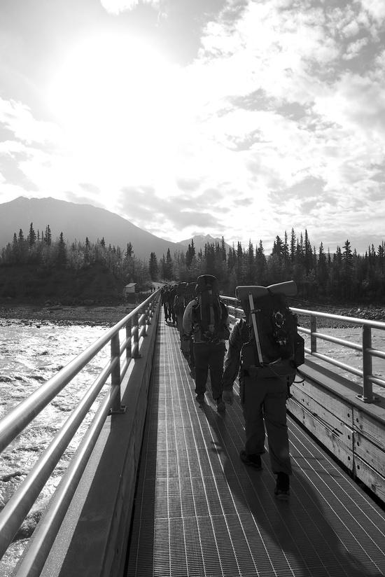
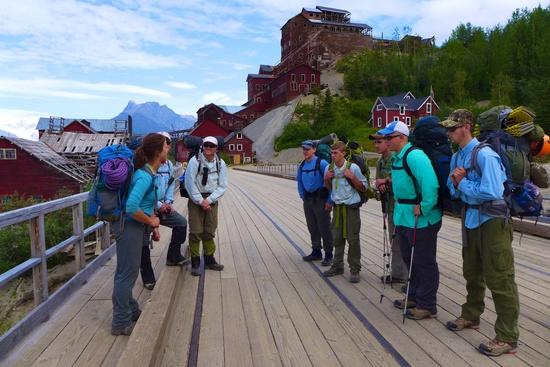
The next morning we broke camp and walked across the Kennicott river footbridge and headed towards the town of McCarthy (which limits vehicle access to locals only).
We met with a NPS Ranger for a detailed bear safety discussion and to get some beta on our proposed route. He kindly implied it was a “bit” ambitious, but admired our enthusiasm. Following our meeting with the Ranger we spent the day on the Root Glacier with two guides from St Elias Alpine Guides.
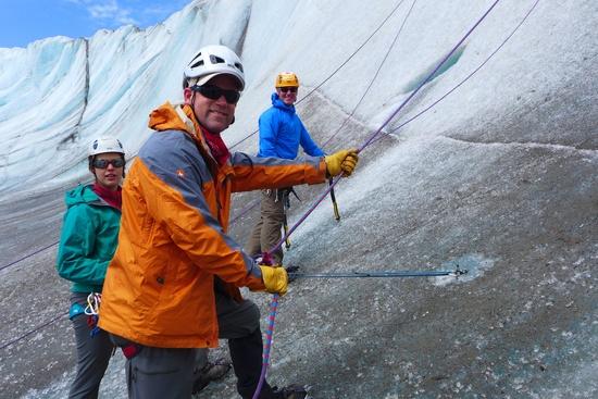
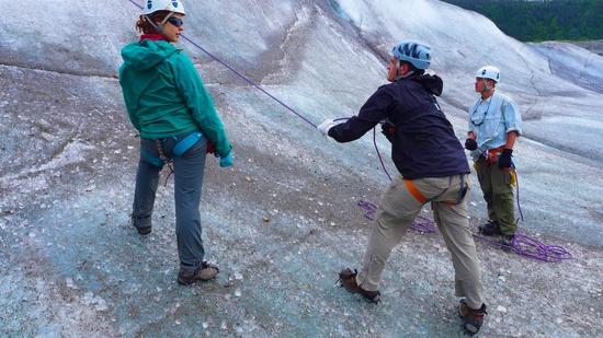
They provided excellent instruction on glacier anatomy and hazards such as crevasses, icefall, and moulin. We honed our glacier travel techniques (cramponing, self-arrest, and roped team travel), setup and worked with various crevasse rescue systems, and wrapped up the day discussing expedition behaviors of successful teams.
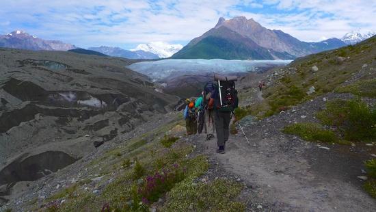
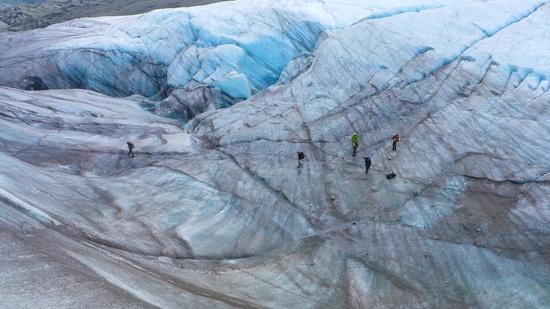
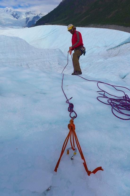
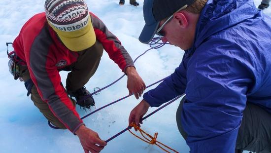
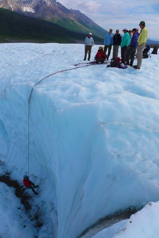
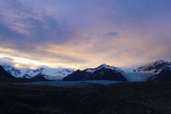
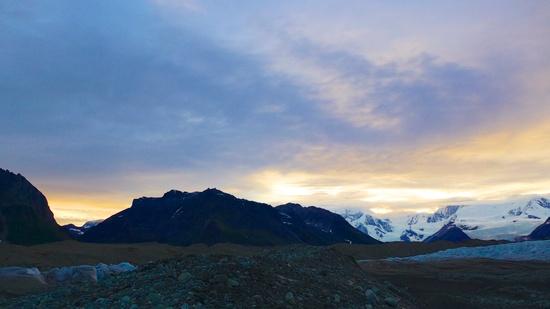
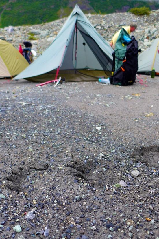
Following the long day of training our guides headed back to town and we crossed the medial moraine and western thumb of the Root Glacier. Following some extensive route finding we found a safe place to hop off the glacier and climb the 100’ of lateral moraine into Donoho Basin. At the top we were rewarded with a great view of the mile-high Stairway Icefall, one of the tallest in the world. We set up camp on Root Glacier’s western edge near Donoho Falls. Following a brief visit from a porcupine, we watched a spectacular sunset and shortly thereafter a beautiful sunrise. We were in the land of the midnight sun, now on our own, and loving it. We pulled our watch caps over our eyes and dreamed of tomorrow.
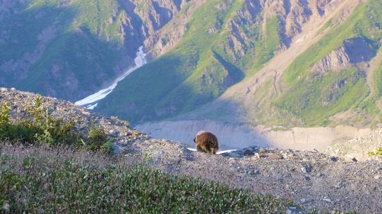
The next day we were off the ice and crossed the ~4 square mile Donoho Basin, which lies between the Root, Gates, and Kennicott Glaciers just south of Donoho Peak.
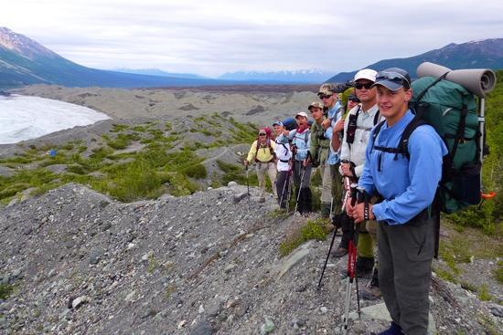
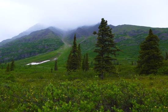
Prior to leaving McCarthy, the NPS Ranger let us know that this small section of land is home to no less than 20 to 30 black and 9 grizzly bears and that for the most part we’d be bushwhacking off trail in tall willows and alders. Needless to say, we made lots of noise, and had bear spray at the ready. There are no officially established trails in Wrangell St Elias. There are, however, plenty of established moose and bear trails given their high concentration. We climbed further into the basin and bushwhacked our way to the most eastern of the 3 large lakes in the basin.
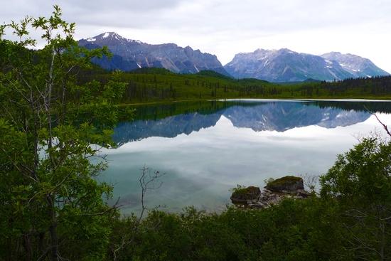
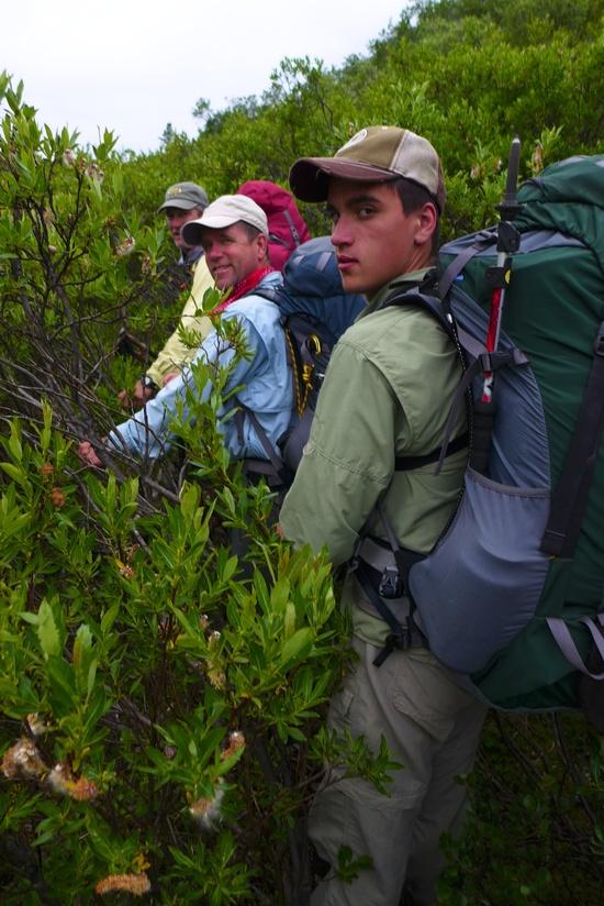
Along the way we unintentionally flushed a black bear from its’ resting site. Not keen to wrestle with a burly bunch of scouts he moved along. At the first lake, we found a trail that followed its’ northern shore and reached the base of Donoho Peak. We had hoped for a clear day so that we could summit of Donoho Peak. However, persistent rain kept the cloud base firmly near 3,000’ the entire day and we opted (at our guides recommendation the day prior) to skip the 4,000’ climb into the clouds and we headed towards the western edge of Gates Glacier to set up camp.
As we hiked along the southern shore of the second lake, a cinnamon colored black bear rose out of the willows to greet us. We vigorously said hello back, stayed tight as a group, and he decided to split. That evening, the rain subsided and the cloud base lifted. Rays of sunshine periodically fell on the Gates Glacier icefall and it glowed an iridescent blue. After a long day of bushwhacking in the rain, being concerned you’d come nose to nose with a grizzly bear, this was clearly Mother Nature’s way of telling you “type 2 fun is totally worth it”.
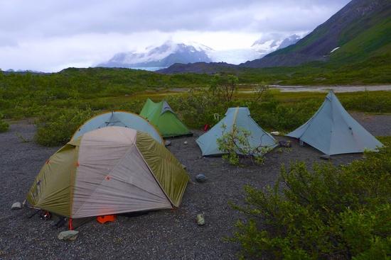
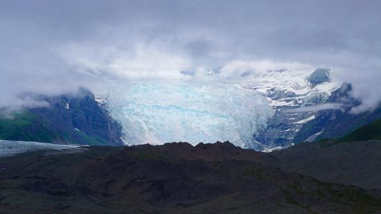
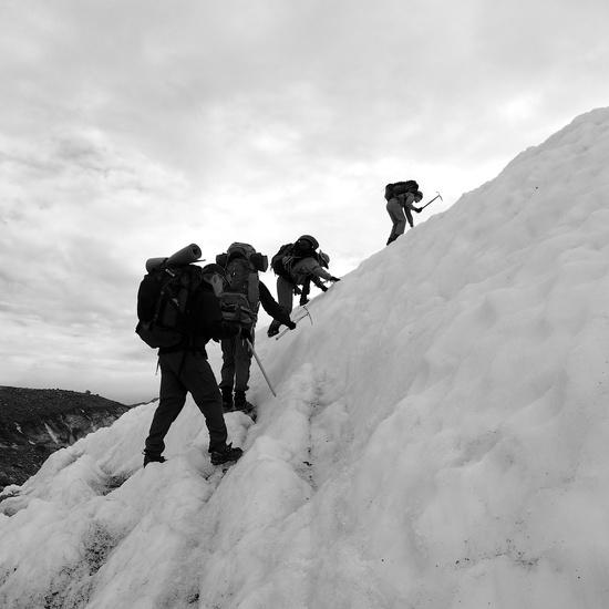
The following day we planned to cross Gates and Kennicott Glacier. We headed off and the scouts found a high point on the lateral moraine to look for a possible route across the severely finned compression zone where Gates meets the Kennicott Glacier. They found a line and we made it across to the Kennicott Glacier.
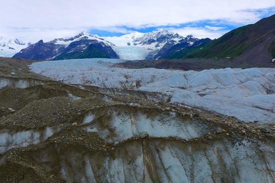
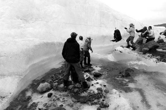
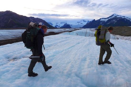
The remaining hours were spent heading northwest across several medial moraines and strips of glacial ice, each presenting there own unique route finding and climbing challenges. We were warned by the NPS Ranger that while it’s only 3 to 4 miles across, expect it to take an entire day of walking and to put in 8 to 12 miles in crampons. One such event required the placement of an ice screw, 6 mm accessory cord and a pulley to zip line our packs across. Perhaps this was not absolutely necessary, but it was nevertheless some serious fun.
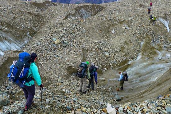
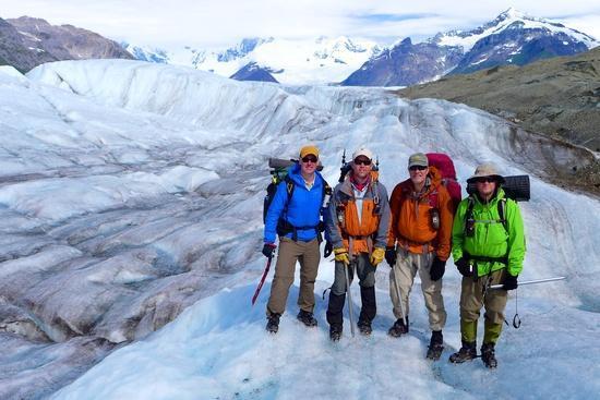
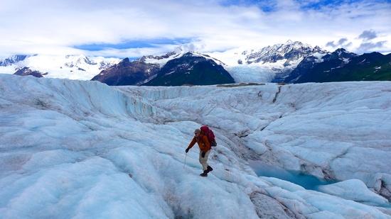
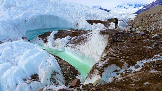
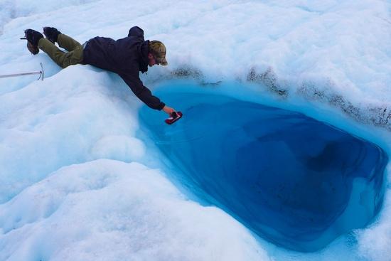
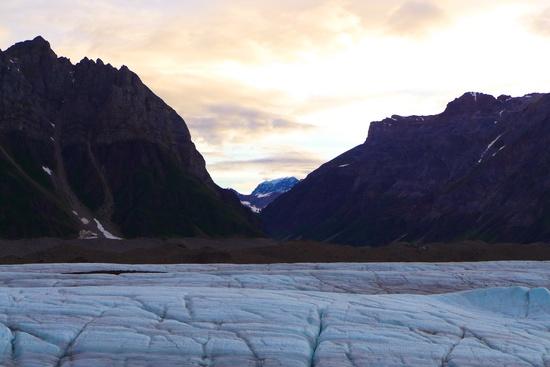
In retrospect, we should have broken camp earlier and gawked a bit less, as each hour you spend on the glacier allows more time for the sun to melt snow and ice from the massive cirque above us and raise and widen the braided streams that so often created obstacles. This ultimately presented our group a significant challenge as we attempted to find a route onto the last strip of ice. We were confronted with a rushing stream that had carved a deep gorge in the glacial ice. We found a possible section that likely some of the group could leap across, however, a deep undercut bank lay immediately downstream that could possible drown anyone who fell in. For certain, the near freezing water would have a posed a hypothermic risk. As we hiked north and south from this point, our efforts to find a safe crossing were unsuccessful. Either the stream was too wide, the immediate downstream risks were too great, or the far shore slope was too steep. We had planned to camp overnight at the entrance to Hidden Creek Valley (west of Kennicott Glacier) and day hike into the valley the following day.
We discussed our options as a group, took a vote, and decided to head back across Kennicott Glacier to our camp were we stayed the prior evening. Had all members been prepared to sleep on the ice (some lacked sufficient sleeping pad insulation), we could have camped on the glacier and tried in the morning. As a result, we stopped to rest and eat dinner on the glacier and then headed back. Since we tracked our path using a GPS, the route back home took nearly half the time.
Undoubtedly, we all second-guessed the decision to not cross the formidable runoff. Fortunately, before starting the trip, we had talked about “summit fever” and “the first thing to go would be our plan”. We made it to camp 5 hours later and slept well after spending 12+ hours in crampons.
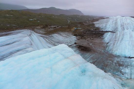
The next morning we broke camp, discussed our planned route back to town and headed south. With thoughts of greasy cheeseburgers in our head, we traversed the terminal moraine of the Gates Glacier with vigor and picked up the Kennicott “glacial highway”, a stretch of relatively smooth ice only occasionally interrupted with periodic areas of erosion creating vast bowls.
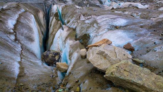
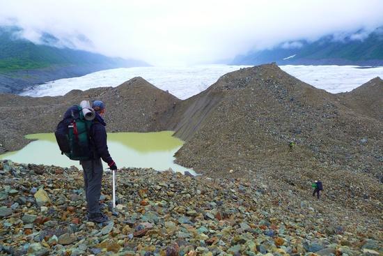
We reached the end of the Kennicott glacier and headed north across the terminal moraine of the Root Glacier. We were home free once reaching the Root. We were glad to remove the crampons and walk on dirt back to the town of Kennecott.
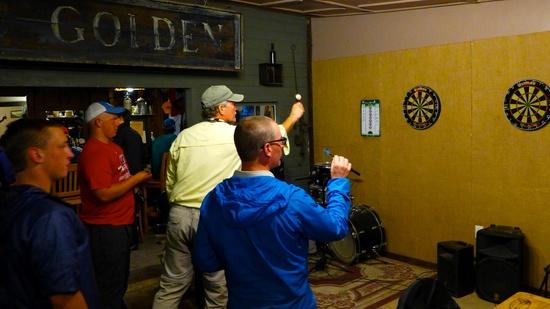
We caught a $5 shuttle from Kennecott to McCarthy and headed to the Golden Saloon for burgers and a few rounds of darts. Of note, despite being rusty, the adults beat the scouts.
We crossed the Kennicott River footbridge and overnighted at the toe of the Kennicott Glacier one last time. In the morning we said our goodbyes to this magical place. On our way back to Anchorage, we spent a few days fly fishing for salmon in the Copper River valley. After arriving in Anchorage, we met up with our affiliate Boy Scout crew (Troop 425) who spent their time hiking the Kesugi Ridge Trail in Denali State Park and sea kayaking in Kachemak Bay State Park on the Kenai Peninsula. We then begrudgingly boarded the plane back to Kansas.
While our Venturing crew missed out on Donoho Peak and Hidden Creek Valley, we did experience a part of our country that many do not. Less than 10,000 people per year visit Wrangell St Elias National Park. Even fewer leave the roads. As a crew, we learned a bit more about ourselves and each other. We also advanced our skills on the ice and are one step closer to reaching the top of that “big” mountain.