I returned from a quick 24 in the Gila's “Black Range” (Aldo Leopold Wilderness) of New Mexico, right in the middle of the burn left by the “Silver” Fire. The Gila National Forest is divided into 2 wilderness areas, the Gila Wilderness and the Aldo Leopold Wilderness ("Black Range"). Sad to report that the area going up from the main road (McKnight Rd from Mimbres) is mostly in pretty bad shape, as is the part of the major "Crest Trail" we hiked. Just to add, we were thinking of doing a loop but the intersections with Pretty Canyon and Water Canyon were completely overgrown. This, we felt, would require a trail maintenance trip, so we stuck with the main Crest trail …. and even that turned out to be a bushwhack.
Going up the McKnight road requires a high clearance vehicle and 4WD/serious AWD is highly desirable. Another AWD on this trip had a driver who partipates in off-road rallies and said this drive is "rally worthy". A couple areas, we had to spot each others vehicles. View of McKnight area burnt from McKnight "road" itself …
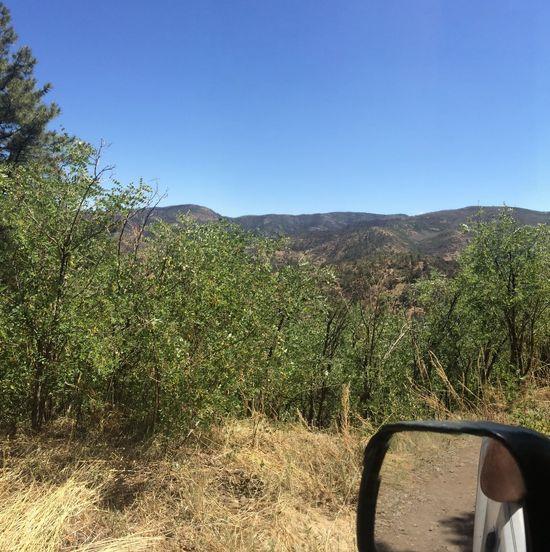
View of Black Range from saddle towards “Truth or Consequences” NM …

The cabin is in very good shape and we found evidence the FS had a control burn around the base of each tree to keep the area from burning. After a couple of double IPA’s to steady the nerves after the strenuous drive, we started up towards the Aldo Leopold's Crest trail. More crowded forest before going to (burnt) vistas but vistas nonetheless …

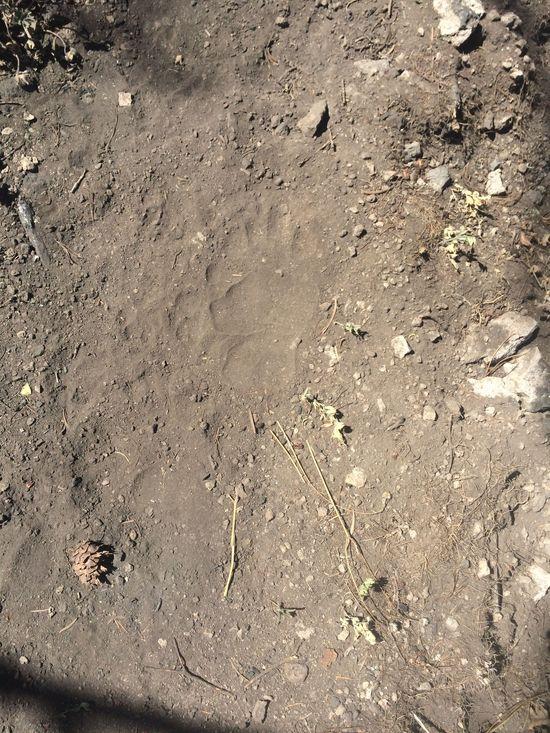
We did find signs of life. Here’s a black bear paw print …
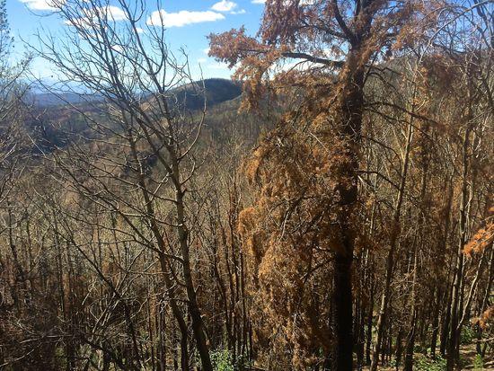
West of McKnight Peak is burnt
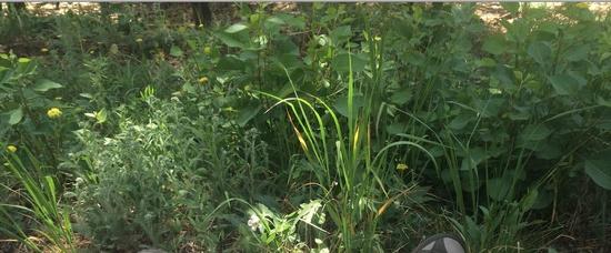
Lush grass and other species close to the ground prevails ..
So why go? The views are still great. Parts of a panorama from McKnight itself (a spur off the main trail) …
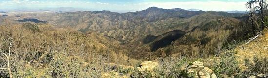
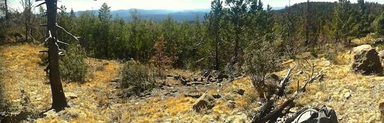
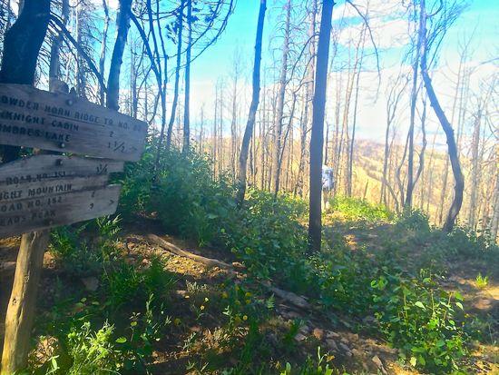
Trail junction we tried piecing together ..
Fellow hiker on overgrown trail …
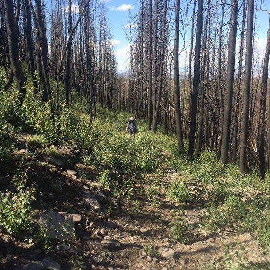
The trail (which was an old wagon road from about 100 years ago) is basically being overgrown by aspen north of McKnight peak. In response to the forest fire, we think the FS dropped fertilizer to stimulate plant growth but without traffic, this portion of the trail may soon be lost.
3 hours later we got to Mimbres Lake only to find it dry …
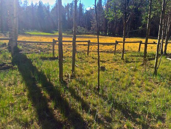
We consumed most of our water as some of the springs were no longer running (burn plus a megadrought at the hottest part of the summer) and planned to return.
Going back we detoured to find a spring running in a protected north facing canyon. However the black bear claimed this spring in a unique way I’ve never seen before. Basically a small monument of bear poo …
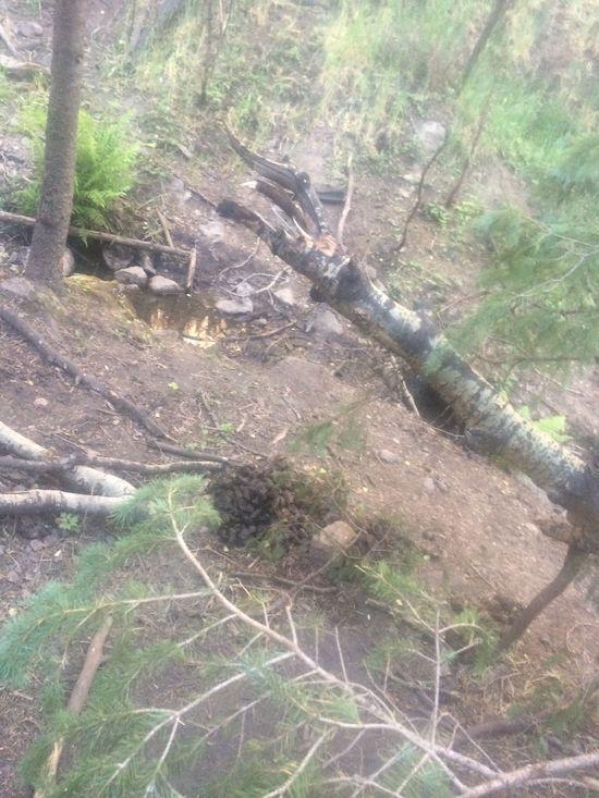
I do not recall ever hearing about this behavior as the bear obviously marked the territory with droppings. Surrounding the monument was a carpet of even more bear droppings. Think it illustrates the desperation of the animal to guard its water source like this.
My buddy tested his water filter at this source but I felt good on water ….
Returned to the vehicles for a double IPA (ok 4 and a half) … and a carcamp under the blue skies.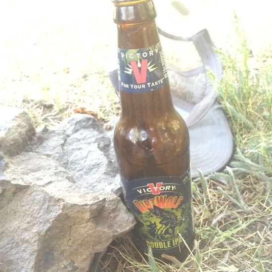
Leaving we ate a great breakfast (Huevos rancheros) at the Tienda Del La Sol between Silver City and Hillsboro Pk going into Mimbres NM. Hope the store and restaurant stay open.
I would consider coming back to the area during the rainy season when more springs would presumably be running as the wildlife only has so much water up there right now. I would also bring work gloves to remove smaller blowdowns or keep the ash off of hands when touching other burnt objects. This area of the Crest Trail now needs solid navigation skills (we used GPS with topographic map background).
That said it was Type 2 fun bordering on Type 3. There's still backpacking to do in southern NM but the water sources seem to get further away with each successive fire, so maybe looking at a lightwt bushwhacking kit…
Off to up north now …
ed:photo