This was only a day hike, but I thought people might enjoy pictures of the Columbia Gorge. The south side of Table Mountain on the Washington side of the Gorge broke away and damned the Columbia River hundreds of years ago (here's a quick summary of that event: http://en.wikipedia.org/wiki/Bonneville_Slide) forming the Bridge of the Gods. The modern bridge that the PCT crosses between Oregon and Washington is named after that natural bridge, that eventually washed away. There are a few trailheads, all less than one hour from Portland.
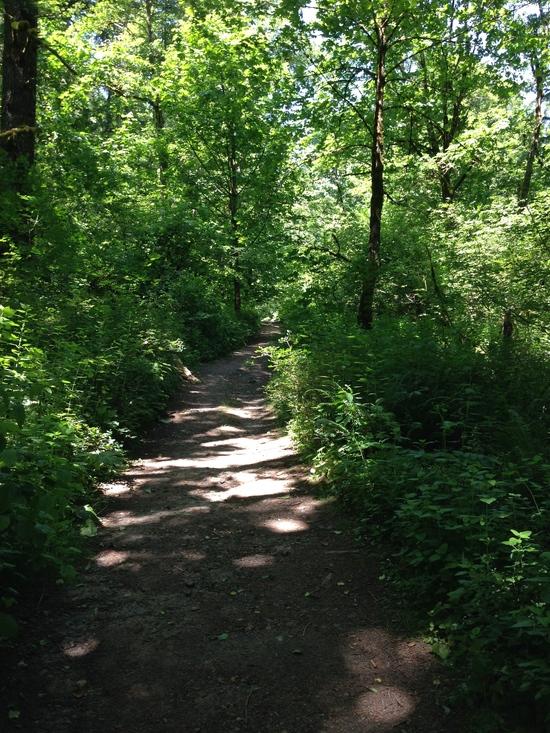
Typical forested PNW trail.
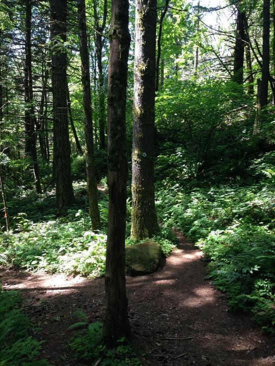
Intersecting the PCT.
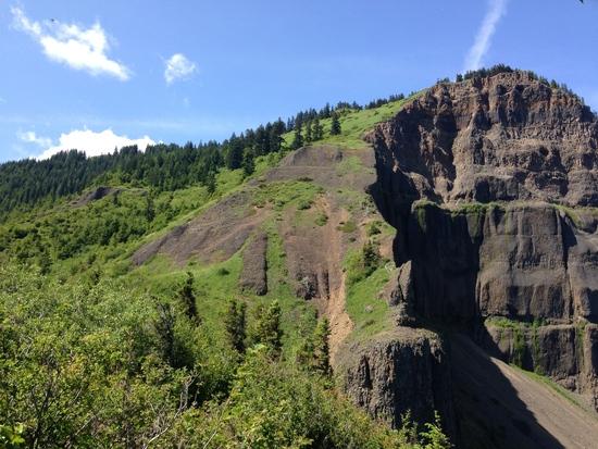
Table Mountain. You can see how the mountain sheared away.
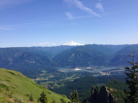
From the top. Mt. Hood across, Bonneville Dam below and the well-known Eagle Creek trail runs up the valley at the center.
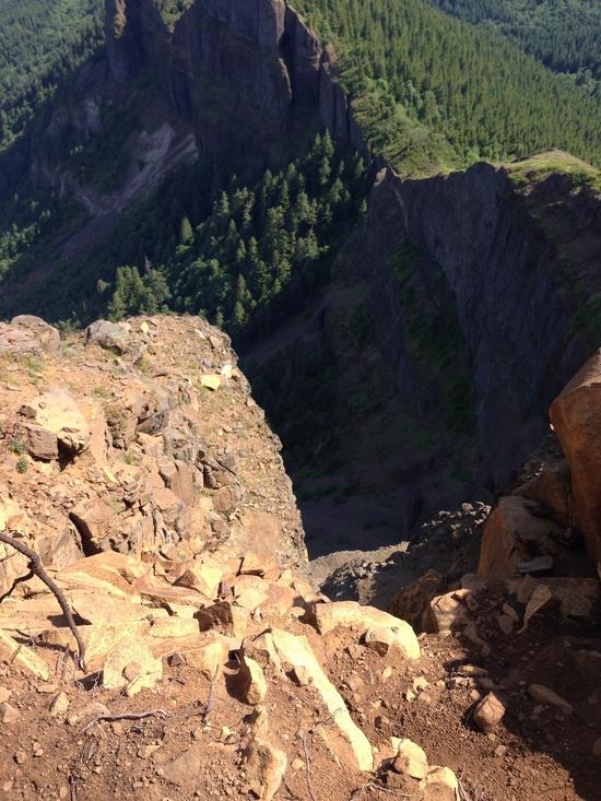
Looking down the cliffs.
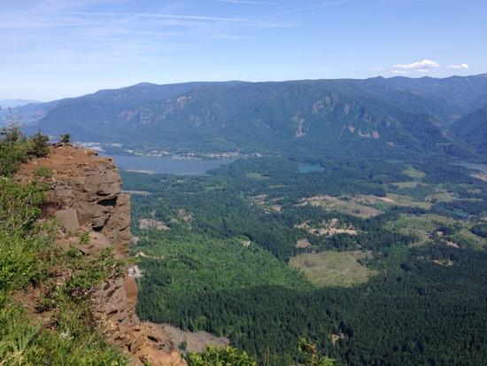
At center is the small town of Cascade Locks and the Bridge of the Gods. The PCT crosses this bridge, it's lowest point.