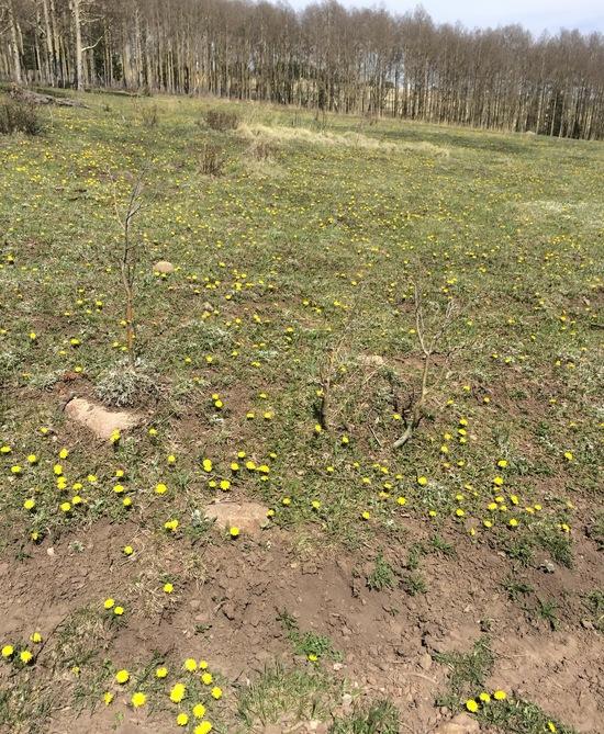
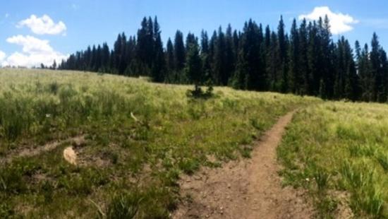
After 2 fires last year in the Pecos wilderness right outside Santa Fe, N.M. I was curious how hiking was affected. I also had some new photo tools but not really working for this TR, so I will just concentrate on what's going on up there (to paraphrase an old punk song: this is a public service announcement with cameras … )
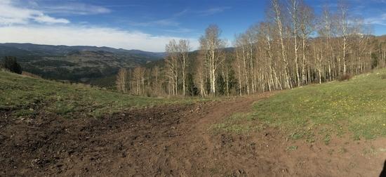
When started the area around the trailhead seems to have had a lot of trees just downed but gaining the top, it is looking really nice since there's been no grazing.
Parts of my panorama going up and over Beatty's ..
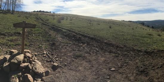
… and from the same spot towards Iron Gate and Meadows ..
North towards Pecos Baldy (you can see the dark area facing south – this is the eastern part limit of the burn area)
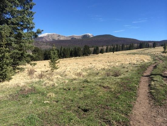
I surprised some deer and then some elk as I climbed some hills but my camera-fu was too slow fumbling out of my pocket to capture (boo-hiss). May need to set my camera up on stand-by plus crest hills more slowly to get these shots. Oh well.
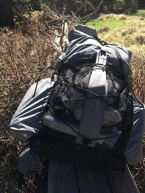
Zimmerbuilt Z30 summer edition resting on log
Jacks Creek itself was flowing spectacularly but the burn area started soon after ..
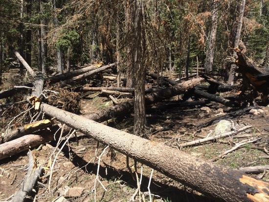
Tril obliterated for a little while …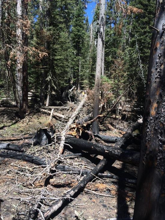
I saw evidence of a trail crew but their saw must have broken before this burnt section. A little frustrating but doable … 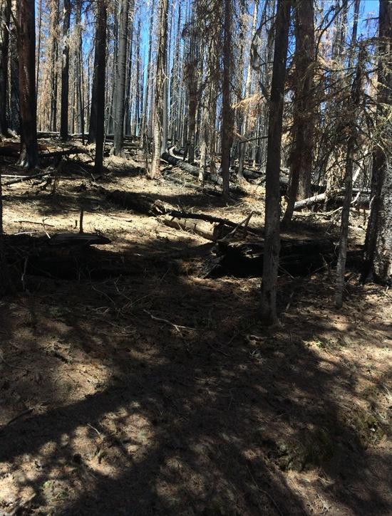
After this patch of snow, the real snow started getting thick (a few wks back)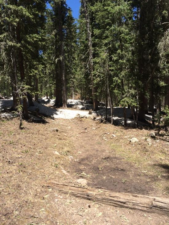
Coming out, I met hikers rerouted from other parts telling me the burn is far worse towards the west. Seems thru-hiking the entire Skyline trail will be impossible until much more trail work is done after the fire.
Till then "in and outs" and some 3-day hiking adventures using Jack's, the Santa Barbara divide, the northern TH's, and Iron Gate are possible — plus any sort of base camping in those bounds.