Topic

Lost Creek Wilderness 5/6-8/2014

  • This topic is empty.
Viewing 14 posts - 1 through 14 (of 14 total)
PostedMay 10, 2014 at 8:01 am

This was my first solo trip and visit to LCW. I did the counter clockwise loop beginning at Goose Creek TH. Trails: Goose Creek -> McCurdy -> Brookside -> Hankins Pass. Not sure of the exact mileage but I think it was approximately 27 miles over the 3 days.
1
As you can see, the weather was nice.
2
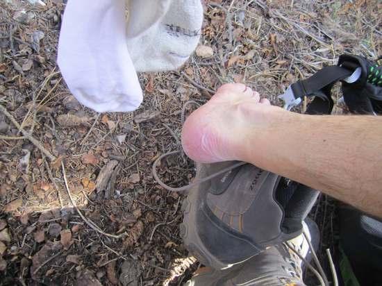
Though my new Osprey Exos 58 pack felt great, my boots were another story. I did wear them around the house a bit and did a local 5 mile hike thinking they were broken in. Guess not. I even had my normal socks with silk liners. Nothing a little moleskin and duct tape couldn't fix.
3
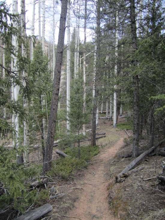
Aspen's still have no leaves at this time.
4
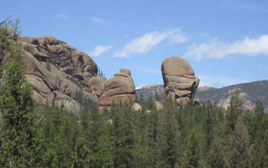
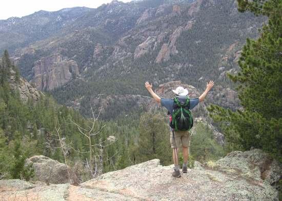
While talking to myself out loud on the trail, I also pretended to be the dictator of the canyons. I had many followers.
5
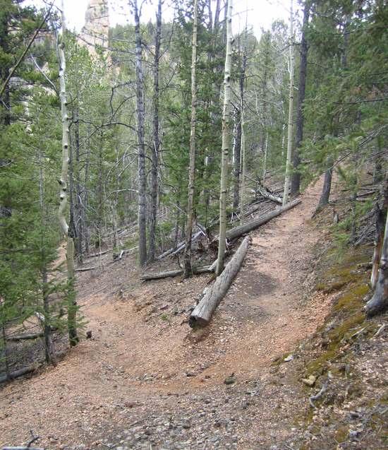
I took this shot for my kids. We have a song we sing on the trail, "Switch-back single track. Sweet. Sweet."
6
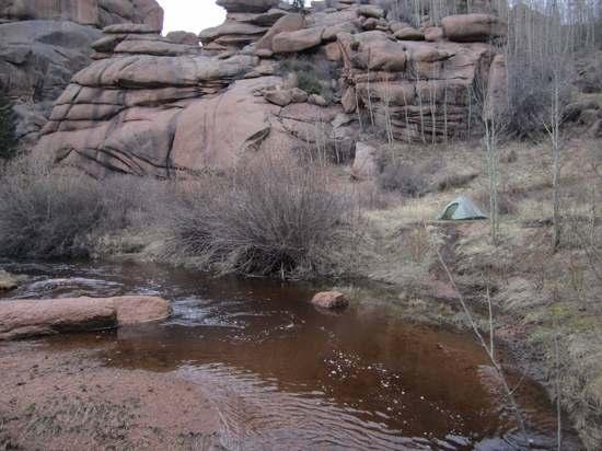
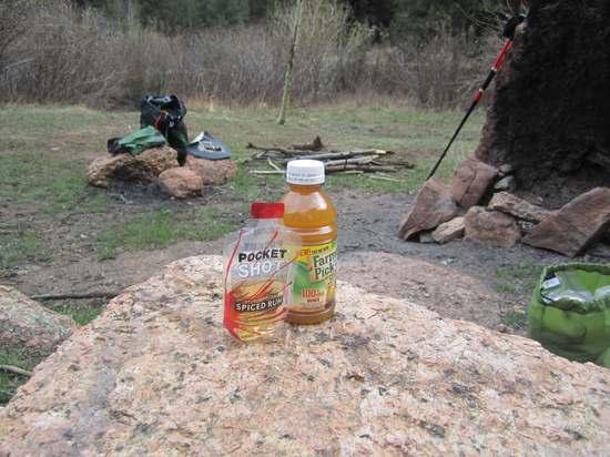
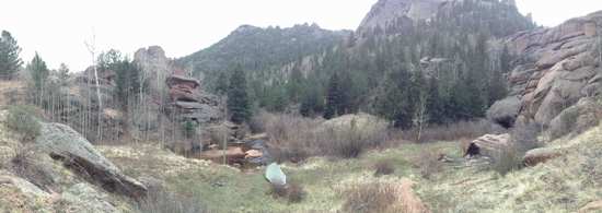
I arrive at a nice spot to set up camp. Before I unpack, I enjoy a beverage to celebrate the day. The juice was completely frozen before leaving 8 hrs ago and it was now a perfect slushy.
7
Not a bad spot, eh?
8
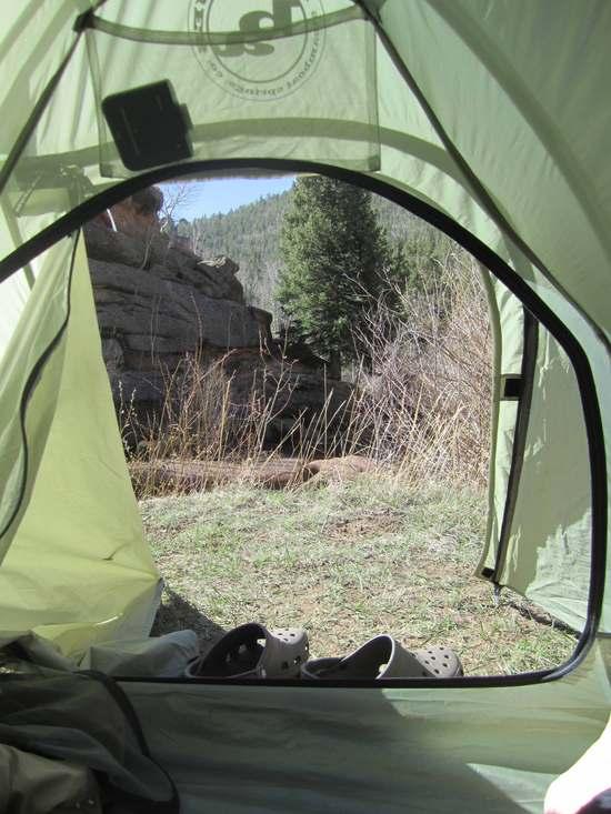
Another view. Thanks for the tent, Gary!
9
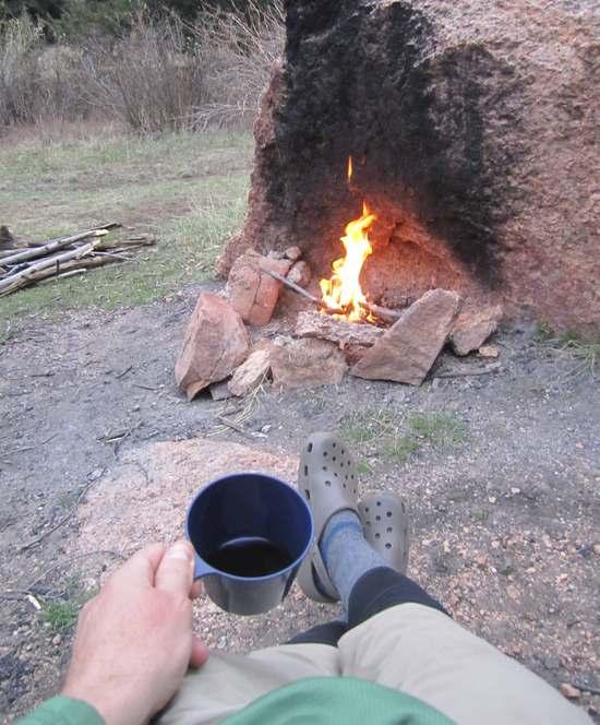
"Ahhh, this is the life." After dinner I enjoy a cup of vino and watch the fire do its thang.
10
Another day with some great weather for waking up to.
11
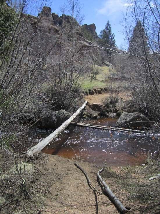
I have always been timid about crossing streams on skinny logs. The last thing I want to do is fall in and soak my pack. I discovered using downed trees as a third leg (like rowing a boat)to prevent falling in. I am sure this is standard for others but new to me and I felt as though I just invented it.
12
I had to do a selfie with the canyon below.
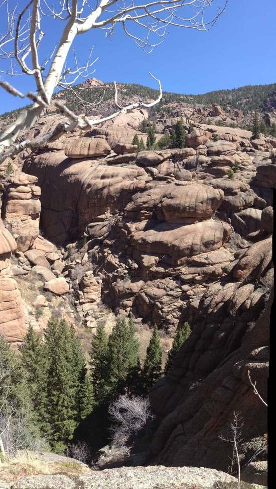
12b
It was a long way down as I was looking on top of the tall trees.
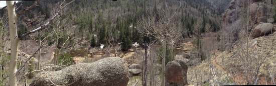
13
After continuing in the wrong direction for about a mile and scrambling up a boulder filled, bush-wacking canyon, I lose an hour but finally make it back on trail. I end up here (above). This is where the big climb out of McCurdy begins.
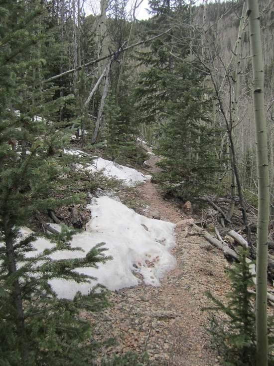
14
I really liked this section. It was steep and full of switchbacks. Just a few patches of snow…..at this time.
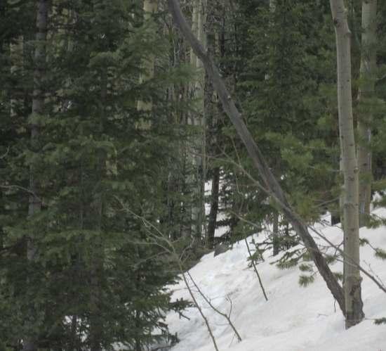
15
UGH!!! Closer to the top there were huge thigh-deep snowdrifts that I had to chug through for about a mile and a half. I need gaitors!!!!! Post holing sucks!
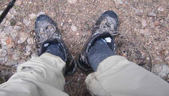
16
My feet were drenched but I was not cold at all. I'll just change my socks.
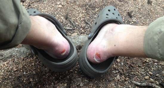
17
Ut-ohhhhhh. This is not good. Though, it shouldn't be a problem, I only have another 10-14 miles to go :/
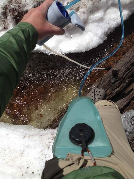
18
I discovered a convenient way to filter water directly into my bladder. I connect it onto my pant's belt loop and then pump away.
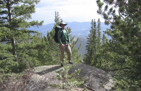
19
This is where the big descend down the Brookside trail begins. I will connect with the Hayman Pass trail and find a spot to camp for the night back up top.
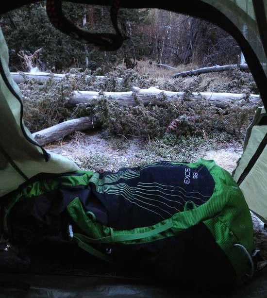
20
I awoke early in the morning to a slight dusting of snow.
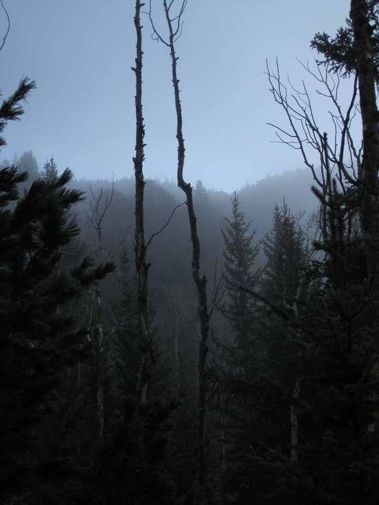
21
This shot was taken just before the sun popped up over the trees.
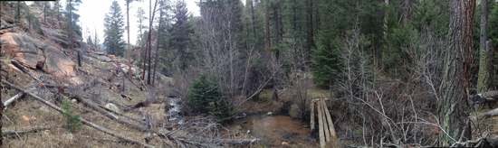
22
The easy 3-4 mile trek back down to the trailhead was filled with killer stream crossings and green meadows.

Here are a couple bonus shots I took while playing around with the image effects on my camera:
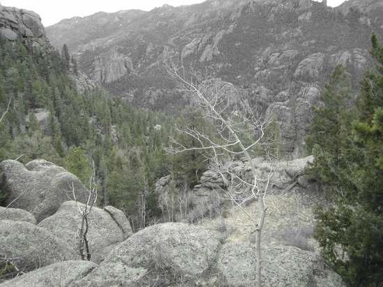
e1

e2
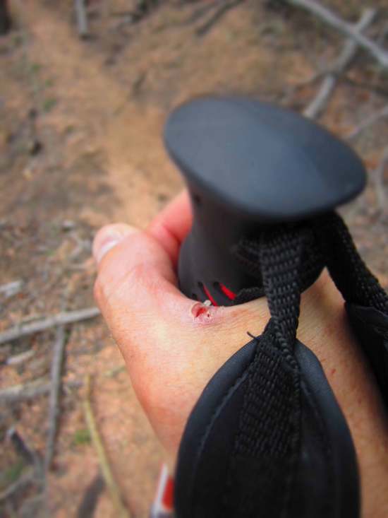
This hand blister was actually from doing yard work the weekend before the trip. I just think it captures the mood from long hours on the trail.


Tim Drescher BPL Member
PostedMay 10, 2014 at 8:18 am

Sick blisters bro! Looks like your timing was right. Lost Creek could see around 6 inches of new snow and not even touch the 30's for a few days. I love all the moisture, but enough already!

Gary Dunckel BPL Member
PostedMay 10, 2014 at 8:40 am

Superb, Gordon! Congratulations on a successful completion of your virgin solo hike. It looks like you did it in style. Thanks for the photos–they tell the story of the conditions, and also of your camp setup (love the blister shots). Your timing for this trip was perfect, as we'll get hit with a (significant?) spring storm tomorrow.

But yeah, enough of all this moisture. I've been on sump pump alert for the last few days, since the irrigation ditch above and behind me has been running full. The soil, saturated since October, just can't absorb that added water fast enough. I'll do my drought dance now…

Luke Schmidt BPL Member
PostedMay 10, 2014 at 9:05 am

I love Lost Creek. When its a bit warmer try the other loop over McCurdy Mountain starting from Lost Park. It has about 4-5 miles above treeline with nice views of Pike's Peak and South Park. Probably a good thing you didn't try it this time though, probably way more snow.

Randy Nelson BPL Member
PostedMay 10, 2014 at 10:17 am

Glad you had fun Gordon. (Except for those blisters, ouch!) Did you see many, if any, other hikers/backpackers? I wouldn't expect so once you got past the Shaft House area this early in the season. In the past there's been 3 downed trees on that crossing not just one. I stopped one time to visit with a couple of guys camped just before that crossing and then headed out to go up the big climb. Splash! The guys came running around to see if I was OK but my dog had fallen in, not me. Pretty funny. My female is like a cat and will always choose to follow me across downed trees instead of wading through unless I make her. She wasn't so cat like that time.

Too bad about the post holing. It's always nice when someone has gone through before you and you can follow in their foot steps. Or their post holes in this case.

PostedMay 10, 2014 at 1:45 pm

"While talking to myself out loud on the trail, I also pretended to be the dictator of the canyons. I had many followers."
Gordon, I love this!
I've read a lot of trip reports on this area, and now I really have to go……soon :-).
Thanks!

PostedMay 12, 2014 at 6:52 pm

My hiking partner and I were heading back to LCW on the 17th (from STL) after our semi-aborted trip in the Fall….with perhaps a trip up Bierstadt, as well. This latest storm may put a damper on that, I'm thinking.

Any locals have any further insight into conditions in LCW after the last couple days???

TIA
-Mark in St. Louis

Randy Martin BPL Member
PostedMay 12, 2014 at 8:13 pm

I live at 6500ft in Castle Rock (a bit east of LCW). We received about 10" of heavy wet snow. I suspect LCW received 12" at least. The warm up is going to be a bit slow this week and so I would expect to see a fair amount of snow in spots if you go but I don't think it should be anything to cause you to abort the trip.

PostedMay 12, 2014 at 9:48 pm

Thanx Randy…

Last time we were there the snow wasn't bad until we got above 10k…but…the overnight temp (only ended up one day because my hiking buddy got ill) was -7deg!

We'll keep an eye out on the weather the rest of the week and probably decide at the last minute before we leave…I think we'll be bringing the snowshoes and "winter" bags along, regardless.

TA
-Mark

Randy Nelson BPL Member
PostedMay 13, 2014 at 5:46 pm

Can you postpone it a week or two? We live near LCW and got 12". Some areas around here got up to 2'. And it's not melting fast due to continued cool temps. I'd wait if you could. You'll definitely need those snowshoes if you're going up Bierstadt any time soon!

Randy Martin BPL Member
PostedMay 13, 2014 at 6:06 pm

I didn't really address Bierstadt in my response but I will say that I would NEVER do Bierstadt in May. I made that mistake once and will never do that again. The problem is the main route goes over willows and so the snow weakness will be profound in the afternoon coming back across. It was a complete nightmare of postholing (even in Snowshoes). If I did it I would make sure the morning forecast lows were for a hard freeze and I would start before sunrise to ensure I was back down and across to the TH by 10am.

PostedMay 13, 2014 at 8:23 pm

Thanks for the follow-ups guys.

Any 14ers you guys "like" in the winter/early spring???

We did Quandary in early December…FWIW.

We were looking at La Plata and Missouri/Oxford/Belford, before this last storm hit.

-Mark

Randy Martin BPL Member
PostedMay 13, 2014 at 9:58 pm

Some better options for spring 14ers that minimize post-holing would be just south of Quandary, i.e., Sherman, Democrat, Lincoln and Bross. The trails go up relatively quick and are more wind blown. Another decent option though more dependent on specific conditions is Mt. Elbert.

I would encourage you to spend some time on 14ers.com. Great site for 14er planning and loaded with good timely feedback on current conditions.

PostedMay 14, 2014 at 6:44 am

Hey Randy…We went up Massive/French/Frasco/Casco/Bull Hill/Elbert last year and would like to try something new.

I've been poking around 14ers quite a bit…including the "winter list" they made…I will look at the Sherman, et al option a little closer.

Thanx,
-Mark

Viewing 14 posts - 1 through 14 (of 14 total)
Loading...