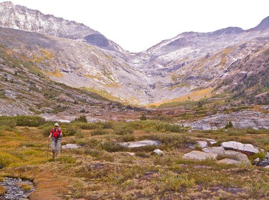
The Midway Traverse: a Walk in the SEKI
Never quite ever getting enough time in the SEKI (Sequoia/Kings Canyon National Park), we (Amy and James) decided to take a long Labor Day holiday and spend six days out walking. Looking through the maps identified a few pieces of trail we had not yet traveled, some SPS peaks we had not yet climbed, and a nice stretch of untrailed glacial canyon not yet explored. Our route is mapped in CalTopo. Highlights included a descent of Cloud Canyon, which is bracketed by the massive granite walls of Glacier Ridge and Whaleback, a west to east traverse over the summit of Midway Mountain, and following the High Sierra Trail (HST) east to west from its junction with the JMT at Wallace Creek back to its origin at Crescent Meadow. James also climbed Lion Rock and Mt. Kaweah.
Some notes that may interest the community:
- The HST and its JMT extension from Wallace Creek to Whitney is a surprisingly fine piece of trail engineering and a very fine walk. Those who would like to do an on-trail Sierra hike less time consuming than the JMT might consider this as a good option. It was designed in the 1920s as a hiking route to cross from the west side to the highest point (Whitney) with as little altitude change as possible. As such, it contours the mountainsides for miles staying relatively level.
- Annoying insects are now completely gone in this section of the Sierra. This is expected for late August in any year, especially a summer following a low snowpack spring.
- Unfortunately, so are most of the flowers.
- Some of the willows are just starting to turn yellow.
- The HST travels through the very recent Chagoopa Fire zone (still smoldering when we were there), which is interesting to see; birds were actively foraging on the burned vegetation like nothing had happened.
- We had decidedly unsettled weather: we missed the incredible clear blue Sierra skies, but the swirling clouds produce some extremely dramatic scenes and superb sunsets.
- Most people still carry TMS (Too Much Stuff), suffer under their loads, and may unfortunately get turned off to backpacking because they haven’t or won’t learn to do differently (one example: carrying a set of heavy Teva sandals, each shoe attached to the person’s pack with its own full sized climbing carabiner).
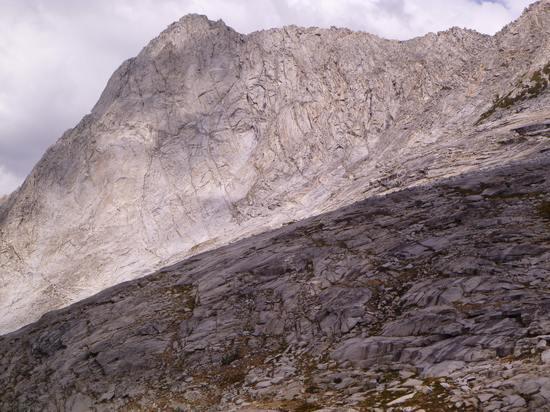
The great west face of Whaleback as seen from Cloud Canyon. There is a route called “The Blow Hole”, which is purportedly 2nd class, up this face to the summit.

Just below the summit of Midway Mountain.

The summit of Milestone (13,641′) as seen from the summit of Midway (13,666′).

Near our campsite on night 3 in the upper Kern Basin.
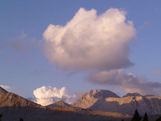
Looking north from the campsite.
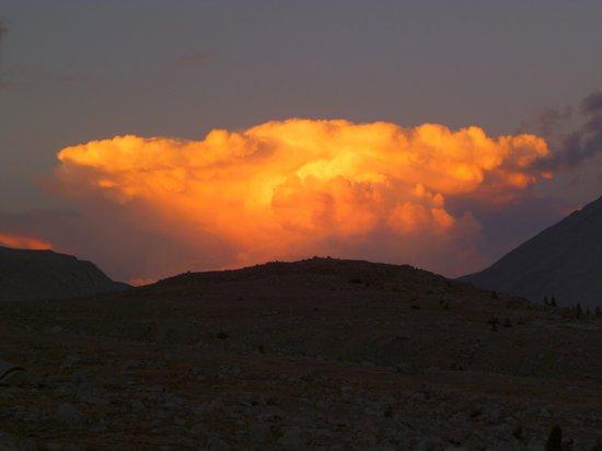
Storm clouds over the Owens Valley. Looking east past Shepherd Pass.
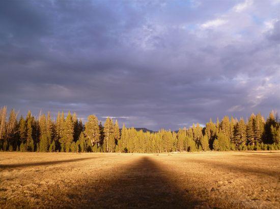
Evening light near our campsite at Sky Parlor Meadow on night 4.

Found on a trail on the Chagoopa Plateau: one of the ten essentials.
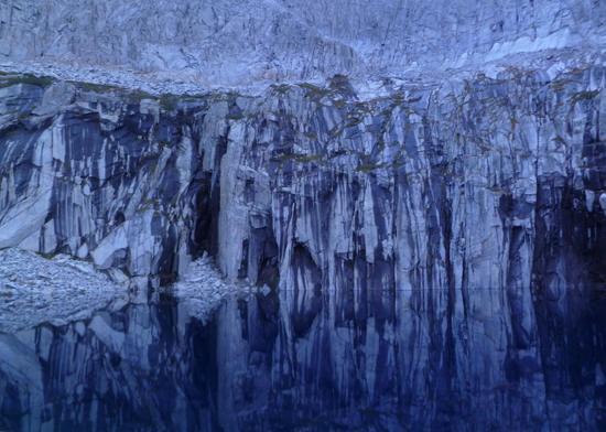
Precipice Lake, which is just west of Kaweah Gap. Here in 1932, Ansel Adams made one of his greatest photographs: “Frozen Lake and Cliffs“.
Our Smugmug album for this trip is not ready yet, but someday we’ll have a full show available.