In the next month I’d like to update the iPhone for Backpacking article. If you use an iPhone while backpacking, I’d like your contributions. If you haven’t read the article, and you use an iPhone while on the trail, please read the article first :) [Also note that the article comes up as the second and third hit if you google iphone backpacking. I’m trying to continue to provide a useful service to backpackers and keep it up to date.]
Battery Drain
I am in the process of clarifying the differences between iPhone 4 and iPhone 5 (ATT models) with respect to battery drain. The differences between iPhone 4 and 5 are ENORMOUS and all iPhone users need to be aware of them. If you are geeky and inclined to try to help, please read my geek thread on the topic.
Once I’ve finished the research, I’ll update the main article and try to disseminate the information. In the meantime, here is a summary of what I believe to be true about the iPhone 5:
SIM Locked. When there is no ATT signal, the SIM is locked, and Airplane mode is OFF, the iPhone 5 battery drain is 10% per hour. Egregious, unbelievable, horrible, terrible. In iPhone-4 locking the SIM was the best solution for backpacking (1-2% drain per day). In iPhone-5 it is completely unusable. This drain is so bad that the SIM Lock feature is unusable even for the average non-hiking user if they are out of cell signal range.
SIM Removed. When there is no ATT signal, the SIM is removed, and Airplane mode is OFF, the iPhone-5 battery drain is ~8% per hour. Not quite as bad as the SIM-Locked state, but completely unusable. In iPhone-4, removing the SIM worked as well as locking the SIM.
SIM Unlocked. The drain depends on various factors:
- Airplane Mode = OFF and ATT signal present: ~8% drain per day
- Airplane Mode = OFF and ATT signal absent (this is the normal state for backcountry hiking): ~22% drain per day (compared to 1-2% per day for iPhone 4)
- Airplane Mode = ON and ATT signal present: ~4% drain per day
- Airplane Mode = ON and ATT signal absent: ~4% drain per day
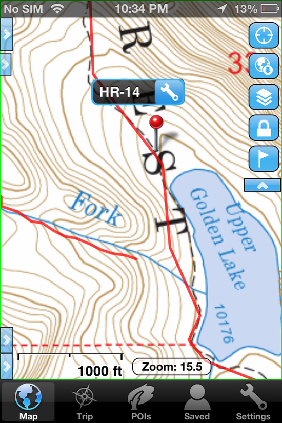
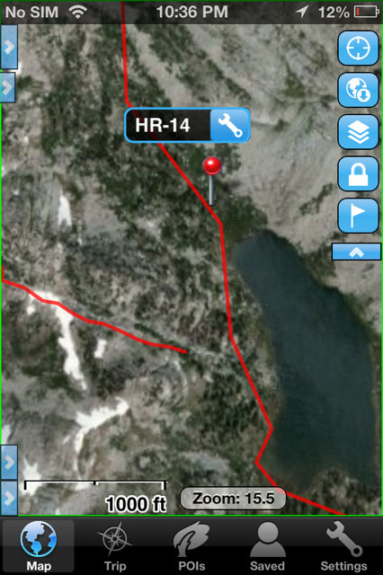
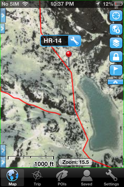
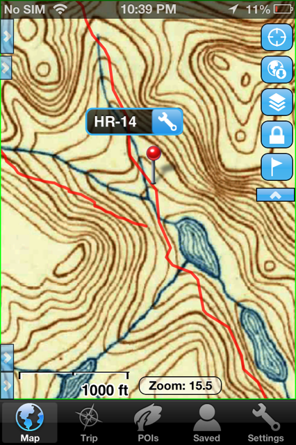
iPhone Apps for Mapping
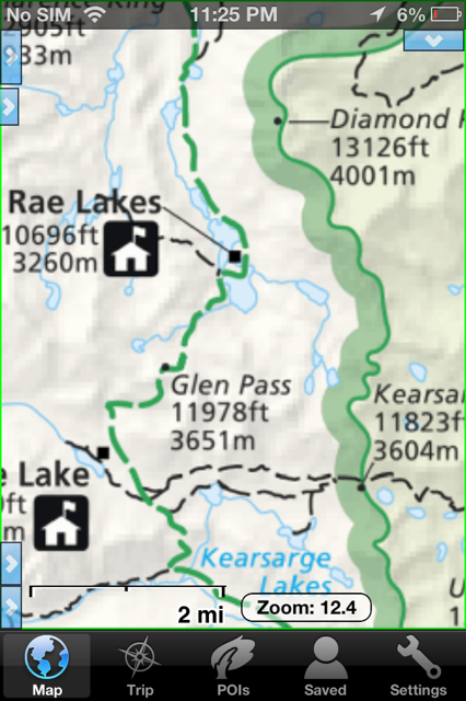
Since I first wrote the article two years ago, Gaia GPS has emerged as the leading solution for iPhone map apps for hikers, at least for the US and Canada. I use Maplets and Gaia GPS now almost exclusively in the US. I have, however, not gone back and reevaluated the dozens/hundreds of other mapping apps that are out there, so it’s possible I’m missing a new app or an app that has had significant improvement since I studied them in 2011.
I could use your help here: Do you know of a map app that, at least for some particular function, is significantly better than Gaia GPS? If you have suggestions please try to be specific about why some other app is better than Gaia GPS as a primary tool, or why it’s a good secondary tool to use in conjuction with Gaia. Here are some examples:
- I still use Topo Maps for three specific tasks: searching for a geographical feature and showing it on the map; the distance tool; and the “what can I see from here” feature. However, the ability to import and export tracks and waypoints and the ability to switch between different map types makes Topo Maps a poor choice for a primary mapping app.
- In Scotland this past spring we used ViewRanger. Gaia does not offer the OS maps, which are essential for hikes in the UK. ViewRanger worked very well for us, and I was pleased with it. However, it does not offer satellite imagery, and switching between one map type and another map type (e.g. OS to OpenCycleMap) is too complicated. I would not consider using it for US/Canada trips, but it is a fine choice for UK trips (in conjuction with Gaia for Satellite imagery and OpenCycleMaps)
- I use National Park Maps HD (from National Geographic) when hiking in one of the parks it includes, because the clarity of trials in their Trails Illustrated Maps is excellent. Again, I still use Gaia GPS as my primary tool, because of robust import/export of tracks and waypoints and because Gaia gives me access to a bigger range of map types.
- Maplets is a brilliant app for maps published by park agencies such as state and county parks. If there is a park map available, I always take that map in Maplets, in addition to using Gaia.
Additional Apps for Backpacking
I’d like to add a section to the article that lists useful non-map apps for backpackers. I’m all ears here, so please chime in with additions, or replacements if you’ve got an app that does the same job but better. Here’s my list:
- Wiki Offline — A Wikipedia Experience: The entire text of the wiki database, avaliable offline :) No tables or images though, that would make it too big to fit.
- Autostitch Panorama: Easily build panoramic images. The app saves all the components of the image, so you can edit and restitch when you are home. In the field, you can set the app to not do any stitching (to save battery) and then at home you can stitch at the highest quality and resolution. Pano is a simpler app, but the end result is not as good.
- Photosynth: to build spherical panoramas.
- Snapseed: for post processing of photographs.
- HalfMile PCT: Freakin Brilliant. If you’re thinking about hiking any section of the Pacific Crest Trail (including the JMT), take a look at this (free) app. It’s my new gold standard for an app design that does exactly one thing and does it so perfectly that it makes my heart skip a beat.
- PCTHYOH: Like HalfMmile’s app, this one is only relevant to Pacific Crest Trail, but it is a must-have resource if you’re hiking any section of that trail.
- Shralp Tide and Shralp Tide 2: Only useful if you’re on a coastal hike. There are many tide apps out there, I’ve been happy with these so I haven’t looked at others.
- Sol: Sun Clock – Your daylight tool…: Based on date and location, it lists astronomical, nautical, civil twighlight in addition to sunrise and sunset. And lets me set an alarm based on those events. So I can set an alarm for 15 minutes before civil twilight and not have to adjust the alarm as the season changes.
- Storyboarder Postcard Collage: makes it easy to send postcards to my dad while I’m out travelling. (Requires data connection, so not for backcountry use.)
- RiverGuide for Kayakers: Stream flow data for the US. Is there a better option or is this the best app for viewing the real time streamflows? (Requires data connection, so not for backcountry use.)
- The Sibley eGuide to the Birds of North America: IMO The best of many north american bird apps, although other people have found iBird to suit them better.
- StarMap: guide to stars.
- Skitch: I use it in the field to markup photos in case I want to make notes about something.
- Evernote (with subscription): Syncs notes across all desktop and portable devices.(/li)
- Dropbox: Can’t live without it, in the backcountry and at home. Syncs files between my devices, and save those files for offline use. For example, I store my gpx files in dropbox so I can import them into Gaia while I’m away from home. I also use it to store my trip reference documents, and my 1Password file. Jim and I can share folders so we can both add things that we want to sync to the phone to have while on our hike.
- 1Password: Why did it take me so long to start using a real password storage solution? If you’re still struggling to keep track of passwords, then bite the bullet and start using 1Password! This isn’t really about backpacking, but if you’re away from home and you lose your wallet it’s very helpful to have all your account information accessible (I learned the hard way).
- US Fires: for getting information about current US wildfires. This one is useful, is there a better solution out there? (Requires data connection, so not for backcountry use.)
- Pocket (Formerly Read It Later): Save web pages for offline reading. Syncs across devices, so at my desktop computer I can save reference material that I want to have on the trail, sync to my iPhone, and then I have offline access to those web pages.
- Kindle: For viewing reference material, particularly pdf files, and for reading books.
- Voice Memo (the native iPhone app: for creating audio journals.
- Swift Player: to listen to audiobooks.
- Guitar! by Smule: for playing around with chord progressions and singing to myself at night!
- Geocaching: the hobby is a great way to add another layer of fun to getting outdoors.
Thanks a TON to everybody for your help!
AmyL, Palo Alto
P.S. Please limit comments on this thread to helpful things for others who have already chosen to use an iPhone while backpacking. There are already other threads about Android apps, about why one shouldn’t use electronics while hiking, about the purity of paper maps, about the advantages of a Garmin or an Android over an iPhone, and skeptical questions about whether iPhone GPS really works when out of cell signal range.
P.P.S. I’m not planning to tackle recharge solutions, so if you’ve got passion about solar panels and backup battery chargers, please do those in a different thread too (I’m interested in the topic, but don’t have the bandwidth to tackle it for the main article).
P.P.P.S: updated content of this post 2100 PDT Aug 19 with additions of Photosyntgh, StarMap, Voice Memo, AutoStitch Panorama, Guitar! by Smule, Snapseed. Thanks to sdparks, AttaboyBrad, and oiboyroi for the suggestions.