It had been almost exactly a year since my last solo adventure to the mountains. There are so many good friends around nowadays to go backpacking with that it was hard to find the time to go out by myself. But solo trips bring a special kind of adventure: complete immersion, uncommon clarity, and a sense of total self-reliance. With my schedule for the summer filling up fast, I took my last free weekend, loaded up my backpack, and headed east for Courtright Reservoir and the LeConte Divide.
This is a fairly long trip report because I have a lot to say this time, so heat up a mug of coffee, relax, and enjoy.
Hillmap route (ignore the white waypoints, they were for planning purposes). Total mileage: about 45 miles (15/22/8 per day.) 4k vertical climb the first day, 3k vertical climb the second day.
PART I – HELL FOR SURE
Situated far to the west of the main Sierra Crest, the LeConte Divide nonetheless features an array of rugged peaks over 12,000 feet and due to its location it is surprisingly remote. When you look at a map of the entire range of the Sierra Nevada and contemplate what might be the most remote location, the eye wanders to Goddard Canyon, the Ionian Basin and the Enchanted Gorge. The LeConte Divide forms the western boundary of that Bermuda Triangle of the Sierra, and perhaps at the center of it all is Martha Lake and Mount Goddard.
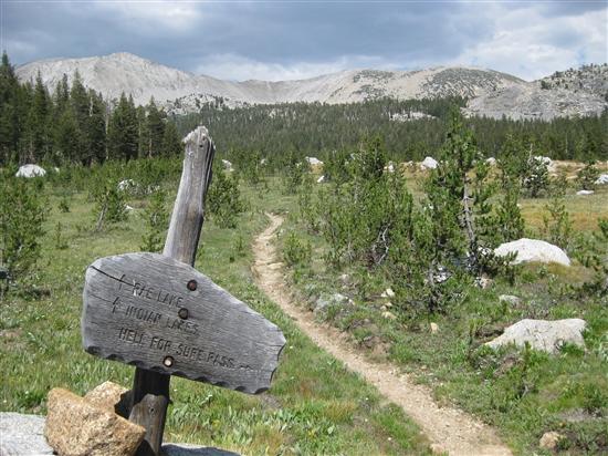
It was my intention to do an aesthetic traverse of that western boundary: climb up the western slope of the Sierra to Red Mountain Basin, where I would cross the Divide via Hell-for-Sure Pass into Goddard Canyon. Then follow that canyon to its headwaters at Martha Lake, and pass back over the Divide into Blackcap Basin via Valor Pass and return via the North Fork of the Kings River. As you can tell already, one thing the LeConte Divide region has in abundance is interesting place names: Devil’s Punchbowl, Hell-for-Sure Lake and Pass, Disappointment Lake, Gunsight Pass, Ambition Lake, Valor Lake, the list goes on.
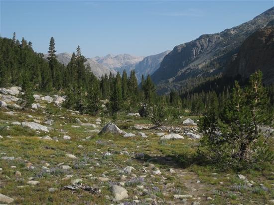
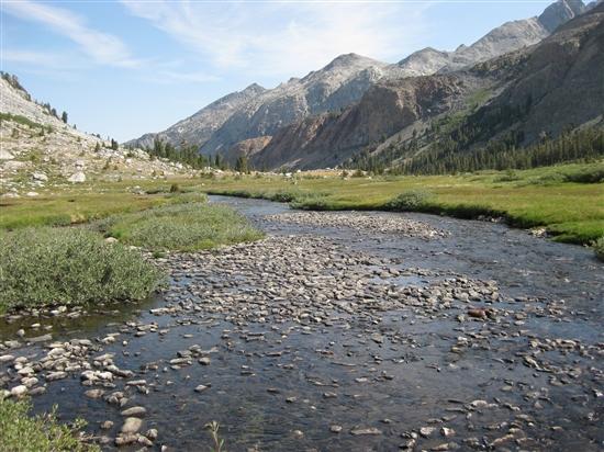
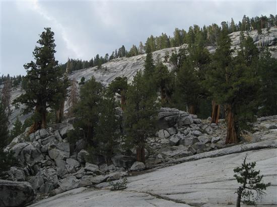
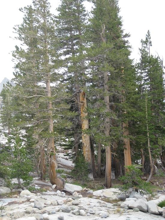
As with most hikes starting on the western slope, the majority of my first day was spent hiking through pleasant forests and flower-studded meadows, slowly gaining elevation and advancing towards treeline. The area east of Courtright Reservoir is known as Woodchuck Country, though for the life of me I have no idea why, as the closest thing to a woodchuck you’ll find is a marmot at least ten miles to the east. After a few miles I passed the boundary marking the John Muir Wilderness.


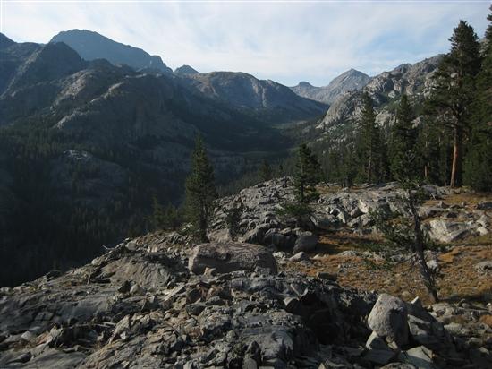
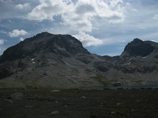
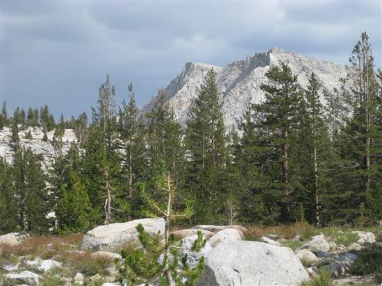
After a steady climb, I made my way into Red Mountain Basin. Nearing timberline, the trees receded and the mountains began to reveal themselves.
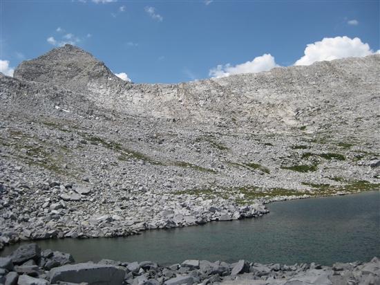
I hiked gentle granite slabs over a small rise, and suddenly in front of me was perhaps what is the most poorly named lake in the entire Sierra Nevada: Disappointment Lake. I can only imagine that it was named remotely by some poor employee of the California Geological Survey cooped up behind a desk pushing paper somewhere in Sacramento, or perhaps by an early explorer destined for Hell-for-Sure Pass who was having a particularly bad expedition. But the name could not be further from the truth. In front of me was a deep blue lake, ringed by granite slabs and a sandy beach lined with vibrant grass that would be right at home on a putting green. Towards the inlet, a cascading creek tumbled down a granite staircase until it cut a deep winding channel through the grass pouring into the lake. Towards the outlet, the granite ridge containing the water narrowed until it was only a foot or so above lake level, forming an infinity pool with an unobstructed view to the horizon.
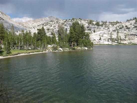
Disappointment Lake.
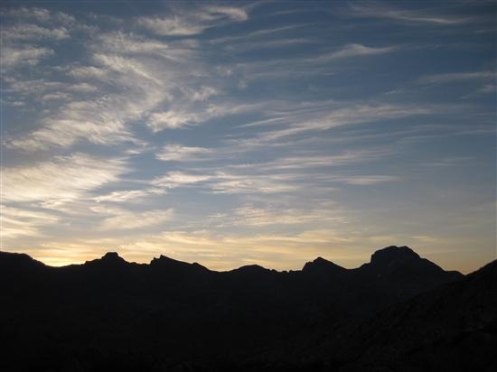
Though I had plans for another six or seven miles that day, I was so thoroughly entranced that I walked the full perimeter of the lake. I found a thick Sierra Juniper, perhaps six feet in diameter, that had suffered some unknown trauma many years ago from snow or wind or lightning. It had a 45 degree bend in its trunk at about head level, and its thick trunk and canopy formed a nearly impenetrable ceiling over a soft floor of pine duff. With gathering thunderheads, I was extremely tempted to call it a day here and camp under the ready-made shelter. But it was only four o’clock, and the lack of any fish in the lake provided enough of a reason to keep on ambling towards Hell-for-Sure Pass.

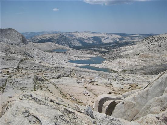
First view of Hell-for-Sure Pass. Doesn’t look so bad.
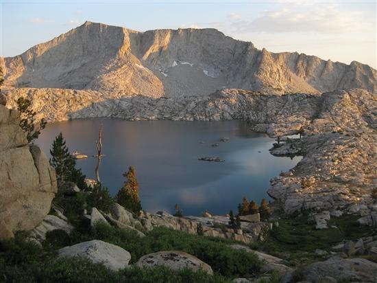
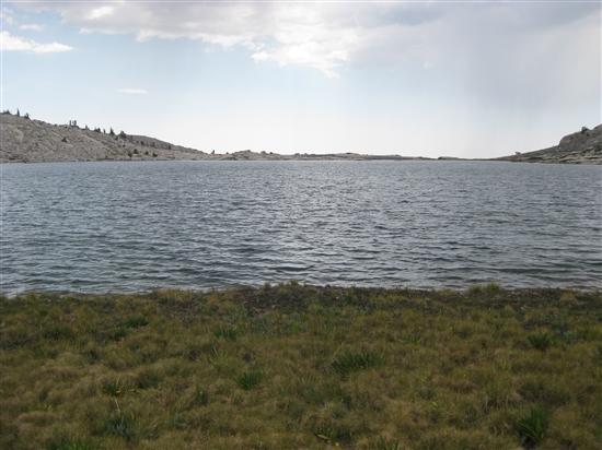
Hell-for-Sure Lake.
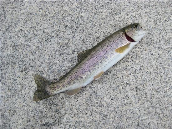
Along the way I passed Hell-for-Sure Lake, which lacked the friendly trees but made up for it with a healthy fish population. I caught a brook trout on every cast, and I quickly had four fat ones about 8″ long that I made into a nice trout soup with some lemon pepper. The sunset caught up with me partway up the switchbacks to the pass, and I threw down my bivy in a sheltered spot between a short cliff and a grizzled clump of whitebark pines.