Topic
Pyrenean Traverse — Logistics
Forum Posting
A Membership is required to post in the forums. Login or become a member to post in the member forums!
Home › Forums › Campfire › Trip Planning › Pyrenean Traverse — Logistics
- This topic is empty.
-
AuthorPosts
-
Jun 20, 2013 at 4:18 pm #1998505
Oh well, it shows the snows are starting to melt but it could make getting to Gavarnie next week a problem as the bus goes through Lourdes – it is the obvious point to transfer from the train. As for Lourdes, the has church turned it into a very sad and sick version of Disneyland – perhaps a cleansing biblical flood.
Jun 26, 2013 at 9:15 pm #2000147Mark, you will be fine! You will find a way to the trailhead! I look forward to your reports…on the snow and other matters. Will you be updating a blog or forum as you go? Not that one necessarily should!
Have a safe and wonderful adventure!
And thank you for all the insight on the Pyrenees, navigation and so on.
Sep 1, 2013 at 6:27 pm #2020789Just a comment on the this free electronic map for the pyrennees that I mentioned in an earlier post in this thread.
http://topopirineos.blogspot.fr/2012/08/descargas-de-la-version-61.html
I used the map on my eTrex 30 while walking Joosten's section 5 from Banyuls to l'Hospitalet in July. The accuracy was very good and it sorted out several navigational issues for me. It is missing some trails and is not up to date on some of the recent rerouting of the GR10 – eg. to the west of Le Perthus. It is a resource I will happily rely on next time I am in the Pyrennees.
Sep 2, 2013 at 5:12 am #2020878I also used the above map whilst walking in the Ordessa National Park this summer. It is vastly improved over an earlier version from a few years back. However I noticed the opposite issue from that which Mark noted – there are a few paths shown on the map which have no visible presence on the ground – no cairns, no paint, no impression in the ground. I expect a path on a map to represent a visible path on the ground and not be just a potential route. Despite this it is a very useful map given that it covers the whole of the Pyrenees on both sides of the border with no breaks or joins.
Sep 2, 2013 at 5:49 am #2020883In Spain we use several free maps .. maybe the most popular is Topohispania By Sinrenkor
download here
http://www.elgps.com/foroGPS/viewtopic.php?f=41&t=8646
Free and better than garmin maps
http://www.elgps.com_TOPOHISPANIA_Garmin_2.04.part1
http://www.elgps.com_TOPOHISPANIA_Garmin_2.04.part2
http://www.elgps.com_TOPOHISPANIA_Garmin_2.04.part3
http://www.elgps.com_TOPOHISPANIA_Garmin_2.04.part4
http://www.elgps.com_TOPOHISPANIA_Garmin_2.04.part5
http://www.elgps.com_TOPOHISPANIA_Garmin_2.04.part6
http://www.elgps.com_TOPOHISPANIA_Garmin_2.04.part7 -
AuthorPosts
- You must be logged in to reply to this topic.
Forum Posting
A Membership is required to post in the forums. Login or become a member to post in the member forums!
LAST CALL (Sale Ends Feb 24) - Hyperlite Mountain Gear's Biggest Sale of the Year.
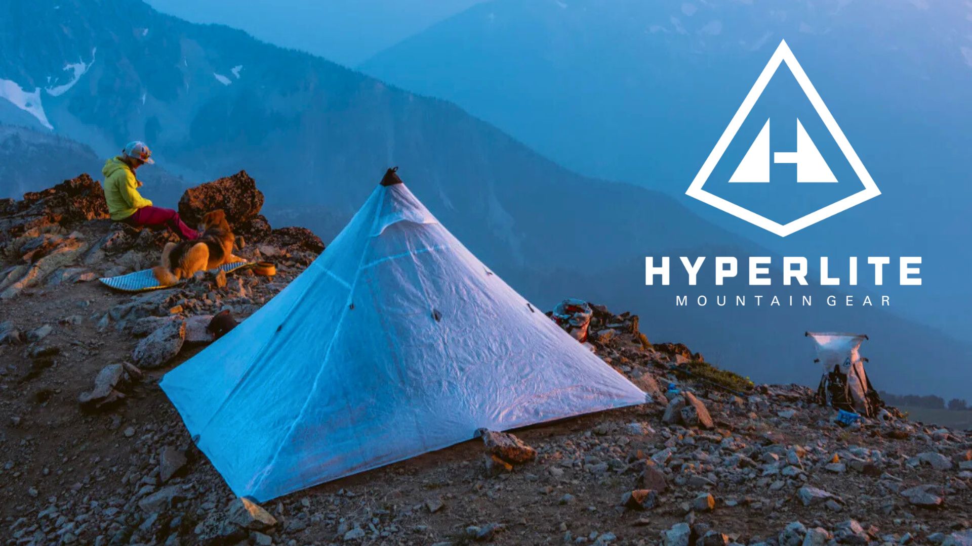
All DCF shelters, packs, premium quilts, and accessories are on sale.
Our Community Posts are Moderated
Backpacking Light community posts are moderated and here to foster helpful and positive discussions about lightweight backpacking. Please be mindful of our values and boundaries and review our Community Guidelines prior to posting.
Get the Newsletter
Gear Research & Discovery Tools
- Browse our curated Gear Shop
- See the latest Gear Deals and Sales
- Our Recommendations
- Search for Gear on Sale with the Gear Finder
- Used Gear Swap
- Member Gear Reviews and BPL Gear Review Articles
- Browse by Gear Type or Brand.