Topic

ansel adams wilderness ino yosemite loop

  • This topic is empty.
Viewing 5 posts - 1 through 5 (of 5 total)
PostedSep 24, 2012 at 10:47 am

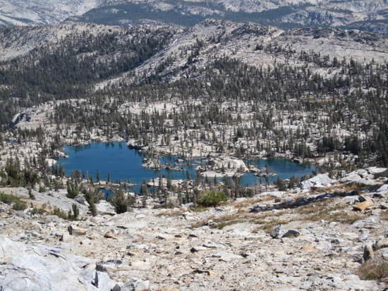
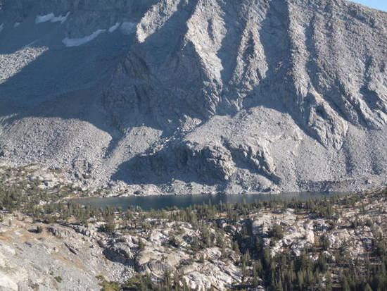
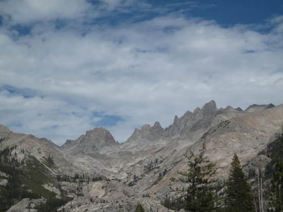
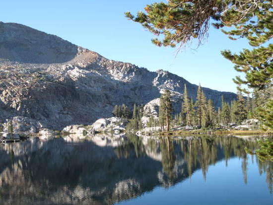
sept. 14-20 food water fuel total weight 23lbs. solo trip. I went up Beasore road starting at bass lake to clover meadows ranger station to pick up my wilderness permit friday moring and was on the trail by 12 in the afternoon. I'd been planing this trip for over a month and was really looking forward to it. the firt day brought me to a 1/2 mile short of rutherford lake.Breeze lake from the pass
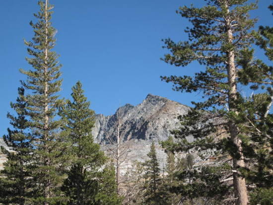
The end of the second day brought me to lower Ottoway lake below Merced peakI think this is one of the nicest lakes in all of yosemiteMerced peak
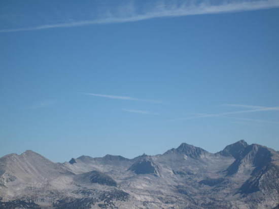
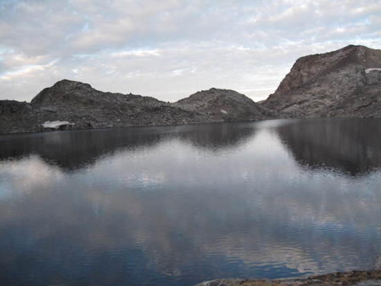
The next day I crossed the clark range at red peak passupper ottoway lakesswithbacks leading to the topview from the toplooking eastred devil lake
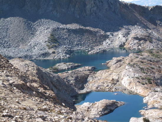
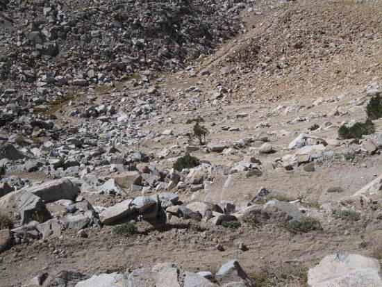
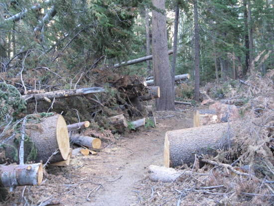
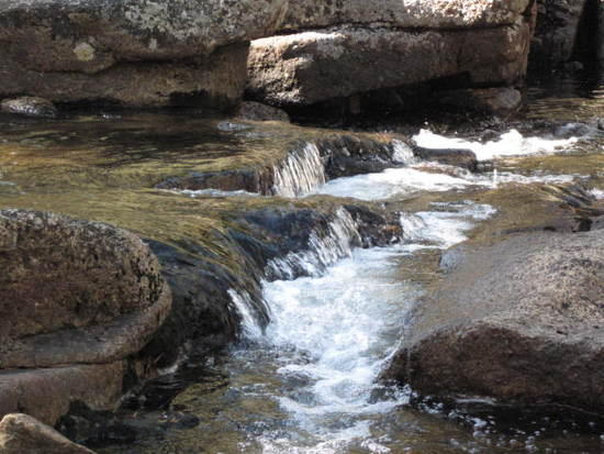
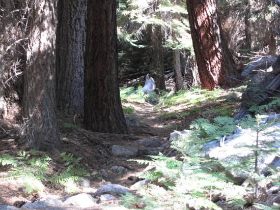
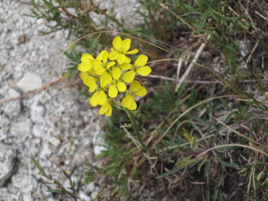
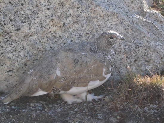
The next day I passed by Rutherford lakerutherford lakesome of the cleared fall downs from last yearplenty of water still flowingthe trailall the wild flowers are small this time of yearview of bernice lake going up volgelsang passlooking southeast from topwhite tailed ptarmigan by volgelsang lake
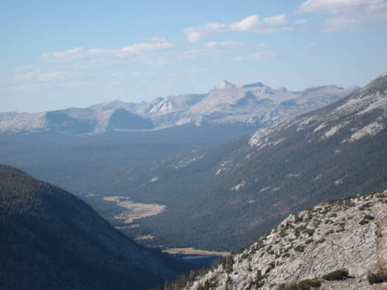
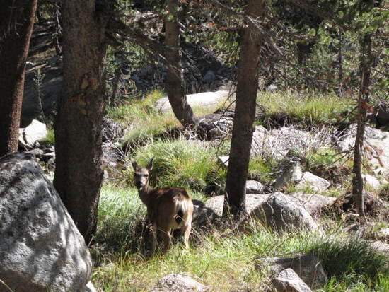
Spent the night at volgelsang and headed toward donohue passdeer I saw on the waylooking back into Lyell canyon from top
Made camp about 3miles on the other side of donohue on my way to thousand island lakeI was suprised to find the water still flowing so plentfullymt banner and thousand island lake from the trail
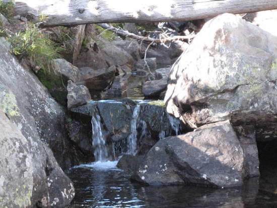
I headed up the north glacier pass toward lake catherinethousand island lake looking backspent the night at lake catherine
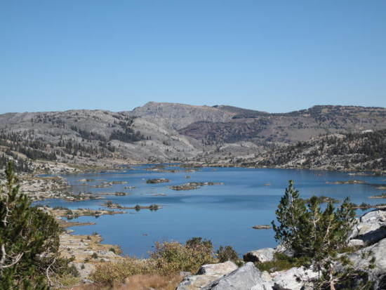
The next day I went towards twin island lake and the stevenson trailon the way down from lake catherinepicked up a trail near hearpool near hemlock crossinghemlock crossingthe minatets from the stevenson trail
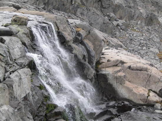
Oh Fool BPL Member
PostedSep 24, 2012 at 11:12 am

Awesome pics! Looks like you had an awesome time.

Im planning on soloing the JMT in a couple weeks, how are the water levels? I hear they are super low. Did you ever not get water when you needed it?

PostedSep 24, 2012 at 5:27 pm

Hi,

Nice pics.

How exactly did you get from the Lake Catherine/waterfall/Roper route back to your car?

I went through here on the Roper Route this year, and got to wondering how long it would take to walk up to Twin Lakes from the Beesore area somehow.

– Elizabeth

PostedSep 25, 2012 at 7:54 pm

I only did a short section of the jmt lyell canyon had plenty of water. The other side of donohue pass I found plenty of places to replenish my water bottle but i only went as far as thousand island lake.

PostedSep 25, 2012 at 8:00 pm

The trail head you want is the isberg pass trail head. About 3 miles up the trail is a junction that will take you to stevensen trail. total distance is about 13 miles and the trail is hard to follow at the very end due to very little use.

Viewing 5 posts - 1 through 5 (of 5 total)
Loading...