The Roost is primarily a canyoneering destination, which means most of the traffic is limited to only the very ends of the fingertips of the many canyons in the area. Backpacking in the area is also sublime, though, and I had a couple days last week to do some exploring. It was a strange trip in that I knew what trailhead I was going to start from, but hadn't really decided where I was going to go, even after I started hiking. The area can be accessed from the east at the tops of the canyons but I prefer accessing from the Dirty Devil side. Less driving and great views to start the trip. I started hiking late morning from Burr Point. 
The descent to the Dirty Devil starts with some slickrock hiking and navajo dome crossing.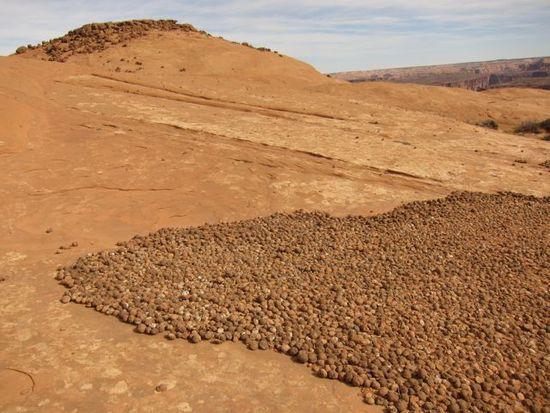
It then follows a (sometimes very narrow) bench for a couple miles before you get to a side canyon that allows access down to the river. In the photo below, the bench is the first one below the top Navajo cliffs. There were several places looking across to the bench that I thought there's no way that can be the trail. The exposure seemed extreme facing it but when you're on it it's much flatter than it looked and wasn't really exposed at all.
Once down to the river, I quickly remembered how unenjoyable walking along the Dirty Devil is. I had considered heading upriver to Larry Canyon but decided against it due to the pain it would take to get there. Steve Allen also describes a route that climbs out of lower Twin Corral Box Canyon and crosses the bench above the Dirty Devil but I hadn't written it down so that was out for this trip. Trying to negotiate the Russian Thistle: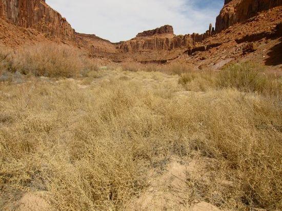
The trip, then was going to be up Sam's Mesa Box Canyon, exit the canyon at the top, head over to Twin Corral Box Canyon, explore some of the forks, and back down to the river. Lower part of SMB: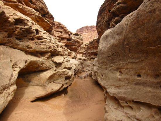
Lots of petrified wood on the canyon floor:
The upper half of the canyon was especially great. Some canyons make you a little claustrophobic and it's a relief to get up above them. Some are just, well, cozy. SMB was the latter.
Ice and snow in the upper canyon was a surprise considering the warm recent temperatures.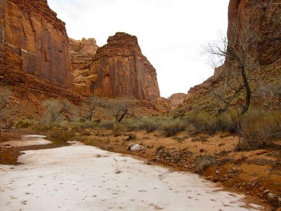
More upper SMB 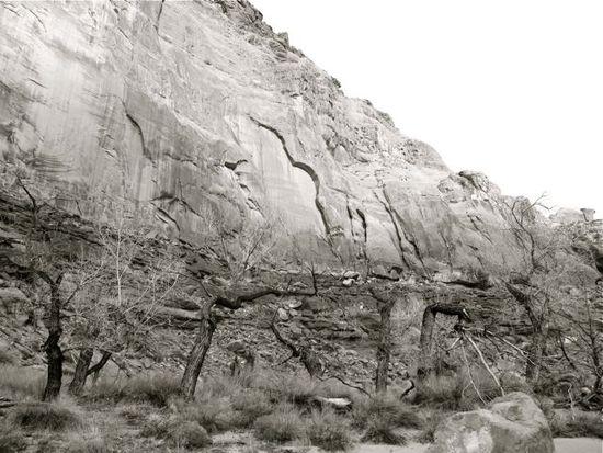
Waiting on dinner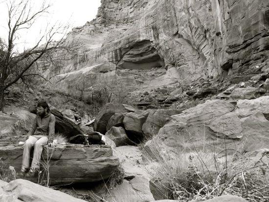
I camped at the point where I would climb out the next morning. The route out was a little tricky in a couple spots, requiring following benches down canyon quite a ways until there was a route up, but overall not too difficult. Views of the canyons and the Henry Mountains behind were spectacular from the top.
Next up was routefinding over to a side canyon of Twin Corral Box Canyon. I followed a game trail for a couple miles before I decided I needed to head a bit more West. About ten feet past my first thought of needing to turn, there was this: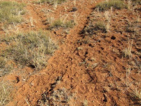
A group of about 15 Pronghorn moved with me for a couple miles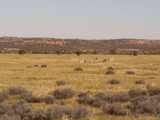
View into a fork of SMB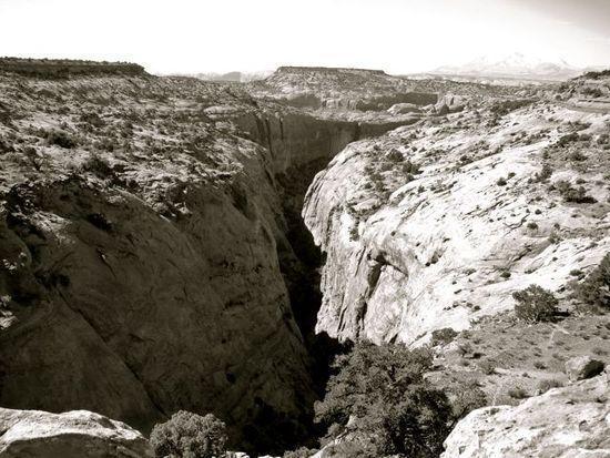
Enjoying a little lunch and shoe de-sanding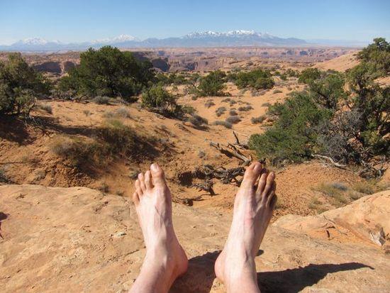
When I got to where I thought I'd be able to drop into TCB, I found a huge cliff. It took me a couple hours of rim walking, climbing over sandstone domes and staring at maps to find the right spot. Turned out that I had been too far upcanyon. After the first set of cliffs, there was another band of cliffs, a couple dryfalls, and this slot to bypass to finally make it to the bottom.
I had planned to go all the way to the top of the main branch of TCB, but It was a little later than I had hoped so decided to go up a ways and check out some of the side canyons.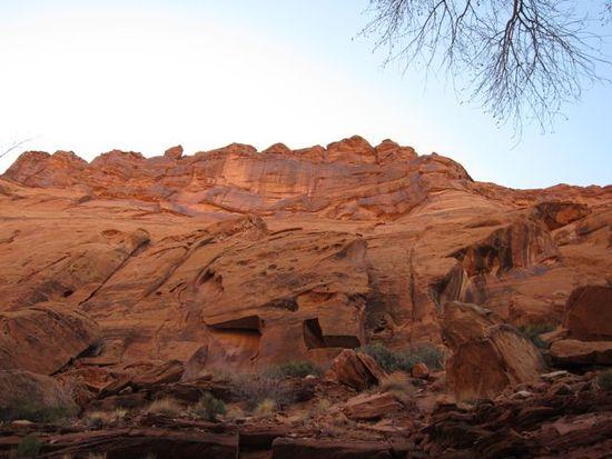
In the Alcatraz fork: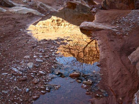
Next morning in lower TCB:
Ready to cross the Dirty Devil: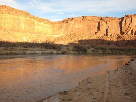
And one more from the top (TCB coming in on the right):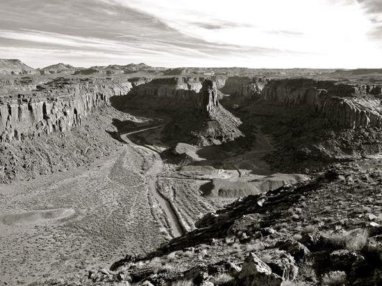
I ended up back at my truck at exactly the same time I'd set out. Overall, great route, solitude, and spectacular scenery.

