I started backpacking because of a dog. He was a big red dog of questionable descent, what the locals called a “Rock” (mixed breed Rottweiler). I had rescued him off the streets of West Philly as a sick little (parvovirus) puppy, but he soon grew into a giant. His name was Ike.
Ike was the stereotypical bad dog; a troublemaker, a beggar, and a thief. He trashed my apartment regularly when left alone, but he was loyal, devoted, and protective. I couldn’t really leave him with anyone, so I started doing things that allowed me to take him along, namely hiking and backpacking. As it turned out, he was the perfect companion for a boy alone in the woods. Here, his guard dog instincts suddenly made sense. I could always relax, knowing that Ike was watching out for us. He had boundless enthusiasm for these adventures and an “always forward” personality. In fact, if the time did come to turn around, he would frequently throw himself down on his side, looking up at me with expressive eyes as if daring me to try and move him. He was absolutely fearless (except for needles, he didn’t like those very much). Some years after Ike died (at the ripe old age of 15) it made sense that he would become the inspiration for my trail persona.
Having spent my summers growing up in the Adirondacks, the first trail that we really started to explore together was the Northville-Placid Trail. The NPT is an approximately 133 mile trail that traverses the heart of the Adirondack wilderness, following streams from lake to lake over a generally lowland route. Even though I had long since moved away in pursuit of a veterinary degree, we still came back regularly on weekends, stopping by my folks house to grab a handful of angel hair pasta and a baggie of dog food before running out to the woods. Because of its proximity to my parents’ house, our excursions were confined to the Southern end of the trail. In my spare time though, I’d pore over my 1986 edition of the trail guide, always planning to return and do the whole trail. Somehow, this never happened. Education, career, and family always seemed to get in the way, and when Ike’s legs began to fail I stopped backpacking for a while.
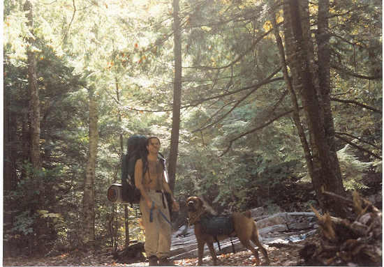
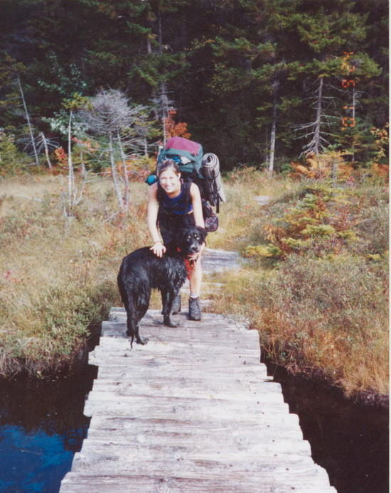
Ike and the author, setting out on the NPT (circa 1992)

Ike, ready to go in his pack (circa 1993)
Every now and again though, I returned to hike short stretches of the NPT. This was the first trail I hiked with my soon to be wife, and the first trail I brought my kids to when they were old enough to be carried a mile or two.
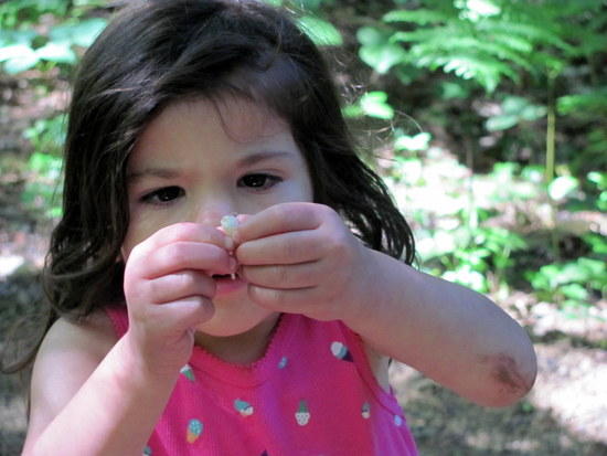
I turned 40 this year. In my mind I’m still that same boy in the woods, though maybe a little more cautious, a little less idealistic. I still see that boy’s face when I look in the mirror, but I’m always surprised at the cares starting to creep in to view. What has really changed though is my perception of time. I have my own kids now, two girls, age 3 and 5. Time flies by and I see them developing at an alarming rate. I must be getting older too. I've decided to leave no room for regrets, nothing left undone. Time to finish something I started a long time ago.
I made the 12 hour drive from Michigan to Lake Placid on September 28th, stopping only twice for gas and food. Road rules were in full force for this trip and I was soon good and greased up, having consumed enough calories to sustain me for 3 days or so. I arrived at the trailhead by about 10 pm and caught a few restless hours of sleep in the back of my car. I was picked up the next morning by Tom H, who runs the NPT shuttle (contact info available at the ADK forums). Tom was a cool guy. He had left corporate life to pursue his dreams in the Adirondacks, had built a couple of cabins there by hand, and had climbed all 100 tallest peaks in the Adirondacks in a single winter season. We had a lot to talk about.
It rained steadily for the entire drive. In fact, the forecast had called for rain and thunderstorms for the next 5 days. Tom asked if this bothered me and I answered with the currently popular “It is what it is”. With the responsibilities of work, family and home, I usually only have a pretty narrow window in which to accomplish my adventures. I don’t get to choose the weather, but I do get to choose how I react to it. The way I look at it, bad weather is just another opportunity to face a challenge. Because so much of my enjoyment of backpacking revolves around overcoming obstacles, bad weather often perversely improves my perception of the trip.
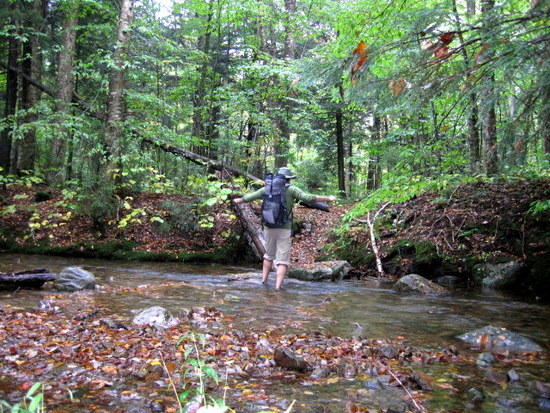
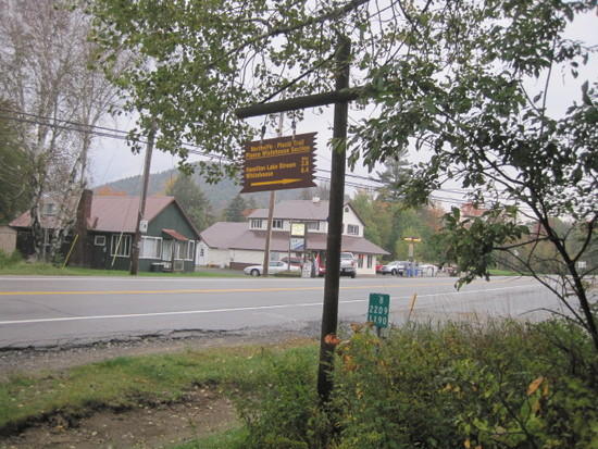
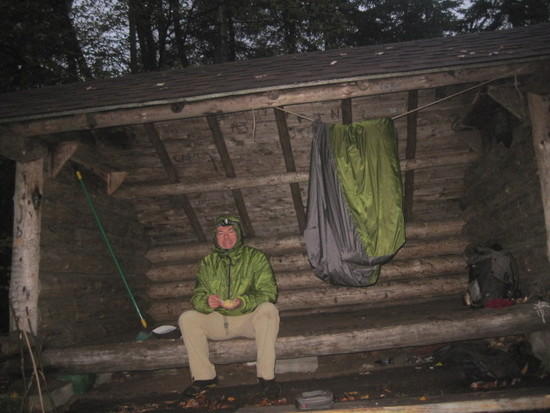
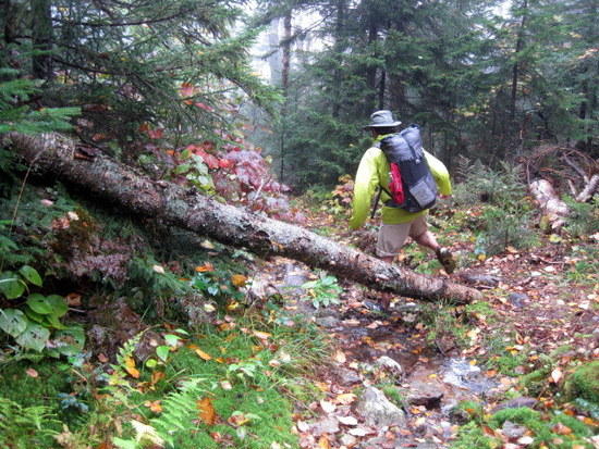
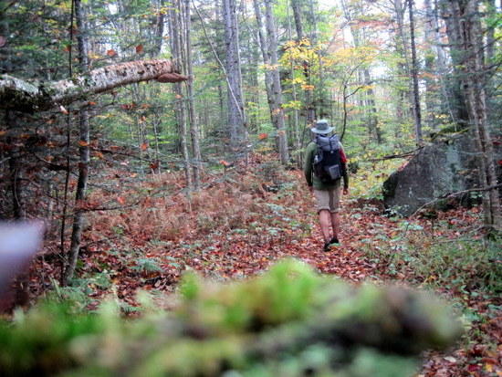
Tom dropped me off at the Upper Benson trailhead (the route from the original Northville trailhead has been paved for many years and is no longer routinely hiked due to busy traffic) somewhere around 10 am, shot a quick picture of me signing the trail register, and drove off in a cloud of dust. The rain had temporarily subsided, and I headed off up the trail.

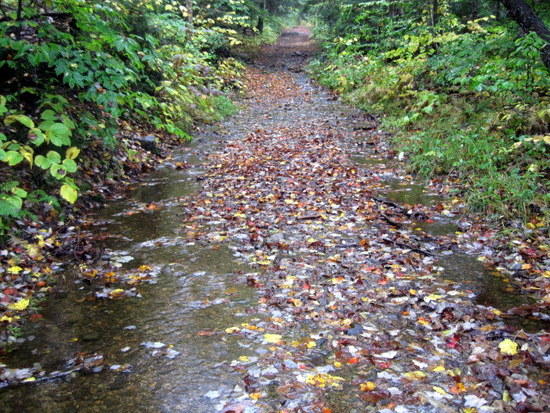
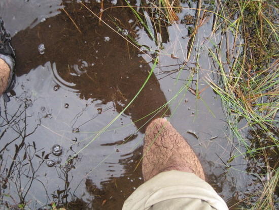
The trail was flooded and my shoes and socks quickly became soaked. They would not be given the opportunity to dry again for the entire trip. This was a blessing, because I no longer had to worry about carefully picking my way across stream and mud crossings. I just stomped on through.
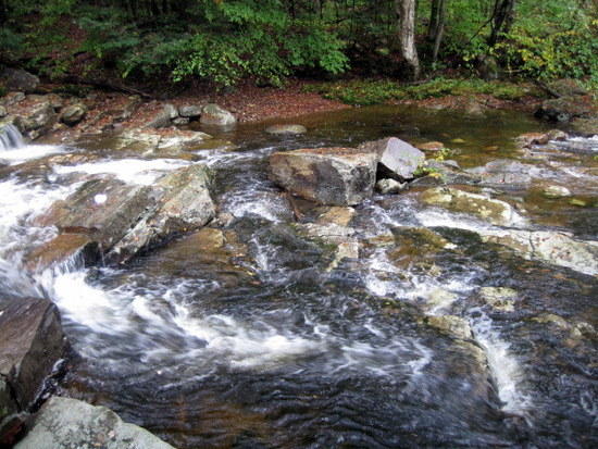
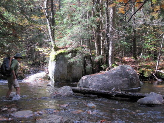
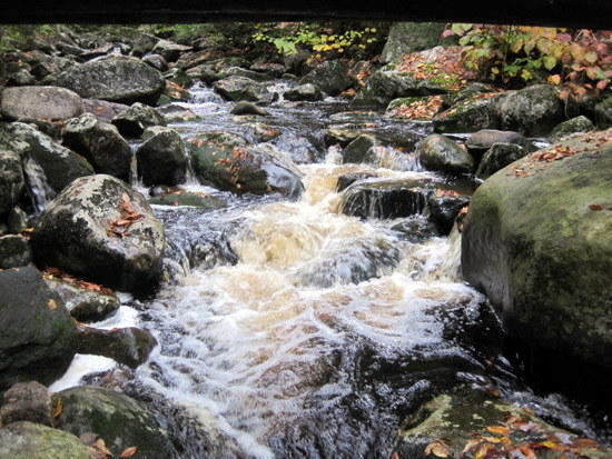
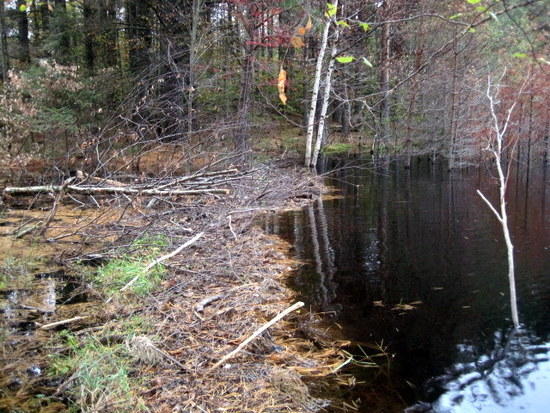
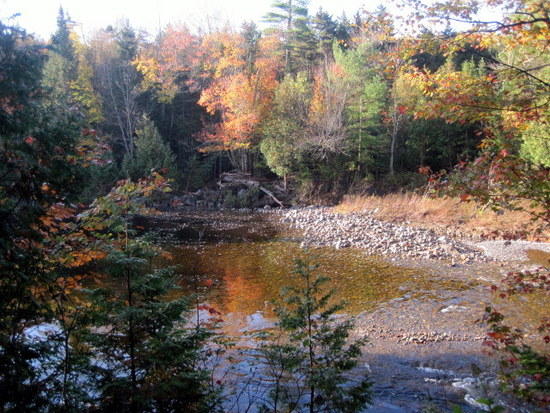
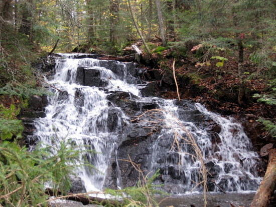
Soon I was walking along the banks of West Stony Creek, a place I had visited many times before. I paused briefly to pose by a familiar waterfall, remembering the many associations I had with this spot.
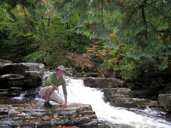
West Stony Creek, 2011
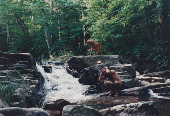
Stopping for a dip in West Stony Creek, circa 1992
It was around this time that I suddenly realized my water bottle was gone. It was a tall, thin smartwater bottle, and it must have slipped out in Tom’s truck. I had done a quick survey of the truck bed after grabbing my pack, but it must have rolled away and I didn’t see it. Because of the availability of water on this trip, I had only brought a single bottle. I briefly considered my options and decided to go on. My ride had already left, and anyways, I was sadly certain that the trail would provide. If not though, I had a backup plan.

Dramatization: I realize that the water bottle is no longer in my pack.
Crossing Goldmine Creek, a popular spot during the Adirondack gold rush. As I snapped this picture, a heavily laden fellow backpacker stepped into view coming from the opposite direction. He had thru-hiked from Placid and gave me the beta on what to expect, from areas of worst storm damage to the bridges that had washed away. He mentioned that this was his fourth time thru-hiking the trail. I thanked him for the valuable information and wished him well.
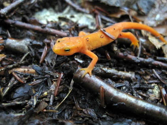
Spotted Newt: These guys were everywhere. I had to step very carefully to avoid injuring one.

Crossing a stream on slippery rocks

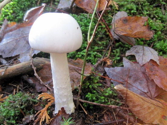
Indian cucumber were very prevalent in this section of the trail and I snacked on some as I walked.

A frog’s realm (in the style of Monet)
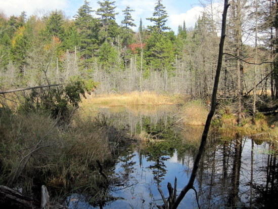
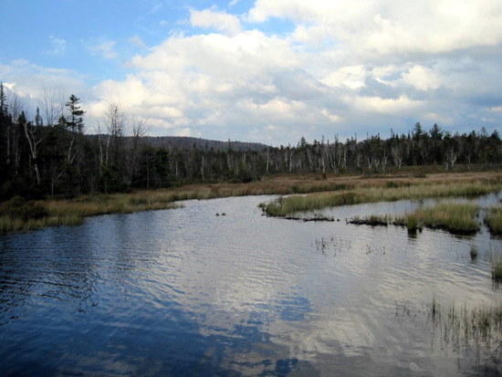
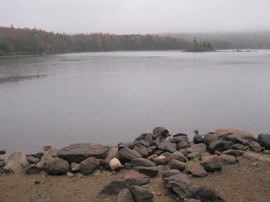
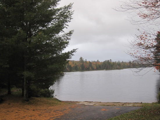
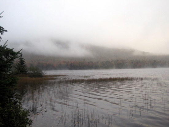
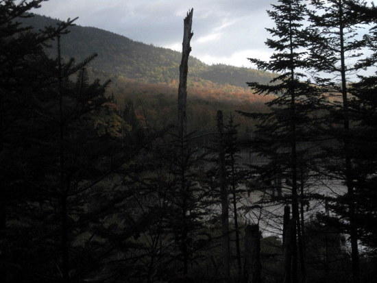
The rain picked up and I threw on my poncho. I crossed the West Branch of the Sacandaga River and soon came to Meco Lake. Spectral trees rose out of the mist.
Continuing on, I reached Silver Lake, again shrouded in mist.
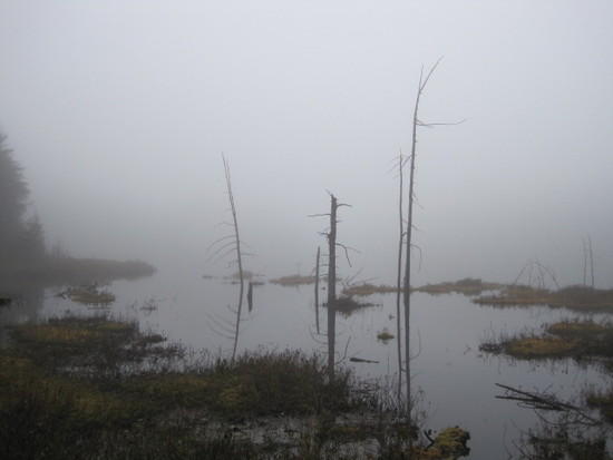
Meco Lake
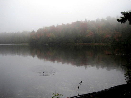
Silver Lake
I had stayed here many times before. I remembered one particular trip when I had arrived at the Silver Lake lean-to, only to find it already occupied by a couple who had very clearly moved in. Somehow, they had managed to haul in an axe, a sledgehammer, a grill, two cases of beer (bud light), a bottle of Jameson’s Irish whiskey, and an inflatable raft. As I prepared to move on, their dog started playing with mine and they encouraged me to stay. That night, I feasted on burgers and Jameson’s as we chatted easily and watched our dogs romp in the clearing. Not an encounter I would have sought out, but one that made a very lasting impression about the kindness of strangers and how appearances can be deceiving.
Unfortunately, this time, I had a different kind of surprise waiting for me. Someone had left a dead mouse on one of the lean to posts. I hoped things weren’t about to go all Blair Witch on me.
I swept away the mouse, and looked around the shelter, hoping for a new water bottle. No such luck. Still, it was nice to get out of the rain for a while. I paused for lunch (peanut butter in tortilla wraps) before moving on.
Nature rolls out the red carpet

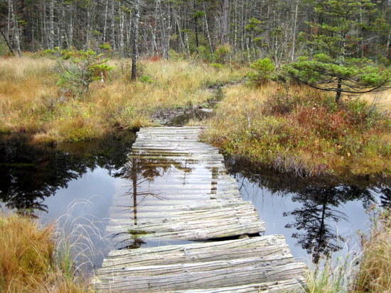
Soon I reached the first of three vleis.
I’m not really sure what the word “vlei” means, but I think it comes from the latin for “walking through quicksand on submerged logs”. Years ago, the Adirondack Mountain Club had put down corduroy tread (basically log laid crosswise along the trail), but water levels had clearly risen since then. I couldn’t see where I was putting my feet and was dreading the misstep that would plunge me into that muck up to my eyeballs. I knew from experience just how deep some of those mud pits could be.
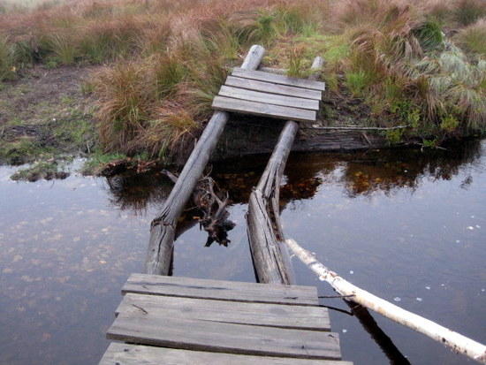
Submerged bridge across a waterway in the vlei
Same vlei circa 2001, with J and Loki. Note the difference in water levels. Loki is all wet because he had just fallen into a deep mud hole.
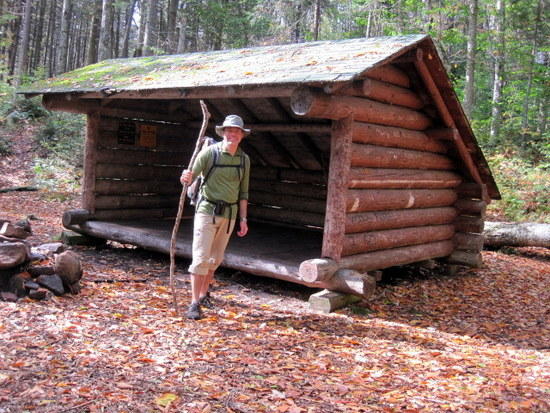
As the rain continued to fall, I crossed a number of beaver meadows and bogs before reaching the Mud Lake lean to. Getting in out of the rain, I finally found my replacement water bottle.

Mud Lake Lean-to
Taking a break from the rain
Three more miles wet miles brought me to Whitehouse and the suspension bridge over the West Branch of the Sacandaga River. It was now about 6 pm, raining steadily, and the light was beginning to dim. I crossed the bridge, pausing to look at a large rock in the middle of the river.

The Rock
Many times, I had stopped to picnic or just laze on that very rock while Ike walked back and forth in the water looking for fish. Were the weather kinder, I would have stopped for old time’s sake. Now though, I needed to find a place to get out of the rain. My knee had begun to ache on the downhills. That old age already starting to creep in, I guessed.
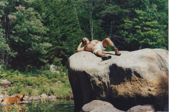
Lazing on the rock while Ike fishes, circa 1997
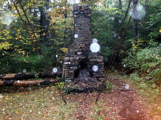
Chimney at the end of the bridge
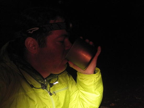
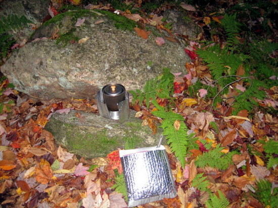
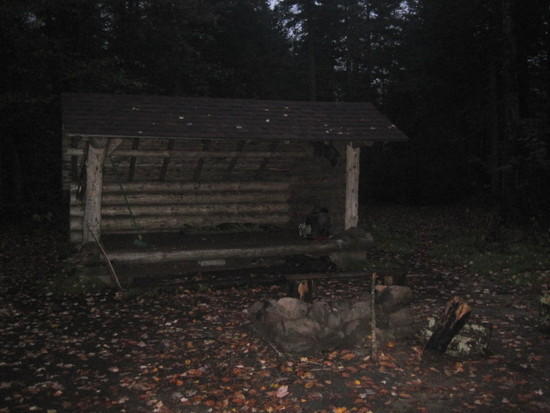
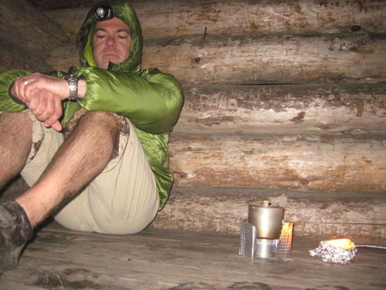
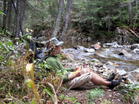
I stopped for the night at the Hamilton Stream lean to. Couldn’t help but notice another dead mouse left on top of the firepit- creepy. I spent too much time alone in the woods though to be easily taken with flights of fancy. Because my newly acquired water bottle was so small, I used one of the ziplock bags from my food to collect and treat a good amount of water. I filled my pot with some of the water and stuck the bag containing the rest into my hat to keep till morning. Dinner was dehydrated chicken ala king. It was delicious and warm. I used the leftover hot water to make a mug full of hot lemonaid, fortified with everclear. At last I could feel the chill leaving my body.
My clothes were damp from the rain, but I ended up climbing into my warm quilt anyway, knowing that they would soon be dry. Sure enough, when I woke briefly that night, they were, and I drifted back to sleep in downy bliss.
Starting Point: Upper Benson Trailhead
Ending Point: Hamilton Stream lean-to
Distance Traveled: 18.5 miles
*Note: All reported mileages were calculated using my 1986 trail guide and NPT signposts. Because of trail reroutes, actual mileage may have changed in some places.
I woke in the darkness of the morning and was pleased to see that the rain had stopped. I boiled some water for coffee while packing away my gear. Breakfast was a dehydrated mess of potatoes, spaghetti sauce, and pinto beans. I ate while I walked and soon reached Priest’s Vlei.
By now I had an affectionate nickname for the many vleis I had to cross. “More F%ing quicksand” I said as I reached this one. Deep down, I really liked the desolate look of the vleis in the mist. I just wasn’t so sure I wanted to cross one of the really boggy ones in the dark. There was this primitive fear of getting sucked down into the muck, never to be heard from again. I was in awe of the early travelers on this path who had to cross such obstacles before the walkways and bridges were eventually built.
Seven miles of walking brought me to my first road crossing in the hamlet of Piseco. A general store sat just off the trail and I walked in to pick up a new liter size bottle of water. I was greeted by a handful of locals who were sitting around eating breakfast. As it turned out, the general store was also the diner. They looked at me a little strangely as they took in my mud-splatted appearance. I had just finished my own breakfast, so I paid for my bottle and left.
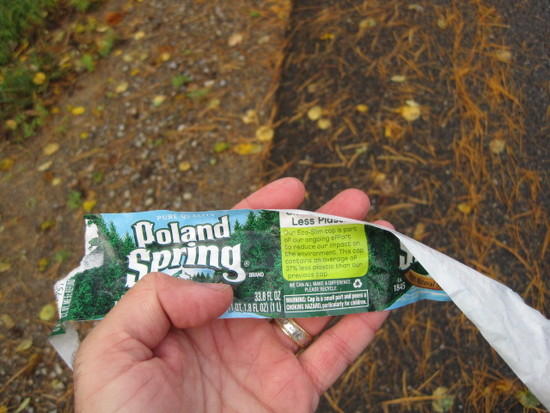
As I walked, I peeled the label from my water bottle. While I was delighted with the ergonomic shape of the bottle, I wasn’t going to be anyone’s walking billboard. Besides, I had just saved 0.1 gram!
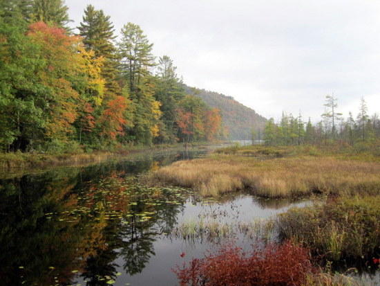
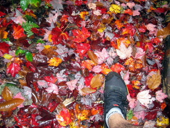
Fall colors
I was now entering the West Canada Lakes Wilderness Area, probably the wildest part of the Adirondacks.

An orgy of newts
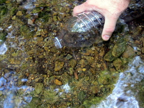
Filling up at a crystal clear stream. Poland Spring’s got nothing on this.


Another wet crossing

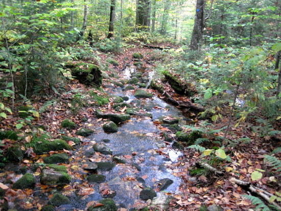
The paths were so flooded that even the well intentioned log bridges frequently fell short of the mark. I had long since given up on trying to keep my feet dry
Another vlei
I stopped briefly at the Spruce Lake shelter to shoot some pictures. I had read about monster brookies in Spruce and Cedar Lakes, but once I got here and saw how monsterous the lakes were, thoughts of bankside fishing with my tiny tenkara pole quickly fled and I pressed onward.
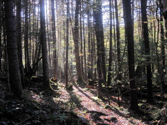
The section between Spruce and Cedar Lakes was to become my favorite section of the trail. Despite a history of logging, this murky wood had reclaimed itself. Everywhere you looked were dark mossy trunks, tumbling streams and falls, tangled roots, and dank, dark corners. The forest had a massive brooding presence. This was the kind of forest that gave birth to fairy tales. There were also bogs, silted ponds, beaver meadows, and raging rivers. I could picture the early explorers struggling to make their way through this harsh and fertile land.
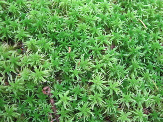
Sphagnum
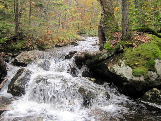
At times, the footpath would share its course with a stream for a ways before the stream finally meandered elsewhere.

Stream in the West Canada Lakes Wilderness. See if you can spot the trout hovering over the pink leaf on the right
Looking out over Sampson’s Bog, a beautiful beaver pond with a majestic waterfall at its outflow. I stopped her to fish and caught a handful of small Brookies. When I left, I must have dropped the small film canister containing a dozen or so flies I had tied. This was the beginning and end of fishing on the NPT for me.
More F#ing quicksand

Finally I reached West Canada Creek. The bridge had blown out in a past storm, and I could see its remains washed up on shore as I looked downstream. Someone had strung a rope across the creek, and there had been signs warning of a dangerous crossing, but it didn’t look too bad to me and I forded quickly.
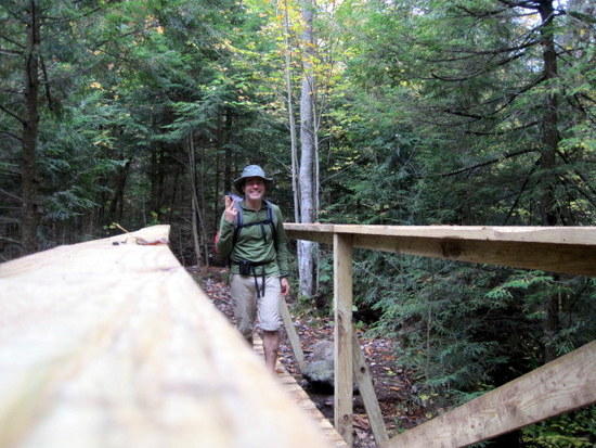
Outlet of South Lake crossed on a very elaborate wooden bridge.
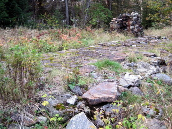
Ruins of an old caretaker’s cabin in a clearing past West Lake. Many such buildings were burned in the past because they did not fit with the DEC definition of a wilderness area. I reached this clearing at 6 pm. A sign nearby told me that there were still over 6.5 miles to go if I wanted to stick with the itinerary I had left with my wife. With an average pace of 2.5 miles per hour on these trails, I’d be walking in the dark tonight. I just hoped there were no dangerous bog crossings coming up.

Darkness fell by 7 pm and I continued on. I avoided turning on my headlamp for as long as I could, picking out the path using my peripheral vision. By 9 pm, I finally made it to Cedar Lake. I lit up my alcohol stove and pitched my poncho while waiting for water to boil. Dinner tonight was a spicy Italian sausage pasta, one of my favorites. I wolfed it down gratefully, hung my bear bag, and turned in for the night.
Starting Point: Hamilton Stream lean-to
Ending Point: First Cedar Lake
Distance Traveled: 30 miles
Not surprisingly, I woke to the sound of drizzle on my tarp. I fired up my stove then packed up and broke down my tarp. I rehydrated today’s breakfast, a quiche, made some coffee, and headed down to Cedar Lake to eat. The quiche looked like vomit, and quite honestly, I was starting to feel the effects of too much dehydrated food. I only ate some of it before starting to move on. It had become increasingly clear over the last year or so that I needed to do something different about nutrition on these high mileage trips. Packaged foods just weren’t doing it for me anymore.
Cedar Lake
I stopped at a stream to empty some of the grit out of my shoes. I noticed that my socks were starting to disintegrate. Either that, or they were evolving gills to allow my feet to breath better. Luckily my feet themselves were showing no signs of discomfort.

In the rain, I continued on through vleis and streams, finally making it to Wakely Dam. Here, the trail again followed a road briefly. As I signed in at the trail register, I noticed a posting looking for information about a man who had disappeared in the area. Next to it, some idiot had scrawled, “I’m sure he was a nice guy, but the ADKs will kill the unprepared!”
The trail merged with an old two-track (a former logging tote road). It was cold, wet, and windy, and I was starting to feel chilled. My shirt had gotten wet. I huddled deeper into my poncho and tucked my hands under my armpits. This was turning into a miserable day, so I put my head down and went about the business of covering my miles. Was I going to end up being one of the “unprepared”? Based on my 1986 guidebook, I thought it was going to be a long road walk, but luckily things had changed in the last 25 years and the trail had been rerouted into the woods. Winds died somewhat and my clothes quickly dried under my poncho. By afternoon, I was ready for an attitude adjustment.
The attitude adjustment is one of the backpacker’s best tools for inclement weather. It goes something like this: pretend you are having fun and the reality soon follows. A more skeptical way of looking at it is this: as memory inevitably fades, the images captured on film become the reality. So at least make it look like you were having fun, and later, no one can prove otherwise. My wife and I rely on this with some of the “forced family fun” we put the kids through.
See, still having fun!
Passing Lake Durant, another section finished
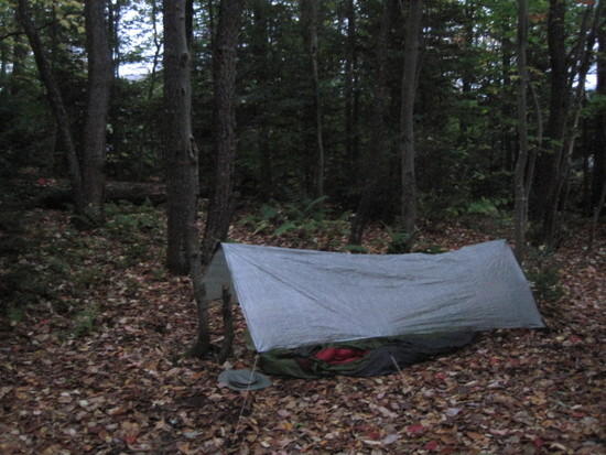
As darkness fell, I found myself pushing on toward Tirrell Pond. This was a well maintained but muddy section of trail. A number of times, I surprised myself by plunging knee deep into mud holes, crusting up my pants with the stuff. I tried to wipe it off with my bandana (aka the skankrag), a last minute addition that became one of the MVPs for this trip. I would later use it as handkerchief, pot holder, dishcloth, and washrag, much to my own disgust. I walked through a constant drizzle, but my windshirt seemed competent to handle it so I left the poncho off for ease of passage through this terrain.
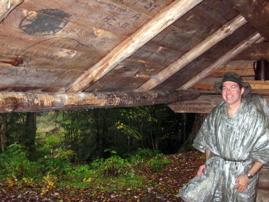
Nearing where I thought the Tirrell Pond lean-to ought to be I suddenly heard voices and saw a fire. Blinded by the sudden brightness, it took me a moment to realize that this was not in fact the lean to. A bunch of guys had been flown in by float plane for a backcountry fishing trip and had set up a major tent city right on the trail. They must have been equally surprised to see the “swamp thing” that suddenly appeared out of the darkness, and just as quickly bolted away into darkness. Weaving my way between their giant canvas canopies, I found the trail again and soon reached Tirrell Pond Lean-to by about 8:20 pm.
A welcome sight for sore eyes.
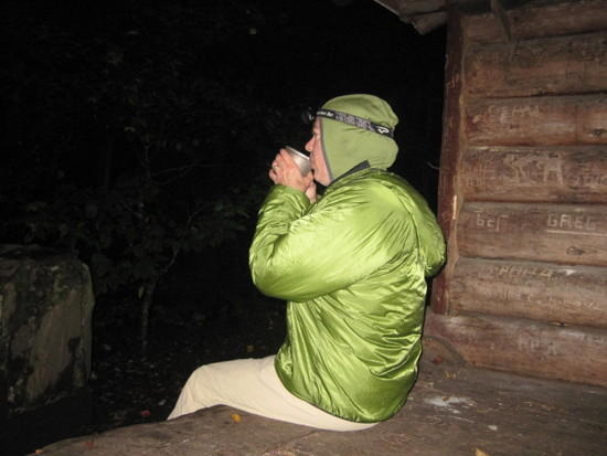
I was cold, hungry, sore, and exhausted. I lit a homemade foil wrapped candle found in the shelter and sat brooding in a corner, waiting for water to boil. Would I be able to maintain this pace for another two days? I wasn’t so sure.
Twenty minutes later found me snuggled in my sleeping bag, eating a bag full of hot pasta. Many times today I had asked myself why I put myself through this sort of torture. Now full and warm, I remembered the answer. This meal, this rest, this satisfied feeling had been earned through perseverance and my own efforts. Tonight, I felt good about who I was and what I had accomplished. Tom had touched on it a couple days earlier when we had talked about his winter climbing efforts. His mantra was, “it doesn’t have to be fun, to be fun!” I liked that.
Starting Point: First Cedar Lake
Ending Point: Tirrell Pond Lean-to
Distance Traveled: 26.4 miles
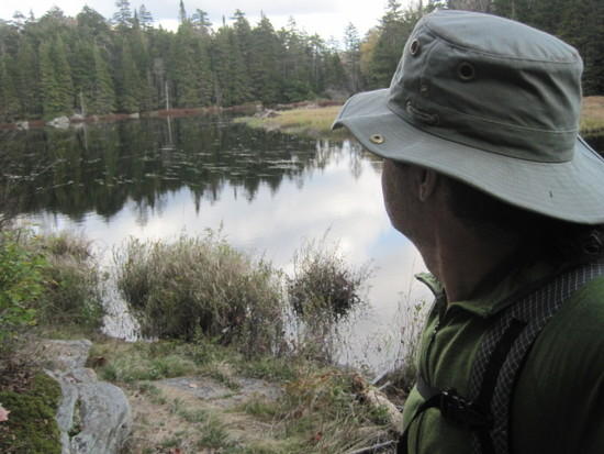
The next morning, I retrieved my bear bag (my guidebook had warned of raccoon and porcupine frequenting this shelter) and rehydrated my breakfast, MH breakfast skillet burritos. I hung my bag to air out while I ate. Once again, I was not able to finish. After breakfast, I wandered down to the beach of Tirrell Pond to shoot some pictures before moving on. Today I would climb to the top of Blue Ridge.
Tirrell Pond
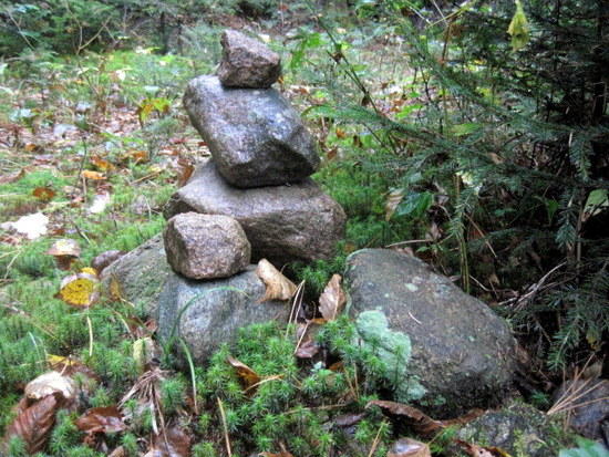
Cairn marking a trail junction

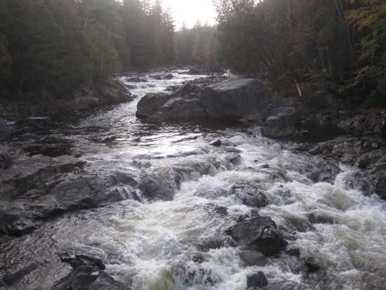
Salmon River
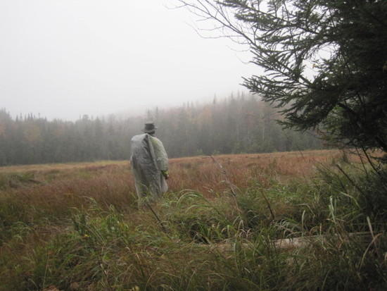
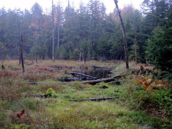
Crossing a Beaver meadow in the rain
Another bridge out (Chickadee Brook)

I had no problem crossing. I did have a little problem though trying to do it again in under 10 seconds to beat my camera self-timer. I nearly took a swim this time.
The climb up to Blue Ridge started on a really pleasant path.
As I neared the top though, it became progressively more choked and rocky and I shed my raingear to facilitate bushwacking. Unfortunately, there were no sublime views at the top to reward the effort. Life is like that, sometimes.
Stopping to pet the nice furry rock.
The way down was just as tricky, with the path frequently commandeered by wayward streams, blowdown, or both as in this case.

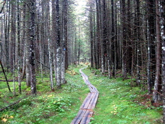
An elaborate series of boardwalk through a pretty mossy area, approaching Long Lake
It was now about 1 pm and I had already climbed a mountain today. Soon I found myself pleasantly strolling along the appropriately named “Long Lake”. It would take me all day to traverse this area.


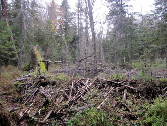
Soon the trail dead-ended on a beaver pond. I looked all over, but couldn’t seem to find a trail through the area. There were a lot of confused muddy footprints in the area, their owners clearly experiencing the same difficulties I was. I pulled out my map which showed the trail skirting the bog, but I couldn’t make the map match up to what I was seeing. Above the dam was a beaver pond, and below was an impassible flood plain. Beaver activity must have altered the trail significantly in the last 25 years. Taking a step toward the beaver dam, I suddenly saw a single footprint. Could it be? I stepped up onto the dam itself and saw another print. I started walking across on top of the dam and as I rounded the bend, I could see the path on the far shore. Craziest trail planning ever!
6 pm and light was started to fade. Some conveniently placed signage indicated that I was about 5 miles away from my goal. I had been hoping for one evening where I wasn’t going to be hiking in the dark, but apparently, this wasn’t going to be it. I started booking along, making good time, until I again dead-ended on a beaver pond. Again, no sign of trail. No mention of this on my map either.
Well, I knew how to deal with this now. I climbed up on the dam and started walking.
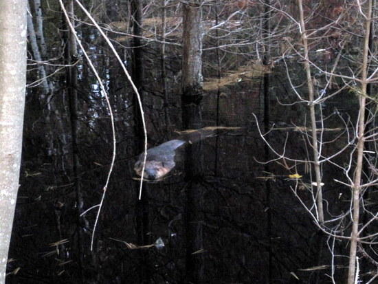
The dam’s architect was none too happy about this. He streaked towards me and started chuffing at me, as if to say, “What the @#%! are you doing!” When this didn’t work, he turned himself bottom up, back legs up in the air, and paddled the water hard, splashing me in the process. He then dove under water and popped his head up to see if he had succeeded in chasing me off. He did this a couple of times before I finally moved on, not wanting to be the first backcountry traveler mauled by a beaver.
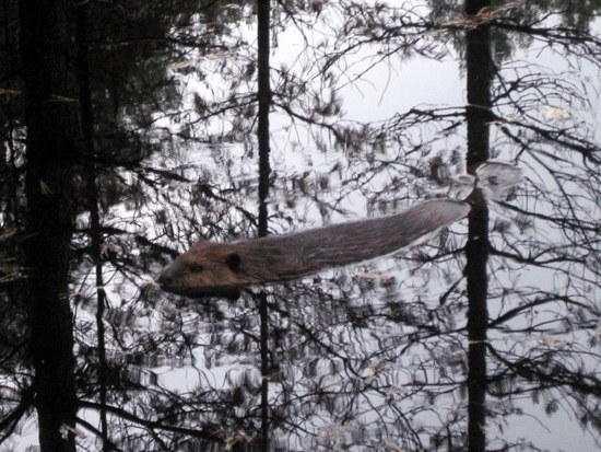
Gratuitous beaver shot
Taking off down the trail, I made great time, passing Shattuck Clearing about ½ hour earlier than I had planned. One more mile had me crossing Moose Creek then the Cold River (not really any colder to my feet than any other of the 1000 wet crossings I had made this trip) on suspension bridges. Finally, I bedded down for the night in a small clearing.

Nothing like the muted hiss of an alcohol stove for the weary traveler. It brings promise of warmth, comfort, and rest at the end of a long day. Today had been a great one. I had hoped to see a moose or bear on this trip, but was more than happy to settle for beaver. I celebrated the event with my favorite dinner, a spicy chicken pasta, washed down with my backpackpacker’s hot toddy.
Snuggling into my quilt that night, I suddenly started to gag. What was that stench? It smelled like a rat had crawled into my quilt to die and was now rotting away. As I finally fell asleep, my last waking thought was, “oh, that’s me”.
Starting Point: Tirrell Pond
Ending Point: Cold River
Distance Traveled: 24 miles
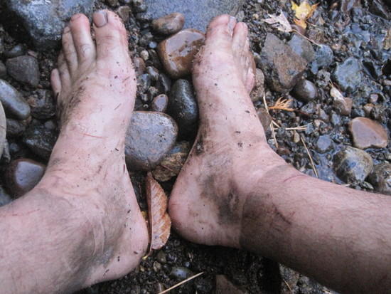
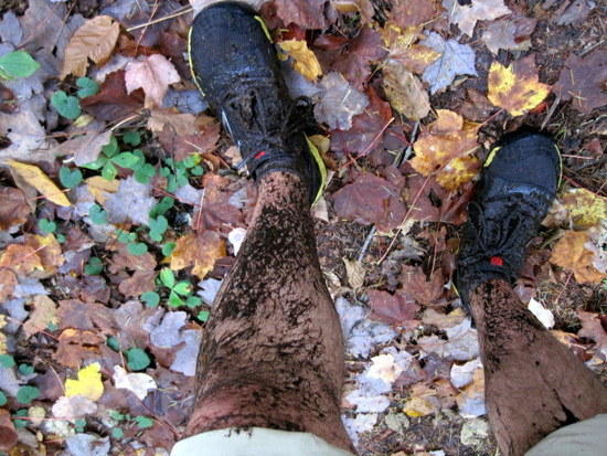
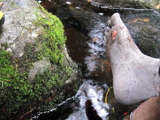
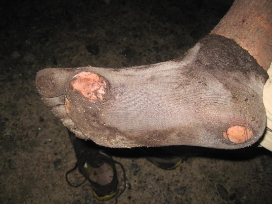
Hobbit Feet
Today would be my last day on the trail. It started off with a very pleasant walk along the Cold River and I stopped once or twice to soak my battered feet. Like a horse approaching the barn, I could feel my speed naturally starting to pick up. I passed Seward Lean-to, Ouluska Pass, and the hermitage of Noah John Rondeau (last of the Adirondack hermits) within just a couple of hours.

Along the Cold River

Seward Lean-to
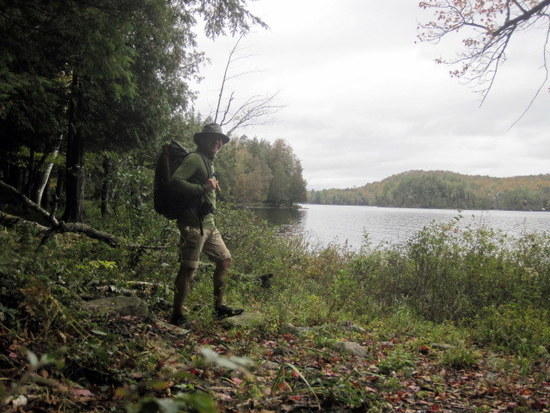
View from Seward


I enjoyed finding the plaque dedicated to Rondeau. “What it is is what it is” An old twist on a saying that a good friend uses regularly.
After 4 days of rain, it was refreshing to see the sun breaking through the clouds. The effect that this had on my outlook was noticeable.

Another damaged bridge, this time over Ouluska Pass Brook

No problem
Pleasant stroll

Finally I reached Duck Hole. Once a beautiful body of water, Duck Hole’s dam had burst in the recent hurricane Irene, emptying the lake. All that was left was a stream running through a large mud flat. Perhaps, in time, the dam would be rebuilt and the lake restored.

Closed for remodeling
Stopping for a trailside lunch
The final 12 mile push was not my favorite. This was Moose Creek Valley, or what I called “Land of the Stinking Skankpits”. I suspect the fact that this section of trail was all that separated me from a date with a giant cheeseburger may have had something to do with this overall poor impression. Regardless, the going was relatively slow. The trail was brushy and extremely wet. Time and again, I stepped on what appeared to be only a damp leaf covered section of trail, only to find myself plunged into a knee-deep mudpit. I was starting to slip more frequently, probably more from fatigue than anything else, but I fell in a couple of these pits, scraping my shins on subsurface sticks and rocks.
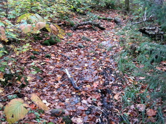
Damp leaves hide one of many skankpits
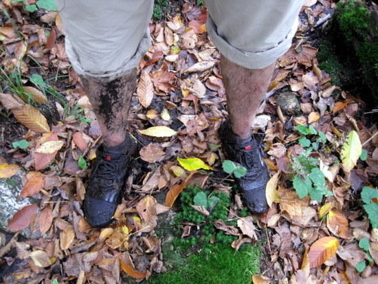
The aftermath
Soon I realized why this was happening. It was all those d@mn beaver, building their dams, flooding the whole place out, and creating a dangerous situation for everyone. I knew just what I had to do. If I saw one more of those guys, I was going to wear him like a hat. Teach ‘em to paddle water at me!
Realizing I was starting to go a little trail crazy, I moved quickly past this section of trail. Once past the beaver ponds, things dried out considerably.
Soon I crossed the Chubb River on a large bridge. Only 6 miles to go. Sensing victory, I picked up the pace. My goal was to reach my car before dark.
The trail entered a pretty hardwood forest and I sped along. A few more vleis, beaver ponds, and water crossings and I was out.

Starting Point: Cold River
Ending Point: Averyville Road
Distance Traveled: 24 miles
I was starving for real food, but also very much aware of my trail stench. How could I go into a public restaurant smelling like this. Surveying the parking area, I noted that the Chubb River flowed right alongside. I limped down to the bank, dubiously noting the large mud flat that had formed streamside. Couldn’t be any worse than what I already looked like though. I took my filth-crusted bandana and used it to soak up some of the water. I slicked back my hair and then scrubbed my armpits with some Dr.Bronners. To complete the transformation, I changed into a slightly used shirt I had worn on the ride up. “Ta-da!”. Not.
I drove home, stopping in Tupper Lake to eat at a Bar and Grill called “The Woodsman”. As it turned out, they wouldn’t know a real woodsman if one walked in and stunk up their establishment. The service was not great (though in their defense, I looked like a bum), but they did have one thing going for them. It was a homely little dish called poutine (essentially french fries topped with gravy and shredded cheese) and it was wonderful. After dinner, I drove for a few more hours before stopping to sleep in the back of the car.

The next morning, my fat afterburner was in high gear. I was literally starving. The problem was, between my mud-crusted clothing, unkempt hair, scraggly beard, and general odor, I looked and smelled like a homeless person. Where could I find good service? Then it hit me, a truck stop! The waitresses would be used to guys with big appetites who slept in their cabs and generally looked a little rough around the edges. Sure enough, I was seated by a friendly waitress who called me “hon” and didn’t seem at all surprised when I ordered 3 plates of food. As I ate, I thought about my trip and some things I had learned:
1. Poncho tarps would not be widely regarded as a good idea when anticipating 5 days straight of rain.
2. This is particularly true if using a paper thin one while bushwacking through an area recently devastated by hurricanes.
3. The presence of trail lean-tos eliminate risk associated with 1 & 2.
4. However, these are not particularly comfortable when your sleeping mat is the size of a postage stamp.
5. When looking to relive the carefree days of your youth, summer might be a more appropriate time to do so than a cold, rainy week in October.
6. For me, there seems to be a fine line between fun and suffering. I'm not sure what this says about myself.
I wish I could say that I had some sort of epiphany about age and acceptance, but I didn’t really. Getting older still sucks. For now though, I’ll settle for the fact that I have not yet met the limits of my abilities as a hiker. I’d love to attribute this to ever-improving physical abilities, but in reality I know that my greatest strength is just the ability to endure much suffering.
Maybe that could be my epiphany. Mental toughness will persist long after physical performance fades.
Nah. Guess I’ll just keep hiking and see what happens.
Ike