The trip reports and photos on here are so good I'm hesitant to post a trip report but I guess I'll give it a go.
I decided to go out and see some fall colors in what I consider my extended back yard, the Lost Creek Wilderness. The eastern edge of it is 10 miles as the crow flies from my house so it's really convenient and also really spectacular. I'm lucky to live so close to it. The southern part is mainly where the amazing rock formations LCW is known for are but this loop would be in the north and more of a walk through the woods. The loop would be the Payne Creek Trail to the CT to the Brookside-McCurdy trail.
My plan was to stop working early and get on the trail by 3 or so on Friday and get some miles in before dark. But as usual, work got in the way I wasn't able to get started until after 5. Knowing this I stopped and grabbed a sandwich at Subway and packed a few beers for what would be more of a camping out evening.
My dog Buddy and I hit the trail and 2 miles in saw an established campsite a little short of the wilderness boundary and made note of it. A lot of the trails in LCW are in canyons and flat spots can be few and far between. We continued on another mile up to Payne Creek and went past for a bit, still no spots that wouldn't have me sliding out of the shelter all night. We headed back, stopped and got some extra water at Payne Creek and went back to the sure thing. It was actually very nice and I made a real fire in the fire ring. I tend to have a small post meal fire when I use my C.C. Ti-Tri with wood. I just take the pot off and feed a little extra wood for some ambiance. But it was fun to have a real fire for a change. And a few IPAs didn't hurt either.
First night fire.

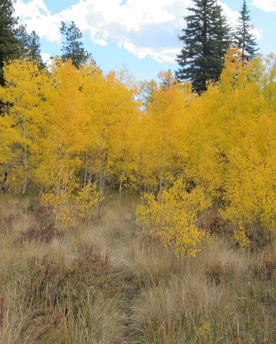
Slept in and wasn't on the trail until after 9. Which didn't bode well for making my planned camp in Craig Park which was about 20 miles away. But we could still make it if we didn't dawdle and I kept my trail socializing to a minimum (fat chance). As we climbed up to the high point of the Payne Creek trail, the gold carpet appeared.
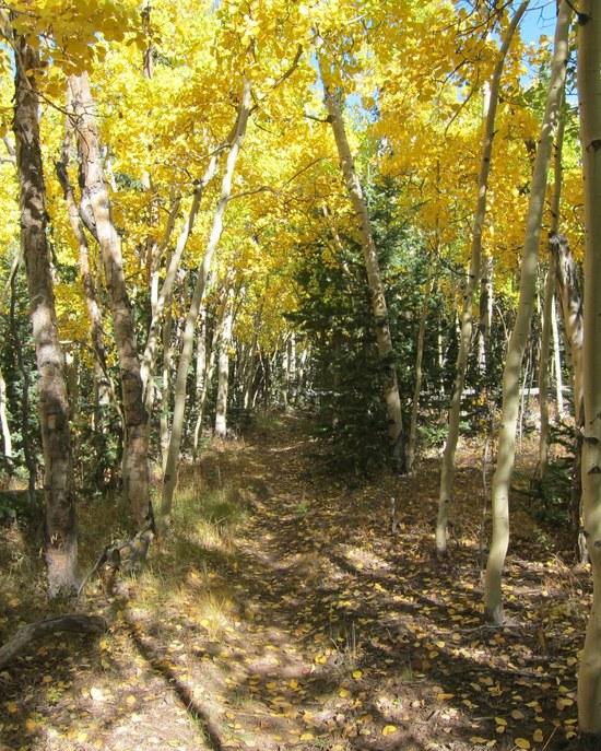
We got over the top and descended into the main body of the LCW. We stopped for a break to fuel up.
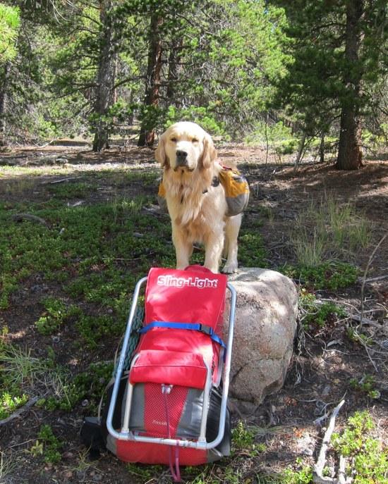
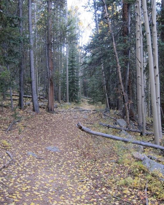
And we're soon into the thick of the Aspens.
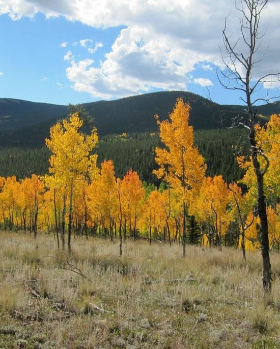
That is the trail you can see a few feet ahead in the pic.
We continued on past a beautiful beaver bond with close to 200' of dam. Unfortunately, I only took video of that. Then got to Craig Creek and got water. 2 backpacking fisherman showed up while we were there and said they had been catching lots of small Brookies in the stream and were headed up to the beaver pond and then out. We ended up talking fishing in the area for 30 minutes and we were behind schedule once again. But no matter. We started climbing to the CT and ran into a couple on horses they'd obviously gotten out of a movie, they were that beautiful. Visited with them for a while and fell farther behind. Oh well.
We hit the CT and tried to make up for lost time as a good part of that section is just gradual climb.
Then it started raining and quickly was raining hard. I thought about throwing up the shelter and kicking back for a while but still wanted to get to Craig Park so threw on the DriDucks (man those things don't breathe!) jacket and rain skirt and kept going. Which was quickly followed by the first lightning strike very close by. Since we were in a dense forest of similar sized trees, I didn't see any way to significantly improve our situation except head for the back edge of the storm. Part of the way up the steeper part of the climb we met a couple who had been in it for quote a while as they were going with it. But we emerged from the back side after an hour or so, none the worse for rain.
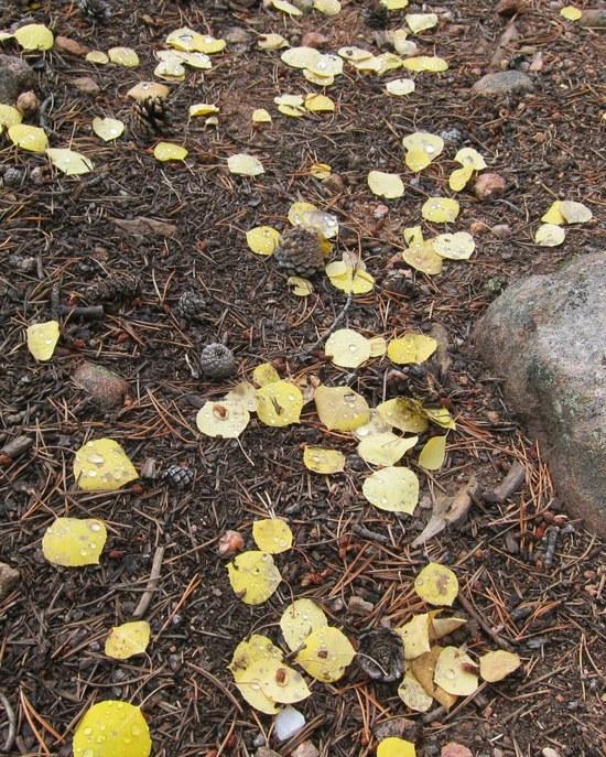
Here's some Aspen leaves with rain drops after the storm.
After stopping to visit with 2 couples at their camp, we got to the CT/Brookside-McCurdy junction (which is at a TH) around 4:45. 2 hours to darkness and 6 miles and 1000' climb to go. No way we'd make it to where I wanted to be. We started down the trail to get a few miles in and look for a spot but had second thoughts and once again returned to the sure thing which was a big dispersed camping site at the TH. But there was nobody there so it worked out fine.
Bed time. Lots of room in the SL3!

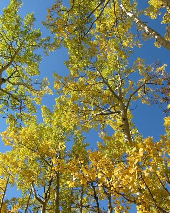
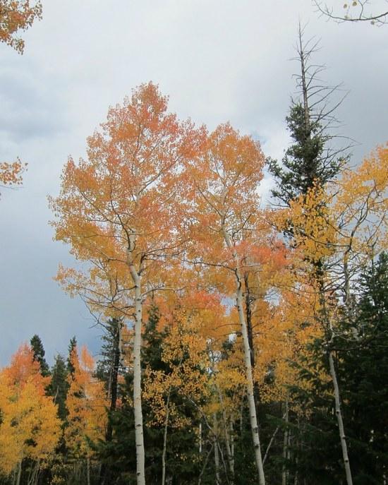
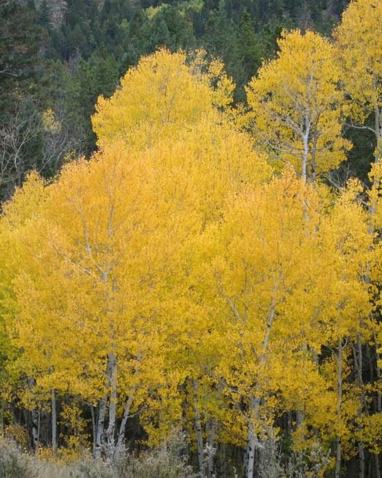
I kind of wanted to get an early start but it was cold when I woke up at 6 and I was toasty in my bag so I slept in again. We only had 15 miles to go and the last 7 were all downhill so time really wasn't an issue. Off we went through lots more Aspens but you can only take so many shots of trees. But here's a couple more. :)
We got back to the TH at 3:30 and called it a weekend. It was a shade under 34 miles with 5700' of elevation gain which is a good workout for me. That's the end of my first trip report. I hope it wasn't too boring!