Last year I set out to yo-yo the northern part of California’s White Mountains from Barcroft Station to Boundary Peak and back. See trip report here . Unfortunately, I ran out of time and turned around at a place call “The Jump Off” and was unable to finish the trip. That was probably a good thing since the last few miles of the traverse over Montgomery Peak and Boundary Peak are really loose and very sketchy. Last weekend (July 22-24) my friend Scott and I decided to make a spur of the moment trip to the north end of the range to make the traverse over those two peaks plus Mt. Dubois. We started the trip in the Chiatovich Creek drainage and finished up at the Trail Canyon trailhead, the primary trailhead for Boundary Peak. This approximately 13 mile trip was about 75% off trail with the trails we were on being unmaintained. It was probably the most difficult 13 miles I have ever hiked with huge climbs, extremely steep descents, and a long stretch of class 3 and above scrambling. Montgomery Peak and Boundary Peak are basically loose piles of rubble. Below are some pictures.

Lupine in Chiatovich Canyon
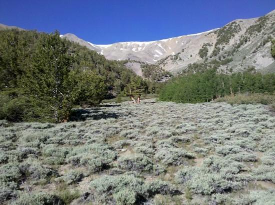
Chiatovich Canyon
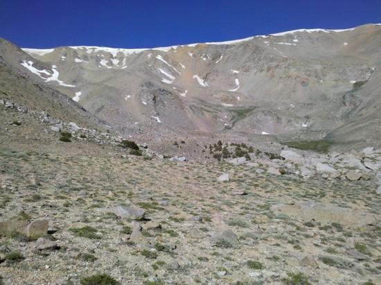
Upper Chiatovich Canyon
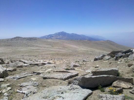
White Mountain Peak from Mt. Dubois (13,559 ft)
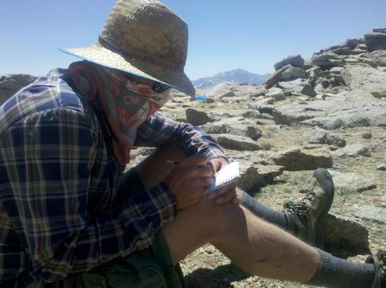
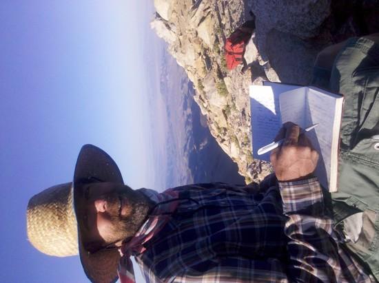
Scott and I were the 6th and 7th people to sign the Mt. Dubois peak register this year.
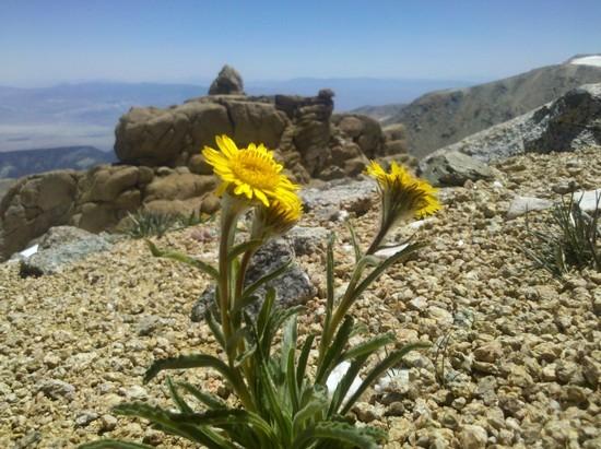
Alpine gold

Crack in the ground at the Jump Off

Montgomery Peak
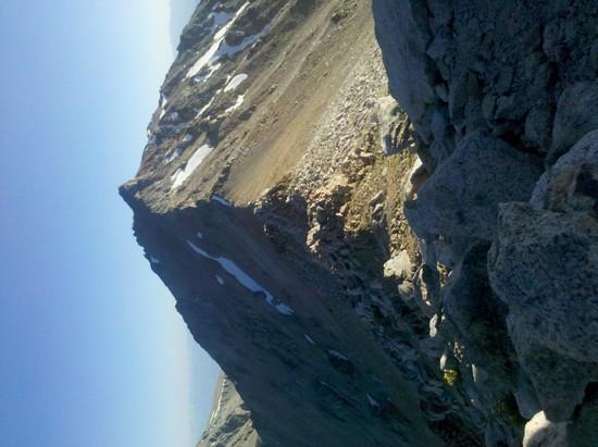
The Jump Off

Along the route up Montgomery Peak. This is close to where Scott was left hanging off a ledge after the ground beneath gave way and caused a slide that traveled several thousand vertical feet down the canyon.

Looking south from the summit of Montgomery Peak
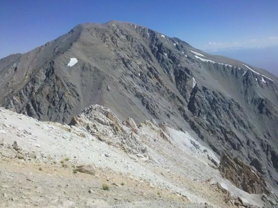
Montgomery Peak, CA from Boundary Peak, NV
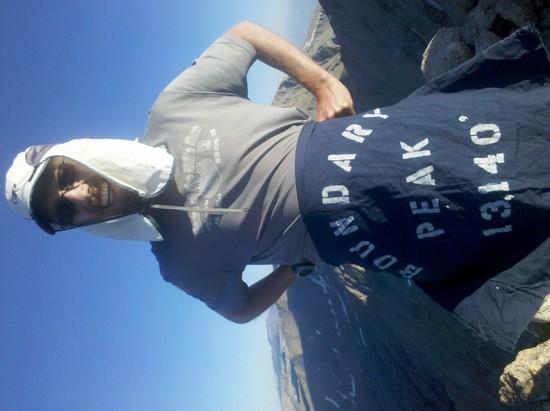
Highest point in Nevada
Scott on Boundary Peak
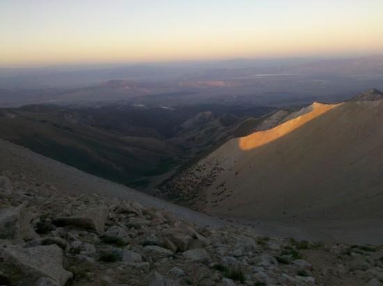
Trail Canyon at sunset
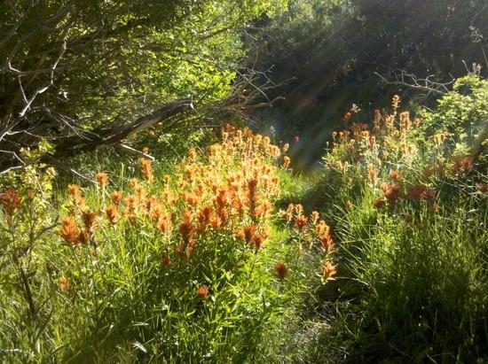
Paintbrush in Trail Canyon

