Country United States
State Arizona
Area Grand Canyon National Park
Trip Month (04) – April
Report / Notes
Have you ever been standing at the rim of the Grand Canyon and wondered what it is like down there? Over 20 years ago I did, when my parents visited during a summer from Germany to see their grandchildren.
It took that long for me to finally venture into the canyon and enjoy its beauty – not just from the rim, but from within. In November 2019 we scored a permit for four nights in the canyon in early April 2020. Last year we were stopped in our tracks by the new pandemic, when the Grand Canyon National Park was closed a couple of days before we left our home to drive all the way to the Grand Canyon. Luckily the park service gave us preferred treatment when things opened again and we got basically the same permit for April 2021. Yeah!
Over the years I have backpacked a lot in colder climates like the Sierra here at home or Alaska, Iceland and Scotland, but not in desert climates. Thus, we put some extra thought into our water consumption in higher temperatures, the location of water sources and bringing electrolytes.
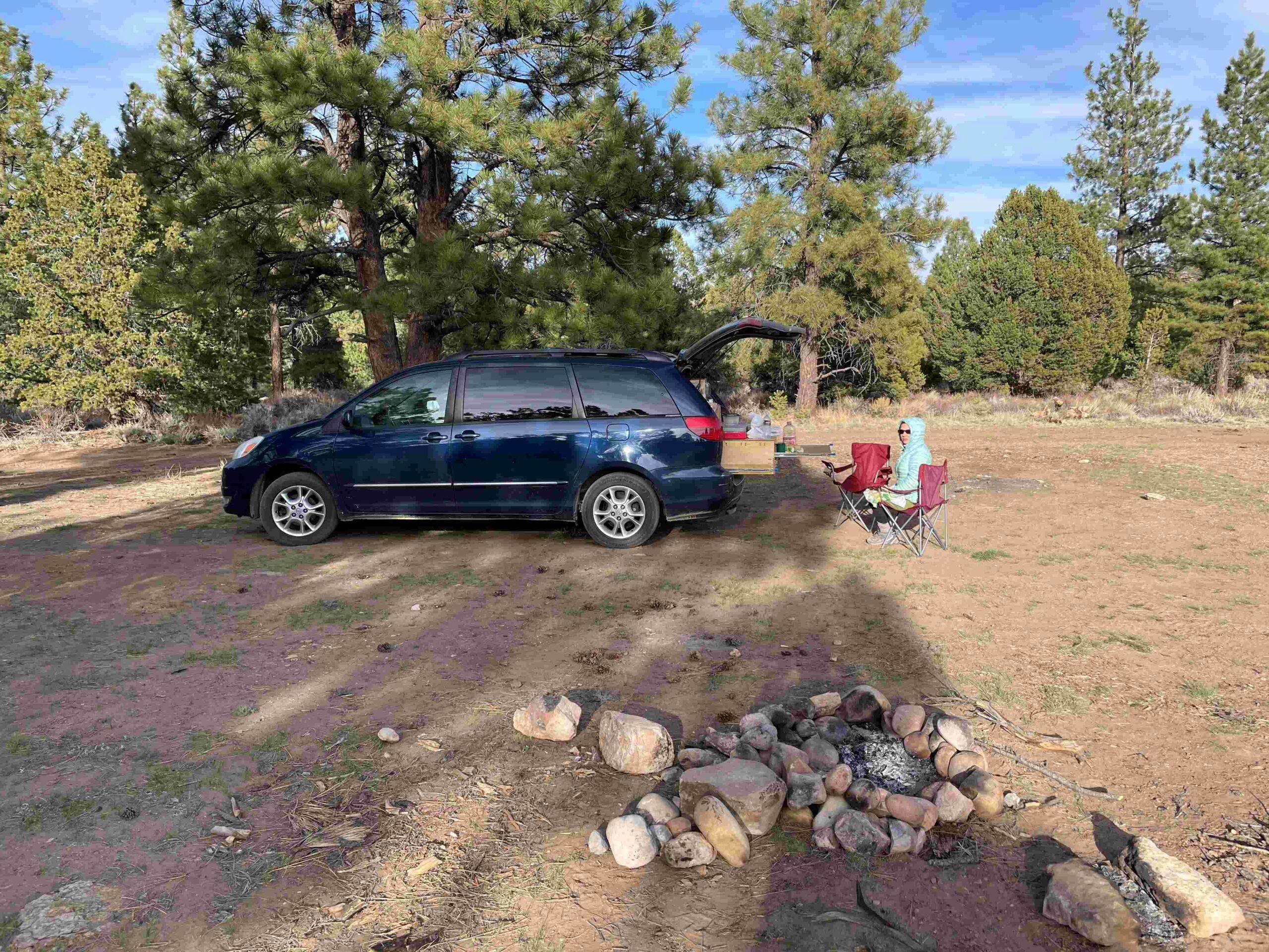
We took a week to travel in our ‘adventure mobile’, …
Picture 1: This new BPL website seemingly doesn’t allow my usual style of trip report with pictures being an integral part of my trip report. Now you have to look at Picture 1 in the photo gallery below to see our adventure mobile. The same is true for all following pictures. I would include them in the text if I could.
… a Toyota Sienna that we converted, to the Grand Canyon, stopping along the route in different national forests for day hikes and free overnight stays.
DAY 1: SOUTH KAIBAB TRAIL DOWN TO THE COLORADO RIVER
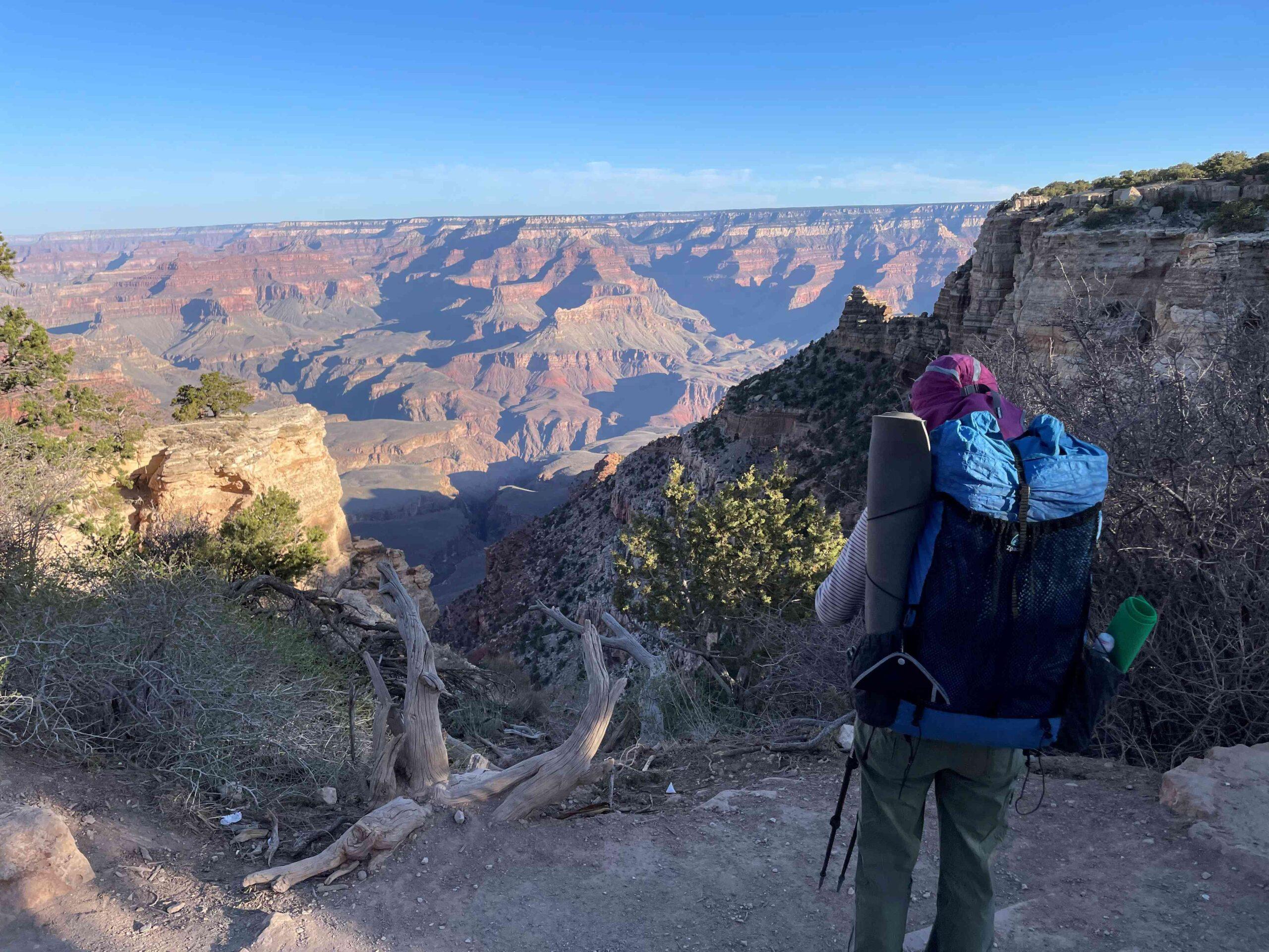
After our last night in the Kaibab National Forest just outside of the Grand Canyon National Park’s South Entrance, we finally stood at the rim … Picture 2… after taking the Hiker’s Expressat 6 am from the Backcountry Information Center to the South Kaibab trailhead.
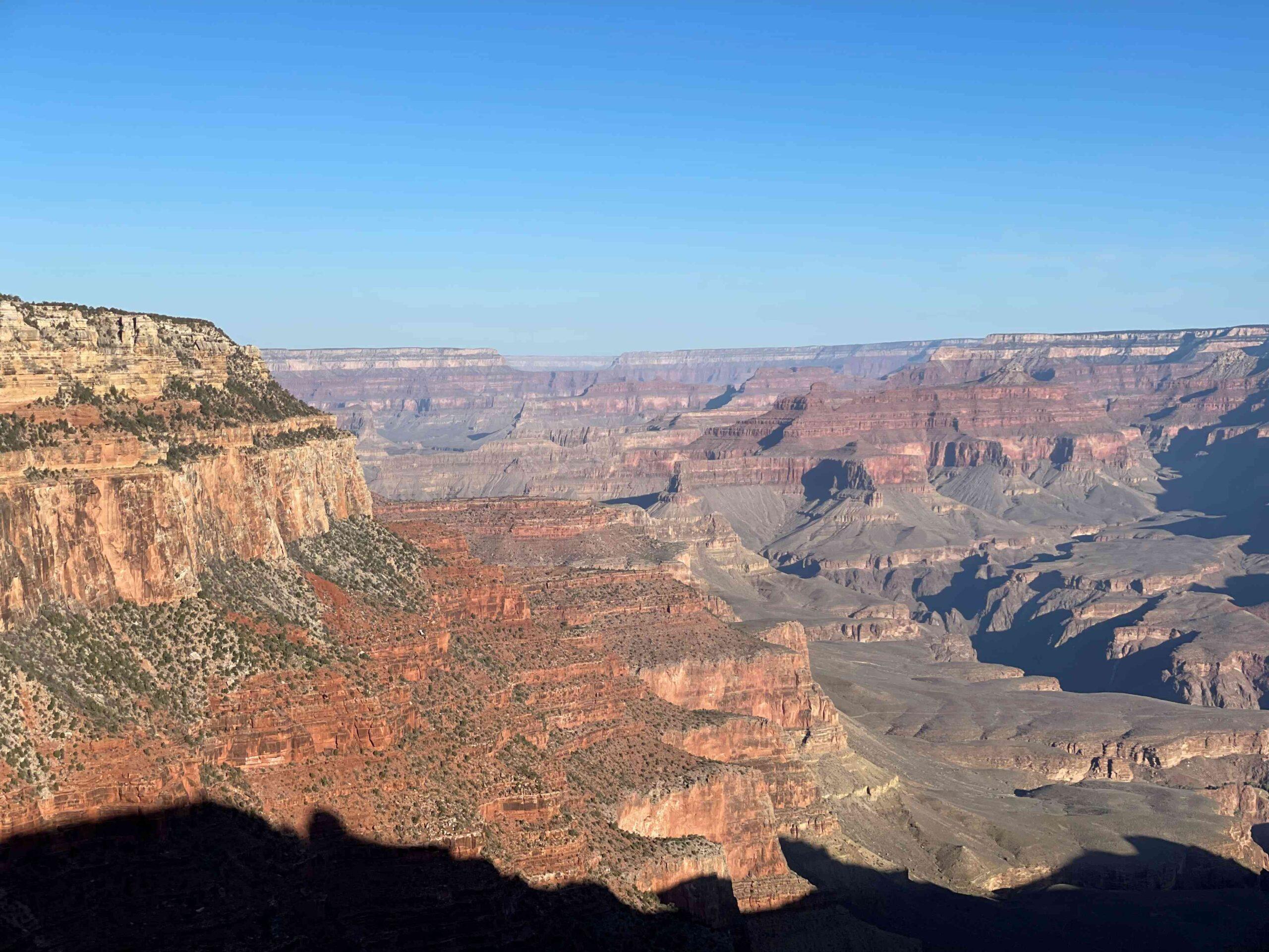
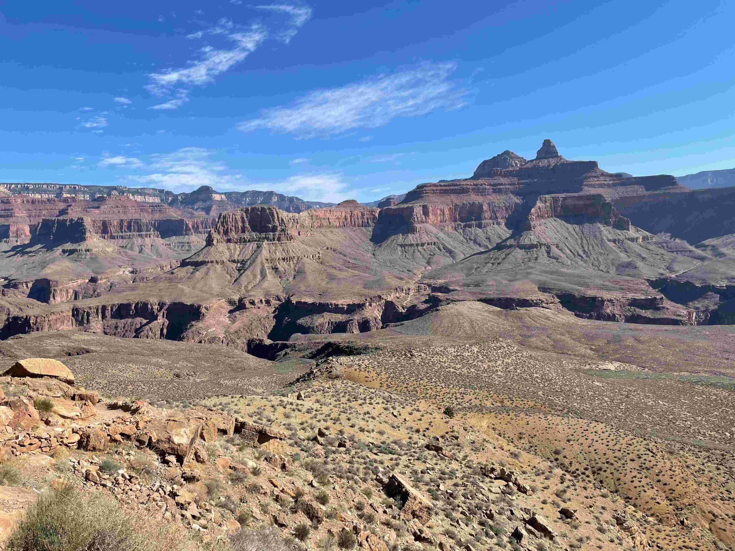
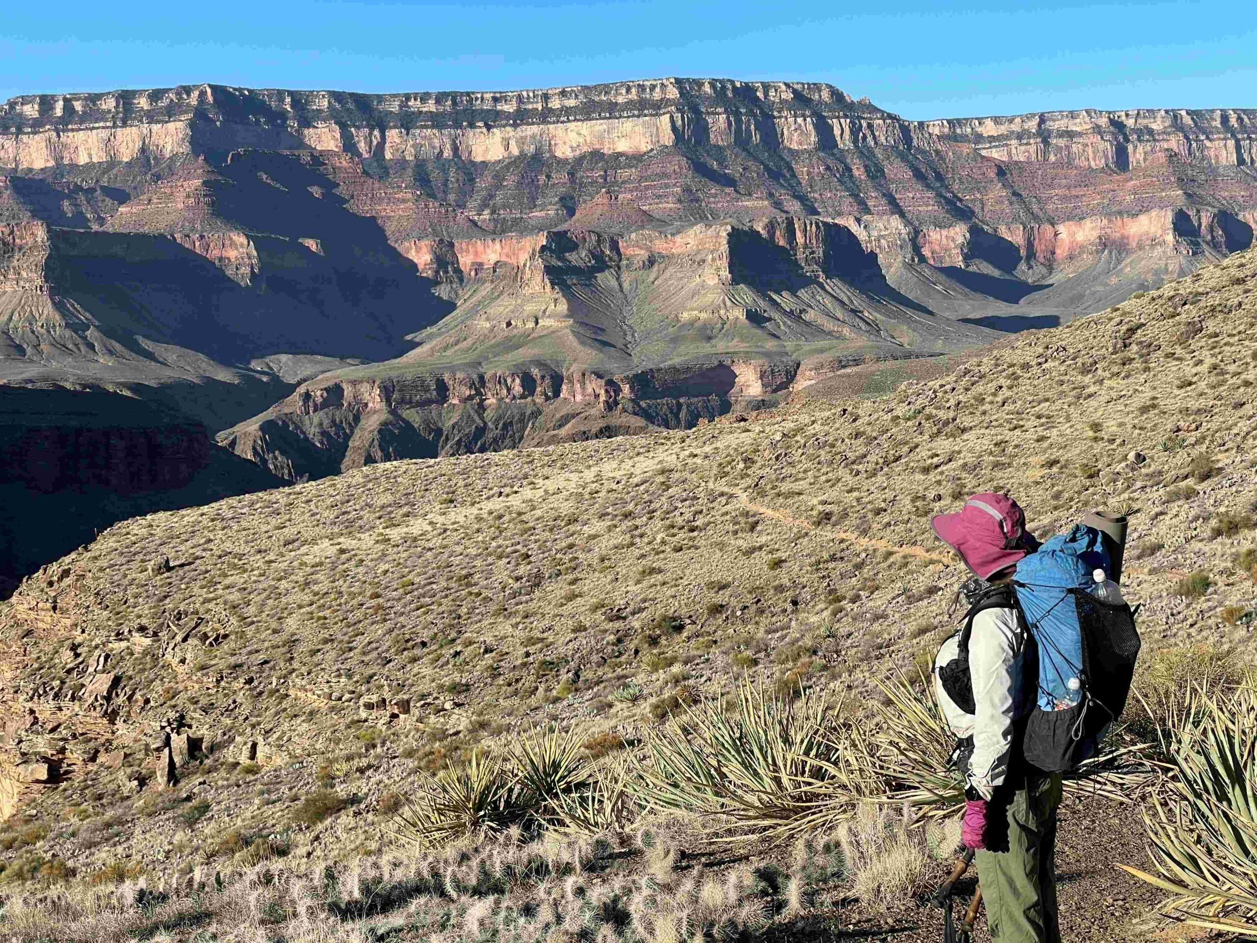
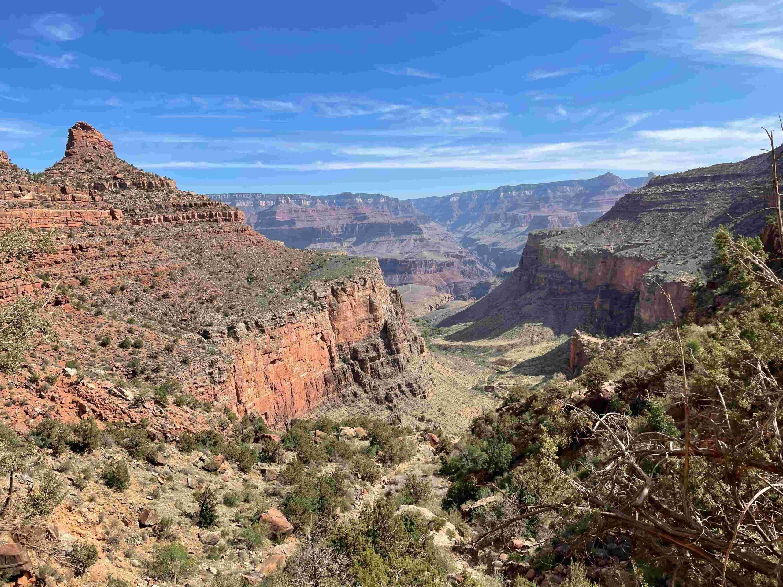
When we started our hike we could see across the canyon, … Picture 3 … but had no idea where the Colorado River was, that had carved this canyon.
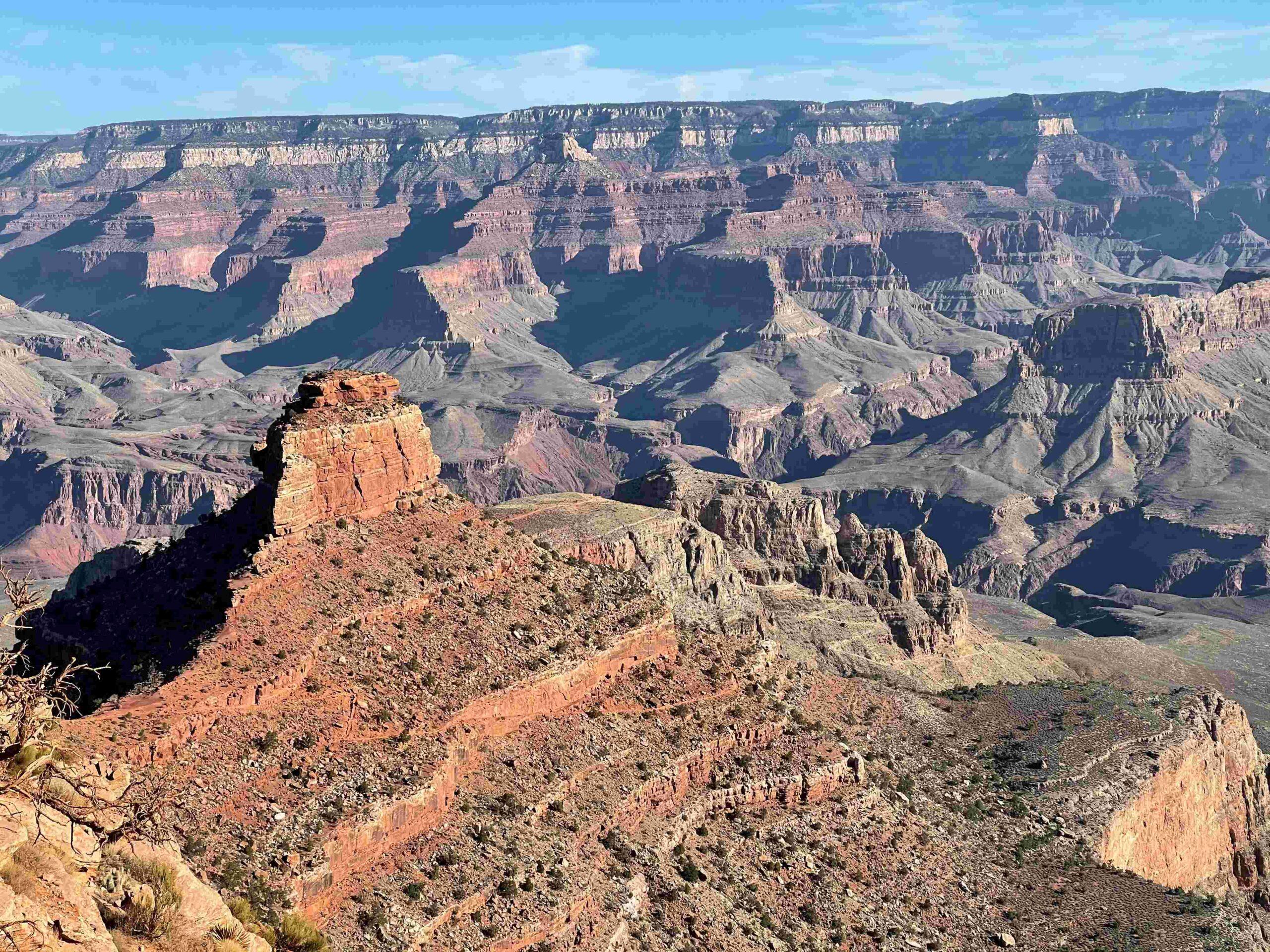
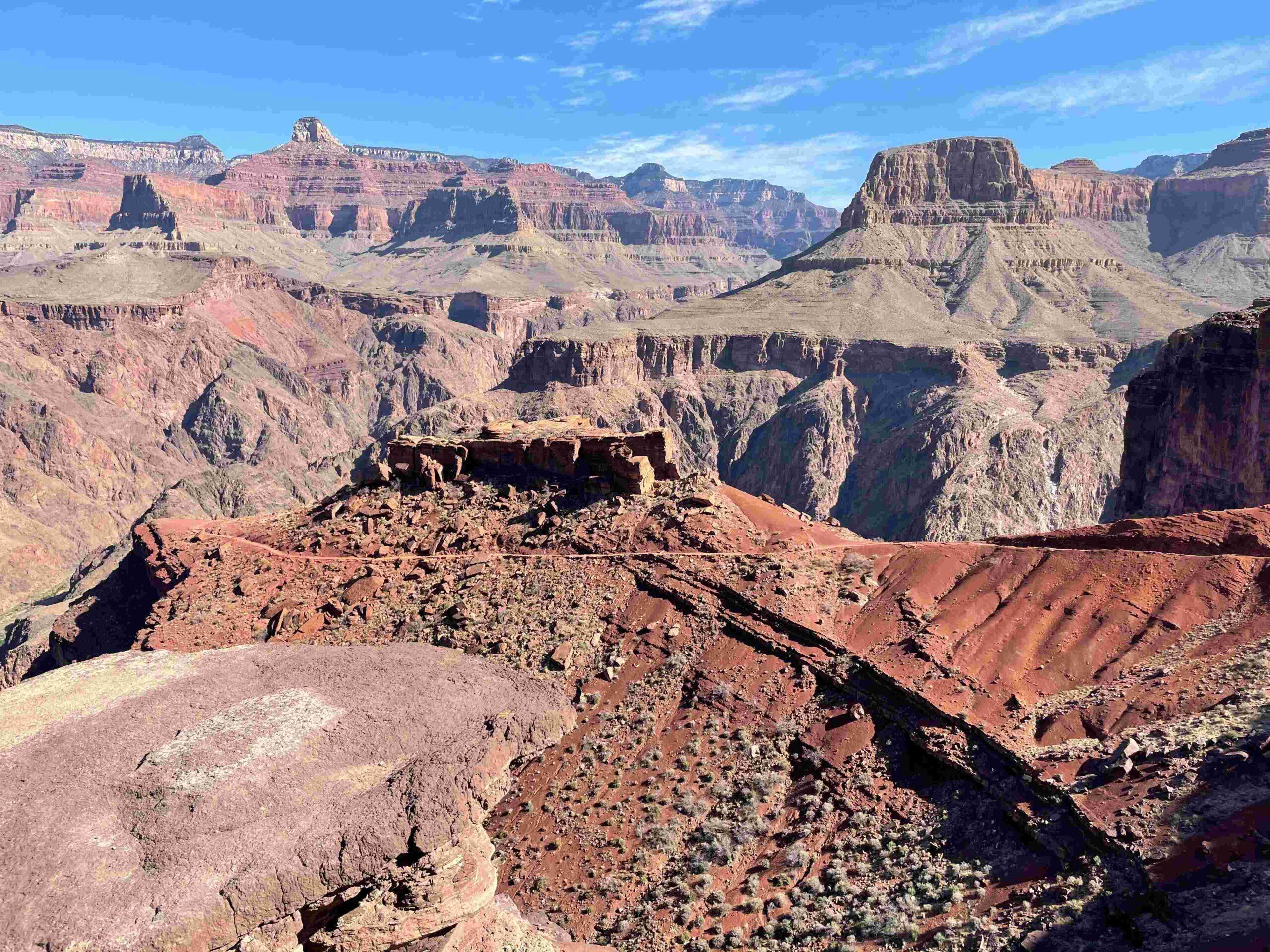
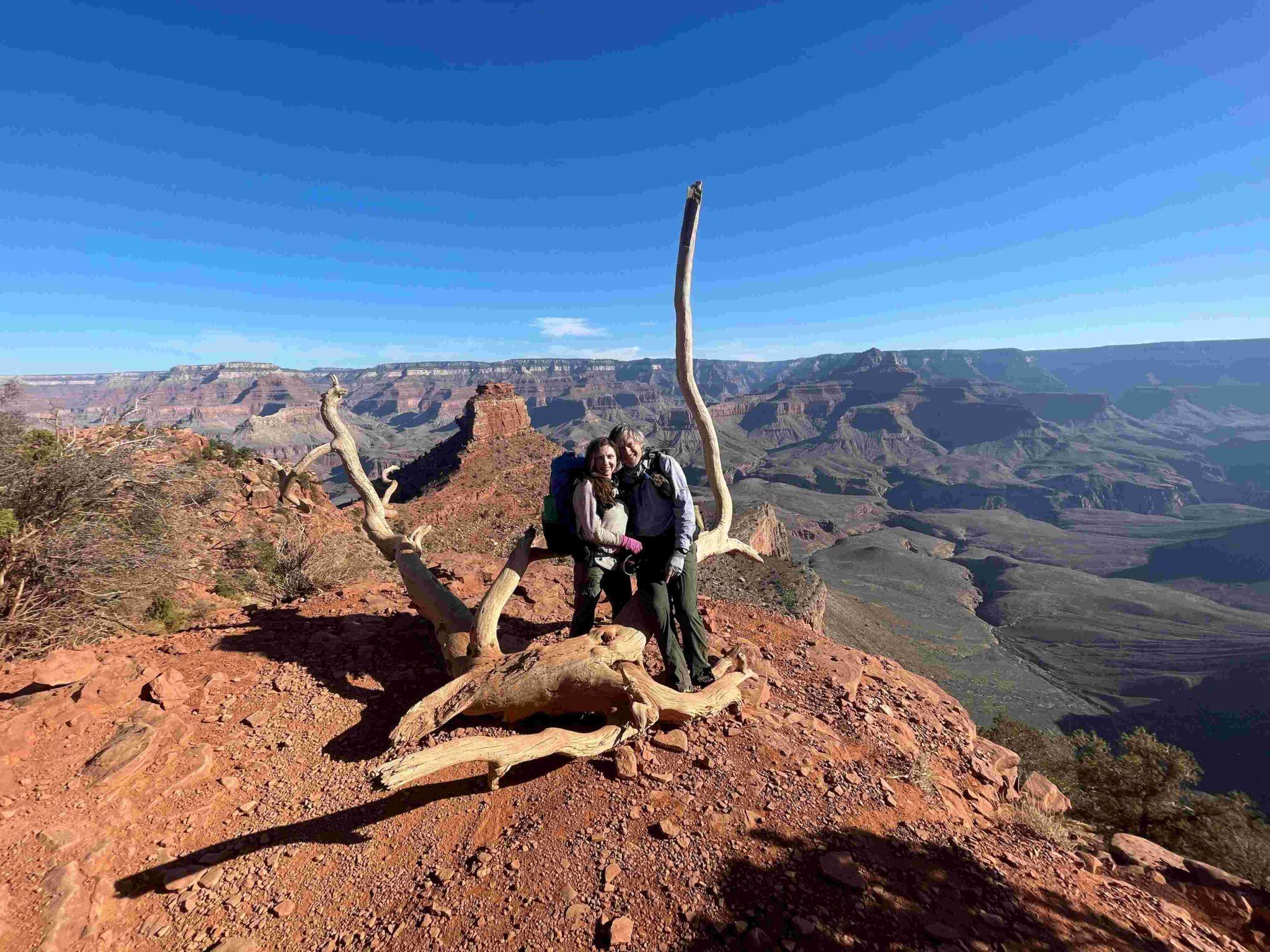
For the first mile to Ooh Aah Point we shared the trail with many day hikers. After they took their photos of O’Neill Butte at Ooh Ahh Point … Picture 4 … the trail emptied and hiking became a joy – as we didn’t have to listen to competing Bluetooth speakers any longer.
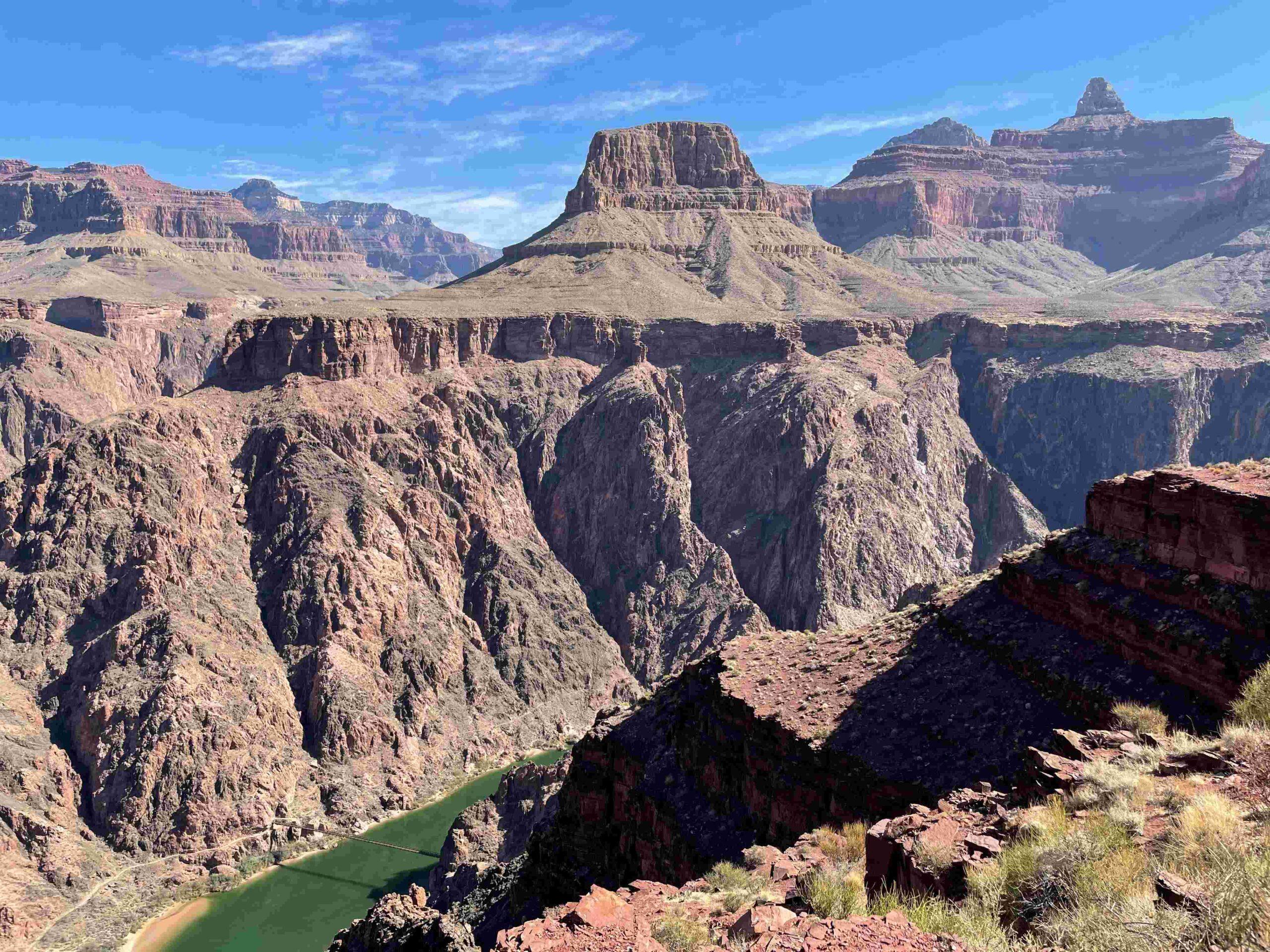
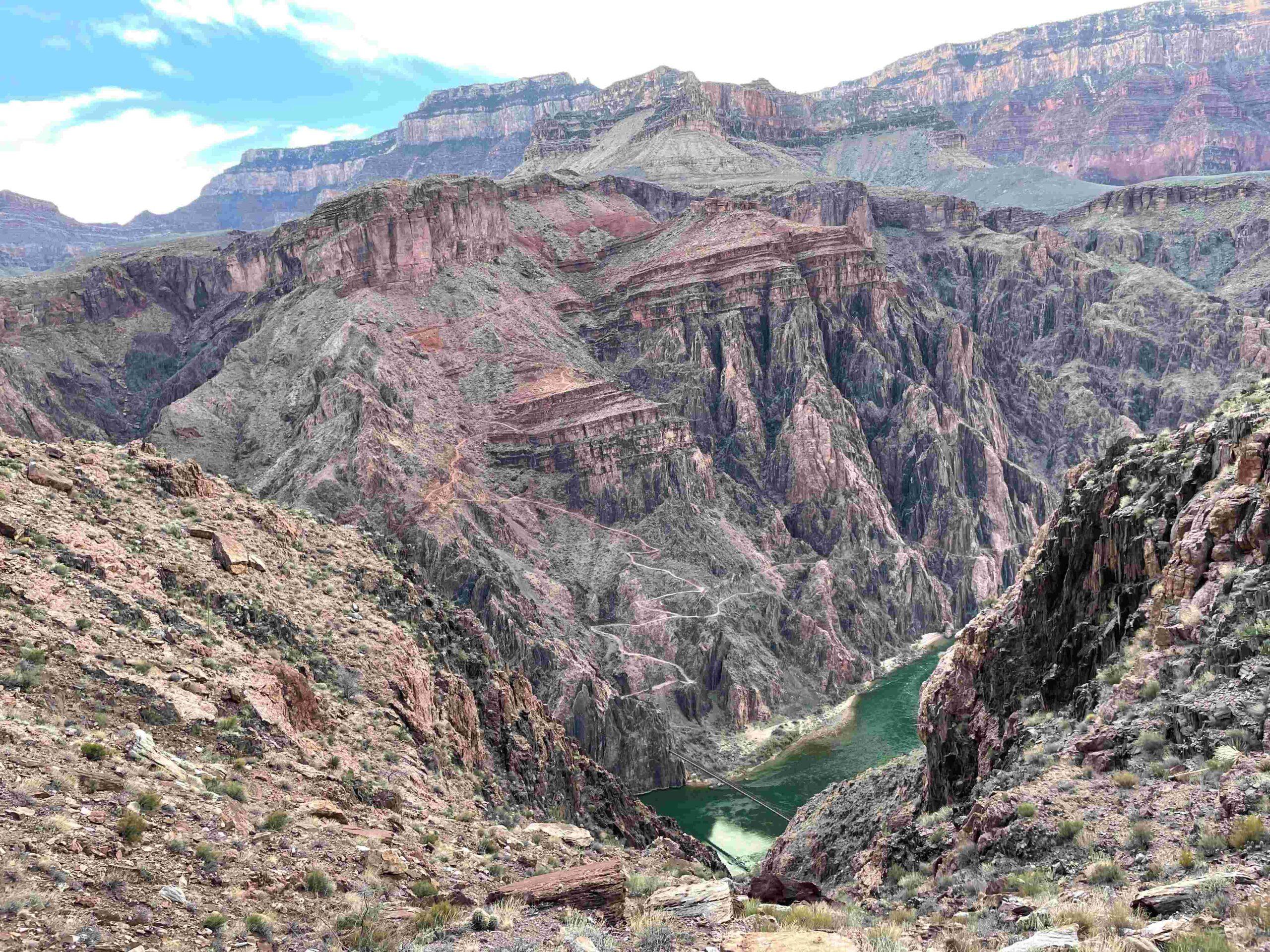
The next two miles felt like a never-ending series of Ooh-Aah Points as we were constantly stopping to take photos until we suddenly saw … Picture 5 … the Colorado River for the first time when reaching Skeleton Point.
That created an immense anticipation as we could now see our destination for our first night in the Canyon – Bright Angel Creek (in the shade in the right lower corner of the photo).
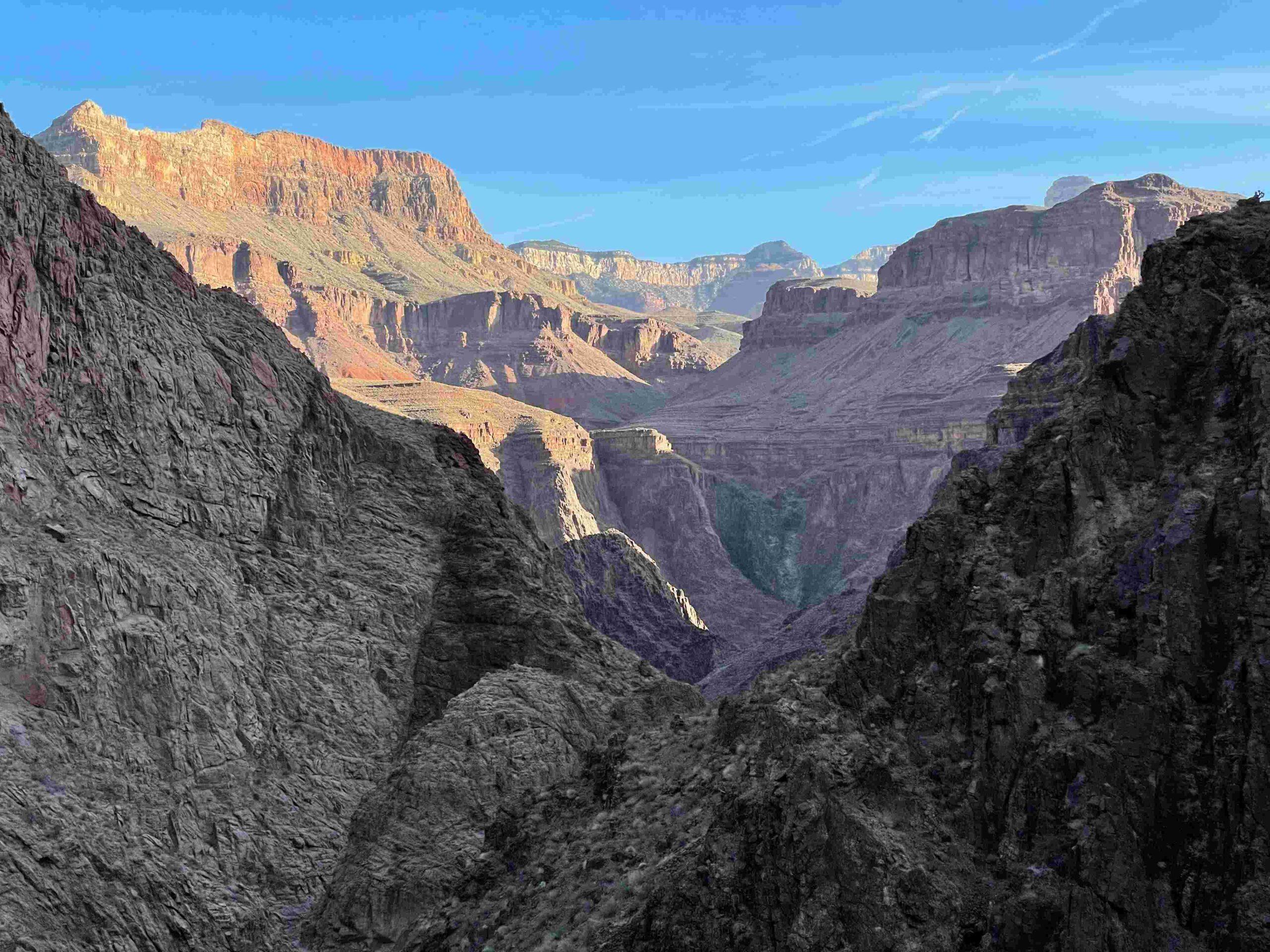
We were equally fascinated by the river – our destination for the night – and what we could see beyond, … Picture 6 … like the Brahma Temple and the Zoroaster Temple.
The Tipoff provided us with great views of … Picture 7 … the Shiva Temple, Isis Temple and Cheops Pyramid.
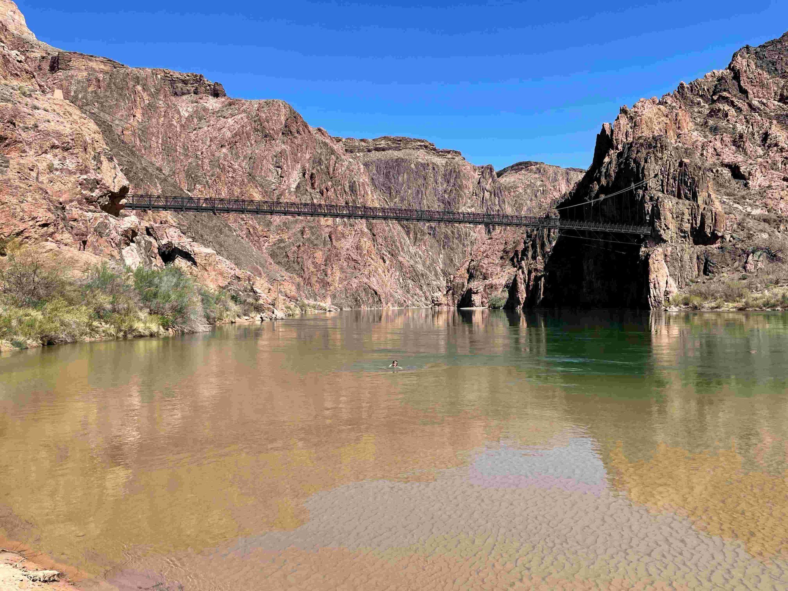
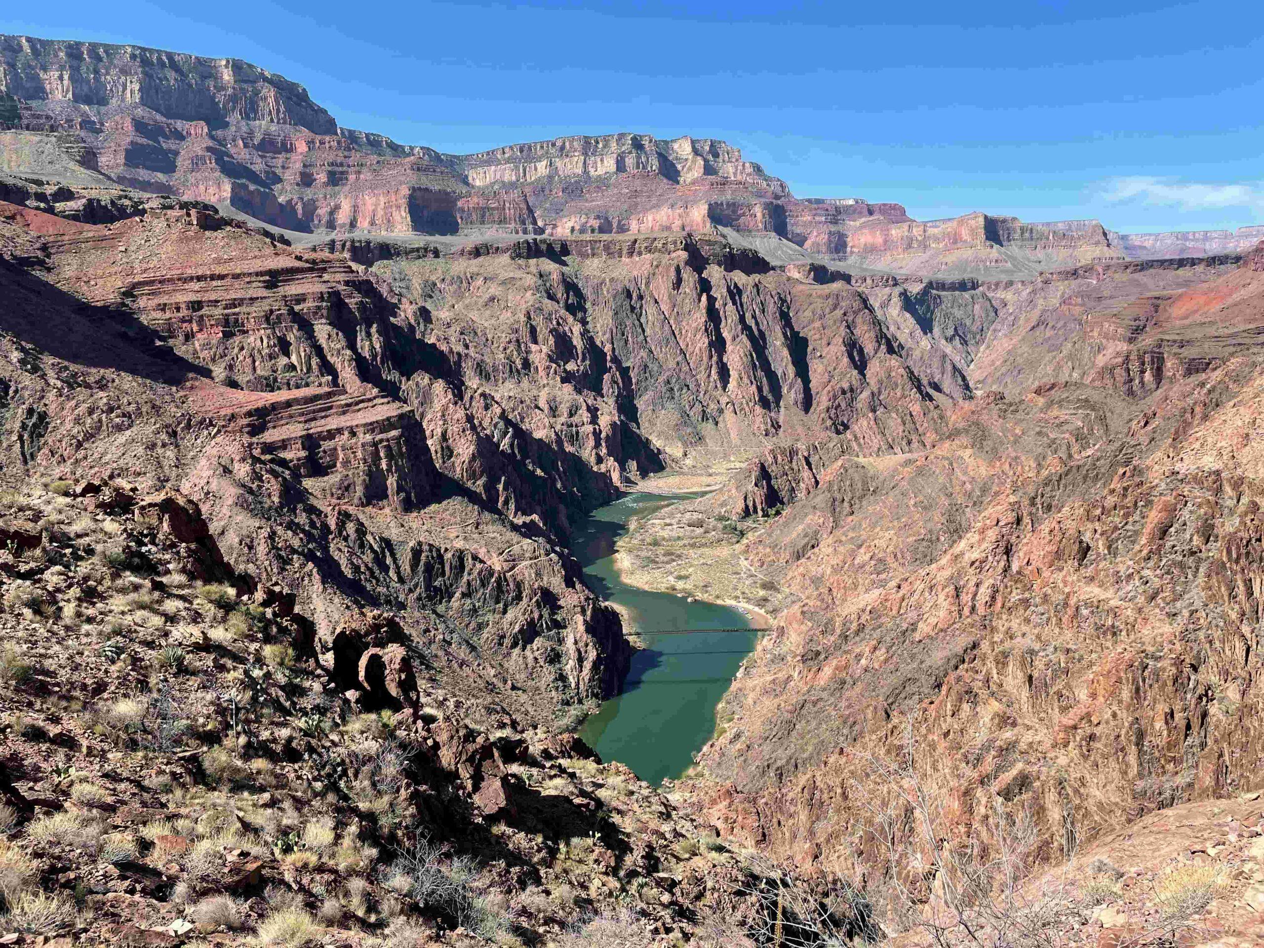
Black Bridge came into view after the next bend … Picture 8 … Across the Colorado River we could see Sumner Butte and Zoroaster Temple. In 1928 it took 42 Havasupai tribesmen walking single file to carry the one-ton, 550-foot suspension cables for the Black Bridge down to the Colorado River.
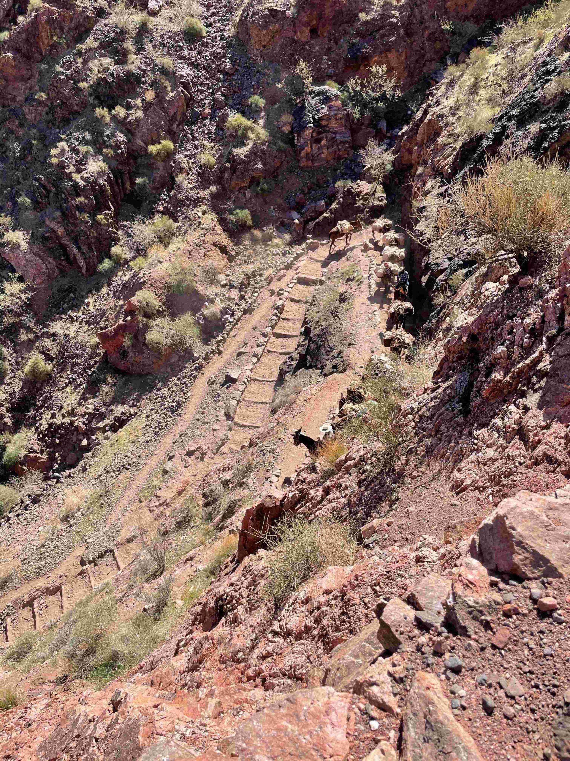
Before we reached the bridge, we were passed by a mule train. The rule for hikers is to stand on the uphill side, which is a tight spot when having a backpack on and being passed by … Picture 9… mules loaded with crates.
We wondered how we can stand between the mules and the wall, but the mules passed us without incident and we finally made it across the bridge to the Colorado River for a … Picture 10 … refreshing swim.
It had taken us less than 3 hours to hike down to the Colorado River and by now it was already 91.4F. We were glad for our early start – not only because we hiked during the cooler part of the day, but also because we could pick our campsite from almost all campsites at Bright Angel Camp. We chose one with the most shade. By lunch that shade was completely gone, and we went for another swim to cool off.
DAY 2: CLEAR CREEK TRAIL TO CLEAR CREEK AND DOWN TO COLORADO RIVER
Once again, we got up early to make good use of cooler morning temperatures. Our first goal for the day was Clear Creek – 11 miles and 3,000 ft of climb away.
From the Clear Creek Trailhead we looked back … Picture 11 … down Bright Angel Creek across to the South Rim.
Once we gained elevation, we had a beautiful view back to the Black Bridge across the Colorado River … Picture 12 … and the South Kaibab Trail on the other side coming down from the South Rim.
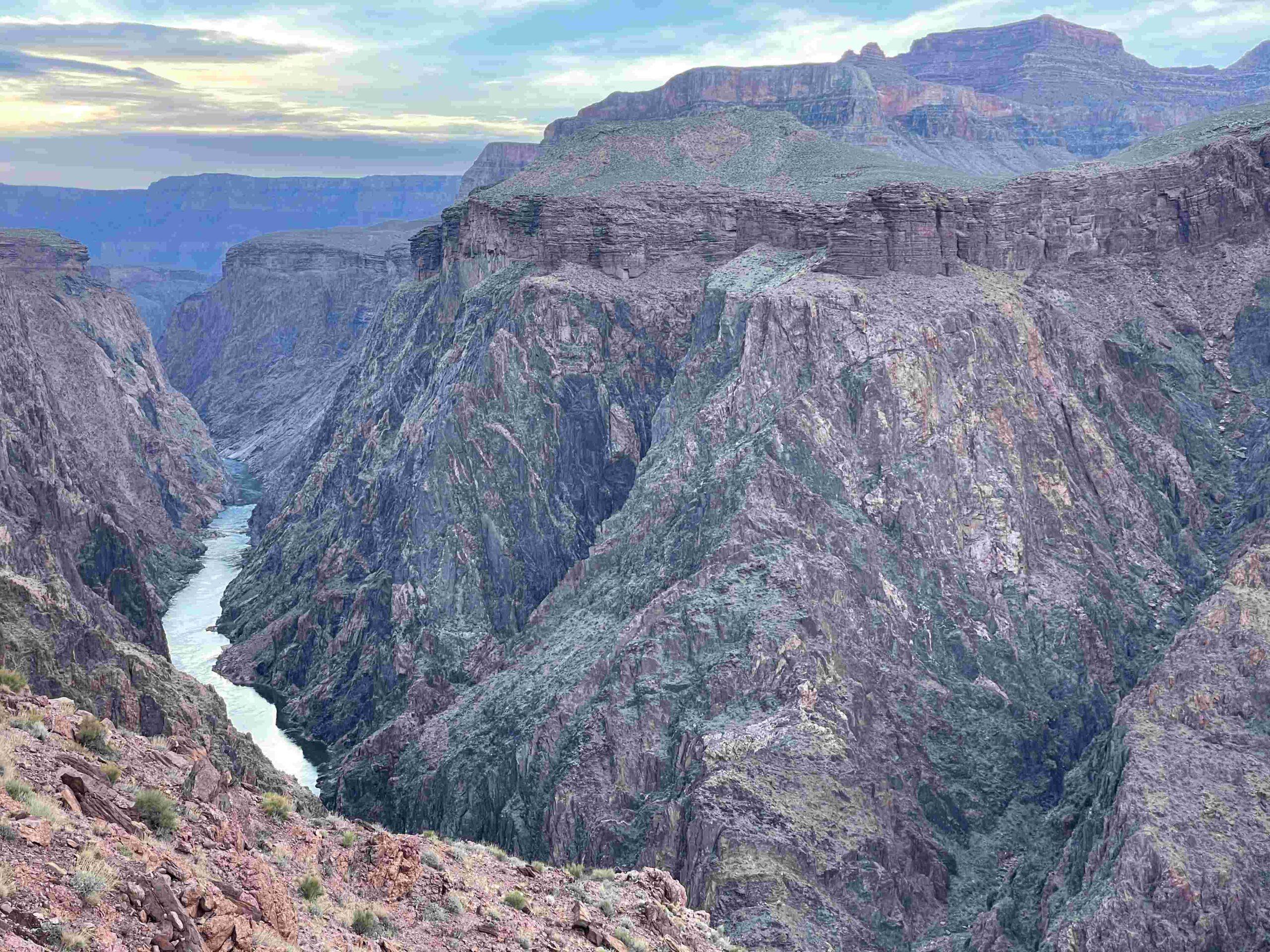
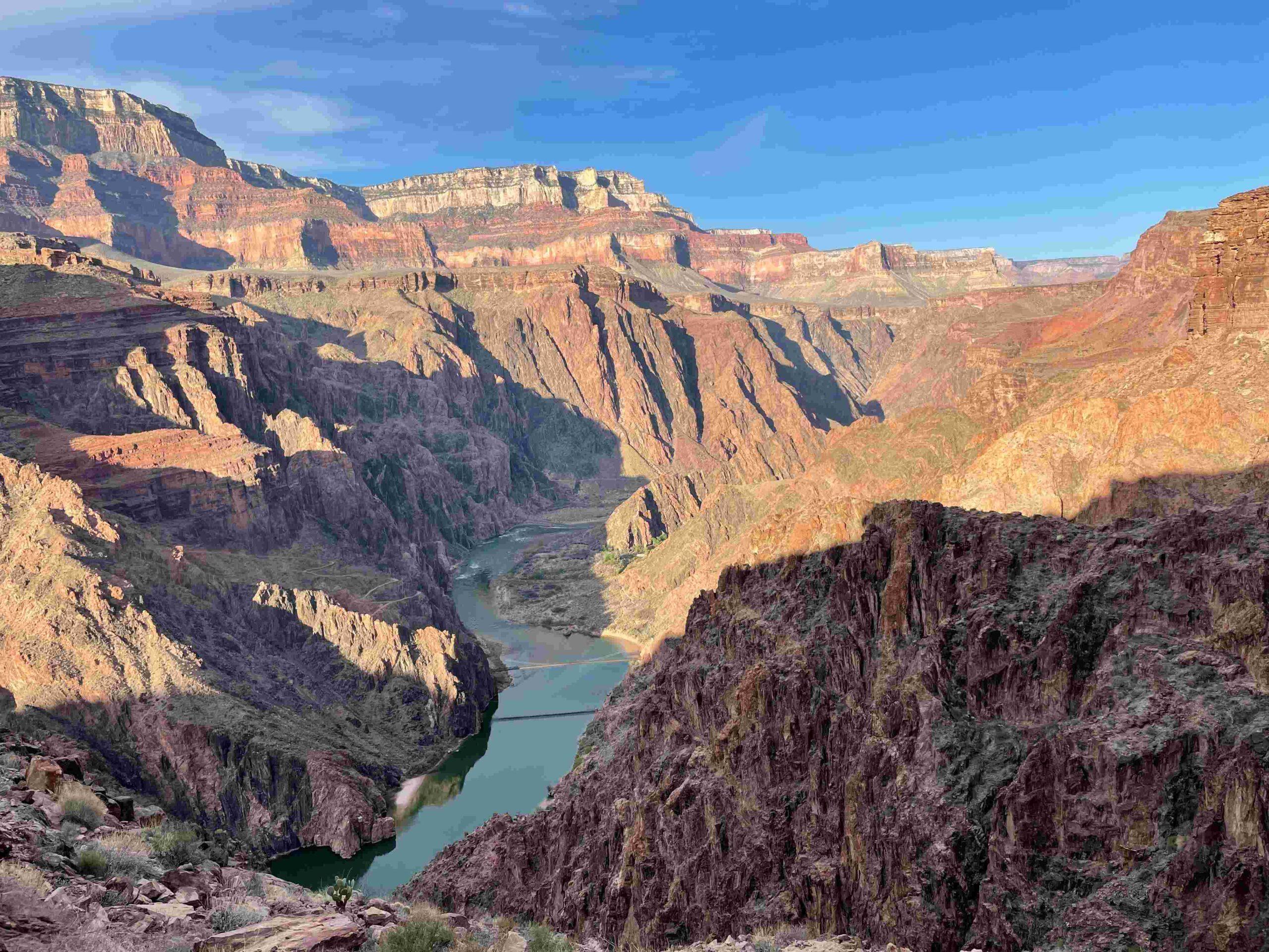
The view forward showed us the Colorado River … Picture 13 … flowing through Granite Gorge. Our plan for today was to make it down to the river somewhere there.
While progressing towards our destination we kept looking back again and again to enjoy … Picture 14 … how the colors on the South Rim changed with the rising sun.
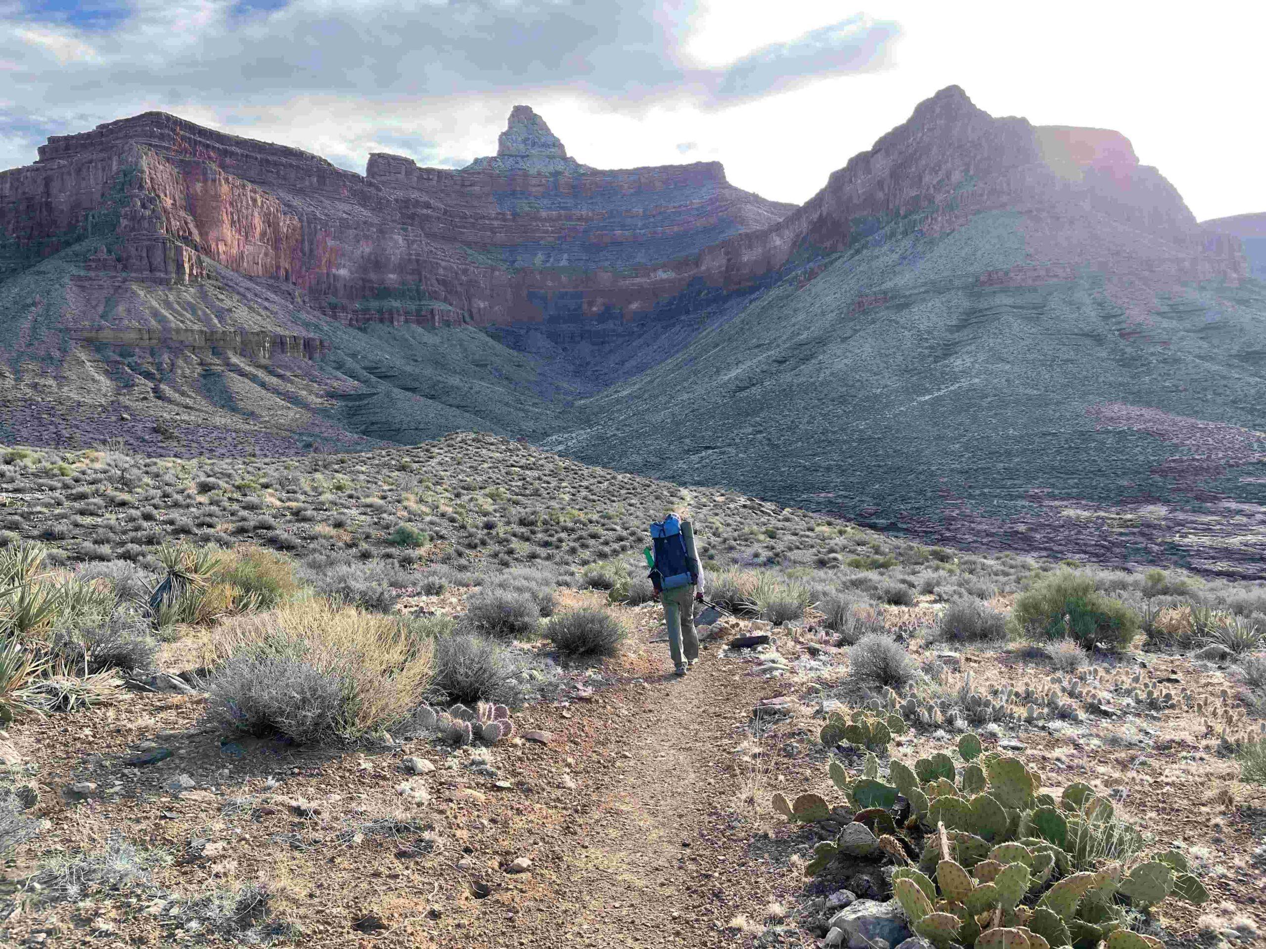
Eventually our attention was drawn to … Picture 15 … the Zoroaster Temple
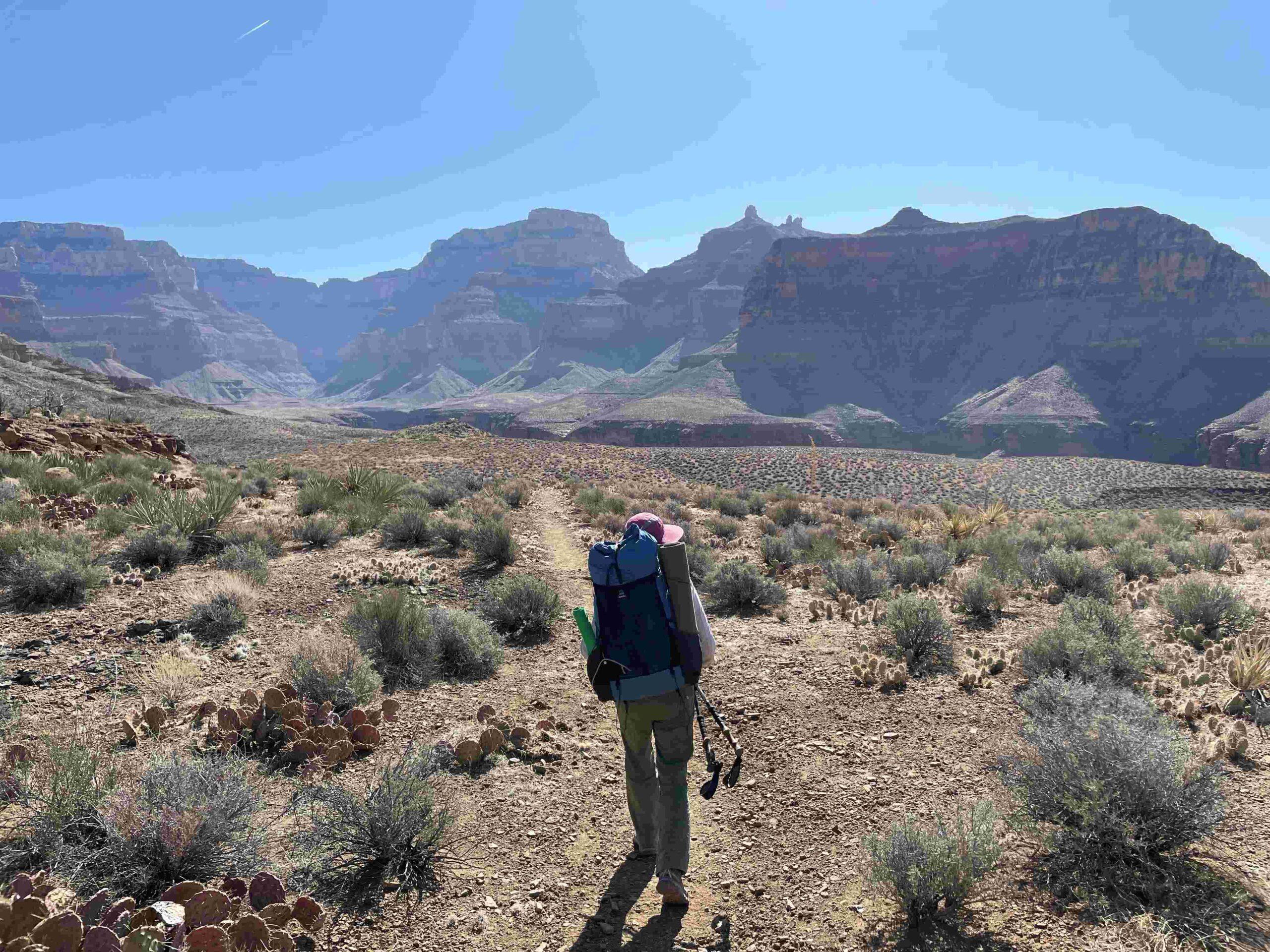
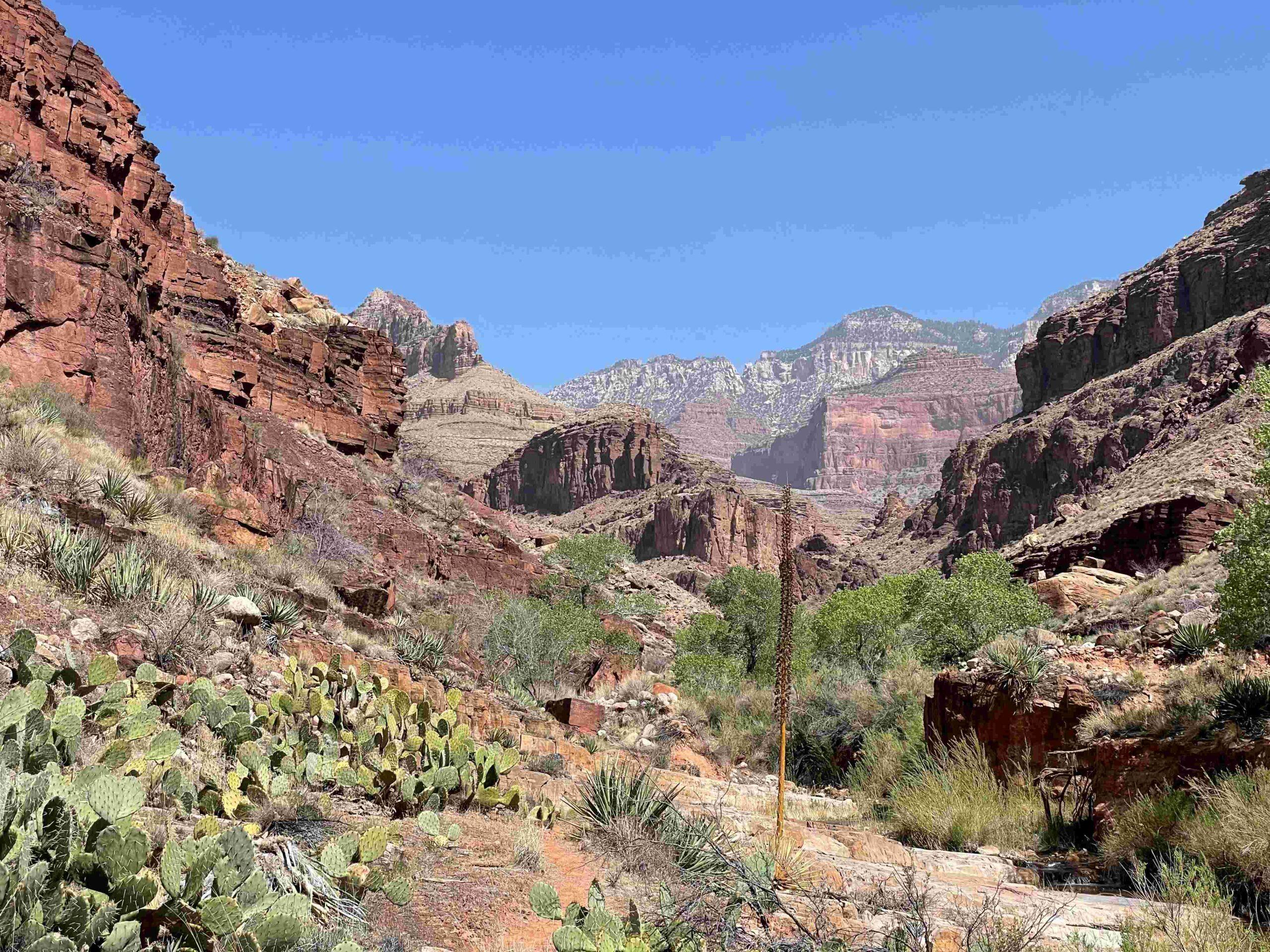
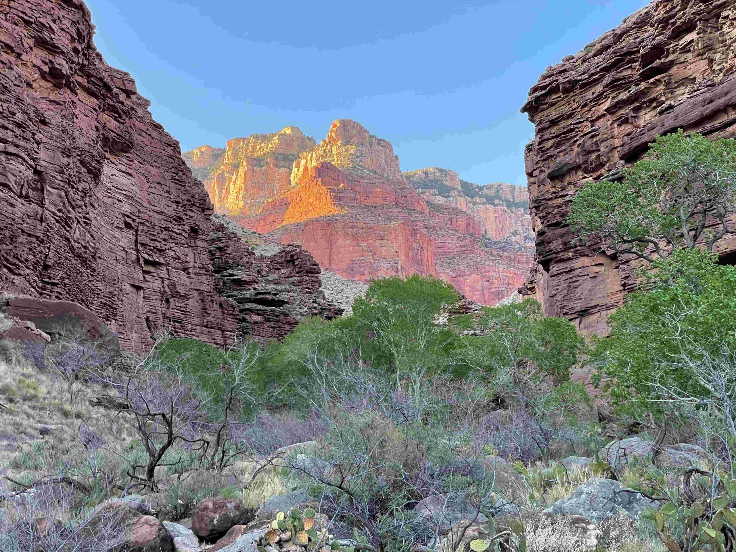
Once we got close to the side canyon that Clear Creek flows in, … Picture 16 … we admired the view of Wotan’s Throne, Angels Gate and The Howlands Butte
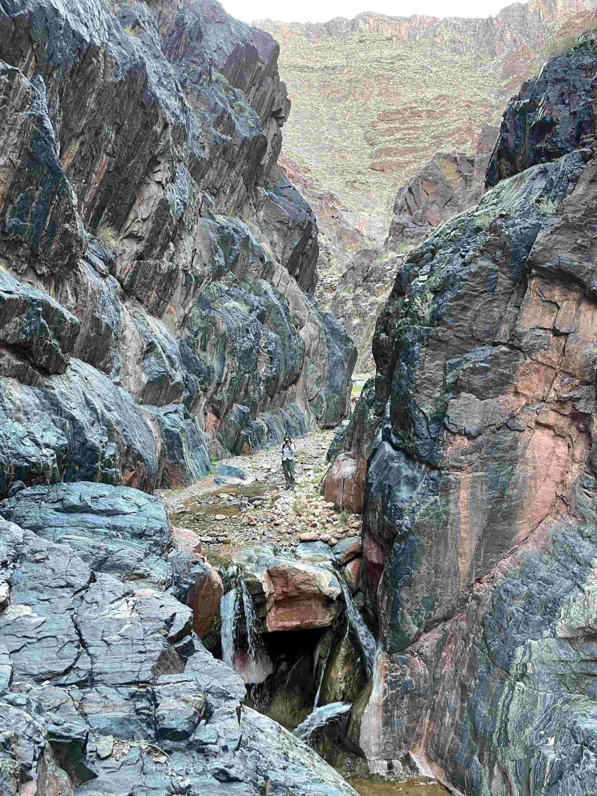
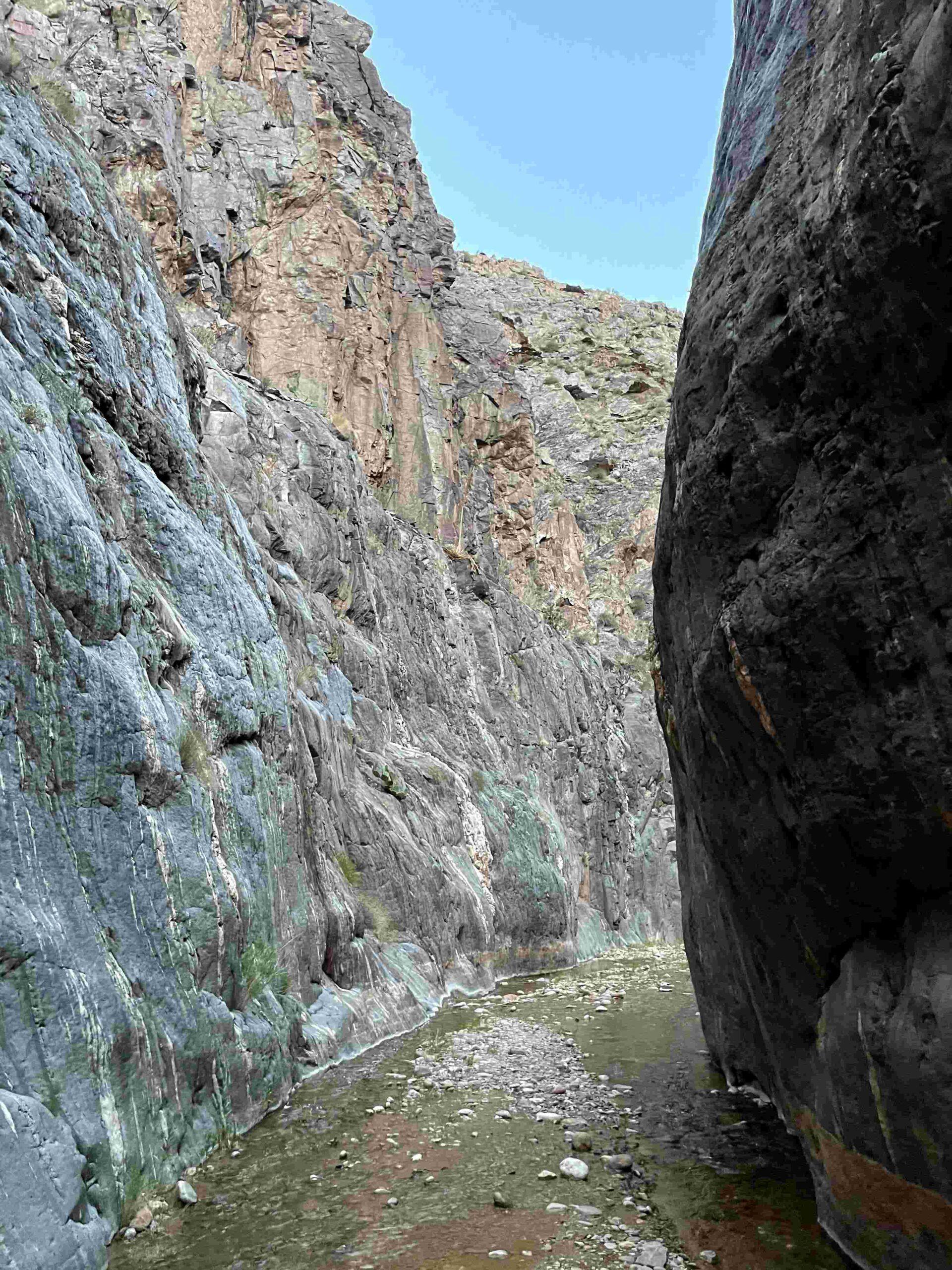
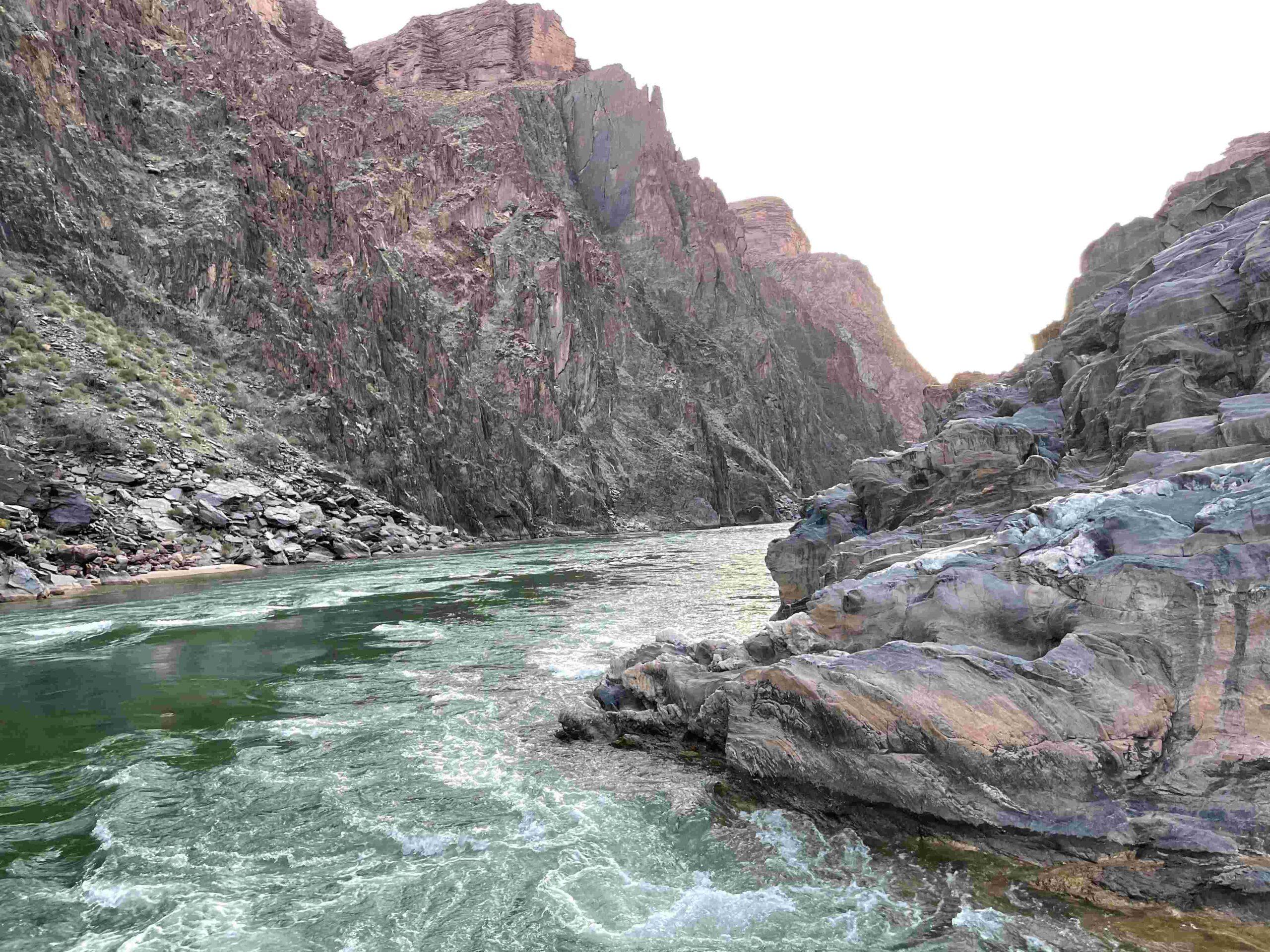
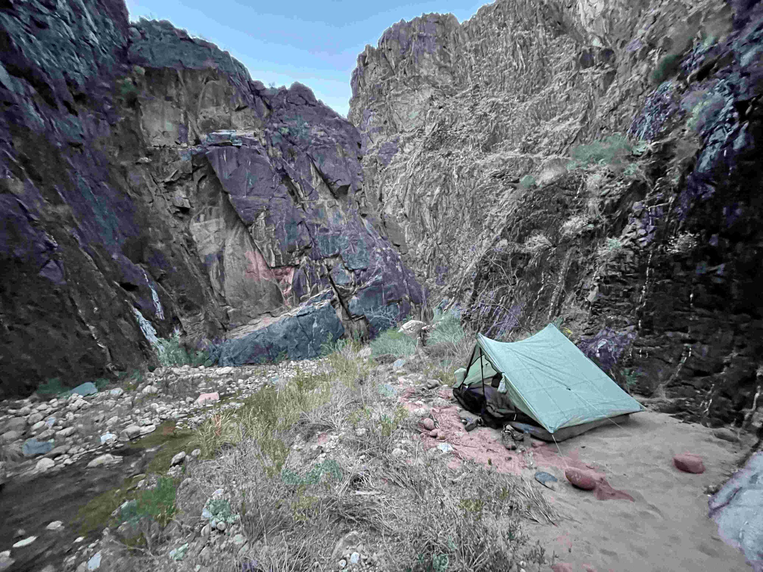
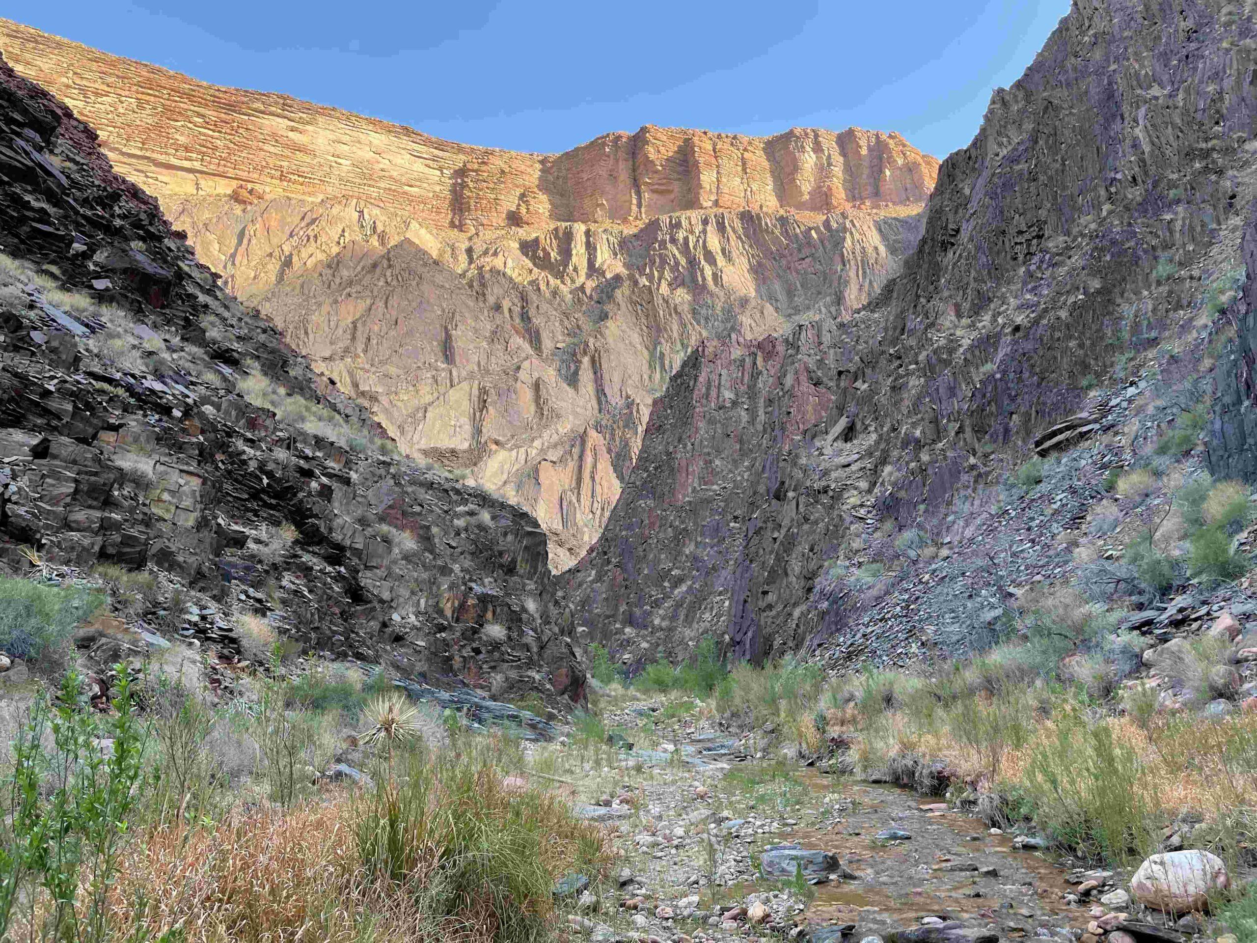
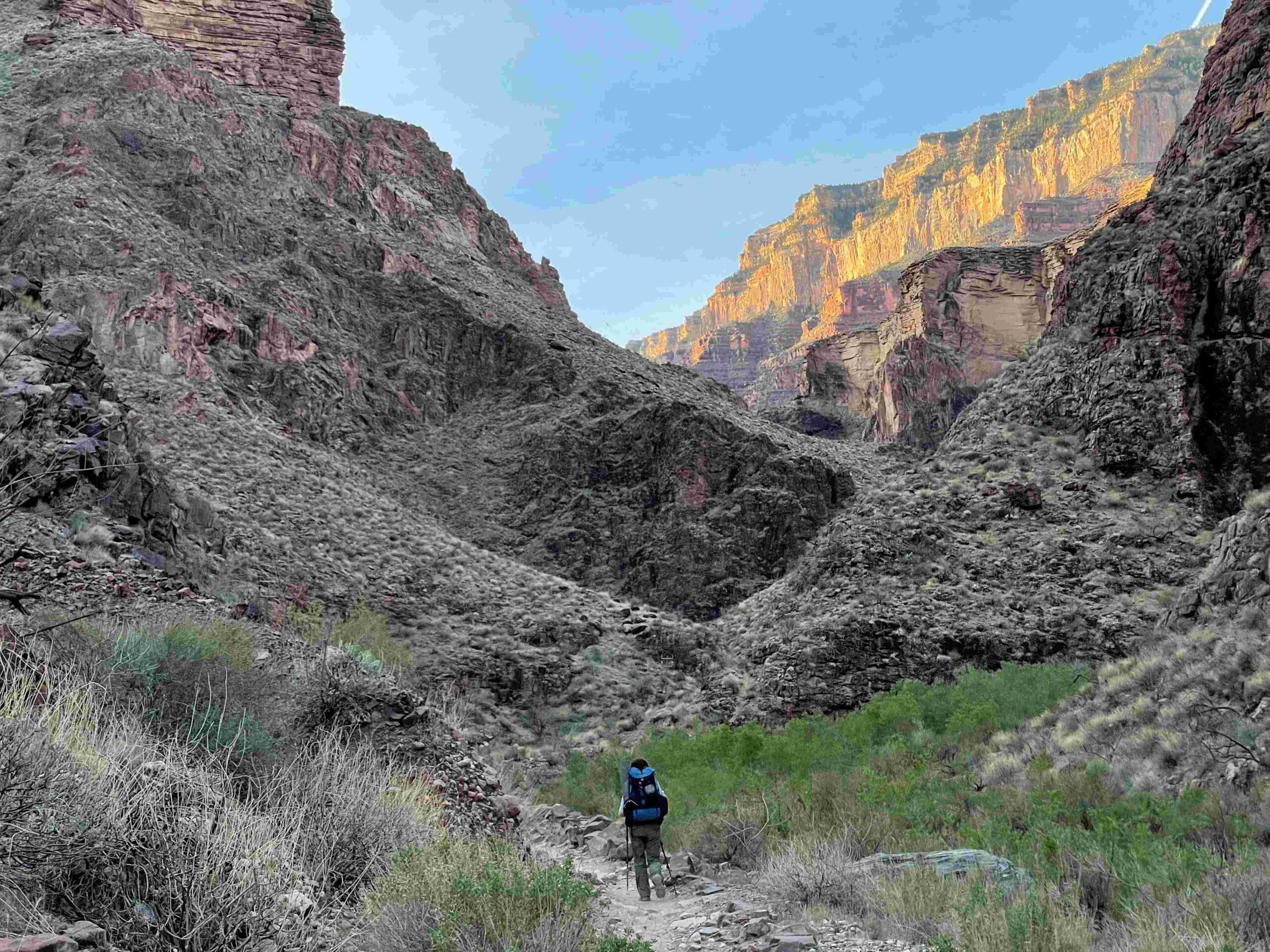
The hike down Clear Creek was a nice change from the prior heat that had gone up to 102.2F. We enjoyed the walk in the canyon until … Picture 17 … we came to a waterfall. It took us a while to figure out a way to climb down and continue through … Picture 18… this narrow canyon until we finally … Picture 19 … reached the Colorado River which was rushing through the Granite Gorge. This was certainly no place for a leisurely swim. Now we went back along Clear Creek until we found … Picture 20 … a flat spot for our tent.
Day 3: CLEAR CREEK FROM COLORADO RIVER TO CHEYAVA FALLS
Today we planned to explore Clear Creek upstream from the Colorado River all the way to Cheyava Falls – the tallest waterfall in the Grand Canyon at over 800 feet high.
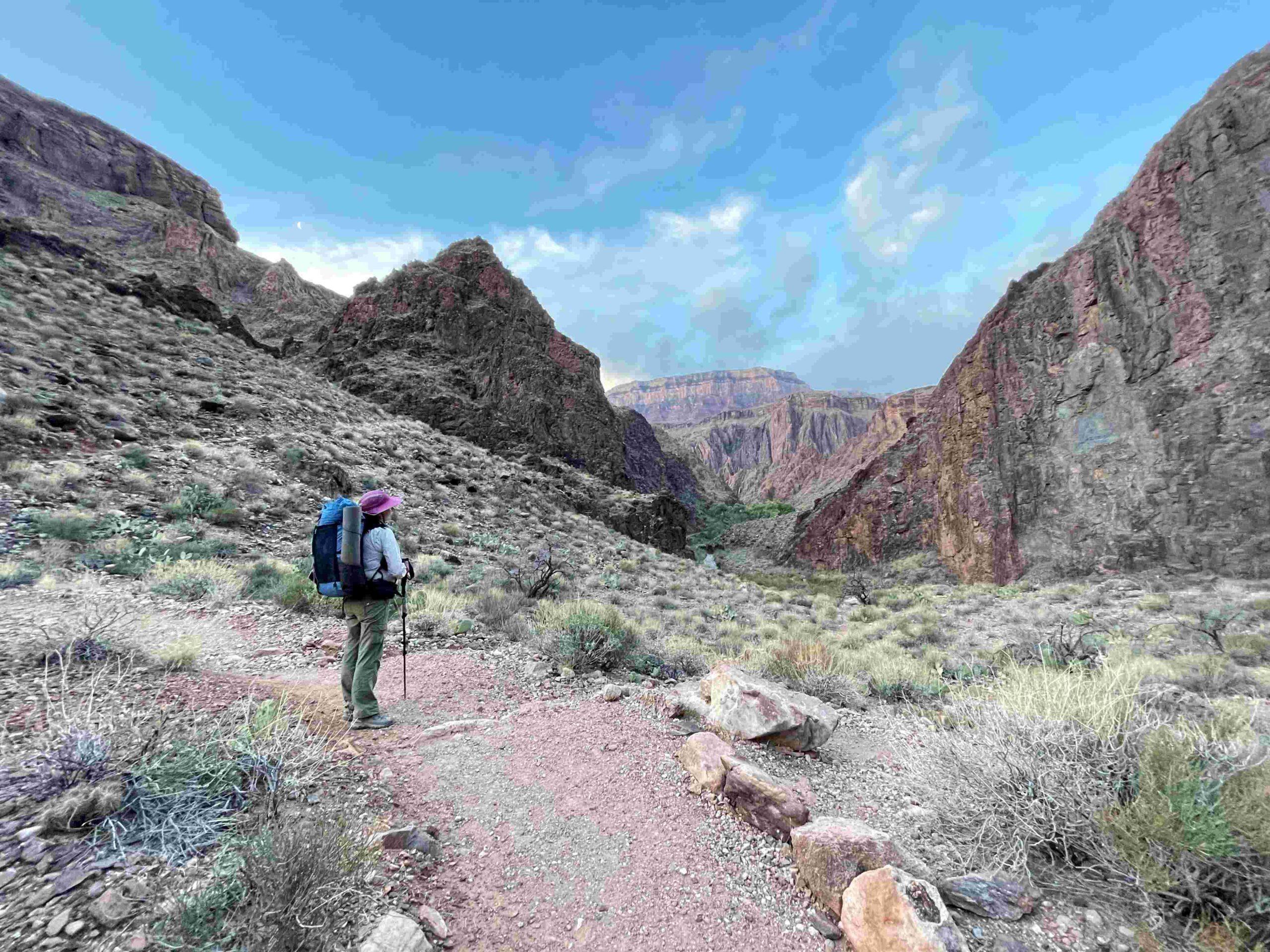
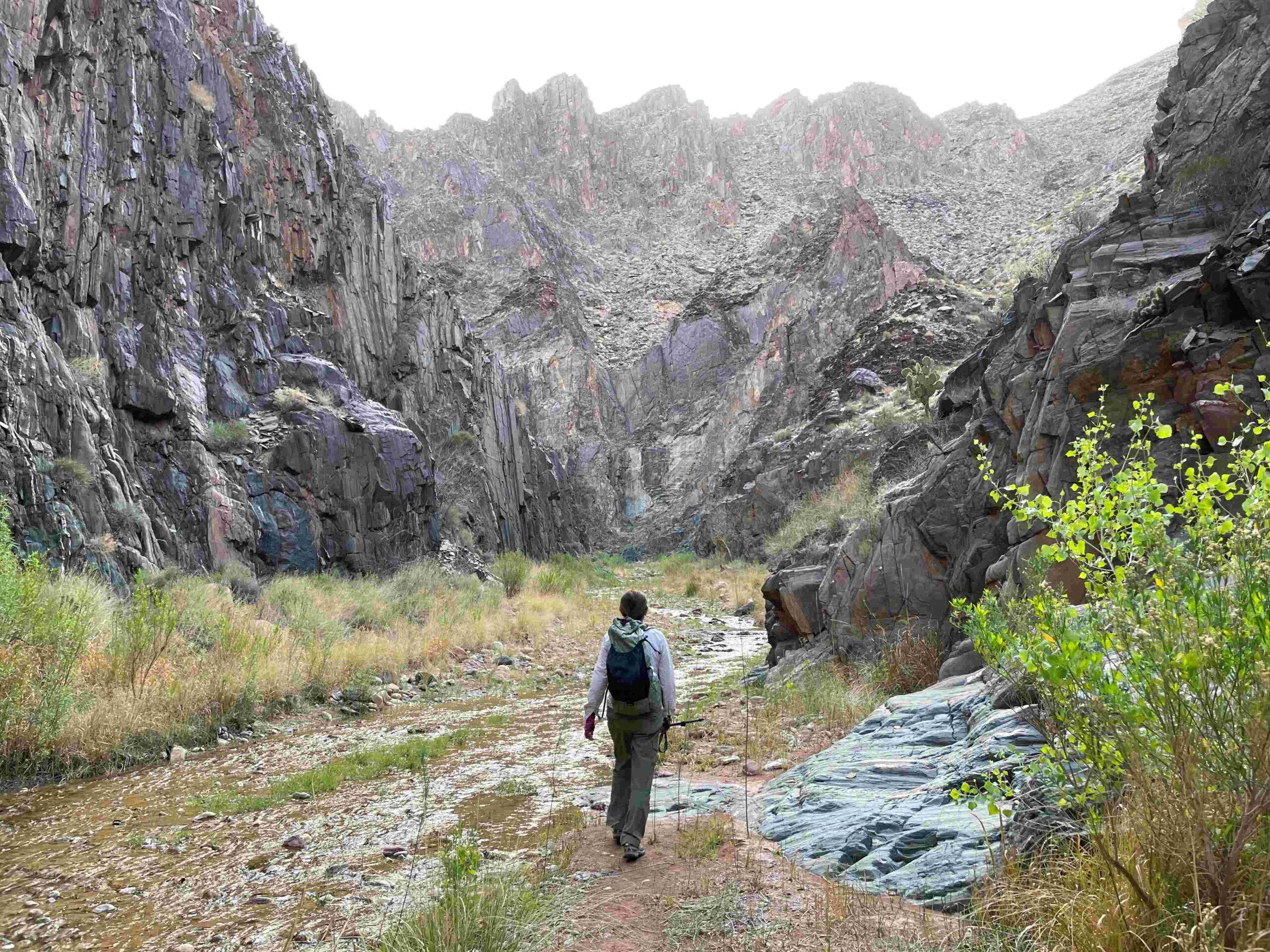
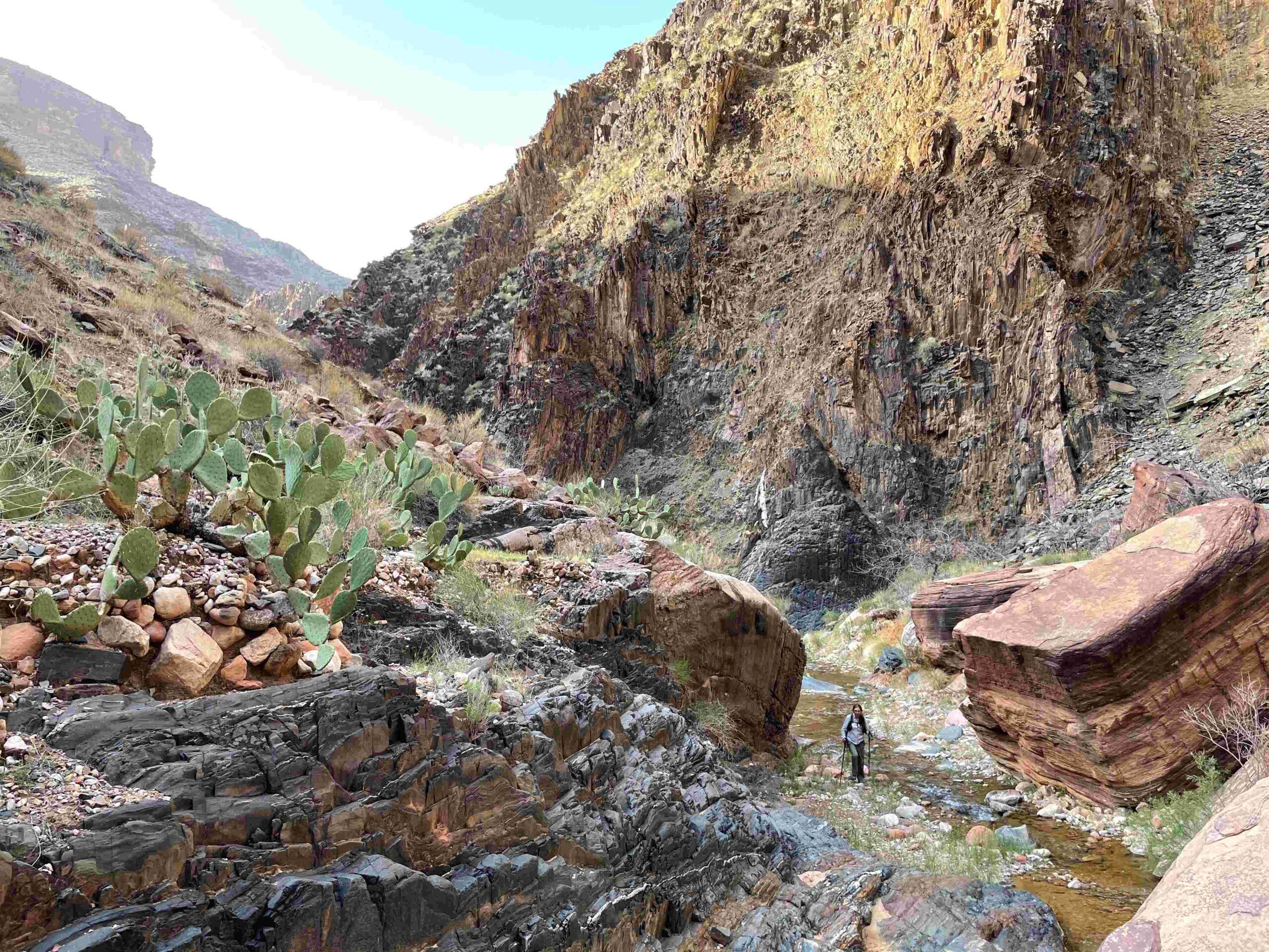
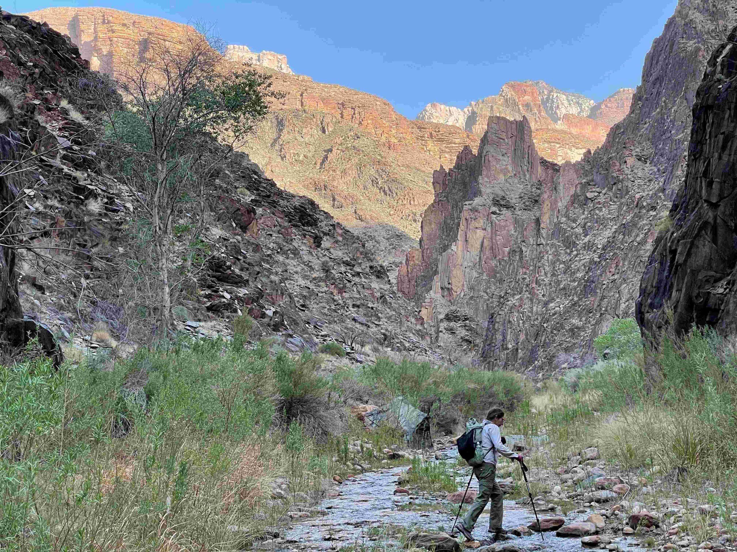
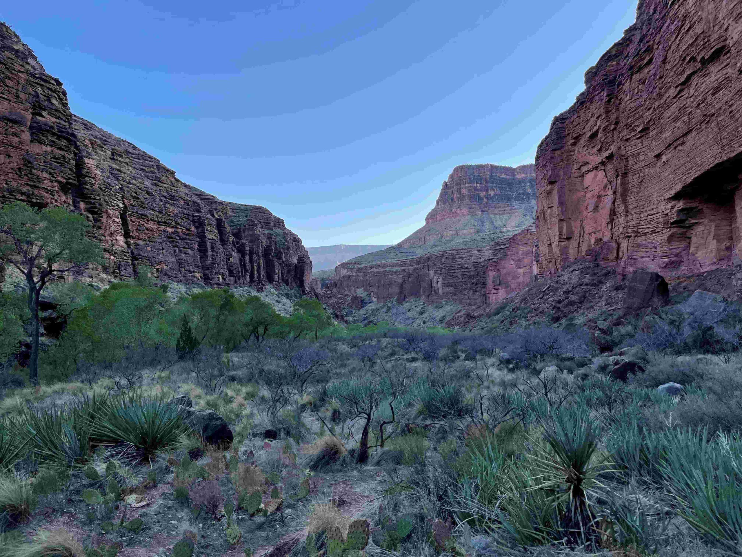
Walking Clear Creek upstream … Picture 21 … we enjoyed … Picture 22 … how the rising sun highlighted the colors of the canyon walls. Some of the boulders that had fallen from these walls … Picture 23 … made us feel like Lilliputians.
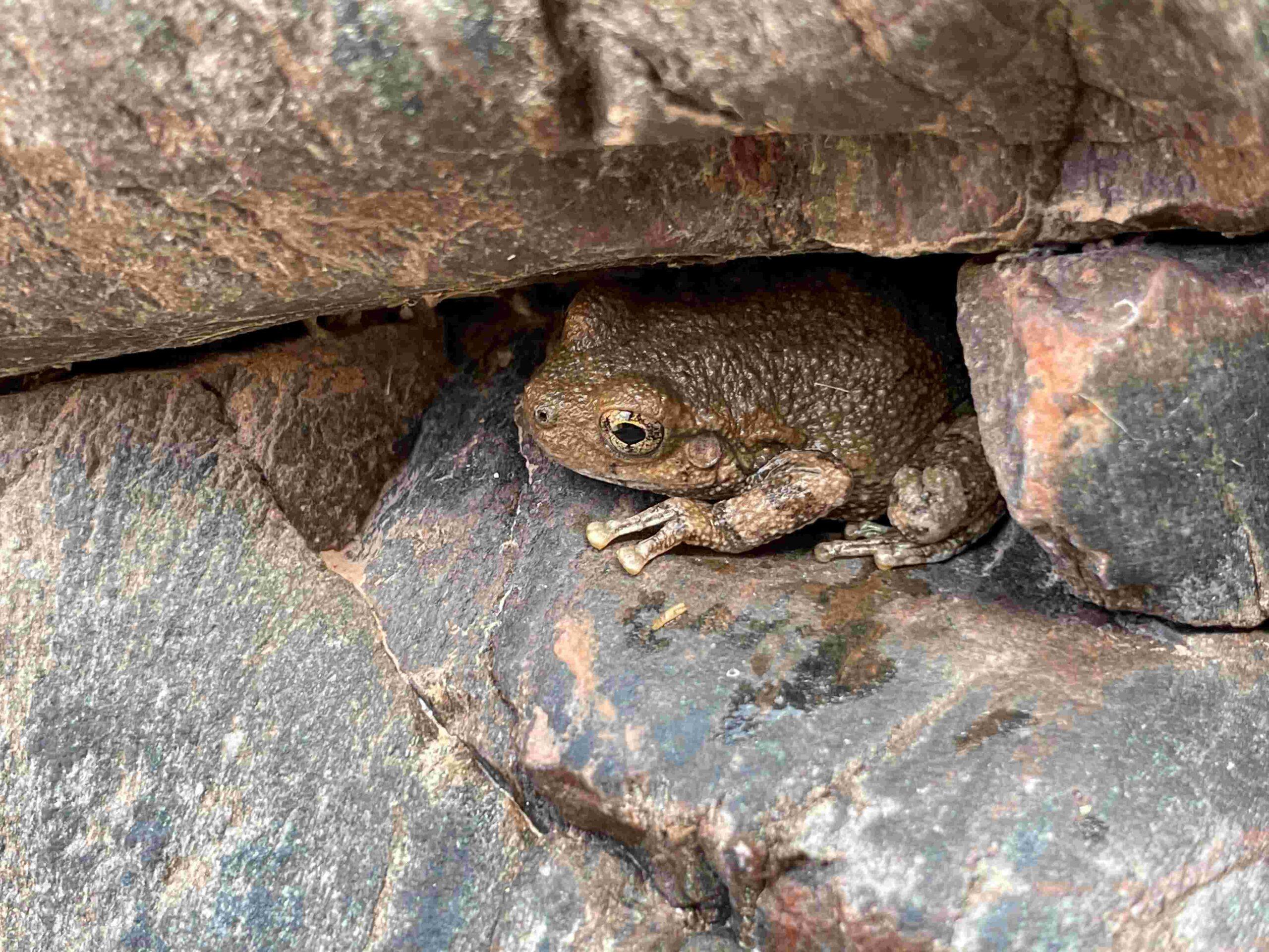
We made fast progress through … Picture 24 … this beautiful side canyon and got from time to time stopped by … Picture 25 … the little details along the way – like this Canyon Tree Frog.
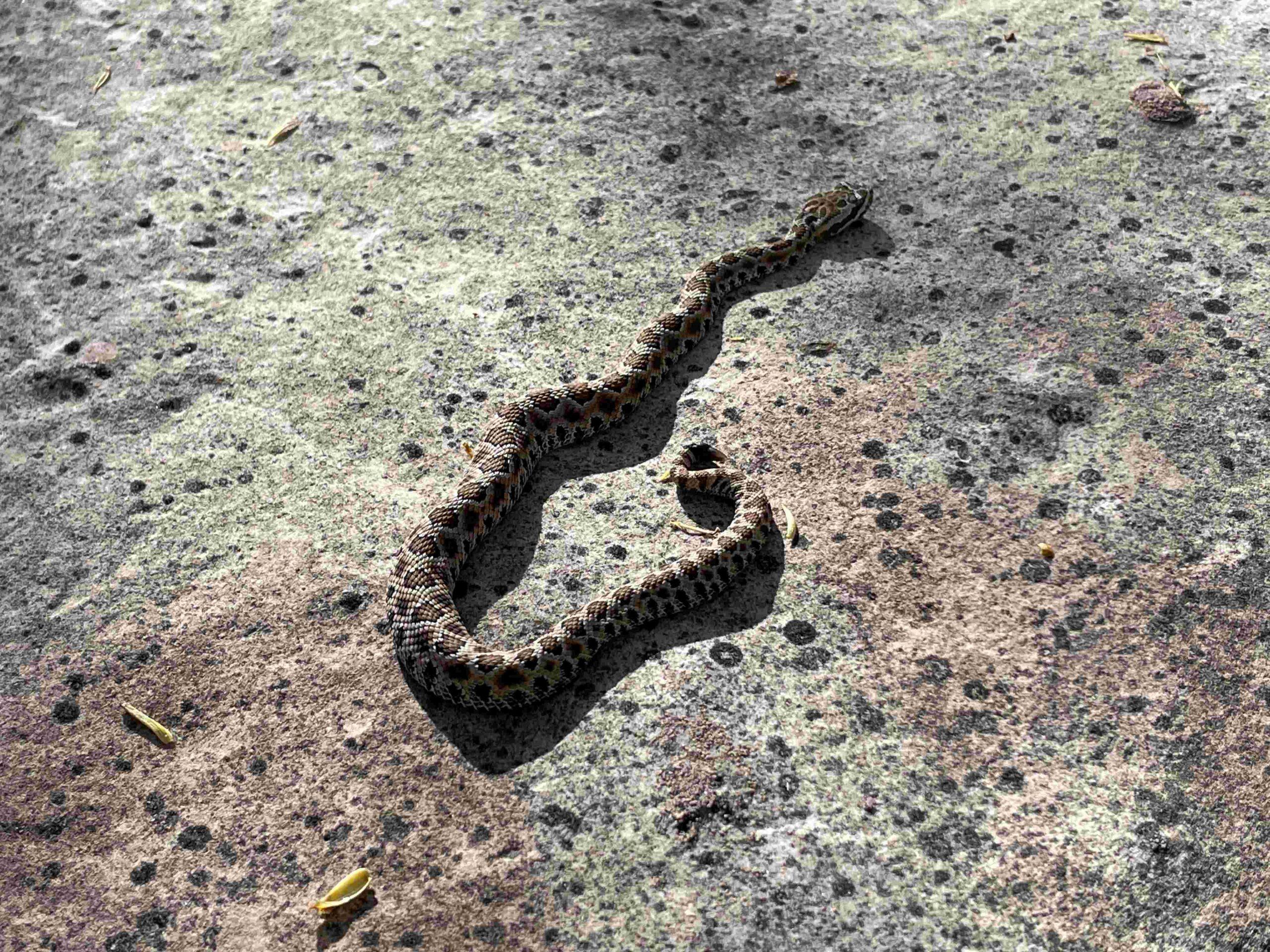
Walking towards … Picture 26 … the Ottoman Amphitheater, we passed suddenly … Picture 27 … a baby rattlesnake.
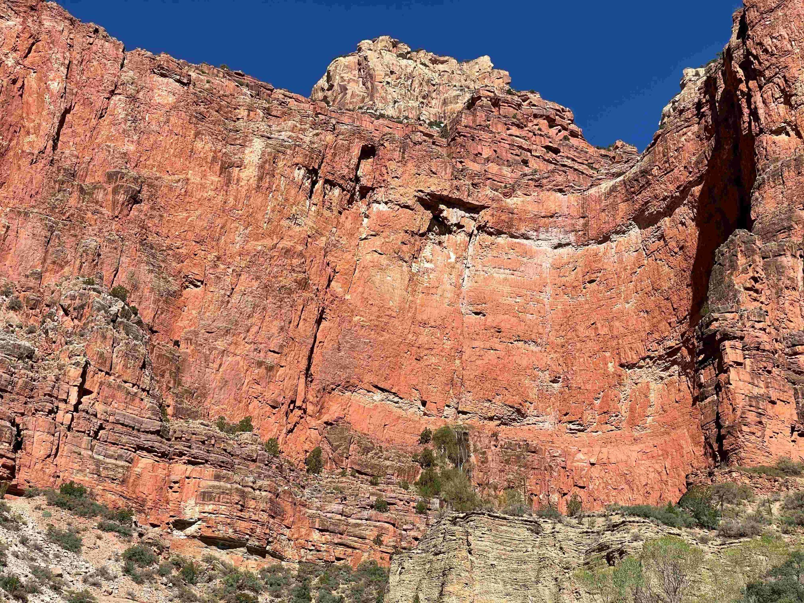
Cheyava Falls is a perennial fall. There was still a residual waterfall in April – seemingly coming out of the middle of the wall. The water must … Picture 28 … run down in a crack the first 600+ feet before falling the rest.
The light on the way back made for … Picture 29 … very different photos, depending on … Picture 30 … which direction we looked.
DAY 4: CLEAR CREEK TO BRIGHT ANGEL CAMP (PHANTOM RANCH)
Returning on Clear Creek Trail brought us through familiar terrain, but … Picture 31 … we were still mesmerized by the views. Once we saw … Picture 32 … Black Bridge again, we knew we are almost at the campground.
Once at the campground, we decided to add a day hike to Ribbon Falls to our day.
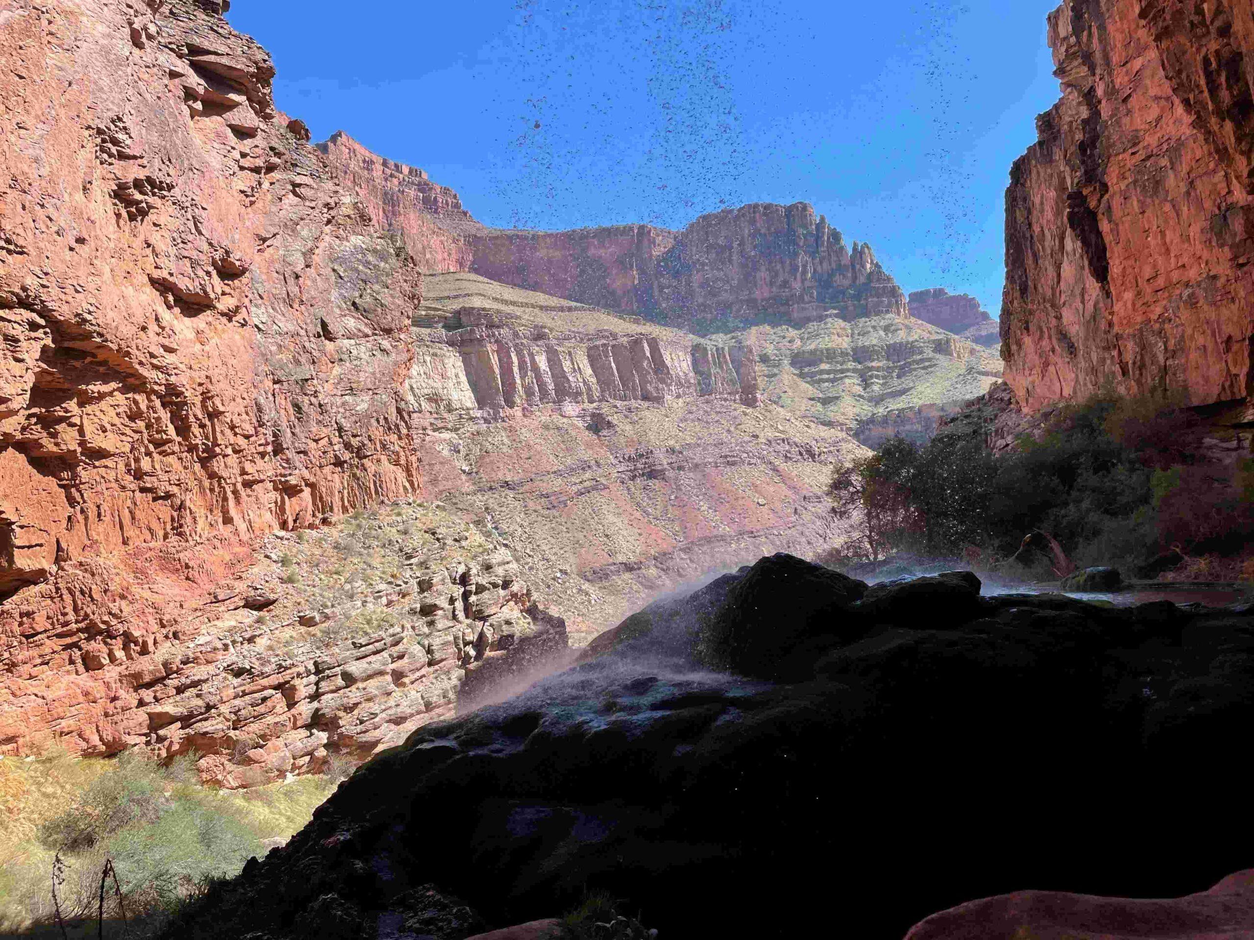
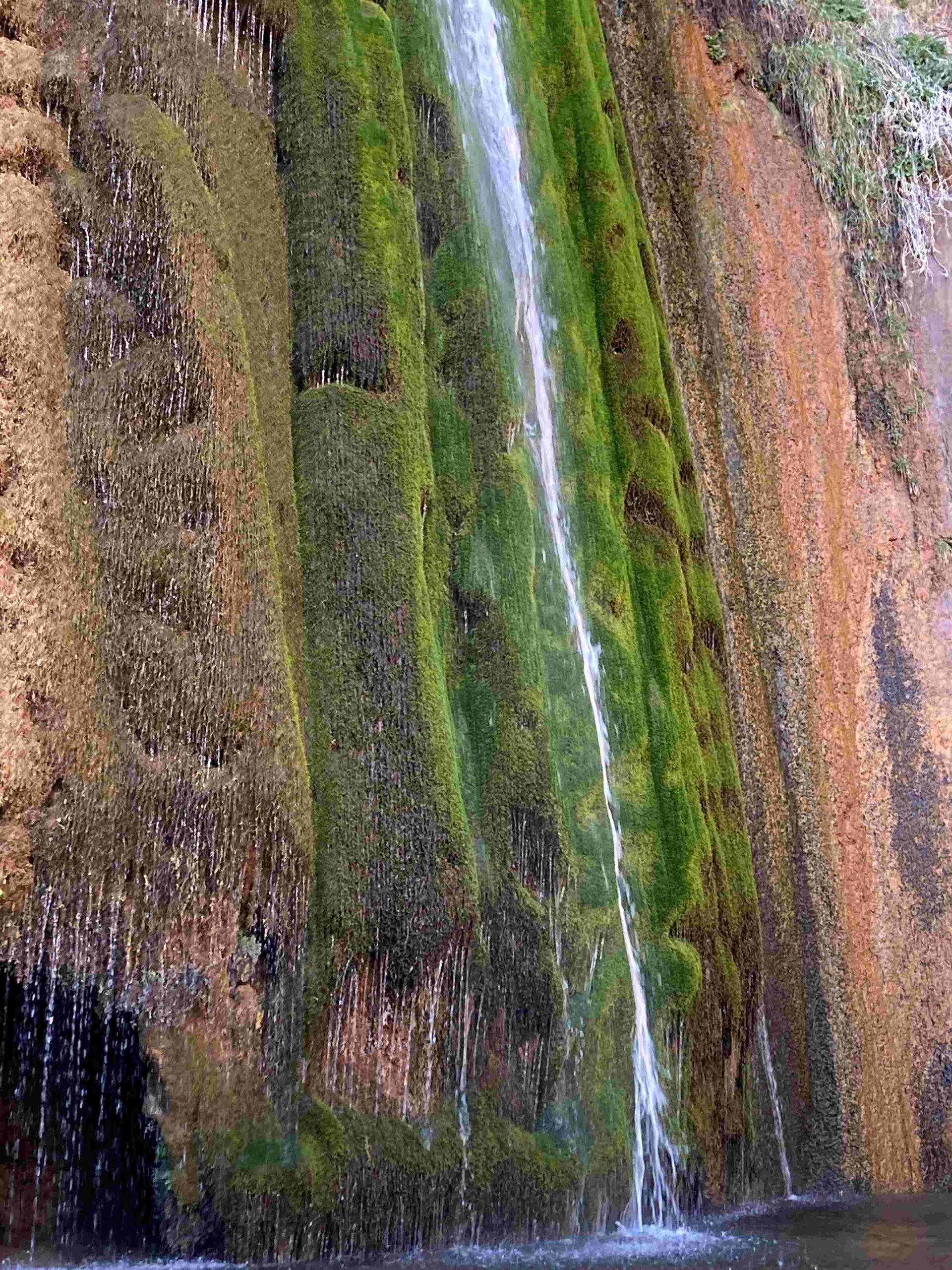
Going up behind … Picture 33 … Ribbon Falls makes for a nice view. The view … Picture 34 … from the bottom has also a special charm. It was hard to believe for us that we were the only two people at this fantastic location.
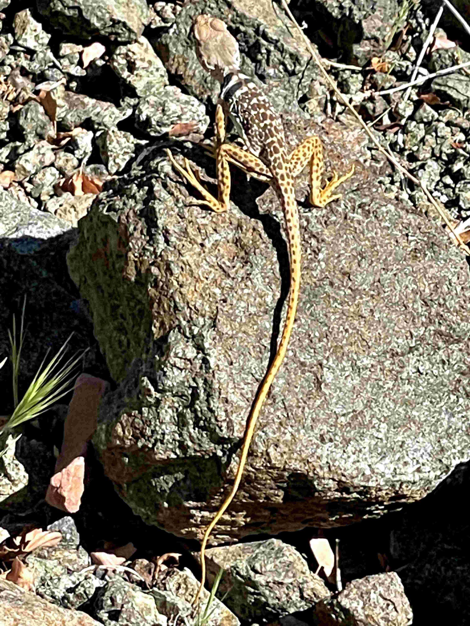
On the way back, we met … Picture 35 … this little fellow, a Desert Collared Lizard.
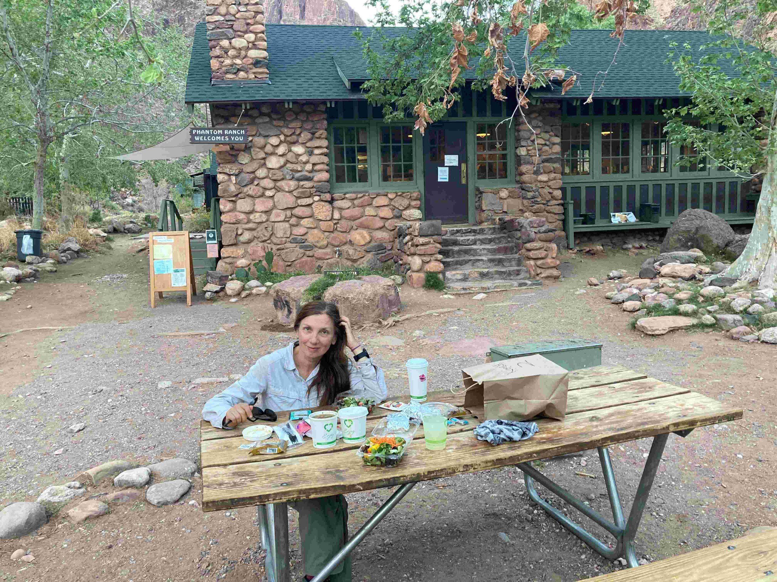
Before we started to Ribbon Falls, we ordered a Beef Stew dinner at Phantom Ranch … Picture 36 … and enjoyed the food and a cold lemonade tremendously after our 24-mile day.
DAY 5: BRIGHT ANGEL TRAIL TO SOUTH RIM
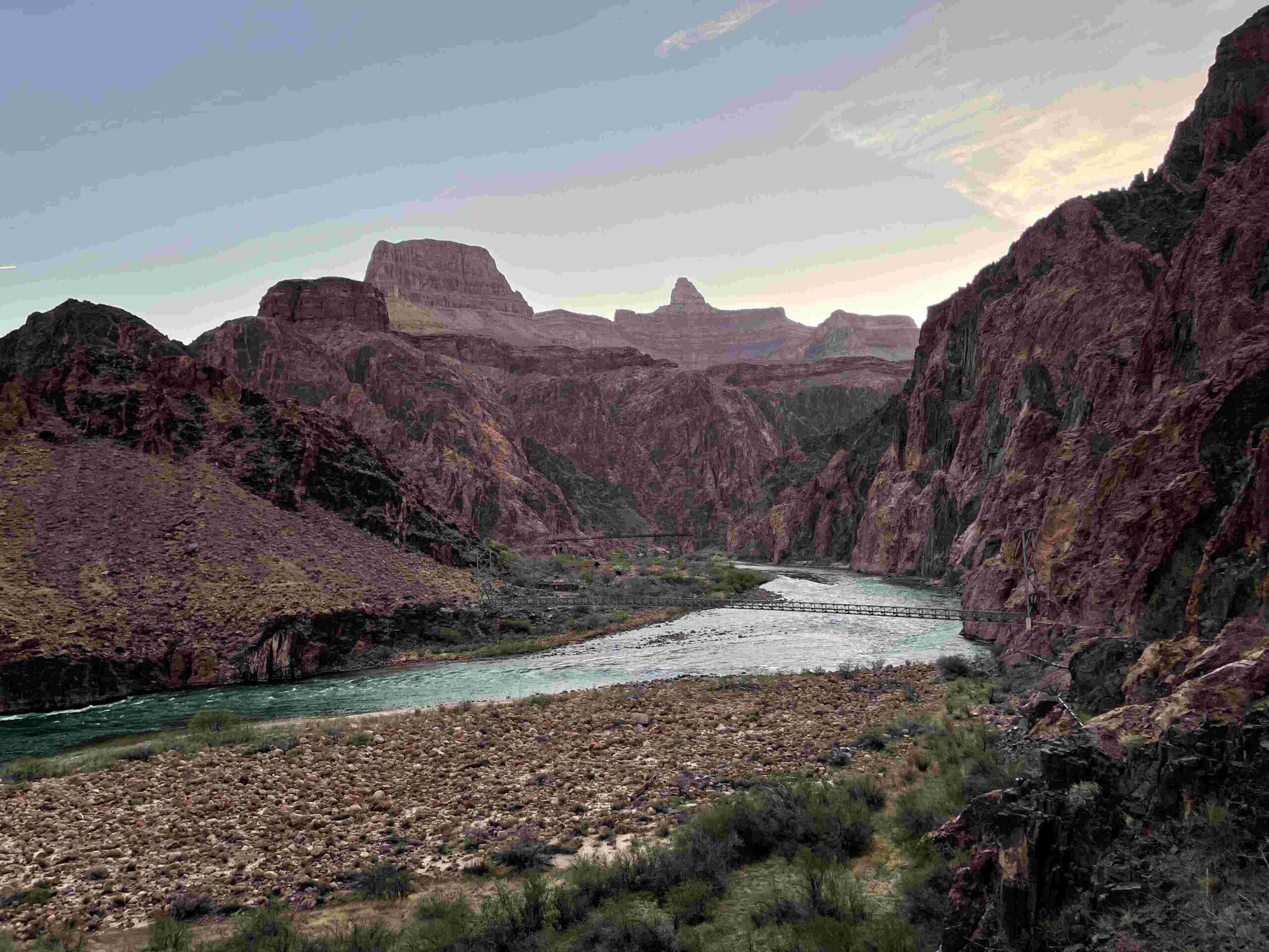
For our return to the South Rim we hiked up Bright Angel Trail. After crossing … Picture 37 … Silver Bridge we could see Black Bridge, Sumner Butte and Zoroaster Temple in the background.
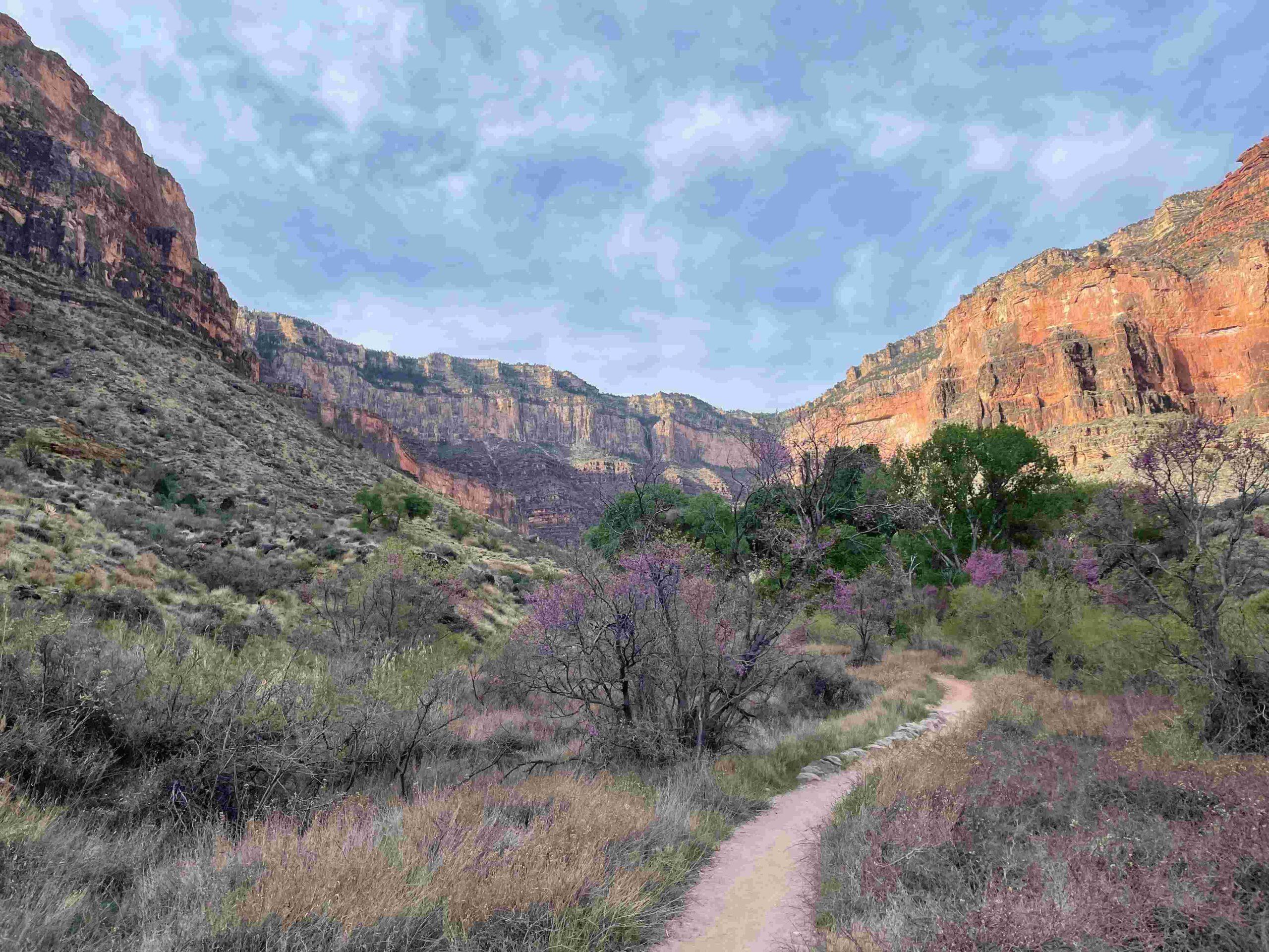
Walking along Garden Creek … Picture 38 … made for a pleasant morning hike with views … Picture 39 … in both directions.
Indian Gardens is an amazing little ‘oasis’, that … Picture 40 … deserves its name with the amount of vegetation growing along Garden Creek.
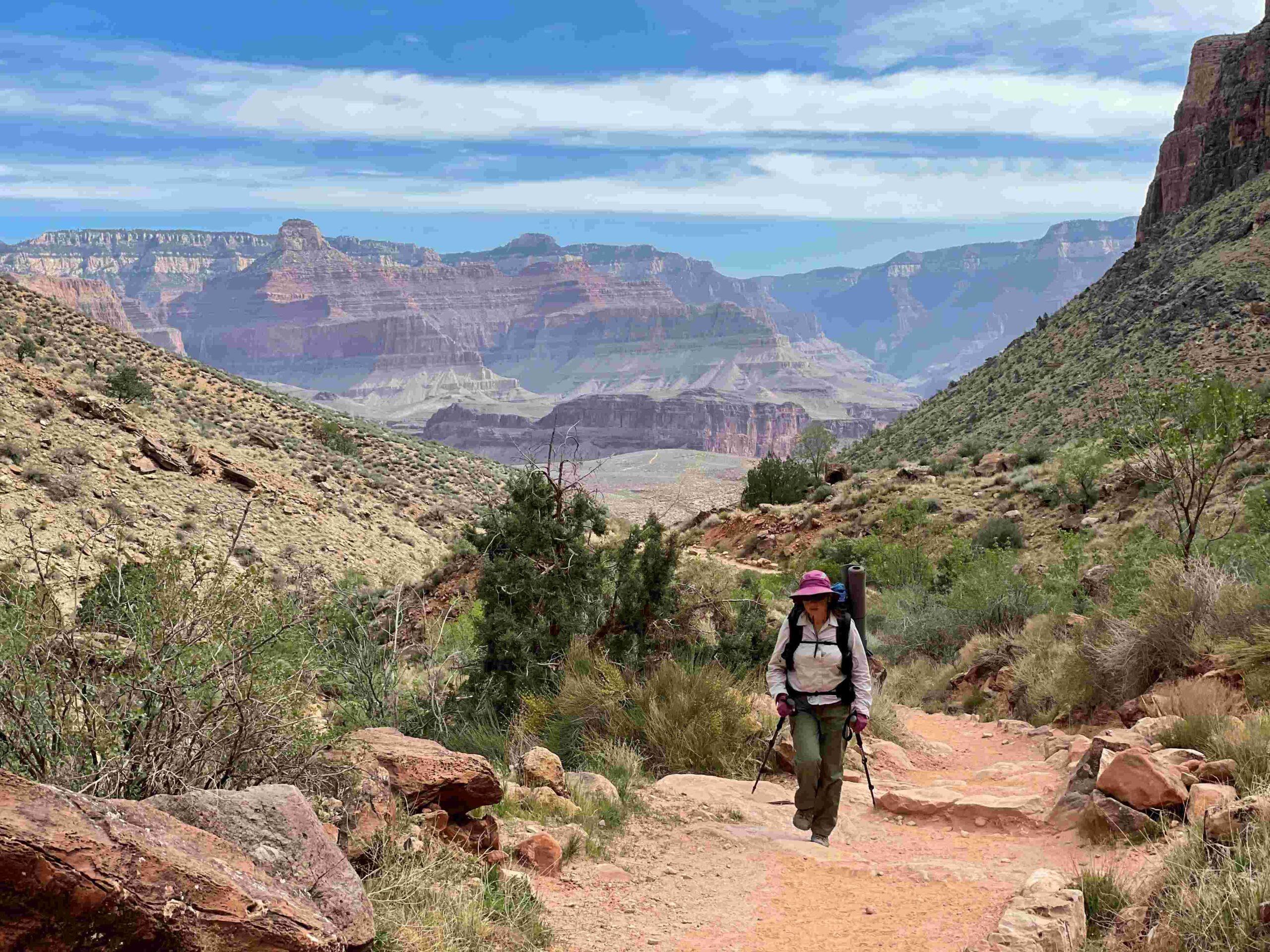
While climbing out of the canyon we enjoyed some final views of … Picture 41 … the Grand Canyon and the North Rim … Picture 42 … with The Battleship (on the left).
SUMMARY
Spending 5 days in the Grand Canyon was an amazing experience every step of the way. May be that was heightened by it being a totally new experience for us. Our usual backpacking experience has us wander through forests along creeks from lake to lake. This trek was so very different that we constantly stopped to take photo after photo. We both agree that we will come back to venture more cross-country and explore other areas of the Grand Canyon.