I grew up taking trips into that area every summer! My last trip there was in 2008.
I would want to stay up out of the lodgepole pine area because so much of it has been devastated by the bark beetle. Up near or at timberline, the trees are spruce and fir, so the beetle is not an issue.
I suspect that any loop of the type you describe would include a long stretch in the dead lodgepole forest. There's no way they can keep those trails clear until all of the dead stuff falls down. For that reason I'd suggest planning a trip (even if an out-and-back along the Divide rather than a loop) that keeps you above 10,000 feet for most of the way. And, as Jack suggests, double check with the USFS before going. I had a big problem in 2008 with closed trailheads (they were cutting beetle-killed trees to keep them from falling on your car), and it's only gotten worse (I'm sure the trees that were still alive in 2008 have died since, so the FS will have to go back and cut those).
The most spectacular part of the Mt. Zirkel Wilderness is the section along the Continental Divide from Summit Lake north to Gold Creek Lake. That includes the section over Mt. Ethel and Lost Ranger Peak that Jack describes. If there's any way you can work out a 2-car shuttle between Summit Lake and Seedhouse or Slavonia, or find someone in the Steamboat Springs area who's willing to provide transport, that would be perfect. Be sure to include side trips to Luna Lake, Roxy Ann Lake, Ptarmigan Lake, upper Red Canyon and others in cirques just off the Divide below Mt. Ethel and Lost Ranger. Also to Ute Pass, Bear Lakes, and to Red Dirt Pass, right next to Mt. Zirkel. You'll see as much spectacular scenery on those side trips as on the CDT (known locally as the Wyoming Trail). While loops can be great, do remember that the scenery looks different when you're hiking the opposite direction on an out-and-back trip! It's certainly better than trying to do half of a loop through dead and down timber!
Edit, later–fishing on the side trips I mentioned can be awesome, too!

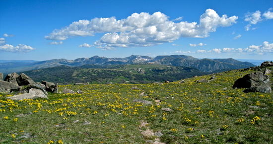 the heart of the area
 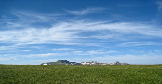 which way does the water go here?
  looking back at the ridge to Ute Pass
 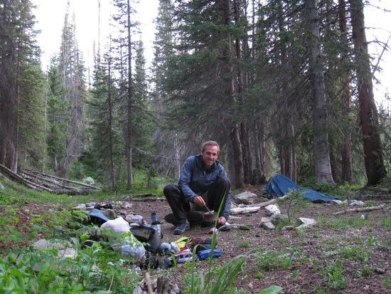 camp near Gold Creek Lake
