Does anyone know of anything other than Google Earth? I like being able to stand virtually on top of (or at the base of) a mountain and look around, but Google Earth flattens height way too much to get an accurate picture of the steepness of things.
Topic
3D topographic visualization tool
Become a member to post in the forums.
- This topic has 5 replies, 1 voice, and was last updated 5 years, 9 months ago by
 .
.
Viewing 6 posts - 1 through 6 (of 6 total)
I really like the app “Maps 3D Pro” on my iPhone. Not built to be iPad friendly and no idea if it is available for Android. But it’s pretty handy on and off trail. Also allows for onboard maps, so no data connection required when there is no cell coverage.
you can adjust the elevation exaggeration in Google earth to suit your liking.
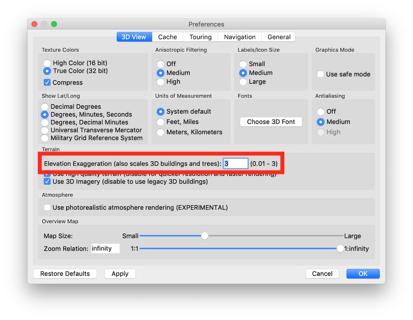
Go to Tools; Options: on the 3D View tab you should find Elevation Exaggeration whihc you can set between .1 and 3.0 (or at least I can on my version). Set it at 1 and you should get close to the real thing.
On a Mac that would be under Google Earth Pro > Preferences > 3D View
1.0 Elevation Exaggeration looks too flat for many people. Suggest trying 2 or 3. Geologists often use as much as 10:1 (in other software) for areas with small elevation changes.
— Rex
Old thread, but here is another source: TopoFusion. This is an older program originally oriented to cycle sports. It still exists and is still maintained with a good number of powerful features. http://topofusion.com/index.php

Here is the same area in Google Earth Pro 3D. Different perspective but interesting comparison. I believe that Topofusion can access the elevation contours to produce its 3D rendering.

Viewing 6 posts - 1 through 6 (of 6 total)
Become a member to post in the forums.

