This is my first trip report post. It is difficult to tell if it is all going to work. Constructive criticism accepted.

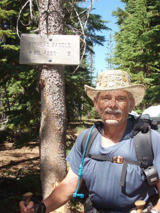
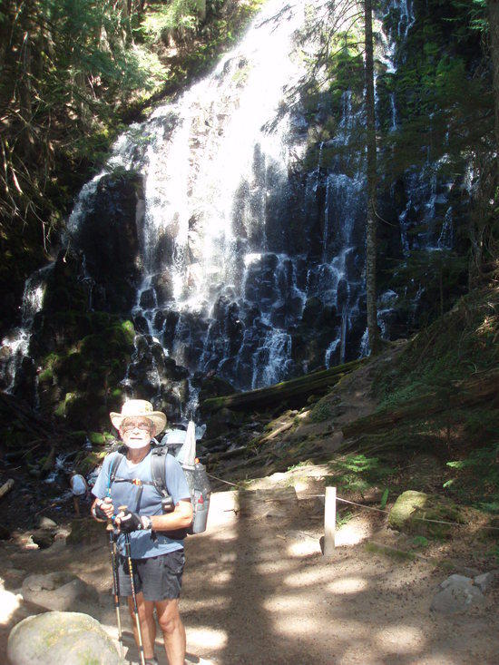
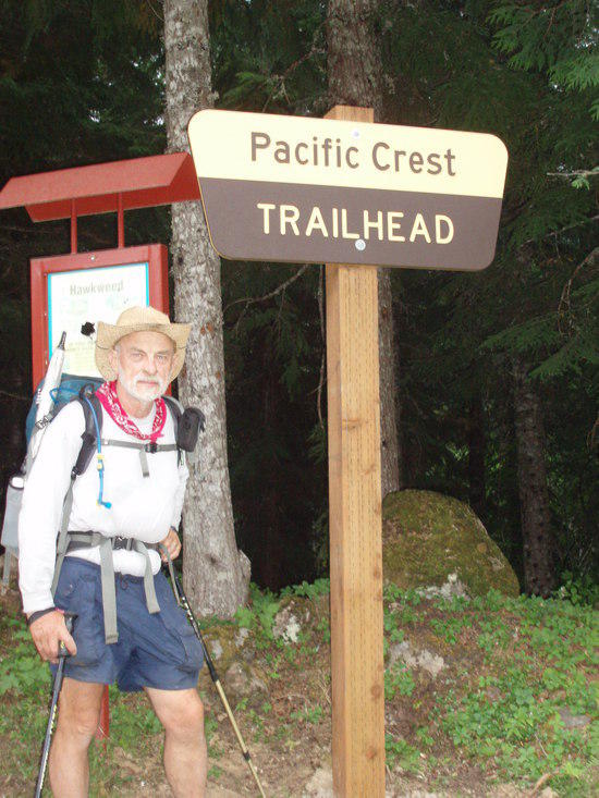
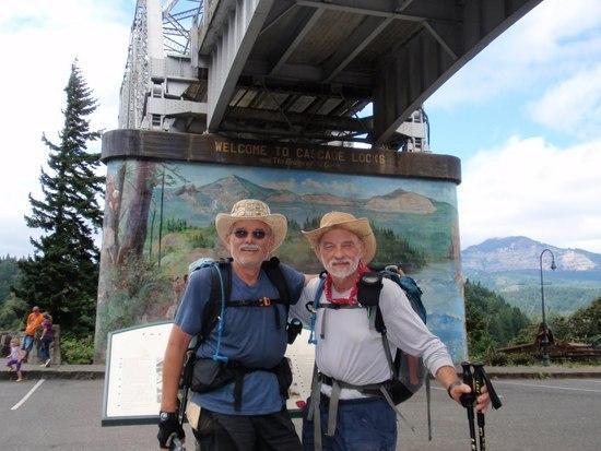
Ed W. age 71 on the left and I (pinhead / trail name) age 64, at the trail head Santiam Pass. I have been trying to finish these 149 miles of Oregon since 2008. Because of a recurring bout with plantar fasciitis in my left heel since 2008 I could not hike at all. This year I have been doing a set of stretching exercises religiously to strengthen the Fascia, it worked.
A few stats;
Santiam Pass – Cascade Locks
Ascent Descent Hiking Time Miles Miles per
Day No. Date Day Ft Ft Hrs Min Hiked Hour
1 11-Aug-2010 Wed 2,474 1,342 5 28 13.9 2.54
2 12-Aug-2010 Thurs 1,772 3,032 6 0 16.1 2.68
3 13-Aug-2010 Fri 2,976 3,071 5 33 16.2 2.92
4 14-Aug-2010 Sat 1,497 3,172 7 5 20.9 2.95
5 15-Aug-2010 Sun 2,060 1,466 7 59 19.8 2.48
6 16-Aug-2010 Mon 3,025 1,158 6 52 13.5 1.97
7 17-Aug-2010 Tues 2,960 4,852 8 9 17.1 2.10
8 18-Aug-2010 Wed 2,148 1,899 7 8 15.1 2.12
9 19-Aug-2010 Thurs 433 4,229 6 53 15.9 2.31
Totals: 19,345 24,221 57 247 148.5
Total Hiking Time Hrs: 61.12
Ave Miles per Hr: 2.43
We started the hike with more water than we needed. The data book did not show water until Rock Pile Lake. Total pack weight including food (seven days) and water (120 oz) 30lbs. The seven days of food was because Olallie Lake had just reopened and we were not sure how much stock was on hand there and they were not set up to take resupply boxes this year but said they would next year. The next resupply would be Timberline Lodge, Mt. Hood. This would be the 100 mile mark.
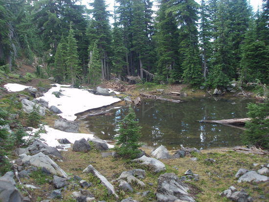
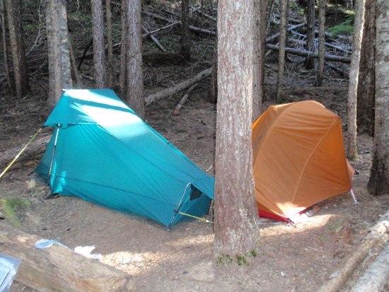
With a fairly late morning start our first campsite would be Rock pile Lake.


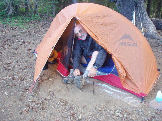
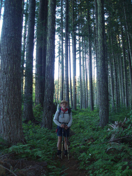
Ed getting ready for the start of the second day. He was carrying the Hubba with fiberplex poles. My tent is homemade and weighs in at 26oz in the bag with ground cloth, stakes and poles. It has an 11 sq. ft. vestibule and the tent is 102” long, 42” wide and 48” high.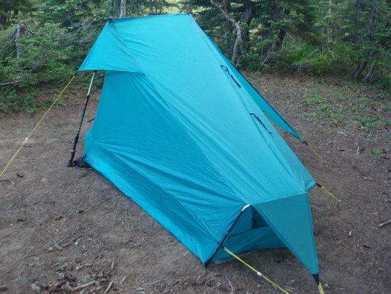
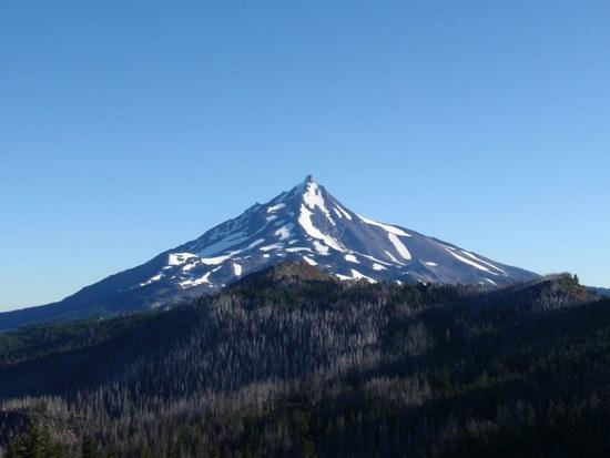
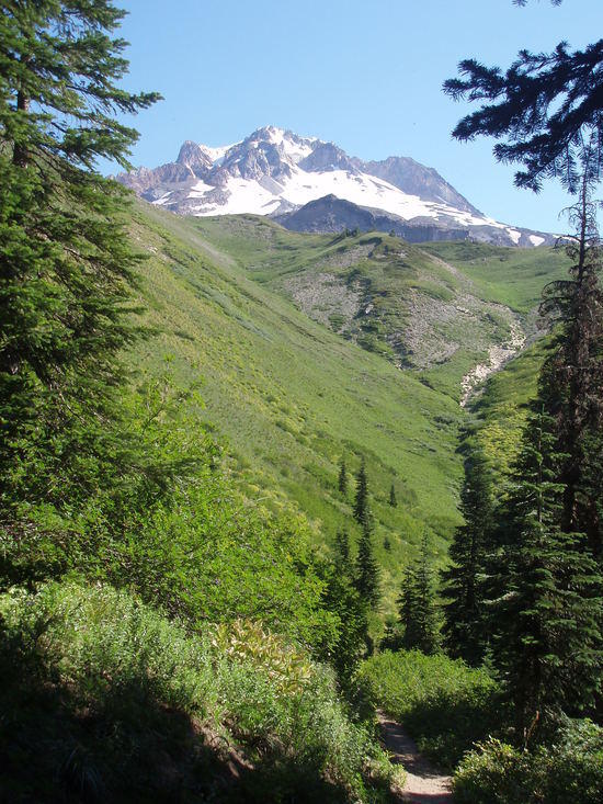
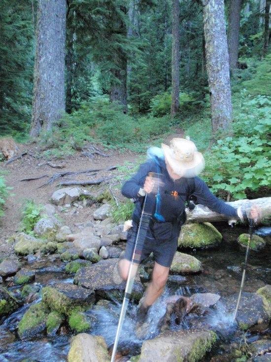
As we continued we got our first view of Mt. Jefferson to the north. The trail continues along the ridge in the foreground and over the saddle to stay on the left side of Jefferson toward the west. Our second night we were camped about a mile south of Russell creek at Jeff creek. We had decided to camp there and make our crossing of Russell early in the morning of August 13th when the creek was low to avoid a wet crossing. Because of the silt in Russell creek, Jeff creek was the best place to pump water.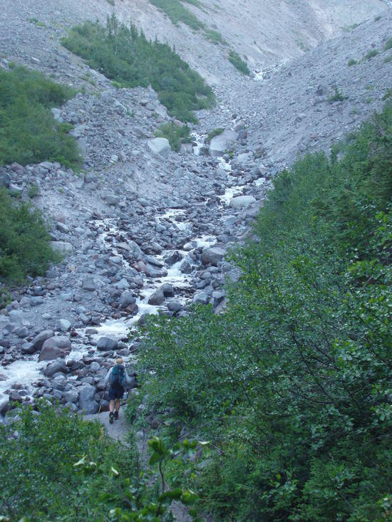

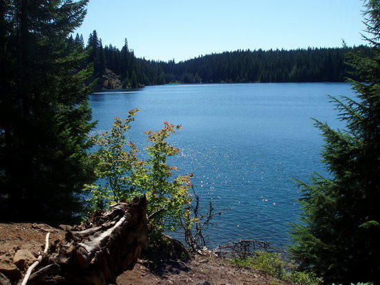
Mt. Jefferson looking south. At this point we are in an area called Jefferson Park
We stayed the night of August 13th at Head Lake which is just a little north of Olallie Lake. The store at Olallie was fairly well stocked for backpackers, and of course with ice cream and cold beer. They seem to be working very hard to accommodate the backpackers and hope to be accepting resupply boxes in 2011.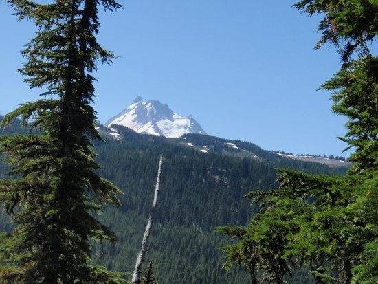
Timothy Lake for lunch. We camped that night August 15th at Seeping Springs at mile 2093.8 (PCT). About 9pm (hiker midnight) that evening a couple of thru hikers came into camp and bedded down without a word. In the morning about 5:30am we showed them where the spring was, they thanked us and were off. All total we saw about 8 thru hikers in the 81/2 days we were on the trail.


We made it to Lolo Pass to camp, the evening of August 17th. The spring however is 4 tenths of a mile north with no real places to camp. We went for water and then came back to the pass to camp. It was getting late and starting to sprinkle.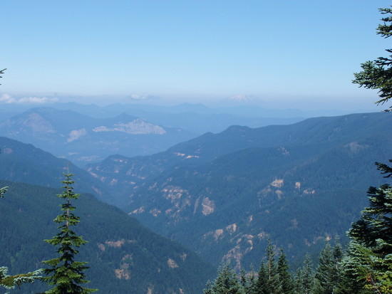 This is a look at the Eagle Creek Gorge with Mt. St. Helen in the back ground. We are on the ridge south of Indian Springs.
When we got to Indian Springs we decided to take the trail to Wahtum Lake to spend the night August 18th. This is a loop trail that comes back to the Eagle creek trail about 2.5 miles north of Indian Springs. You can also continue from the springs on that trail which is a shortcut to the intersection of the Eagle Creek trail.


We made it in time to have lunch (with a couple of beers) before getting a ride back to the Portland area.

