March 27th & 28th, 2010
Hunting Hollow Trail Head to Coit Lake and Back approximately 18-20 miles.
Daytime Temps 70-80 F Approximately
Night Time Temps 38-45 F Approximately
Map: Henry W. Coe State Park Map
Website: http://www.coepark.org/map-intro.html
Guide Book: Camping & Bakcpacking the San Francisco Bay Area by Matt Heid Wilderness Press
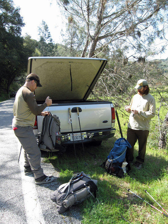
Jay Weighing his Pack Before Heading Out.
We arrived at the trail head parking lot to find that there was a mountain biking race being held and the parking lot was packed. We ended up driving a short distance up the road and parked along the side of the road.
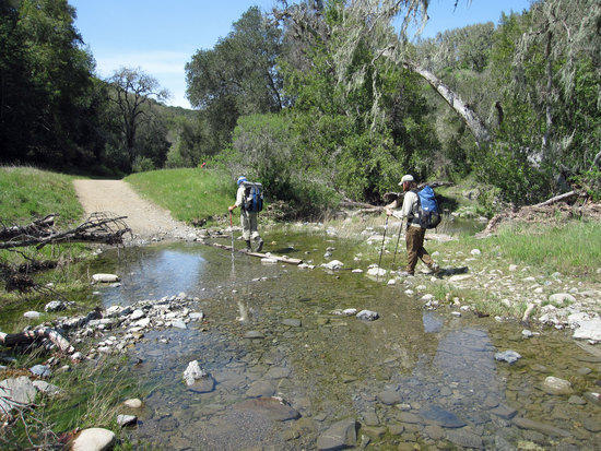
Hitting the Trail with a New Friend.
At the trail head/parking lot kiosk, we were filling out our self registration and met Ben, who was already there filling out his paperwork. Apparently, he had come home from a party and at 2 am had read the BPL forum posting on this trip and decided to pack and drive down from Sacramento for a good 3 hours to get to the trail head. He had not expected to see any fellow BPLers at the trail head as it was about 11:15 am. Jay, Cameron, and I had met for breakfast before driving down and had gotten a late start, so we were lucky to find each other.
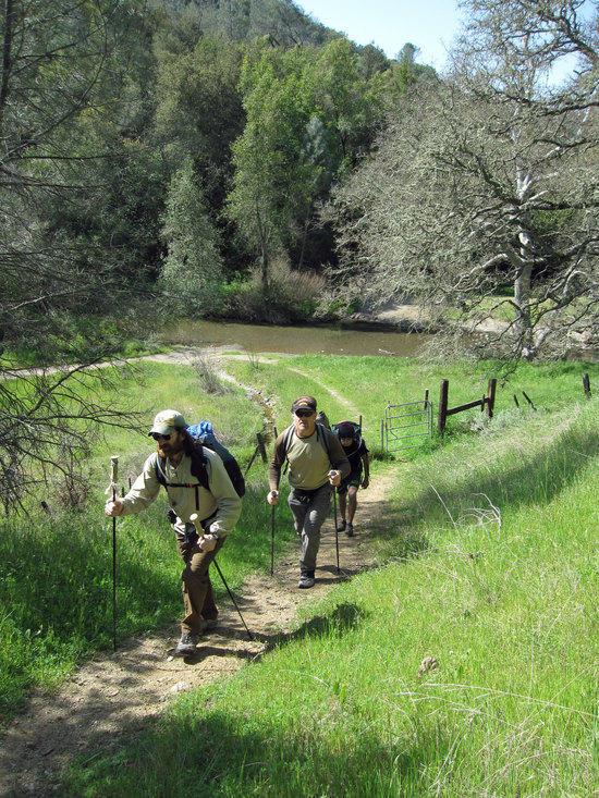
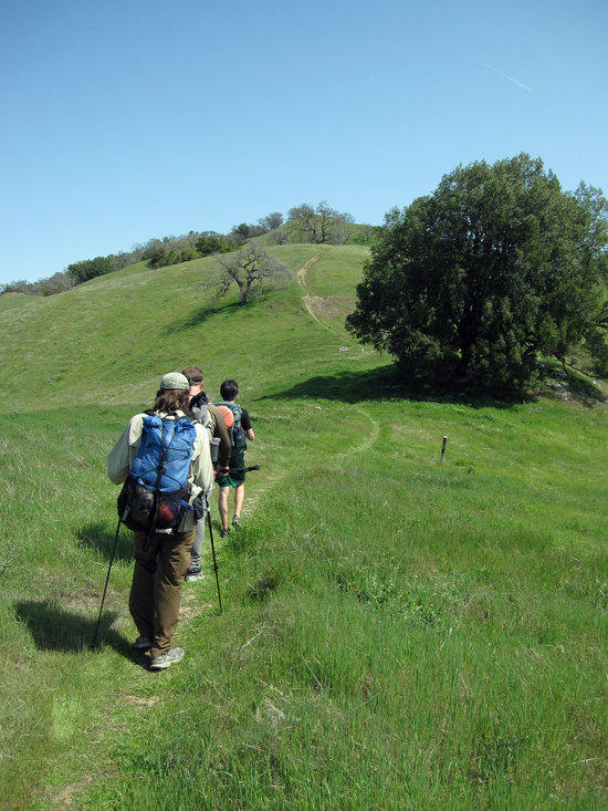
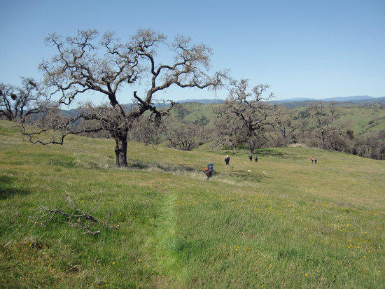
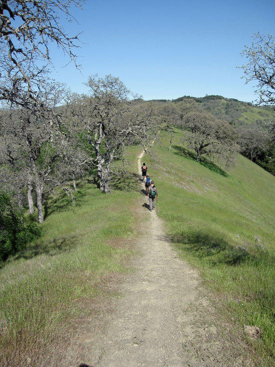
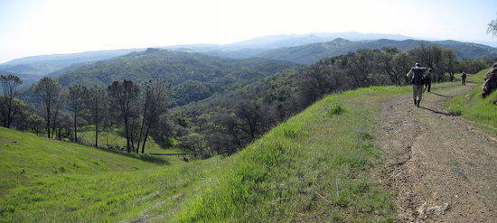
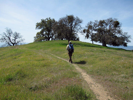
Marching Up Steer Ridge Trail.
Where Springs Road Splits off to become Hunting Hollow Road, we simply cut North East at this point by passing through a metal gate and headed up hill. Gaining elevation very quickly, but rewarded with increasingly better views.
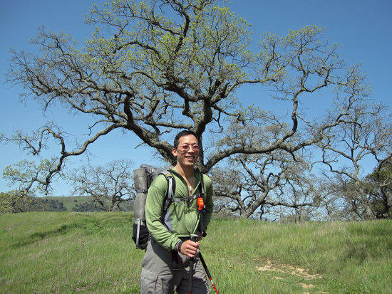
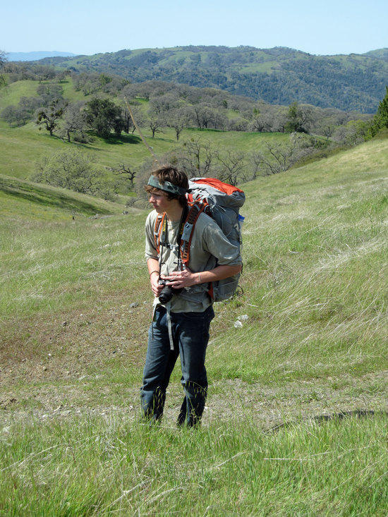
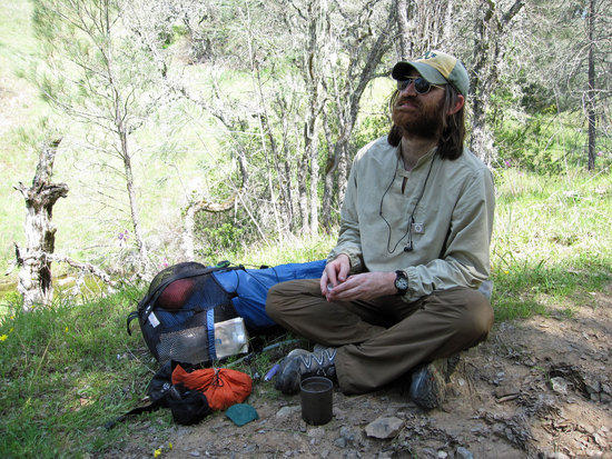
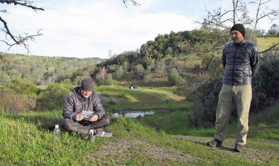
Tony
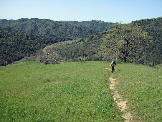
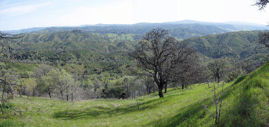
A Brief Green Time of Year, before the hot spring and summer sun bakes the hills brown.
Henry Coe State Park may be one of the largest, if not the largest, State Parks in California. Other than the more popular Western Portion of the Park, you are free to camp anywhere you like in the park. Fires are not permitted. The Western Portion has the Main Entrance and a lot of designated campsites. Other than the Western portion of the park, water can be very scarce. Summer temperatures can easily range from the mid 80’s F to over 100 degrees F. For the whole of the Bay Area, Spring time is quite pretty with plenty of green rolling hills.
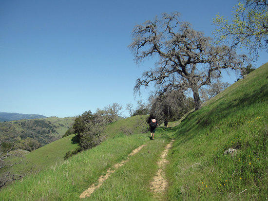
Steer Ridge Road
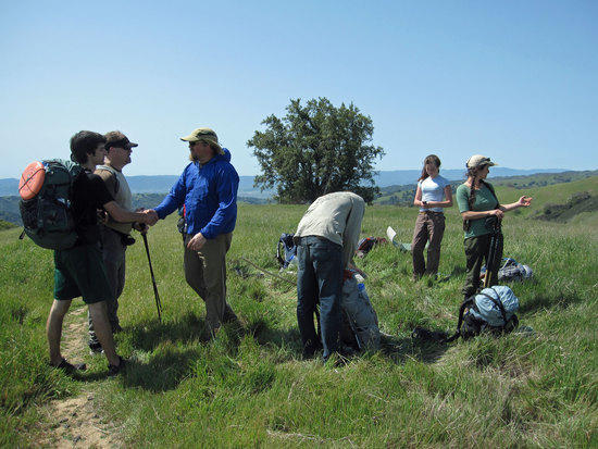
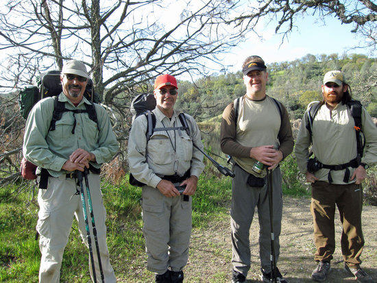
Meeting Friends at Streer Ridge Road & Middle Steer Ridge Trail.
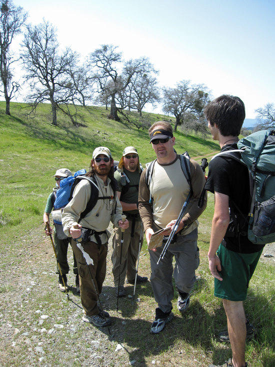
Here we met Josh and three sons, Katharina and her daughter while they were having lunch or taking a break. We joined them and took time to have a snack break and catch up with each other.

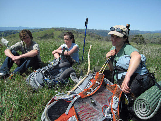
Cameron Digs into his Gossamer Gear Mariposa.
Katharina, her daughter, and Josh’s son, Ocean
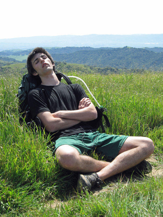
Ben Taking Time to Recover.
Besides not sleeping much the night before, Ben had forgotten that he had donated a pint of blood the day before. As he started up the steep trail at the beginning of the trip, he was feeling a bit sick. At one point, he was puking up some cookies that he had taken on the trail for either a snack or breakfast. Shortly after this, he had wisely decided to rest under the shade of a tree to see if he should continue on. Jay, Cameron, and I hovered just above him by a little bit to wait and see if he was going to be okay…continue or go back to his car. After a relatively short break, he rejoined us and we all took a leisurely pace. Ben is 17 years old and at the age of 16, solo hiked the John Muir Trail. An amazing feat for an amazingly mature man at such a young age.

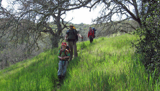
Katharina’s Daughter and Josh’s Younger Boys
Josh’s Youngest Son is 7 years old…in his pack he carried some water, his sleeping bag, and maybe a jacket. Very impressive that they could do this trip. The hills on this trip were surprisingly steep. There was a lot of elevation gain and loss. Hats off for Josh’s kids for having the stamina to do this without complaining.
Getting Back on the Trail
Ocean Carrying a Home Made Bow
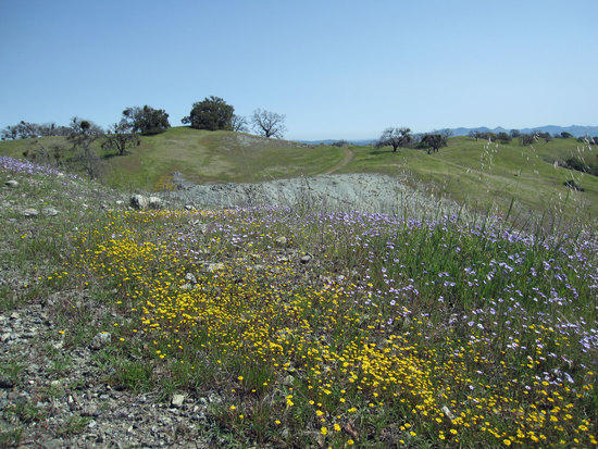
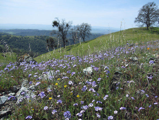
Carpet of Small Flowers
Intersection of Steer Ridge Road, Wilson Peak Trail, and the Serpentine Trail
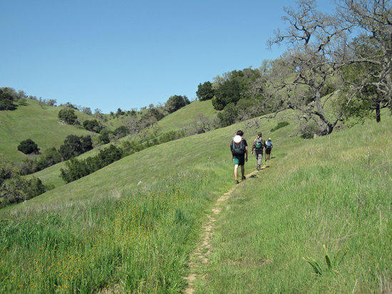
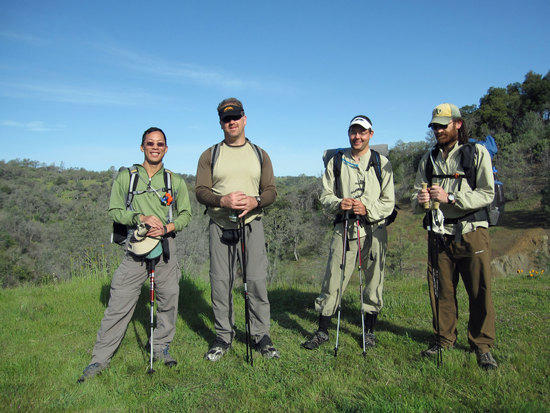
Rolling Across the Hills with the Families
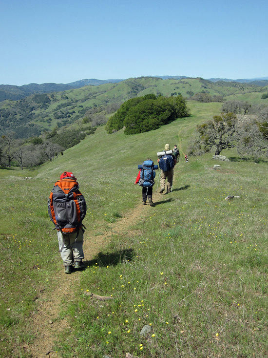
March of the Little Guys
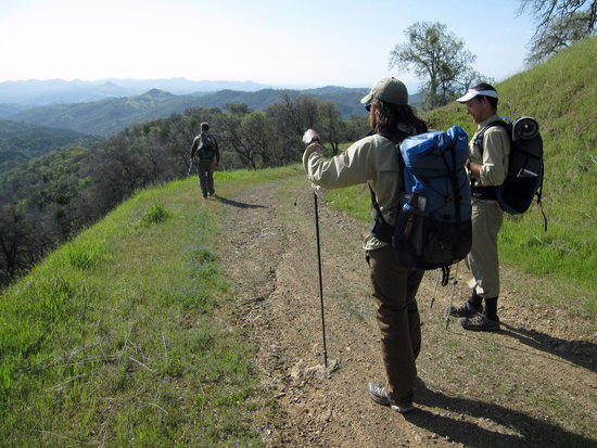
Willson Peak Trail
Josh and His Two Youngest Boys
Cameron Taking a Break at Grizzly Gulch Trail

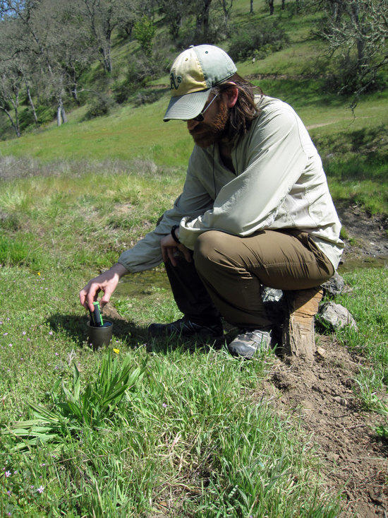
Josh Using His Steripen
More Green Hills as We March North West on Gruzzly Gulch Trail and then Cutting North East on the Dexter Trail

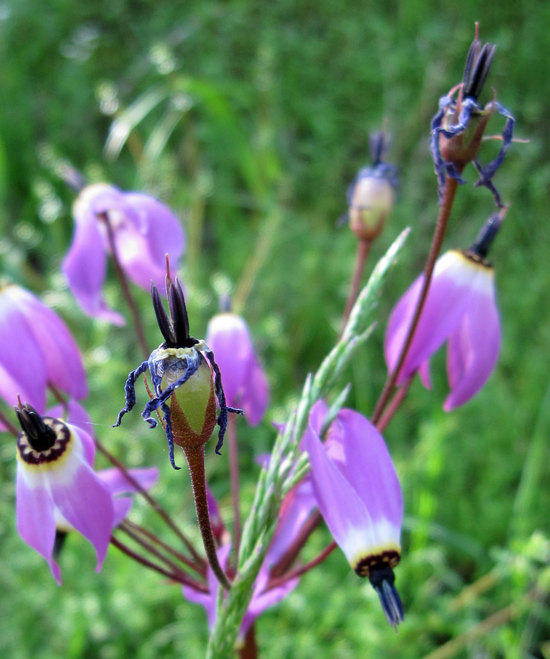
Flowers on a Ridge
I am not entirely sure which trials we took as I was a sheep just following the lead hiker. Believe that we took the Dexter Trail and cut North West onto Wasno Road and then North East on Kelly Lake Trail to reach Kelly Lake.

Ocean and Katharina’s Daughter.
Moving Along to Kelly Lake After Saying Good Bye
At this point, Josh and his two youngest boys were marching along well, but were lagging behind the rest of us by a mile or so. Here Jay, Cameron, Ben, and I said good bye to the other, pushing to Coit Lake. Josh and Katharina had said that their goal was to shoot for Kelly Lake as going another three miles to reach Coit Lake would be a lot to ask of the youngest boys. My hats off to them as I doubt that my own 7 yr old daughter could had made it as far as they have with elevation gain and loss on these trails.

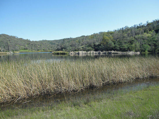
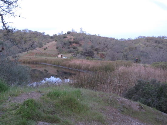
Northern End of Kelly Lake
Kelly Lake
Surprisingly, there were quite a few campers at Kelly Lake. Outhouse was available. Filter your own water from the Lake. Garbage cans available so you don’t have to carry out your trash.

Katharina and daughter rolling in as we leave
Unfortunately, this would be last that we would see of the others.

First View of Coit Lake
Three quick miles from Kelly Lake
Just around the bend here we met Richard, who, it turns out, was only about 15 minutes ahead of us on the trail.

Boy Scouts on the Trail at the 1st Campsite Along the South Western Part of the Lake
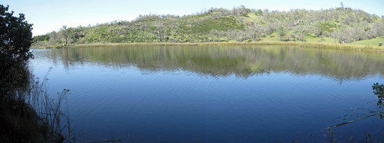
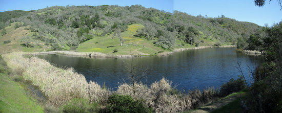
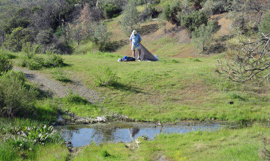
Coit Lake

Richard Leads Us Around the Lake

I See Cuben Fiber in the Distance!
Marc & Rick had come up the night before and were enjoying a lazy late afternoon. Marc had just made it to retirement and was contemplating all the backpacking adventures that awaited him.
View of Coit Lake from the North Western End
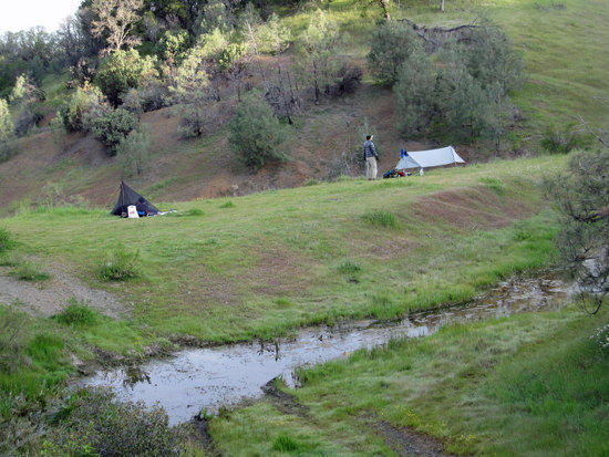
Campsite at the North Eastern End Overlooking the Lake
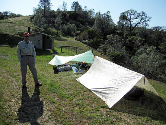
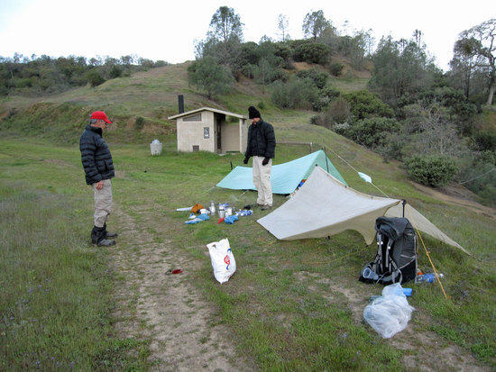
Richard Setting Up at a Flat Stop Close By

Taking a Rest and Leisurely Setting Up Camp
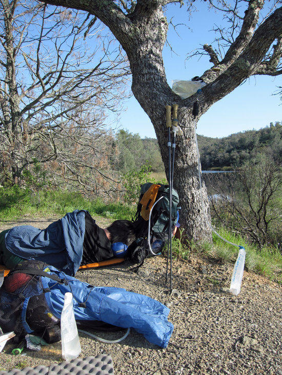
Ben Takes a Nap
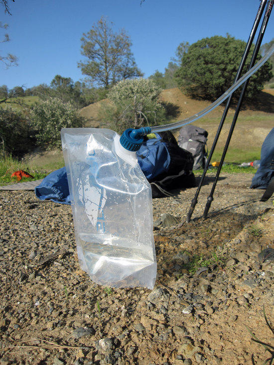
Gravity Filter Dirty Water Bag Wedged in the Tree
As it drained of dirty water it fell and knocked one of the poles onto Ben for a rude awakening.
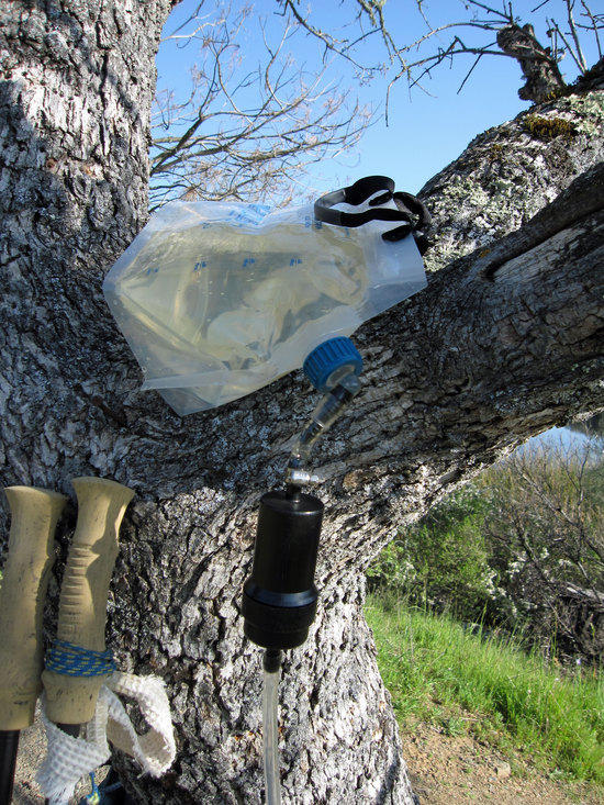
Close up of Sawyer Inline Filter attached to Playtpus 4L Water Tank
Platypus Hoser Hydration System as Clean Water Catch Bag
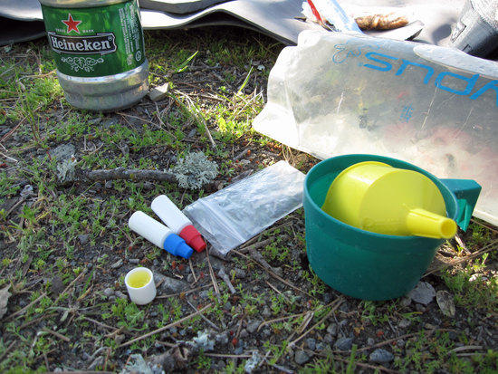
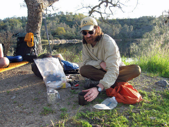
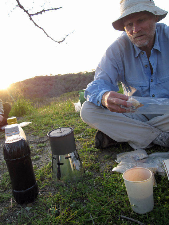
Jay Mixing Up Some Aqua Mira
Jay uses a white gas funnel filter, which is in yellow, that has a fine mesh screen built into it as a means to remove particles from his water. Pretty Clever.
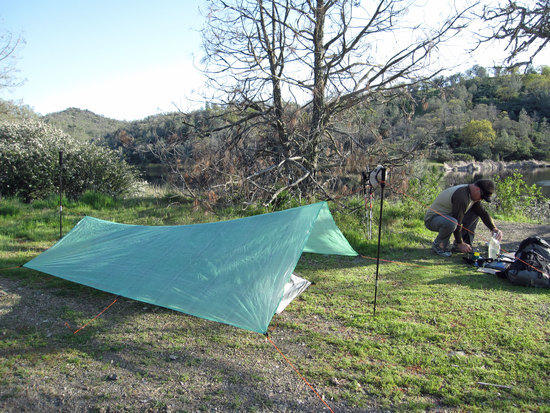

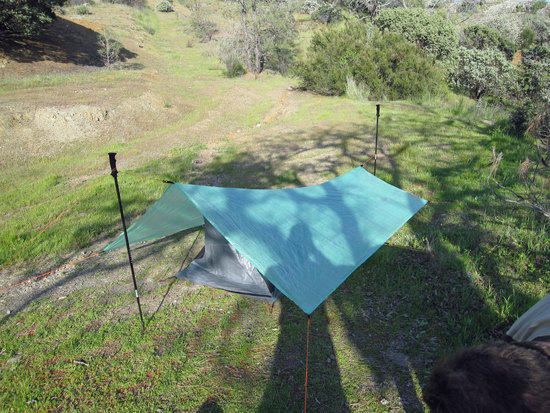
Jay’s New BPL Stealth Nano Tarp with Mountain Laurel Design Bug Bivy Under the Tarp.
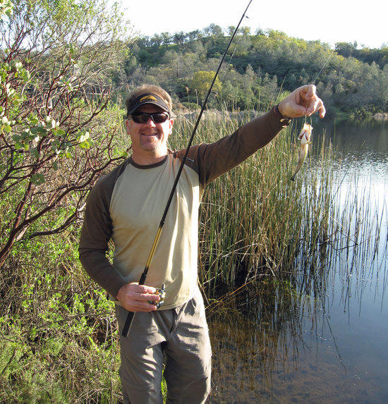
Jay’s 1st Cast

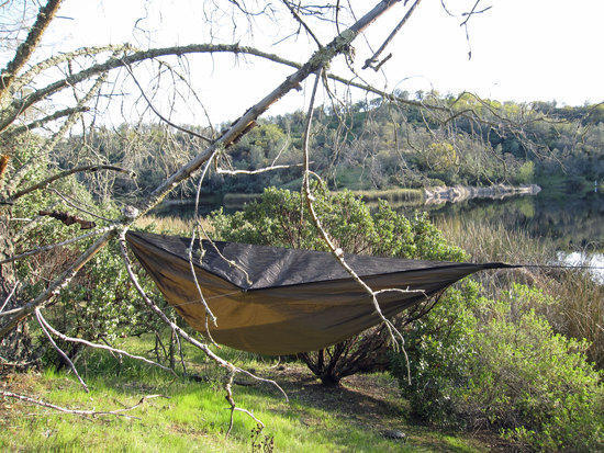
Cameron’s Hammock
Cameron Loves His Cooking Mug
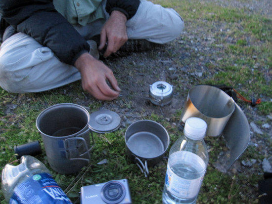
Jay’s Alcohol Stove…borrowing my Titan Kettle Lid
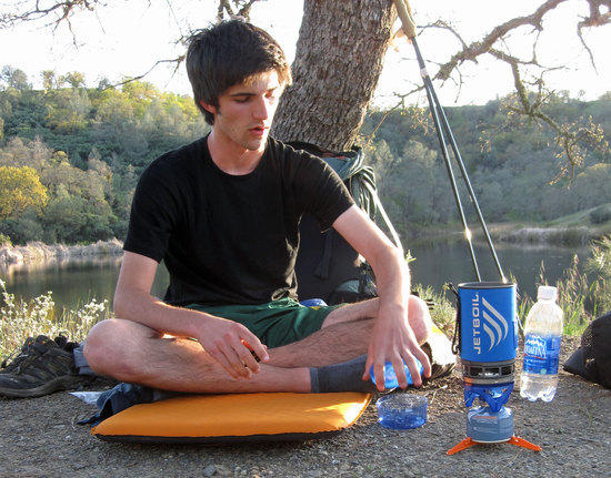
Ben’s Jet Boil

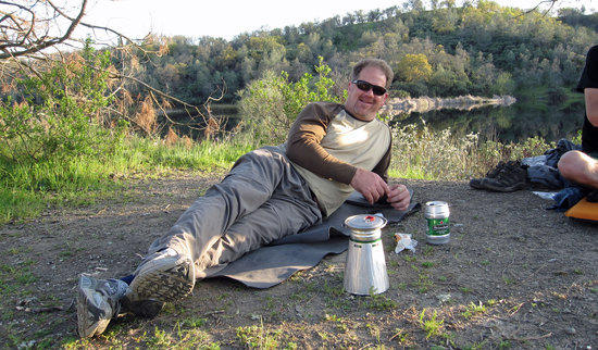
Marc’s Stove
Richard’s MLD Ti Mug & Custom/Mini Caldera Cone

Jay’s Dinner
Feather Fire Alcohol Stove, adjustable flame output
Packafeather.com
Rick’s Stove
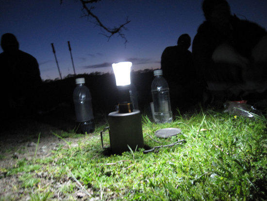
Staying up chatting about gear and past trips with each other with Richard’s Lantern

Hang Food From the Critters
Tony’s Rat Sack on the Left
Note: Missing from the photos (not sure how this happened) is Adam, who was our “bonus” BPLer to join us on the trip. As we were setting up camp, Adam hiked over to where Richard was setting up his shelter. After talking a bit, turns out that Adam was a fellow BPLer who was out on an overnighter and did not know about this trip.

Jay’s MLD Serenity Shelter
Tony’s MLD Soul Side Zip with eVent top & New JRB Quilt
There was quite a bit of condensation in my bivy and on the surface of my new JRB Sierra Sniveler Quilt, despite sleeping with the bivy open and pulled back. Relatively mild temps. Was very happy with my first time with a quilt
Ben’s Quick Farewell
Ben woke up at the crack of dawn and quickly and quietly got himself packed up and said a brief good bye before heading out. He was not rude at all. Sure that he wanted to get home at a reasonable time, as he lived in Sacramento, which was a good 3 hours away.

Marc & Rick Breakfast

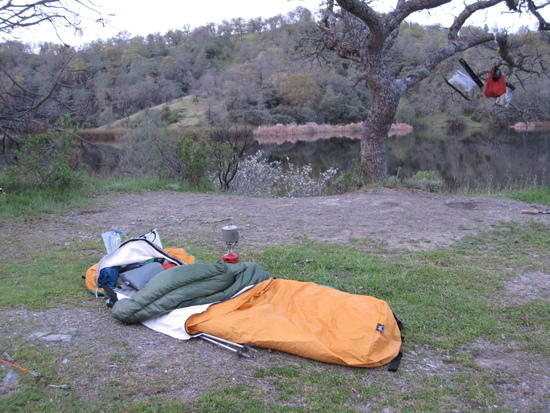
Morning at Coit Lake
Richard & Adam’s Shelters

Tony, Best Equipped Homeless Guy Sporting JRB Sierra Sniveler
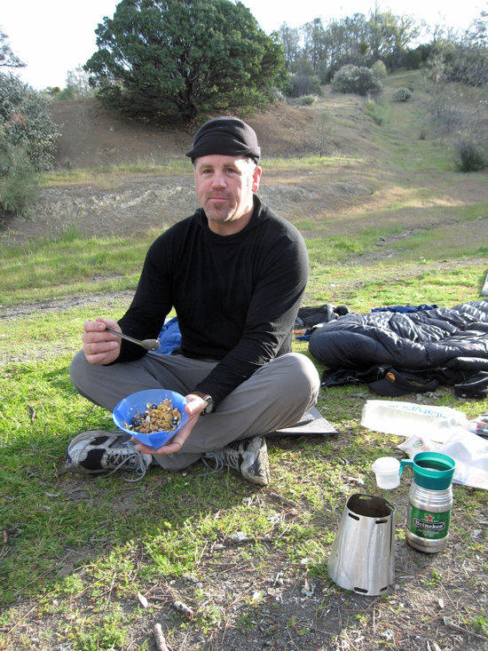
Jay’s Breakfast
Our First Photo of Adam, standing while Richard Starts Breakfast

Cameron Goes Fishing

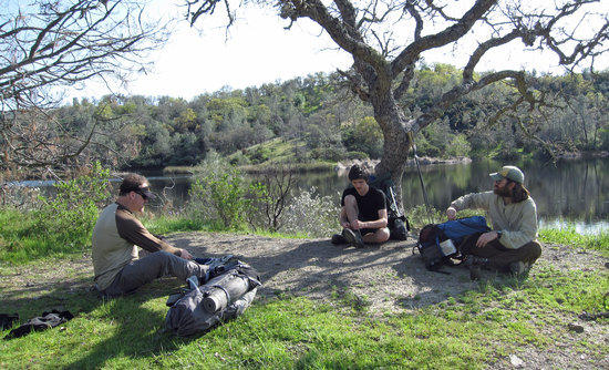
The Group

Last View of Coit Lake
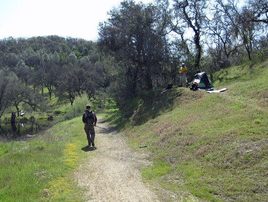
Moving Along the Fire Road
View From the Road
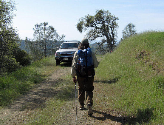
Unexpected Vehicle Coming Around the Bend
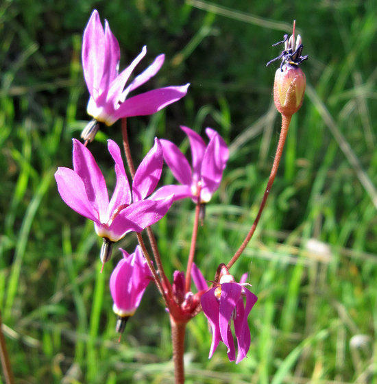

Minor’s Lettuce, makes a nice salad
Colors Along the Trail

Danger Lurks Here
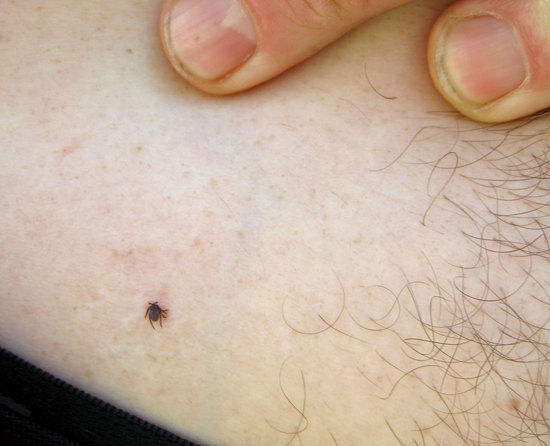
Jay Picks Up a Passenger

Adam and I Taking to Running Down the Hills
This was a lot of fun for us. We both found that rather than going painfully slow down the trails, we both liked to let gravity do its job and pull us down the hills. Think of it as like skiing down the trail, using your poles to keeping you from sliding onto your backside. Loads of fun!
Mountain Biker, Backpacker on the Side of the Trail

Sign on the Trail for the Mountain Bike Race
Good enough for the mountain bikers, good enough for us!

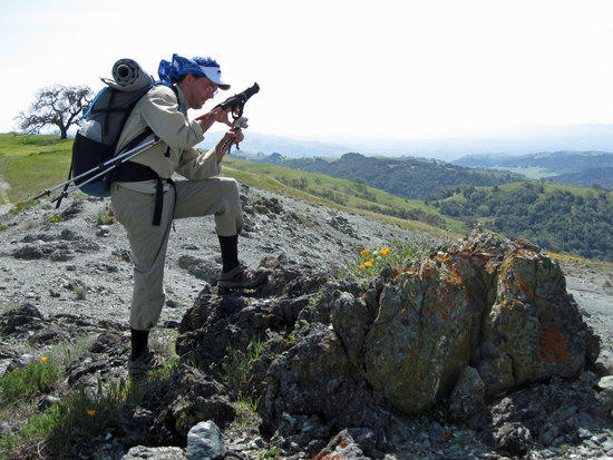
Adam Gets the Shot
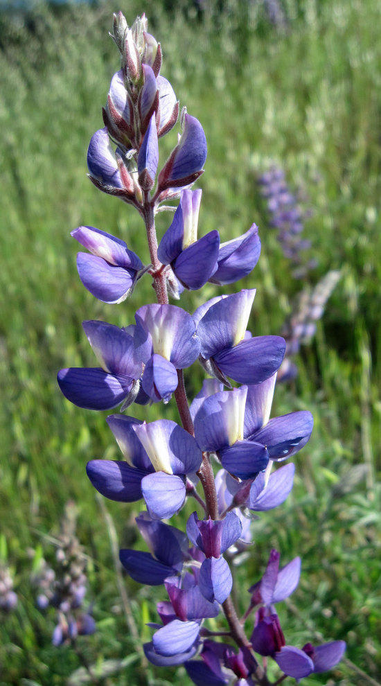
Fields of Spring

Cameron’s Balancing Act
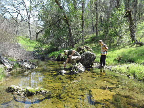
Cameron Using is Steripen

Adam Taking a Break at the Bottom of the Trail
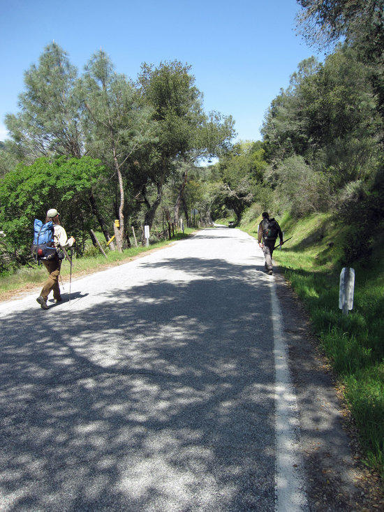
Home Stretch

The Easy Way to Travel
Back to Jay’s Truck

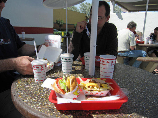
Cameron at In and Out Burger
A few of us got together at a nearby In and Out Burger, which was close to the road heading to the trail head.
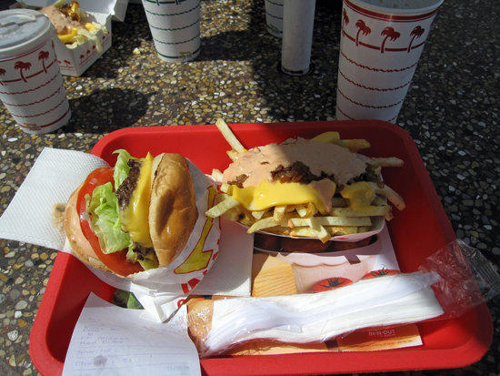
The Reward
Other photo essays by Tony:
BPLer’s GGG: Point Reyes, CA. 2nd Annual Trip
BPLer’s GGG: San Francisco Bay Area, CA.; Mt. Diablo
BPLer’s GGG: Yosemite: Hetch Hetchy Resevior to Rancheria Falls
High Sierra trail to Mt. Whitney
Yosemite: Glacier Point to Red Peak Pass to Lake Merced
Yosemite in Winter: Crocker Point & Dewey Point
