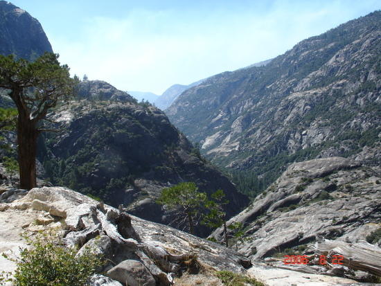
Yeah, those are the switchbacks.
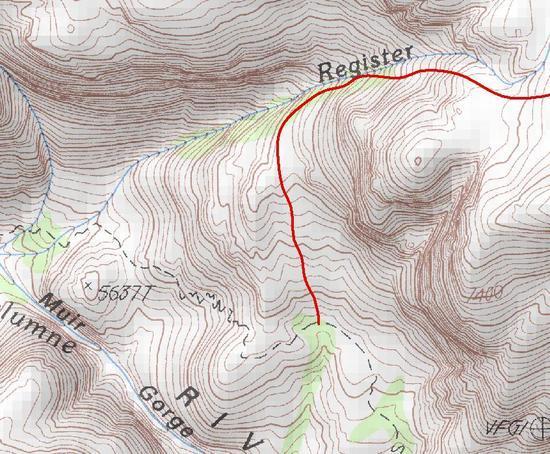
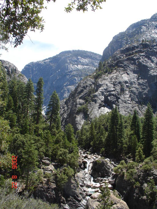
Muir Gorge is actually inaccessible by foot; the first picture is taken from fairly early on in the switchbacks leading up away from the river there, looking back northeast toward Register Creek and (eventually) Hetch Hetchy. Most of the Grand Canyon of the Tuolumne trail runs very near the river, especially as you get past the Gorge headed southwest toward Glen Aulin.
The switchbacks start maybe a half mile or so southwest of Register Creek. Shortly after the point I took that picture the trail gets very steep, and as I recall much of it is slotted between rock walls.
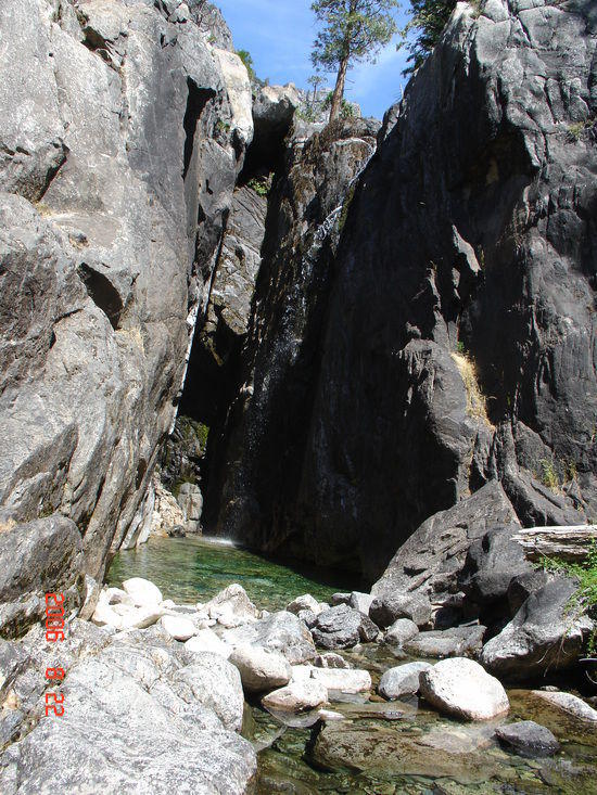
The grotto in the second picture is near the top of the climb. The picture by no means does justice to how beautiful the grotto is.
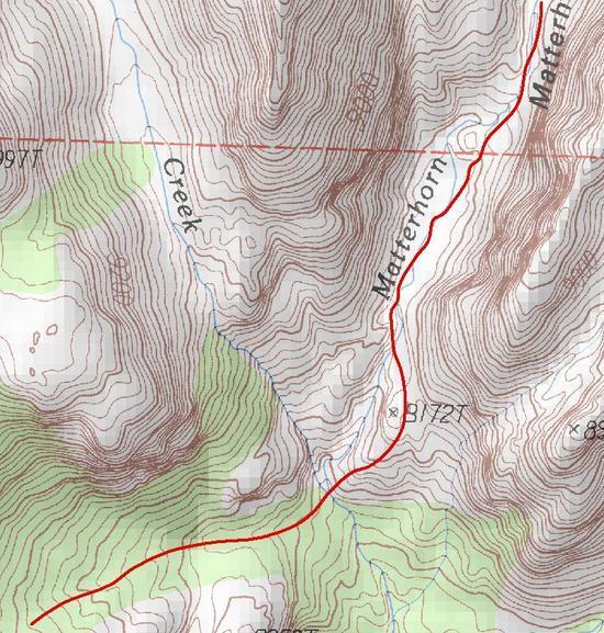
The final picture is in the area where you are discussing meeting the trail, looking basically due west in the direction of Glen Aulin and Tuolumne Meadows. Where you are talking about coming from is basically behind me when I took the picture. Once you get to that point there's probably a quarter to half mile where I think it wouldn't be that hard to get to the trail. The real question in my mind is whether you could easily or safely make your way down the Register Creek valley and then contour around the peak to get to that point. I don't think it would be too obvious when you would need to bear left, and turning too soon or too late would make getting to this point problematic.
BTW, the picture in my signature was taken near one of the falls closer to Glen Aulin on the same trip.