Topic

2,500 miles across Alaska (Yakutat – Denali – Unimak)

Viewing 6 posts - 1 through 6 (of 6 total)
David Thomas BPL Member
PostedJan 8, 2021 at 2:29 pm

Craig: Look for a PM from me about air flight options.

Philip: Mr. Binde did quite the trip there.  That article was pretty vague and left me wondering about their resupplies.  There aren’t a lot of Walmarts in towns along that route.  I’ve helped Hig and Erin set up drops along the western shore of Cook Inlet with local pilots and oil-field workers but more Binde’s route was a lot more remote and it didn’t sound like he had much support from locals.

My best guess was just getting from the PO in one town to the PO in the next and a little googling found an article with a little more detail.

Boxes packed ahead of time with food and other supplies arrived at various points along the way: https://www.aleutianseast.org/vertical/sites/%7BEBDABE05-9D39-4ED4-98D4-908383A7714A%7D/uploads/In_the_Loop_-_11-6-20.pdf

“Mom sent them off every week or two, and we just picked them at every post office, and continued on to the next town,” Binde said.  That, and lying about if there’s any fuel in the Priority Mail packages could make it all work.

PostedJan 8, 2021 at 3:22 pm

Good find on the ‘In The Loop’ pdf. I can picture a lot of the route except the bit where he seems to go UP the Copper River? How could that possibly work? Also, funny that they liked Unimak the best. That was the most miserable trip Eric Parsons had undertaken when he met Hig and Erin for the last leg of their journey. I guess good weather, having enough food, and a bear not destroying all your gear helps, lol.

David Thomas BPL Member
PostedJan 8, 2021 at 3:55 pm

The Aleutians (and Juneau) are like that – amazingly beautiful on a sunny day.  I’m never sure if they’re objectively beautiful or it’s just such a constrast with the usual wind and fog.

I haven’t been in much of the Cooper River Canyon – just a few miles around the Chitina for dip-netting reds, but in that stretch there’s an old railroad bed that’s still quite walkable with an occasional scramble where a trestle or roadbed has washed out.

But for that?  Yeah, that would be a tough canyon to move through and going upriver would impossible without a 100-hp jet drive on your boat.  Just fishing from shore, I kept my PFD on the whole time.

PostedJan 8, 2021 at 8:09 pm

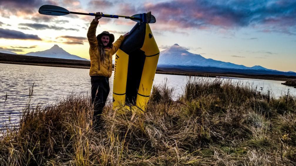
I worked on the Bering Sea side of the Alaska Peninsula for 10 summers and know the stretch from Port Heiden (Meshik R) to Cold Bay reasonably well. A fair bit of it is easy traveling, by AK standards, especially if you like beach walking (I don’t for days on end) or hummocks (compared to what, I guess). The north side is dryer, but coastal fog can be a bummer. The shield volcanoes are spectacular to look at when it’s clear, and there are lots of them.

Windy? Check.

No wind = bugs? Check.

Swamps or hummocks as only 2 surface choices? Check.

Variable weather? Check.

Bays with mud flats and endless sandbars? Check.

A bazillion bears? Double check.

Viewing 6 posts - 1 through 6 (of 6 total)
Loading...