I went from Devil’s Postpile to Yosemite Valley following Roper’s High Route for much of the way. It was six days of awesome-ness, route finding, and route-not-finding… though by the end of it I was very happy to take a shower, drink a beer or two, and hang out with my wife again.
Day One: Devil's Postpile to Minaret Lake
After a couple days exploring the town of Mammoth Lakes, my wife dropped me off at the shuttle stop down to Devil’s Postpile around noon. We had planned to check it out together, but she decided a cramped bus ride on a narrow, winding, steep road was not for her. So off she went to the bay area and down I went to the valley.
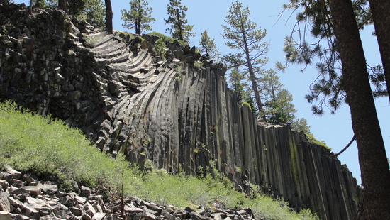
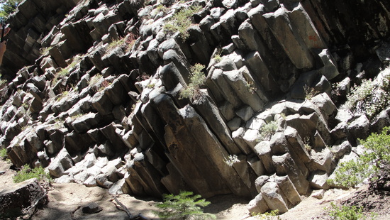
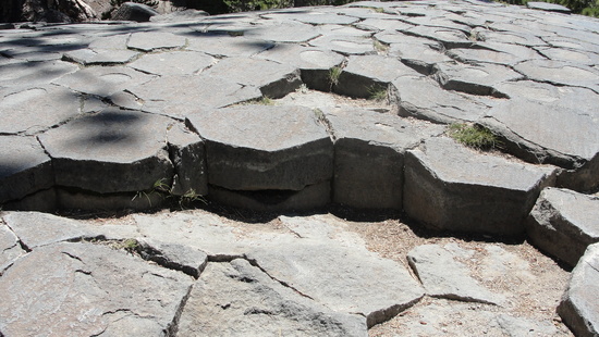
After checking out the formation of columnar basalt while weaving my way around the other tourists, I crossed the bridge to the JMT en route to the Minaret Lake trail. I moved along at a pretty good clip, until I came to a pack train of about 6 mules and just as many horses. Luckily, after a while they turned off on another trail while I pressed on toward Minaret Lake.
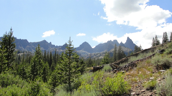
I made it to the lake a little before dusk along with a few other groups. I set up between the lake and a small pond on the lake’s south shore. That night I got a ton of condensation between my bivy and my EE Prodigy. The outer fabric of the quilt is top notch. It kept me dry and warm on the inside while the outside got wet and then frosty.
Day 2: Minaret Lake to Lake Catherine
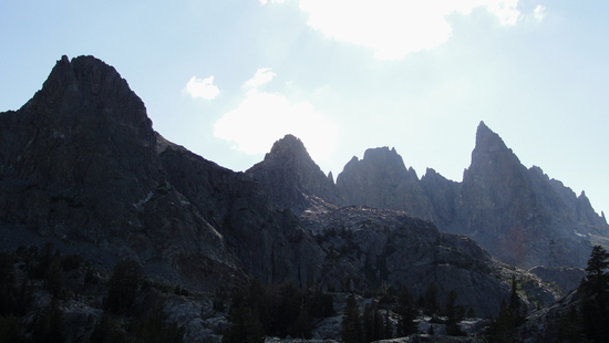
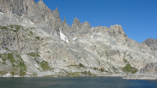
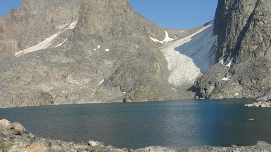
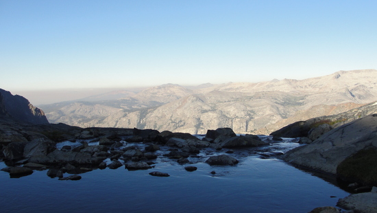
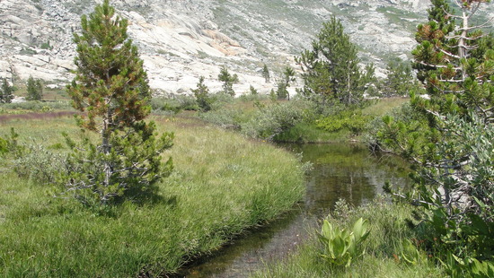
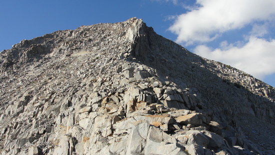
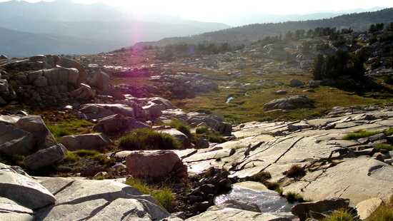
After I dried out my stuff, I set off around the south side of the lake to the “notch” between me and Cecile Lake. I wasn’t sure what to expect, but it was an easy and fun little scramble. Don't let the 2/3 description deter you!
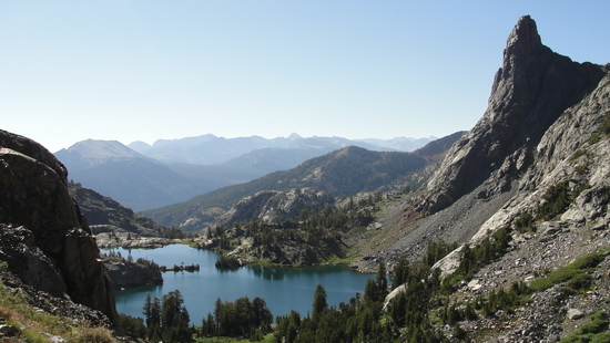
The "notch" on the left
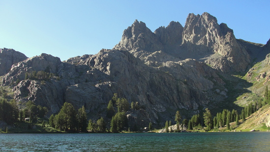
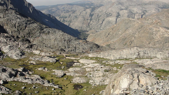
The way down from Cecile to Iceberg took a little longer with a bit more boulders than I expected. Once I got to the north side I could see a faint path high above the boulders I had just picked my way through. Oh well, I’ll get it next time…
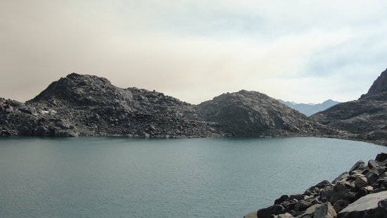
There was a group of about 8 young boys and a few adults fishing on the north side of Iceberg and another group of 20 somethings camped by its outlet. When I stopped to say Hi, the 20 somethings started asking me about a “class 2/3 pass from here to Thousand Island lake.” I told them that’s exactly where I was headed, though hopefully it should be easy walking and not class 3. I pointed out the path on the map as well as some of the visual cues Roper writes about. I left them a little worried that I may have encouraged them into something they couldn’t do, but later as I rested at Thousand Island, I saw them pop over the pass and head down. Phew.
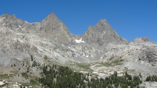
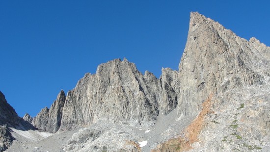
Ritter and Banner
Above Ediza
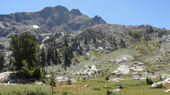
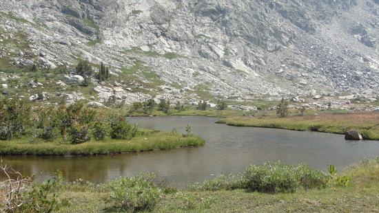
One of the Nydiver Lakes
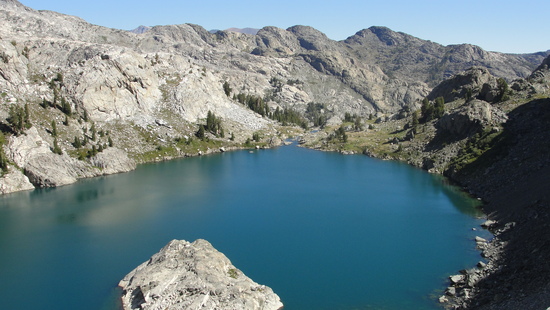
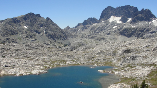
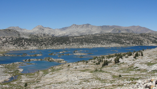
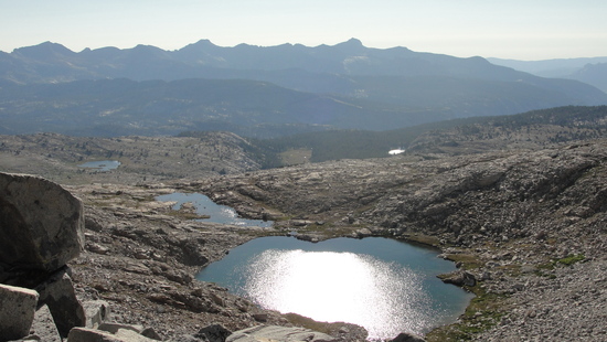
Garnet Lake
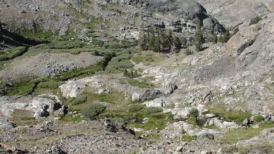
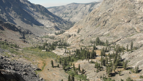
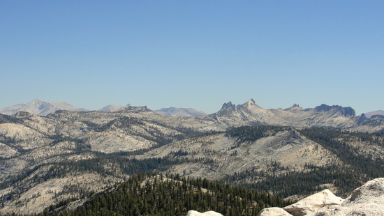
The walk from Iceberg and beyond was super beautiful. The area above Ediza is incredible. As I made my way down toward Garnet Lake and over to Thousand Island, I found myself getting tired and grumpy and kind of lonely, which was weird because I generally hike alone. I even contemplated escape routes back to Mammoth or to Tuolomne. I'll chalk it up to low blood sugar or something because after a 45 minute food break at Thousand Island, I was able to talk myself into continuing on to Lake Catherine.
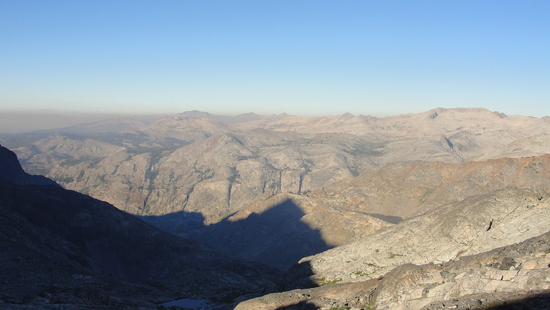
I had planned on tackling Ritter from the west the next day. I researched the route a ton and sounded like a great idea on paper. I met a couple of guys coming down from the pass as I headed up. They were through hiking the SHR N->S. As we chatted a bit I mentioned I was thinking about doing Ritter from the West. One of them told me there was a guy camped at Lake Catherine now who had attempted it, but bailed because it was “a total crap-fest." I continued on working my way through the boulders and talus groaning as my pace slowed to a crawl. I started to smell smoke as I crested the pass making my view of Banner brown and hazy. Maybe I didn't want to go through a suffer fest tomorrow… especially for hazy views.
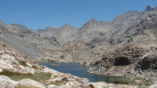
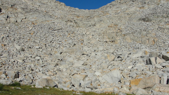
The boulder hopping really wore me down as I painstakingly crawled around the north shore of Catherine. I knew that there would be a morning full of this tomorrow on the way to Ritter. It sounded less and less appealing. I made camp near the outlet of Catherine and decided to sleep on it.
Day Three: Lake Catherine to the meadows above Foerster Creek
I woke up early and stared at the way leading to Ritter Lakes. As I packed up, I realized the only reason I was even still considering the slog up the west side of Ritter was to say I did it. I really wasn't feeling it, so why bother? I guess that's the freedom of solo trips. Now I had an extra day to fill. I’ve never been to Cloud’s Rest. Boom. I decided to press on and have an easy day hike to Cloud’s Rest in a couple days.
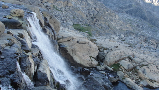
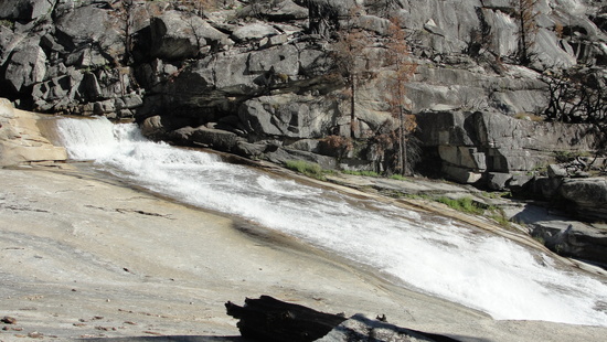
Roper mentions some class 3 cliffs to get down the waterfalls coming from Ritter Lakes. I didn’t find anything too hairy. Mostly butt slide moves and one move down where I faced the rocks. Overall, not too bad.
Once down and around the waterfalls it was straight forward and easy over to Twin Island Lakes.
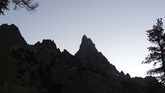
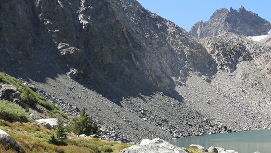
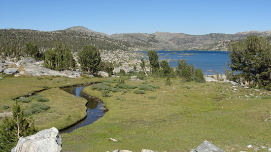
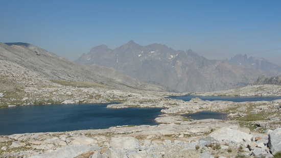
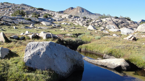
Back toward Lake Catherine
At Twin Island Lakes I met two guys from Europe doing the route and about 5 minutes later a family of three doing the route. I may have misunderstood them, but I'm pretty sure they said this was their fifth time doing the whole thing. Wow. I think one punishment would be enough for me.
As I left Twin Island Lakes I got a bit off of Roper’s route. I didn’t read my notes very carefully before I left the upper lake and ended up dropping down when I should have went up.
As you leave the lakes, don’t head down here to this nice little spot. You’ll end up too low and need to scramble up a bunch of large benches and boulders to get up to the “grassy gap north of Peak 10,280”. I wouldn’t say I was lost, but definitely not where I should have been.
Once I got back on track it was easy navigating over and down to Bench Canyon.
It was still pretty early as I went up to the aptly named Blue Lakes. I originally planned to stay there, but if I made it over the pass maybe I could make it all the way to Little Yosemite Valley tomorrow.
At Blue Lakes I chatted with two nice guys setting up their fly fishing rigs. After I told them I bailed on Ritter, one of them said he has tried that route 3 times and never made it up. Well, I was feeling pretty good about my decision now.
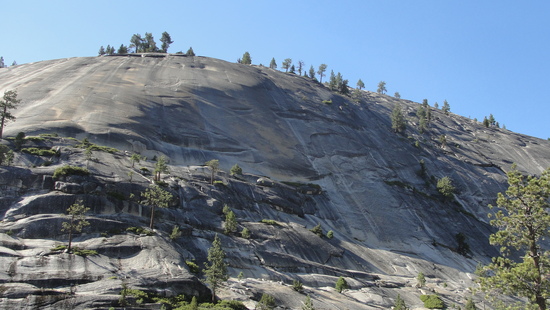
For some reason I thought the preferred route up to the pass was to go from the south side of the upper Blue Lake. Either it’s not the preferred route, or I think I got way off. I found myself up by the headwall south of the pass blocked by huge boulders. So I went back down a bit and tried to head north, only to be blocked by a steep smooth slabby chute. So back up I went, working my way up between some large blocks and around their cliffy edges. There were a couple 'just take a deep breath and go' moments but it worked out and I made it up to the pass safely with a racing heart and a jolt of adrenaline.
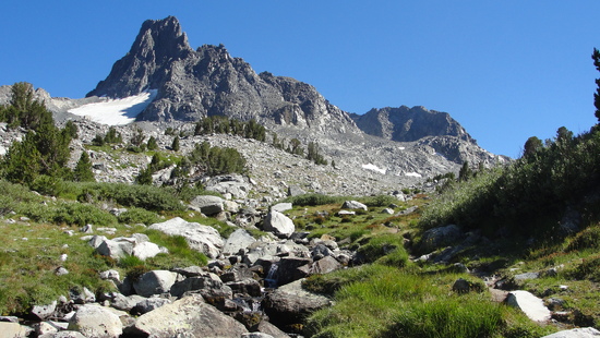
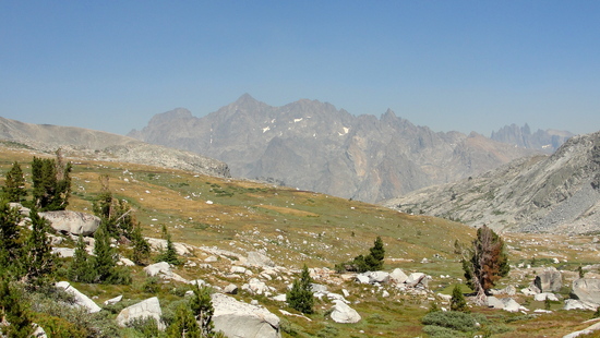
Up to Foerster Peak, on the eastern boundary of Yosemite.
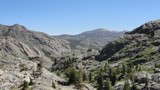
West to the Clark Range. No smoke!
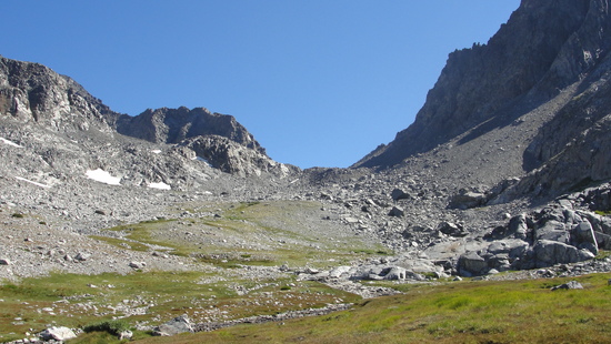
West side of Blue Lake Pass
Roper describes the west side of the pass as “steep talus” which sounds worse to me than what he wrote about the east side. It was easy though, just tedious.
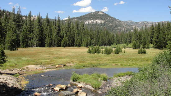
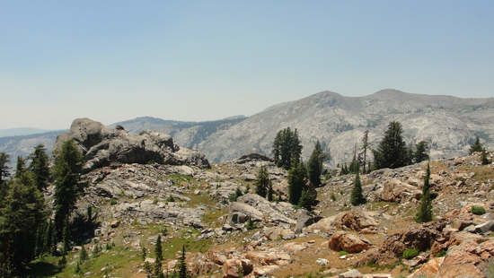
The meadows up above Foerster creek were really nice. I was so glad I pushed on from Blue Lakes. No one was around. No traces of people being around- just me, the grass, the flowers, babbling brooks, a couple bugs, and a beautiful sunset. It took some time to find a campsite not in the meadows and not super close to the water, but I eventually found a perfectly flat, pine duff covered spot under a small tree.
Day 4: Meadows above Foerster Creek to Little Yosemite Valley
It took me a little over an hour to go from my campsite down to the Isberg Pass trail. Roper said the trail may be faint, but it was in good shape wherever I crossed it. From there I picked up the pace and hustled down to Merced Lake.
I took about an hour at Merced Lake to eat and wash up, then powered down toward LYV. I thought I’d be rolling in after dark, but I got there with plenty of sunlight to spare.
I tried to not be to be a creepy rubber-necker as a passed a group of 5 or 6 young women skinny dipping in the pool above Bunnell Cascade…
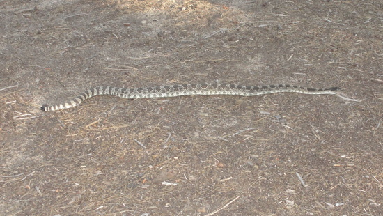
Once in LYV around 7, I nearly stepped on a rattlesnake on its way toward a couple tents. I woke up the sleepers inside who proceeded to totally freak out. “Oh my God! Are you gonna kill it!?!” “Dude! You said there were no snakes up here!” “See! We should have brought the shovel." Luckily, they chilled out and let the snake make its way out of the camp area.
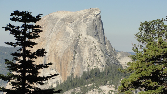
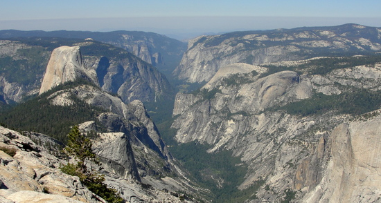
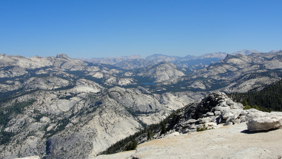
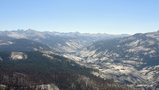
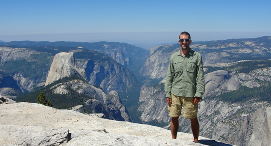
Day 5: Cloud's Rest
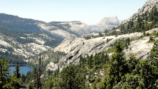
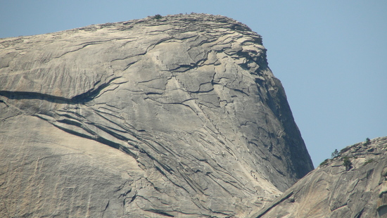
Today was an easy day hike up to Cloud’s Rest. I got up late and took my time getting breakfast before I hit up the Half Dome trail with everyone else. Once I got on the trail to Cloud’s Rest I didn’t see anyone else until I was up on top.
The conga line!
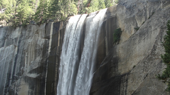
Day 6: LYV to (Big?) Yosemite Valley
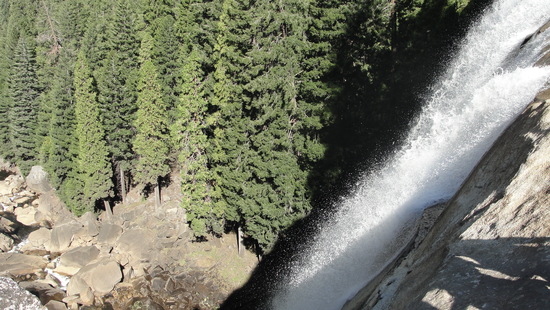
I slept in and then took my time down the Mist Trail to Happy Isles. I felt a bit self-conscious squeezing between all the clean and pleasant smelling day hikers. I got less and less responses to my “Good Morning!” the closer I got to Happy Isles. Oh well. Then it was time to catch the shuttle for some greasy food, sodas, and a giant beer while I waited for my wife to meet me at our North Pines campsite.
It was a great trip and I’m so glad I didn’t bail the second day! Thanks for all the info and previous reports that helped me plan this trip!
Oh and six days with hardly a slip, then I trip getting on the Yosemite shuttle bus and cut up my leg and hand. Dangit!

