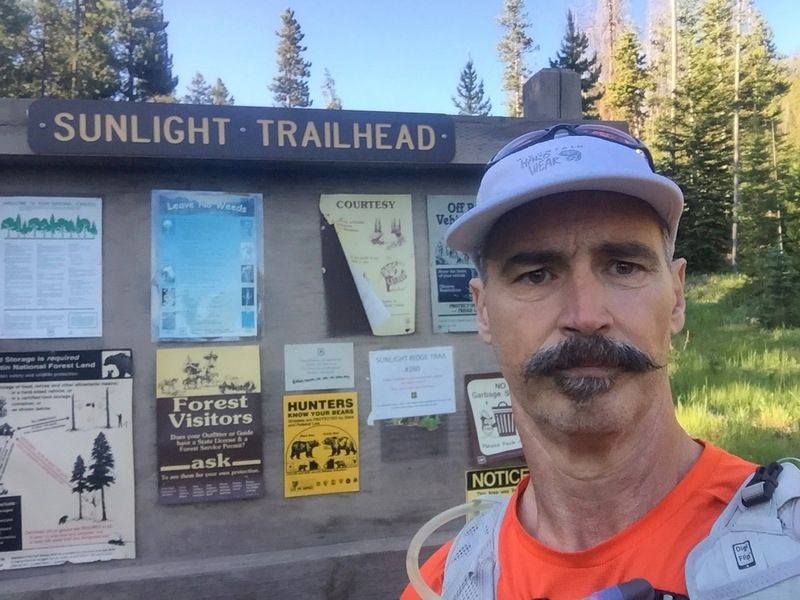
I keep trying to come up w/ a 25-ish mile DIAD (done a day) loop in the Crazies. There are plenty of point to point routes and out and back routes, but little to no loop opportunities w/o some off trail connections. I’ve put together several loops, but the off trail connections left a lot to be desired- tough scrambling/climbing. After pouring over my maps again, I came up with another potential loop of about 25 miles.
Plan was to start at the Sunlight trailhead, veer south and pick up the trail that leads up the South Fork of the Shields River, this is a dead end trail, but hiking another couple of miles after the trail ended, would put me at the headend of the drainage and a scramble up and over to Elk Ck would connect me to the trail that leads to Campfire Lake and eventually the Middle Fork of Sweetgrass Ck where I could catch the Sunlight Pass trail, up and over and back to my truck. Piece of cake!
Right of the chute I missed a turnoff for the trail (a non-existent turnoff as it turns out) and went 1.5 miles too far, backtracked and used the gps to eventually hit the trail proper- bonus miles!
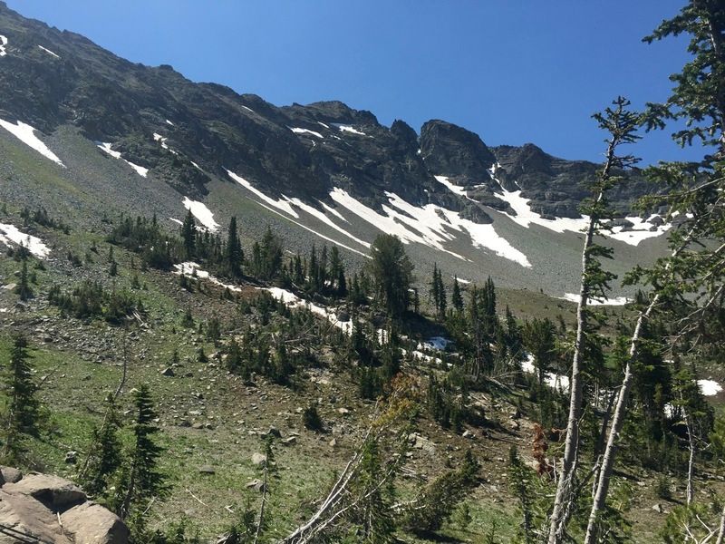
The SF trail is very lightly used and very under maintained. I lost and re-found the trail a dozen times or more. Eventually it petered out all together and I bushwhacked (lots and lots of blowdown to slow me down) a little over two miles before I got to the head end of the drainage. What awaited me was a very steep sided cirque that offered no good scramble routes. I studied it for about 20 minutes or so and was about ready to give up and head back. I discovered some elk tracks in a snowfield that looked like he was heading up so I followed them. Animals generally take the easiest routes, but this bull was the exception. He led me on a terrible scramble (don’t look down!), but eventually got me to the top. A 1/4 mile or so and I was able to hit the Elk Ck trail
Things went pretty smoothly after that, although we are in the midst of a record setting heat wave and it was hot, even at elevation. I made use of the snowbanks to fill my bladder to keep my water cool, would wade into the lakes up to my waist to cool down (also helps w/ inflammation), would linger in the many creek crossing and even found myself stuffing my ball cap w/ snow!
27 miles and 9.5 hours later, I made it back to my truck. This wasn’t the route I was hoping for, but good adventure nonetheless!
looking fresh
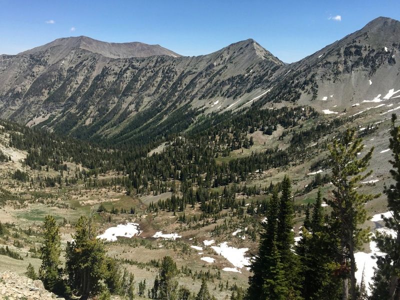
looking down the SF of the Shields
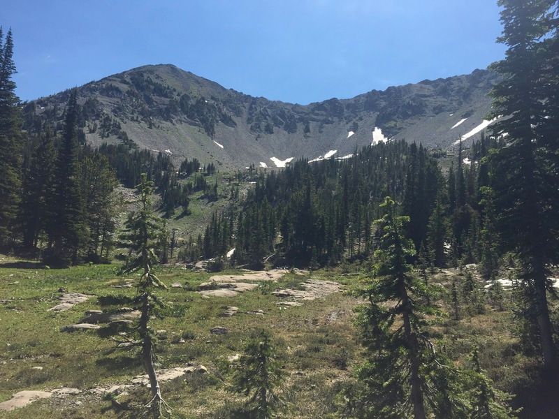
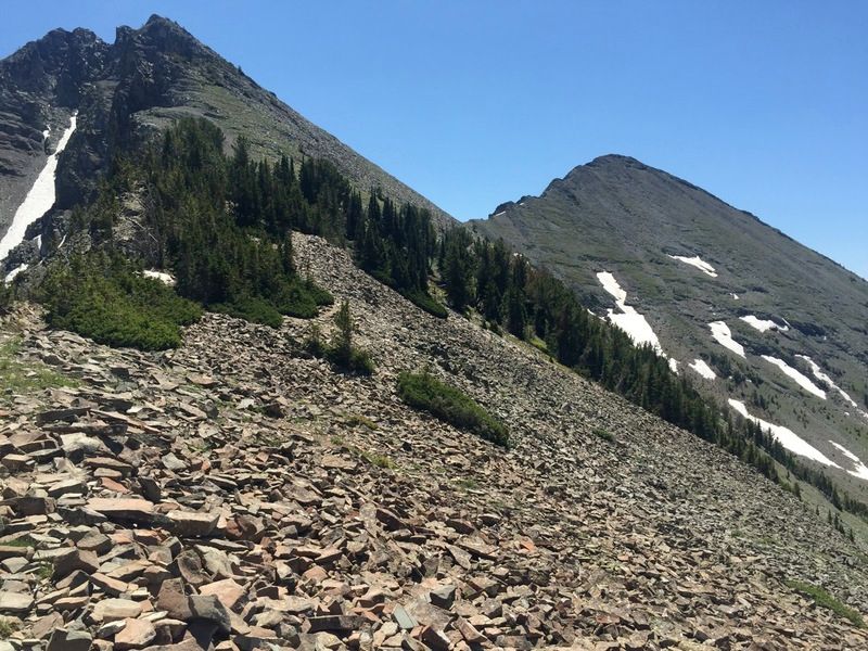
couple of angles of the cirque at the head end of the SF, pictures I don’t think quite show how steep it was
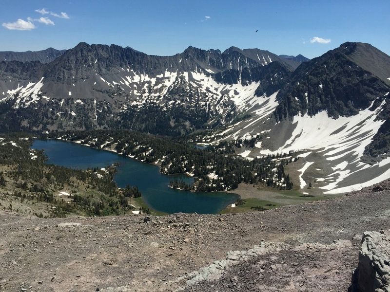
approaching Campfire Pass and Campfire Lake
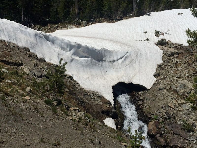
the outlet of Campfire Lake cut a neat snow bridge
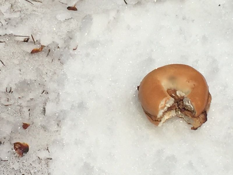
this trip I eschewed gels, cubes and the like- instead I used dates, figs, oven dried sweet potatoes and these little calorie bombs- the infamous “butthole” sandwich- lightly toasted bagel, smothered w/ peanut butter, layer of bacon and drizzled heavily w/ honey- 600= calories :)
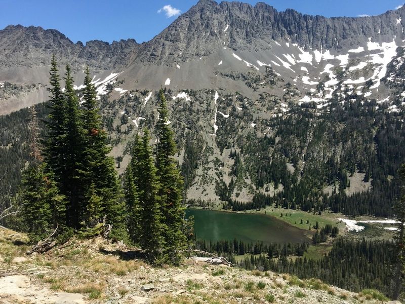
Moose Lake
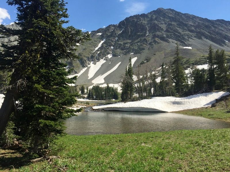
lower Sunlight Lakes, I soaked for 15 minutes or so near that snow overhang- nice and chilly!
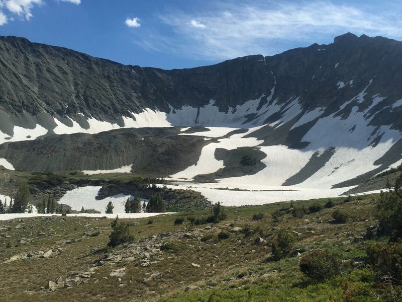
upper Sunlight Lake which was still 2/3’s frozen
thanks for looking