I haven't been anywhere picturesque the last few weeks, having done some mountain biking instead of hiking, but got in a short overnighter this week in TN.
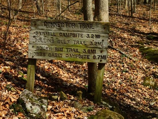
Savage Gulf is divided into two sides, connected by the aptly named Connector Trail.
The smaller of the two uses the Stone Door ranger station as the main TH, with both the Laurel Trail and Big Creek Rim trails ending at Alum Gap, and either forming a loop with the Big Creek Gulf trail and Stone Door trail that connects to the ranger station. This can be made into a figure 8 with Alum Gap at its center to include the Greeter Loop and it's numerous waterfalls.
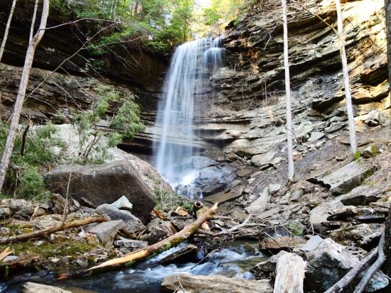
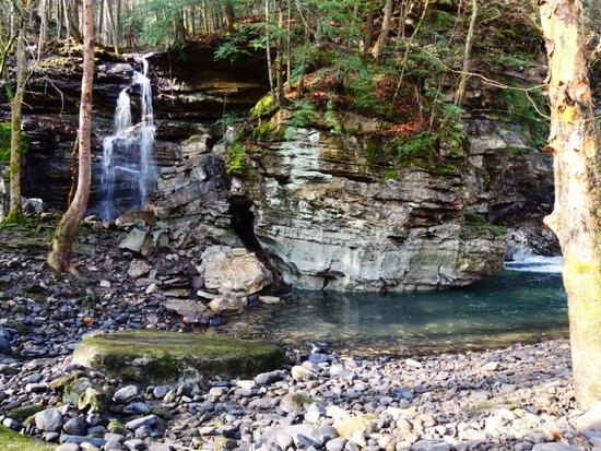
Ranger Falls is on a .4 mile spur trail from Big Creek Gulf, while Laurel Falls is just a few hundred yards past the Stone Door ranger station.
Pics are not in that order, as I actually stopped by the Greeter Loop on the way in, then hiked to Alum Gap after visiting Laurel Falls, doing Big Creek Gulf, Ranger Falls, and out via the Stone Door Trail the following morning.
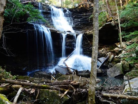
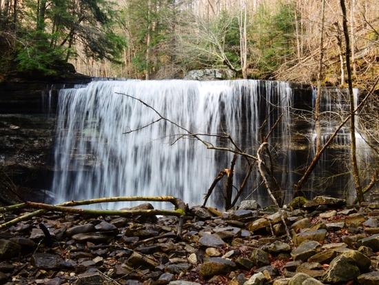
Upper Greeter Falls
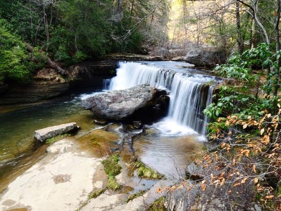
Lower Greeter Falls
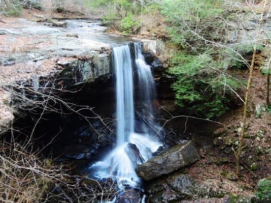
Lower Boardtree Falls-this is off-trail and requires descending into a steep gorge, so is rarely visited.
Upper Boardtree Falls from the bottom
Upper Boardtree from the top
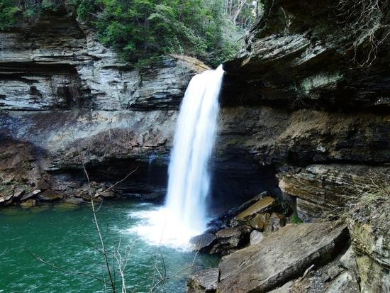
Laurel Falls
Until this week, I had not realized that Alum Gap's campsites extended all the way to the edge of Big Creek Gulf.
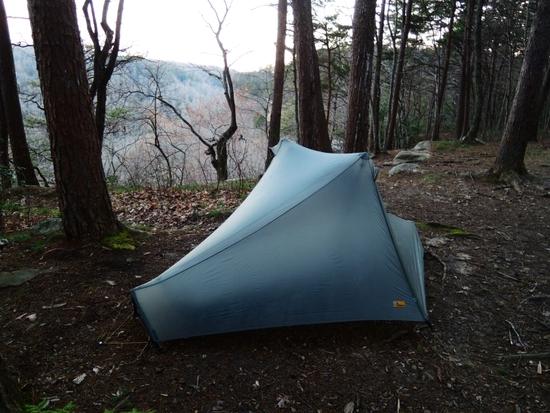
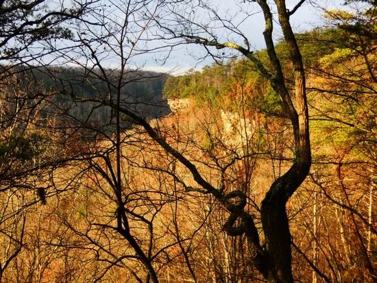
Big Creek Gulf from camp with the sun breaking through the clouds after intermittent showers throughout the night and into morning.
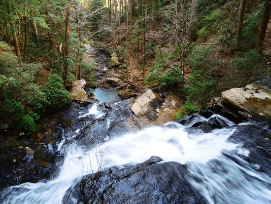
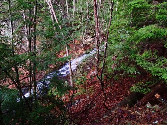
There is a cascade at Alum Gap that flows into the Gulf.
Seasonal fall and Big Creek Sink, where Big Creek disappears when its flow is low.
Big Creek going underground.
The spur trail to Ranger Falls crosses Big Creek, and was inaccessible this winter when the flow was high, but now that Big Creek is dry below the sink, you can walk right across.
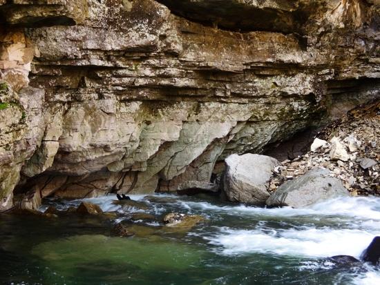
Ranger Falls also disappears into a sink at its base.
Climbing out of the Gulf, the final cliffline at the top becomes visible.
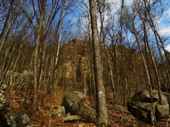
When you see that, you know you're close to the breach in the cliffline that gave Indians access into the Gulf for hundreds of years in the past.
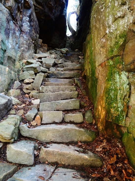
The Stone Door.
For some reason I'm always fascinated by this tree at an overlook up top.
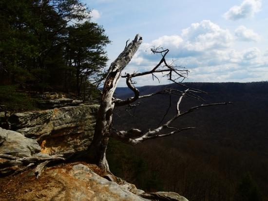
View from the cliffline, looking toward Laurel Gulf. From here, it's less than a mile back to the Stone Door ranger station.