
One amazing characteristic of Utah’s Uinta Mountain Range are the obscure and hidden terrain tucked into folds of the main ridge lines. Some of these areas are easy to access as they exist in the high tundra zone. Others are more challenging to access as they hide behind a barrier of rough, rocky terrain. All are fun as access requires off trail travel and navigation skills.
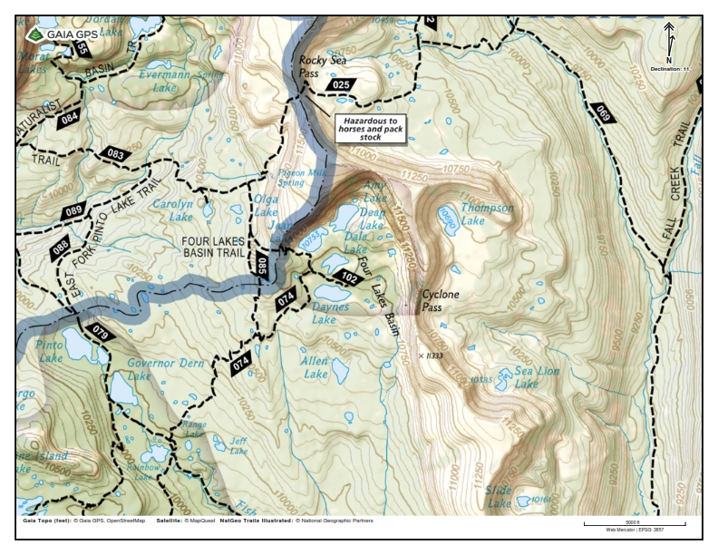
Cyclone Pass is just east of Four Lakes Basin and is accessed by the Grandview Trailhead via Granddaddy Basin or Hayden Pass using the Highline Trail and towards Four Lakes Basin. Cyclone Pass is on the eastern edge of a very popular area of the High Uintas Wilderness access by the Mirror Lake Highway.
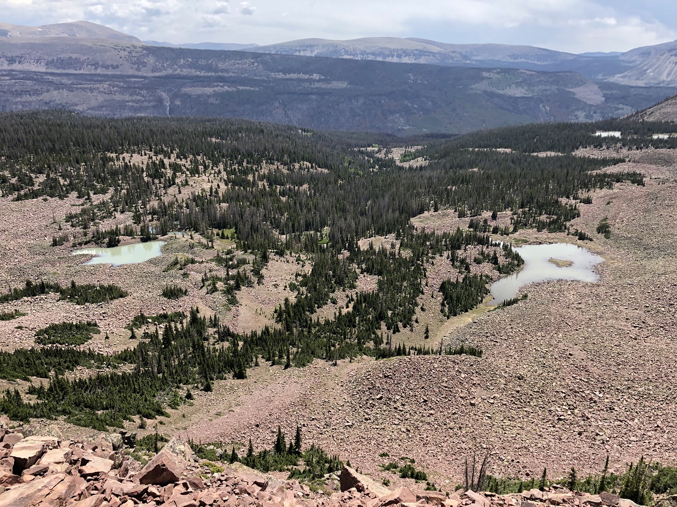
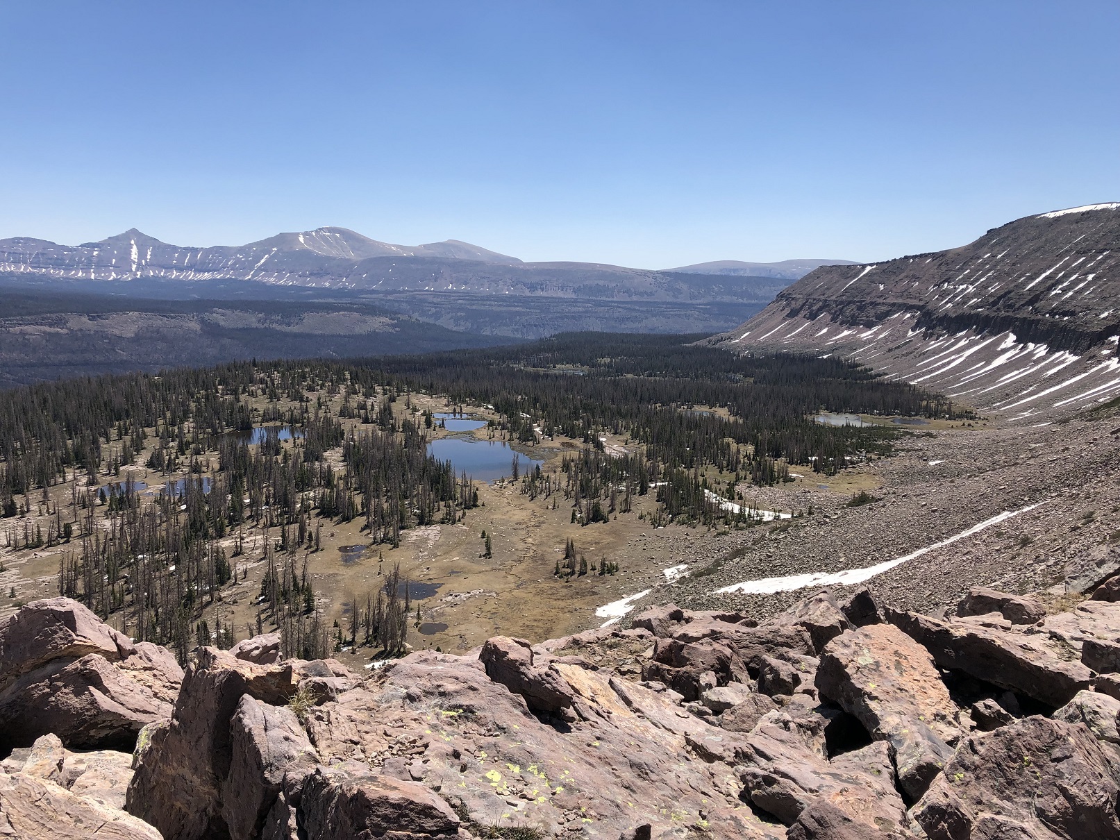
The east side of Cyclone Pass is seldom used by hikers and provides a nice off trail route and hiking options to make a loop using cyclone pass. It also can provide access Thompson Lake or Sea Lion Lake and the isolated plateau between the pass and Fall Creek Trail to the east. The day I hiked Cyclone Pass I made a loop using Rocky Sea Pass and was off trail on the east side of the ridge between the two passes. I saw no one on the east side of the approach and did not see any footprints or activity from other hikers as I approached the pass.
I was unable to find a trip report or any historic trail information for the east side of the pass on the internet and hence I am making a few notes to provide a refence for BPL members.
I travelled solo on this weekend route of about 34 miles. I utilized Gaia on my smart phone for navigation purposes.
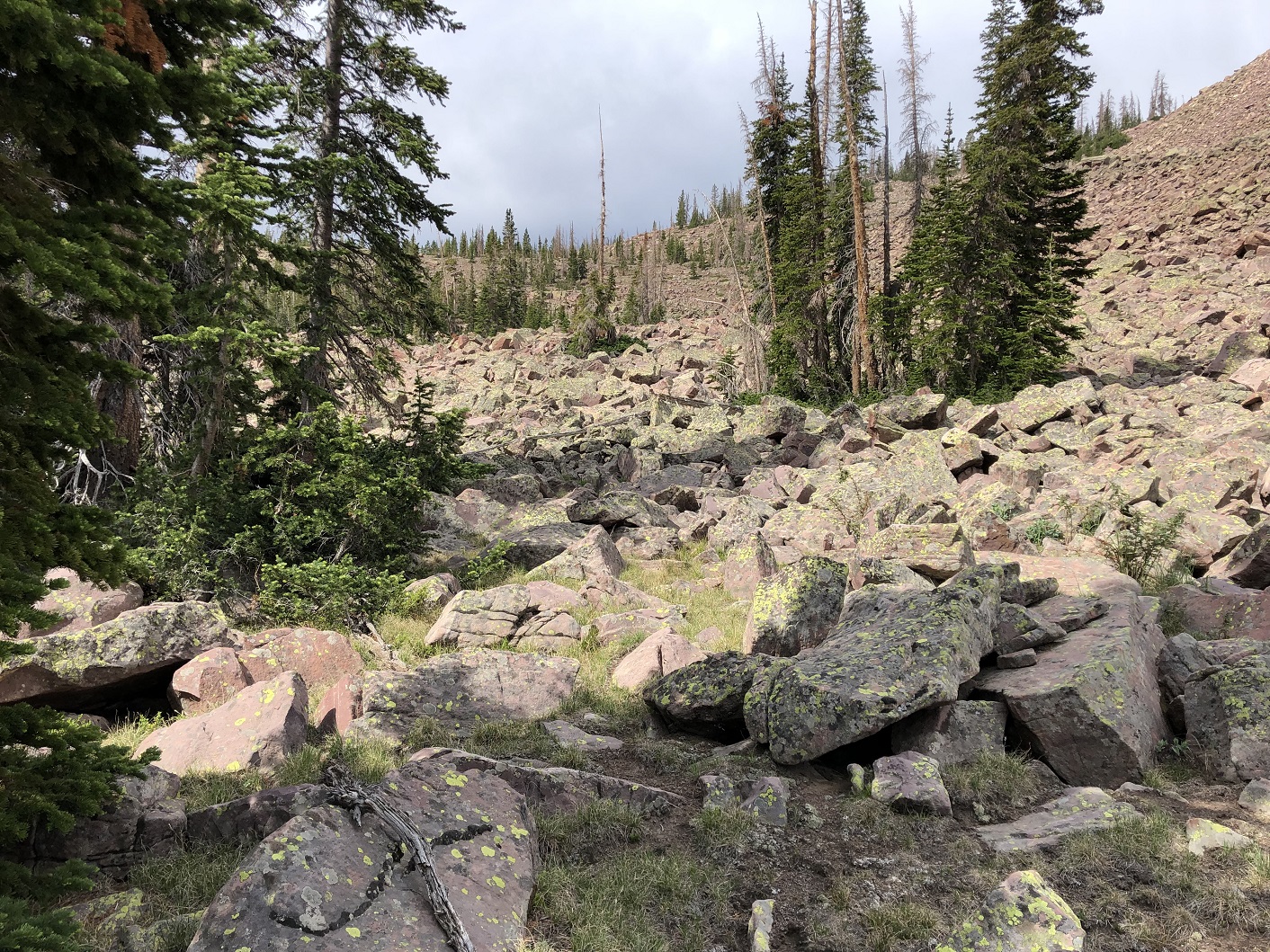
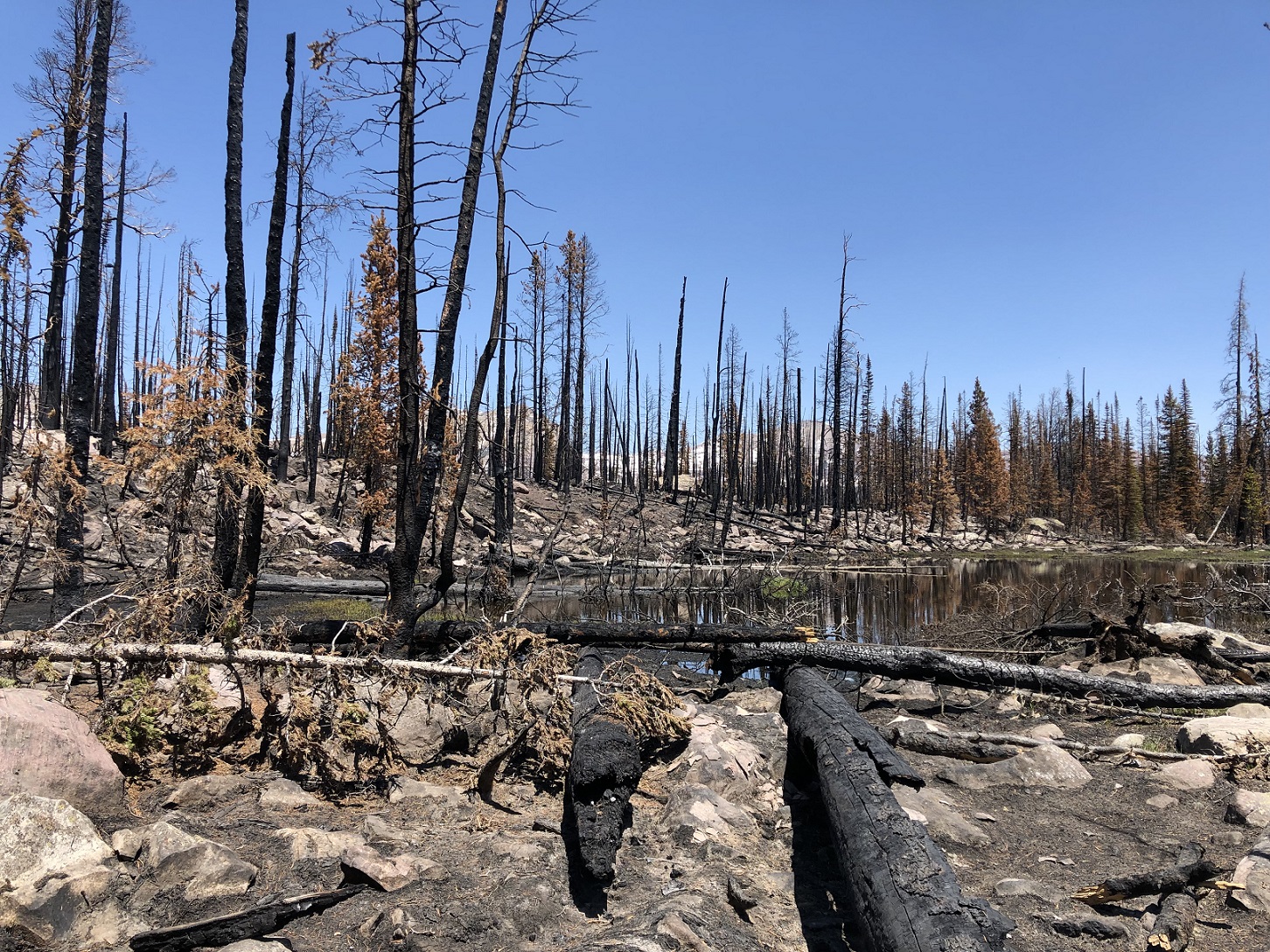
There are zones of fire damage in the Rock Creek Drainage that combined with the beetle kill can create a few down tree roadblocks.
The most challenging obstacles I faced were a few boulder fields requiring rock hopping, small zones of downed trees to loop around. There are zones of fire damage in the Rock Creek drainage that combined with the beetle kill can create a few down tree roadblocks. The steep approach to the pass on the east side had a only handful of animal tracks. The final approach to the pass (150 yds) from the east side is a step loose trail. The west side of the pass has a trail that sees some regularly use by hikers and is much easier to traverse.
If you are looking for a some off trail hiking or a little solitude close to the high use areas mentioned previously, I would highly recommend using Cyclone Pass. The easy access from the west side provides a hiker with many options. Photos included show the east side of the pass and approach with the small section of trail, view looking east from Cyclone Pass, the view from Cyclone Pass to Four Lakes Basin, an overview topo map, view south showing route at base of ridge from Rocky Sea Pass, mid point climb to plateau east of Cyclone, plateau east of Cyclone Pass looking North and a photo of a typical burn area.
Happy Trails,
Bob Fink


Home › Forums › Cyclone Pass – East Side Approach into Four Lakes Basin, High Uinta Wilderness