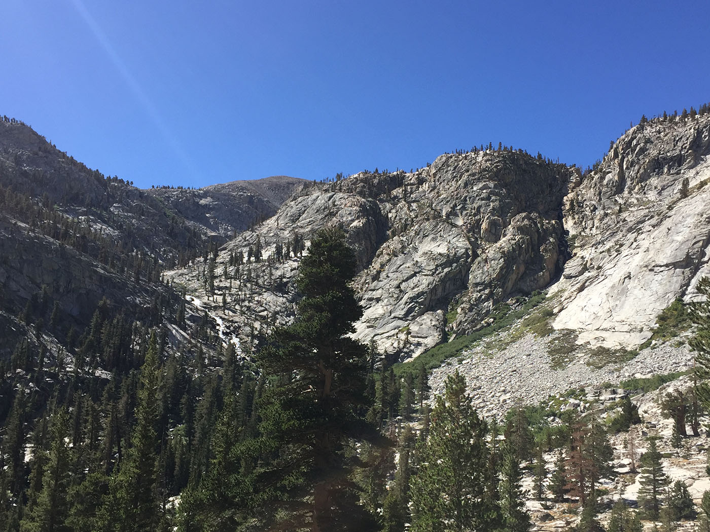
Topic
Trip Report: Kaweah Basin 2017
Forum Posting
A Membership is required to post in the forums. Login or become a member to post in the member forums!
Home › Forums › Campfire › Member Trip Reports › Trip Report: Kaweah Basin 2017
- This topic has 21 replies, 14 voices, and was last updated 7 years ago by
 Tom K.
-
AuthorPosts
-
Jan 4, 2018 at 5:35 am #3510789
Trip Report to follow in next post.
Jan 4, 2018 at 5:53 am #3510790Trip Report: Kaweah Basin, September 14-20, 2017. 84 miles, 16,000. ft ascent.
Note: The full version of the Trip Report can be found here: https://www.trailnamebackstroke.com/kaweah-basin/
 The Kaweah Basin is revered by the very few people who have visited it. Located deep in the center of Sequoia, to reach it requires a lengthy hike from either the East or West, and even then can only be accessed via a few off-trail passes, as no trails run through it. I initially plan a 9-day loop excursion that includes bagging at least two peaks, but the night before departure I see one ominous weather report that leads me to improvise a revised trip of 7 days, making sure that I am back on a trail by Day 5, as I do not want to get caught in a remote off-trail location during the first-of-season Sierra snowstorm. I take the High Sierra Trail to Kaweah Gap, leave the trail to cross over into the Basin via Pants Pass to spend three days and nights exploring the greater Basin area, and then drop down the other side and rejoin the High Sierra Trail to walk around the Kaweahs and return home.
  This map drawing shows remoteness of the Basin, in the area of the red oval, surrounded by the Kaweah Peaks Ridge.
 The High Sierra Trail is rich in vegetation and wildlife, which is refreshing to me as I have spent several weeks of the summer above the treeline in stark areas.
 Day 2: At the Kaweah Gap, the Basin and surrounding Lawson and Kaweah peaks come into view. This is where I leave the trail.
 Day 3: When I cross over a small pass into the Kaweah Basin, everything becomes more colorful. I begin to appreciate the reputation of this place; the combination of green and brown colors, trees and water features is exceptional.
  Day 4. I am treated with a dramatic sunrise light-show that challenges the photographic capabilities of my iPhone. This is the side of the Kaweahs most people never see. It is also bloody cold.
 There are a lot of unusual stone conditions.
 I exit the Basin valley and climb around a hill to reach a scenic lake at the base of Picket Creek.
 Days 5-7: I descend a 1,000 ft. rocky hill that is a small challenge to reach the Colby Pass Trail, and then return by taking the High Sierra Trail around the Kaweah Ridge and then back down the hill to the trailhead. The cold weather and snowstorms do indeed show up the day after my completion of the trip, and although I would have done fine returning on the trail, I am glad I changed my trip to avoid them. The Kaweah Basin lived up to its reputation for its beauty and remoteness.Jan 4, 2018 at 7:36 am #3510798
Looks like a very unique trip.
And, wow!
 Jan 4, 2018 at 4:15 pm #3510828
Beautiful trip, great report.
Jan 4, 2018 at 4:42 pm #3510831Thank you for sharing! Very nice!
Jan 4, 2018 at 5:21 pm #3510835Great report. I have been eyeing that area for awhile and have not seen a lot written up on it.
Jan 4, 2018 at 6:05 pm #3510840Thanks for sharing! Fantastic.
Jan 4, 2018 at 9:13 pm #3510870Excellent, detailed trip report with nice photos – thanks Cameron. Pants Pass looks like an interesting option for completing a Big SEKI Loop type of trip, going from Kaweah Gap over Pants Pass directly to upper Colby Pass, bypassing the lower Kern.
Jan 5, 2018 at 3:05 am #3510920A most excellent report, Cameron, one that brought a lot of fond memories flooding back from times past. You really captured the mystique of Kaweah in both pictures and words. I thought your route was very creative. I would be surprised if the traverse below the Pickets, from Pants Pass to the last saddle before Picket Guard Peak, has been done by more than a handful, if at all. When you descended to the Kern Kaweah River, did you come straight down the slope, or did you use the gently sloping ledge system that deposits you just east of Gallats Lake? It looked to me from your map like you just came straight down, which must have been “interesting”. That slope is really steep.
Thank you for posting.
Jan 5, 2018 at 5:04 am #3510928When you descended to the Kern Kaweah River, did you come straight down the slope, or did you use the gently sloping ledge system that deposits you just east of Gallats Lake? It looked to me from your map like you just came straight down, which must have been “interesting”. That slope is really steep.
Hi Tom. I came pretty much straight down, you can see it in the map I show. I only have seen one report through there, and that was to go as you say, across to Gallats. I made my best guess to cut all that out, and as I mention, I was lucky because there are any number of places where I could have hit the large impassible rocks. There was even almost no Class 3. I suspect some people go up that way when traversing west on the way to Picket Guard Peak, but it is always more difficult to figure these things going down than when you have the privileged view going up. I certainly wish I had another half-day to bag Picket Guard Peak.
Jan 5, 2018 at 2:29 pm #3510942Awesome Trip Report, Thanks for sharing!!!!!
Jan 5, 2018 at 10:04 pm #3510981“I only have seen one report through there, and that was to go as you say, across to Gallats.”
That ledge route can be hard to find and, in any case, would have cost you an unnecessary 3/4 mile or so of hiking when you were time constrained. You were better off doing it the way you did, IMO. The line you chose was certainly better than the one I ended up on back in 2004, a steep, dirty, loosey goosey gully where rockfall was a constant danger. I suspect there are any numbers of ways down that slope, but I never had the stomach to go back and test the hypothesis. If you ever do another hike in there, and it sounds like you might, following the unnamed east fork of Pickett Creek down from the reflection lake at the lip of the basin is a delightful exercise in micro route finding that pops you out at Rockslide Lake. It is also drop dead beautiful, especially when the stream is flowing high.
Jan 5, 2018 at 10:29 pm #3510986following the unnamed east fork of Pickett Creek down from the reflection lake at the lip of the basin is a delightful exercise in micro route finding that pops you out at Rockslide Lake.
Yes, I wondered about both creeks and the divide between them as well, and took this shot lower down to study at home. At the time I was a bit concerned about creek-lining brush, which I do not enjoy.
 Jan 5, 2018 at 11:50 pm #3511001
Inspirational! Thank you for sharing this.
Jan 6, 2018 at 3:16 am #3511019“Yes, I wondered about both creeks and the divide between them as well, and took this shot lower down to study at home. At the time I was a bit concerned about creek-lining brush, which I do not enjoy.”
That is an excellent shot to use for analyzing the alternatives. Once you cross the Kern Kaweah River at the west end of Rockslide Lake, you will stay on the left side of Pickett Creek until you reach the very small lake about 300-400′ below Kaweah Basin proper, then cross over a log jam and work your way up a series of cliff bands on the right side of the creek. Very close to the creek is best. The west fork gets into some serious class 3, and takes you to the last lake in the Pickett Creek chain, rather than Kaweah Basin. There is not much brush along the route, and what there is is easily navigable.
Jan 6, 2018 at 4:09 am #3511025Galen Rowell, the photographer, traveled the world climbing, hiking and taking shots. He once said that his favorite place for all of this was the Sierra. Who knows, maybe the next day he said something else. But this kind of adventuring told by Cameron, in this sort of world class scenery, available in good weather over a long season, is exceptional. We should thank our lucky stars to have it!
I’ve run into Europeans hiking in the Sierra who can’t believe that so many miles of actual wilderness are available here. (and yeah we can quibble about ‘actual wilderness’ but you see my point.) I live in California, grew up hiking in Washington State, and man, over the years the easy accessibility of endless miles of (near) wilderness has really enriched my life.
so, thanks, universe! You too, Cameron, for the great report!
Jan 6, 2018 at 9:48 pm #3511097I did the BSL this summer and so I actually know where somebody is talking about in the Sierra for once!
I first saw the Kaweah peaks coming up from Moraine Lake and thought they were beautiful. After I went west through the gap, of course, I forgot all but what was before me as this section headed west MUST be some of the most spectacular scenery on earth. Upon seeing this report it makes me want to go and explore there again.
Jan 7, 2018 at 1:55 am #3511127Interesting report and indeed it is a fine place to visit. For those who might be interested, below are the tracks for a couple of trips we took in the same area. Pants Pass (or Sh*t your Pants Pass as it was originally named) is something we would probably never do again: very loose, steep, and unpleasant. Once over though, the country is glorious. The traverse of Pickett Guard was quite straightforward and a fine way into the Kaweah Basin area. So was the traverse over Lawson Peak. You can also access the basin via Picket Guard Creek from the Kern: climb the slopes north of the outlet of the creek via some nice small lakes. Even easier is to follow Chagoopa Creek and then walk over the pass just east of Mt. Kaweah.

James and Amy
Jan 7, 2018 at 2:13 am #3511129Jan 7, 2018 at 5:27 am #3511154Pants Pass (or Sh*t your Pants Pass as it was originally named) is something we would probably never do again: very loose, steep, and unpleasant. Once over though, the country is glorious. The traverse of Pickett Guard was quite straightforward and a fine way into the Kaweah Basin area. So was the traverse over Lawson Peak. You can also access the basin via Picket Guard Creek from the Kern: climb the slopes north of the outlet of the creek via some nice small lakes. Even easier is to follow Chagoopa Creek and then walk over the pass just east of Mt. Kaweah.
Hi Amy
Thanks for the tracks, too bad the pics on BPL are so small. Some comments about your post:
-You may have indeed gone over P*ss in Your Pants Pass, but it is NOT the same as Pants pass, which is just south of it, and is definitely the preferred pass over P*ss. Anyone making this journey should consult R J Secor’s book, where he calls out the difference between the two, and also consult the nice pass database at Highsierratopix.com. Yes, P*ss in Your Pants is not favored.
-The saddle just east of Lawson is considered passable, you took it, and I had hoped to take it, but it often has late-season steep snow, so buyer-beware. It looks like fun to continue on to the peak from there. On the advice of the ranger I opted to continue on down until the Picket Guard Pass.
-It looks like you took a similar path to what I did coming down from the last Picket Lake to the Colby Trail.
-Many report that the pass just east of Kaweah, sometimes referred to as Kaweah Pass, is the most unpleasant of the passes on the west side, with a lot of loose vertical rock. Opinions vary a lot when it comes to Class 2 very loose material.
BTW, I just came across this scary post about taking a bad fall in the Kaweahs. There is also another post of bagging the surrounding Kaweahs, before the fall. Good reminder to always carry a SPOT when off-trail:
http://www.firstchurchofthemasochist.com/2011/08/climbing-fall-in-9-lakes-basin-sar.html
Jan 10, 2018 at 7:30 am #3511621Thanks for sharing this! An adventurous route in beautiful country. I’ve explored embarrassingly little south of the Kings-Kern, but your trip report is yet another reminder that I need to dedicate some time to visiting the region, and soon.
Jan 10, 2018 at 10:42 pm #3511727“The saddle just east of Lawson is considered passable, you took it, and I had hoped to take it, but it often has late-season steep snow, so buyer-beware.”
It is definitely passable. I took it on a trip in August, 1998. There is some tedious shale down low on the approach up out of the Kern Kaweah River valley, and the upper reaches were a sun cupped snow slope that made for slow, but not dangerous, hiking. Of course, conditions will vary from year to year, and the snow level could make a significant difference, from icy or rocky debris in a low snow year to post holing or step kicking in higher snow years. We were toward the step kicking end of the continuum. It’s a nice way to see both the Pickett Creek drainage and the Kaweah Basin proper. Highly recommended as a point of entry.
-
AuthorPosts
- You must be logged in to reply to this topic.
Forum Posting
A Membership is required to post in the forums. Login or become a member to post in the member forums!
Our Community Posts are Moderated
Backpacking Light community posts are moderated and here to foster helpful and positive discussions about lightweight backpacking. Please be mindful of our values and boundaries and review our Community Guidelines prior to posting.
Get the Newsletter
Gear Research & Discovery Tools
- Browse our curated Gear Shop
- See the latest Gear Deals and Sales
- Our Recommendations
- Search for Gear on Sale with the Gear Finder
- Used Gear Swap
- Member Gear Reviews and BPL Gear Review Articles
- Browse by Gear Type or Brand.

 The Kaweah Basin is revered by the very few people who have visited it. Located deep in the center of Sequoia, to reach it requires a lengthy hike from either the East or West, and even then can only be accessed via a few off-trail passes, as no trails run through it. I initially plan a 9-day loop excursion that includes bagging at least two peaks, but the night before departure I see one ominous weather report that leads me to improvise a revised trip of 7 days, making sure that I am back on a trail by Day 5, as I do not want to get caught in a remote off-trail location during the first-of-season Sierra snowstorm. I take the High Sierra Trail to Kaweah Gap, leave the trail to cross over into the Basin via Pants Pass to spend three days and nights exploring the greater Basin area, and then drop down the other side and rejoin the High Sierra Trail to walk around the Kaweahs and return home.
  This map drawing shows remoteness of the Basin, in the area of the red oval, surrounded by the Kaweah Peaks Ridge.
 The High Sierra Trail is rich in vegetation and wildlife, which is refreshing to me as I have spent several weeks of the summer above the treeline in stark areas.
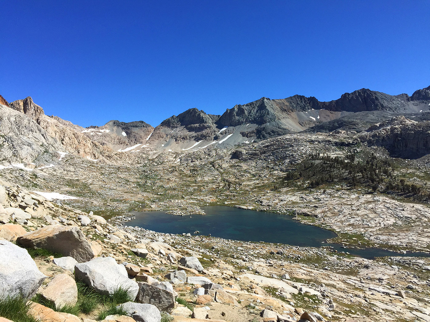 Day 2: At the Kaweah Gap, the Basin and surrounding Lawson and Kaweah peaks come into view. This is where I leave the trail.
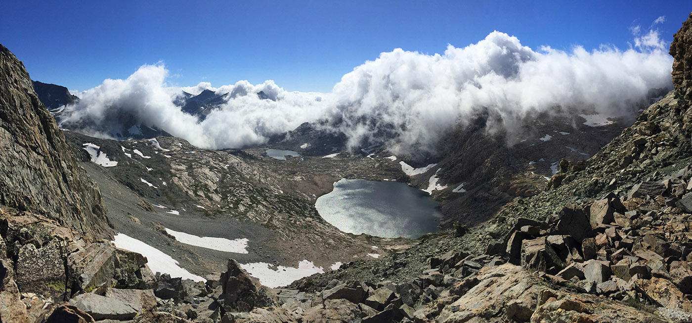
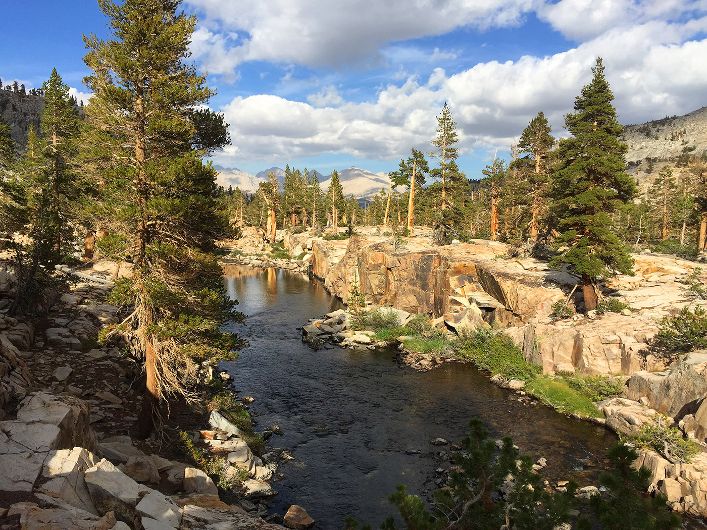 Day 3: When I cross over a small pass into the Kaweah Basin, everything becomes more colorful. I begin to appreciate the reputation of this place; the combination of green and brown colors, trees and water features is exceptional.
 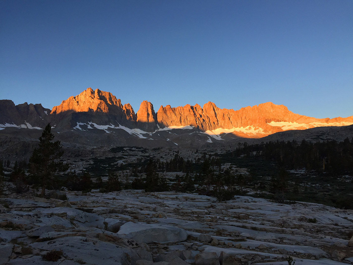 Day 4. I am treated with a dramatic sunrise light-show that challenges the photographic capabilities of my iPhone. This is the side of the Kaweahs most people never see. It is also bloody cold.
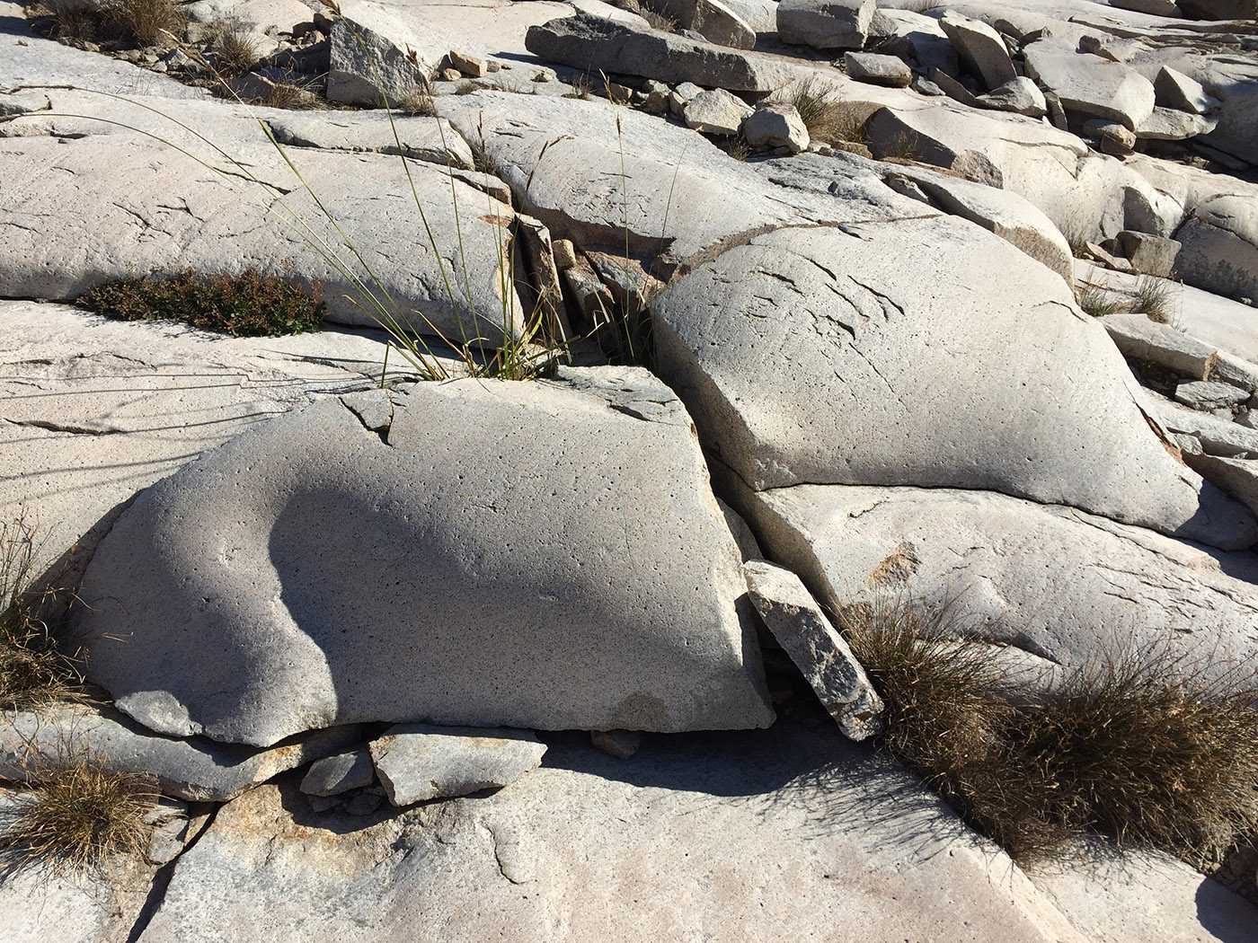 There are a lot of unusual stone conditions.
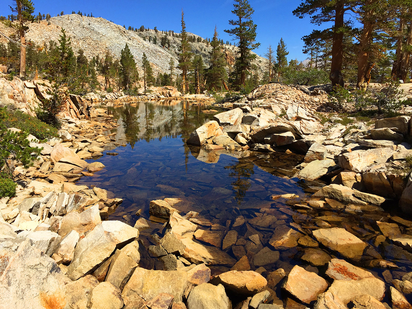
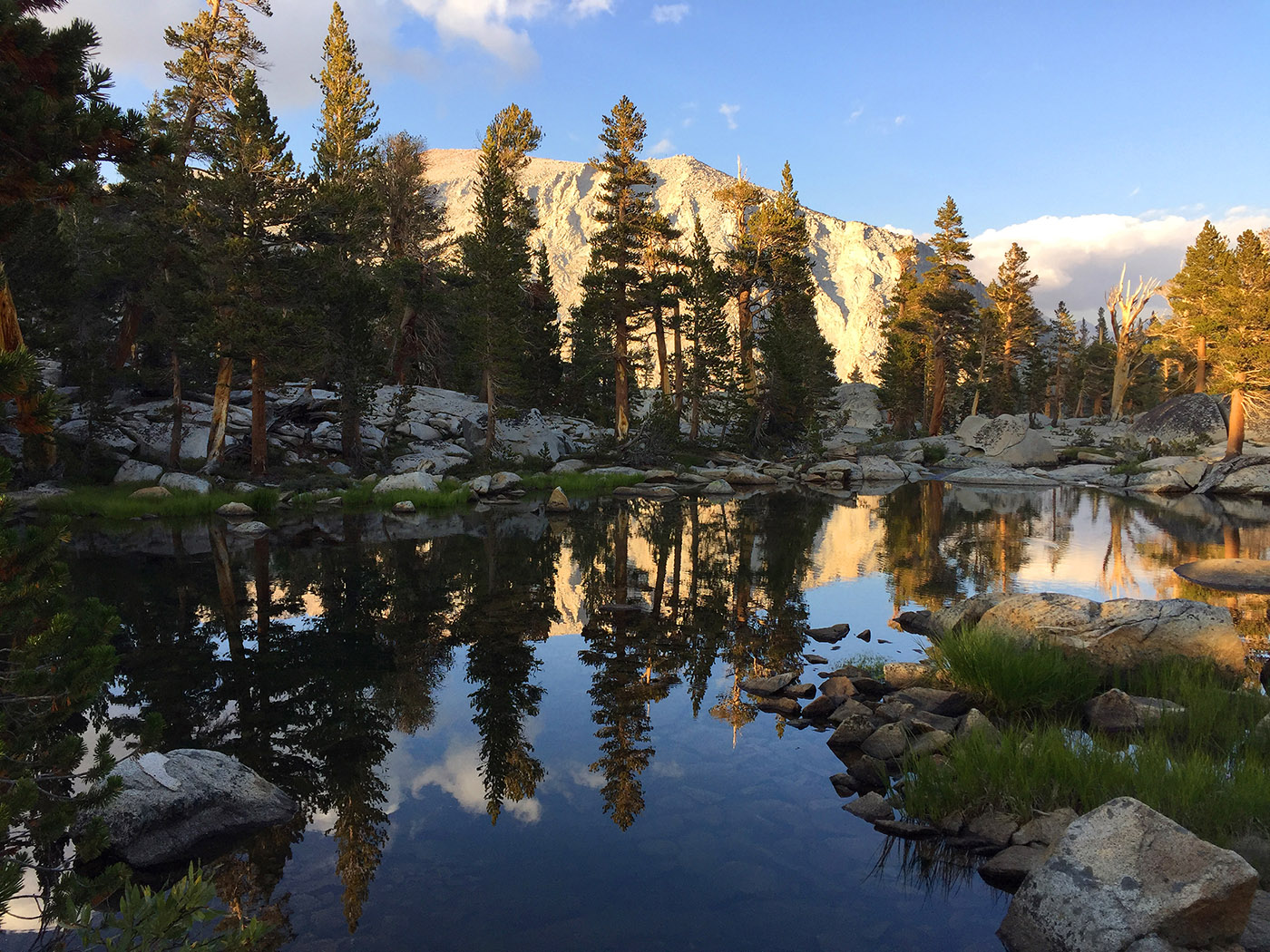 I exit the Basin valley and climb around a hill to reach a scenic lake at the base of Picket Creek.
 Days 5-7: I descend a 1,000 ft. rocky hill that is a small challenge to reach the Colby Pass Trail, and then return by taking the High Sierra Trail around the Kaweah Ridge and then back down the hill to the trailhead. The cold weather and snowstorms do indeed show up the day after my completion of the trip, and although I would have done fine returning on the trail, I am glad I changed my trip to avoid them. The Kaweah Basin lived up to its reputation for its beauty and remoteness.