Topic
Dodging T-storms in the High Sierra
Forum Posting
A Membership is required to post in the forums. Login or become a member to post in the member forums!
Home › Forums › Campfire › Member Trip Reports › Dodging T-storms in the High Sierra
- This topic has 14 replies, 8 voices, and was last updated 6 years, 3 months ago by
 Adam White.
-
AuthorPosts
-
Jul 28, 2018 at 10:43 pm #3548761
(edit: I meant to edit this first post, but I ended up putting the TR in the second post. I apologize for my error; please enjoy these ASCII mountains)
/\
/ \/\
/\/\/\/\-A
Jul 28, 2018 at 11:05 pm #3548766The last time I posted a trip report to BPL, I was intentionally vague on the route we took. I had multiple reasons for this; at the heart of the matter was my desire to leave some Adventure! in the wilderness for others; to not spell out in excruciating detail every route-finding decision one has the opportunity to make. Part of adventuring in the wilderness, after all, is making our own decisions.
I still feel that way, and as a consequence, I don’t go into minute route-finding details in this trip report. I think that doing so on public forums slowly chips away at the available Adventure! for future explorers.
However, my intentionally vague descriptions from that last trip report were a little fun—it was a mini-mystery within a trip report, to figure out where we went.
I thought it might be fun to do that again. I think there are enough clues in the text and photos of this TR to make it possible (if not easy) to piece together our route.
So, Sierra Sleuths, have at it! Where did we go? The first one to guess the right route gets—uh, a very Public and Official Kudos on the BPL forum from yours truly.
Enjoy!
____
In the inky, still darkness of a summery bay area night, we load our things into Andy’s truck: neatly packed backpacks whose contents have been double, triple-checked; cardboard boxes with perishable snacks for before and non-perishable snacks for after; clean clothes for a time when clean clothes will be a luxury.
It’s just before 3:00am when we zoom over the Altamont Pass. Andy misses the turn for I-5N, so we go south instead; we’ll cross the central valley on hwy 132 instead of hwy 120.
This move should only cost us a few minutes. Little do we know, it will also nearly cost us our lives.
We are motoring along 132. Like most highways that traverse California’s Central Valley, it is a two-lane highway.
I look up, and something is wrong. There is a chain of headlights coming towards us in the other lane, but there are two headlights that are separated from the chain. My brain is struggling to assign meaning to this.
“Uhh,” I utter.
And then they’re upon us, and it’s too late—our headlights swing to the right as Andy swerves onto the shoulder. My brain takes a snapshot; the pale imagery of headlight-lit trees and dirt is imprinted into the squishy, pink CMOS in my brain.
Then we’re heading back onto the road, and there’s another image; this time there are cars, ahead, illuminated at an unusual, oblique angle. There’s an audio clip that accompanies the image; the soft-squealing complaints of tires that are discontent with high speeds and curved trajectories.
We swerve again; one more image of trees and dirt, and then the frame rate increases, and pretty soon life is occurring at 60 fps or whatever our brain perceives as real time. Our fish-tailing oscillation decays; soon we zooming along on the straight-line trajectory we were on before all the chaos.
The chain of headlights in the opposite lane doesn’t waver. There was never a flashing of brights or a honk of a horn—it seems as though, outside of the cab of our truck, nothing ever happened.
As our pulses stabilize, I congratulate Andy on the deft driving.
We are no longer worried about the thunderstorms that are inevitable on our trip; an almost certainly drunk driver surely has already given us our closest brush with death on this trip.
_____
At the ranger station, we exchange the permit that we reserved for a walk-up permit to a different trailhead. Both would be fine, but the we think that the walk-up will offer us a better chance to cope with the afternoon thunderstorms we’re expecting.
Then, we’re off—as with most west side entries, this route starts with a long, gradual climb. It is a necessary monotony in order to reach the things that are really worth seeing.
Climbing, forever. Up, up, up.

The day’s thunderstorms form while we’re still a few miles below the pass. They are distant; ruining someone else’s plans, but not ours—the acoustic waves they belch are diffuse and non-threatening by the the time they reach us.
We pass many others on the final push to the top of the pass. We, as usual, are traveling light; even if we have sea-level lungs and rusty legs that haven’t hiked in many months, we are relatively quick travelers.

From the pass, we descend partway, then leave the trail—we’re going to explore cross-country, which is the best to humble yourself with regards to hiking speed. The travel is fun and scrambly; we have missed this. Soon we are atop a minor col, and then there is a tedious descent—but we’re no longer on the low western slopes; we’re in the high country. Tedium is acceptable, given the scenery.
We stroll through the subalpine basin. It is raining on us now, and the thunder is no longer distant, but that is fine—we’re done with the exposed passes for the day.

Our final off-trail maneuver consists traversing a class 1 cleft in a ridge line; it is class 1, so I assume the navigation will be trivial and the walking will be easy, and it will probably even be flat. But I am wrong, as I always am, when I make such assumptions. We find the cleft and descend it, but soon there are ravines to choose from, and soggy meadows, and more complex terrain than the topo map suggested, with its faint, well-spaced contours. And then there’s some climbing, which is unwelcome—we’ve already climbed through the cleft; there should be no more climbing.
Finally, we emerge back onto the trail, which we happily romp down in the waning drizzle, towards welcoming campsites where tarps can be pitched and sleeping bags can be unfurled—an appealing respite after the morning’s early wake-up.


____
We are sluggish to start moving in the early light. It has been a year since I’ve backpacked. I sort of remember all the things to do, but still end up doing and undoing and redoing, because the order is wrong.
We begin with a gentle ascent along the trail before departing it for a steep cross-country ascent. We are expecting a morning of bushwhacking wet willows, but the vegetation is sparse and the terrain is friendly—we are simply walking uphill.

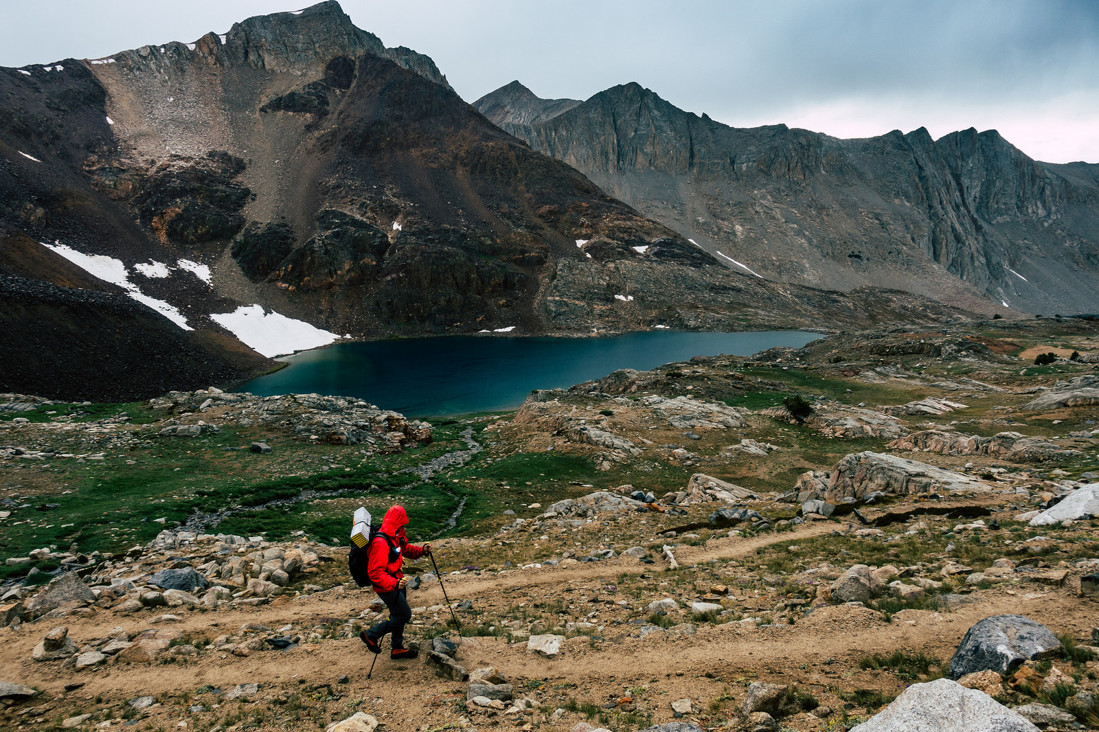
I have never been here before, and am stupefied by the views as we ascend. We are in the heart of it all, and our current vantage allows us to look up the throat of the canyon we descended yesterday, which we continue to rise slowly above.


The climb terminates at a tarn. We stop for water, and to make sure we select the right saddle to ascend.
“There are people on that pass,” I say, after spotting some moving specks far above. It is a great surprise, because this is a remote place.
“Those aren’t people,” Andy says, “They’re sheep.”
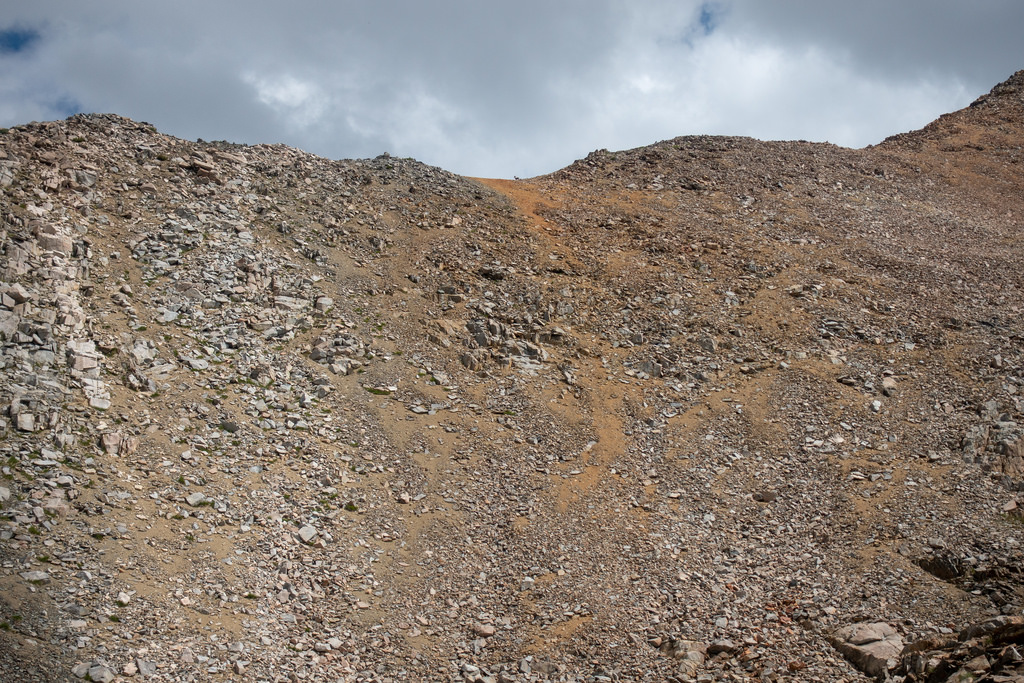
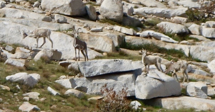
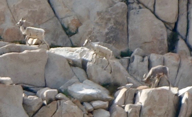
I squint, and he is right. They are sheep! They are Sierra Bighorn, which are rare and elusive; I’ve hiked some few thousand miles or so in these mountains, and never seen one—some explorers go their entire lives hiking the Sierra without seeing one. But two are up there now, and we see them.
I use every bit of my 70 mm zoom to take a photo. Only one bighorn is visible, and it is composed of a mere few hundred pixels in my image, but it is posed just so; it is unambiguously recognizable as a bighorn.


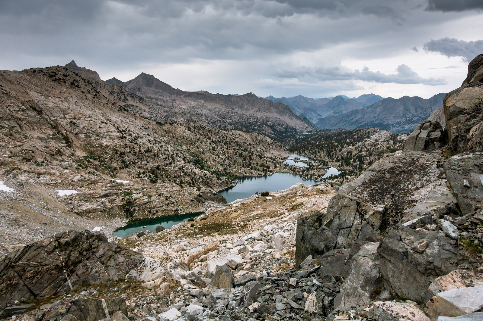
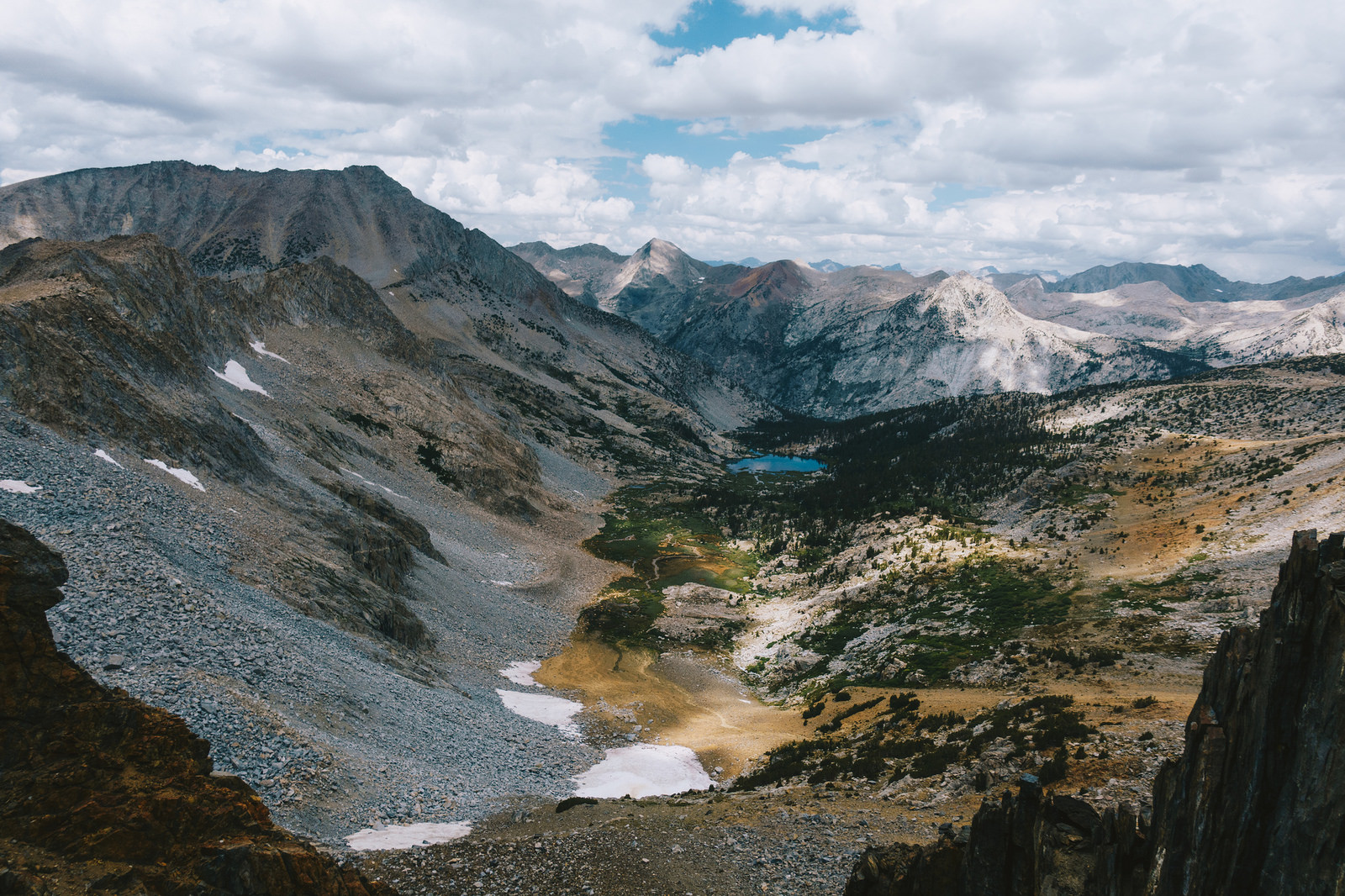
Motivated by our spotting, we ascend the easy slope to the pass, and are rewarded with equally impressive views on the other side—a subalpine basin with a lonely aqua lake; ribbons of colorful rock and vegetation haphazardly painted across the scene.


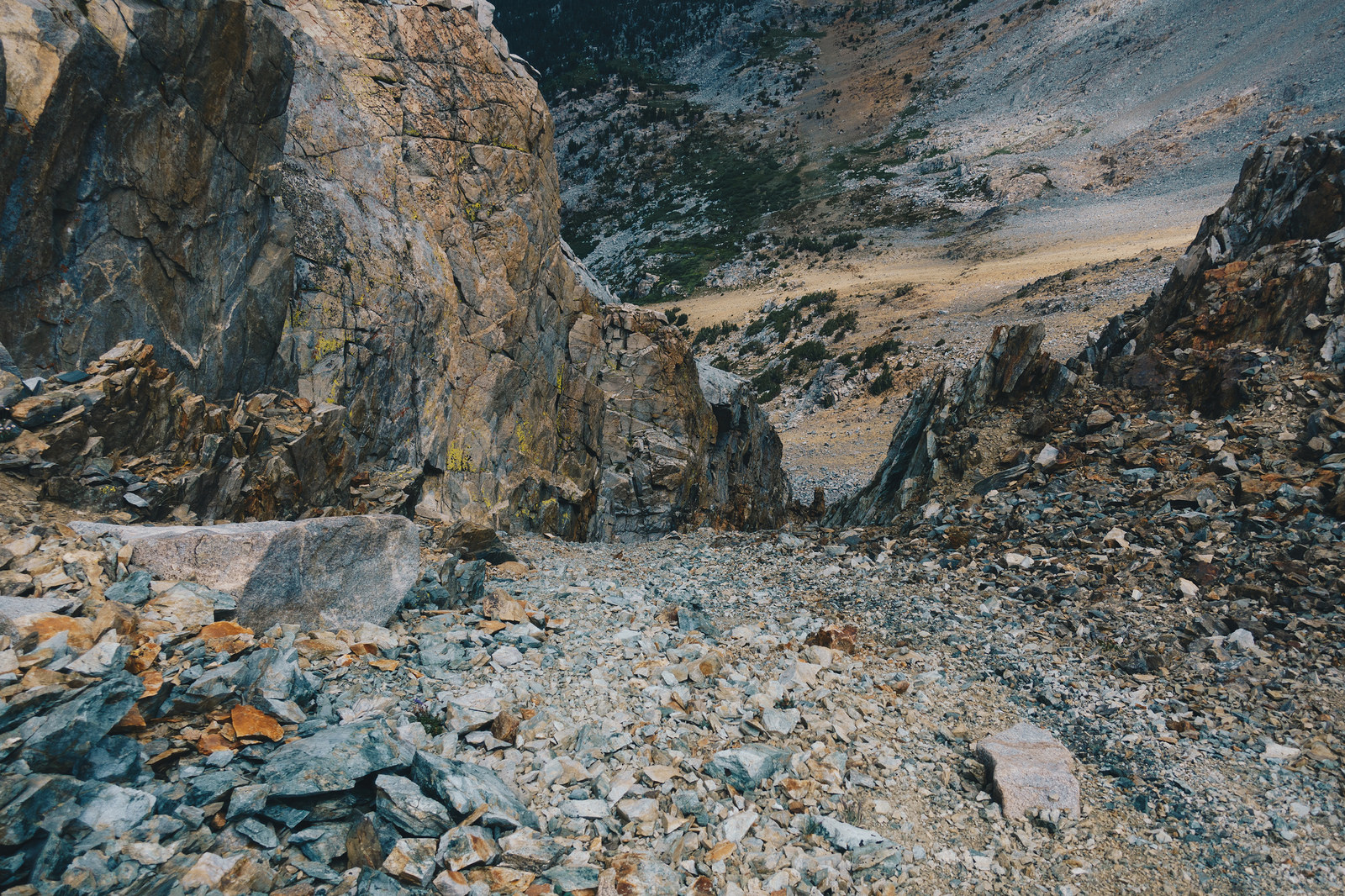
The view is pleasing, but our real matter of concern is how to get down. One way was described as a “steep chute that is clogged with ice and snow through late summer.” We find that chute; we do not see snow, but it is of no matter, because humans that are living cannot go down that chute and remain so, at least not without a rope or a jetpack. It is a death chute.
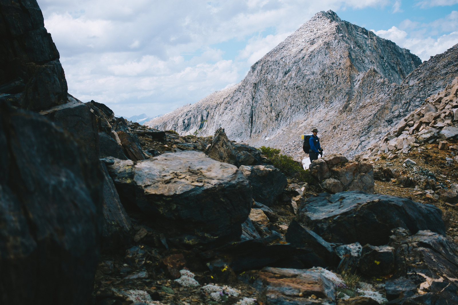
We had heard there was another way—an easier way—but we don’t see anything obvious. We scramble around, and peek down the perilous terrain, but it is steep and complex; pedestals of rock jut out from steep, sandy slopes in a labyrinth that continues as far down as we can see, but that is not very far—the slope is steep enough that although we can see the bottom—several hundred feet below—we cannot see how to get there.

Carefully, I make my way out onto a promontory, to scout for possible routes. After reviewing the complex slope, the right amount of squinting and praying has rewarded me with the confidence to shout a message to Andy:
“I think we can pick our way down this.”
We begin our descent—or, I begin mine; Andy will wait until I descend far enough to clear the fall line before he begins. Each move demands complete attention—a fall might not be fatal, but would certainly break bones. The only way to arrest such a fall would be to maximize friction on the sandy slope, and hope for a smooth stop. Now, as a general rule, any time I am relying the coefficient of friction of my face to save my life, I know I am probably not doing a smart thing. But I ignore that thought, and pick my way downwards.
The rock is soft and chossy, and two out of three handholds either come off the cliff in my hands or crumble with minor pressure. Each move sends several rocks tumbling downwards; these continue for hundreds of feet, attaining great speed before petering out on the shallower slopes far below.
After I descend fifty feet, I find a location to shelter myself from the rockfall that will ensue as Andy descends, and I shout for him to begin.
I wait patiently. I can’t see Andy, but I can hear the periodic rockfall each time he moves. Eventually, I am soothed when I hear just the right amount of cascading rockfall. Too little, and he might not be moving. Too much, and he might be cascading down with the rocks.
But it’s always just the right amount, and soon he joins me. We repeat this process. After the second iteration, I’m still worried—I can’t see the bottom yet, and I don’t know if we’ll eventually cliff out. Clouds are gathering; thunderstorms are imminent. We’re off the high ridge, but we might have to climb back up to it if this route won’t go. There’s nothing I can do about all that though, except continue to scrutinize possible routes downward, which I do.
Soon, a route to the bottom materializes. I take a lateral line towards it, to get me out of Andy’s fall line, and eventually, am rewarded with terrain that is tedious, but not existentially threatening. I wait for Andy to emerge, and he does, unscathed.

We survived the descent, but it cost us time and energy—it took us over an hour move 250 horizontal feet and 300 vertical feet.
Our timing is impeccable. Shortly after arriving at easier terrain, the rain begins. Thunder and lightning follow, but today is like yesterday: we are not exposed, and are thus content with the weather. We meander cross country, weaving amongst trees and granite shelves, eventually arriving at a spectacular lake. We briefly ponder a break, but we are cold and wet—we either need to move, or to pitch shelters and climb in bags. We decide to continue.
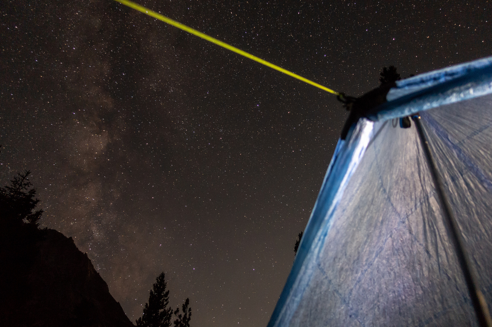
We’re back on a trail and progress is swift. We descend to a river crossing, then begin the gentle ascent on the far side. We are trying to find a campsite that will position us well for tomorrow morning’s endeavor—a scramble up a nearby 14’er. We find that campsite, and set up tarps and tents. The rain has stopped, so we eat and relax, then nap, because we’re still paying the price for yesterday’s wake-up call.


I awake from my nap when another hiker sits down at our campsite. I wave at him from under my tarp.
“Is it okay if I stop here?” he asks.
“Of course it is!”
His name is Brad; he’s hiking southbound on the JMT. We chat while he sets up his camp—topics include hiking, the pacific northwest (Brad is from Yak-i-MAW), wives, children, lawyer jokes (Brad is a retired lawyer), mountain lions and bears. Brad has seen how bears mark trees with their claws—he saw it on three trees in a row in Leconte Canyon. I never look for this, but I decide that I will start.
Eventually the sun sets, and then it’s hiker midnight, so we retreat. Andy and I will get our move on before Brad does tomorrow, so this is probably goodbye.

_____
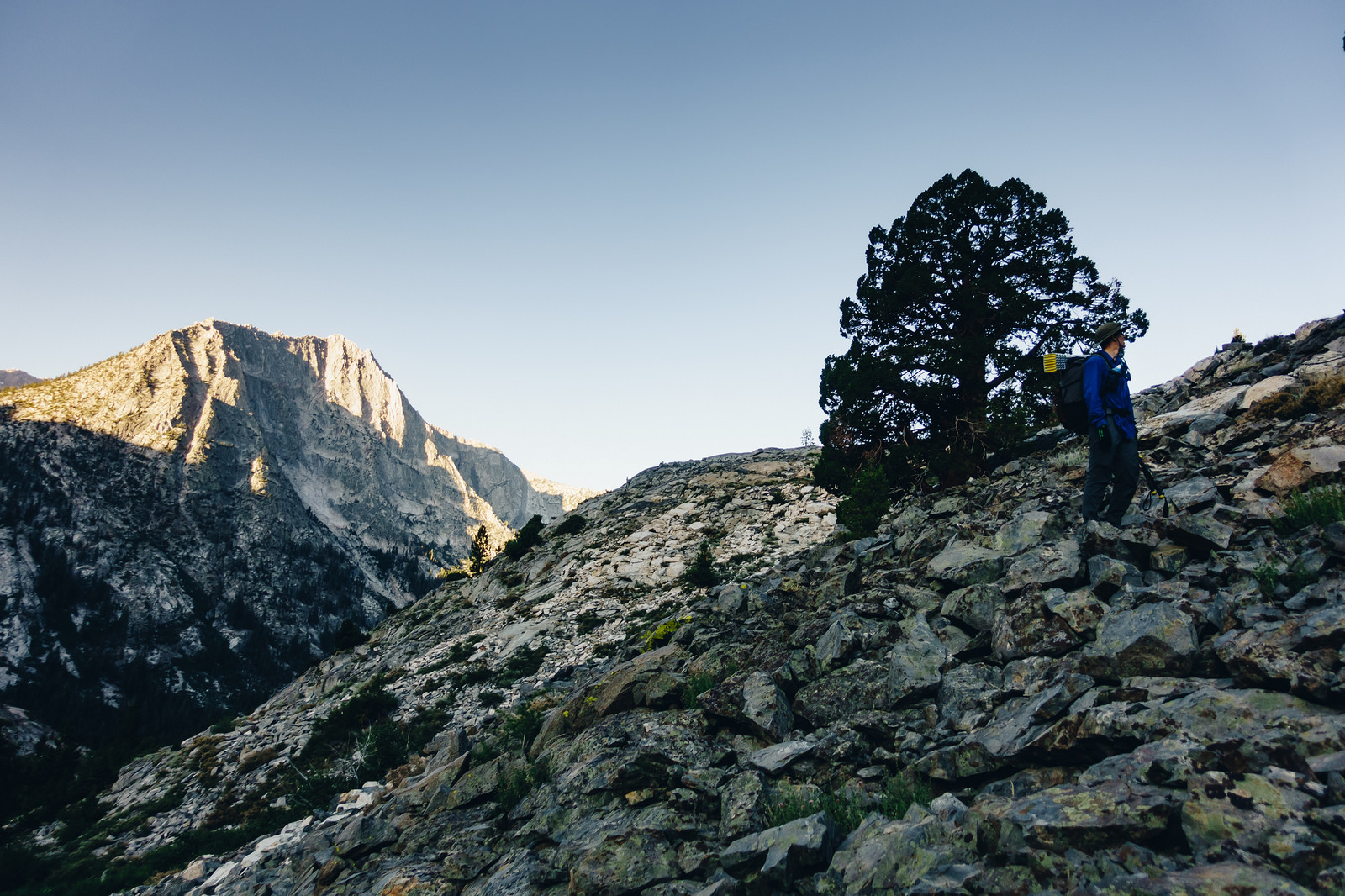
The rays of the morning sun can’t reach us as we ascend the mellow trail—such is the overshadowing protection that the eastern escarpment of this basin offers. Soon we leave the trail, and begin gentle cross-country towards our quarry for the day; a 14’er rising forever out of the rim of the basin.

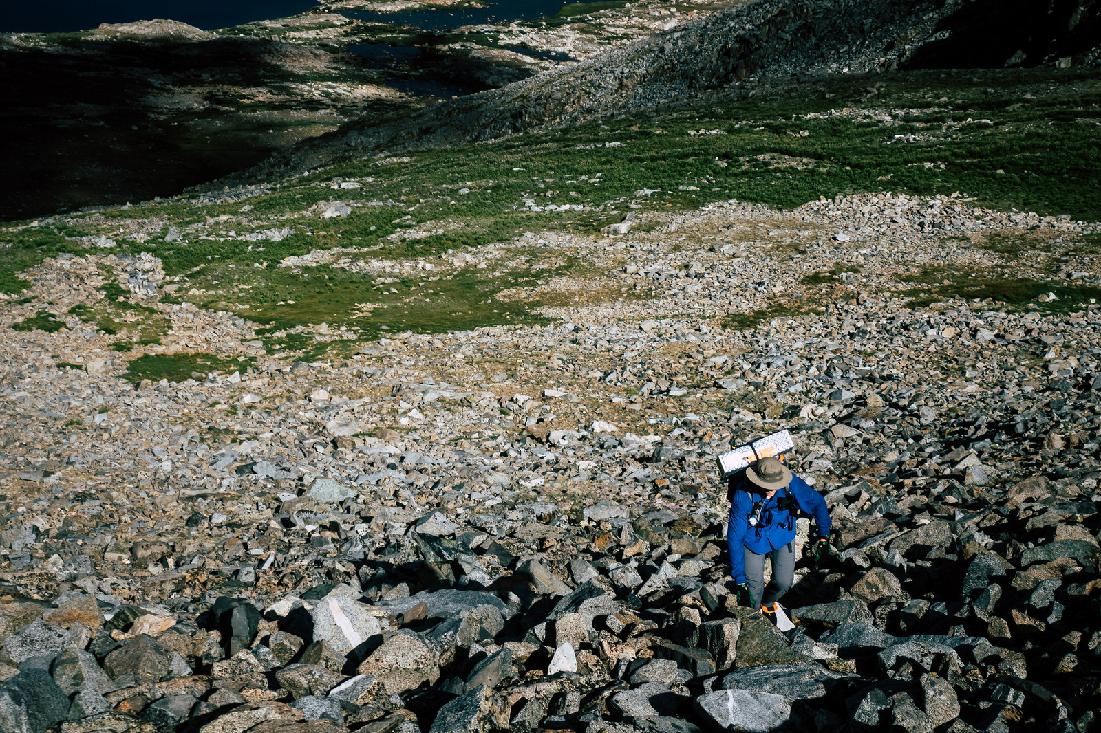
The thing about 14’ers—and it should be no surprise—is how damn tall they are. The walking is easy, but the inconspicuous shortage of oxygen acts as a governor on our rate of climb, which continues forever and ever. There are many options to get to the top, but we pick the steeper way—we’ll come down the shallow route.

We enjoy the towering views while we can, which isn’t for long; the summit is socked in by a cloud. Soon, we’re in the cloud, and the external world disappears—it’s just us and the sloggy climb. Ahead, we see dogs. Or more sheep? Dogs aren’t allowed here. But they are dogs—and there’s a human, too. I suspect we’re right on the border between two jurisdictions, so maybe dogs are allowed, or maybe they aren’t, but nobody is here with surveying equipment to make that ruling.

Soon we run out of rock to climb; we are at the summit. The dogs owner is here, too—he tried to climb this in January, but got skunked. He’s here now, though. He came up a different way than we did.
He signs the register, then we sign the register. We take pictures of each other, and then he goes on his way. Andy and I putz around for a few more minutes before descending. The descent is fast; soon we break out of the milk jug, and are rewarded with views again.

We pause at a lake at the base of the mountain, and decide to have a yard sale, in an effort to get rid of accumulated moisture in our gear. We explode our gear onto hot sunny slabs as we snack and sunbathe, discussing what to do next.
We have a day and a half left in our trip, but we’re some 30 miles away from the trailhead via the shortest routes, so it’s time to start thinking about how to get back. There are short ways and long ways; easy ways and difficult ways; boring ways and rewarding ways. On all ways we will likely have thunderstorms to contend with, but on some ways that is more worrisome than others.
We decide on not-the-hardest way but not-the-easiest way; not-the-shortest way but not-the-longest way. It will take us back over familiar ground, but that’s okay—at this point, for me, it’s all familiar ground. The way we’ve chosen is all on trail, except for a short bit, where we’ll have the chance to scramble up a minor peak I’ve been eyeing for a decade. So there’s that reward, for so many trail miles.

Soon we rejoin the trail, where we make rapid progress—back across the river, then climbing, towards another pass. As we climb out of the river, the rain starts, and then there’s lightning. It’s not the diffuse dull thunder of someone else’s problem; it’s the acute crack of our own problems. There’s a torrent of hail, and then a stroke that strikes a few hundred feet away, so we decide to shelter. We arrive at some low trees to seek refuge—but there’s someone already huddled here. It’s Brad!
Brad hung out at the campsite in the morning, charging up electronics. Now he’s all charged up, but he didn’t make it too far down the trail, and he’s stuck here for the moment, on account of the lightning and hail.
We sit next to Brad beneath the low trees. Soon I’m cold, so I pitch my tarp and lie down on my pad. I put my fleece beanie on and pull it over my eyes, chasing sleep. But I’m wet and I’m cold and it’s breezy; Hexamids are good at a lot of things, but decoupling you from the elements isn’t one of them.
The chorus of thunder maintains it’s voracity, but Brad has had enough of hanging out beneath trees for the day, so he heads towards the pass. Andy and I linger a while longer before deciding to go a little further—if it’s still sketchy, we’ll pitch tarps below the pass and wait it out.
I’ve been through this before, and I know how it goes: You go a little further; then a little further. Soon, you know you should stop, but you’re almost there. Then, it’s too late—you’re amidst a lightning storm, running across the barren upper reaches of a high mountain pass. Lightning strikes nearby—once, then again. Your squishy CMOS fills up with brightly-lit snapshots. Soon, you’re descending, and you’re still alive. You regret the decision to do it—but it’s a superficial, shallow regret that doesn’t mean very much. Survivorship bias, and all that.
The sharp crack of a nearby bolt affirms in my mind that today will not be one of those days. We pitch tarps and climb in bags and eat and nap and ponder. Are we going to be stuck here over night? Or will we be able to get over the pass?
After an hour, the turmoil subsides, and we pack up. We climb the pass beneath a now-mellow rain shower, then descend the other side. We descend for miles and miles.


Along the descent, we see a familiar tent—it’s Brad.
“I shouldn’t have gone for it,” he says, with shallow regret.
_____
Morning comes, and we are on the trail quickly, moving quickly, as one is apt to do on the last day of a backpacking trip—on Cheeseburger Day. The trail carries us along, and we make rapid progress. We’re hoping to make it back to the car by 5:00 pm, so that we’re not driving in the dark, because that’s just the time of day when people don’t know what side of the road to drive on, it seems.

Halfway up the ascent of our final pass, we leave the trail, to scramble up a nearby peak. This peak has always called to me, and I’ve always walked right by. But not today; the skies are dotted with benign cumulous—for the time being—so this is our chance.
A talus field separates us from the base of the peak; we move over it lightly and quickly—this is the last day of our trip; our talus zen is strong. We leave some things by a tarn—we did not leave some things behind when we climbed our last peak, but you really can teach a Sneetch—and then we are scrambling upwards. It is fun hands-and-feet climbing, and within a half hour, we are on the summit.
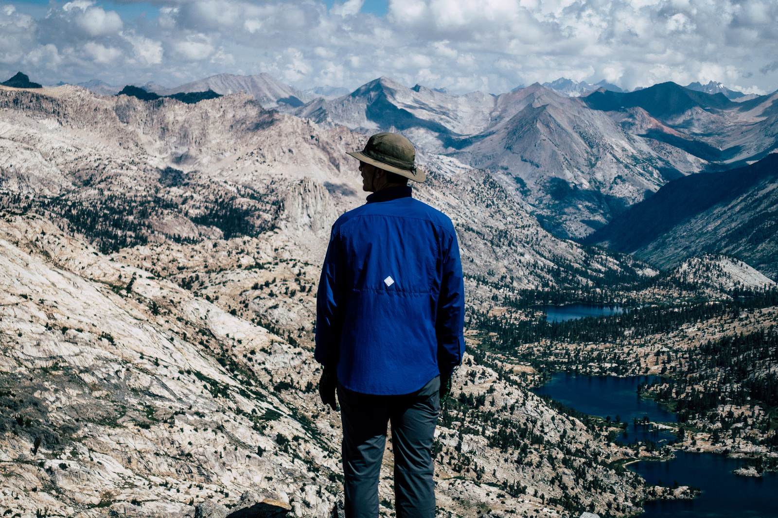
The view from the summit is endless—time and space unfold beneath us; the difference between distance and time blurs together as we look at where we were days before, miles away: the first pass we ascended on this trip is a stone’s throw; slightly below us, but near enough to see the little specks of resting backpackers on top. The drainage we ascended the second day is straight ahead, some 15 miles distant, as the pine crow flies. The 14’er we climbed on the third day is also visible, at about the same range, in a slightly different direction. It’s all laid out before us. Soon we’ll scramble down from this peak, and then it’s just trail miles; one last pass, then down, down, down to the car, and the trip is over. But it’s still alive now; we savor the view, and enjoy one last overwhelming dose of the extraordinary wilderness we just explored.


And then it’s time; we begin our descent; the beginning of the end. We move with alacrity down the talus then back to the tarn, where we gather now-dry belongings. Soon we’re on the trail, and one last huff and we’re on top of the pass. Then it’s down, down, down, forever. Soon there’s rain and thunder, but that’s fine; I guess there’s always rain and thunder. The miles drag on as the scenery devolves to that of the deciduous western slope. The miles pile on, and Andy resorts to Death March Mode—no breaks, no stopping, just walking; the mode where external interactions with the universe are unwelcome—everything he needs to get to cheeseburgers is between his ears.
The rain never ceases, but we finally arrive at the permit station. The ranger that issued our permit is here, getting ready to go out on a patrol.
“How was it? Where did you go? I can’t remember,” she says.
We remind her.
“We saw Bighorn Sheep,” Andy adds.
And she is jealous—she’s never seen any bighorn. We tell her where we saw them.
We were lucky. And not just because of the bighorn—we went out in poor weather, and had an adventure that was barely tamped by that poor weather. We saw new places and climbed new peaks—we survived drives and death scrambles and made wise decisions in lightning storms.
We stop at the Black Bear Diner in Madera on the drive back to the bay area. At Black Bear Diner, they indicate the calories for each item on the menu, which is convenient, because we know we need to order things with big numbers. I order a big number and Andy orders a bigger number, and we gorge—then there’s coffee, lots of coffee, and even coffee to go. After that it’s just driving—but everybody stays in their lane, so there’s no chaos—and then we’re home.
And pretty soon—within a day—we ponder: When can we go again?
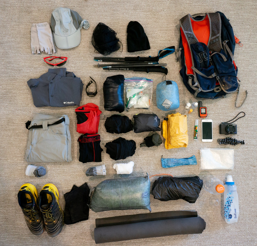
Jul 28, 2018 at 11:24 pm #3548771For the gear-conscious:
Gear and food list: https://ontheswitchbacks.files.wordpress.com/2018/07/mystery-trip-july-2018.pdf
I brought a little more than I usually do, owed to the forecast. I never wore the Thermasilk bottoms, and could’ve gotten away with leaving the top at home, too.

 Jul 30, 2018 at 1:26 am #3548933
beautiful writing, adam.
Jul 30, 2018 at 3:21 am #3548947Really enjoyed this. You visited some lovely areas.
Jul 30, 2018 at 3:55 am #3548953Great report. And loved your comment about depending on the coefficient of friction…
Jul 30, 2018 at 4:32 am #3548955Another enjoyable trip report and I appreciate the lack of specificity.
Jul 30, 2018 at 3:28 pm #3549004+1, another excellent trip and report. @awhite4777, your photos and mystery reports, probably more than anyone else’s, make me hungry for another High Sierra adventure! Thanks for posting, and keeping the spirit of Adventure! alive. :)
And the sheep!! So awesome. They have eluded me thus far…maybe next time!
Jul 30, 2018 at 3:34 pm #3549006Nice report. I saw my first Sierra Bighorn a couple of weeks ago, too. A few more pixels, but still a long way off. They are very hard to spot unless you are looking in the right direction at the right time. Almost white against pale granite. I don’t know the usual composition of herds, but this was a group of four that appears to be a young male with three ewes?

 Jul 30, 2018 at 6:31 pm #3549026
Thanks, all.
@ralphbge, those are great photos. Far more challenging to spot those than the ones we saw; we were lucky to have the contrast of of the sky as a backdrop. If they had been ten feet lower on the saddle, I don’t think we would’ve spotted them.Judging by the hue and angle and degree of fracture of the granite in your photos, I’m going to guess you were somewhere near the Bear Lakes area? Seven Gables?
:)
Jul 30, 2018 at 6:50 pm #3549032Yes, the angle of fracture in that second photo is a dead giveaway, isn’t it? Also, of course, in the first photo the species of beetle on the boulder at lower right is endemic to the Bear Lakes area. And if you enhance the photo, you can see Seven Gables reflected in the ram’s eyeball.
 Jul 30, 2018 at 6:57 pm #3549033
The beetles, yes of course–but I have to admit, I did miss the reflection in the ram’s eyeball!
Well, egg on my face, in this thread.
Jul 30, 2018 at 8:06 pm #3549040☑️ Did LOL
Aug 6, 2018 at 3:31 pm #3550132Fantastic trip, report and photos! I enjoyed the mystery of the route, but I’ve been looking for Official Kudos all summer, so here’s my guess as to where you went. The first section was tricky though.
- Road’s End, up Bubb’s Creek, over Glenn, over 60 lakes col to Gardener Basin, over King Col down to Woods Creek
- Up into the Window Creek drainage, over Explorer Pass, Bench Lake, JMT into Upper Basin
- Summit Split Mountain #14er, JMT over Pinchot, summit Painted Lady and hike out through Bubbs Creek
Aug 6, 2018 at 4:16 pm #3550142Well done Rick! You basically nailed it, but you gave us a little too much credit on the first day:
Day 1: Roads End -> Glen Pass -> Rae Col (into Sixty Lake Basin) -> Basin Notch (the Class 1 “cleft”) -> JMT near Arrowhead/Dollar Lake, down to Woods Creek
Everything else was spot on, rehashed below:
Day 2: Woods Creek Crossing -> Window Peak drainage -> Explorer Pass -> Bench Lake -> Upper Basin
Day 3: Upper Basin -> Split Mountain -> Upper Basin -> Pinchot Pass -> Woods Creek Crossing
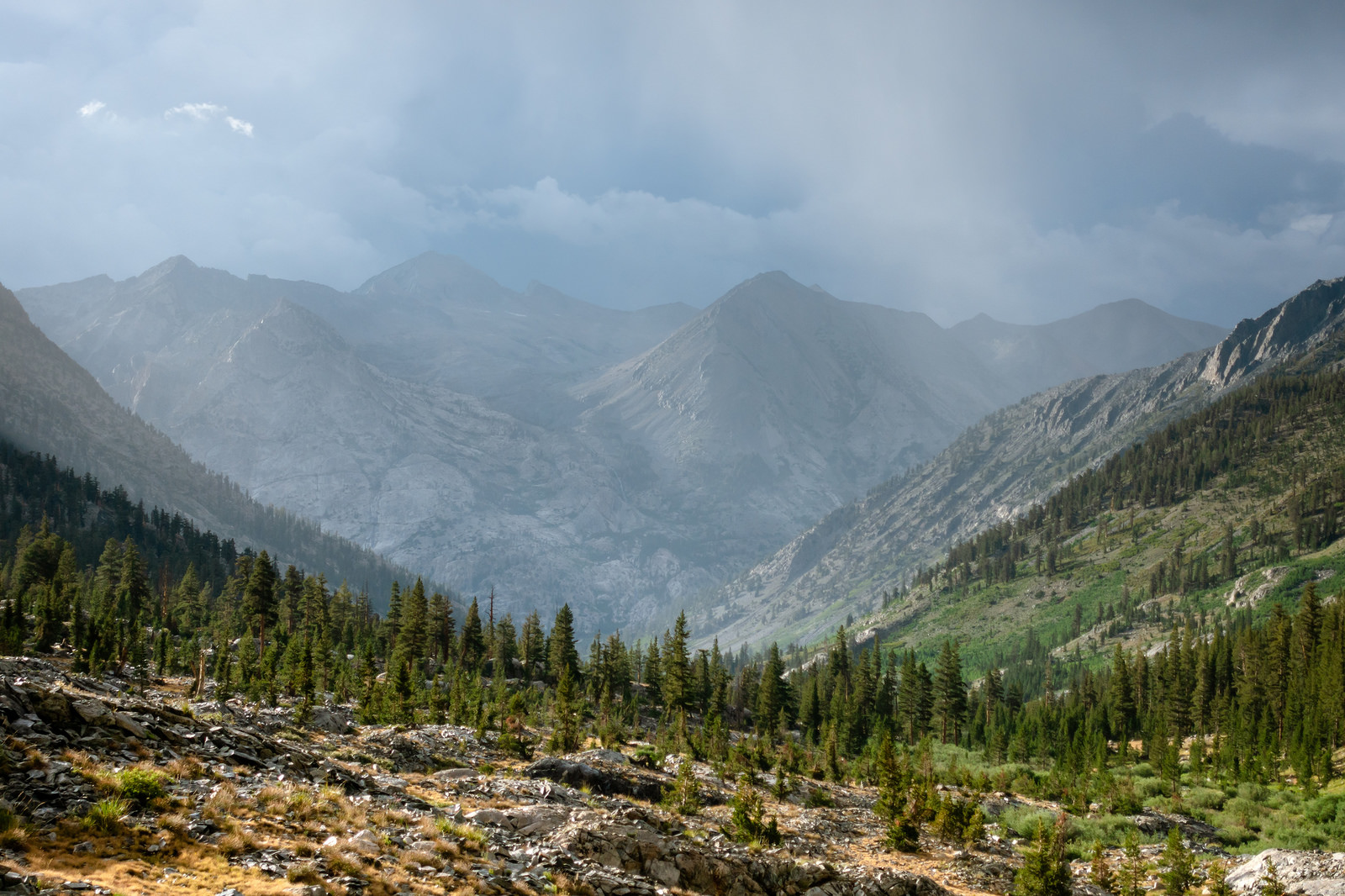
Day 4: Woods Creek Crossing -> Painted Lady -> Glen Pass -> Roads EndI looked back at the TR–I think the only way to convince yourself that your guess wasn’t possible was this photo:

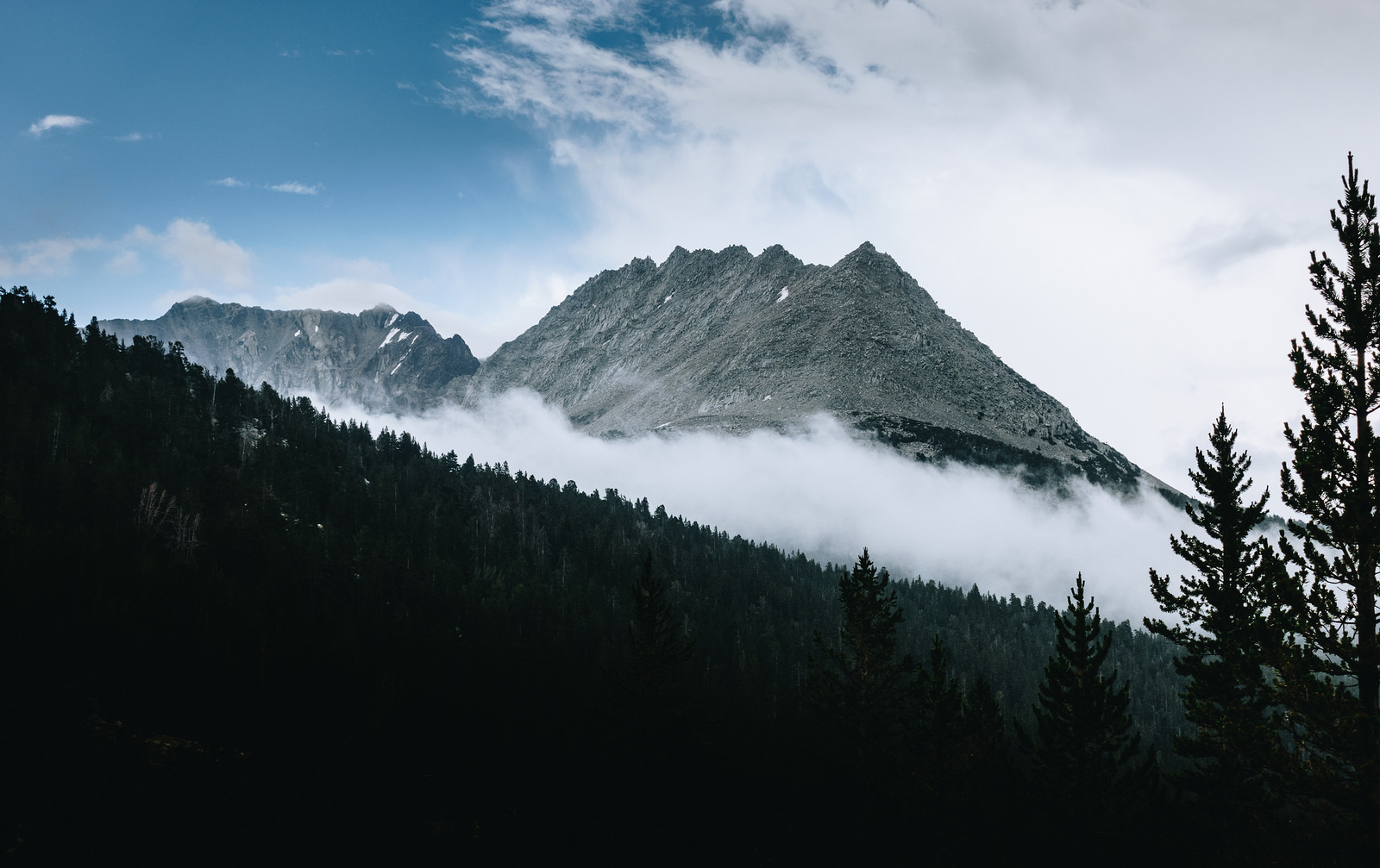
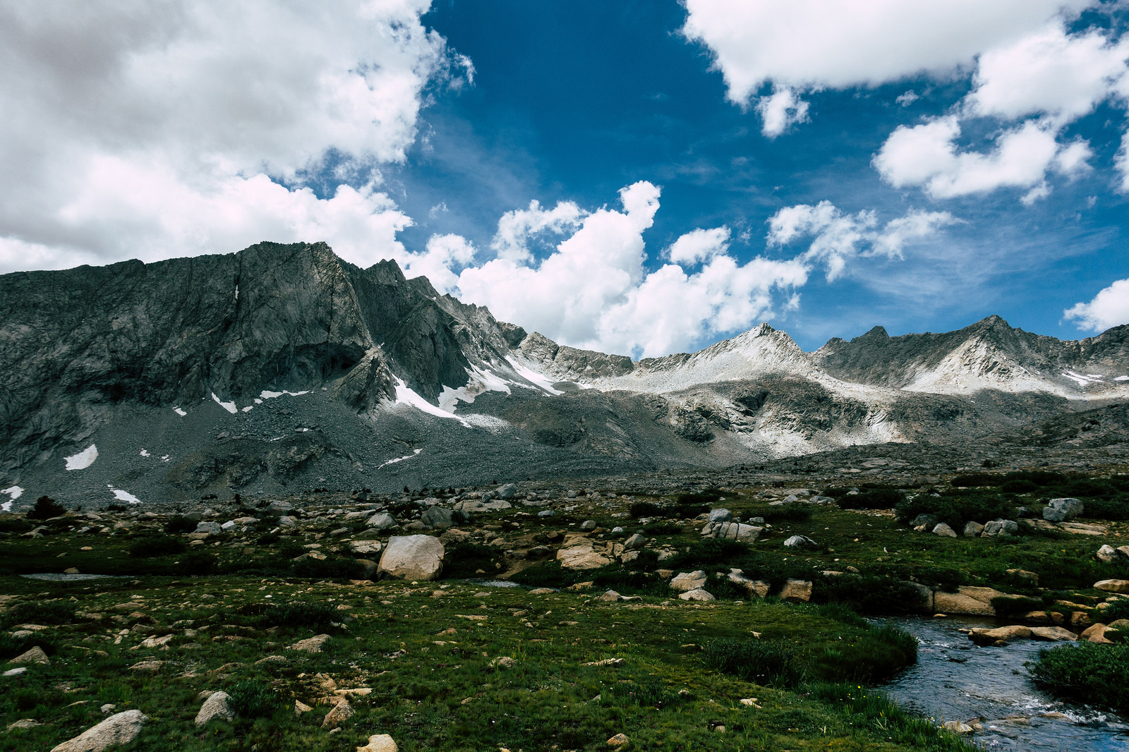
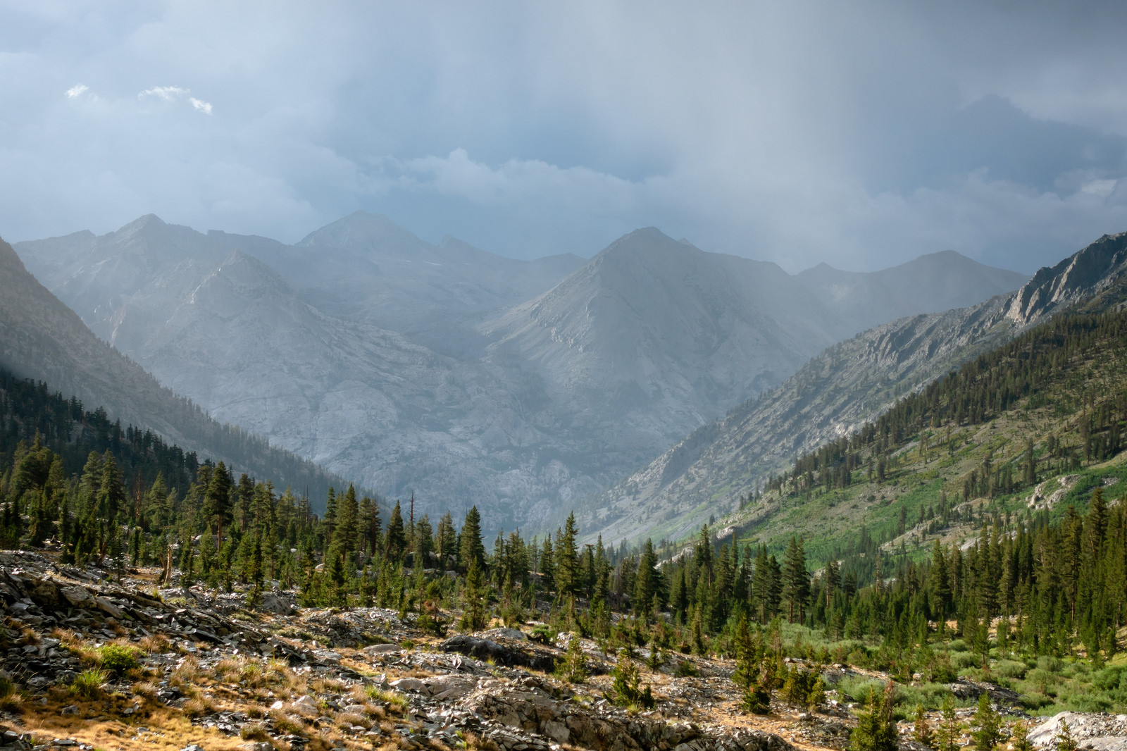
which is the view from below Dollar Lake, looking towards Woods Creek, Woods Creek Crossing, and the Window Peak drainage. If we had taken King Col, we would’ve intersected Woods Creek beyond the junction ahead, and to the left–and not had this view.
Also, of course, the entire route was also visible as an animation through spacetime in the Ram’s eyeball, but you do need to enhance the image a few times (with the right eigenvalues, of course).
You’ve earned the Official Kudos! I’ll work up something more formal later, but for now:
I hereby bequeath Rick W with this very Public and Official Kudos, for his demonstration of valor, bravery, and dedication of otherwise useful time, in pursuit of the uncovering the grand truth behind a long-standing Sierra mystery: Where did I go that one time on that trip with the sheep and the stuff.
Congratulations! Take the day off (it’s okay with me, anyway).
For everyone else, more photos in the Flickr album here (with many spoilery comments–why I didn’t post previously):
And by the way, BPL, after a few days, nobody took any guesses, so I posted to High Sierra Topix as well, assuming it would be solved within minutes. It was not! It remains unsolved there! BPL pride!
-
AuthorPosts
- You must be logged in to reply to this topic.
Forum Posting
A Membership is required to post in the forums. Login or become a member to post in the member forums!
Garage Grown Gear 2024 Holiday Sale Nov 25 to Dec 2:
Our Community Posts are Moderated
Backpacking Light community posts are moderated and here to foster helpful and positive discussions about lightweight backpacking. Please be mindful of our values and boundaries and review our Community Guidelines prior to posting.
Get the Newsletter
Gear Research & Discovery Tools
- Browse our curated Gear Shop
- See the latest Gear Deals and Sales
- Our Recommendations
- Search for Gear on Sale with the Gear Finder
- Used Gear Swap
- Member Gear Reviews and BPL Gear Review Articles
- Browse by Gear Type or Brand.


