Topic
Across Utah, Colorado to Nevada in 35 days
Forum Posting
A Membership is required to post in the forums. Login or become a member to post in the member forums!
Home › Forums › Campfire › Member Trip Reports › Across Utah, Colorado to Nevada in 35 days
- This topic has 5 replies, 6 voices, and was last updated 7 years, 5 months ago by
 DAN-Y.
-
AuthorPosts
-
Jun 5, 2017 at 10:58 pm #3471779
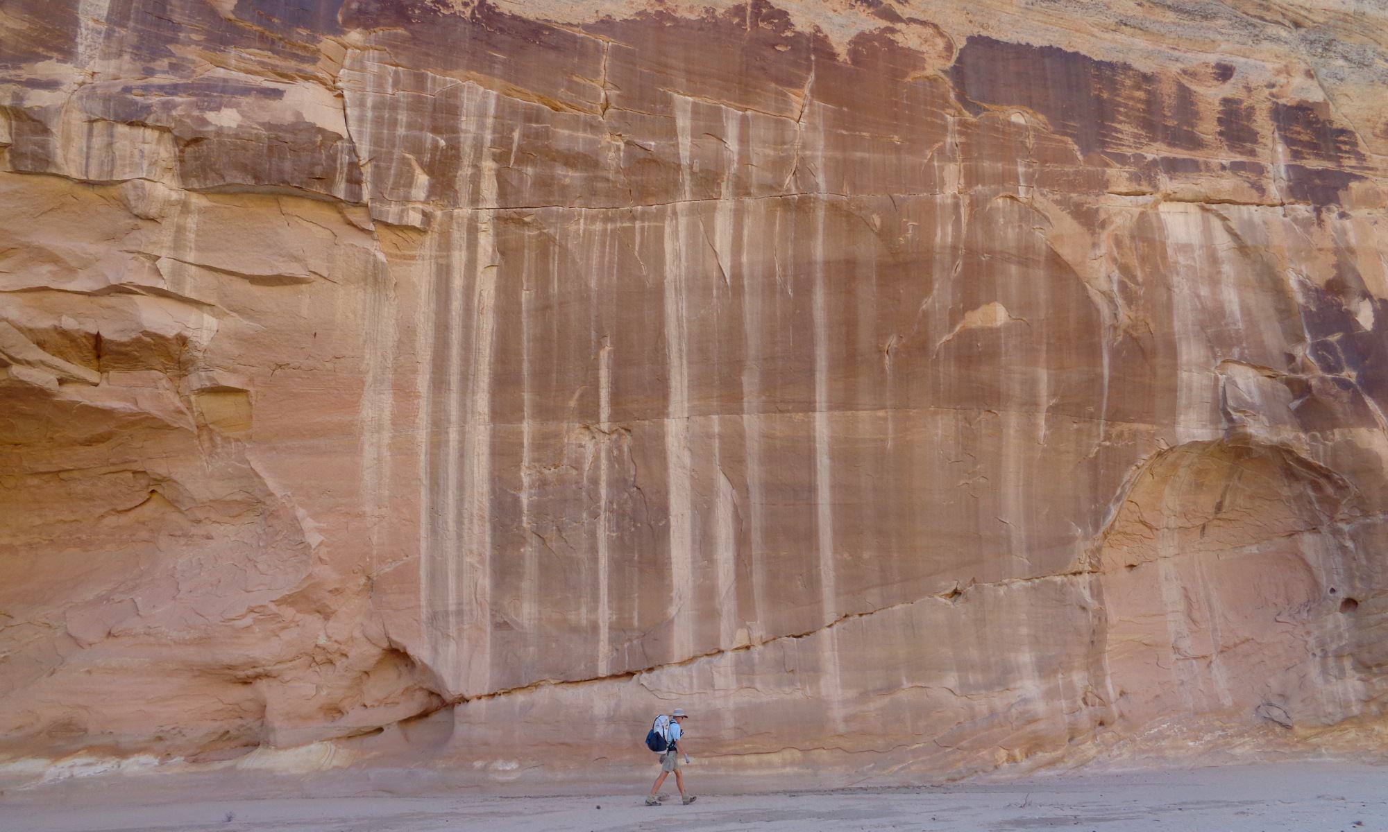
Two weeks ago we completed a 35 day hike across southern Utah. It was a fabulous trip. Our new trip report is posted at our website DoingMiles.com
Amy and James

 Jun 7, 2017 at 10:52 pm #3472247
Wow. Impressive trip and informative report, thanks for sharing!
Jun 8, 2017 at 8:37 am #3472279Yeah, I agree! Quite nice website altogether. Good job.
Jun 8, 2017 at 9:06 am #3472282Thanks for sharing your trip report and photos – you got to see some amazing parts of the SW.
Jun 11, 2017 at 9:00 am #3472762Wow Amy – congratulations on an amazing trip. And as always, thanks for sharing.
Jun 11, 2017 at 1:09 pm #3472809Excellent report…especially interesting was the trail conditions etc.
<h4 data-fontsize=”17″ data-lineheight=”25″>Trail Conditions</h4>
Our route was a mix of pavement, dirt roads, jeep tracks, abandoned jeep tracks, established footpaths, and off-trail hiking. 15-20% of the mileage was off-trail and varied in difficulty from class one to class three. The route includes several descents of very steep, high cliffs and wading in flowing water in canyon bottoms. A small amount of scrambling was needed to get over rockfalls and chockstone obstacles in the canyons. Our route across the Henry Mountains included climbing over three chockstones in a narrow canyon with flowing water wall-to-wall, a feat which required Jim’s climbing skills combined with a serendipitous log that we hauled and reused on each obstacle.Although much of the walking is quite straightforward, this in NOT a route for beginners. If you plan to hike this route, you should have excellent navigational and map reading skills, the ability of read terrain, and previous experience hiking in this type of environment. As Steve Allen, the guru of canyon country hiking says in Canyoneering 2: “If you have any doubts about your qualifications to do any of the routes, they are not for you. Those with enough miles under their feet and days under the rim know who they are.”
There are long stretches without sources of water and you must be able to locate the ones that are there. Many of the water sources are intermittent.
Sections of this walk are remote, have no cell phone coverage and if you become injured or otherwise incapacitated, rescue is uncertain. Even with a gpx track, it requires expertise to read the landscape and pick a useable line. We saw no other hikers on the off-trail portions of this route.
-
AuthorPosts
- You must be logged in to reply to this topic.
Forum Posting
A Membership is required to post in the forums. Login or become a member to post in the member forums!
Our Community Posts are Moderated
Backpacking Light community posts are moderated and here to foster helpful and positive discussions about lightweight backpacking. Please be mindful of our values and boundaries and review our Community Guidelines prior to posting.
Get the Newsletter
Gear Research & Discovery Tools
- Browse our curated Gear Shop
- See the latest Gear Deals and Sales
- Our Recommendations
- Search for Gear on Sale with the Gear Finder
- Used Gear Swap
- Member Gear Reviews and BPL Gear Review Articles
- Browse by Gear Type or Brand.


