Topic
2016 Bob Marshall Open
Forum Posting
A Membership is required to post in the forums. Login or become a member to post in the member forums!
Home › Forums › Campfire › Member Trip Reports › 2016 Bob Marshall Open
- This topic has 8 replies, 7 voices, and was last updated 8 years, 9 months ago by
 Mike M.
-
AuthorPosts
-
Jun 2, 2016 at 8:16 pm #3406664
This years event started at Bean Lake near Augusta and ended at Cedar Ck campground near Condon
This was my second year taking on the challenge. Last year I went with Kevin and John, this year John teamed up with another friend and planned a more leisurely event- 5-ish days. Kevin and I had just the opposite plan, more aggressive than last year, going very light and mixing in some running- something under 3 days. We had planned our route carefully and got our packs as svelte as safely possible. Unfortunately Kevin’s knee hadn’t fully recovered from winter and had to bail at the last minute (actually a week out); at the same time the weather changed significantly adding a lot of snow to the Bob and calling for rain/snow during the event. Because of these changes, my plan also changed-going with a larger pack and more safety equipment.
My route was ~ 120 miles, there were shorter routes, but chose this route mainly because it avoided fording the South Fork of the Flathead- which we learned is not a ford, but rather a swim :) (just ask Tanner)
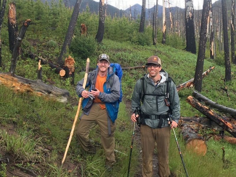
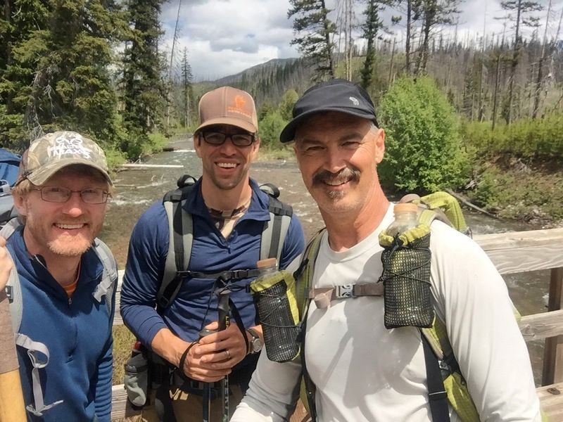
Saturday morning 18 brave souls took off from Bean Lake, John and his new partner Thad were taking the same route as I was, so I settled in with them- figuring I’d continue on after they bagged it at 20-25 miles in. Turns out almost everyone else continued on past Whitetail Creek where we headed for the pass


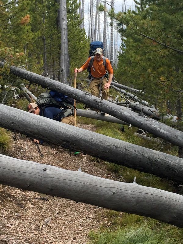
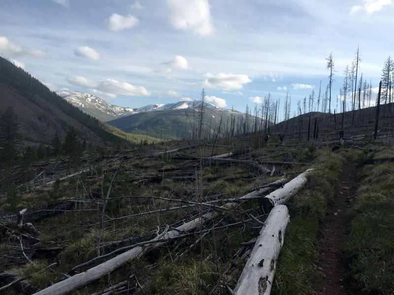
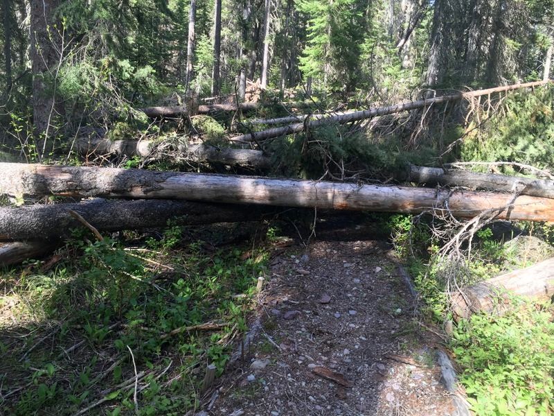
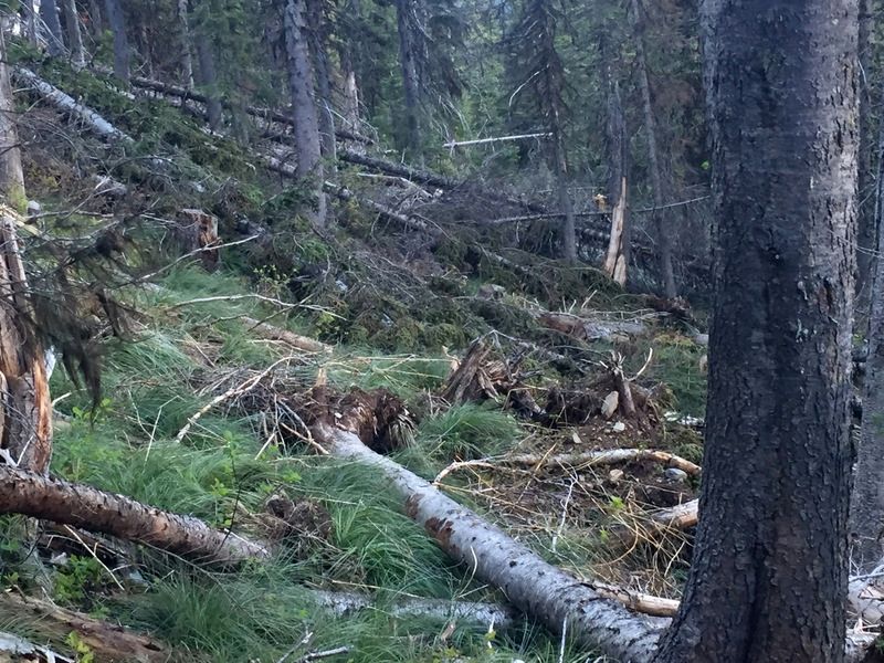
we made good time up and over the pass into the Blackfoot drainage, not as much snow as anticipated, but our good time would soon slow as we got into pretty significant blowdown

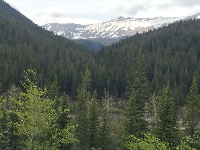
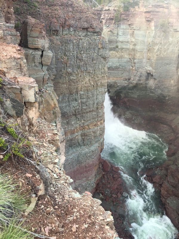
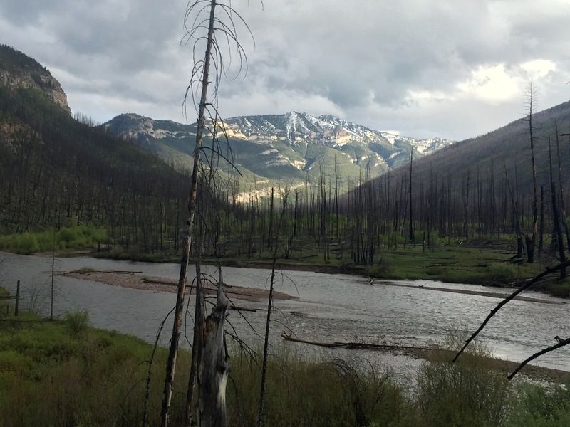
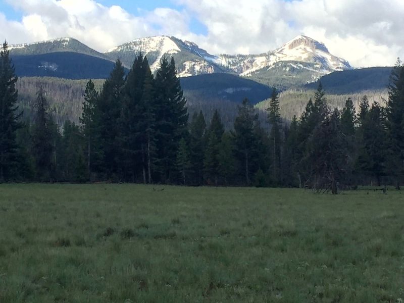
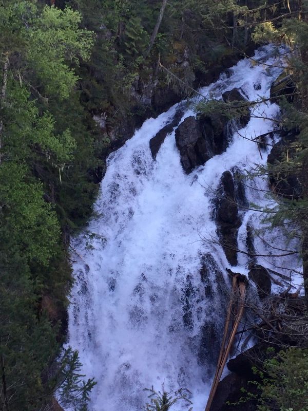
still nice views though, including the North Fork falls


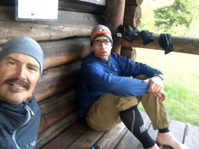
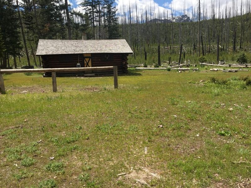
we made it to the North Fork patrol cabin at 8 pm and called it a day, 33 miles in, more than John had Thad had planned on, but fairly close to what I was shooting for

we got a pretty early start and headed for the Dry Fork Pass that led into the Danaher and South Fork drainage
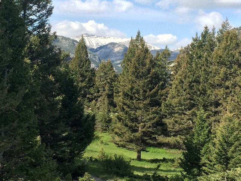
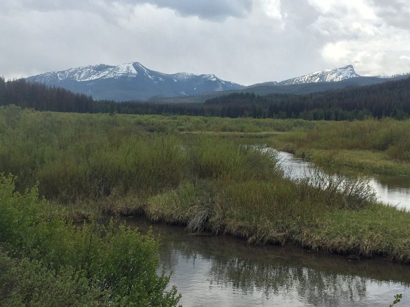
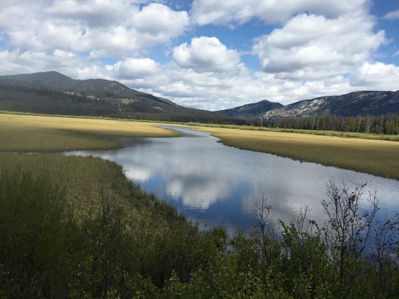
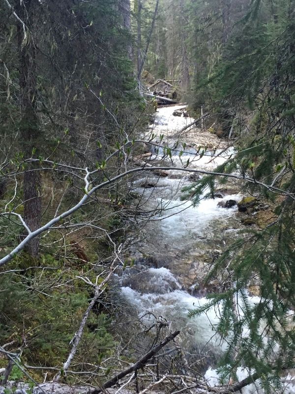
Danaher Creek is absolutely gorgeous, the creek starts out very mellow and meandering and eventually raging, it’s one of two major headwaters for the South Fork


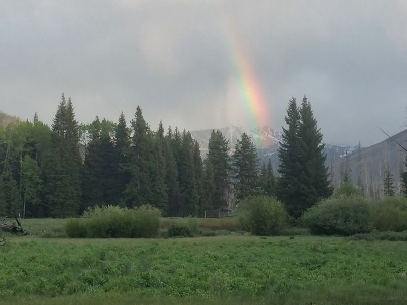
the weather up to this point had been pretty good, some short light rains, but we got into some pretty heavy rains, but eventually they would pass as well, right on time as we entered our camp area for night 2 at Cayuse Prairie, 31 miles logged that day


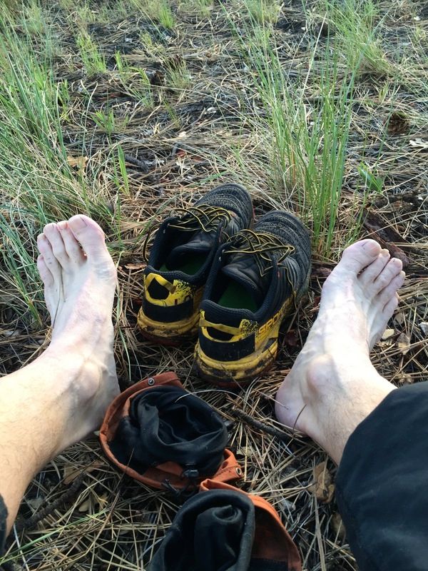
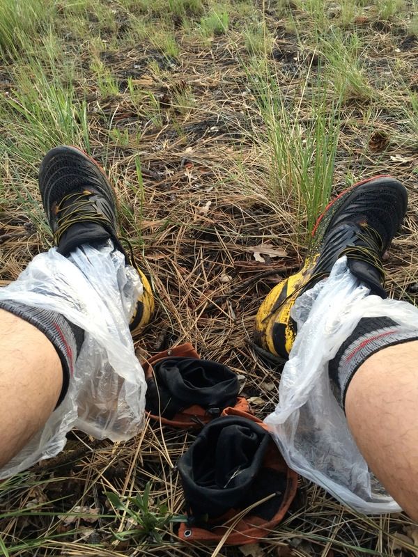
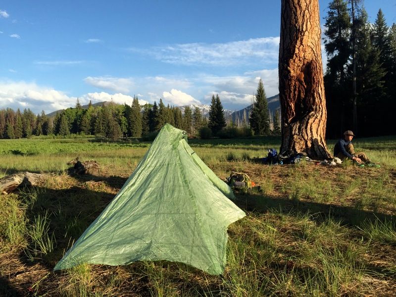
a nightly ritual, drying our feet out (also at lunch)* I also found Costco meat bags work great to put over your dry socks and put on your wet shoes for camp chores or that nightly call to duty


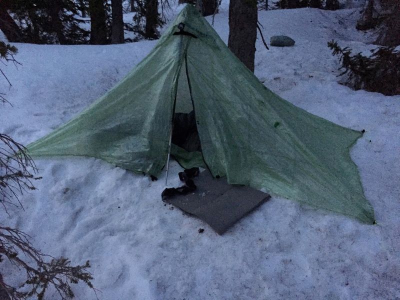
my shelter choice, a MLD cuben Solomid XL

the next day John and Thad said they would only be going as far as Big Salmon Lake (about 15 miles) so they could fish and relax


we ate lunch at Big Salmon patrol cabin and parted ways, making pretty good time of the 15 miles in under 5 hours


I had about 2.5 miles to go to my turn off up Little Salmon and made good time getting there in under 45 minutes, things were looking up and I still had a shot at under 72 hours if I turned it up a notch.
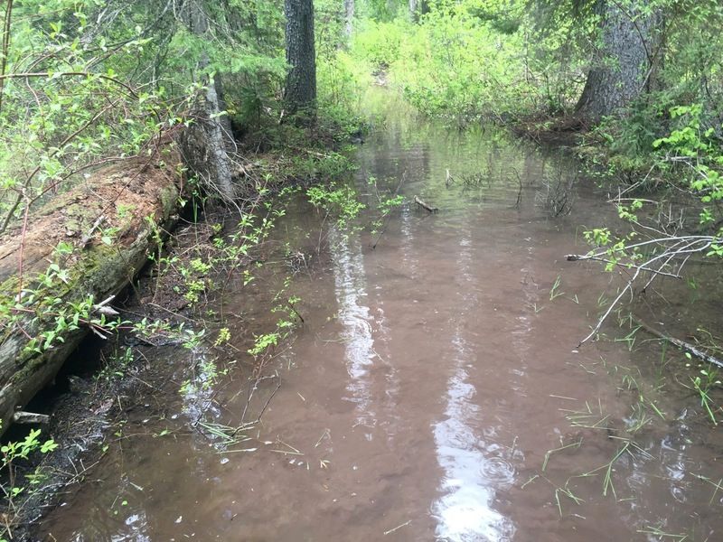
Unfortunately Little Salmon had different ideas, the lower stretch was very muddy and flooded in many areas, slowing me down

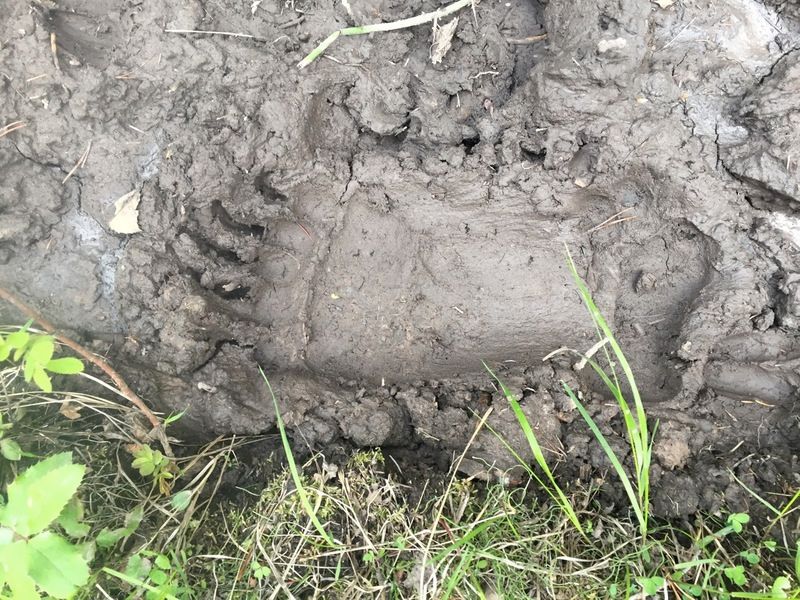
I wasn’t the only one headed up Little Salmon, bear spray- check


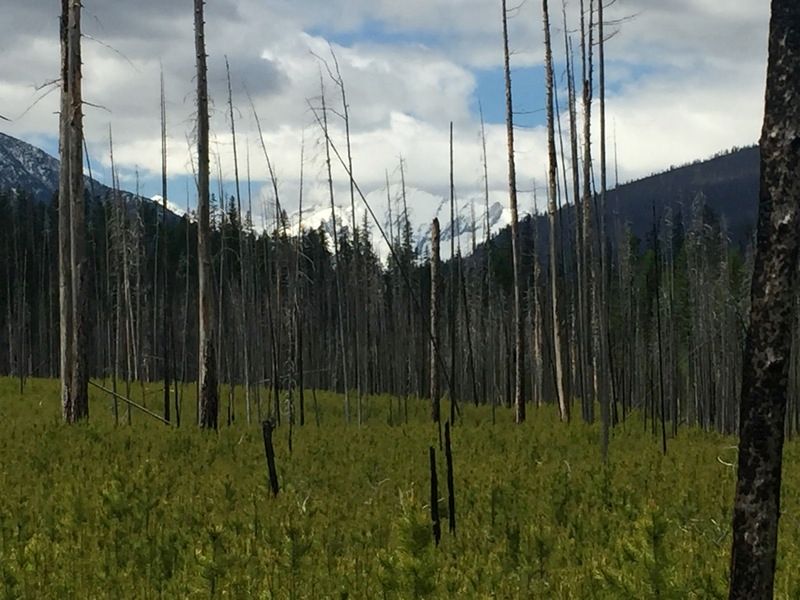
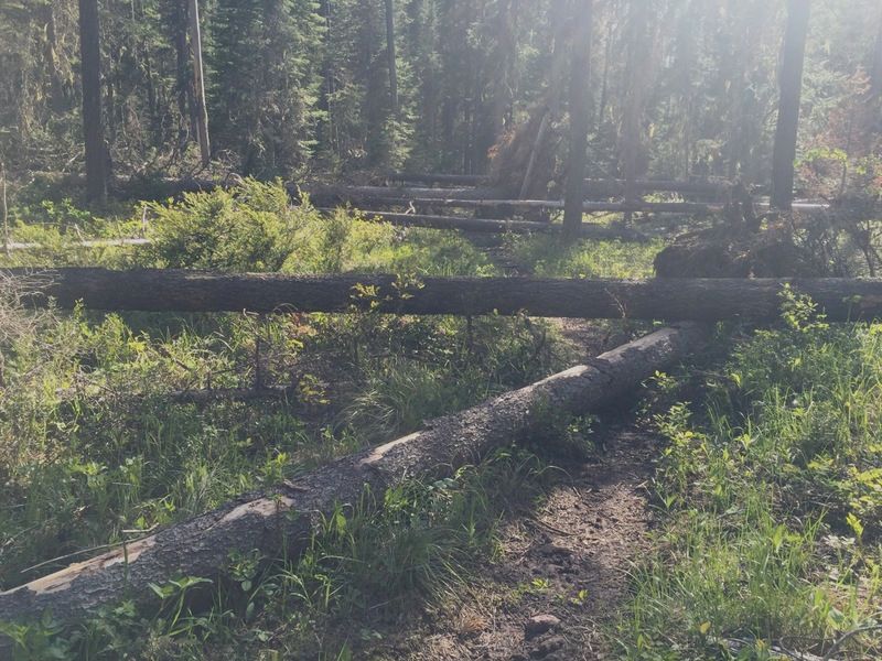
soon the trail climbed and dried out and the time was picking up again, but Little Salmon wasn’t done with me yet- while the mud and water slowed me down on the lower section, the blowdown would almost stop me in my tracks- 8 miles of almost steady blowdown, looking at it, it appeared to be more than just last fall/winter, probably a couple years worth


it’s a ~ 11 miles to my next turnoff, Palisade Ck- I was hoping to do it in about 3 hours, instead it was over 5!
finally made it to Palisade Ck, now 6 miles up to the pass- not surprisingly there was plenty of blowdown on this trail, also a lot of mud and water running in the trail
Palisade Ck

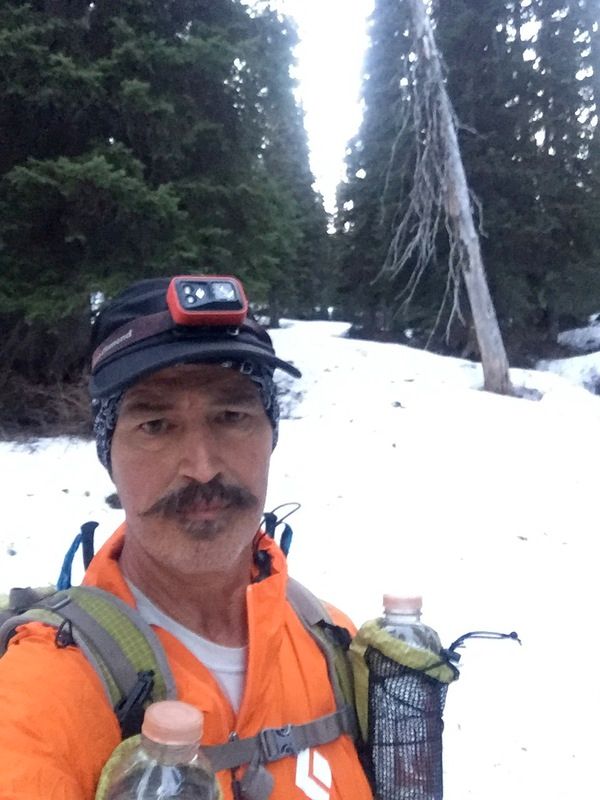
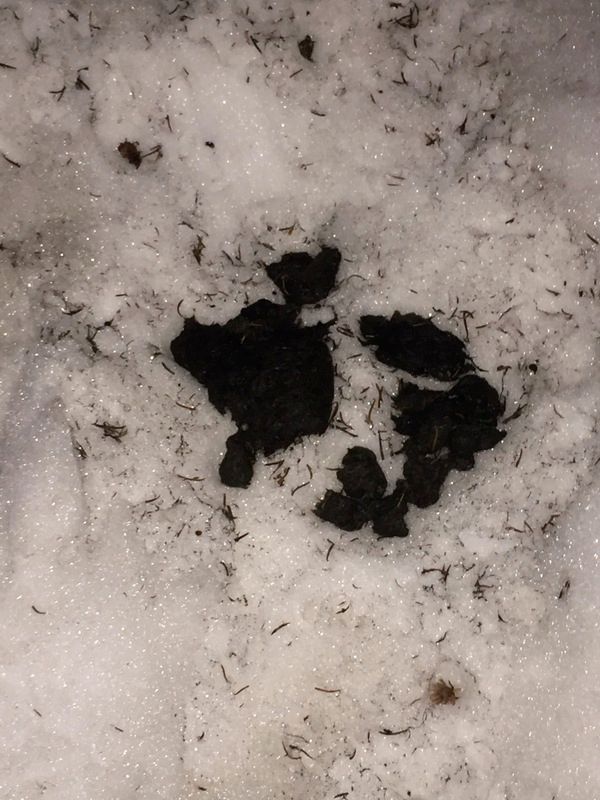
I couldn’t find a decent place to camp, so kept heading up, hoping to make it over the pass and camp on the Lion Ck side; daylight quickly faded as I hit the snow and donned my headlamp; the trail became completely obscured, but a grizzly was headed up and pretty sure headed the pass so I followed him (or her?)


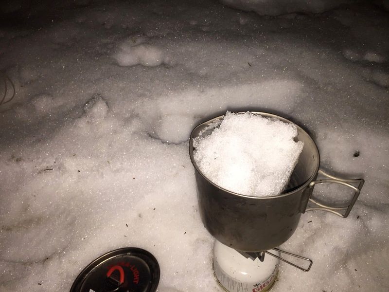
I eventually hit human tracks and knew they had to be other competitors, so I was on the right path When I got the pass I was whipped and needed to make some supper, low on water I melted snow

I felt better after eating and wanted off this high pass and thought I’d go down a couple of miles and camp; I thought I found the trail in some big block talus, but after 5 minutes or so it was obviously a mountain goat trail and not the trail and there was some chance I would to plunge to my death if I stayed on it; I retreated looking for the trail but no luck- at this point it was 11 PM and I was forced to camp on 6′ of snow at high elevation, not where I really wanted to be
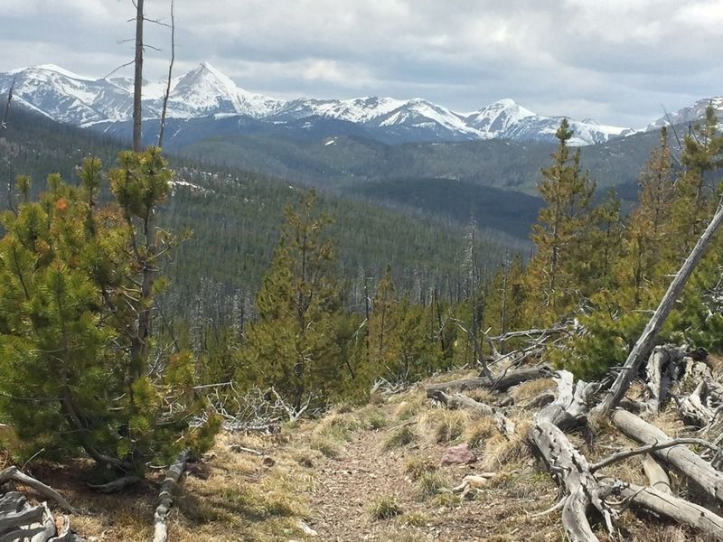
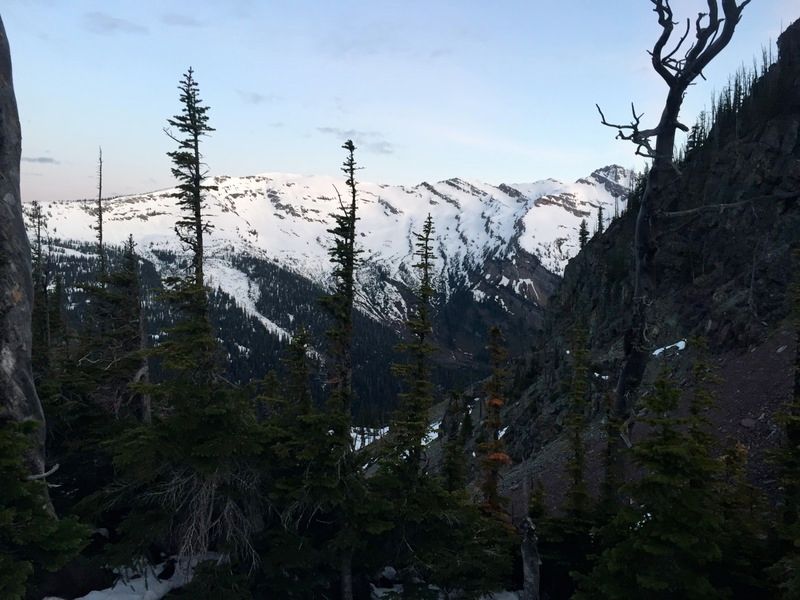
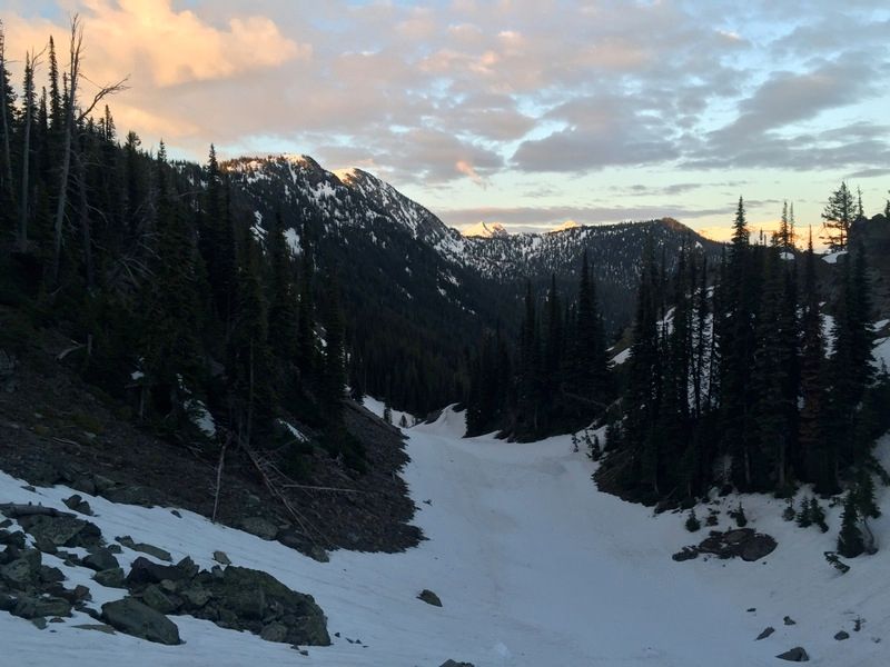
I woke up at 5 AM, my camp and not too shabby of a view out my door


I found the trail in the daylight about 1/8 mile down from the pass and could see where folks had slid in the scree getting down to it- it was very slow going as it has solidly frozen at night and the once soft snow was now ice and it was steep, very steep

I eventually got out of the snow and started making decent time heading down, but was short lived as I started hitting significant blowdown again

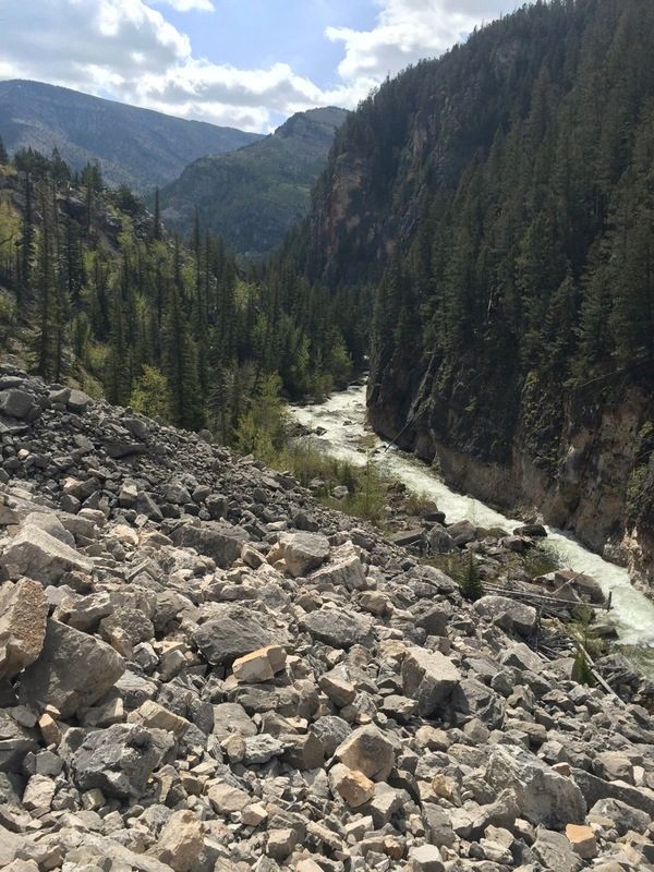
it was slow going for most of Lion Ck, but there were several really pretty falls along the way

I made it to the trailhead at ~ 11:45 AM with about 10 miles to go; I didn’t like the idea of hiking up the highway with screaming cars, so linked some old logging roads (with a little bushwacking mixed in), definitely took longer, but easier on the eyes and brain
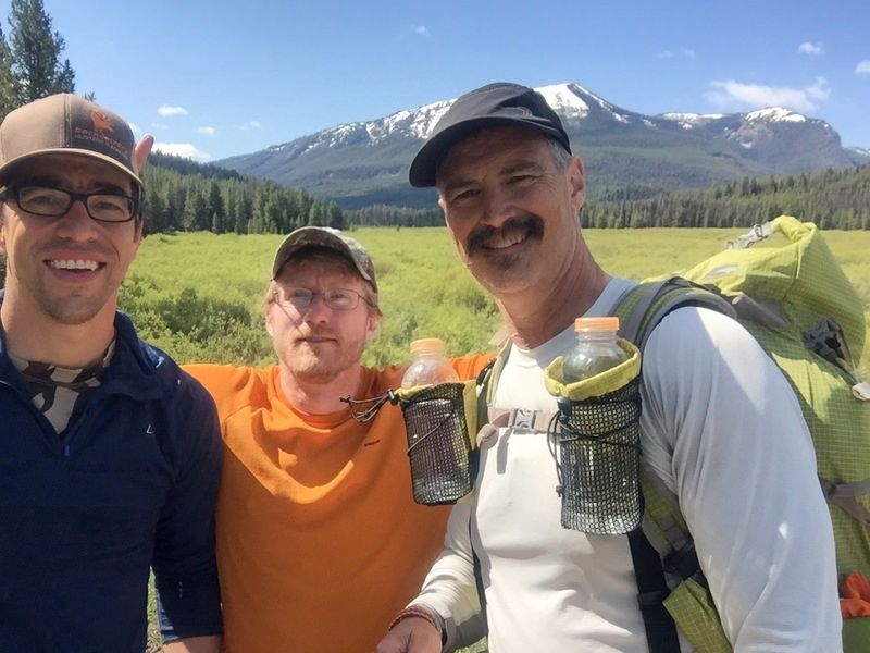
I made it to Cedar Ck at 3:45, not as fast as I hoped, but considering the difficulty of the trails- I’ll take it :) It was great hiking with John and Thad, much longer than I anticipated (probably long than they anticipated too!)
Now the wait for Dave’s announcement for 2017 and the planning begins again :)
Jun 2, 2016 at 10:08 pm #3406697Mike, it’s fun to read your full report. Heading up the Dearborn, I stopped to wait for you guys briefly to try and convince you to head over Observation with me. It sounds like you were just a couple hours behind me most of the way, I’m surprised we didn’t bump into each other. Also bizarre I didn’t see you at Cedar Creek. Anyway, sounds like you put in a great effort. Until next year!
Jun 3, 2016 at 9:33 am #3406755Thanks for the report Mike.
When I saw how steep the west side of Lion Creek pass was I knew someone was going to be sleeping at 7k.
Jun 3, 2016 at 10:55 am #3406783Thanks Mike. I really enjoyed the pictures and the report. I’ve got to visit Danaher meadows and the south Bob sometime.
Jun 4, 2016 at 5:13 pm #3407033Thanks for the great report and pics, Mike. Also wanted to thank you for posting your Spot tracking page — I was watching hourly and really enjoyed the vicarious hiking via you, Adrian and Derek’s PLBs! I couldn’t believe you went so far on day three, very impressive.
BTW, there was one point when you were headed up the Little Salmon trail, it looked like you zig-zagged backwards and downhill to get back on the trail. Did you lose the trail in snow and have to do that to find it again — or was the Spot info kerflooey? Just curious.
Congrats on another successful BMWO.
Jun 4, 2016 at 5:25 pm #3407036Sweet report. Thanks Mike. You make me feel lazy.
Jun 4, 2016 at 6:58 pm #3407054Thanks guys!
Dan- not sure if I was dodging blowdown up higher, but if it was lower- I made it to the trailhead missing my turn-off that I was going to take to link the various old logging roads, it cost me about a mile. I made a couple of other minor errors cutting across to the Goat Ck road- while it was clearly longer (at least time wise) I didn’t have to walk up the highway- just the 1/8 mile or so I had to walk on it was a little unnerving- cars and trucks wizzing by sounded like they were going 100 mph :(
Jun 12, 2016 at 2:07 pm #3408433Good stuff Mike. That long section of blowdowns… oh man… Looks like a good challenge for sure!
Jun 12, 2016 at 2:55 pm #3408446Jacob- hello and thanks :)
Craig and Adan mentioned something about a possible Rae Lakes Loop run- missed it somehow, linky?
Mike
-
AuthorPosts
- You must be logged in to reply to this topic.
Forum Posting
A Membership is required to post in the forums. Login or become a member to post in the member forums!
Trail Days Online! 2025 is this week:
Thursday, February 27 through Saturday, March 1 - Registration is Free.
Our Community Posts are Moderated
Backpacking Light community posts are moderated and here to foster helpful and positive discussions about lightweight backpacking. Please be mindful of our values and boundaries and review our Community Guidelines prior to posting.
Get the Newsletter
Gear Research & Discovery Tools
- Browse our curated Gear Shop
- See the latest Gear Deals and Sales
- Our Recommendations
- Search for Gear on Sale with the Gear Finder
- Used Gear Swap
- Member Gear Reviews and BPL Gear Review Articles
- Browse by Gear Type or Brand.

