Introduction
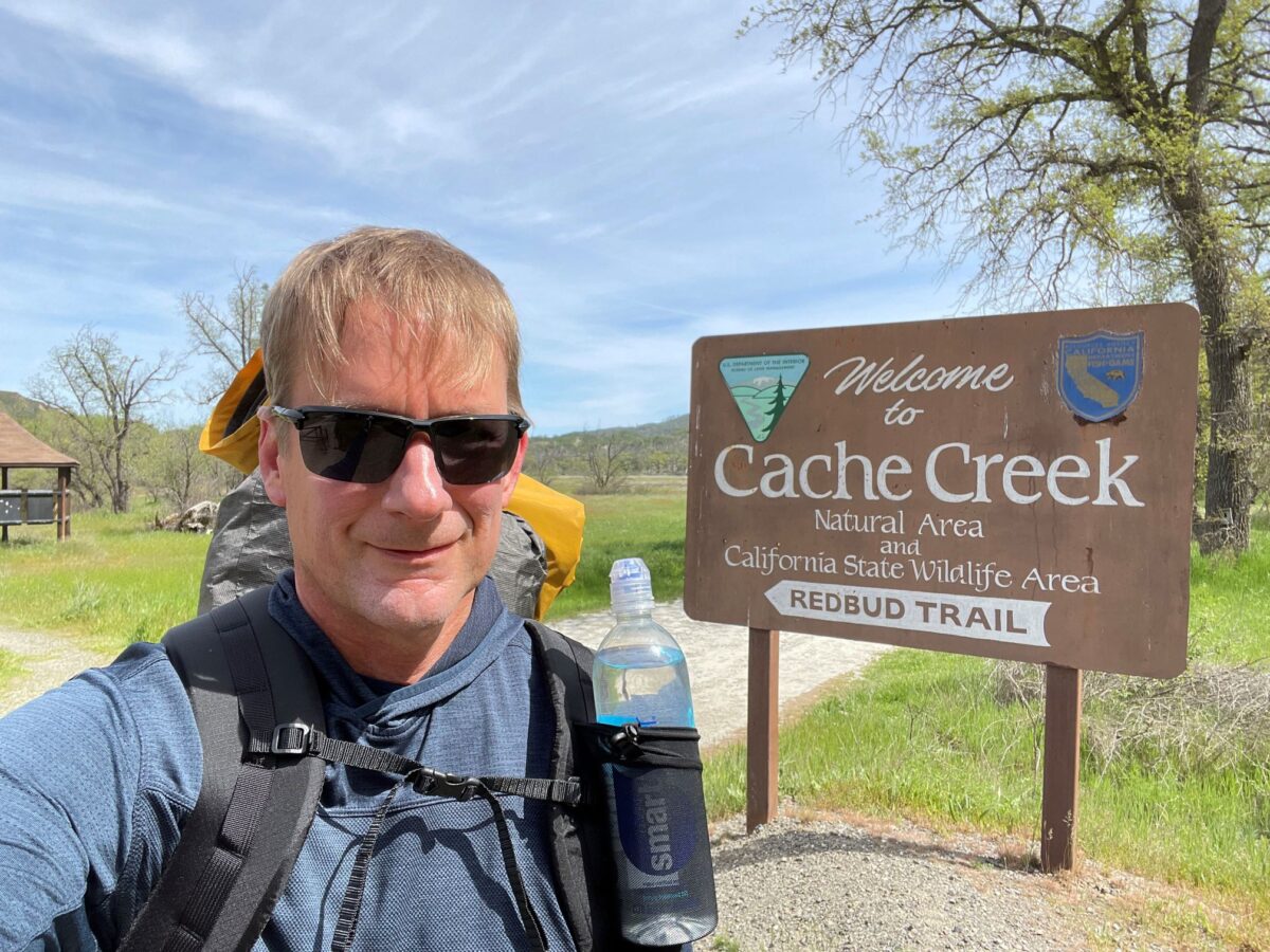
I had planned this hike to be my initial backpacking trip after retiring in January 2023. In addition it would be the first trip of the year, which would involve building up miles and doing a shakeout of new gear acquired in the offseason. This included my first UL backpack, a LiteAF 30L frameless. The area is located in the coastal mountains to the northwest of Sacramento, along state highway 20 east of Clear Lake, and from what I can tell from online maps, it is on BLM land. I had seen trailheads for this area while passing by on visits to Fort Bragg.
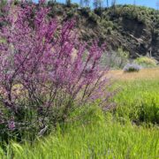
The area is at a lower elevation and can get hot in the summer. I thought that if I found a mild string of days in February, it would be a perfect time. Unfortunately, due to the extreme weather in winter 2023 (one of the wettest ever), I was only able to find one suitable window and that window had been taken up by prior commitments. So no trips for February. Then in early March I broke my forearm while skiing. That took me out of all activities except for simple hikes for about 7 weeks. Although the temps were a little warmer than I wanted, the time of year turned out almost perfectly. The area had peak wildflowers, the grasses and trees were green, and there was plenty of water.
The route I planned was a lollipop route consisting of an out and back trip along the Redbud and Judge Davis trails and then a loop in the ridge area to the east, with a drop down from the loop to gather water from Cache Creek. Total mileage for the trip was to be about 33 miles spread over three days.
I tried to find some prior trip reports on the internet but wasn’t very successful. I did find a few older ones on Backpacking Light, but nothing since a fire had burned through much of the area in 2015. I wasn’t sure what I would find. Was the area barren, or had it recovered?
Day 1: Saturday April 22 – Short hike along the creek
After spending a few hours packing and getting food ready at home, I left around 1:00 PM and got to the parking lot around 3:00 PM. I started the hike at 3:15 from the Redbud trail head. The trail mainly followed Cache Creek downstream, except for a couple climbs to get over minor ridges. The first ridge was encountered after about a mile of flat walking, and was crossed in half a mile. On the other side of the ridge was the first of two creek crossings, this one of Cache Creek at Baton Flat. The crossing was close to the upper end of my comfort level: the water was flowing pretty fast, and the deepest part of the channel was right as I got in on the near side, although the water was only about knee-deep. I was wearing mesh trail runners so decided it would be best to cross in my shoes and move on. Shortly after crossing the river, I came across a landslide which wiped out 20 yards of trail. It required a little bushwhacking above the slide area to get around it. The trail followed the creek again, then went up the second ridge. Up to this point there were no signs of fire, but scars still existed up on the ridge, including remnants of dead brush and a few dead trunks. That said, the brush is making a good comeback.
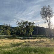
The trail stayed on the ridge for about a mile and then descended down to Wilson Valley, a classic California grassy foothill valley studded with oak trees. At the beginning of the valley was another creek crossing, of Rocky Creek. The water was less than a foot deep but just enough that I got my shoes and feet wet again. After crossing, it was a mile walk through the wonderful grasses, wildflowers, and oak trees to get to camp at around 6:00, at a location shown on Gaia as the fording of the creek, on the west side. This was a Saturday and I had about 5 other neighbors, but we were all relatively spread out with the closest about 25 yards away on the north side of the creek. Total distance for the day was about 6 miles.
Day 2: Sunday April 23
I got up at around 6:00 AM but it took a little longer than expected to eat and pack up, so I didn’t get out of camp until 7:45. Even then, the trail continued on the east side of Cache Creek, so I had to cross it. It took another half hour to find a good spot, which was at a set of riffles a little upstream, then wading almost directly upstream of the riffles to find a spot along the channel (on the far side) where the water wasn’t moving fast and where I could get out. So, I basically got out of camp at 8:15. If I had thought about it I should have crossed the creek the evening before.
After crossing the creek it was starting to get warm. The hike started with a 1200 foot climb (from 1000 to 2200 feet) to the ridge northeast of the creek, which was uneventful. The fire had come through this area and had decimated the brush, but now the brush has mostly regrown. The trail climbs a southwest facing slope (hot) so there were not many trees to burn. Of the few stands I passed, about 60 percent were alive and thriving, the other 40 percent were dead. In the late morning I got to the top, and followed a trail east over to an oak forest along the ridge and valley network, starting my loop. The forest was pretty intact, with evidence of the fire only around the edges. I dropped down towards an interior valley just north of Thompson Canyon, stopping for a quick lunch under the shade of a tree. I followed a clockwise loop through this area. Just before I came to the valley I encountered a seasonal creek with a pretty good flow. It was in this area that I saw the only other people this day after leaving camp, four day hikers.
The trail went roughly north to south following the valley, then rose a few hundred feet to the Cache Creek Ridge, passing by some more seasonal streams. I crossed the ridge and via a different trail dropped 800 feet to Cache Creek again, downstream of Kennedy Flats, to get water. It was unnecessary due to the frequent seasonal streams, but I felt I needed the work out. The creek didn’t have a lot of river access; most of it was covered by snags or blackberry thorns. It was hot and would have been nice to go for a swim but there wasn’t a good place with shade and a sandbar, so I got the water and went back uphill again. By the time I got back to the main ridge I was pretty tired. I was trying to get to a spot labeled Dunfield Flats (presumably a flat spot on the ridge), but instead I only went about a mile and a half and stopped at a spot next to the trail for a dry camp. Total mileage for the day was about 13.5. This was a pretty poor spot; it was sloped, but there was a stand of oak trees which buffered the wind.
Day 3: Monday April 24 – Back to the Car
Since I got a late start the day before I got up early (5:45) and was out of camp by 7:15. Still not great at 90 minutes to get out of camp but at least I was early. The early-ness paid off as I was cool (almost cold) for the first 90 minutes of the hike, and even the next 90 minutes getting back to the Cache Creek crossing were not bad. The trail followed the main ridgeline (Cache Creek Ridge). Soon I passed by Dunfield Flats and I observed it would have been a good place to camp and even had a small cow pond which could have been used for water pulls, assuming the pond had been cleansed by the rainy winter. I should mention that there was evidence of cow grazing throughout the ridge and valley area, for example hoof marks and frequent ranch ponds, but I did not see any actual cows. Perhaps it was too early in the season.
The morning walk through the oak forests was peaceful. Farther along the ridge was one half mile section where there was a large stand of dead oak trees on both sides. Just before the first morning break I was back on the out-and-back portion of the trail. I was coming back down from the ridge when I saw three other backpackers, the only people I would see that day until I got back to the car. Presumably they were returning from camp at Cache Creek. By mid morning I got down to the creek crossing. This time it was much faster to cross, since I knew where to go. After a long break drying my feet out, I continued on, taking numerous photographs of wildflowers in Wilson Valley. I had lunch about three miles out from the trailhead, went around the landslide and crossed Cache Creek again, returning to my car in the early afternoon. About another 13.5 miles of hiking this day.
Overall I was impressed with Cache Creek wilderness. It reminds me of a smaller version of Henry Coe State Park, which is also situated in the Coastal Range but further south, although a little more rugged and with more water. The condition of the trails was pretty good. Besides the landslide, the Redbud trail was in need of some maintenance (rutting, some sections overgrown) but still easy to follow. The Judge Davis section was in good shape, and almost all the trails in the ridge and valley loop section had been recently gone over by a bulldozer. The trail I took to get water in Cache Creek had not been maintained but was along a fire road so was easy to follow. Also, not much in the way of poison oak.





Home › Forums › Cache Creek Wilderness – April 2023