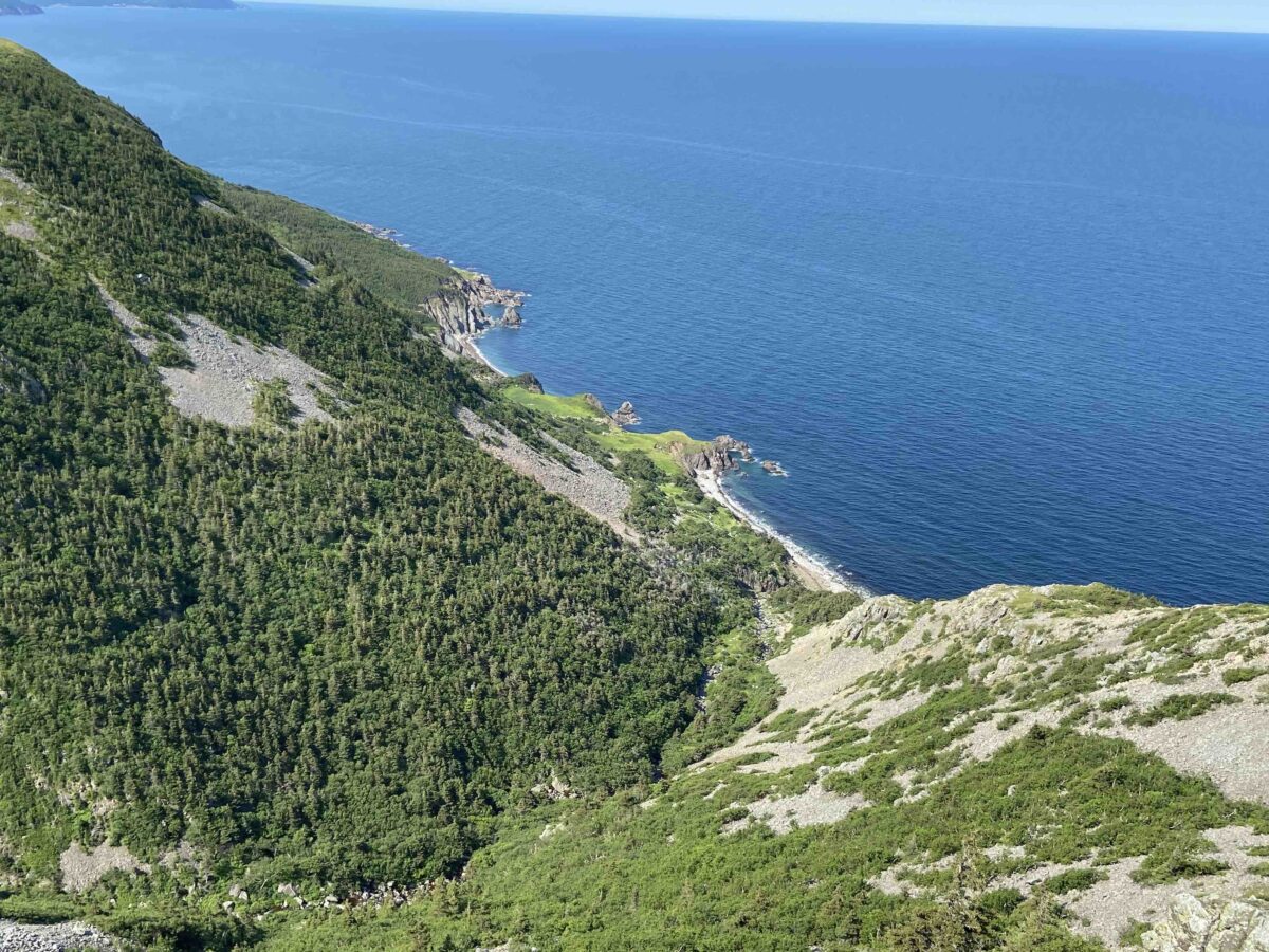
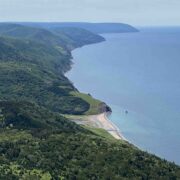
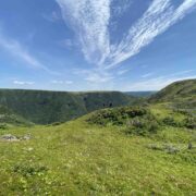
The Polletts Cove – Aspy Fault Wilderness Area is a completely unpopulated preserve north of the famed Cabot Trail in Cape Breton, Nova Scotia. It is said that Cape Breton was made with magic and the PCAF Wilderness Area is a part of it that almost no one gets to see – excluding the inshore fishing fleet of course, but even they only get to view it from the sea and not from “boots on the ground”.
There is a committee of committed volunteers striving to build what they will call the Seawall Trail from Cape North over to Polletts Cove and north to Meat Cove, near the most northerly point of land in the province. This will be a “hut hike” when and if it’s completed. Our plan was to walk (read bushwhack) the proposed route of the trial in a “so-bo” direction from Meat Cove down to Polletts Cove camping at the proposed hut locations. The tag line of the Seawall Trail is “Through the valleys and along the cliffs where the land and sea collide exists the perfect place for an epic trail”. Inviting, no?
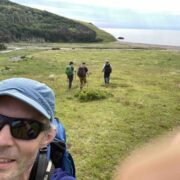
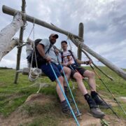
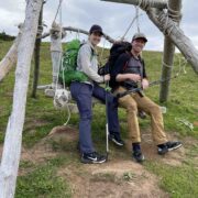
Day One saw us (Shane, Joff, Mark, and Christina) leave Meat Cove via the Bay St Lawrence Trail which took us through Acadian forest and spit us out at the coast near the location of the lighthouse. A lunch stop here was idyllic near the calm ocean and under clear blue skies. We were visited by a (somewhat) wild horse during our seaside picnic. I was so mesmerized by the surprise addition to the party that I didn’t get a picture. Maybe that’s a good thing indicating that I was simply living the moment.
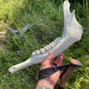
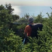
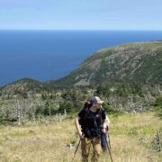
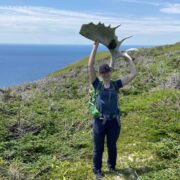
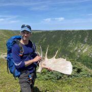
Shortly after lunch we eventually stepped off the trail and began what would be a 3-day bushwhack south to the Polletts Cove trail which would take us to our vehicles. We quickly realized that walking hardwood stands was preferable to swimming over and through evergreen shrubbery–open terrain identified on the satellite imagery being even better! And moose sign was always a plus as it would indicate that we were on a moose trail which facilitated our passage. The shed moose racks and skeletons, which were at first quite a novelty requiring a picture, eventually became quite commonplace.
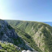
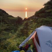
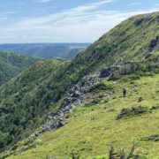
The highlights of the off-trail portion of the route, and indeed the reason for attempting the route in the first place, were Sailors Cove and Delaneys Point. The climb out of Sailors Point came early on in Day 2. The lower third of the 400m/1300ft climb was a class 3 scramble just at the edge of comfort with packs and the upper two thirds was a survival bushwhack made easier by braided moose trails. Lower Delaneys Brook came at the end of Day 2 and afforded a view across to the spur that would need to be descended to sea level the next morning. Getting to camp on Day 2 required a late-day push inland followed by a drop down to the brook and a steep climb away to a somewhat flat area for tents. Exhausted there was not time nor energy for campfires this night.
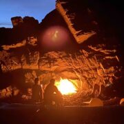
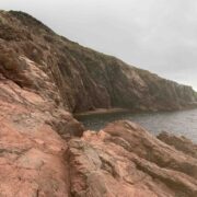
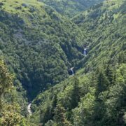
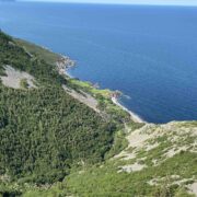
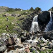
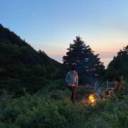
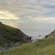
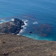
Day 3 as mentioned began with the technical descent to the ocean. Here we enjoyed lunch near a waterfall on a large drift wood log at the beach. From there it was mostly up and down and in and out of the woods with amazing ocean views being well-earned by pushing through hard bushwhacks and tripping over moose racks. It was great to be able to look back north up the coast and see that Delaneys, both the jewel and crux of the trip, was behind us. Day 3 ended at Malcolms Brook in a panic to find dry, flat tent sites. Amazingly, this panic quickly ended abruptly when we came across an established site complete with a fire ring, dry wood, and room for our three tents. Life was good. I fashioned my campfire seat out of a curve piece of driftwood and a moose antler.
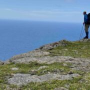
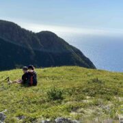
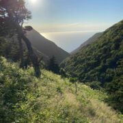
Day 4 afforded the best inland views after climbing up and away from Malcolms Brook. We looked forward to this day as we knew that once we gain the highland elevation our progress would be quick and easy over the open field terrain. By afternoon, the field revealed views of our destination—Polletts Cove Beach. This was the moment of success, but shortly after the fist pump and pole raise we began a steep scree-surfing descent back down to sea level. Polletts Cove historically was an outpost community and has old foundations and purportedly a graveyard. It, as well as the trail leading north to it, are privately owned. The owners graciously allow hikers to access the beach but I have to say that unfortunately Instagram may have ruined this jewel by the sea. But for us, it represented a successful end of our trip. The original plan was to camp a fourth night here and to hike the 7km trail out to the vehicles in the morning, but the thought of celebratory pizza and beer had us driving by sun set.
If the Seawall Trail is ever realized, it will be a MUST. I look forward to hiking it and regaling my mates with tales of, “ten years ago when I first hiked this terrain, I mostly crawled under the Christmas trees on my hands and knees”. Thanks for reading my first BPL post.
–Shane



Home › Forums › Aspy Fault Traverse, Cape Breton, Nova Scotia, Canada