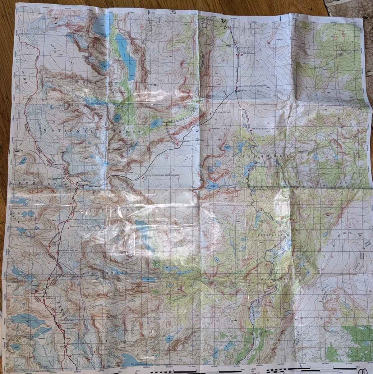
I’m selling custom printed topo maps of Andrew Skurka’s Wind River High Route. I made these myself. They cover the entire route as well as many alternates. There are 13 total maps, all using USGS topos at 1:24,000 scale. They are printed in color on 11″ x 17″ paper, then carefully cut up and taped together to make the maps show the largest area possible. They are then coated with a clear plastic film used for drawers, making them very waterproof, tear resistant, and easy to write on with a pencil or non-permanent pen. Each map in the series overlaps a bit with the previous one and the next one.
They are annotated with key features and beta along the way. Since it’s a route, the tracks were generated using CalTopo’s mapbuilder overlay as well as my best guestimate on where to go. Some of them are definitely suboptimal routes or have a few errors here and there, but that’s what makes it fun.
They are pretty heavy at 970 g total, but I decided to coat them after a previous trip resulted in all of the maps torn and melted after a day or two because it rains in the Winds all the time.
I’m asking $40 shipped, CONUS. That may sound expensive, but printing color 11 x 17″ sheets is very pricey and this doesn’t even recoup my printing costs. And plotting the route, annotating them, cutting up the maps, taping them back together, and coating them will take you countless hours.


Login as a Member to ask a question or contact the owner of this listing.
Membership Login