This product feature was published in conjunction with the Virtual Pack Project from Outdoor Retailer Winter Market 2008. Click here for more information about the ORWM 2008 Virtual Pack Project.
|
|
|
Bob is a glutton for punishment. Nothing is going to stop him from making mega miles per day. Not white out. Not short winter days. He’s going to hike if he can’t see six feet in front of him. He’s going to hike hours after the dark. With all his warm clothes and headlamp, he might hike all night.
Bob is not the most astute route-finder. He’s going to need some serious navigational help to prevent him from getting desperately lost in these difficult conditions. A good mapping GPS with some spare lithium batteries is what he needs.
We were tempted with the new Colorado 400t with its large, high resolution screen and nifty 3-D visualizations and shaded topographic maps. But the Colorado is only a few weeks old and we don’t know enough about its operation or its battery life in cold weather. At over 7 oz it’s a bit on the heavy side for ultralight, even with all its promised assets.
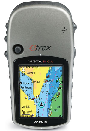
We decided to go with the proven technology, lighter weight, reliability, and battery life of the venerable mapping eTrex series. The new Garmin eTrex Vista HCx GPS with a high performance receiver that will work reliably in trees is just what he needs. Bob may very well take the Colorado 400t next year once it is thoroughly field tested and proven itself reliable.
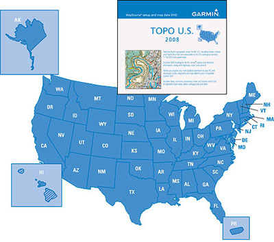
To be useful Bob’s GPS needs internal topographic maps. Since he’s using a Garmin GPS there’s only one choice that will load into his GPS, Garmin maps. “Garmin MapSource Topo U.S. 2008” Topographic Maps covers the entire US at 1:100K resolution. (If Bob is lucky and in a National Park or surrounding area he could load MapSource US TOPO 24K, National Parks, East and West topographic maps into the eTrex Vista HCx).


