Topic
Why use compass/maps if I have a GPS track for off trail hiking on the SHR?
Forum Posting
A Membership is required to post in the forums. Login or become a member to post in the member forums!
Home › Forums › General Forums › Philosophy & Technique › Why use compass/maps if I have a GPS track for off trail hiking on the SHR?
- This topic has 31 replies, 18 voices, and was last updated 4 years, 1 month ago by
 David Gardner.
-
AuthorPosts
-
Dec 13, 2020 at 7:51 pm #3688833
Alas, the medical definition of “middle-aged” is “5 years older than the doctor” and since Kristin is 6 years my junior, I’ve been middle-aged since 1995.
While I am very HYOH on this topic, for myself, GPS units take me out of the wilderness experience while map & compass immerse me into it more. Even worse than diddling with the GPS for navigation is when it’s an InReach and hiking/hunting companions are constantly pinging each other. Did a bear rip your arm off? If not, don’t message me!
Dec 13, 2020 at 8:04 pm #3688838Maps don’t have this problem.
 Dec 13, 2020 at 8:42 pm #3688850
Ha ha!
Maps can get torn, get wet:-) Need to have a screen protector:-) Compass can break too!
I used to carry my phone on my hiking pole. This was a nice way to check the map and take pictures etc. No fishing out of pockets etc. Of course, when I lean the hiking pole on the tree to take a leak etc, the pole falls down and down goes the phone. This has happened several times. Have fallen down with the hiking pole flying forward and breaking the attachment to the hiking pole. In spite of the multiple falls – my phone was protected by my screen protector and the screen protector survived as well!
Dec 20, 2020 at 5:31 pm #3689990Why I like using both? It is so much easier to plan a route on a paper map where you can visually see more of the terrain in detail at one time than I can on the small screen of a dedicated GPS or even on my large smartphone. I do like feeling like I know where I am in relation to the map as I can place myself mentally in the terrain better and know where I’m going without having to look at either for awhile. And it gives me something to do during breaks. I usually will do a sanity check occasionally with a GPS track just to make sure I’m still going the right way because occasionally mistakes happen or that hiker use path that you thought was going the same way was actually just an animal path that veered off at some point. I can’t tell you have many times I’ve veered off on well defined cow paths instead of what should have been a faint rarely used trail. Never mind doing actual cross country travel which I also do often.
When heavily relying on my GPS or smartphone, I am so much more tempted to just blindly following a track with little idea where I actually am or where I’m going. And often do end up doing just that. Things do move quicker. But I would be hard press to tell anyone directions or how I got to where I am. Even with a GPS track, I have discovered myself to be in a parallel canyon and only noticed it when the direction of that canyon finally changed in relationship to the one I should have been in due to the poor accuracy of my GPS lock at the time and how far zoomed out I was so I could see something about what the route was going to do later.
Let me give a little example of what tends to bother me about the No Mappers. When I first started getting interested in hiking the CDT a decade ago after thru-hiking the PCT, GPS were more primitive and battery hungry, smartphones weren’t real options, and the route was less defined as a path. Many of my hiking friends who quickly went on to hike it talked about being misplaced (i.e. temporarily lost) at least once a day if not more so but learned a lot about navigation. Now today, with smartphones being more battery efficient and quite accurate GPS alternatives with better mapping displays, and apps like Guthook with a track line that you can follow all day without having to worry about not having enough battery life. I now hear stories of hikers who started the CDT not knowing anything about navigation, later finishing the trail without having learned anything about navigation, having just blindly followed Guthook the entire way (though the CDT isn’t as wild or trailess as it once was as my own sectioning of it can attest). But for some reason, I find that fact very troubling, though I can’t fully explain why that is. It’s just that I feel like something important is being lost. I have met other hikers who didn’t just break or dunk their phone which they were relying on as their GPS, but have actually lost it somewhere in a cross country section, it would seem like having some sort of backup system would be called for that doesn’t rely on asking strangers, for multi-day assistance to get somewhere.
Dec 20, 2020 at 6:50 pm #3690000I like bringing a map if I’m going for weeks where trails have not been maintained for a while, because more than once I found myself needing to re-plan major parts of the trip, and that is hard to do on a tiny screen.
But in general the hassle of finding or printing paper maps is greater than they’re worth for me. Even if my gadget didn’t have GPS I’d keep using it just to avoid managing the paper.
I wouldn’t use your standard smartphone for it though, I think they’re way too flimsy – I’ve had one die from humidity and countless beaten by simple dirt getting up in the charging port (and I never even used them on the trail). I got a “rugged” phone specifically for this purpose.
Dec 21, 2020 at 8:20 pm #3690193Hey Miner – I haven’t seen your responses in a while. I have read your comments on frameless packs here on BPL what you made a few years back when I was researching them.
My backpacking objective is to enjoy the beauty of nature. Everything else is secondary. I mean, I am not going there for camping or sleeping under the stars or getting away from the daily grind of life etc. Nope. Want to see the beauty of nature. National parks have become too crowded and more beauty can be experienced with backpacking. So, navigation, food, gear etc are an means to the end of experiencing the beauty of nature. All my long hikes, I have used Guthook or gpx tracks I created for hikes. Never relied on maps/compass. To me, the act of getting lost seems inefficient as it can disrupt the flow of the hike. Hence the GPS.
I have read so many accounts of folks getting lost on the SHR because they were using maps/compass and they had to check the GPS to get back. I read a SHR trip report of 3 women (at least one is a triple crowner, I suspect the other two are as well) who didn’t want to use GPS and just rely on maps/compass like Steve Roper did. They went to a different lake thinking it was the lake under Frozen lake pass and after realizing their mistake, they decided to climb over the ridge to get to Frozen lake pass rather than going down and going back up. I don’t want to make such mistakes. Of course, we will make different set of mistakes:-) SHR is supposed to be extremely hard hike. Why complicate it more? Just like Jerry Adams – I keep looking at my GPS quite often to make sure I am on the right track.
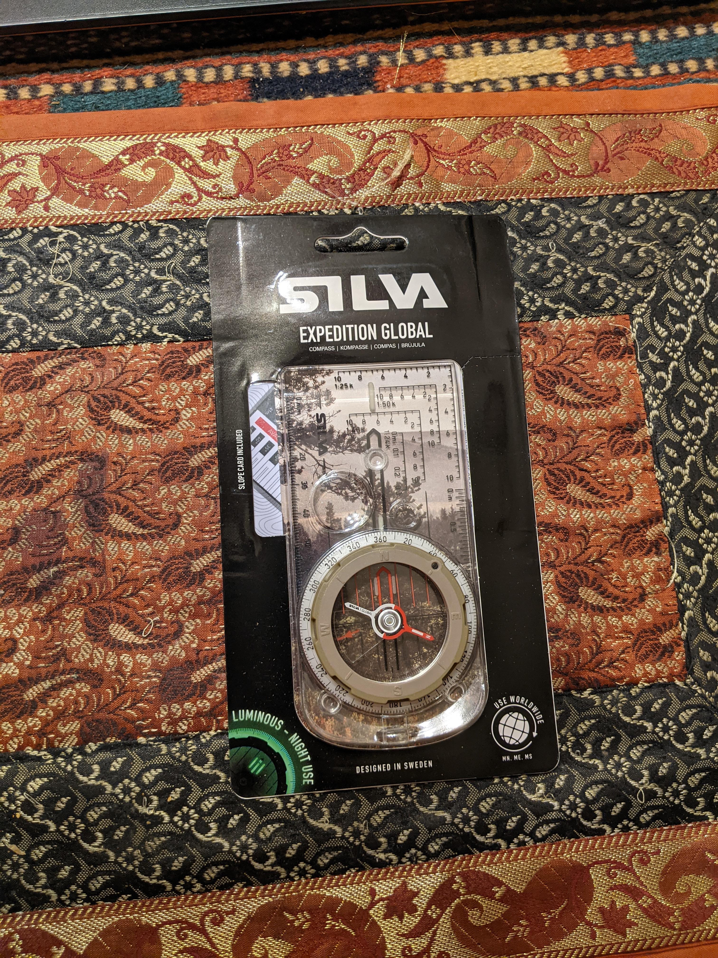
If you grow up on GPS, then it is second nature for folks to use only GPS. I think if you grew up on maps/compass, then that is what you are comfortable with. I will carry 11×17’s and a compass. Here is my brand new compass – I already feel badass:-)
Dec 21, 2020 at 11:01 pm #3690204Back atcha bro
It’s going to be an interesting trip.
-
AuthorPosts
- You must be logged in to reply to this topic.
Forum Posting
A Membership is required to post in the forums. Login or become a member to post in the member forums!

Our Community Posts are Moderated
Backpacking Light community posts are moderated and here to foster helpful and positive discussions about lightweight backpacking. Please be mindful of our values and boundaries and review our Community Guidelines prior to posting.
Get the Newsletter
Gear Research & Discovery Tools
- Browse our curated Gear Shop
- See the latest Gear Deals and Sales
- Our Recommendations
- Search for Gear on Sale with the Gear Finder
- Used Gear Swap
- Member Gear Reviews and BPL Gear Review Articles
- Browse by Gear Type or Brand.
