Topic
The Frank Church 350
Forum Posting
A Membership is required to post in the forums. Login or become a member to post in the member forums!
Home › Forums › Campfire › Member Trip Reports › The Frank Church 350
- This topic has 17 replies, 9 voices, and was last updated 1 year, 5 months ago by
 baja bob.
-
AuthorPosts
-
Aug 2, 2023 at 5:08 pm #3786128
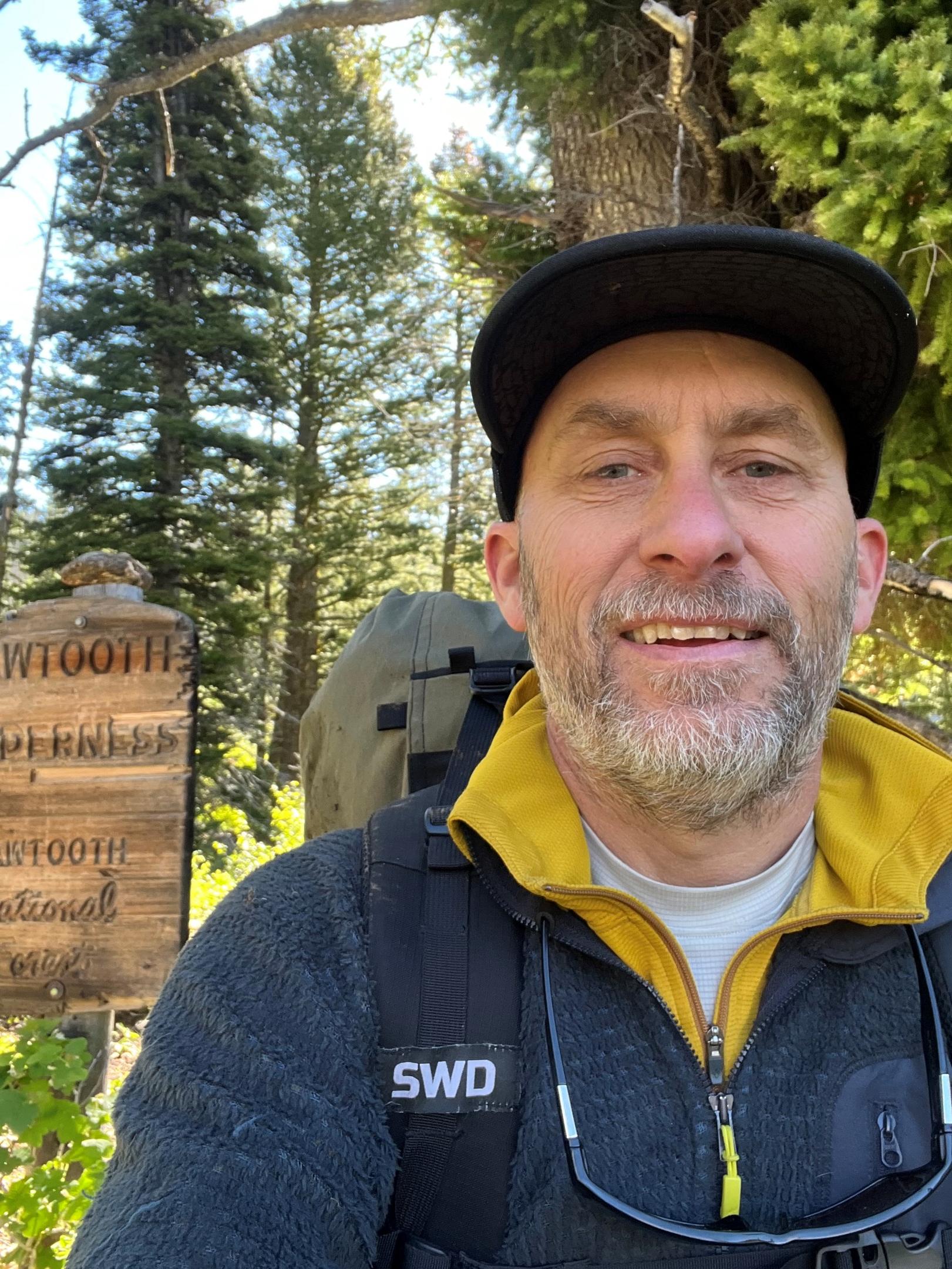
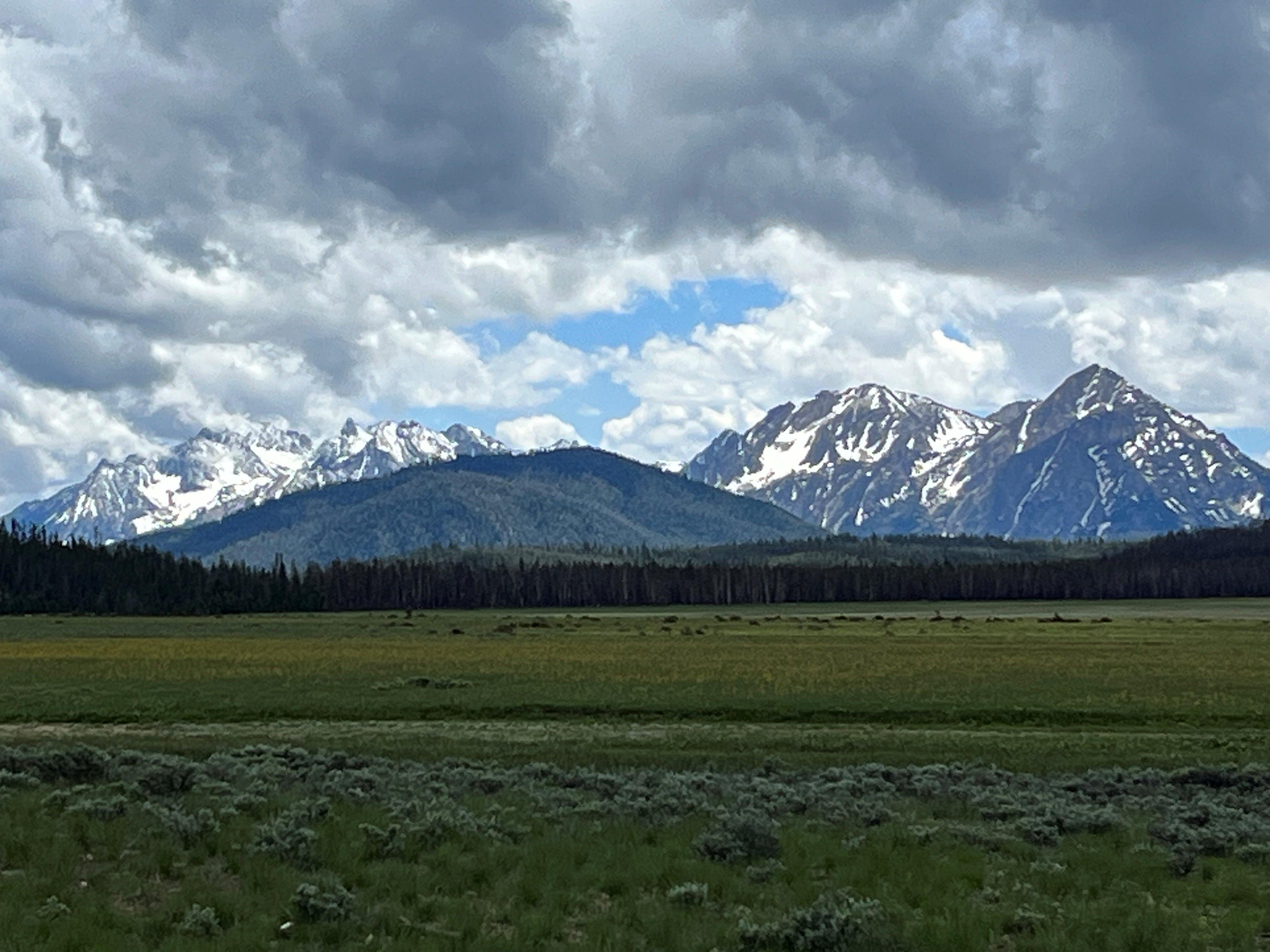
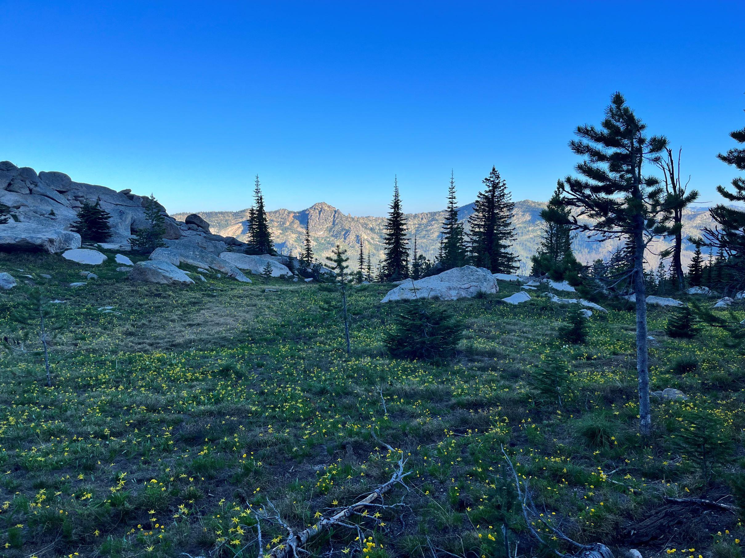
Recently a block of time became available that gave me the idea to give a portion of the Idaho Centennial Trail a go. This entire route has intrigued me for quite some time and my main objectives for this trip were simple. See as much country as possible in the 18ish day timeframe and immerse myself into the wilderness. What was to become of this trip was far more meaningful and fulfilling than I was anticipating. The plan was to start on the southern end of the Sawtooth Wilderness at Willow Creek trailhead off the Boise River and finish at Wilderness Gateway off the Lochsa River. In between there would be two resupply locations Lola Creek campground at the southern end of the Frank and Campbell’s Ferry in the heart of the Frank along the main Salmon River. My sister and brother in law had recently purchased a truck camper and were eager to do some exploring so the drive from Columbus MT to Lola creek sounded like a great inaugural adventure. They would bring my first resupply and gear dump. The second resupply became more complicated. It took some research to figure out how to get a package into the Wilderness. I started out by contacting the field office of the forest service and was told that they didn’t have a clue as to how people coordinated resupplies but wilderness patrol cabins received mail and resupply every Wednesday through Smith Aviation. My next avenue was to email Clay from the Idaho Trails association however his email had been returned immediately as he no longer is with the association. I then struck gold with Melanie Vining, the executive director of the association. She was a treasure trove of beta regarding the trail, conditions, and anything related to the trail. With her help I was able to airmail a package to the people at Campbell’s Ferry using the USPS. With everything in place my wife dropped me off on June 17th. In my pre-trip research it became apparent that the Sawtooth’s had experienced larger than normal snowfall. I was prepared for the high passes with an ice ax and micro spikes. I called an audible at the trailhead trading my 50 degree quilt for a 30 degree and swapped out my light rain jacket for more of a hard-shell. These last minute swaps would prove to be great gut decisions.

My first day went well, knocking out one of the snowy passes, and clicking off 19 miles before the rain/snow started. That night it snowed with temps well below freezing that made for frozen shoes and socks in the morning. The second day felt like I was getting a good groove on with great trails, awesome scenery, spicy fords, and route finding snowy passes. Once again with almost twenty miles in the rain/snow started so I camped before the third pass in the snow at 8900’. The third day began again with the same fresh snow and frozen footwear. Pushing the pass early to take advantage of the hard snow made for a pleasant trip into the South Fork Payette River. With the recent moisture everyday at 4pm and the healthy snowpack the streams were swollen and when I got to the ford above Elk Lake it looked raging. Surveying from the bank I chose a deep entrance to a somewhat shallow looking finish. Upon entering the river it was clearly too spicy to stay on your feet. I retreated back to the bank, made preparations for the swim, and in I went. Finally on the other side under my breath I muttered “the things I do for fun” and let out a chuckle. The rest of the day was filled with a good trail and great scenery. Again at 4pm the rain started and I camped after a 20 mile day near Grandjean.

The fourth day started like the prior days but this time with rain,wet brush and heavy fog. My plan was to get to Lola Creek C.G. a 30 mile run that involved a lengthy road walk so I started at 5am sharp. The last pass in the Sawtooth’s came easily with consolidated snow that helped click off some steady miles. Hiking through an area called Elk meadows outside the wilderness there were no elk but loads of noisy sandhill cranes. The highway led me to a side dirt road where the sun came out and I decided to eat lunch at the one lonely tree in the flat known as Cape Horn.

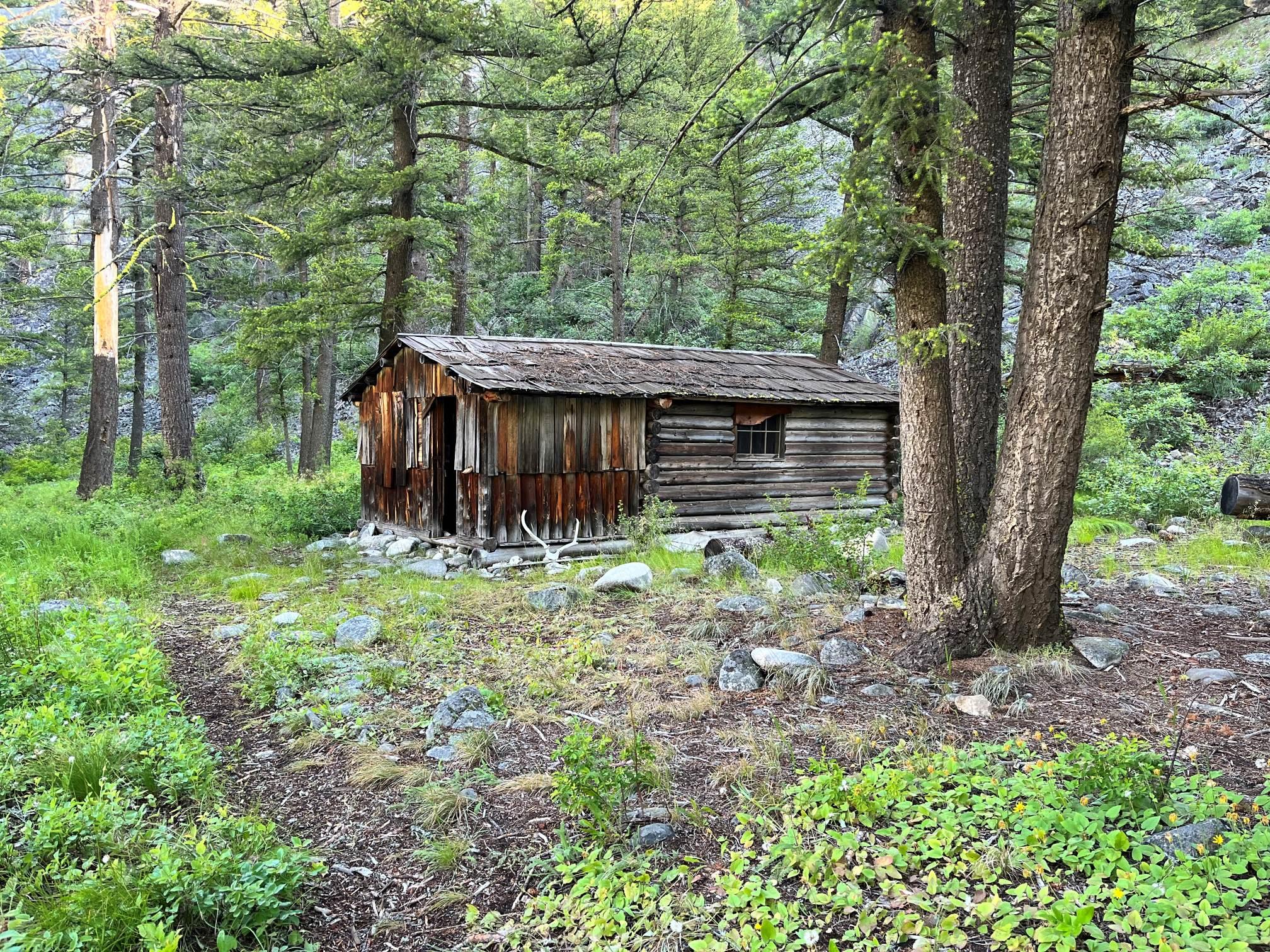
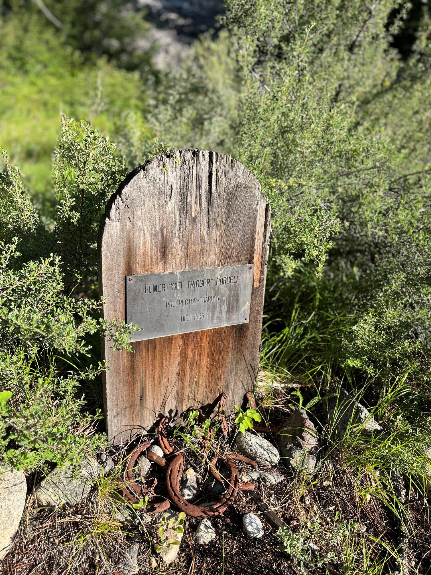
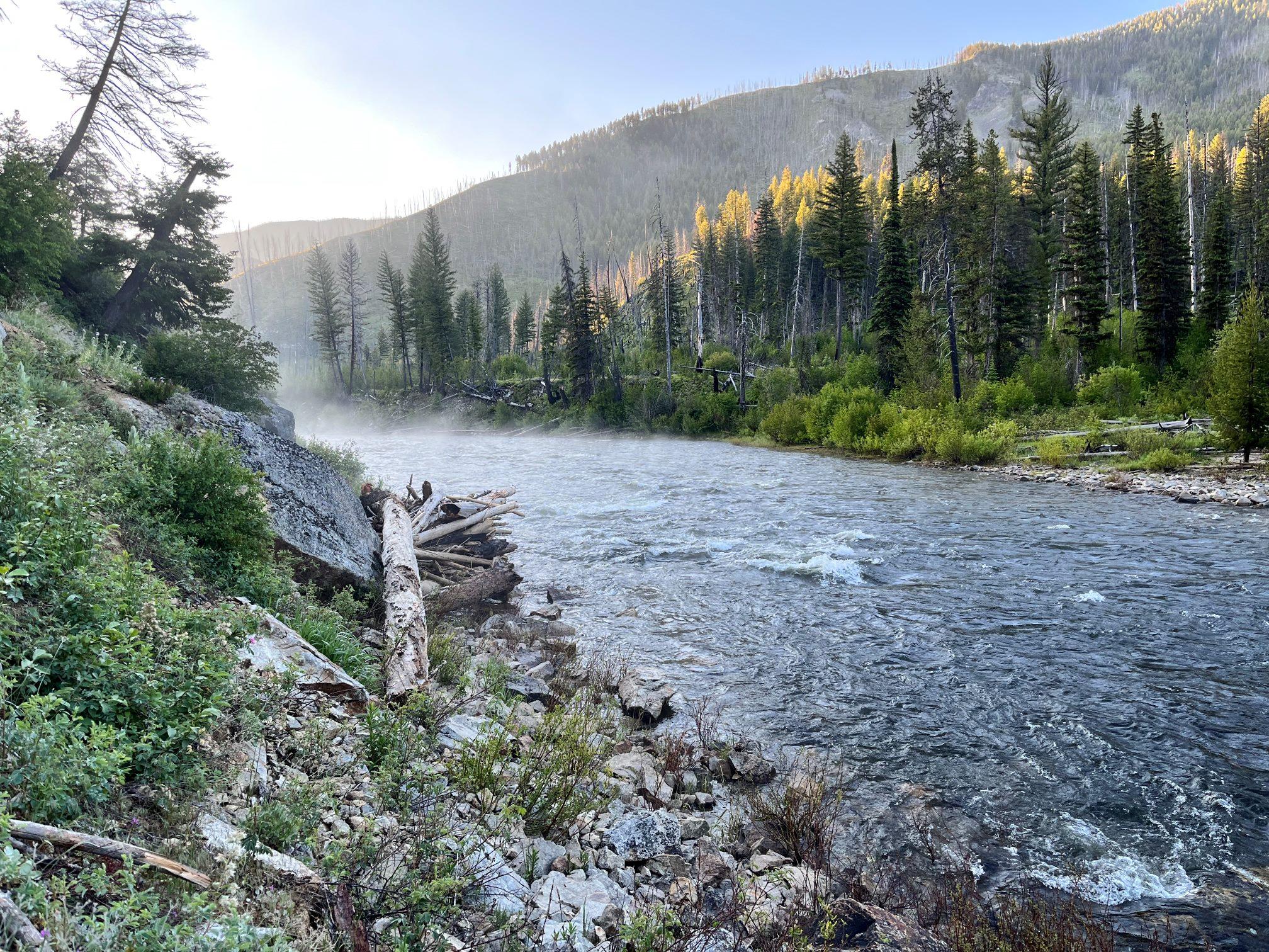
While eating and watching my yard sale of gear dry in the sun I could hear what sounded like a whitetail deer bleating. Turns out it was a curious antelope at 30 yards trying to figure out what was going on. By the time I reached Lola Campground I was done having traveled thirty miles with over half on roads. My re-supply showed up and I left the ax and micro spikes with them. Early the next day hiking from the campground to the trailhead a car stopped to ask me where I was heading. “the Lochsa” to which he replied “that’s a loooong way from here son”. It turns out he is a volunteer for the Idaho Trails Association and he warned me that the trail conditions would be challenging at best with an impasse ahead from an avalanche. “failure was not an option” and bid him a farewell. This is what I signed up for and when I entered Frank it felt like a lifelong dream was becoming a reality. The trail down the Middle Fork Salmon was great until I hit the avalanche debris field the fella had warned me about. The hard icy snow was down into the river in a steep gully. With no traction aid or ax for self arrest I weighed my options. I would rather voluntarily get into the river instead of sliding into it off the snow. I prepped my gear and went into the river. The current was really pushy and before I knew it I was past the obstruction and swimming for the shoreline. Back on the trail I was pushing the pace to try to warm up when the rain started again. Wearing almost all of my layers I reached the main put in for the MFS where boats are roped down a slide to enter the river. After watching a group lower their boat down, the rain halted, and I entered back into the trail groove of things. Surprisingly the trail was in great shape and freshly cut, and before long I heard the sounds from a trailcrew’s crosscut. We chatted about different trails and the crew leader gave me a warning about the upcoming Marble Creek trail and offered some insight on a hot spring and camp spot that was nearby. Upon reaching it, surprisingly there was nobody there. I immediately went down to the hot spring next to the river. What an amazing feeling to soak after being wet and cold all day. Back at camp, dinner and that sleeping bag felt like home. Around 8 pm voices from some rafters woke me up, and my private camp then became ground zero. To each his own but It took them over an hour to haul all of their gear and another 45 min to set it up. They were super nice and offered me some food and drinks but I was in for the night. Got moving super early before the rafters were up and enjoyed a nice trail along the Middle Fork. Came across an old trappers cabin and grave.


Lots of rafters on the river today and the biggest gear boat I have ever seen. It was the size of a pontoon boat with just enough room for two people. Stopped at Pistol Creek rapids to watch people get bounced around, it was very entertaining. Walking through Pistol Creek Ranch was odd because of all the high end cabins in the middle of the wilderness. Found a great camp spot on a bluff above the river and set up for the night. The next day started at 5am with wet shoes, socks, and rain gear for the brush . Today was the day I would tackle the infamous Marble Creek trail so I was preparing mentally. My last day on the Middle Fork was nice and the quality of the trees and flowers were outstanding.

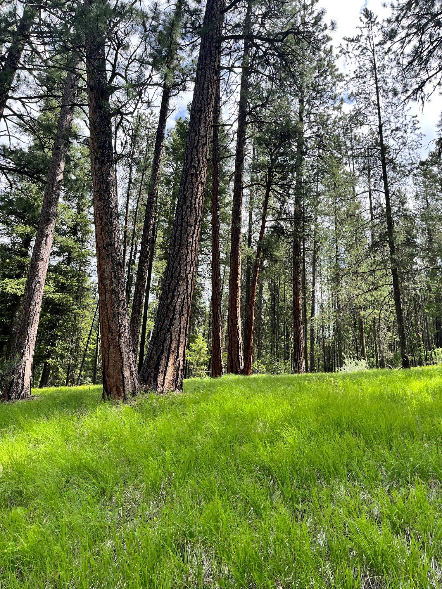
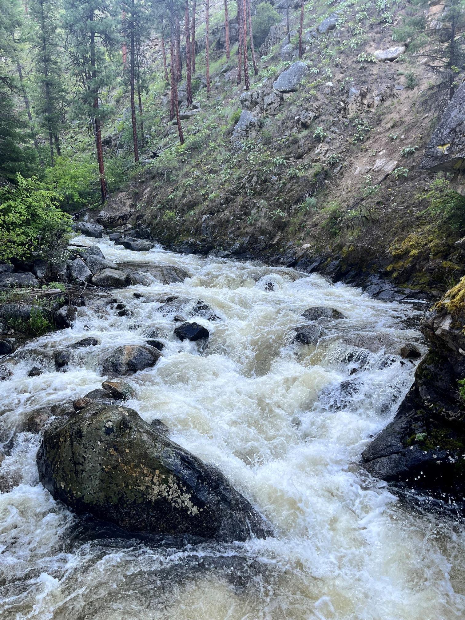
When leaving the Middle Fork and entering Marble Creek Canyon, the creek was swollen bank to bank, and the trail led me to the landing strip without much drama. My first ford was above waist deep, pushy, and it took some effort to stay on your feet. I immediately lost the trail at this point and had to do some backtracking to find some tread. Lots of route finding and the next 10 fords were just like the first. Luckily there was a recent black bear heading in the same direction so I followed their tracks. Most of the day was spent fording Marble Creek, thick brush over your head, and no sign of any trail whatsoever. The steep walled canyon housed loads of big yellow pine and hillsides covered in wildflowers. Part of the way up the trail I was noticing a pattern with the yellow pines. They are almost all schoolmarms!

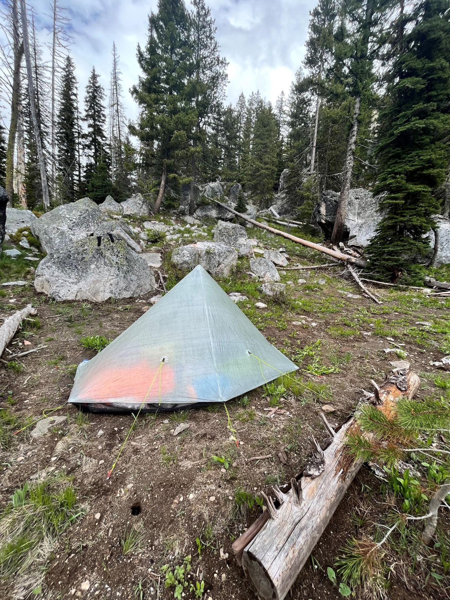
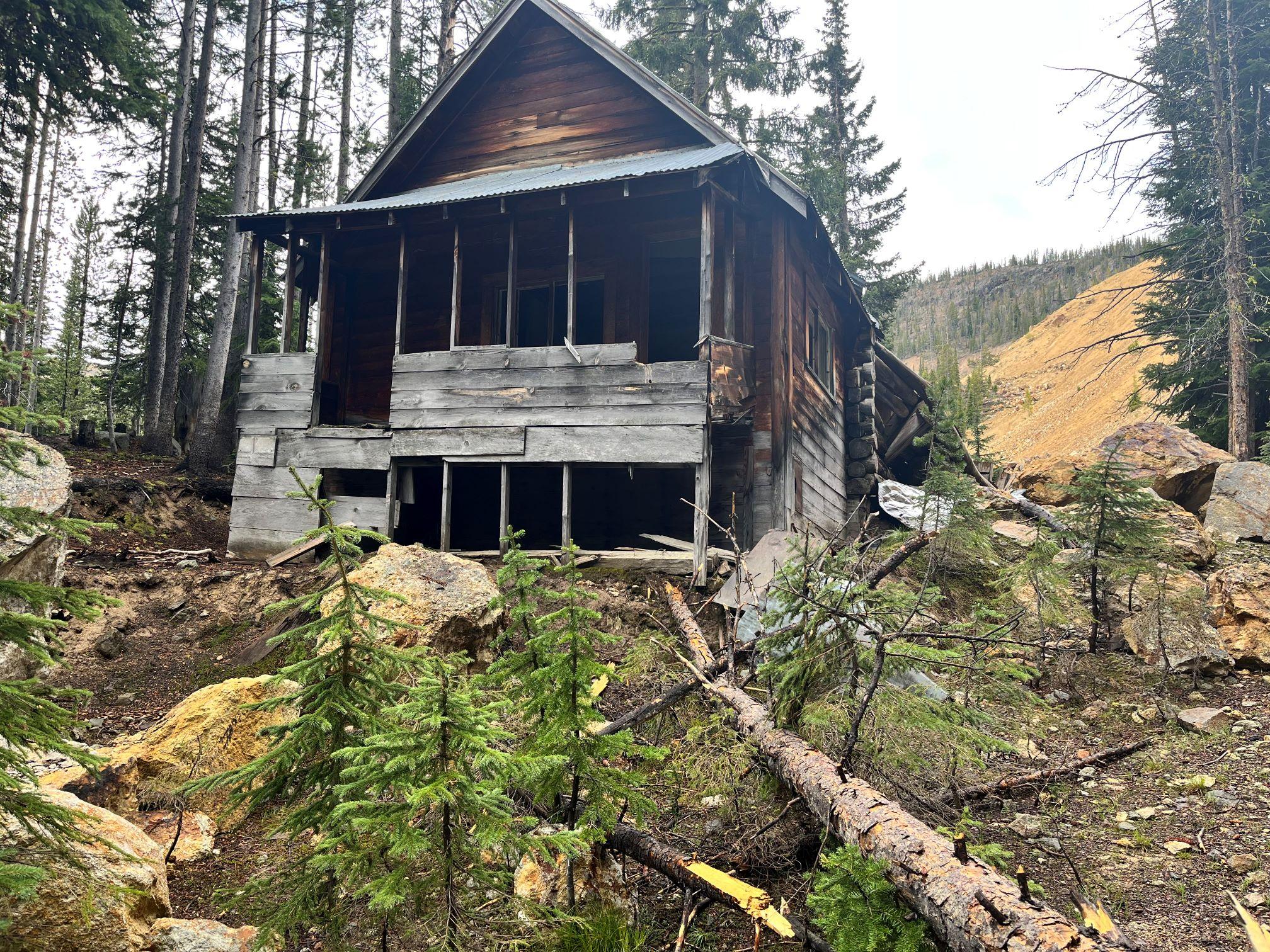
Once again the rain started just after 4pm and I found a nice camp spot along the creek. The trail reports on Marble Creek were correct, however as challenging as it was I felt engaged. My mindset completely changed after this day and it was now living in the moment. Taking on challenges as they come and from here on out my morning mantra was you have all day to hike 20 miles. Sitting in the tent writing in my journal and reflecting on the day I could hear multiple big animals crossing the creek near my tent. I got up just in time to watch five bighorn sheep strolling through my camp and up the canyon wall. What a cherry on top of a great day. Got up a little late because it had rained all night and was still coming down. Strapping on wet gear first thing in the morning is never motivating. Started up the canyon and soon realized there was one more ford (that makes a total of 31 in Marble Creek). Further up the drainage was an old timber mill site then it was a steep well defined trail that led to an old mine site then onto the Lookout Ridge Trail.

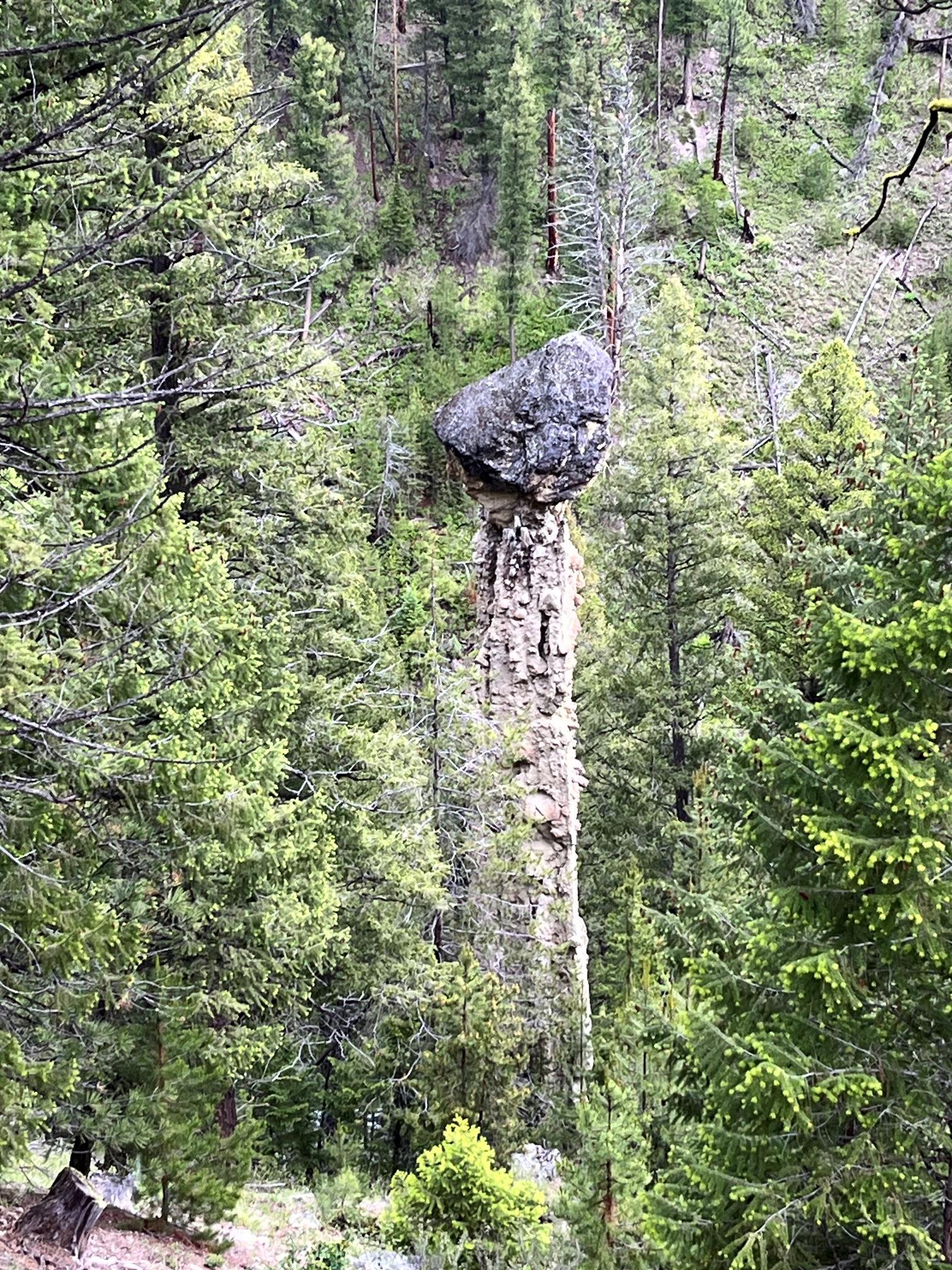
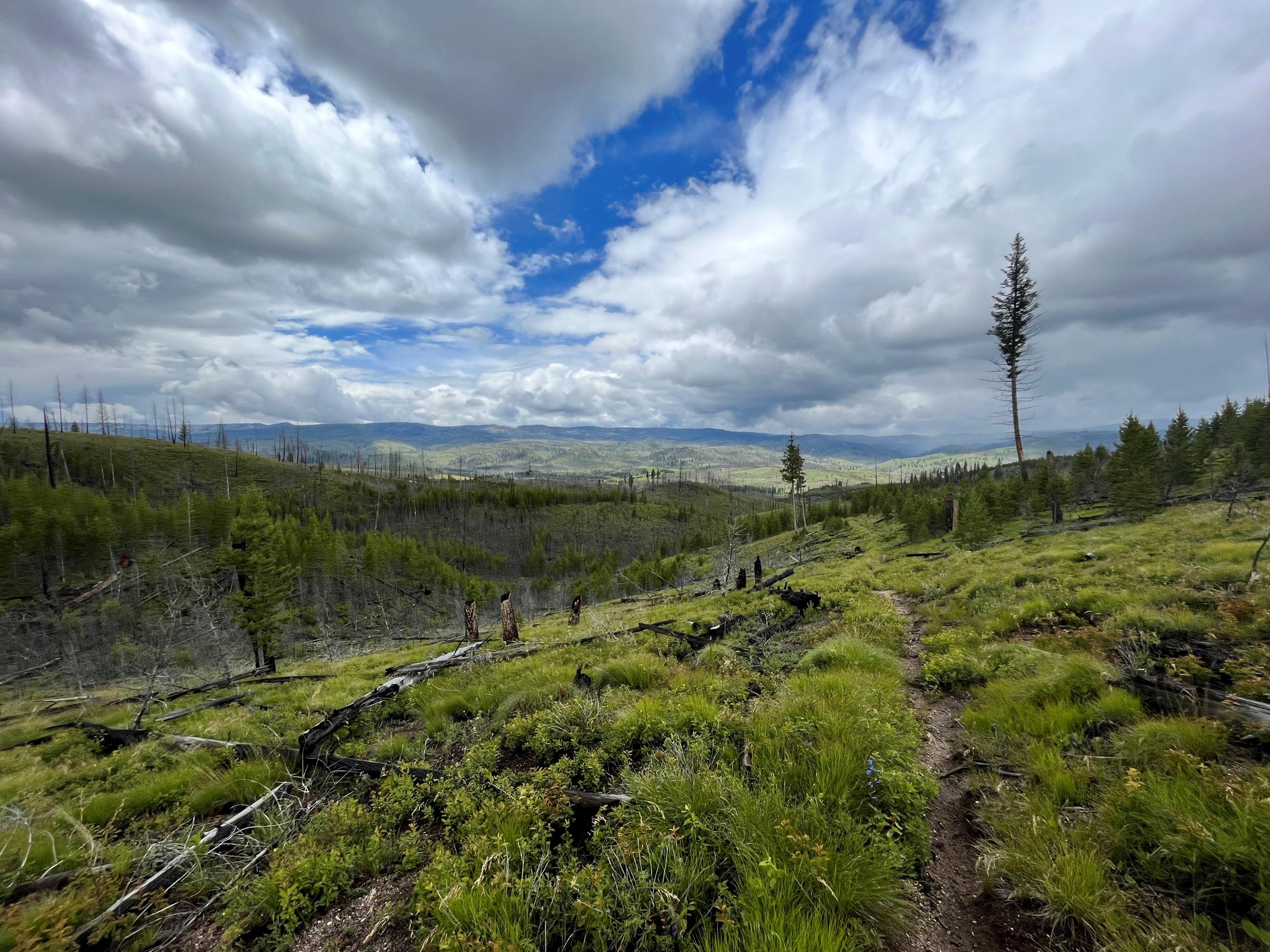
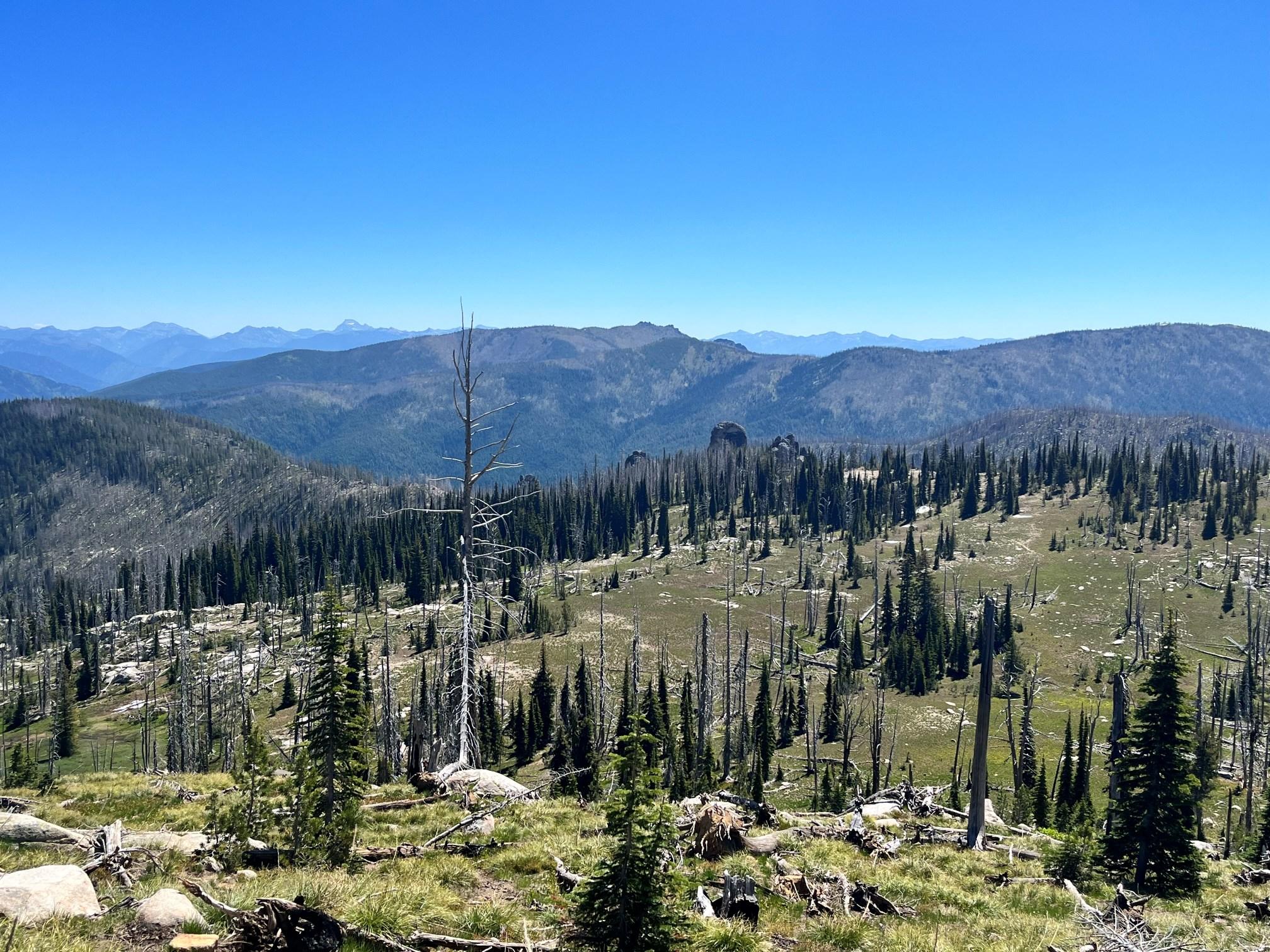
The ridge was a welcome site with the sun coming out. Lots of deadfall on my first taste of burned landscape in the Frank. Stopping on the ridge to eat lunch and unloading the pack to dry all my stuff out, I could see a black wall of death heading my direction. The storm was carpet bombing the ridge to the West with lightning and heading in the direction of the ridge trail to the North. The 8k ridge was losing its luster as a camp site and the map revealed an alternate route down into Monumental Creek. At Lookout Point small hail started dumping, then larger hail, and the deal was sealed when the hair on my arms started to stand straight up. I hauled ass down off the ridge and dove under an alpine fir when it hit. Metallic taste in my mouth, a flash, then a crash so loud it rang in my ears and shook the ground. This went on for what seemed like an eternity. When it had passed over, I found the tree it had first struck, just thirty yards away, still sizzling and smelling like a welding shop. Monumental Creek greeted me with sunshine, massive yellow pine, and loads of Tananger’s. After the ford the map listed a monument and after looking all around the area for a man made plaque I was delighted to find it was a natural formation just over the hill.

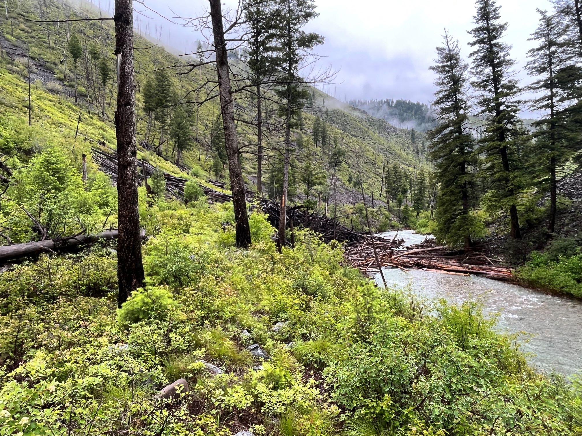
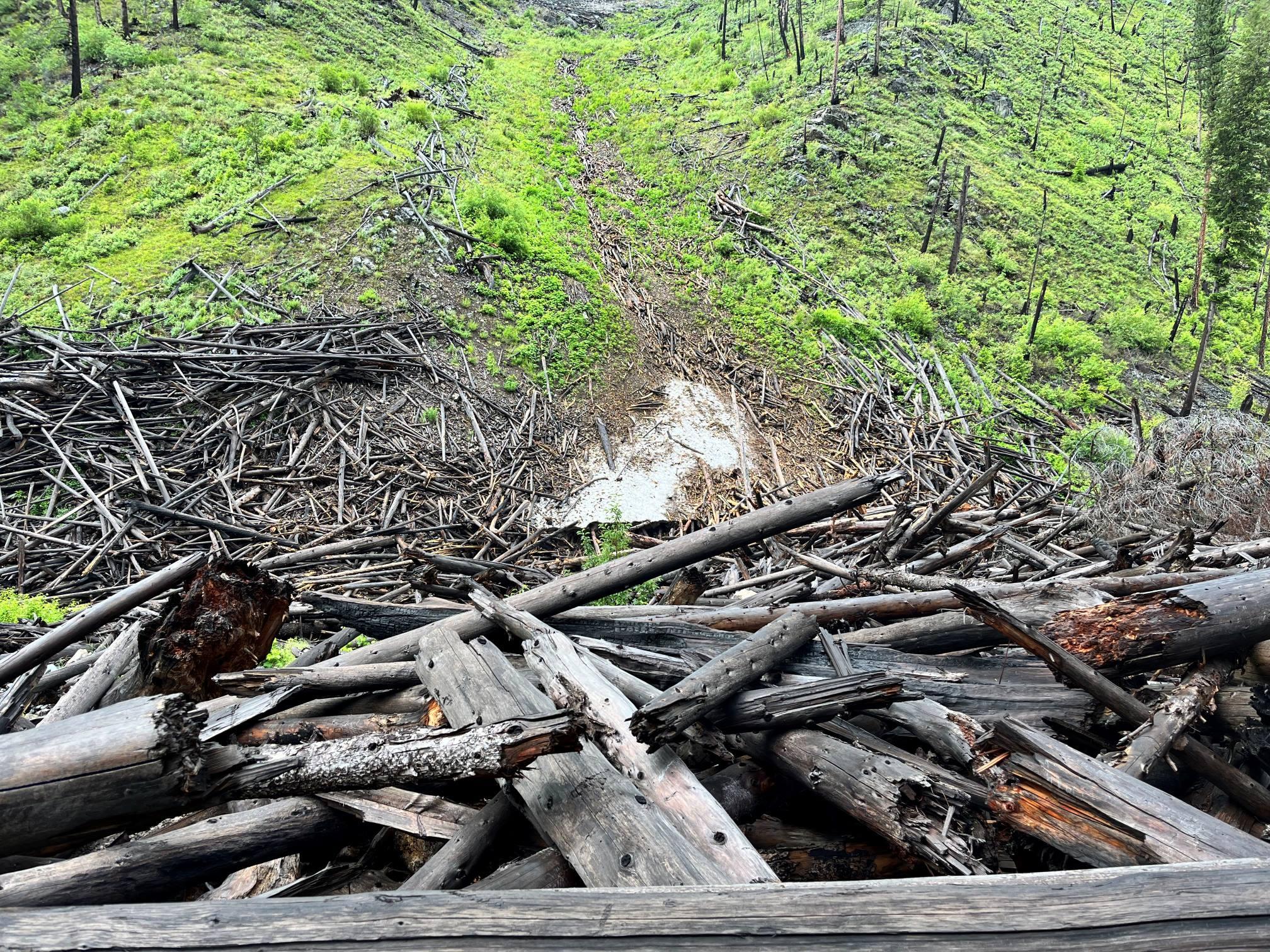
At the airstip there was a black bear paralleling my route when it decided to investigate what I was. A few “hey bears” and it was heading for the hills. The rain started again with another storm approaching as I got to the ford before my camp. This crossing looked extremely spicy with fast moving water and no ability to gauge its depths because of the glacier silt color of the water. I chose a crossing upstream that turned out to be chest deep and pushy. Finally reaching the shore on the other side I had floated/dog paddled all the way back to the original crossing. The tent was up just in time for the monsoon to start and the morrell’s from the burn on the ridge earlier were a tasty addition to the risotto. The abandoned lookout ridge got pounded all night with thunder and lightning. I slept well in my alternate location. The next day was the same old routine but with a twist. My cold wet socks now were used as a koozie for my nalgene coffee mug. This warmed my socks enough to dull the initial shock, however the downfall was the smell of dirty wet socks while enjoying my coffee. The juice was worth the squeeze. The all night monsoon rain had raised the flows of Monumental creek substantially and the next ford downstream weighed heavy on my mind. Upon reaching the ford I pulled my pack off and started preparing for the swim when I noticed the corner of an Iphone sticking out of the mud. I brushed off most of the mud and added it to my dry bag. The crossing went better than expected with a tip toe bounce to the opposite shore line. Heavy wet six foot brush, down trees, and lots of route finding kept the trail to Big creek interesting. Burned gullies had some tremendous avalanche debris deposits that had crossed the creek and pushed up the opposite bank.


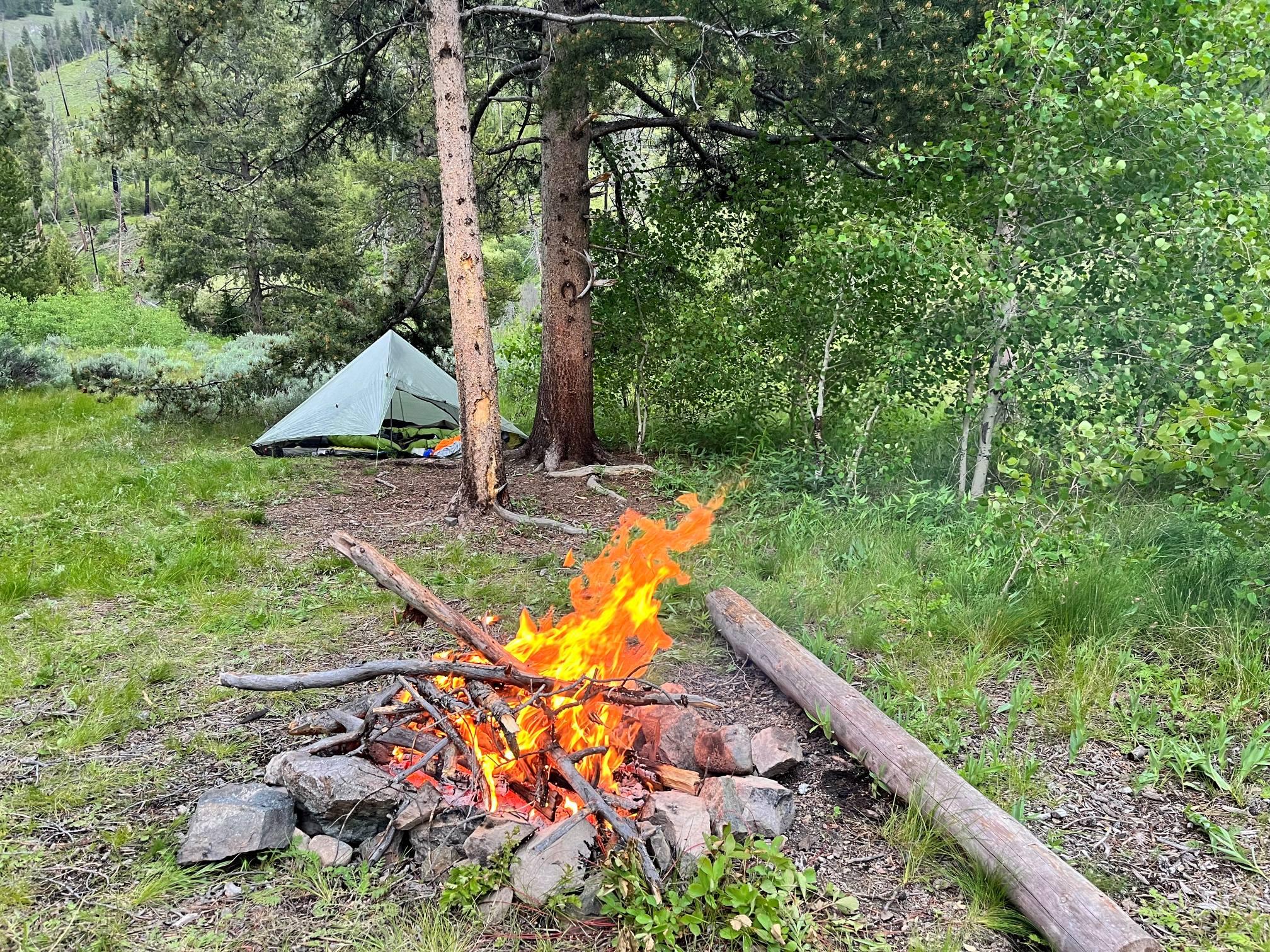
The stock bridge at the confluence of Big Creek and Monumental Creek was a nice bonus of my alternate route. Further down at the trail intersection of my original route it was clear that the storm that forced me off the ridge had saved me a massive back track. The ford at Big Creek where my original route would have led was swollen bank to bank, fast white water, big boulders, and deep holes. At Coxey Creek I came across a trail crew breaking camp and my good luck continued after learning they had cleared the trail to my next camp at Crescent Meadow. They told me a story about the reintroduction of beavers into the Frank where they fitted them with a parachute attached to a cage and then dropped them out of an airplane. They didn’t seem to have much affection for the rodents and pointed out trails that were completely under water now because of them. Once again I rolled into camp just in time for the rain to start but miraculously it quit just as the last tent stake was pounded into the ground. The first campfire of the trip felt nice and before long I had dry clothes.

My tenth day started with a herd of elk feeding in the meadow, a light steady rain and dry socks! The earlier conversation with the trail crew revealed that the route hadn’t seen trail maintenance in a really long time. With this in mind I put on my rain gear and headed for Sliver Creek. Hiking through downed trees and brush the now familiar sulfur smell of a hot spring hit my senses. Within minutes I was disrobed with a washcloth in hand to enjoy a much needed hot shower. Little did I know, my private shower wasn’t when five curious mule deer bucks appeared on the hillside above. The route climbed steadily passing lush alpine meadows. In sharp contrast the ridge had experienced a large, extremely hot burn that left a few faint charred water bars. Following these navigational beacons led me to the ridge overlooking a herd of elk feeding their way into the sunny tree line of Moose Meadows.

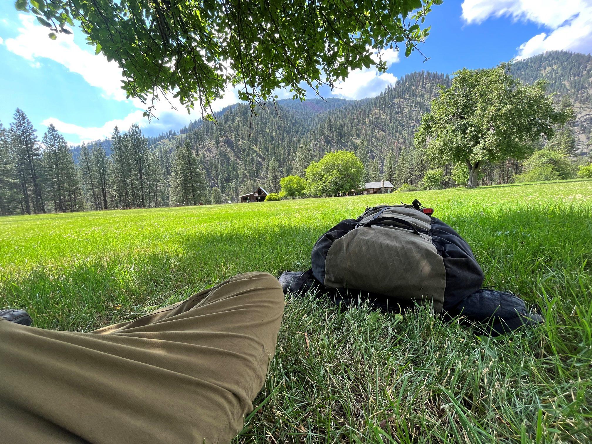
Fighting through a tangle of trees I discovered fresh ax work at the trail intersection. With lifted spirits I assumed the trail should be clear sailing to my next camp. The high water theme continued when I reached the creek in the meadows. A chest deep crossing through the bog left me humbled and soaked. A few miles before descending into Chamberlain basin I caught up to a member of the trail crew. As he focussed on swinging the polaski my mischievous nature got the best of me and I was able to creep within arms length of the worker without notice. When he turned clearly startled from my presence I uttered “jolly rancher” holding out the bag of candy toward him. As the initial shock wore off he laughed and took me up on the offer. Farther down the trail I caught the rest of the crew and assisted them with moving a root wad. In return they suggested a good campsite near the airfield and Ranger station. They had the rest of the trail to clear before their hitch was done so we agreed to meet up later that evening. Like clockwork the afternoon rain storm rolled in as I finished setting up camp. Watching the drenched trail crew heading for home it was hard to feel sorry for myself having to eat another meal in the confines of my dry tent. Later that evening the rangersI gave me the grand tour of the old two story cabin equipped with a flushing toilet and wood fired hot water. They were intrigued by my adventure and route choices because they do not see many hikers, if any in a season. As my head hit the pillow after this long day my concern returned to tommorows resupply still not knowing whether the plane had delivered it. After a restless night I put on my rain gear and started the journey. The valley was blanketed with heavy fog and cold temps that left the brush soaking wet. Once I reached the rolling alpine terrain it made for a nice pace even with the abundant deadfall. The sun was out and it was getting down right hot so I decided to eat lunch and look at the map. It revealed a four thousand foot elevation drop into Campbell’s Ferry. Given the short distance I estimated arriving at my resupply in a few hours. What seemed like a million switchbacks and four long hot hours later I finally reached Campbell’s Ferry. The new owners had emailed me with specific instructions on the location of the resupply box and had made it clear there was no camping on their property, giving me the distinct impression that catering to wayward hikers was not their first priority. To my relief, the package had arrived, and I was happy to be on my way when I heard someone calling my name. “Tom! Tom!” I heard from the distance as Megan, one of the owners, scrambled down the hill waving her arms. She and her husband, Steve, gave me a warm welcome, offered me shade under an apple tree, and were genuinely interested in hearing about my adventures.

While opening my resupply box they explained that they send more of the boxes back than are picked up. “What has been your biggest challenge so far?” they inquired. My answer “putting on cold wet socks every morning” was not what they expected and triggered eye watering belly laughs all around. They were the nicest people and were eager to share some history of their beautiful property. During our conversation a rather overweight blue heeler came marching down the hill. They warned me that she usually doesn’t like strangers and much to their surprise she flopped down right next to me. The dog let out a low growl when Megan called her to go and reached for her collar. Without a doubt I had made a few new friends at Campbell’s Ferry. As I crossed the bridge overlooking the Salmon River it was clear that nothing is as it seems in the Frank Church and preconceptions should be taken at face value. To my delight the next morning began with dry socks, mild temps, and a picture perfect river trail. It was odd to be hiking in the wilderness and encounter private properties, airstrips, jet boats, and an oddly placed Willy’s Jeep. Earlier I had made the decision to leave the river early at Barmagin Creek instead of going up Rattlesnake/Sheep Hill. At the trail junction some rafters breaking camp explained that they tried to day hike up the Barmagin trail the day before and found it to be too brushy. I took their information with a grain of salt and headed up. The creek was big with lots of white water rushing over big boulders in a beautiful rocky canyon.

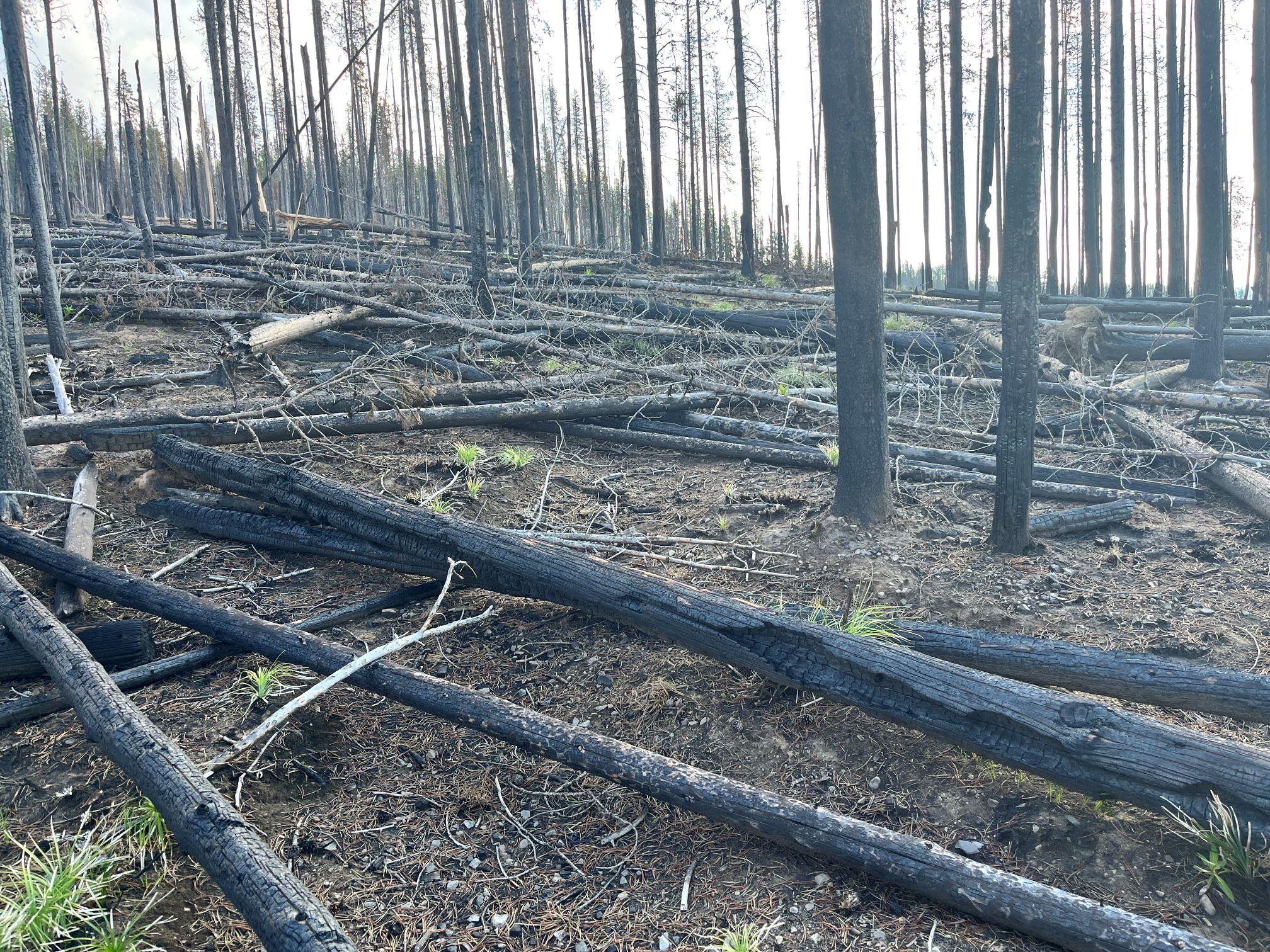
This route is not used often judging from the seven foot wall of vegetation cloaking any sign of a trail. Barmagin threw everything the Frank Church had to offer at me almost like a final test. On a positive note there were monarch butterflies and Tanangers everywhere. The log parkour olympics zapped my energy and I found myself in a strange pattern of bonking then eating then bonking an hour later. My predetermined camp location turned out to be in a large burn so I pushed on. Now the goal was to make it to Poet Creek campground on the Magruder Road. Ten feet from the trailhead there it was, the last deadfall spruce. Magically a Tanager landed on it, almost saying goodbye and hope you enjoyed the Frank Church. I rolled through the campground having spent the last 15 hours navigating over or under 231 trees, covered 30 miles, and climbed over five thousand feet of elevation. The campground was full so the tent was set 4up next to the outhouse and was asleep before my head hit the pillow. I woke up anticipating an easy 4 mile trail that led me to the Elk mountain road. Unfortunately It took three and a half hours to navigate through the deadfall strewn burn.

The temps were hot by the time I hit the road and it was pure luck to find a small seep to fill all my containers. The road walk was a real slog and at the trailhead I decided to unload my pack, dry everything in the sun, and call it a day. It felt good to organize everything but, when I took stock of my food supply something didn’t add up. My food bag only had five thousand calories left to make the three day journey to Wilderness Gateway. It was time to pull out the map and start looking at options. The best option was to go down the Selway River and exit at Race Creek Trailhead. I sent my wife an inreach message with the new pick up location and went to bed early. The day started with losing the trailI right off the bat and little did I know this was a sign of things to come. Once back on the trail it was a nice subalpine cruiser with little to no blowdowns.

This all changed near the trail cutoff to Grave Meadow and the first of many hellscape burn areas of the day. Losing the trail for hours I finally reached Grave Meadows where the map had listed a grave site. After searching the area and not finding anything, I pushed on towards Indian Park. With almost no sign of trail and blowdowns as far as the eye could see I settled into my familiar mindset of take it as it comes. Indian Park was a beautiful high grassy meadow filled with wildflowers, and once again, no sign of a trail so straight up to the ridge I went.

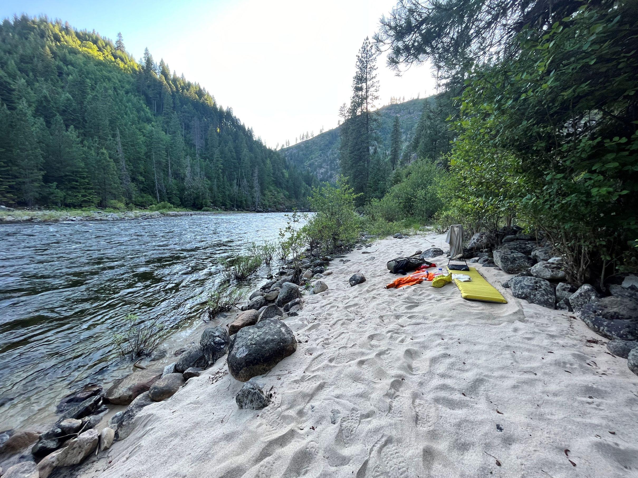
The trail appeared off and on at the top of the ridge along with lots of blowdowns. Found the trail near Mink Peak that led me down into an old hunting camp then no sign of the trail anywhere. I pulled the map out and it turns out the trail I needed stayed on the ridge so instead of backtracking I pointed straight up and found the trail at the top. After stopping for lunch my five thousand calories were now half gone. The route dropping into the Selway was the worst burn deadfall thus far. It was more efficient to go straight down instead of trying to locate the switchback trail. The weather was hot and when I reached the bridge crossing the Selway my pack and clothes were off and I jumped into the river to cool off. I spent the evening cowboy camping and enjoying the last of my calories on a sandy beach next to the river.

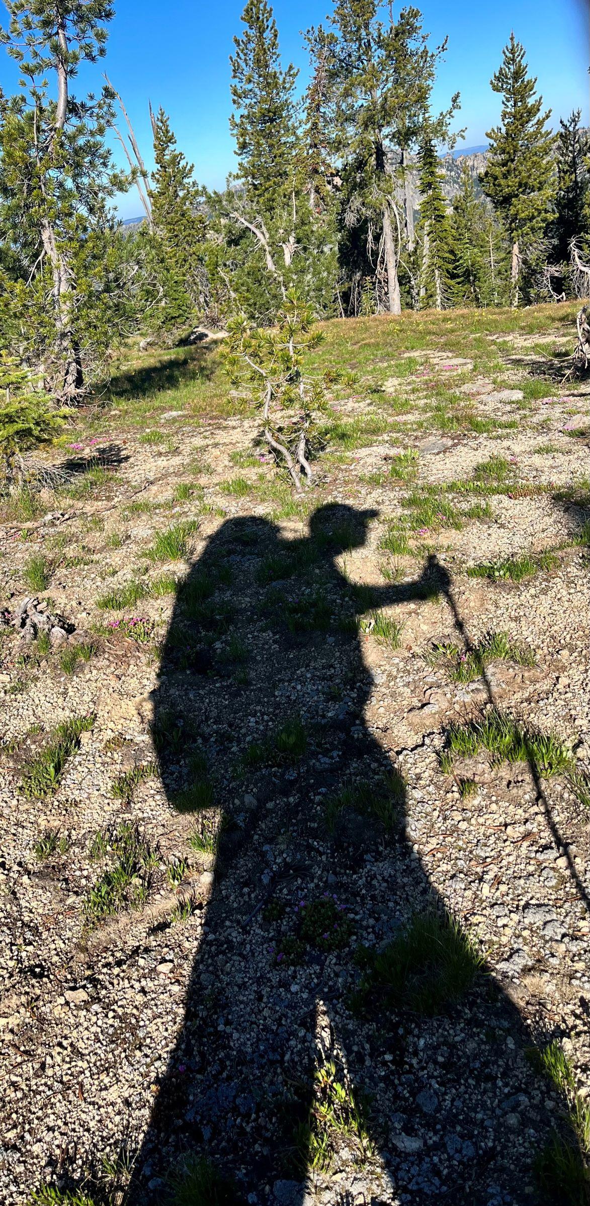
Hiking the scenic river trail to the finish it dawned on me that I had traveled solo 350 miles in 16 days without coming into contact with another backpacker. Once home I had time to reflect on how special it was to live in the present tense for that many days. Reluctantly I also stepped on the scale to reveal a twelve pound weight loss and anyone who knows me I don’t have twelve to give. Writing this trip report from my journal brought back a lot of emotions and observations that were hopefully conveyed. The Frank Church really captured my heart and I plan to make an annual big trip there every year.
 Aug 2, 2023 at 6:26 pm #3786133
Wow! Wonderful write up of an amazing trip. You’re far more comfortable and capable in fairly extreme circumstances than me–but I have trouble following a map off-trail for more than several miles. And the stream crossings! Yikes!
Kudos!
Aug 2, 2023 at 7:33 pm #3786135Very intriguing ramble. Nice gear for traveling…
Aug 3, 2023 at 9:18 am #3786149Jscott,
Thank you. All the years of traveling through the Bob in early spring runoff and participating in the Bob Open have honed my fording skills. That being said the crossing at monumental creek was terrifying.
Aug 3, 2023 at 9:22 am #3786151Glen,
Thank you. The SWD big wild 70 wasn’t the lightest in my gear closet, but by leaps and bounds the most comfortable.
Aug 3, 2023 at 6:19 pm #3786185Nicely done Sir! You told me you were looking for something on the challenging side and it looks you found it in spades :)
Glad the resupplies worked out, was a little nervous about those. The hot springs sound wonderful, the blowdown- not so much.
Thanks for a great trip report and pics!
Aug 4, 2023 at 7:02 am #3786198Awesome is not too big a word to use! Thank you for the write up!
Aug 4, 2023 at 7:45 am #3786199Impressive trip and report, thanks for posting. I’m not sure I can remember reading a trip report previously that described so much swimming. :-)
Aug 4, 2023 at 9:21 pm #3786254Mike,
This one filled up my adventure tank for a while.
Alex and Dan,
Thank you both for taking the time to read it. The spicey fords initially weren’t on my radar until I corresponded with Melanie.
I just learned that the area east of Campbells Ferry burned this week in a hellish firestorm called the Elkhorn fire. It made a 20,000 acre run in one day. Luckily Campbells Ferry was saved because some properties I just hiked past on my trip were not.
https://inciweb.nwcg.gov/incident-information/idpaf-elkhorn-fire
Aug 5, 2023 at 8:43 am #3786259Great trip! Could the dog have done all the swift water in retrospect?
Aug 5, 2023 at 12:23 pm #3786264Nunatak,
Thanks. I really wanted to take her but we are working on breaking her squirrel chasing obsession. The same wound she suffered in the bob would have been deadly in the Frank. As far as the crossings she would have been able to swim with her pfd on. It’s not much of a weight penalty and she probably would have worn it a third of the trip anyway.
Aug 5, 2023 at 3:09 pm #3786268Got it. Good luck w that!
With a loud command I’ve gotten mine to drop the chase – but like self arrest the sooner the better, lol
Aug 5, 2023 at 6:51 pm #3786279Haha I agree. Mine thinks she’s a D8 dozer when in hot pursuit.
Aug 6, 2023 at 8:56 am #3786289Great report. I returned last night from a trip a little south of yours. I spent six days with some boys scouts hiking through the Cecil D. Andrus White Clouds Wilderness Area. Then a rafting trip that was interrupted by the Elkhorn fire. We were supposed to put in on the Salmon River near the Middlefork when they shut it down. We had to take a ten hour drive around the Frank to get to the lower Salmon. A joke on the trip was how many times the rafting guides said the Frank is the largest wilderness area in the lower 48.
Aug 6, 2023 at 12:52 pm #3786298Great writing Tom thanks for sharing. I’ve never been to Idaho, never mind the Centennial Trail but reading this report took me along on the adventure.
Aug 6, 2023 at 2:37 pm #3786303Thanks Bob,
I always find it funny that people have to discount Alaska to make things sound bigger. Where did you put back in on the salmon?
Aug 6, 2023 at 3:24 pm #3786309Wasn’t sure how to post a video so here goes….
Aug 7, 2023 at 12:02 am #3786317A little south of Riggins. I believe we ended up at the same spot we were supposed to take out about 40 miles north of Riggins. Our trip was cut in half.
We had to drive from near Salmon to Lolo and then took the 12 around to the west side of Idaho then down to south of Riggins. Fun 10 hour day in the van.
-
AuthorPosts
- You must be logged in to reply to this topic.
Forum Posting
A Membership is required to post in the forums. Login or become a member to post in the member forums!
Our Community Posts are Moderated
Backpacking Light community posts are moderated and here to foster helpful and positive discussions about lightweight backpacking. Please be mindful of our values and boundaries and review our Community Guidelines prior to posting.
Get the Newsletter
Gear Research & Discovery Tools
- Browse our curated Gear Shop
- See the latest Gear Deals and Sales
- Our Recommendations
- Search for Gear on Sale with the Gear Finder
- Used Gear Swap
- Member Gear Reviews and BPL Gear Review Articles
- Browse by Gear Type or Brand.

