Topic
Scapegoat/Flint traverse Bob Marshall
Forum Posting
A Membership is required to post in the forums. Login or become a member to post in the member forums!
Home › Forums › Campfire › Member Trip Reports › Scapegoat/Flint traverse Bob Marshall
- This topic has 4 replies, 4 voices, and was last updated 4 years, 3 months ago by
 Josh J.
-
AuthorPosts
-
Jul 27, 2020 at 5:15 pm #3666736
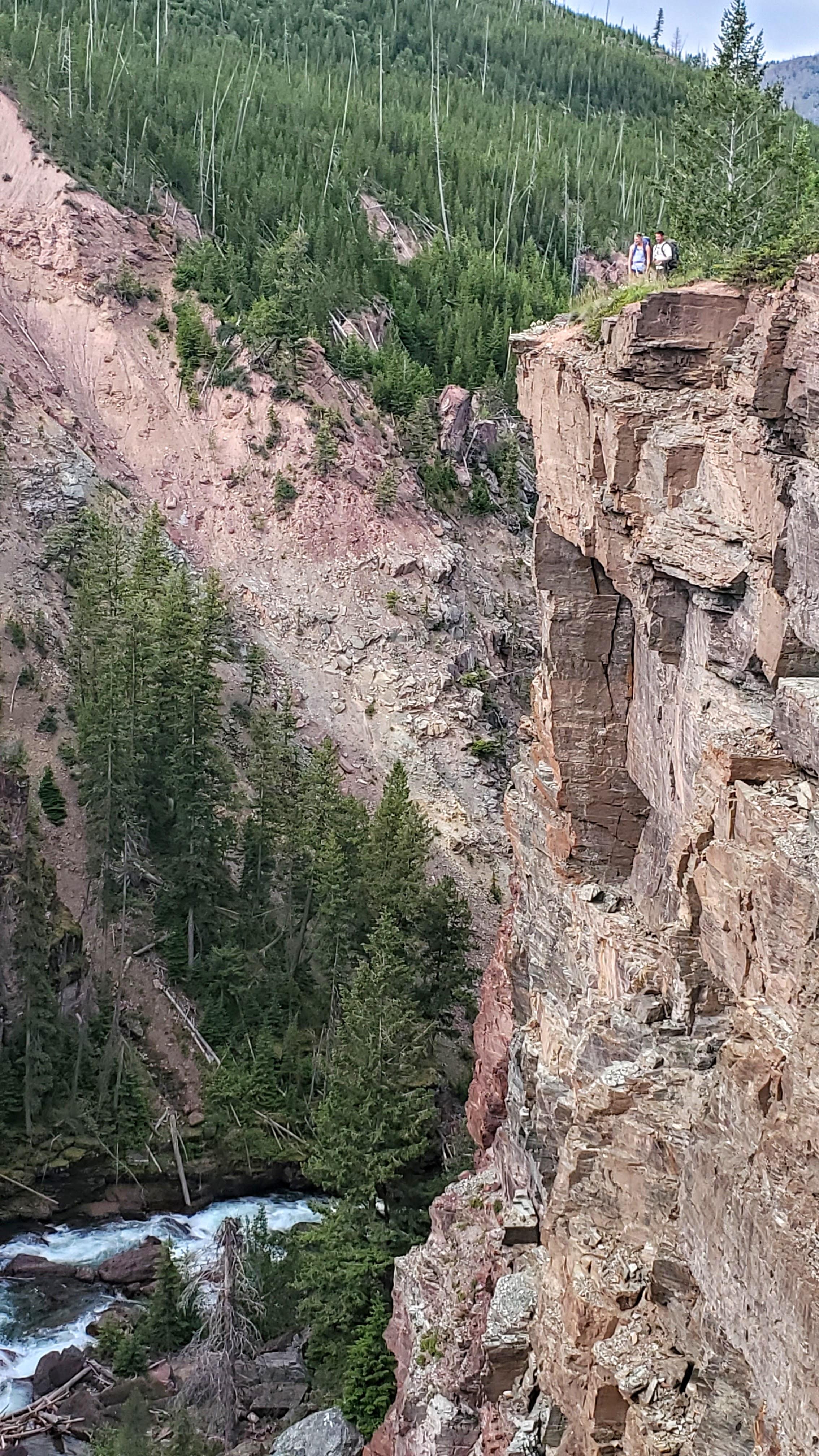
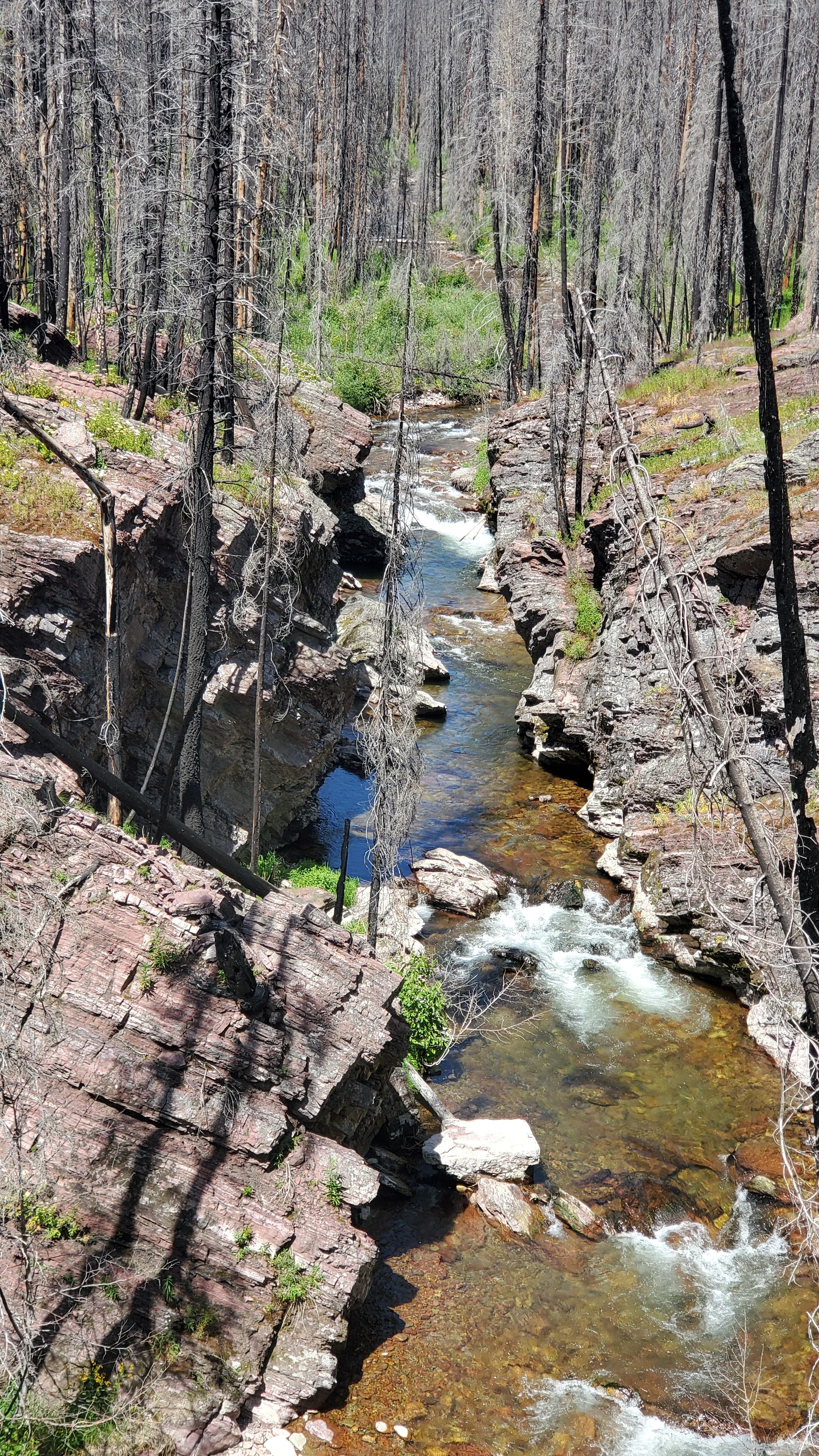
This trip can be done in a few different combinations. This year we decided to leave a vehicle at the Monture Trailhead and shuttle to the North Fork of the Blackfoot Trailhead. This is the beginning of the Hobnail Tom trail #32. Take a few moments to read the information board on some of the history of the trail. This trail sees its fair share of all different types of trail people up until you get to the North fork patrol cabin. At this point stay on the Hobnail tom trail #32 and at about a mile past the cabin take the spur trail labeled North fork falls. The canyon and waterfall it holds are an impressive display of the power of water.

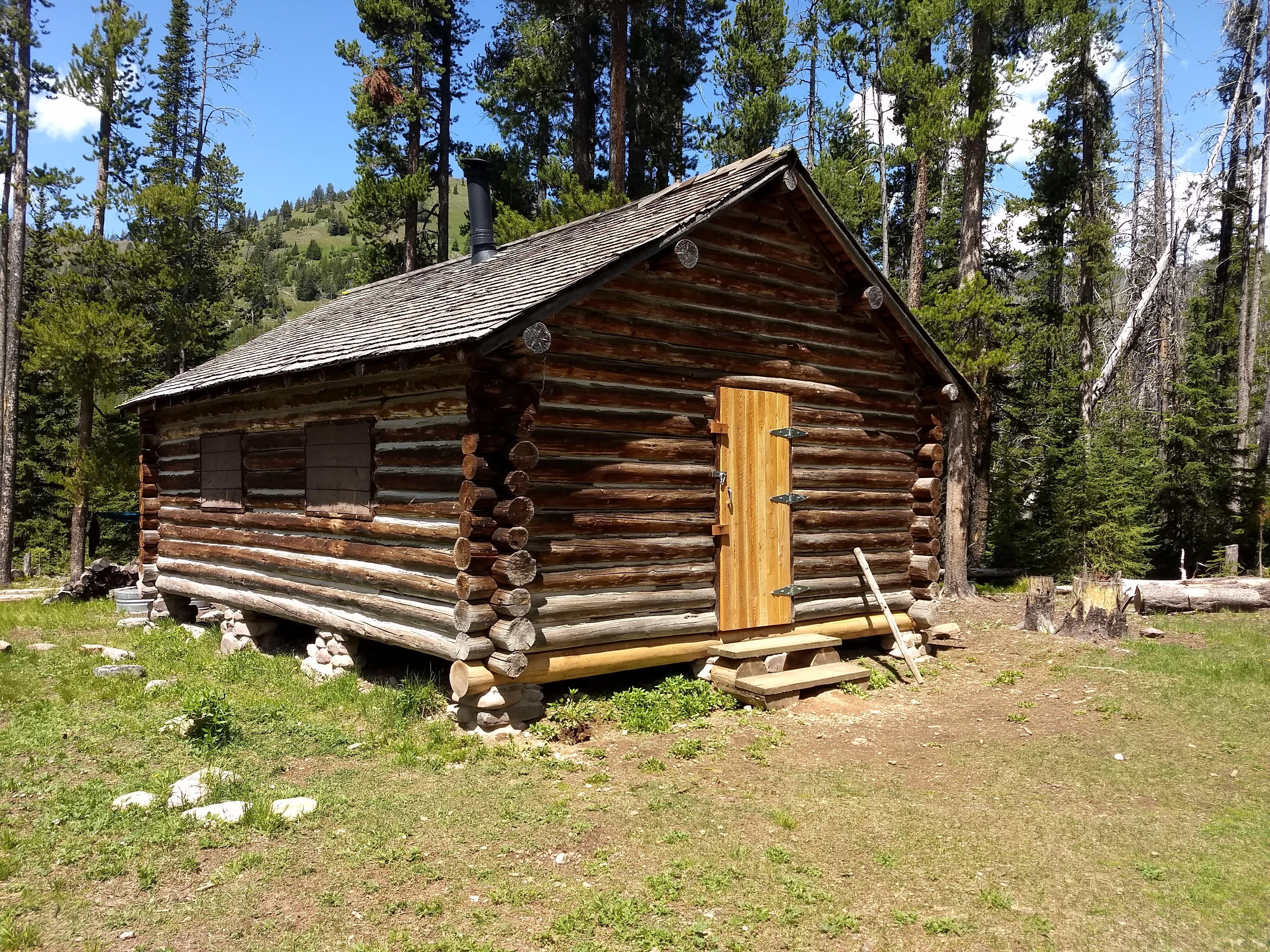
Once back onto Trail 32 you will find a superb trail grade and views of the upper North Fork river. After roughly 7 miles you reach the Carmichael patrol cabin. We made this our lunch destination. From the outside the cabin doesn’t look like much however as anything looks can be deceiving. The cabin was built in 1921 by the famous Carmichael sheep co. out of Choteau Montana. In its hay day a single herder and 2-3 dogs would tend flocks of up to 1100 sheep each. The cabin was constructed as a resupply station for the massive flocks that were working the surrounding area called MacDonnell meadows today. These high meadows can be seen as you approach the cabin due east of its location. A few of the creeks in the area are named after the herders including Broadus, Theodore, and Dobrota. After the James Carmichael died in 1944 the special use permit expired and the forest service was the new owner of the cabin. Howard Copenhaven and Tom Edwards of Whitetail Ranch Outfitters were granted a special use permit for the cabin up until the late 60’s. Supposedly the interior of the main door is riddled with carved names of clients of the outfitters. Restoration of the cabin started in 2015 by the Seeley lake ranger district. On the through hike in 2017 I had the privilege of meeting the young men doing the restoration.

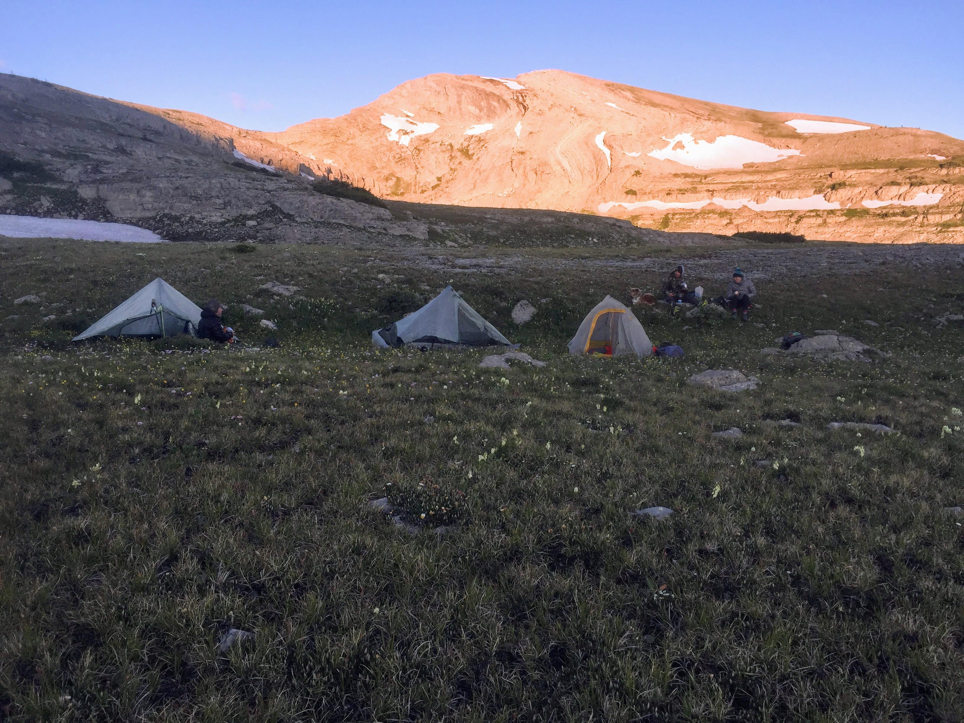
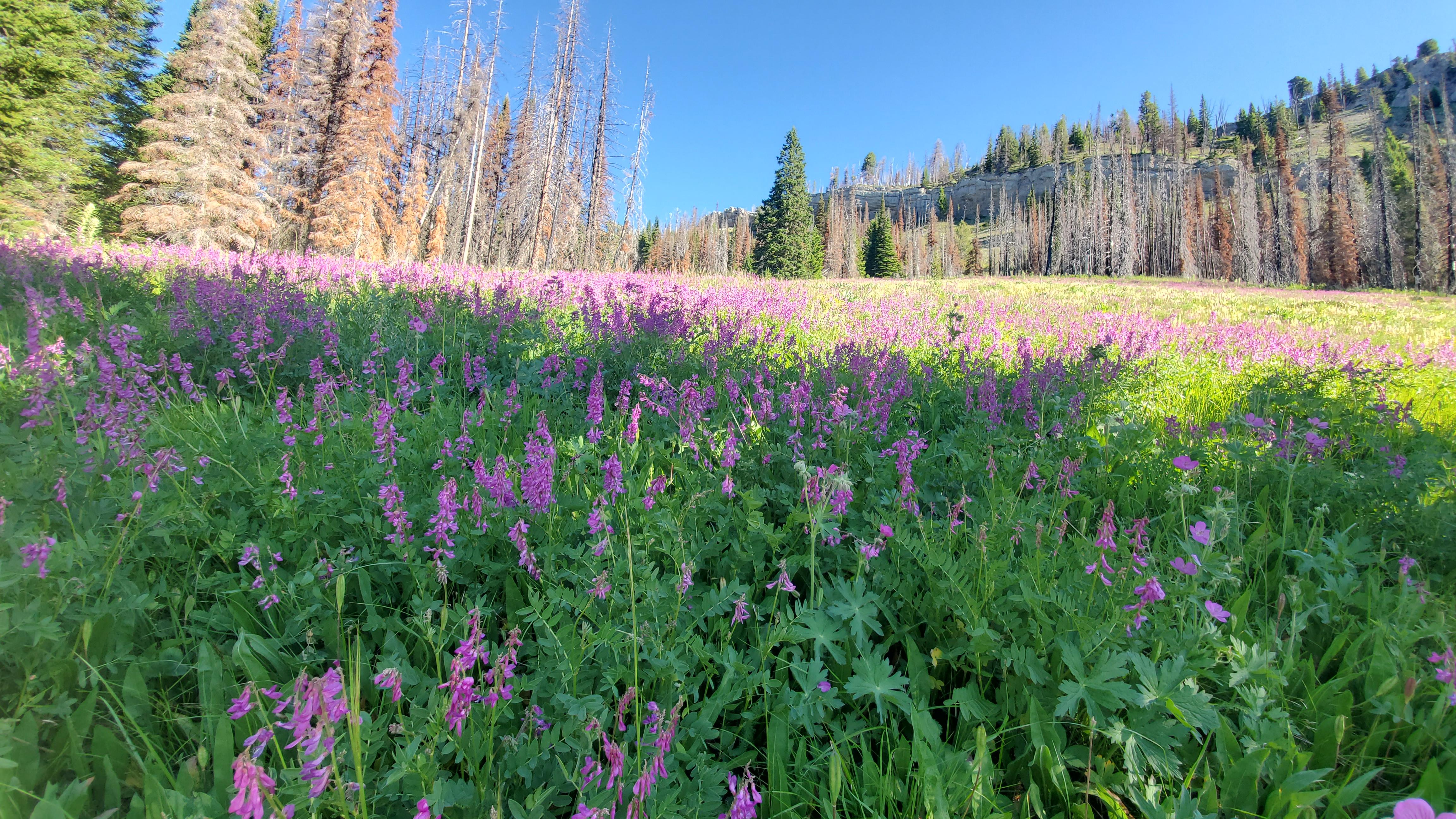
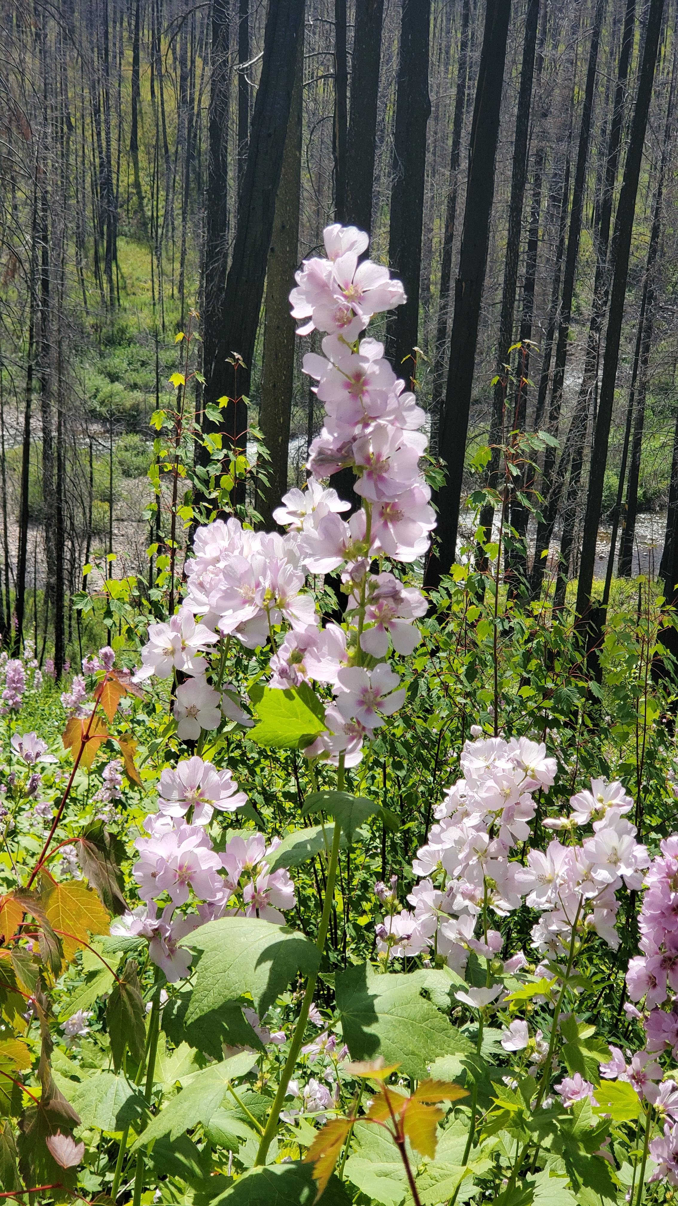
Staying on Trail #32 leads you into the drainage of Debrota creek. If timed right as we did the wildflowers will be in full bloom and with plenty of small meadows around every bend is a refreshing change of pace. At this point you will also get the first looks at the scapegoat massif. The trail will cross Debrota for the last time and it’s a good opportunity to water up before the steep climb up to the plateau. You will leave the trail not far from the last crossing and approach a seasonal drainage. Stay right of the drainage to catch a game trail that leads to the plateau. We made our first camp near seasonal snow and in a bit of a gully. 21 miles completed day 1.


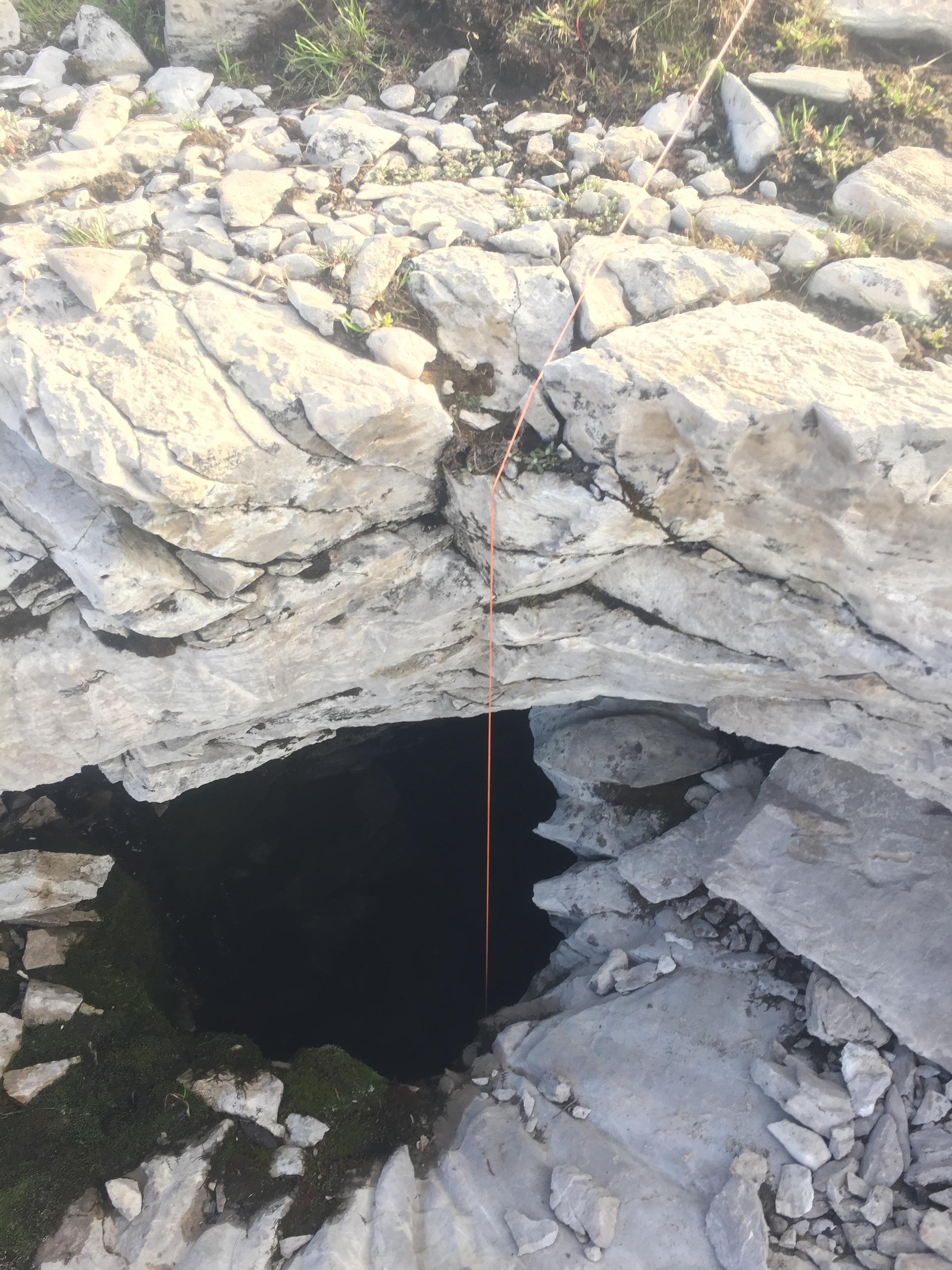
Bear hangs are nearly impossible so we use one of the many sink holes found atop to stash our food bags.

The next day we were up and moving early to climb Scapegoat mountain. This will be a yoyo so we left our tents and gear at camp. The climb is a series of shelfs and easy travel. Upon reaching the last shelf I could hear rocks being dislodged and I was excited to possibly see some sheep. With my eyes up scanning to see where the noise was coming from something lower and at 40 yards caught my eye. The massive hind end of one of the biggest boar Grizzlies I had ever seen. I started to back pedal slowly when he must have winded me. His head whipped around and we locked eyes for a second. I pulled my bear spray and looked down being careful not to make eye contact when Mike popped up onto the shelf. The bear took off making the last climb in seconds flat. We did the usual conversation “did you see the size of him!” and continued up to the summit. We enjoyed the 360 degree views from nine thousand feet and for me a big sense of accomplishment. I had spent 5 weeks prior to the trip battling a debilitating cause of vertigo. Not being able to walk without hanging onto someone or something made this climb really special.
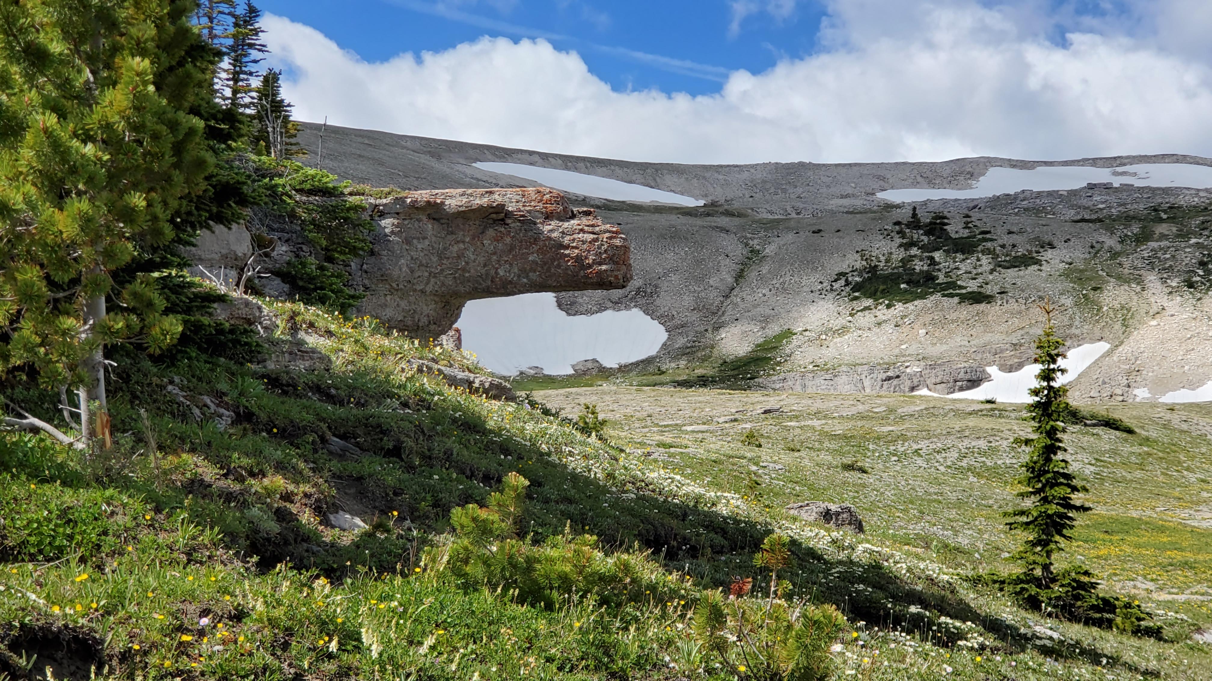
We descended to our camp, packed everything up, and headed North West across the plateau. Travel on the plateau you will find many sink holes that are part of a vast cave system within the massif. As of today most of these caves have only been traveled by a few individuals and some maybe not at all. If you find dog rock pictured below be sure to scratch him under the chin for good luck.

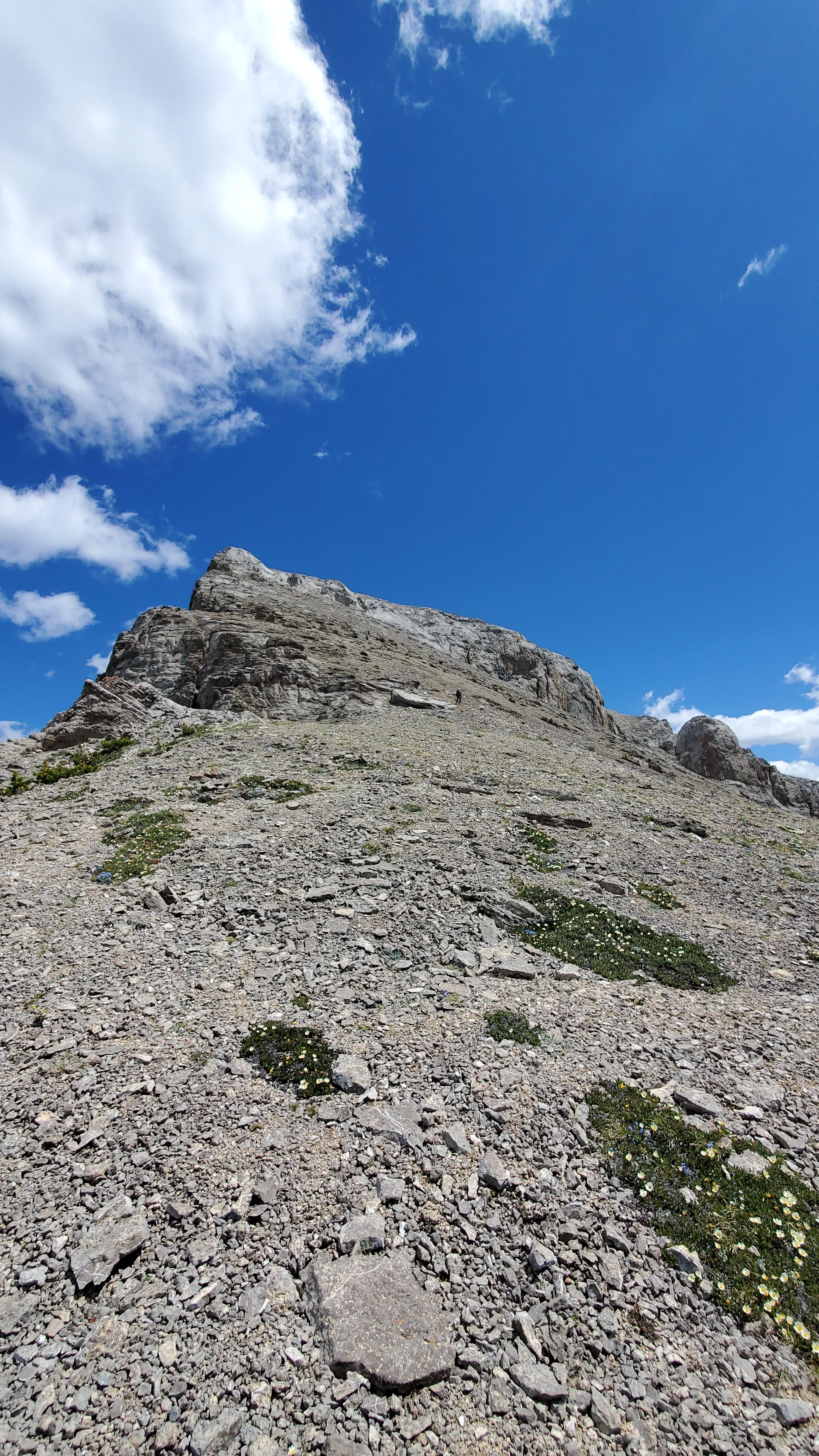
The plateau has lots of water from hold over snow melt and once you reach the basin at the southern flank of flint be sure to fill up at one of the drainages because the next water is way down on Bar creek. Look for the break in the cliff bands and a seasonal drainage to find a game trail that leads to the ramp (as seen in above photo) leading up to the summit of Flint. Once we reached the summit the view is outstanding. To the west is the Danaher Valley, North is the valley of the south fork of the sun, East is Green Fork, and south if the rugged mountains above dry fork. Leaving the peak south west take the rock shoot holding a few class 3 moves that leads to the scree field. Be extremely careful on this scree slope as it houses areas of scree on top of slab rock.

Once the saddle is reached walk just above the scrub trees and then down to find the game trail to a shoot holding snow. Climb the shoot and it leads out to another scree field down to scrub timber and old burn. From here you can either climb elevation to view flint from observation point and triple divide or maintain elevation to intercept the trail #140. Pay close attention because at this elevation the trail is barely visible. The trail #140 down Bar creek has the distinction verified by the trail crew we met on this trip as the steepest in the Bob Marshal complex. Along with the steep grade, s turns not switchbacks, lots of snags from recent fire and not much traffic makes for a long dissent into the Danaher valley. We then traveled south on Trail #126 to the intersection of trail #143 where there is a nice camp after the creek crossing. After a 21 mile day of alpine traverse, a steep descent, and some log hopping camp was a welcome site. At this point if no other vehicle was available one could continue traveling over dry fork divide to the North fork patrol cabin then retrace your route back on trail #32.

Our third day began with clear and cold conditions on trail #143. The grade of the trail makes for an easy assent. The lower half of the trail is engulfed in trees and not much water. The upper half opens up for views of Apex mountain, Pinnacle peak, and lots of wildflowers. Pinnacle pass comes without fanfare and before you know it you are descending into the east fork on Trail #42 and leaving the wilderness behind. We decided to make the Burnt patrol cabin our lunch spot. The remainder of our travels down trail #27 took us through the remnants of the 2017 Rice Ridge fire. Monture creek flows through some impressive canyons who some hardy pack rafters dare to float. The devastation of the fire shows new growth and some old guard larch survived to seed the next generation of trees.


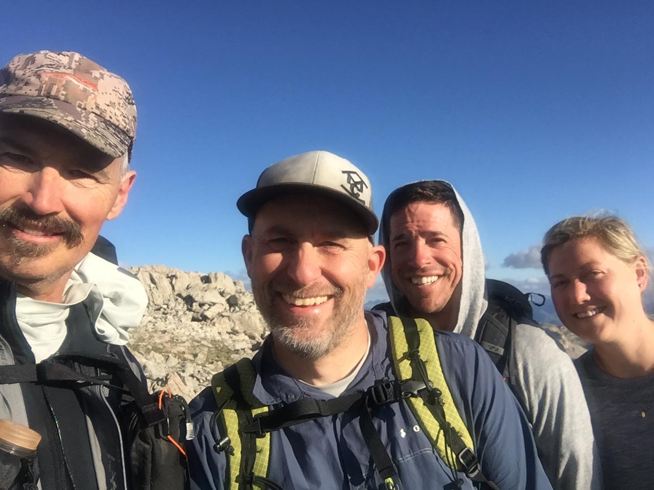
Before we knew it the trip was completed reaching the Monture trail head. I would like to thank Mike, Joel, Megan, and Sage the dog for traveling along.
 Jul 27, 2020 at 7:12 pm #3666754
Well done Sir.
I’ve traveled a lot of the Bob Complex having been a Wilderness Ranger in the Middle Fork of the Flathead for two years and more recently participated in six consecutive Bob Marshall Opens, which obviously has given ample opportunity to see lots (and lots) of spectacular country. I will say that the Scapegoat Plateau ranks up with the very best the Bob has to offer (which is saying a lot!) AND the odds of bumping into anyone on this off trail route is next to nil.
I will say that some of Tom’s descriptors on the descent of Flint didn’t quite jive with mine. He told us (not beforehand, but as we were about to descend) that it was “spicy”, but not “saucy”. When Joel, Megan (and Sage) and I finally got to terra firma, we said in unison, “definitely saucy” :)
It was a great trip and the beauty of the Scapegoat Plateau is you can skin it probably a dozen different ways, but regardless- well worth the effort!


 Jul 28, 2020 at 9:12 am #3667030
Thanks Mike. Your right defiantly “saucy” Hahaha!!
Jul 28, 2020 at 10:10 am #3667034Good stuff! Love the sinkhole bear hang…
Jul 28, 2020 at 6:35 pm #3667105You Montana boys have all the fun!
-
AuthorPosts
- You must be logged in to reply to this topic.
Forum Posting
A Membership is required to post in the forums. Login or become a member to post in the member forums!
Our Community Posts are Moderated
Backpacking Light community posts are moderated and here to foster helpful and positive discussions about lightweight backpacking. Please be mindful of our values and boundaries and review our Community Guidelines prior to posting.
Get the Newsletter
Gear Research & Discovery Tools
- Browse our curated Gear Shop
- See the latest Gear Deals and Sales
- Our Recommendations
- Search for Gear on Sale with the Gear Finder
- Used Gear Swap
- Member Gear Reviews and BPL Gear Review Articles
- Browse by Gear Type or Brand.

