Topic
north lake, south lake, and carol col
Forum Posting
A Membership is required to post in the forums. Login or become a member to post in the member forums!
Home › Forums › Campfire › Member Trip Reports › north lake, south lake, and carol col
- This topic has 13 replies, 5 voices, and was last updated 8 years, 4 months ago by
 ben ..
-
AuthorPosts
-
Oct 9, 2016 at 8:56 am #3430161
here’s the obligatory uneditable first post. actual words to follow below. maybe even pictures if the forum software allows!
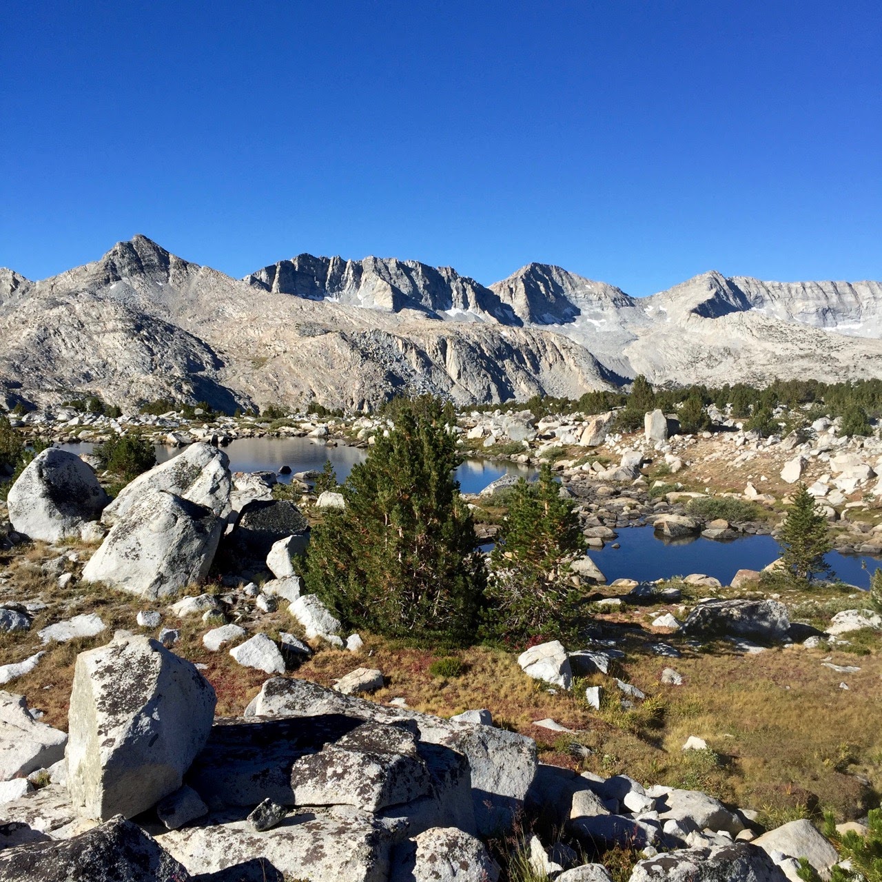
Oct 9, 2016 at 9:15 am #3430164i thought it might be interesting to share a trip report of my sierra trip last month. in the midst of the lovely, well known, and otherwise trail-bound north lake/south lake loop, i took my first (successful) off trail excursion. i imagine there are a lot of people here that like the idea of leaving the confines of the trail but aren’t sure where to start. at least that was my question, and this was my answer.
as a new yorker, most of my friends are city people who wouldn’t spend a night in the woods if you paid them in free metrocards. my wife has been my only backpacking partner. but as of four months ago, she’s also the mother of our lil daughter. despite this amazing, new, and time-consuming addition, she understands my mountain obsession and agreed to let me slink off for a week while she visited her parents in the bay area.
this meant either hiking alone or with people i didn’t really know. i’ve done some solo backpacking and don’t enjoy it as much as traveling with a friend. in addition, wifey wasn’t super keen that i go solo (though i did rent a delorme inreach to stay in touch with her and baby).
it was under these conditions that i found myself early in the morning of september 1 getting into a car with two of my wife’s san francisco friends that i had never met before, had never been on a backpacking trip of this length, nor spent time at sierra-like altitude. hey what could possibly go wrong?!
day -1 and 0
it turns out that absolutely nothing could go wrong. my companions and i hit it off like old friends from the jump. they were in great physical shape for the mountains. and the north lake / south lake loop did not disappoint.
traffic was bad getting out of town, and with a couple of stops it took us a full 8 hours to get to the bishop ranger station. this was my first time over 120, though, so i wasn’t complaining.
stan kot, the permitting ranger, was a character. his extreme enthusiasm must be well known to some of you, no? when we laughed at his antics, his fellow ranger told us to stop, as it would only encourage him more.
we picked up heaps of rotisserie chicken at one of the schat’s places (the secret ingredient is salt) and headed up. we were prepared to stop at one of the earlier campgrounds but figured we’d give north lake a shot first. to our surprise, at 5 PM on the thursday before labor day, the campground was half full, and we had our run of the place.

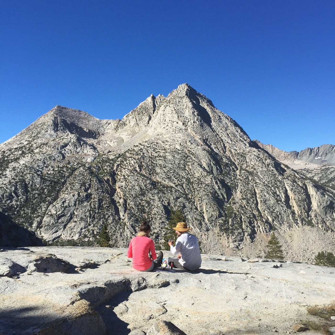
we stayed for two nights, adjusting to altitude (the campground is at 9300 ft), dealing with the south lake hitch, and dayhiking to lower lamarck lake. we were huffing and puffing on the way up, but the sight of the huge lake – windless at noon, with granite walls rising sharply from the calm surface – was worth it. we took a long, quiet lunch on a rock halfway around the lake. as someone that lives on the opposite coast and had been planning the trip off and on for months, i was so happy to finally be back at the shore of a profound alpine lake.
my friends dealt with the hitch (a local who moved to bishop from DC 15 years ago when her partner’s mother got sick, and never left). in their absence i struggled to text my wife with the rented inreach – a recurring theme of the trip. eventually i just hiked up the piute trail for ten minutes and it finally worked.
day 1: north lake to humphrey’s basin
the trail from north lake up to piute pass was nice and mellow – it must be one of the easiest ways into the east side.

it was the saturday of labor day weekend and we came across all manner of day hikers, climbers and backpackers. at the pass we met a nice local woman and her two dogs. the clear morning had slowly transitioned to full, windy cloud cover, and we stood debating what It All Meant. the local said she’d seen afternoons like this on most of her recent dayhikes, but that it never seemed to actually rain. but it sure looked dour.
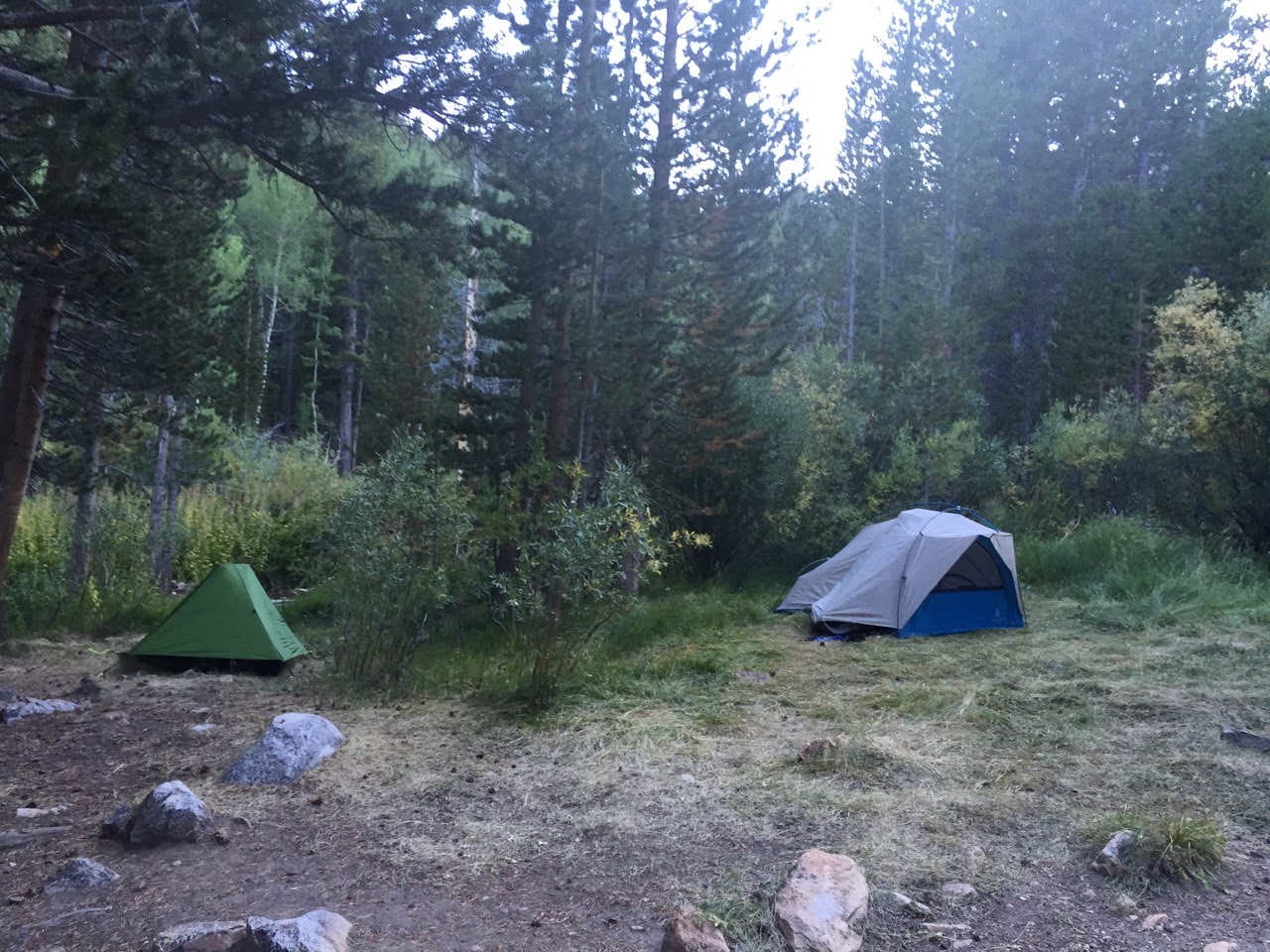
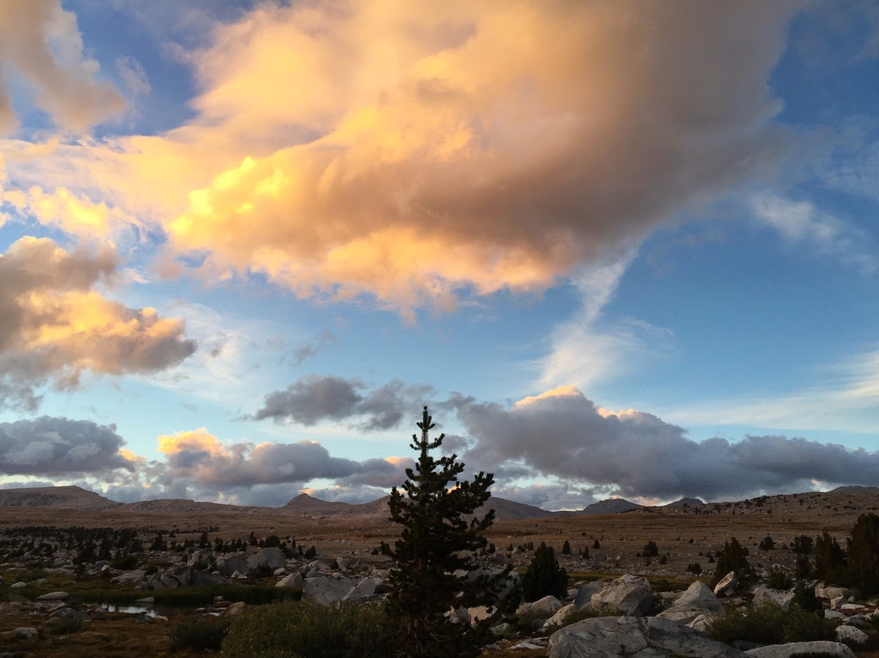
we dropped into humphrey’s basin and passed a man that was packing up. he seemed a bit shaken and said it had been very cold the previous night. by now the wind had kicked up and the sky was looking more ominous, but we found our way to a nicely sheltered site, and the clouds gave way to a beautiful sunset. we were cold and happy.

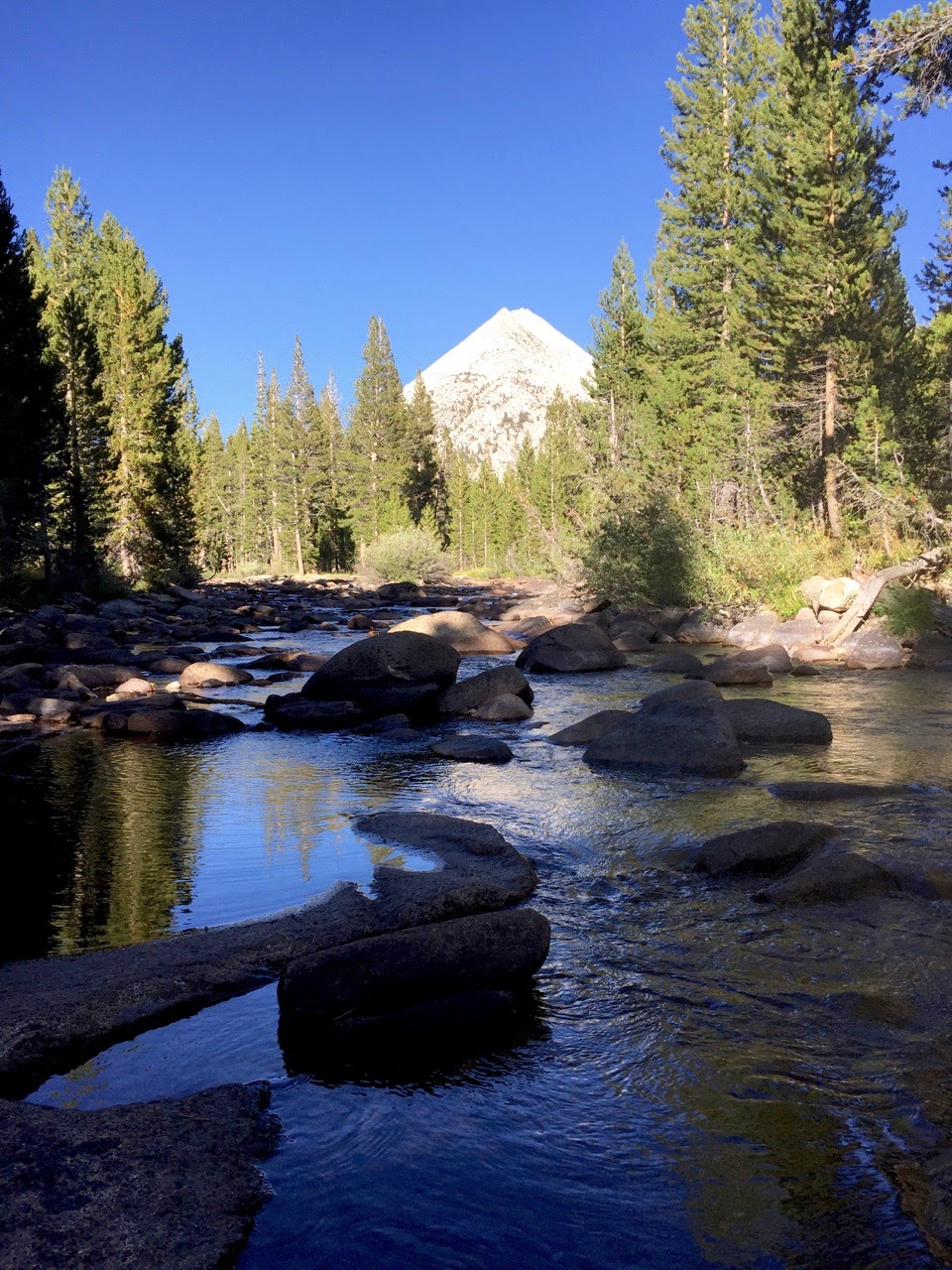
the wind died down to nothing and after spending two nights next to a burbling creek, the absolute, enveloping silence overnight was amazing. the thin scratch of my pencil on a sheet of paper seemed loud. i briefly wondered if my friends could hear it in their tent.
day 2: humphrey’s basin to piute canyon via carol col
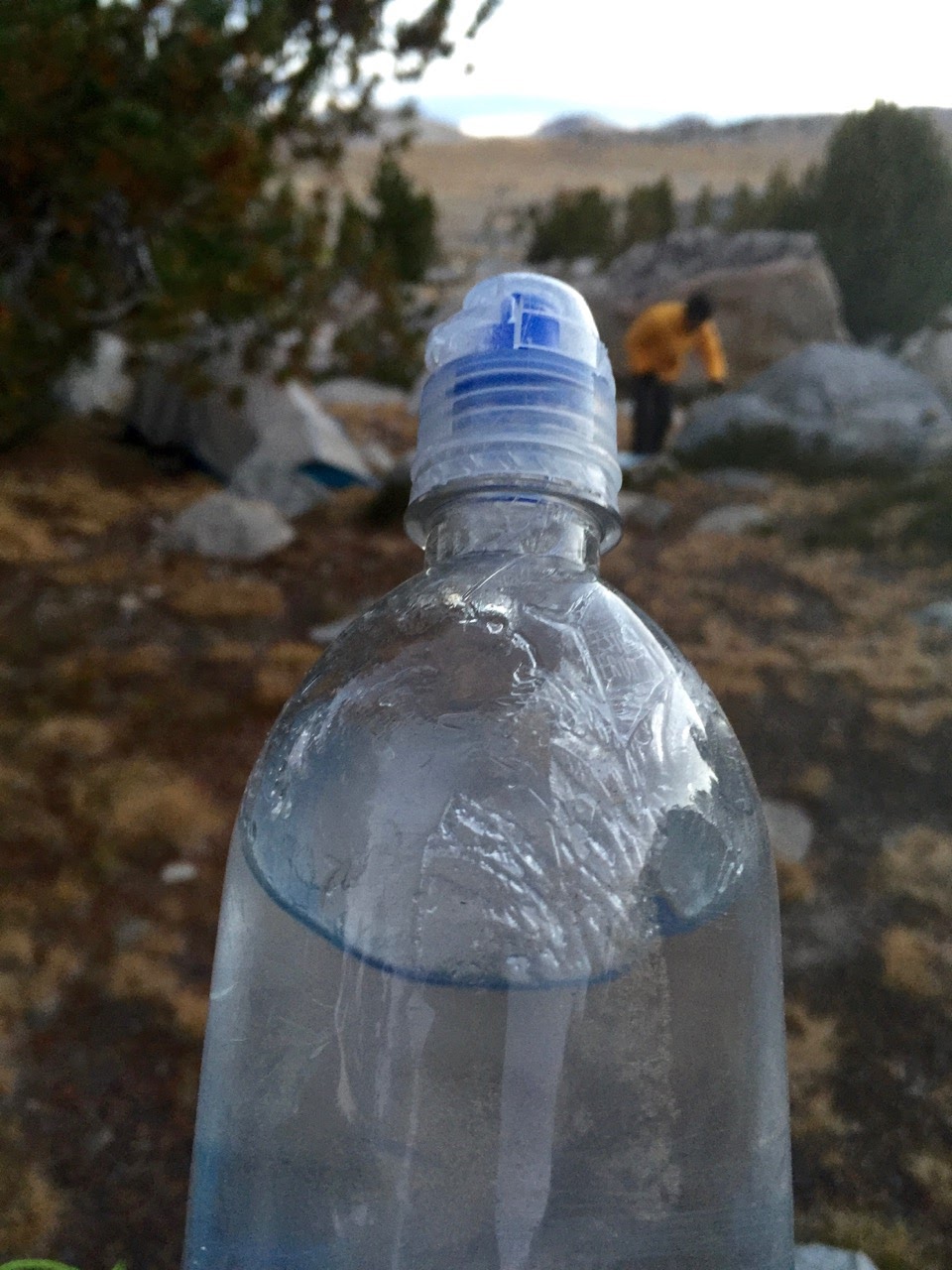
it was cold overnight. how cold i can’t say, but i was aware at some point that the difference between the temperature inside and outside my quilt was bordering on profound. in the morning our water bottles had nice ice floes rolling around inside and the condensation on my skyscape was all frost. anyone know approximately what temperature that would happen at?

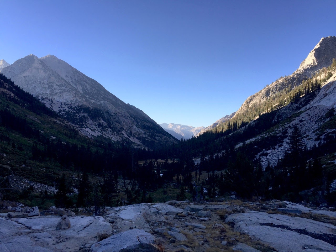
humphrey’s at 6 AM was majestic and quiet and overwhelming. we blinked dumbly at our luck.
while the plan was to do the north lake/south lake loop, first we planned to veer off into humphrey’s basin to work through some off trail sierra skills via a tiny section of the sierra high route over carol col and down to french canyon.
today was the day, and i was excited. on my first visit to the sierra, my wife and i had attempted to ascend whitney creek from kern canyon to a horse packers camp. the internet made it sound fun and easy. it was not, and we gave up after 30 minutes of scratching and clawing through manzanita and steep gravel. anyone i’ve mentioned this to afterwards said that it was perhaps not the finest example of a first-time off trail excursion.
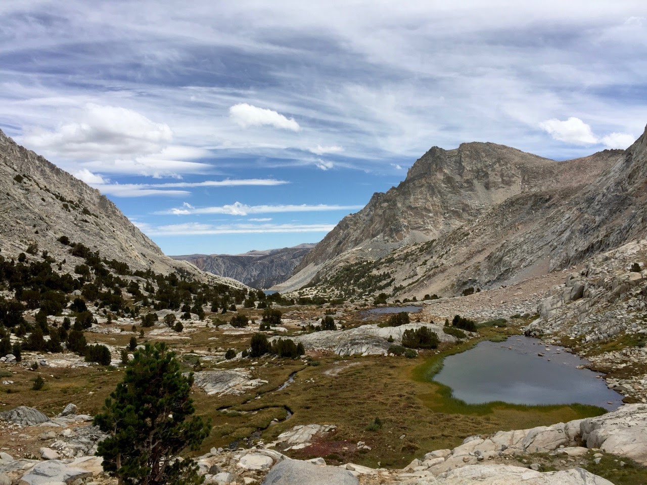
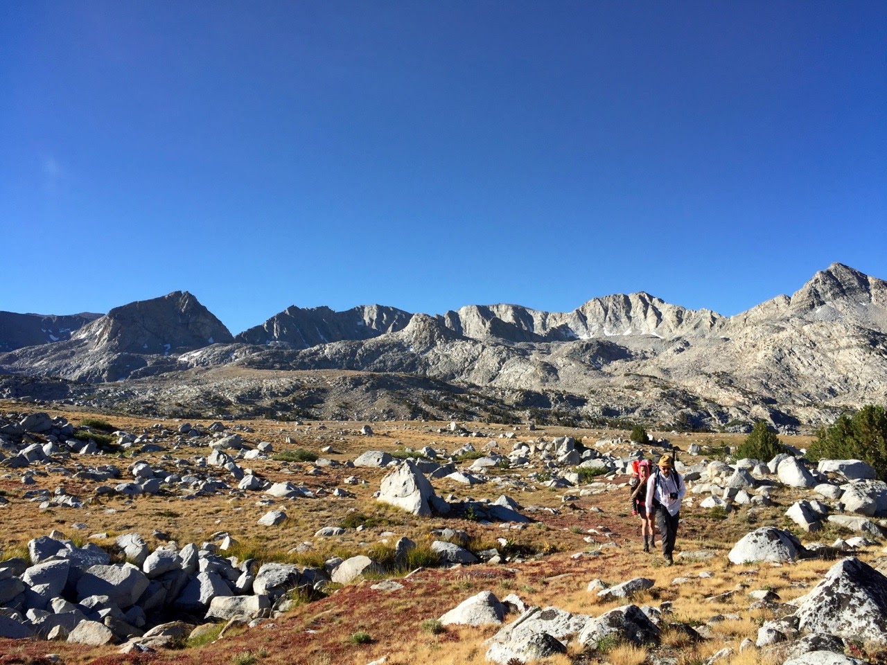
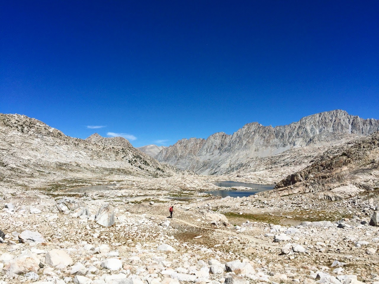
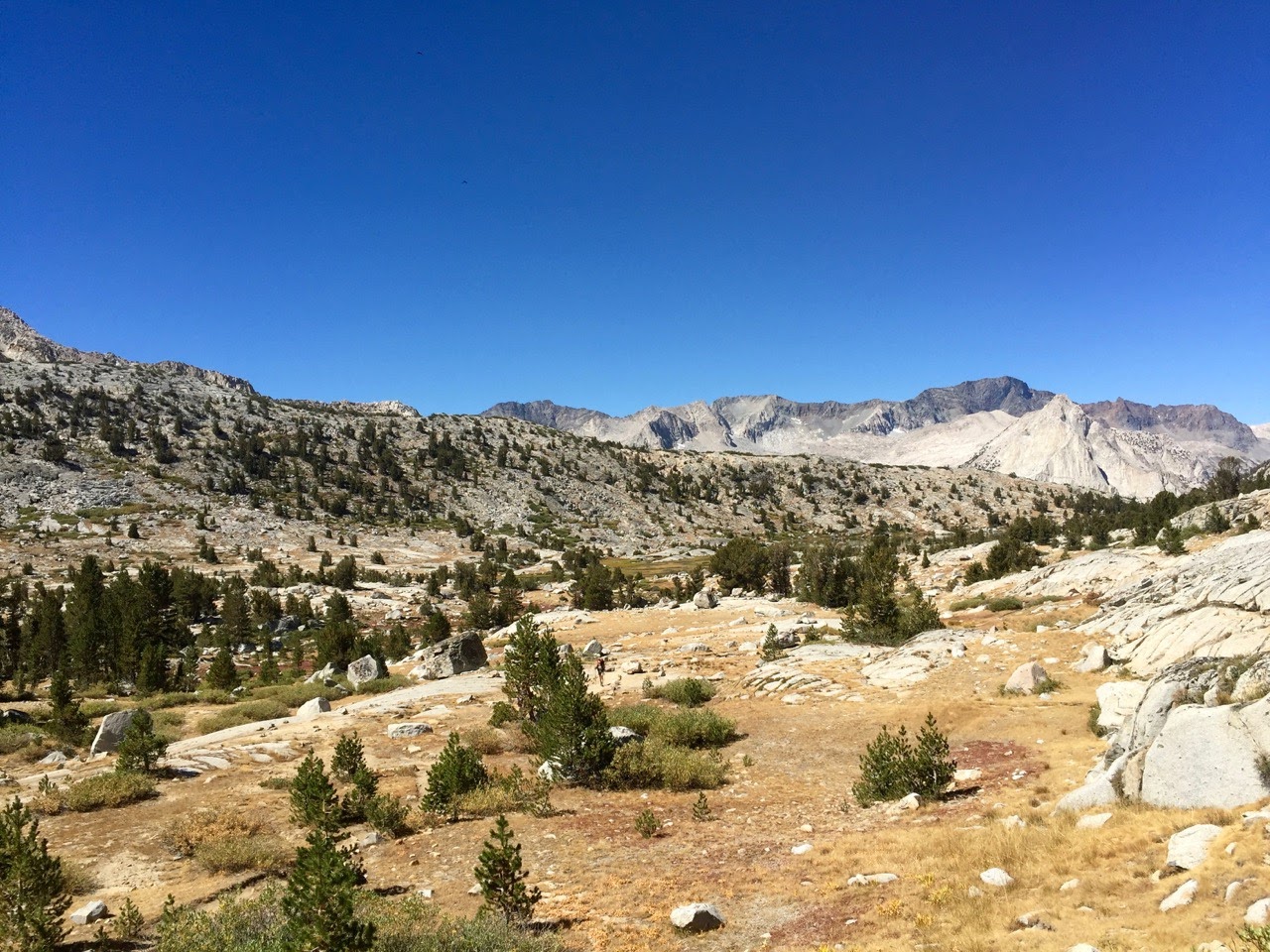
our morning walking through humphrey’s basin was the highlight of the entire trip for me. i’m not the first to notice, but humphrey’s might actually be perfect. it’s practically a fairytale. up and down we went over small boulders and mellow grasses, the terrain rising and falling indifferently. the sun was just warming the basin. i saw a jackrabbit. it was heaven.

we went up, down, hopped across outlets and picked our away up grassy ramps. seemingly any spot that looked remotely foreboding and rocky had a nice grassy ramp hidden somewhere inside it if you took a second to take stock.
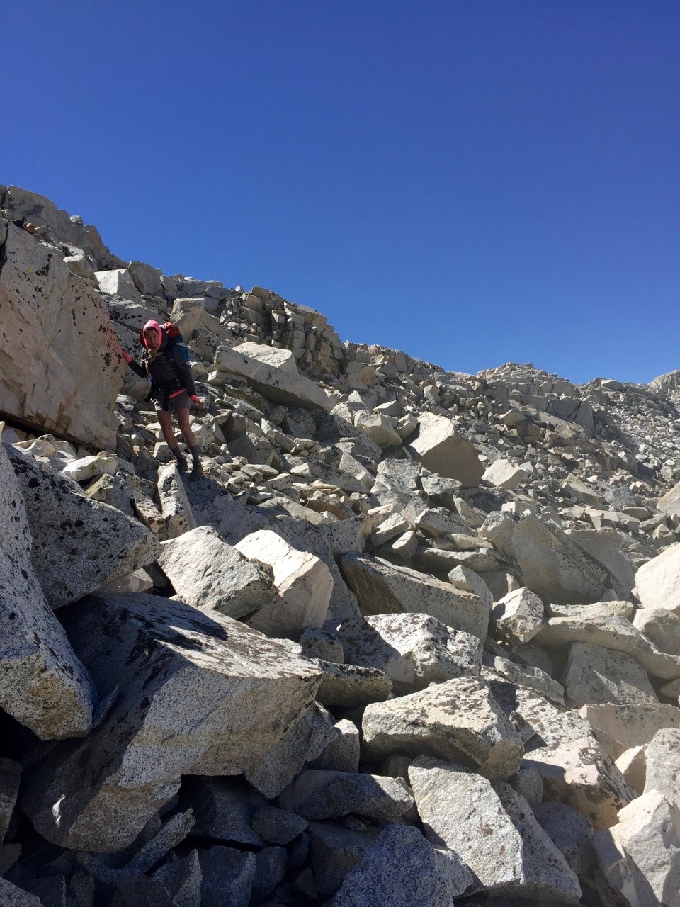
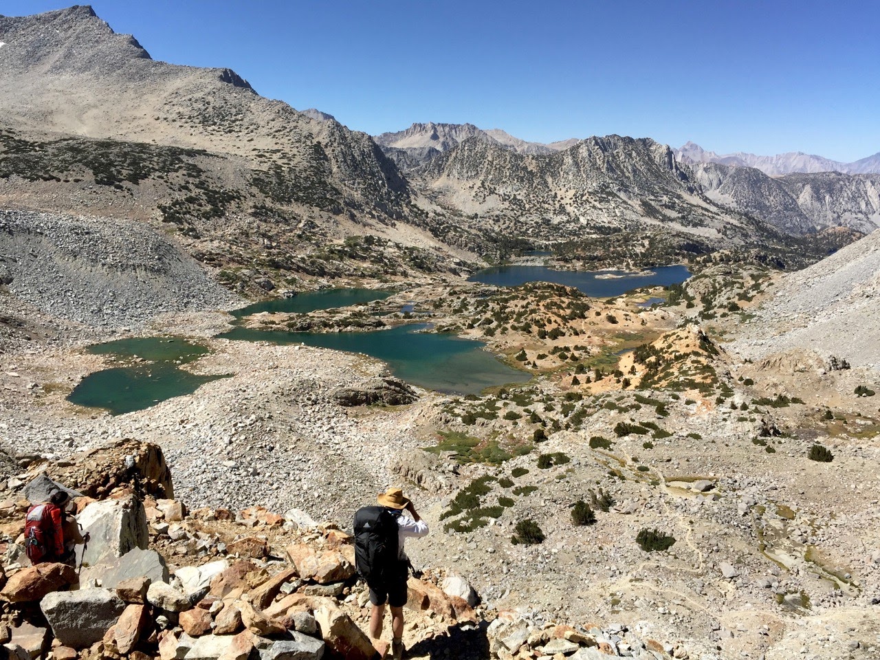
reaching the top of the pass was a surprise. i had done all the research, read all the forums. this was an “easy off trail pass.” but it sure didn’t look it. in fact, it looked like a near-vertical jumble of rocks. there were no more grassy ramps, only empty air and angry boulders.
i have to give serious credit to my two companions who definitely did NOT spend their winter researching the sierra, and just took my word for it that if we dropped down a few feet into this highway to hell, we could hop over to that nice wall to the right, and walk on down to puppet lake.
it turned out that the internet was not wrong. the talus was generally quite stable and we got down pretty quickly. it was not without a few zingy jolts of mild terror, but the next thing we knew, we were eating lunch at paris lake and happily recounting the descent.

so, if you are also interested but unfamiliar with off trail travel in the sierra: this was a good way to start. from my limited experience, this stuff tends to look kind of easy in photographs (i can definitely do that), impossible up close (oh hell no), and doable once you get going (ok i see what they were talking about).
getting down to french canyon followed a similar pattern. i had not researched this route at all. i suppose i figured it was straightforward, though it was actually a jumble of terrains, angles and bushwacking. it wasn’t hard, but required just as much attention as the pass.
i now see the obvious appeal of this kind of hiking. while walking is often considered “meditative”, heading off trail in the wilderness is a really fast shortcut to a TOTAL mind clearing. my only thought for the several hours we spent between trails was “where do i put my foot now?”
when we finally made it down to the dusty french canyon trail we were thrilled to have a few hours of mindless walking ahead of us. but within 30 minutes were already fantasizing about heading off the trail again, and looking at the landscape differently…
we found a nice spot just off the trail in piute canyon, a mile or two after its intersection with the hutchinson meadow trail.

day 3: piute canyon to (almost) colby meadow
we had a nice time descending piute canyon in the early AM (and didn’t see a single person). once we hit the JMT bridge and turned south, the views were breathtaking.
this was my second brief stint on the JMT and while there were a ton of people, they were nice and seemed happy to be hiking. that said, virtually none of them had heard of any of the places we were going that weren’t directly on their trail. that seems a shame, like being a led zeppelin fan but only knowing their fourth album (the one with ‘stairway to heaven’).
at the evolution creek crossing (barely ankle height in early september), we ran into a lovely pair of santa fe mom’s in matching zpacks gear. they were having the best time on the JMT, loved all their gear, and wanted to tell us all about it. at the crossing i was also able to help a hiker who needed to tell his whitney portal ride to come a day later than scheduled – my rented inreach finally put to good use.
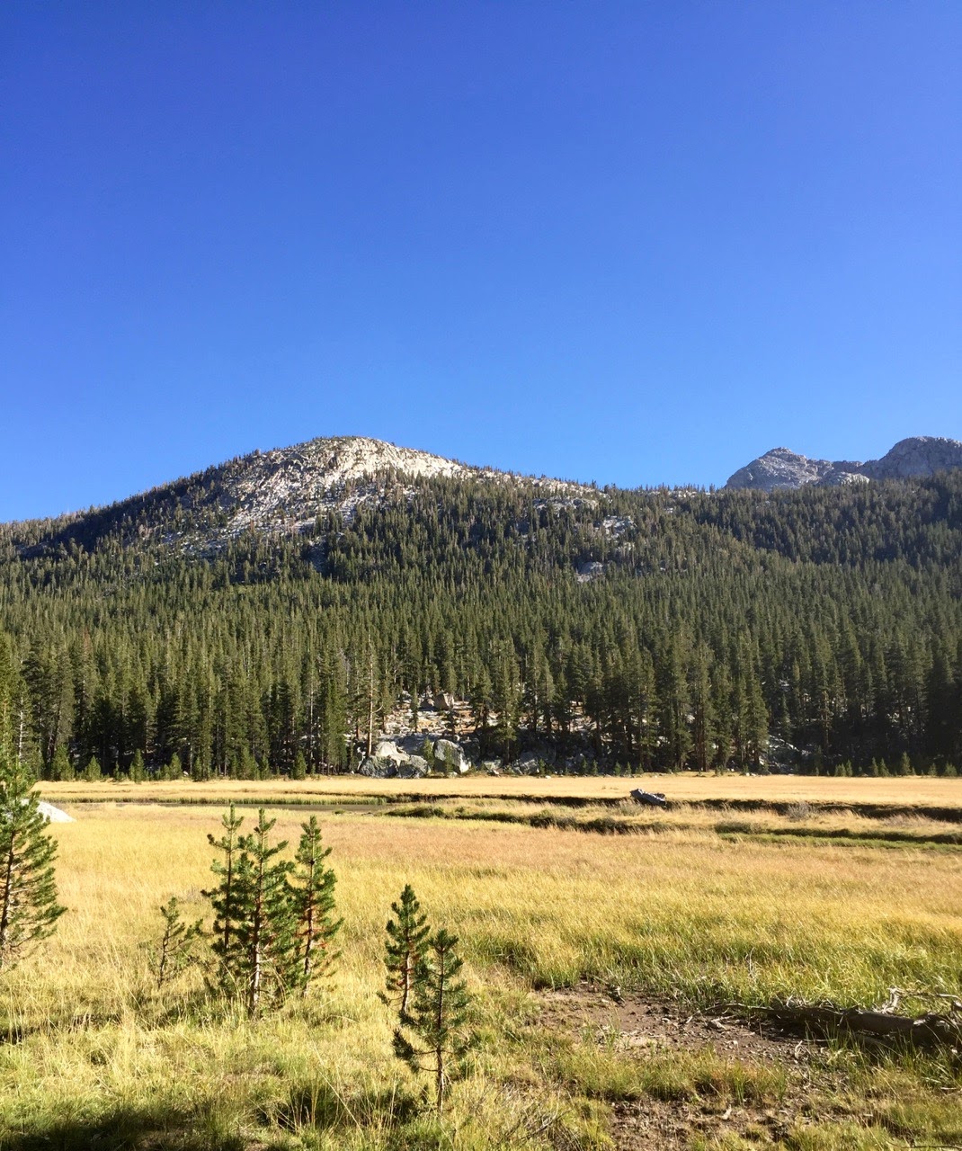
the rest of the afternoon was my first stroll through evolution valley, which deserves it’s reputation as incredibly beautiful and heavily impacted.

we passed a JMT tent village or two but found our own spot just shy of colby meadow. we were visited by a family of deer who feed on the abundant hiker leftovers. they were content to graze on the periphery of our area, as opposed to the more demanding, take-your-sweaty-shirt hamilton lake crew.
day 4: colby meadow to big pete meadow
we skipped breakfast to get a quicker start, which landed us at the top of the evolution switchbacks and quite hungry. fortunately, this was a really nice place to eat granola.

from there, we passed the beautiful and busy evolution lake before continuing up into the world of rock.

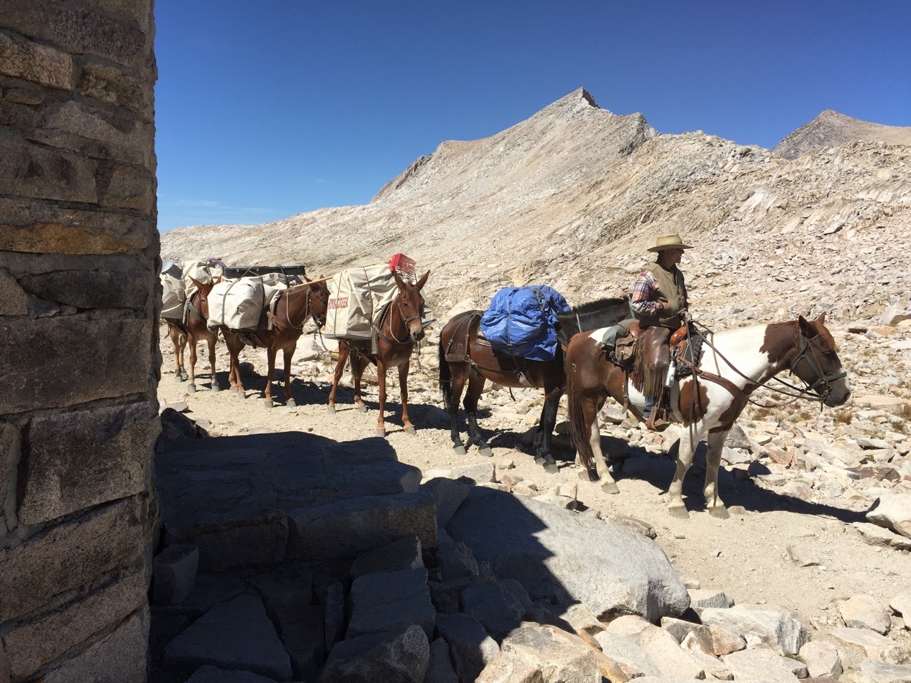
muir pass was crowded, but everyone was in a good mood, including the horse packers who stopped to have their picture taken in front of the hut – was this really a first time visit for those guys?

just after helen lake we ran into a friendly trail crew dude who confirmed my sinking suspicion that the mileage i’d calculated from a random gpx track on caltopo was off. the track probably underreported the dusy basin/bishop pass switchbacks, and unless we wanted a final 17-18 mile day over bishop pass, we needed to push past ‘starr camp’ to big pete meadow this afternoon. that would make something like two 14-15 mile days instead of a 12 and an 18ish mile day. (i should’ve paid more attention to the harrison maps.)
thus motivated, i had a great time racing ahead of a horse tour, whizzing my way down through beautiful leconte canyon in the late afternoon light. i’ll have to come back here in less of a hurry.

day 5: big pete meadow to south lake
big pete meadow was perfectly serviceable, and there was only one other quiet and possibly surly guy there. it was our warmest night yet, and we skipped breakfast again to set out early through the cool, dark canyon.

we were quickly at the base of the dusy basin switchbacks, watching people begin to stir in their tents by the leconte ranger station. up we went, a never ending Up that wound across the deep v’s of long switchbacks as the canyon fell away underneath.
by the time we were into dusy basin proper, the flat noon-ish sun was baking down. i wasn’t as taken with dusy as i thought i would be. perhaps the harsh light and inevitable sense that our trip was practically over was to blame.

at the pass we ate lunch and ran into a massive group of friendly climbers just setting out from bishop to “tackle some pretty gnarly routes” in the palisades.
the descent down the other side towards south lake was great. saddlerock and long lake were as gorgeous as anything on the kings side of the pass.

i was out ahead of the others for most of the afternoon, and had plenty of time to look back on the trip as a whole. spoiler alert, i loved it.
when i arrived at 5 pm, the parking lot was silent. i laid down on a bear locker and stared at the sky. my friends showed up 20 minutes later after a final dip in long lake.
after a night in bishop, three or four meals and another long drive, i was back with my family. until next year, sierra.

~~ etc ~~
– i had more of a reaction to altitude than i anticipated last year in the sierra. this year i took two days to acclimate instead of one (and at ~2k feet higher) and started diamox 125mg @ 2x/day two days prior. i felt pretty great right from the start.
– i’ve been using a steripen ultra this year but my friends brought a classic katadyn pump filter. i hadn’t seen a pump up close for a long time. it was heavy and bulky but to its credit, that thing filtered water exactly twice as fast as my lil steripen, and possibly 1,000x faster than my old sawyer squeeze. fortunately, they were pumping for two people, so it took the same amount of time for us to do our thing. that said, one day their pump mysteriously ‘broke’ for an hour until they just as mysteriously ‘fixed’ it. but someone carrying a fragile digital device shouldn’t throw stones.
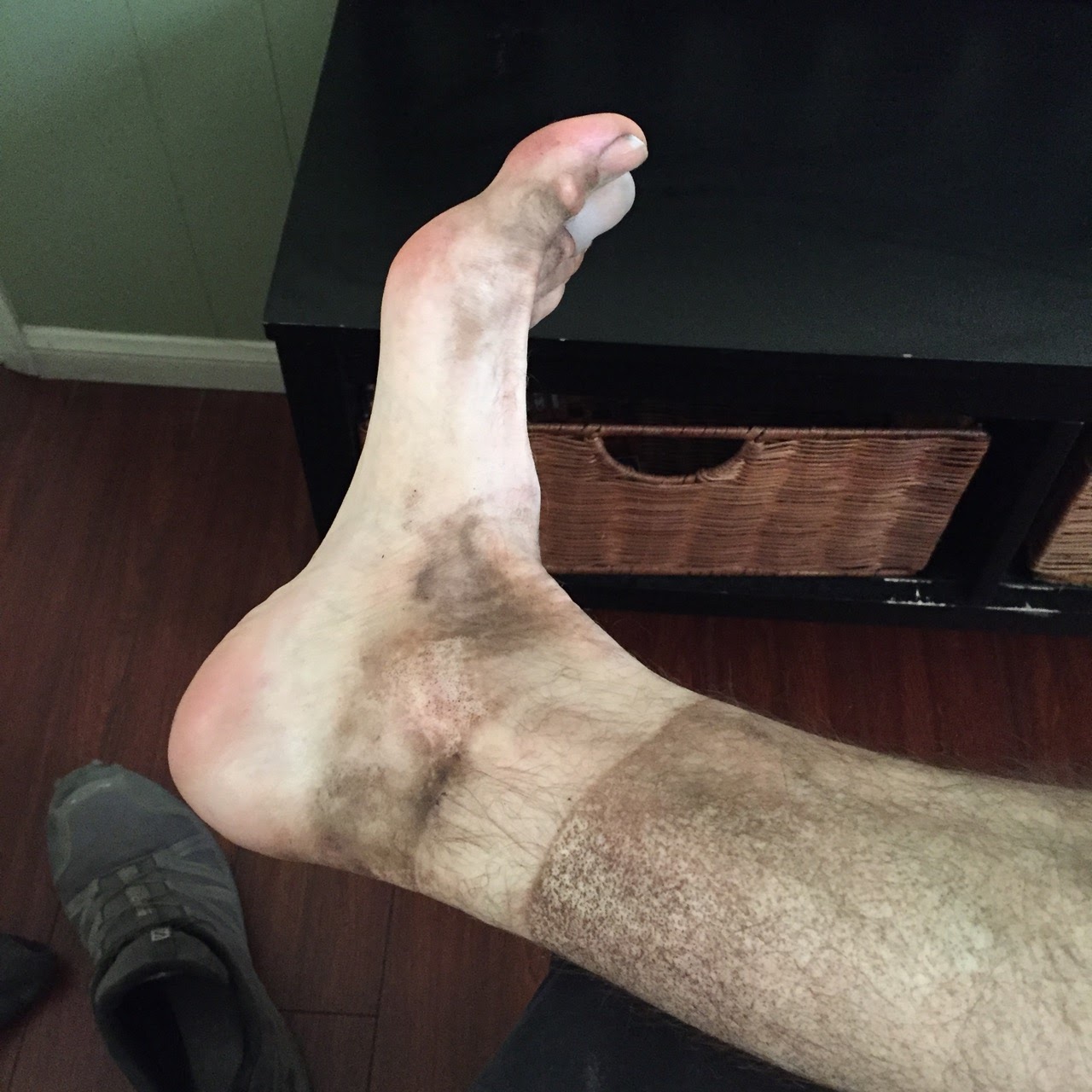
– as someone with a ‘greek foot’, i’ve dealt with morton’s toe for years. well, i finally made my way to a large enough shoe to handle it. i’m normally an 11.5 or 12. even 12.5’s in my salomon speedcross weren’t big enough. size 13 seems to do the trick, as long as i tighten the laces like crazy on descents. so: believe it. if you too end up with black toenails, get shoes that sound absurdly large to you. it may work.
– i decided to go stoveless on this trip. i also experimented with drinking perpetuem and forgoing a real lunch during the first few days as i’m just not that hungry at altitude. both experiments worked fine (especially since i was able to steal a cup of hot water from my friends for tea every morning). i still wasn’t very hungry, especially for the dehydrated dinners that i had brought (mary jane’s couscous and bulgar wheat mostly). i could seemingly eat trail mix and dark chocolate forever, though. i’m considering trying a no-dehydrated-food plan next time – breakfast, perpetuem and/or lunch, and infinite snacks.
Oct 10, 2016 at 11:20 am #3430388Ben,
Thanks for the nice trip report and your photos. Seeing your photos I wonder whether I should have gone to the Sierra for Labor Day instead of spending the weekend in Henry Coe which was a lot of fun but pretty hot.
Manfred
Oct 10, 2016 at 2:30 pm #3430418thanks manfred.
ah, the trials and tribulations of the bay area resident… ;)
Oct 10, 2016 at 2:30 pm #3430420(i’m jealous.)
Oct 10, 2016 at 2:51 pm #3430424Ben, Great trip report! Thanks so much for sharing it. I’m particularly interested to hear about your off-trail travel over Carol Col. My son and I hiked the JMT in 2015 and are thinking about revisiting part of the trip in 2017. We’ve narrowed it down to two areas: either North Lake / South Lake (so we can go over Muir Pass and into marvelous LaConte again) or something farther south so that we can Summit Whitney (due to weather and food issues we didn’t summit on our last day). Your trip report is very relevant to our interests…
It’s a shorter trip but I wonder if you’ve been up in Sabrina Basin above Lake Sabrina? I visited the area in mid-July this year and very much enjoyed it. You’d have a hard time turning it into a week-long trek but it’s a fantastic trip if you only have a few days in the area.
Oct 10, 2016 at 4:14 pm #3430457hey matthew
i haven’t been up there, though we did consider going over table mountain to make a complete loop of the trip, which would’ve taken us by the shore of sabrina itself.
if 50-60 miles is less than you’re looking for but north/south/carol sounds fun to you, i’d suggest just spending an extra day or two in humphrey’s basin. we met a woman who was spending an entire week there wandering around the basin and after spending a day there i can see how that might be a great use of time! it’s so lovely…
 Oct 10, 2016 at 4:16 pm #3430458
oh i totally misread your ‘shorter trip’ to mean north/south was shorter than you wanted. whoops.
Oct 10, 2016 at 6:29 pm #3430485Hee Hee. I was a little distracted when I wrote my post. Not my clearest writing ever.
I have no idea what I’m looking for next summer yet. It might be North Lake to Cottonwood Lakes or just three nights in Sabrina. Many factors are in play here, not the least of which is my unfortunate vacation schedule which gives me about 16-18 days off ending on July 4th if I want to do a long trip. I am very much at the mercy of the snow accumulation charts… One thing is sure, after taking this summer off of hiking boy is ready to head back to the Sierra with me next year. He’s already excited. :D
Oct 10, 2016 at 7:57 pm #3430493Anonymous
InactiveI really enjoyed your report, Ben. I felt like I was there with you. The diversion over Carol col was a nice twist on the normal route, and a great way to cut your teeth on the world of rock without breaking them. For some reason I am not seeing the pictures displayed, but then , nothing surprises me on BPL anymore. A pity, because you take great pictures. Thank you for sharing.
Oct 11, 2016 at 8:42 am #3430537hey matthew, yeah that’s pretty early in the year for the high sierra. hmm. i’d say lets hope for a low snow winter but i don’t actually hope for that at all. :)
tom, you helped me figure out the route in the first place, so i certainly hope you like it!
and that is strange that you can’t see photos. is anyone else having that problem with this post?!
Oct 11, 2016 at 9:10 am #3430540Nice write-up, looks like you are now hooked.
Oct 11, 2016 at 9:26 am #3430544I can see your photos on mobile and desktop.
I don’t hope for a low snow year but I do hope for an early melt!
Oct 11, 2016 at 11:50 am #3430574yes cameron, the deal with the devil has been struck!
-
AuthorPosts
- You must be logged in to reply to this topic.
Forum Posting
A Membership is required to post in the forums. Login or become a member to post in the member forums!
LAST CALL (Sale Ends Feb 24) - Hyperlite Mountain Gear's Biggest Sale of the Year.
All DCF shelters, packs, premium quilts, and accessories are on sale.
Our Community Posts are Moderated
Backpacking Light community posts are moderated and here to foster helpful and positive discussions about lightweight backpacking. Please be mindful of our values and boundaries and review our Community Guidelines prior to posting.
Get the Newsletter
Gear Research & Discovery Tools
- Browse our curated Gear Shop
- See the latest Gear Deals and Sales
- Our Recommendations
- Search for Gear on Sale with the Gear Finder
- Used Gear Swap
- Member Gear Reviews and BPL Gear Review Articles
- Browse by Gear Type or Brand.

