Topic
Lost Creek Wilderness (CO) question
Forum Posting
A Membership is required to post in the forums. Login or become a member to post in the member forums!
Home › Forums › Campfire › Trip Planning › Lost Creek Wilderness (CO) question
- This topic has 6 replies, 3 voices, and was last updated 8 years, 6 months ago by
 Randy Nelson.
-
AuthorPosts
-
Jun 28, 2016 at 5:51 pm #3411255
The 1994 USGS topo maps (and the TI Tarryall/Kenosha map) show an unmaintained trail running (south) up Lost Creek from East Lost Park. It seems to end halfway up, but it is suspicious to me that it ends precisely on the map sheet junction- it is on the Windy Peak map sheet but not on the McCurdy Mountain map sheet. I suspect that it actually keeps heading up the drainage and connects to the McCurdy Park Trail near Lost Creek’s headwaters.
Does it?
Jun 29, 2016 at 1:06 pm #3411403That area is known as the Box Canyon of Lost Creek. It depends on your definition of trail. It is an unmaintained trail until the area is flattens out. You can get through but my understanding is that it takes some scrambling. I was solo with my dog when we were poking around there and it got too sketchy to continue due to the huge rocks with dangerous drops in between them so we turned around. There were cairns indicating the direction up to where we turned around but I don’t know what happens after that. I plan to go back with a partner some time to check it out further. I personally wouldn’t do it solo.
Jun 29, 2016 at 1:48 pm #3411410Randy sums it up well. At best, it is a social trail that peters in and out. All depends on how comfortable you are with scrambling.
Trip report from a BPLer :
Jun 29, 2016 at 4:29 pm #3411429Thanks, All.
I’m pretty happy with scrambling. I’m probably checking this out this weekend. If you find a body there someday you’ll know who it is…
:)
Jun 30, 2016 at 8:26 pm #3411676I know you’re joking and you had no way of knowing about this but it’s already happened there.There was a solo backpacker who died in that area in 2011. They didn’t find him for 11 days and a horse died and a SAR team member was injured in the search. The 11 days was the search. He wasn’t reported missing for something like 18 days. He was single and a teacher on summer break so no one realized he was missing.
http://www.thedenverchannel.com/news/recovery-efforts-halted-teacher-s-body-remains-in-wilderness
It was reported that he was found at McCurdy creek around 9000′. If you look on a map that’s right about where it merges with Lost Creek in the Box Canyon. Whether it was McCurdy or Lost Creek, they both flow thru huge rocks near there. They eventually did recover his body about 5 days after he was found. This is from a local forum post by a small newspaper. The article is no longer on their site. I’ve never heard of a privately funded recovery team in Colorado before.
“On Aug. 27 an extreme recovery team retrieved from Park County’s Lost Creek Wilderness the body of Frank Stanley, 44, an Englewood resident missing since July 25. The team was privately funded, and it went in under dangerous conditions after the recovery effort had been called off. Details in this week’s Flume.”
Be very careful if you go solo. I doubt satellite communicators/PLB’s, etc. would work if you fell down in between the rocks. Don’t take it lightly.
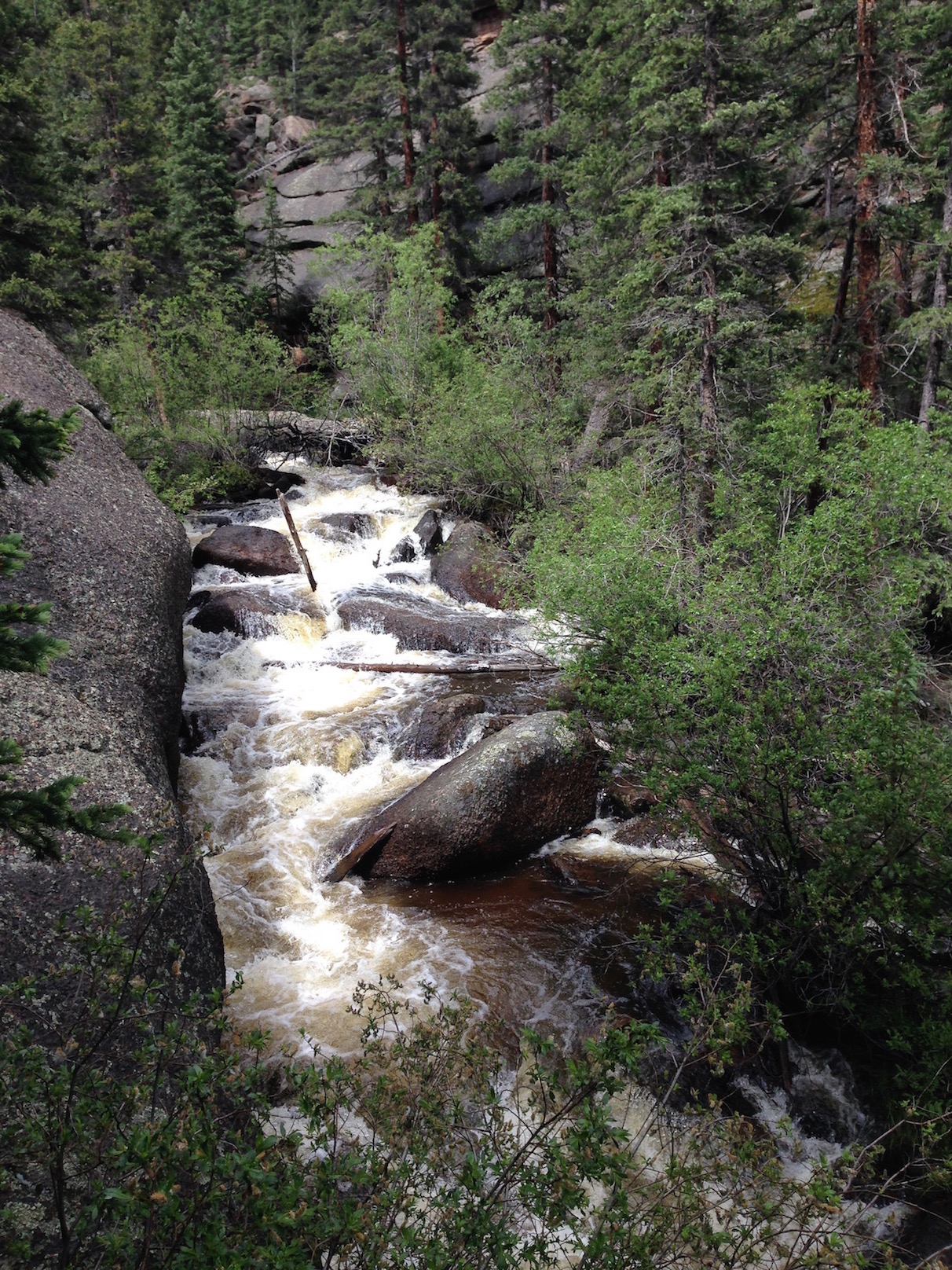
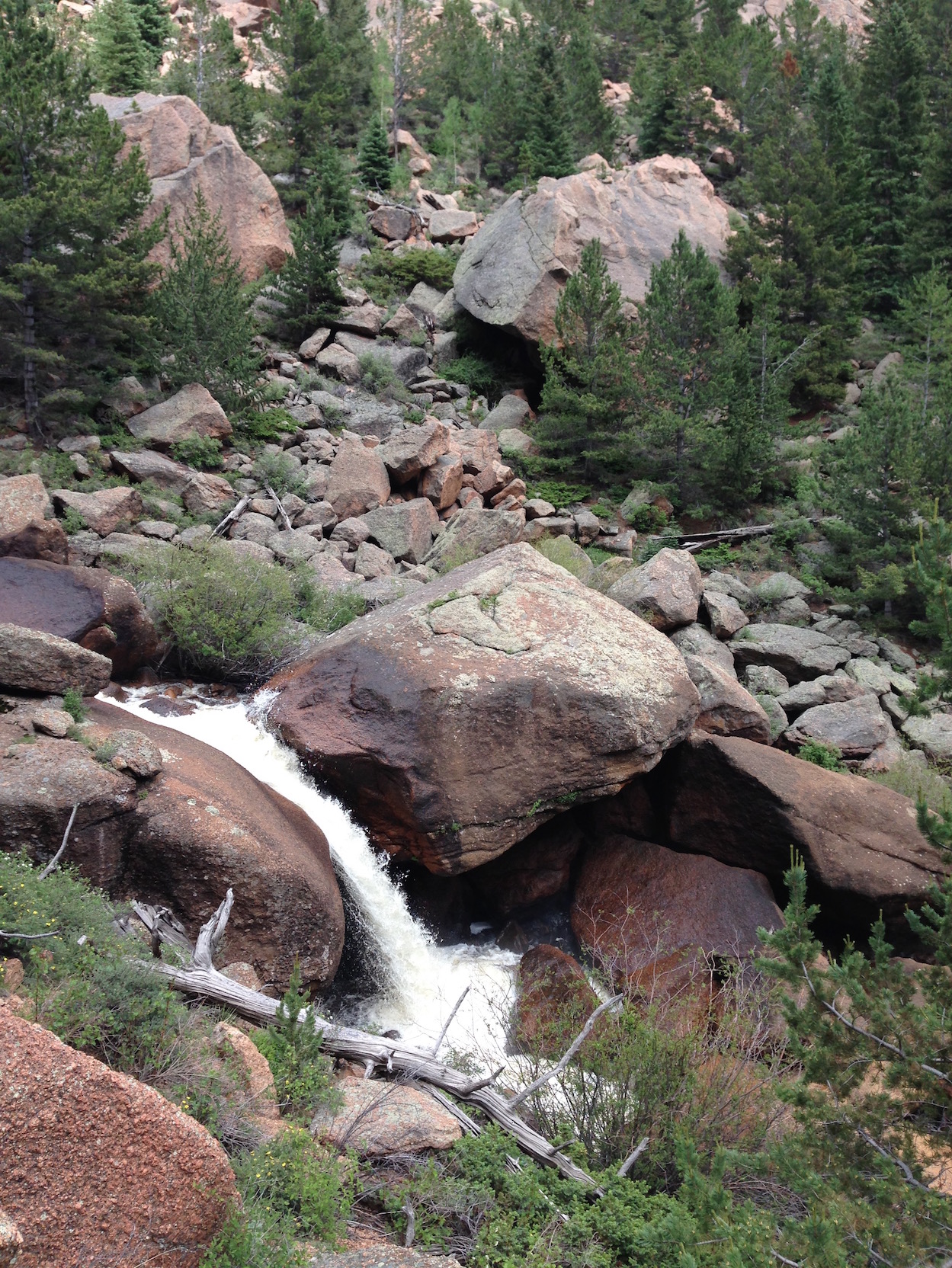
Jul 4, 2016 at 11:59 am #3412194What a fun, scrambly little trail.


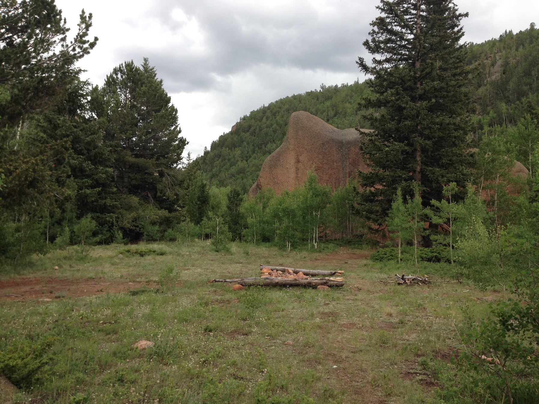
With one of the most pleasant little campsites I’ve ever seen, between to rock slabs:

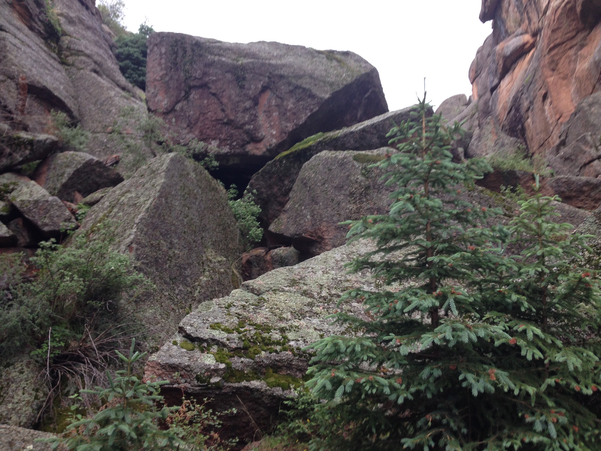
It pulls a bait-and-switch on you, though. It’s just a fun if somewhat rambunctious route with a lot of PUDs, through a few rock gardens and one spot of brushy willow and young Aspen, but easily followable. Then I hit this:

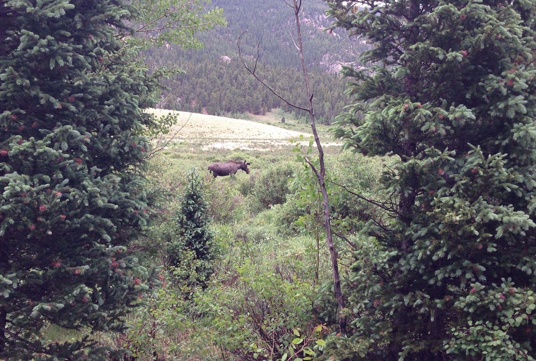
You can’t really appreciate the scale in the picture, and, yes, I probably could have gotten over it, but solo… and in the rain? No. I turned back. That could have been just a bit too consequential. You’d think that as rough as it is that Pikes Peak Granite wouldn’t get too slippery, but it does. I had already taken one inconsequential fall that nonetheless tore the butt out of my pants. The really frustrating thing is that according to the InReach my wife got me for my birthday I was within about 200 yards of the McCurdy Park Trail! Dammit! I probably would have been able to see it from the top of this pile. I also suspect that there is another route up a side slot onto the left ridge, but by then I was in no mood for exploration. So this became an out-and-back. Kind of a miserably rainy one, but I saw a moose bull:

Still in his velvet, with little paddle stubs.
Jul 7, 2016 at 5:20 pm #3412982Glad you enjoyed the trip Dean. I have many of those same pics!
-
AuthorPosts
- You must be logged in to reply to this topic.
Forum Posting
A Membership is required to post in the forums. Login or become a member to post in the member forums!
Our Community Posts are Moderated
Backpacking Light community posts are moderated and here to foster helpful and positive discussions about lightweight backpacking. Please be mindful of our values and boundaries and review our Community Guidelines prior to posting.
Get the Newsletter
Gear Research & Discovery Tools
- Browse our curated Gear Shop
- See the latest Gear Deals and Sales
- Our Recommendations
- Search for Gear on Sale with the Gear Finder
- Used Gear Swap
- Member Gear Reviews and BPL Gear Review Articles
- Browse by Gear Type or Brand.

