Topic
Kungsleden, Swedish Lapland
Forum Posting
A Membership is required to post in the forums. Login or become a member to post in the member forums!
Home › Forums › Campfire › Member Trip Reports › Kungsleden, Swedish Lapland
- This topic has 9 replies, 4 voices, and was last updated 7 years, 4 months ago by
 Sven.
Sven.
-
AuthorPosts
-
Aug 6, 2017 at 3:30 pm #3483373
–
Aug 6, 2017 at 3:37 pm #3483375Background
In early July I completed a hike in Swedish Lapland on and around the northernmost section of the Kungsleden, or “King’s Trail.” My friend James and I both graduated from high school this spring, and we were interested in a celebratory backpacking trip. Neither of us had had any experience backpacking abroad, and we thought that the summer after high school would be a good time to change that. James already had plans to be in Europe with his family during the summer, and I would be traveling to East Asia later in July, so we justified the trip as somewhat logistically practical (undeniably, this was a stretch).
Earlier in the planning phase, we considered Iceland’s Laugavegur trail. Though the dramatic landscapes there were appealing, we suspected that the crowds might be more bearable on the Kungsleden. That said, I was comforted (as was my family) by the likelihood that we would still come across other hikers each day on the trail.
Planning
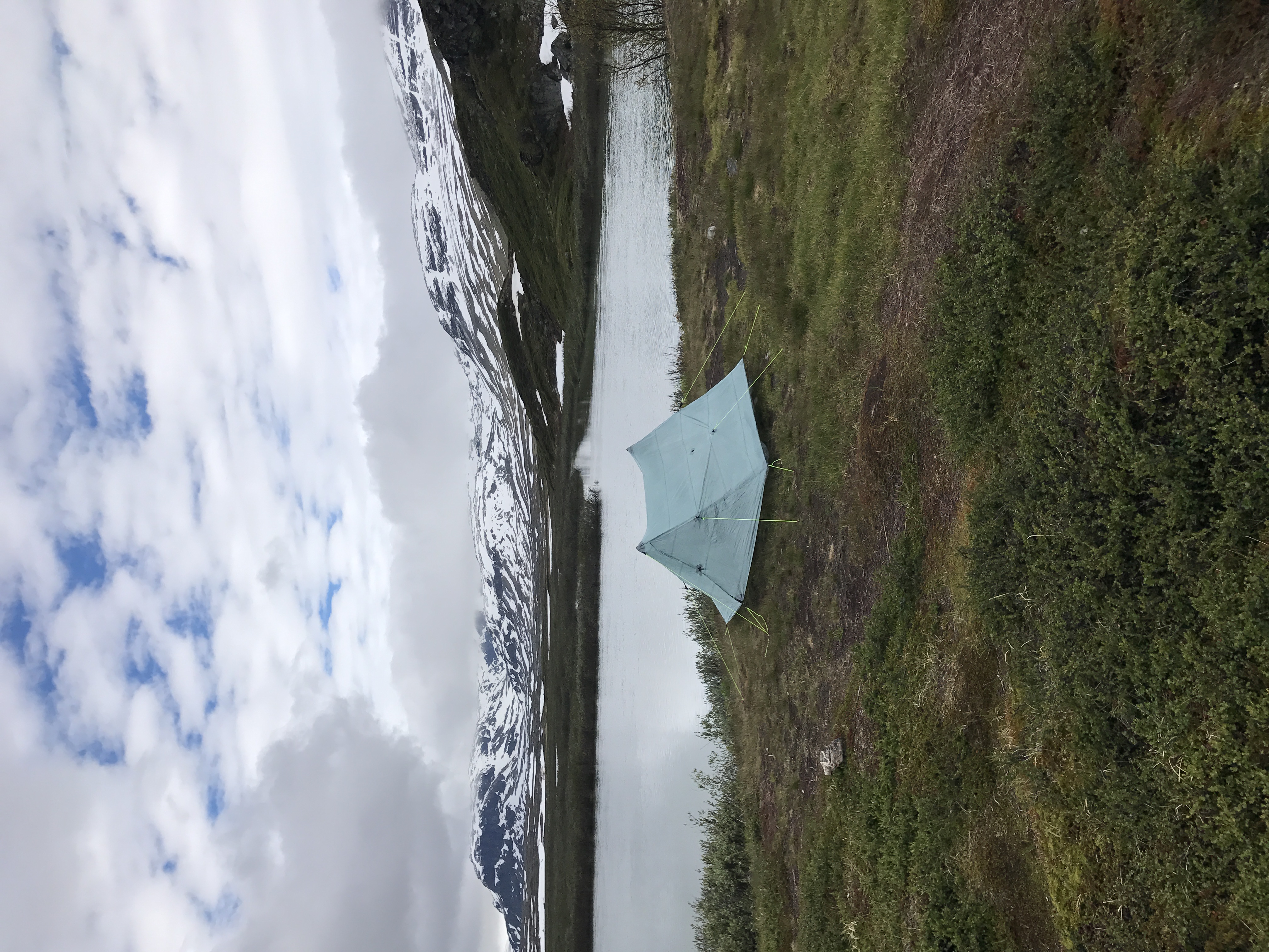
Gunnar and Sven among others from the BPL community were instrumental in the planning process. Their advice on the route choice, navigation software, gear, and gauging snow cover was particularly helpful. Gunnar and Sven reassured me that the Duplex would be adequate for the high winds in Lapland, if a bit cold and drafty. They also referred me to information on the snow conditions on the trails up there. Spring was late this year, and we were concerned that rotten snow would pose a problem. James and I had planned to hike from Abisko to Nikkaluokta, traveling south on the Kungsleden until Singi, and then following a side trail to Nikkaluokta. However, this route passed through the highest sections on the entire Kungsleden, where large snow fields were most likely to remain. Luckily, Gunnar proposed we depart from the Kungsleden sooner and follow Vistasvaggi, a lower valley. Though perhaps less dramatic, this route would skirt the highest sections of the trail and attract smaller crowds, all without changing the start and stop points of the hike.
We kept tracking the snow cover up till the day before our hike via NASA EOSDIS and the Swedish Tourist Association’s (STF) Facebook page. Since both routes had the same start and stop points, we were able to postpone our decision until we were on the trail. While our original route was deemed passable by STF, we chose to follow Vistasvaggi which — as we had hoped — was far less trafficked.
Photos

Near Abisko on our bus ride to the trailhead, looking NW across Torneträsk (from a quick Wikipedia search, “träsk” is a local word for lake) to mountains in Norway.

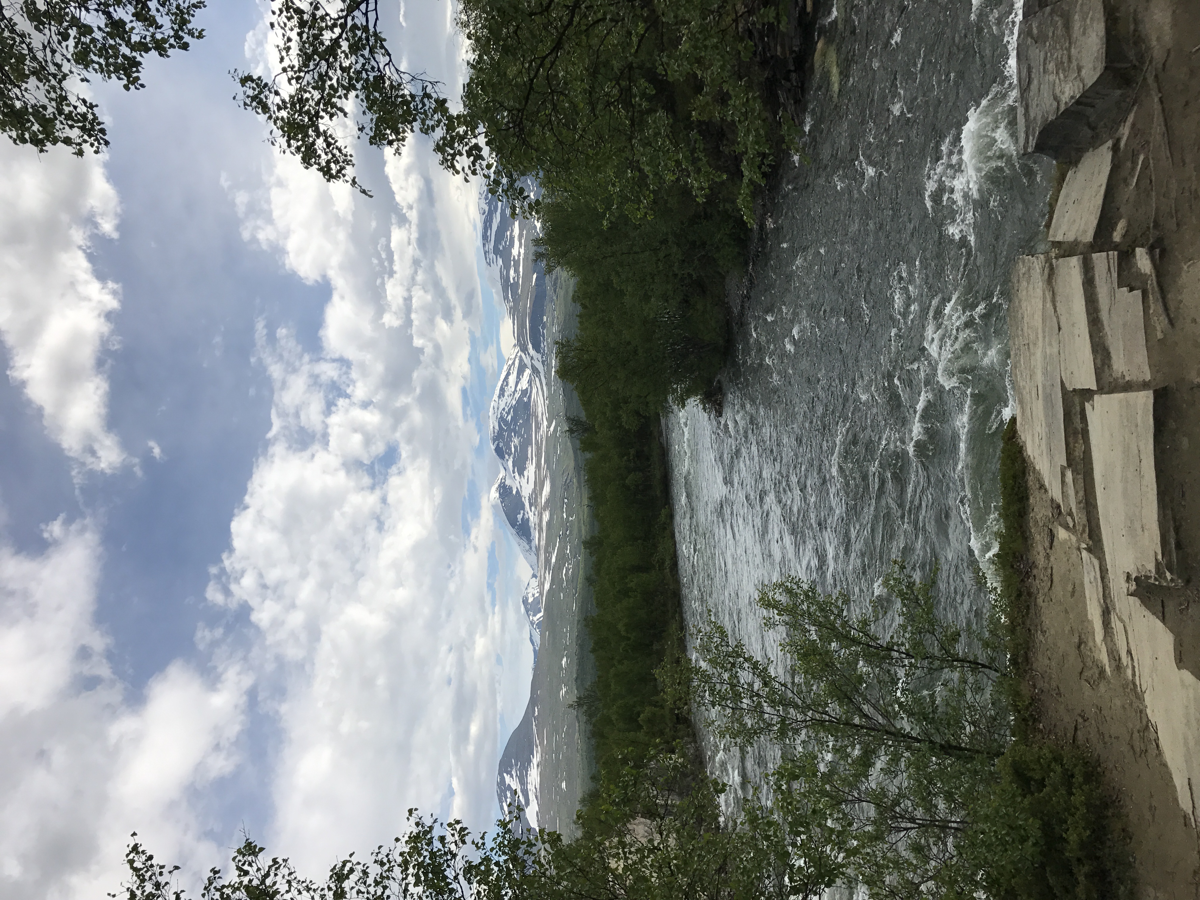
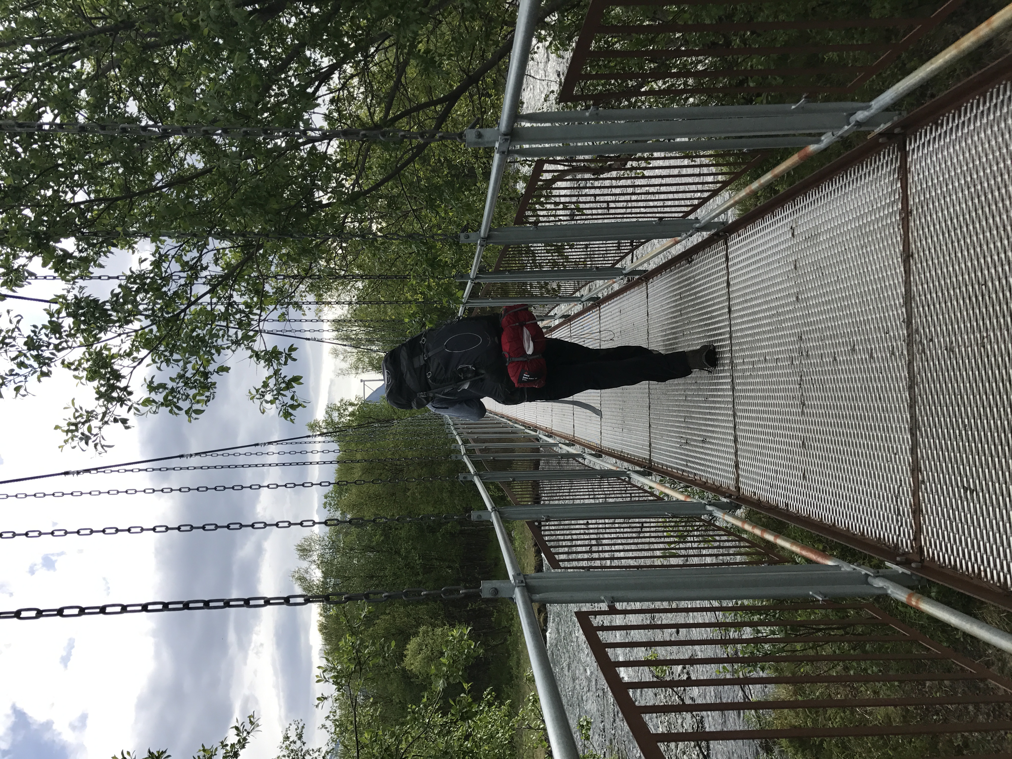
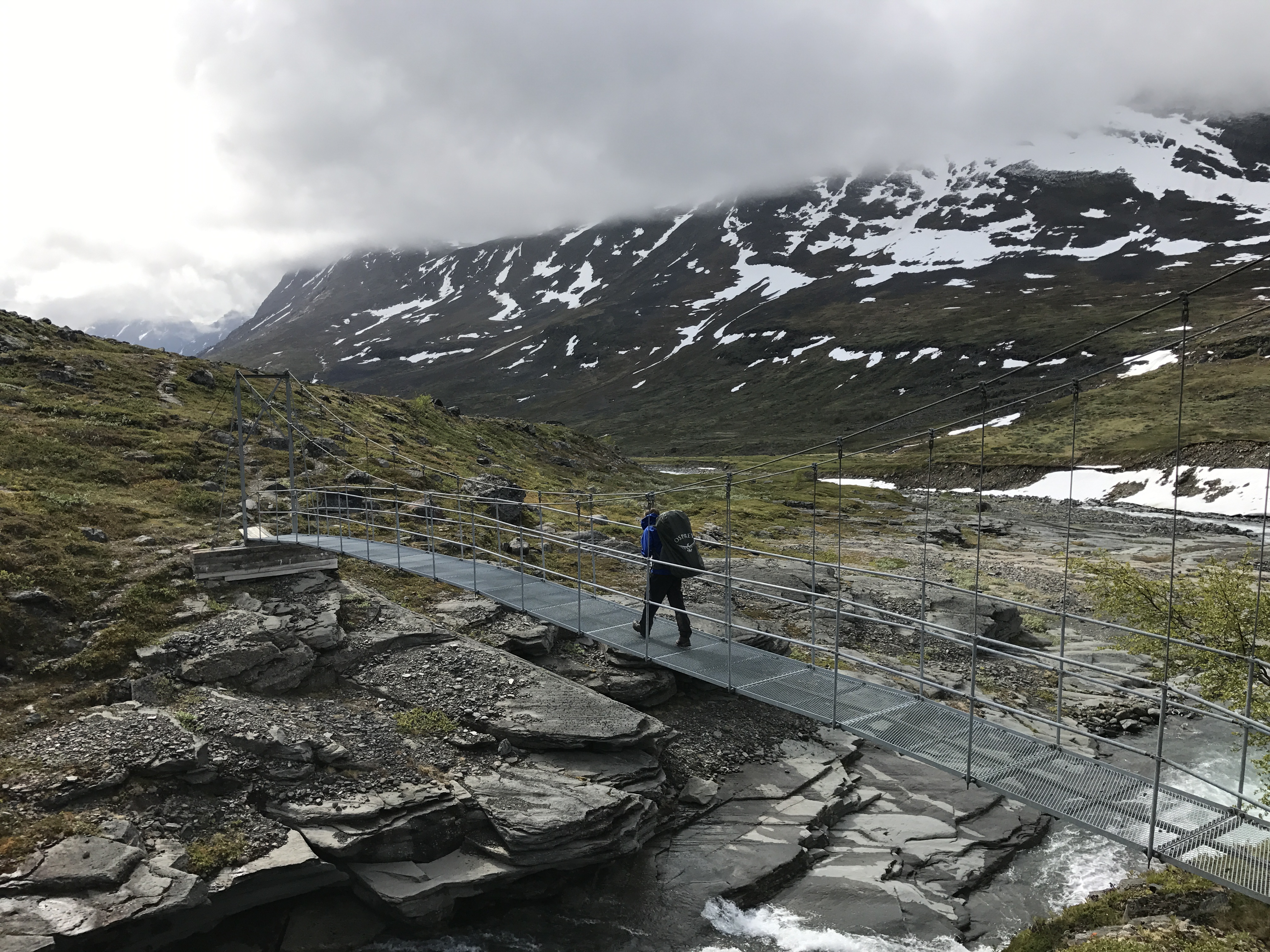
The trail began in low wooded areas, and we followed along a stream and crossed several times. All major crossings had metal bridges like this one.
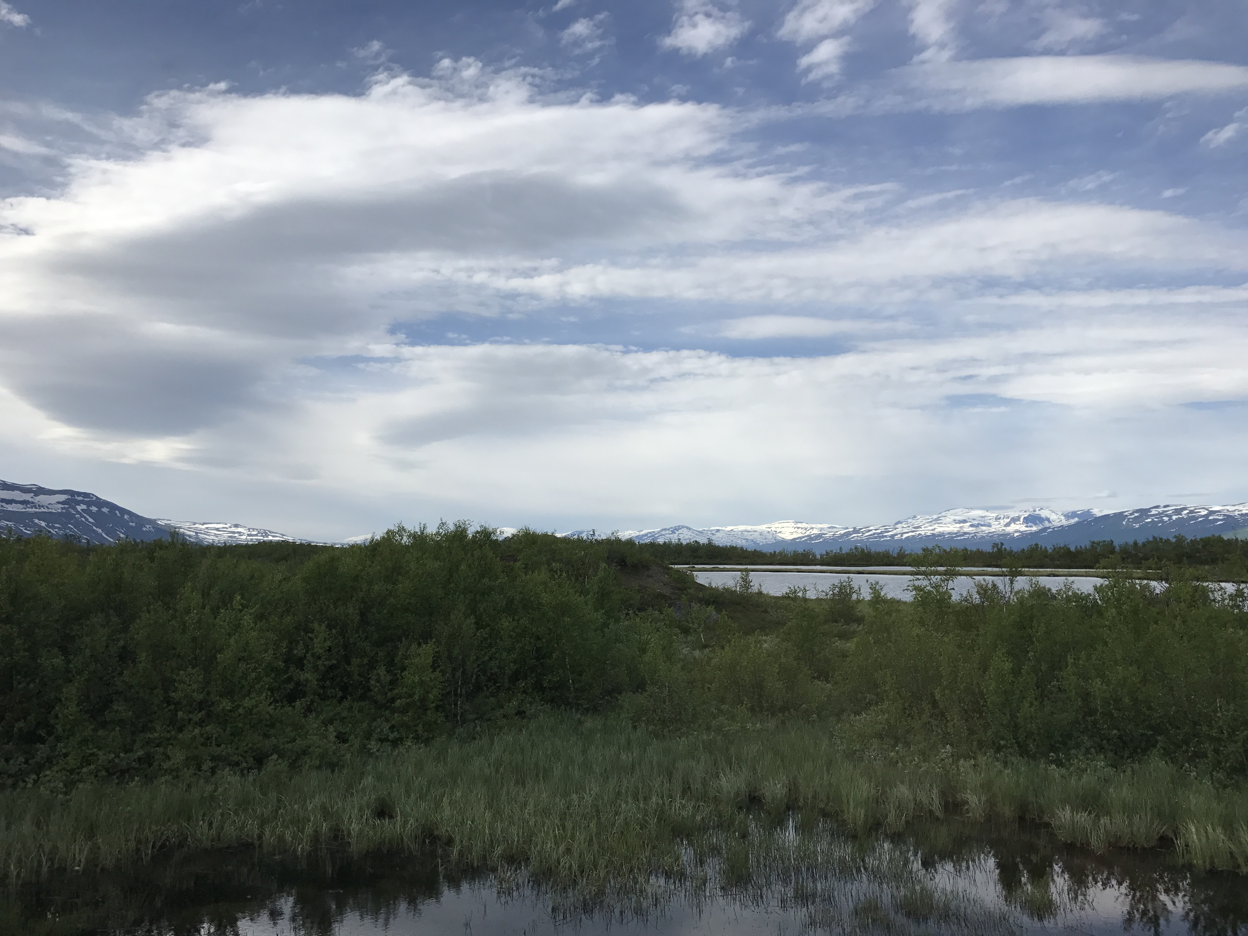
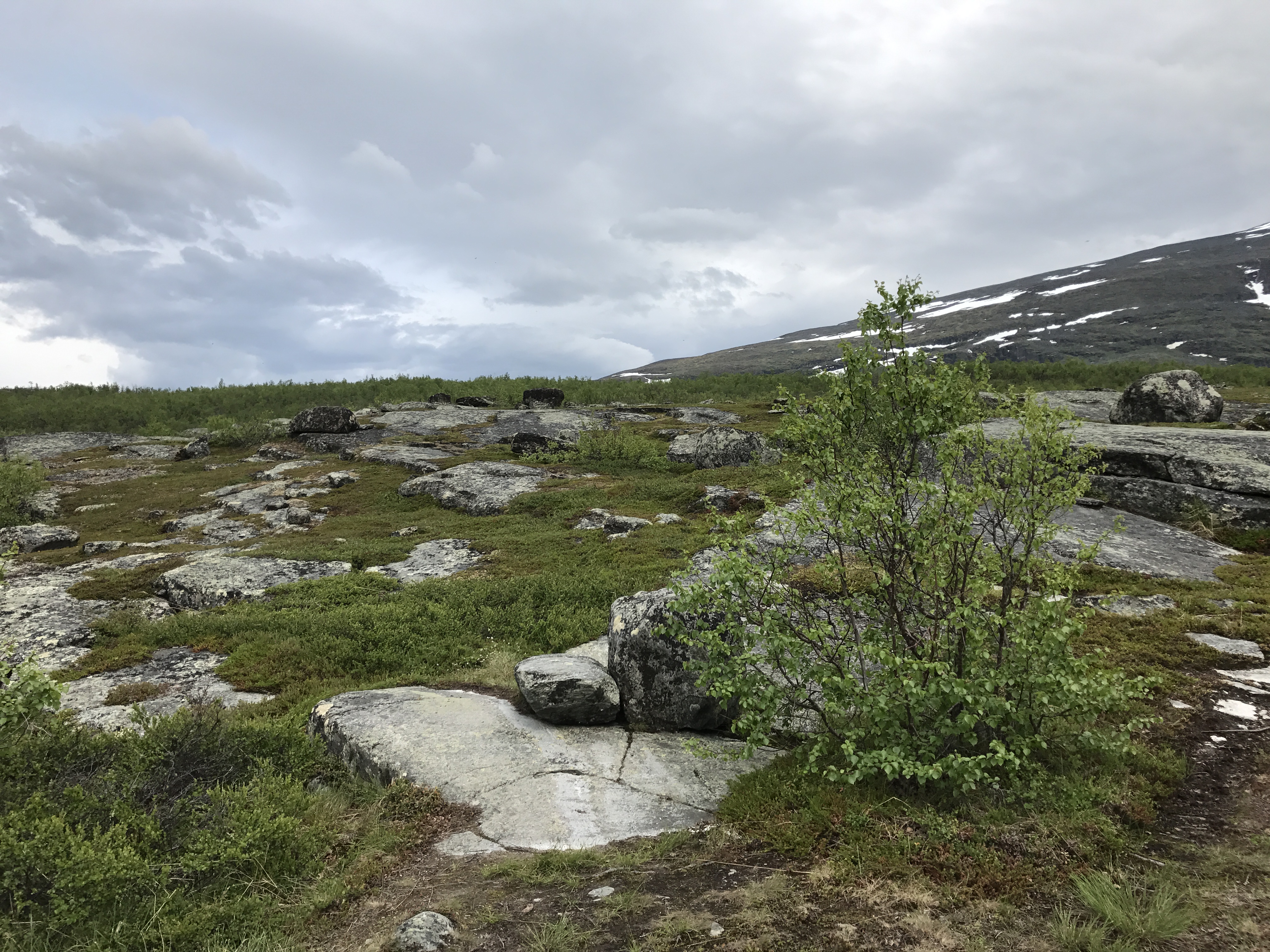
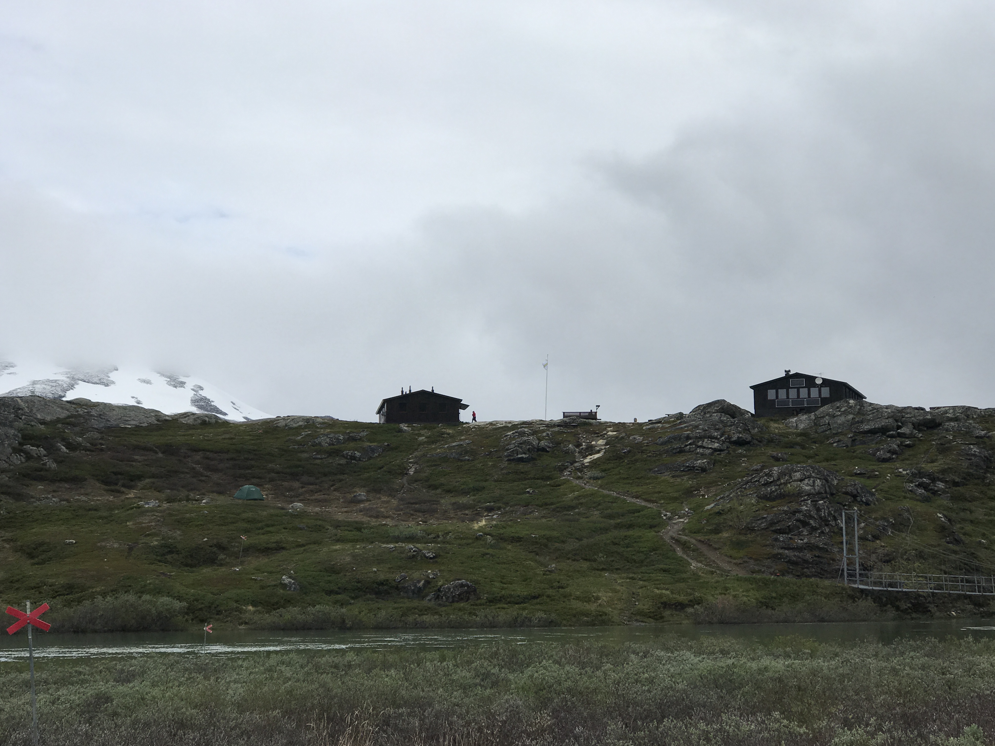
The landscape opened up about halfway through the first day, and we passed through alternating patches of rocky plateau and lower, often boggy, birch forest.We found tenting sites behind the Abiskojaure cabins the first night. On and around the Kungsleden, STF runs a network of huts available for a nightly fee of about 50 USD. The huts range in size, but all have wood stoves, gas burners, pots, and stores with varying supplies of food. Many have saunas available, and I was often tempted to indulge myself. James and I planned to camp each night unless there was particularly bad weather. That first night we got a better idea of the popularity of the trail. About ten other tents had been pitched near the cabins, and there were likely another ten or so people staying in the hut. We tried to get an early start the next morning in hopes that we might get the trail more to ourselves. Our efforts were mostly unsuccessful — we must have passed at least 20 people on our second day on the trail.

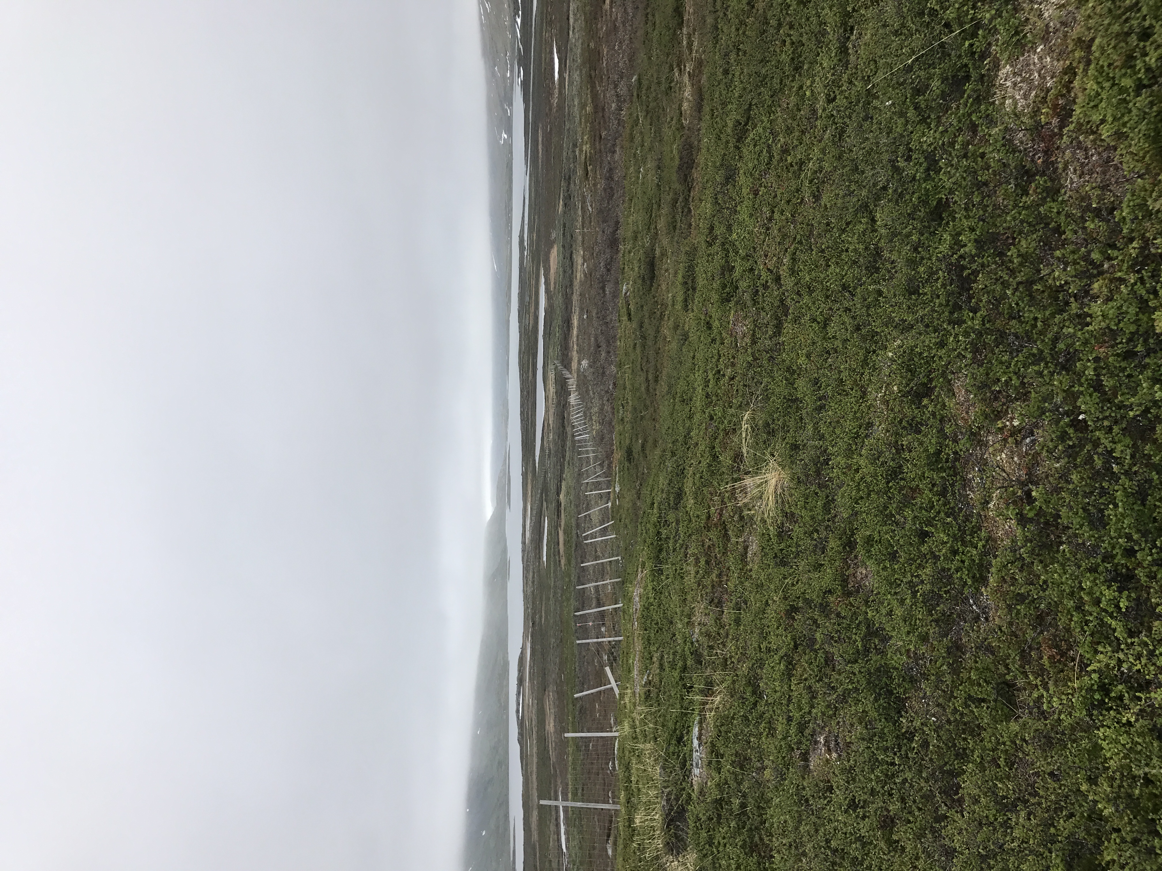
We had seen rain on the forecast for the second day, and Sweden delivered. We climbed that morning to a big plateau, where we saw some little buildings in the distance. The Sami people herd reindeer in these mountains, and stay at dwellings like those. However, the use of dirt bikes, snowmobiles and helicopters for herding have allowed an increasing number of Sami to spend more time working traditional jobs elsewhere. Before descending from the plateau, we passed this long wire fence which I assume is for herding.

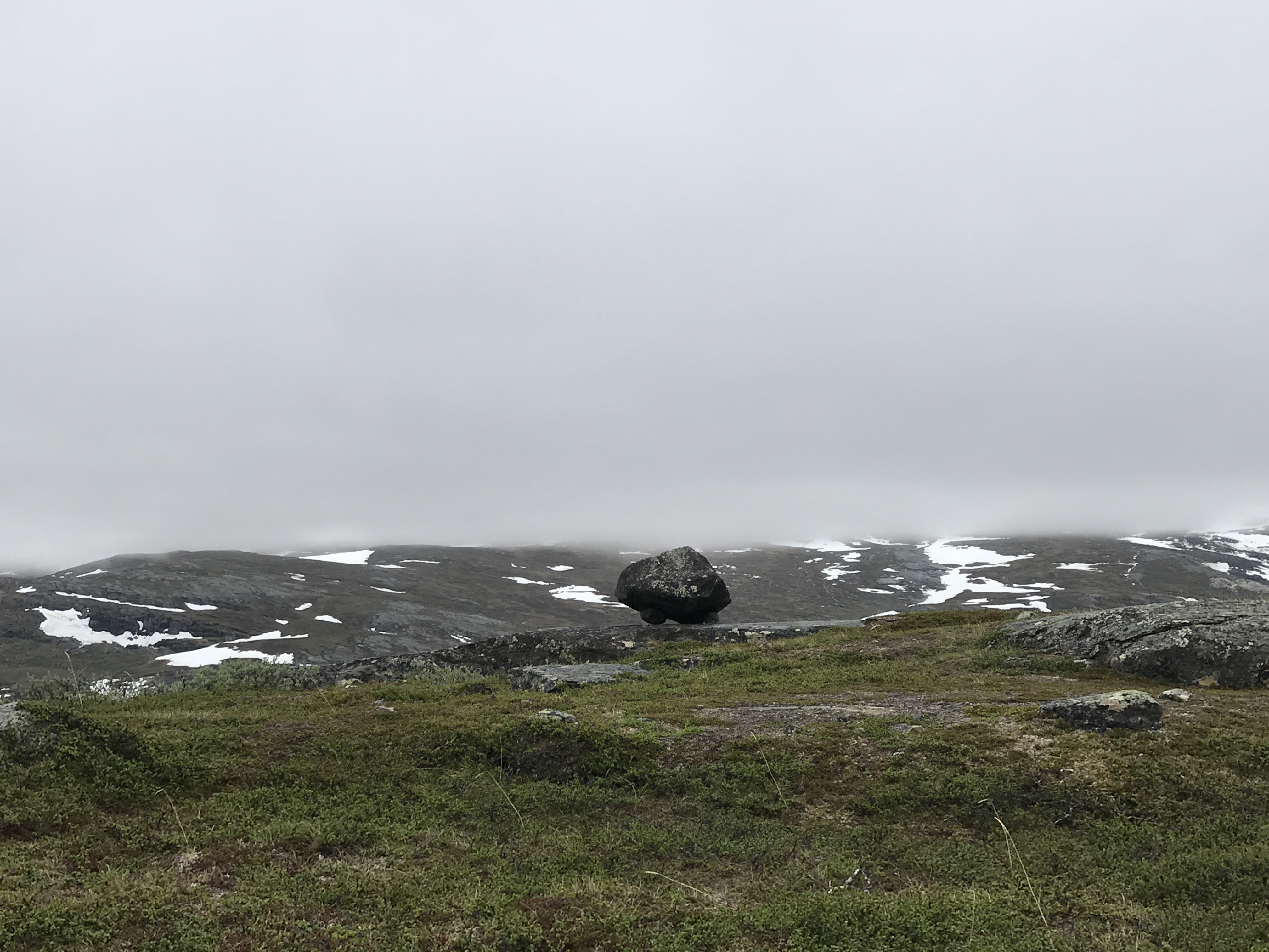
Impressive balancing! I can’t imagine assembling this cairn.
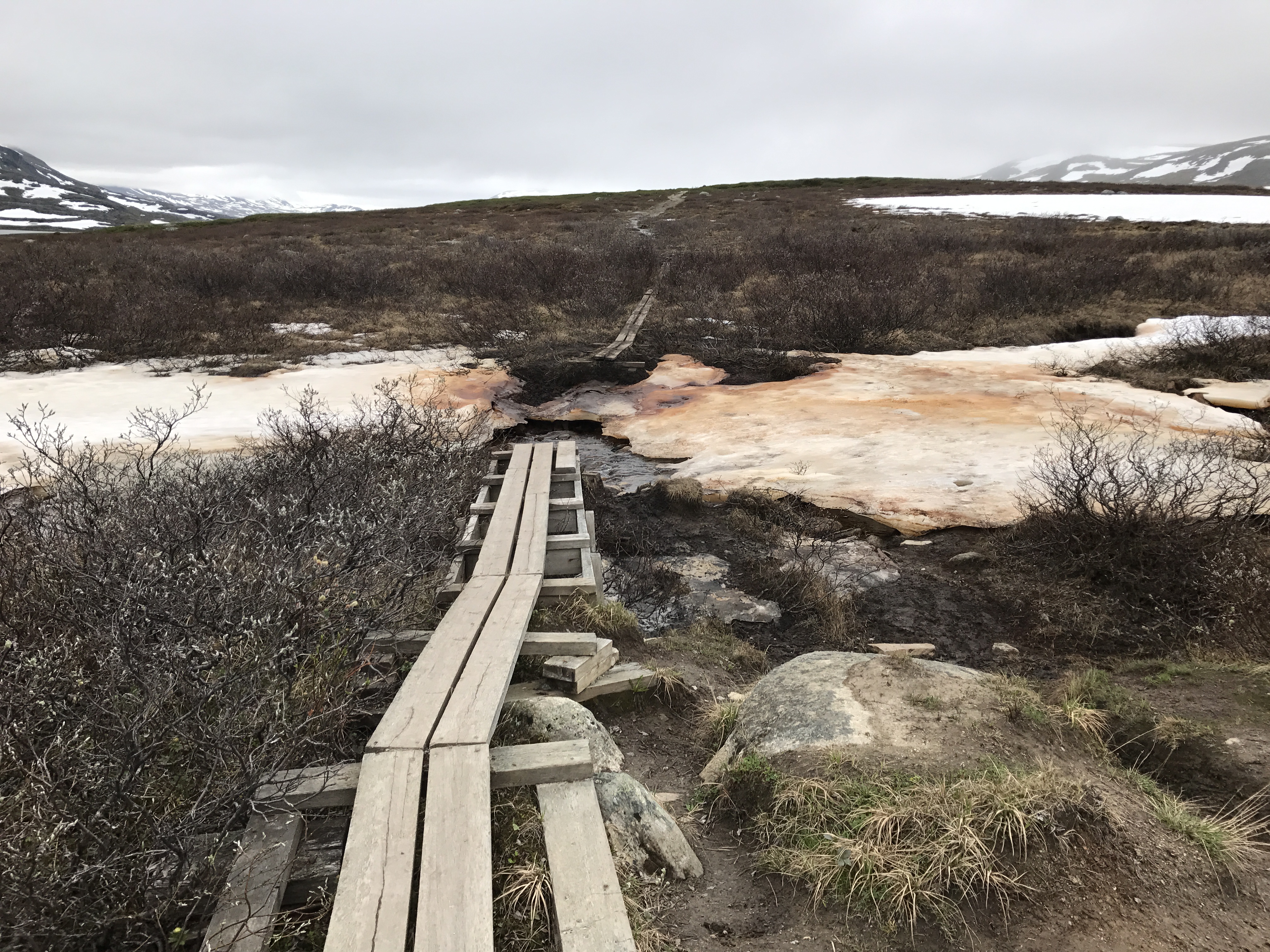
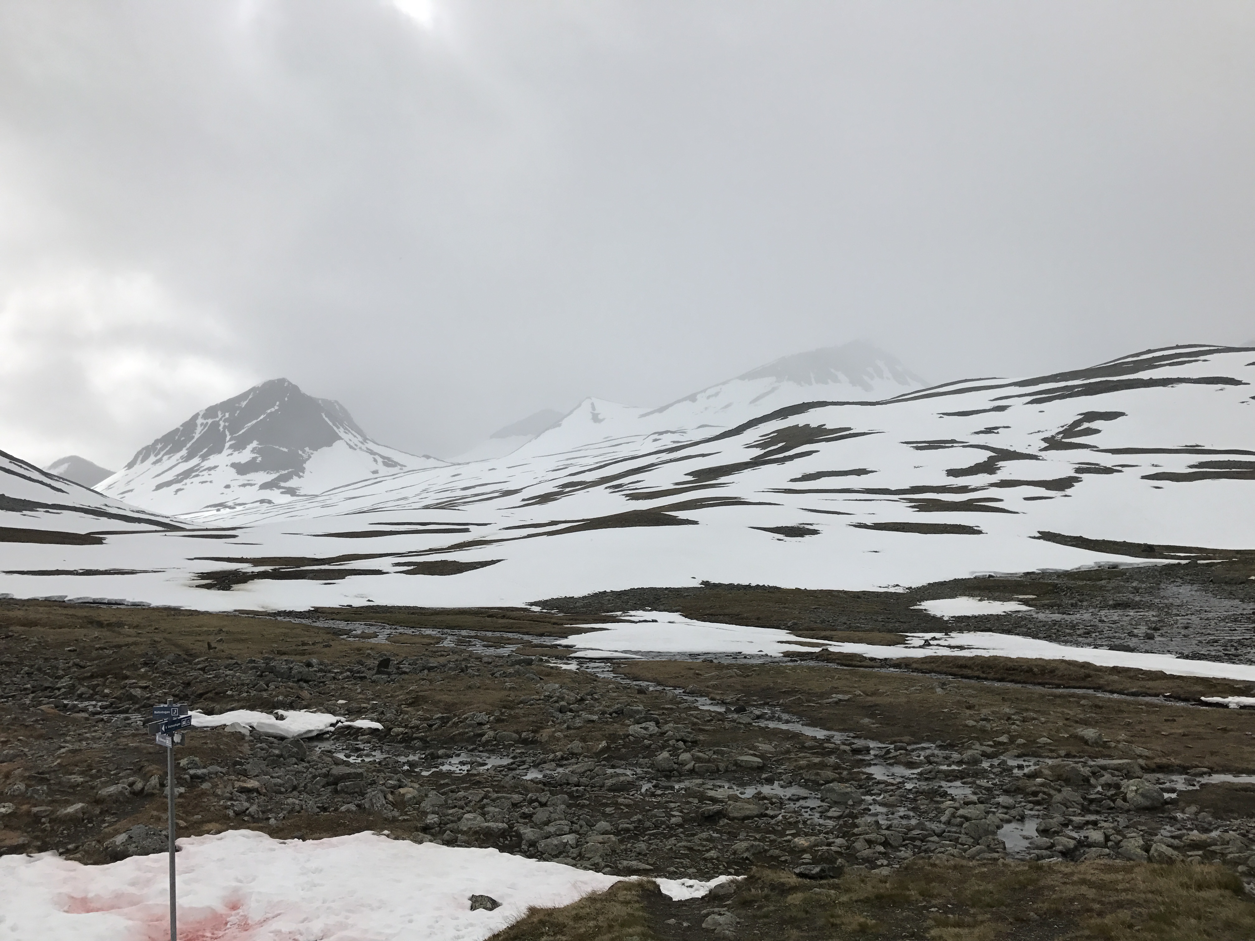
Wooden boardwalks like these were plentiful and kept us out of the muddy trails (which sometimes became small streams). I was impressed by how well the trail was maintained, although maybe that should be expected on such a popular section. I think the red hue on the snow was from iron deposits.
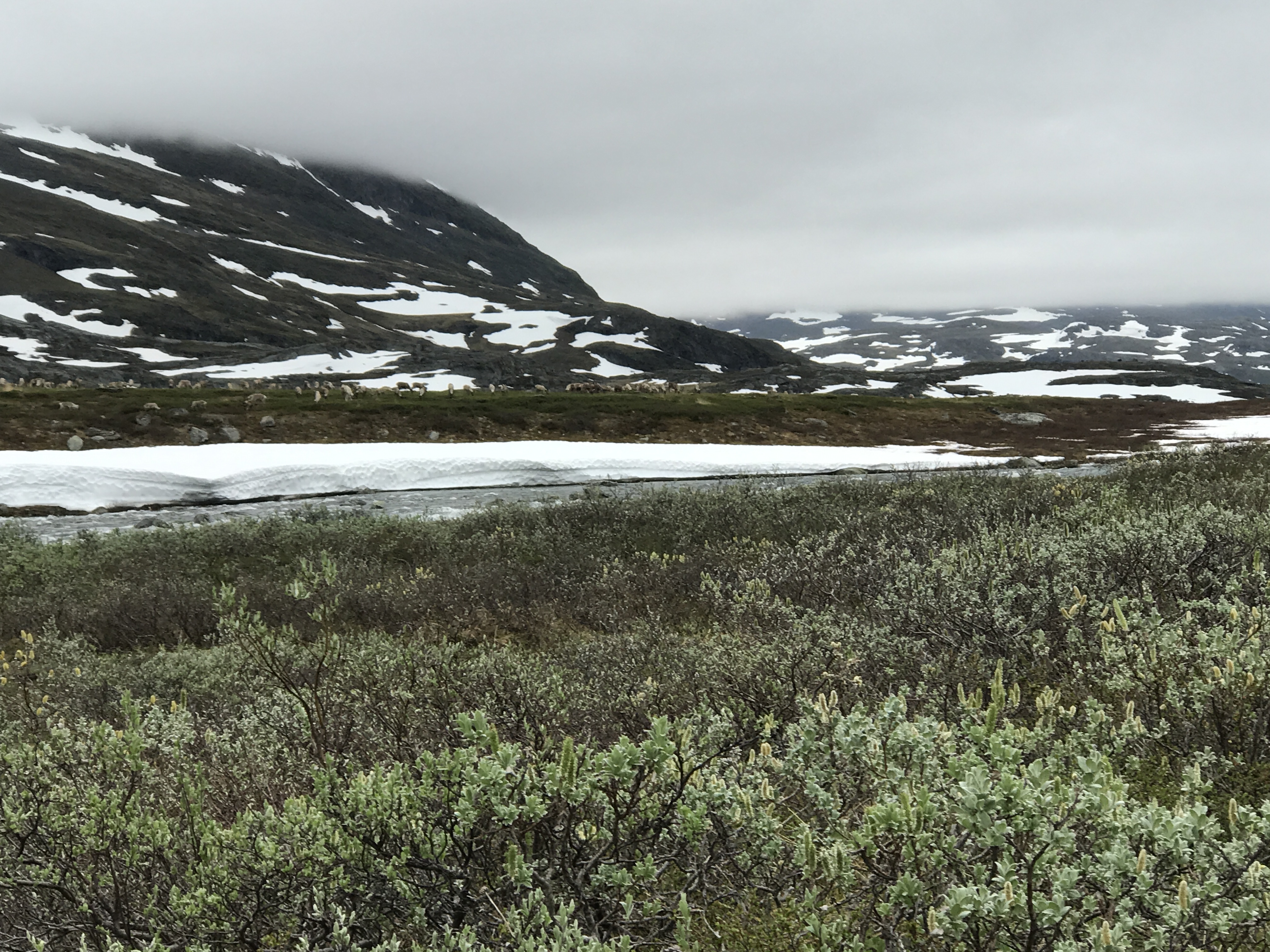
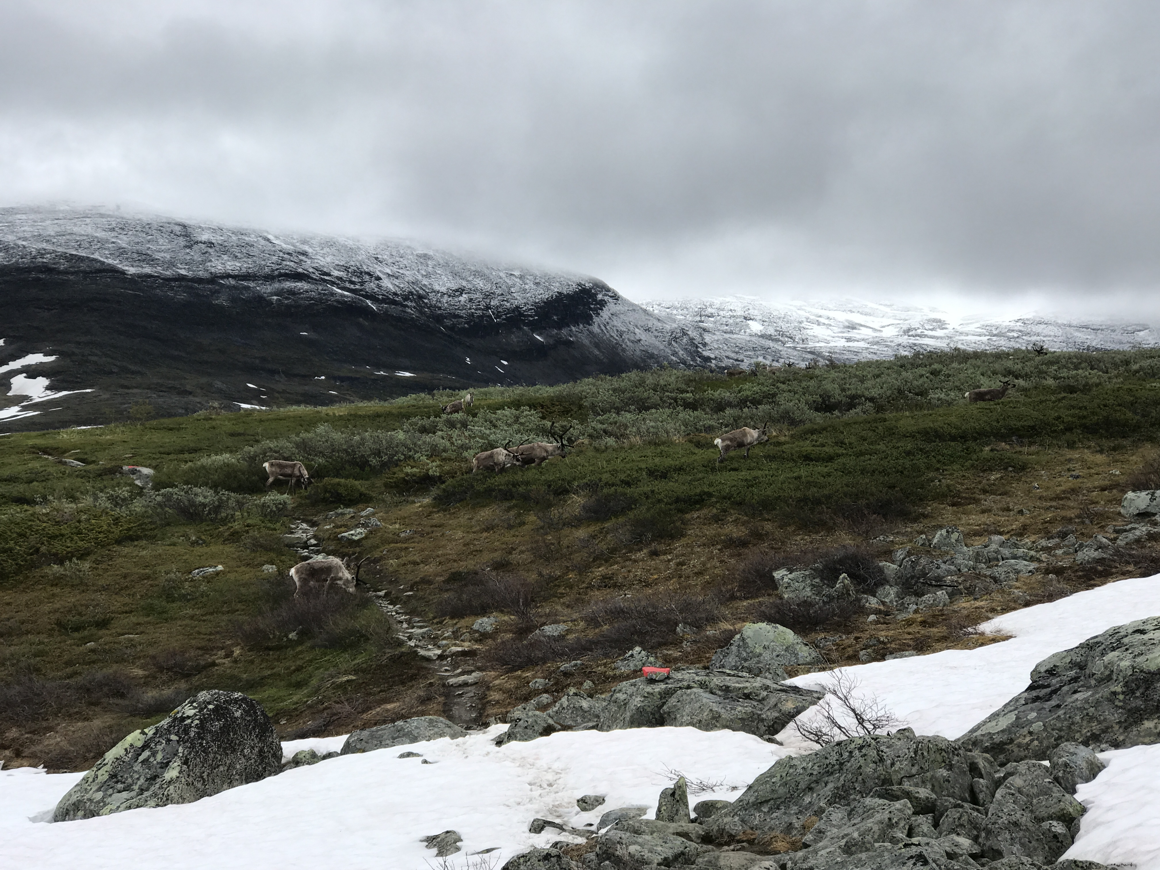
A herd of reindeer across the river.
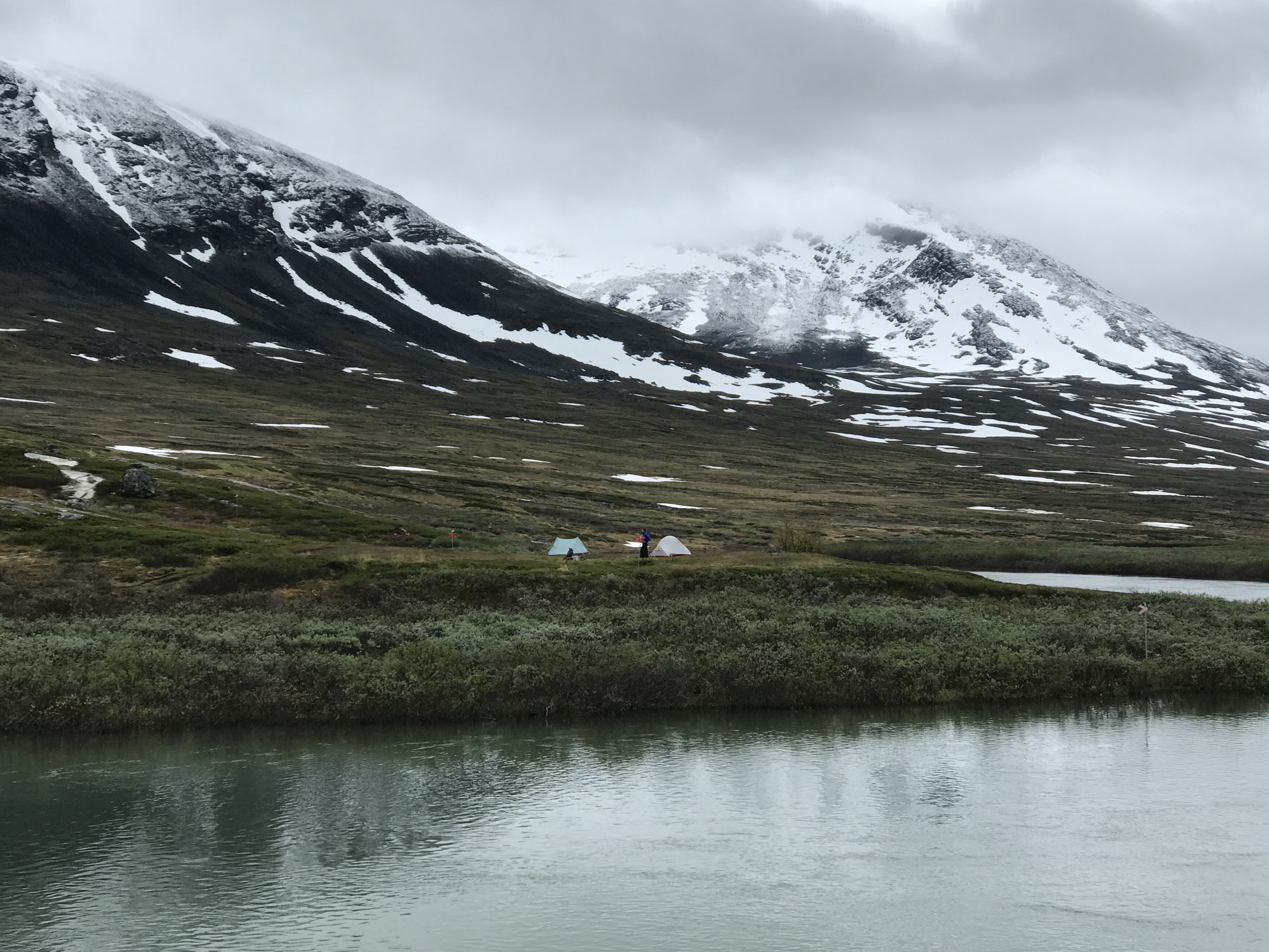
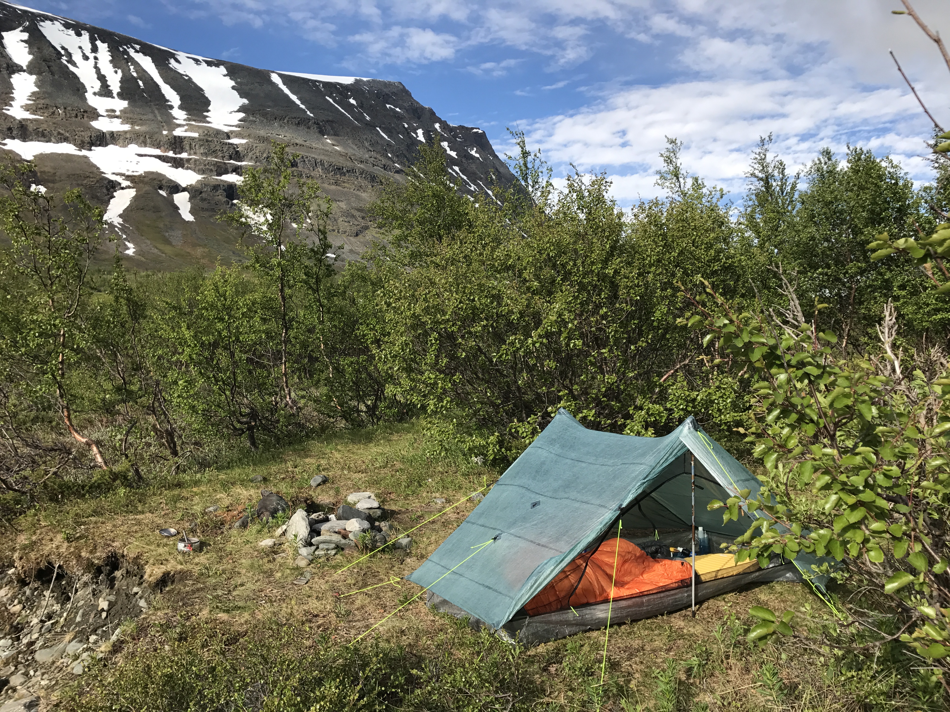
It rained for most of the second day, and we considered staying in the huts to dry off. The dedicated “drying room” was enticing. I’m glad we decided to tent camp — the view was incredible from our site across the river from the Alesjaure huts, and I stayed dry and warm enough.
I added 4 extra guy-lines since our campsite was so exposed. It was windy, but with a taut pitch I didn’t notice any flapping.
Our site in the morning from the Alesjaure huts. Overnight fresh snow fell in the mountains overnight, and it rained hard for most of the night at our elevation.
That morning we left the crowds behind and headed down Vistasvaggi. Within the first half hour on the trail we came across a herd of reindeer blocking our path. Once they sensed our presence, they moved out of the way, although a few bucks lagged back for a minute.
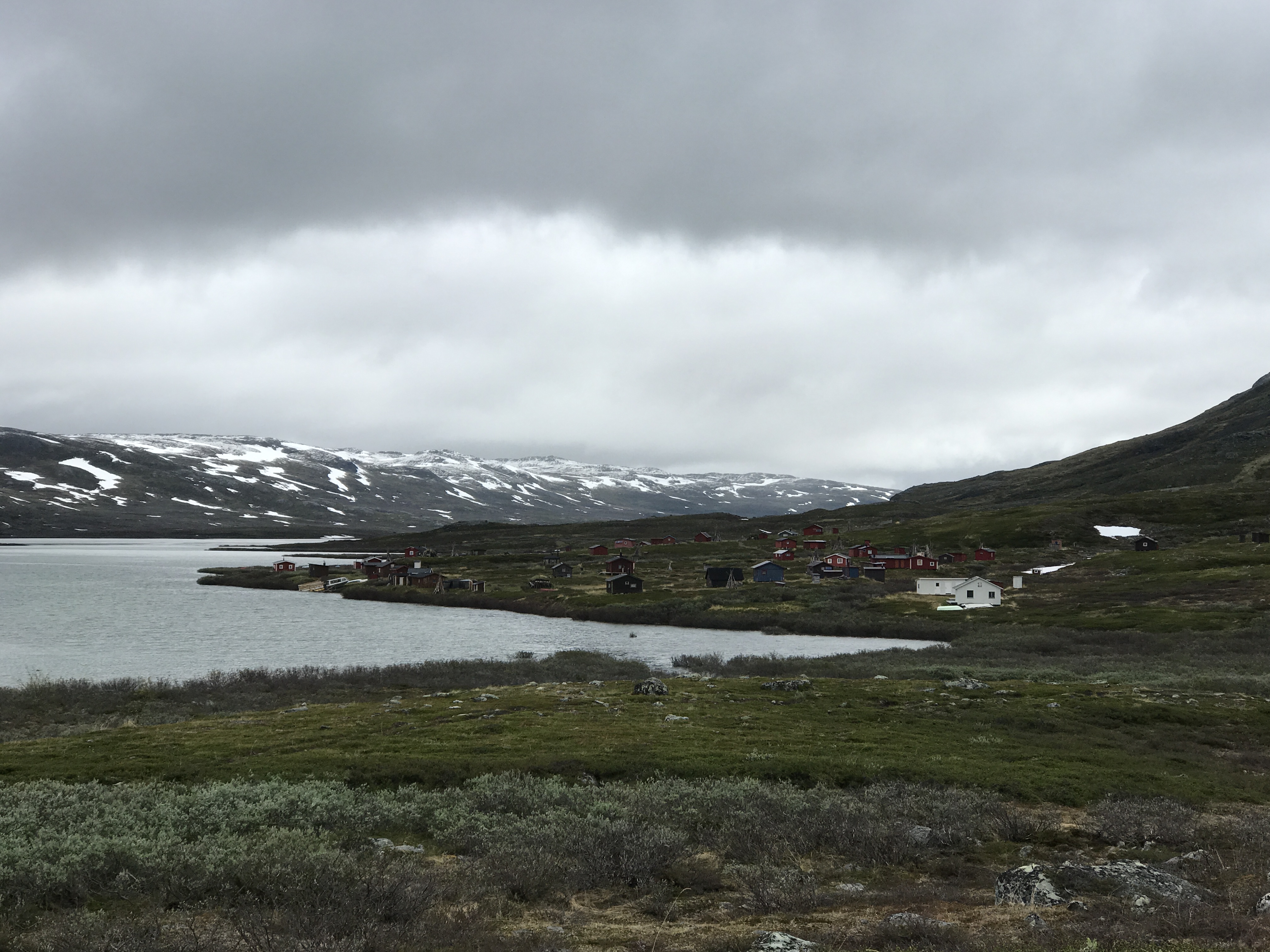
A larger Sami village. The Alesjaure hut warden had told us that the village was currently uninhabited, but that the Sami would be back soon, to divy up and tag reindeer I think.
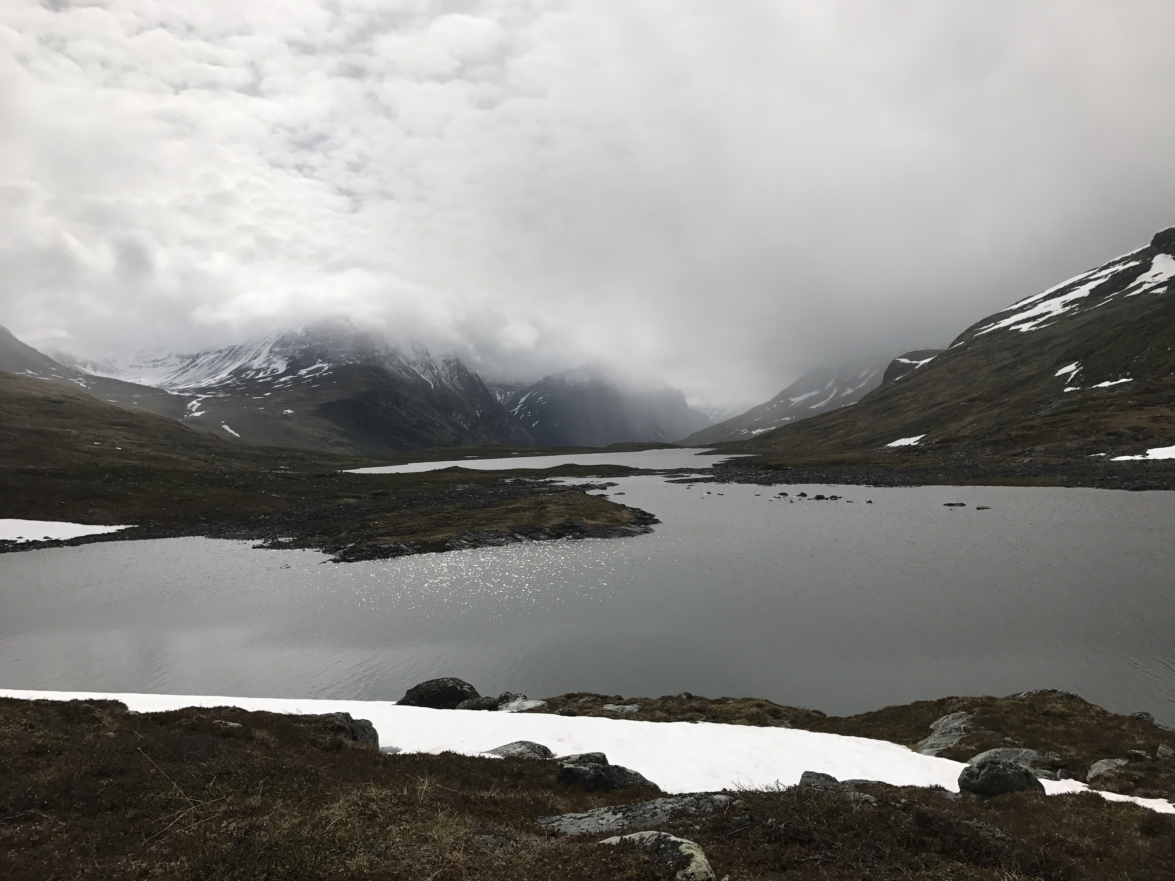
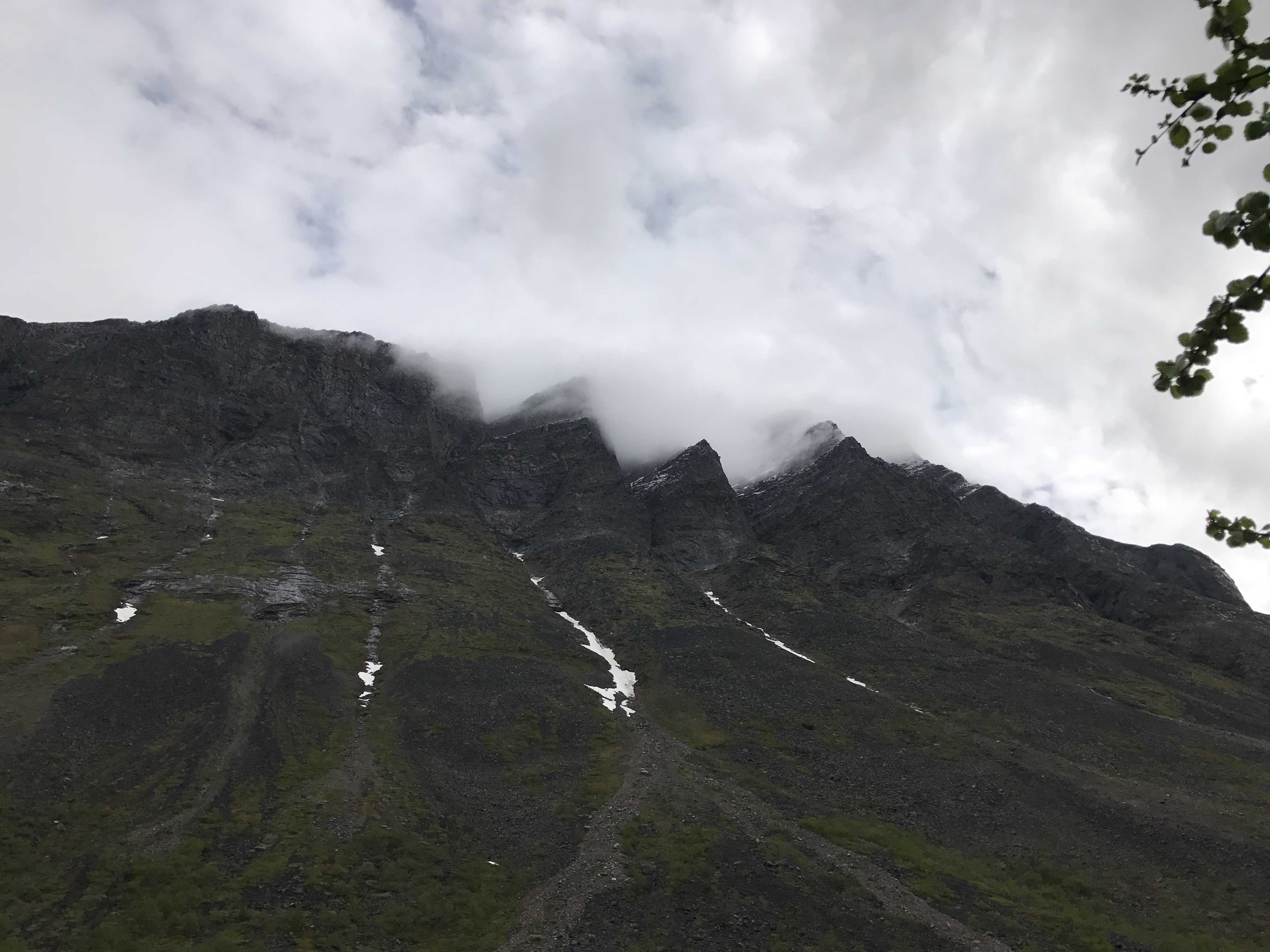
Clouds descending on Vistasvaggi.

Crossing the suspension bridges one by one eliminated the unnerving and sometimes fun trampoline effect.
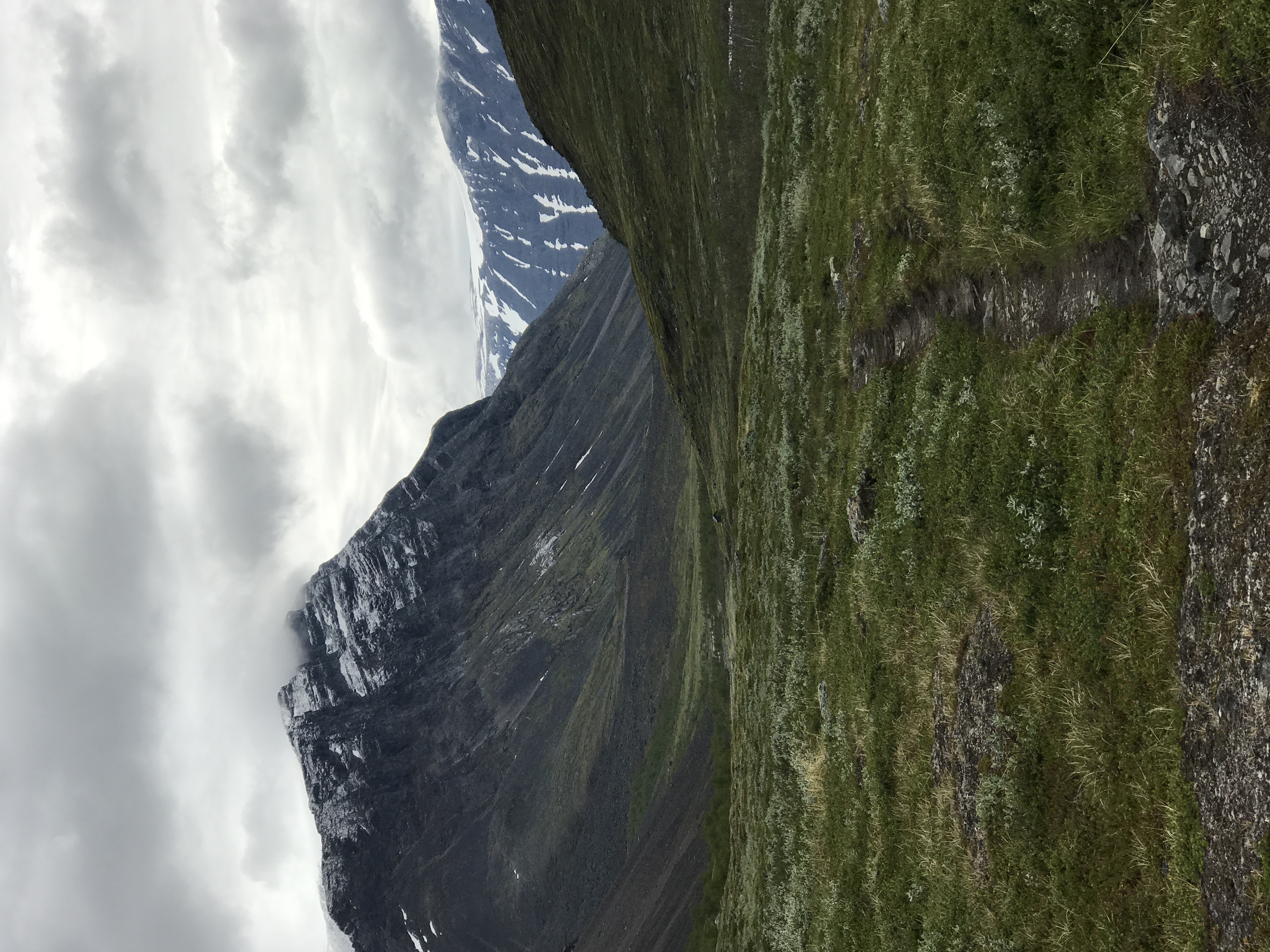
Looking down Vistasvaggi. The Vistas hut where we planned to finish the day is on the other side of the mountain on the left.
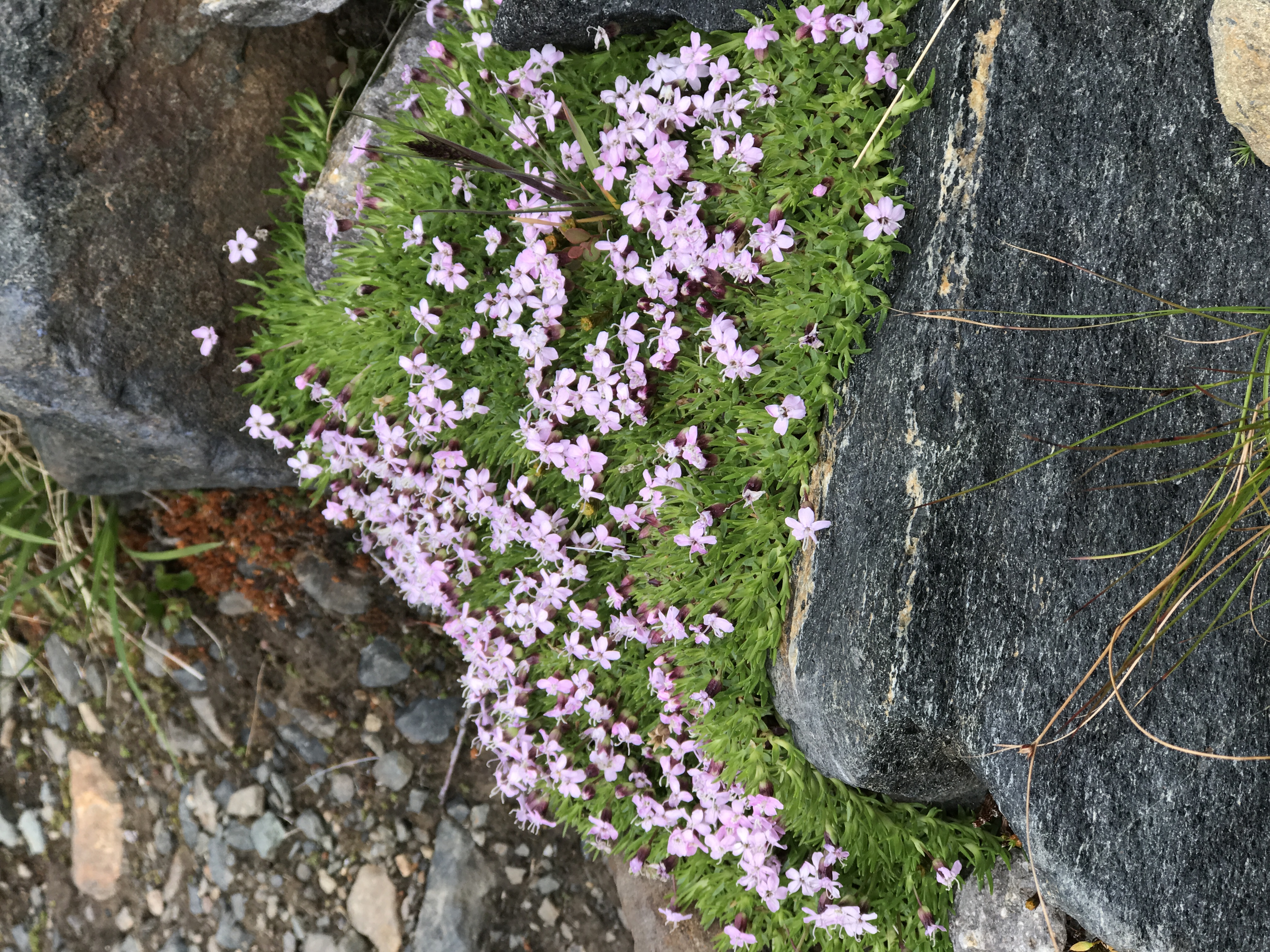
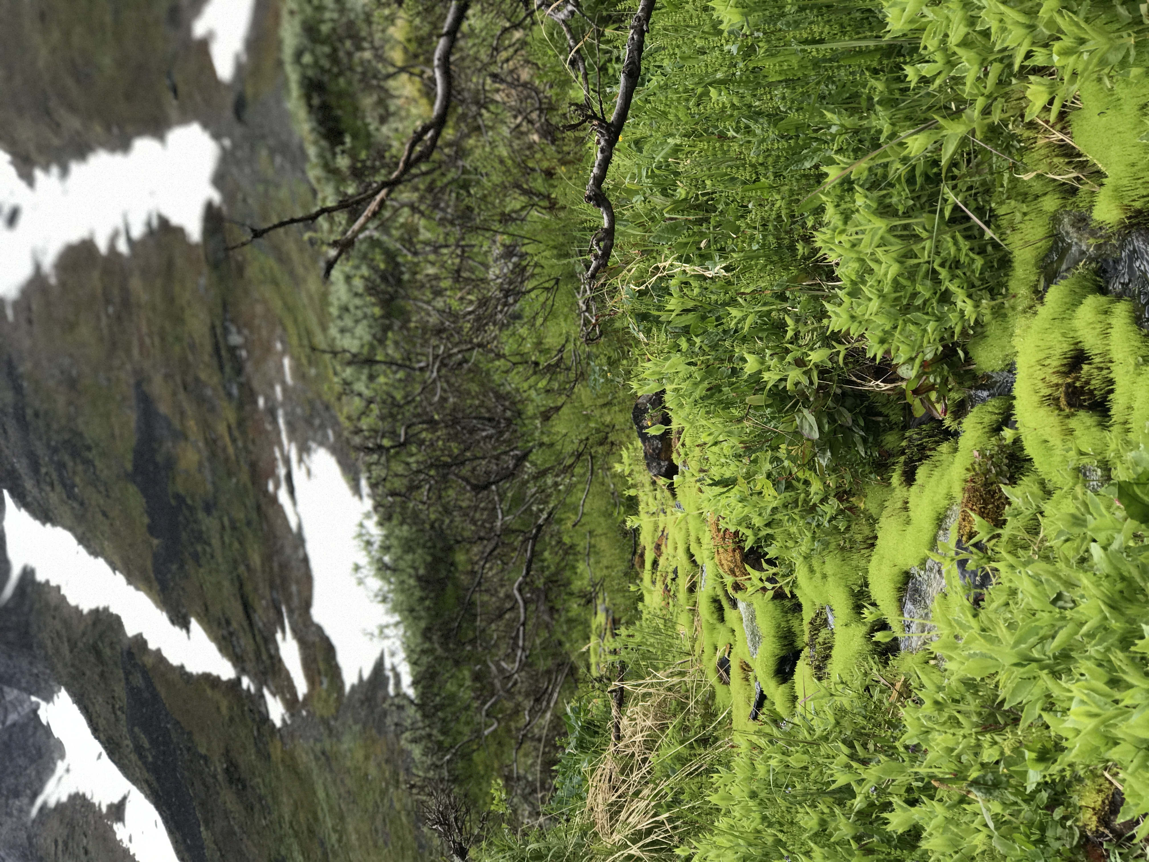
Wildflowers.
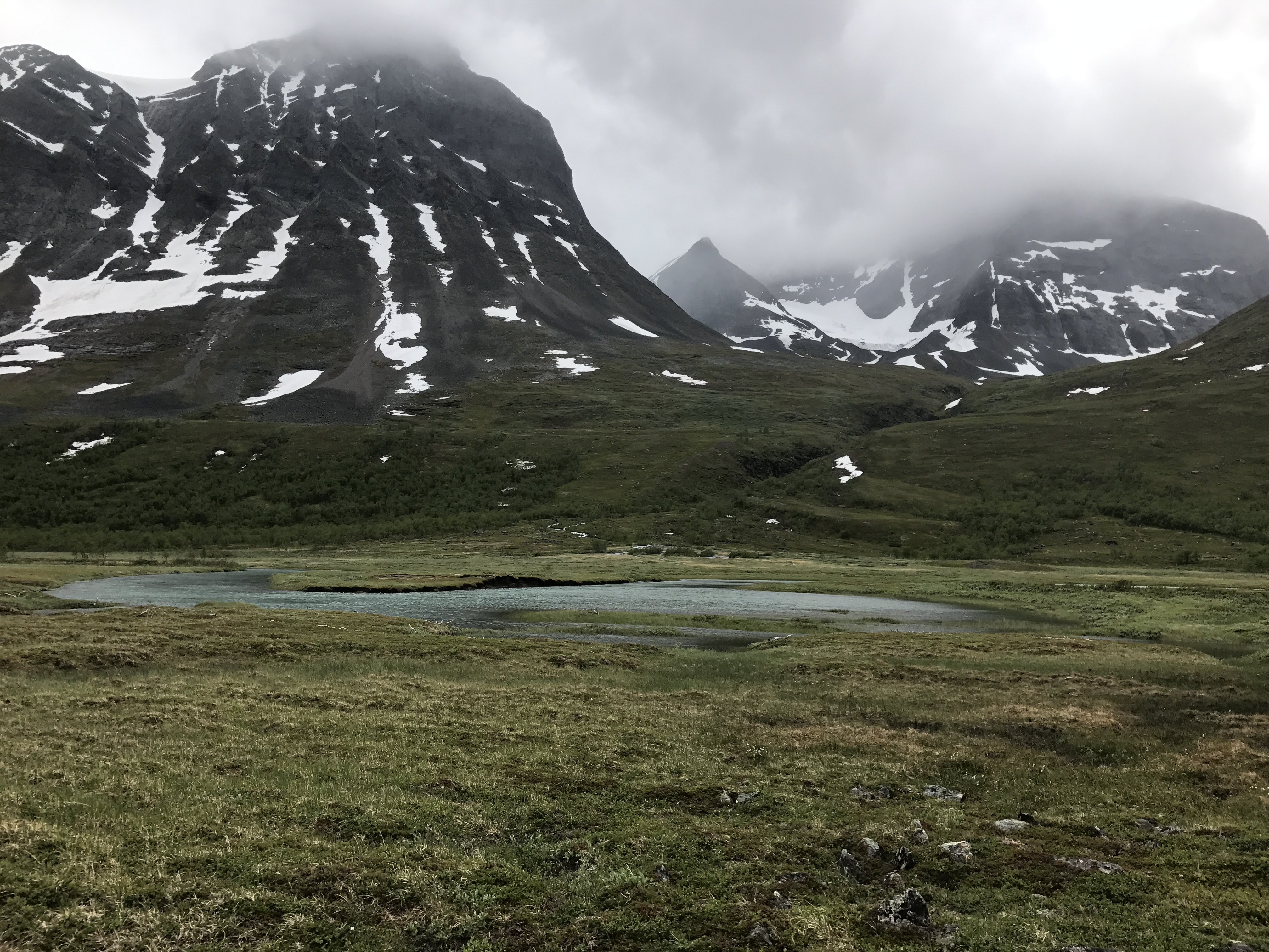
Mountains cradling Vistasvaggi. On our fourth day, we left the majority of our gear with the Vistas hut warden, and took a day hike up to the Nallo hut. Gunnar had recommended this day trip, given that hiking down Vistasvaggi was a day shorter than our original route.
Peeking into Stuor Reaiddavaggi, the valley leading to Nallo.
A hint of color in the otherwise barren, overwhelmingly gray landscape.
Sleety snow fell as we hiked up to Nallo, and a cup of hot “syrup” offered by the Nallo hut warden was a welcome treat. The hut warden’s toddler son instructed James and I to help move firewood near the wood stove. He spoke only Swedish, but still managed to get his point across pretty well.
Sun and clear skies arrived the next morning, a stark contrast to the previous day’s snowy landscape.
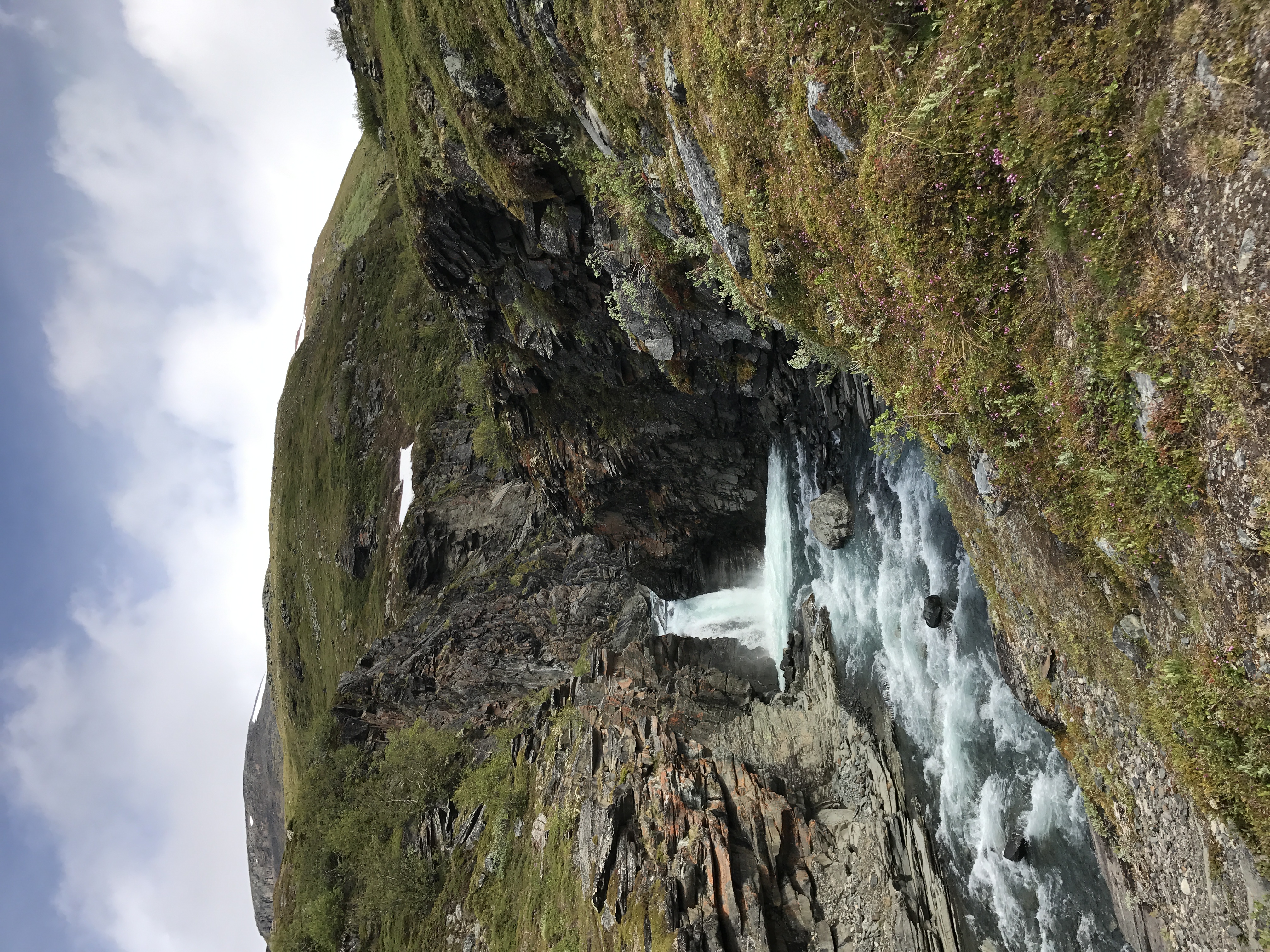
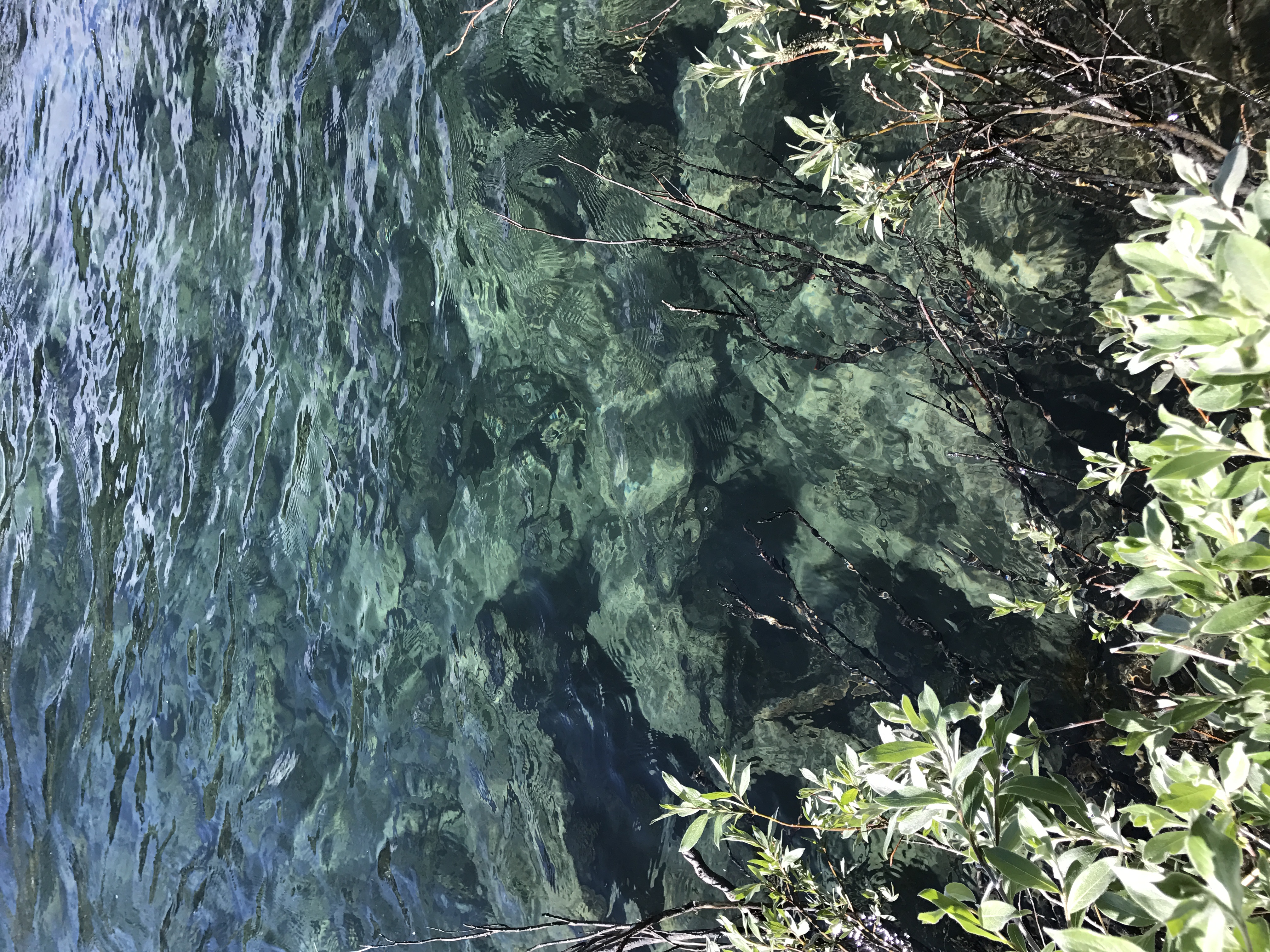
It’s hard to tell from this photo, but the water here was five or six feet deep, but clear enough to see easily to the bottom. Most people drink straight from the streams, but we elected to use filters for some added peace of mind.
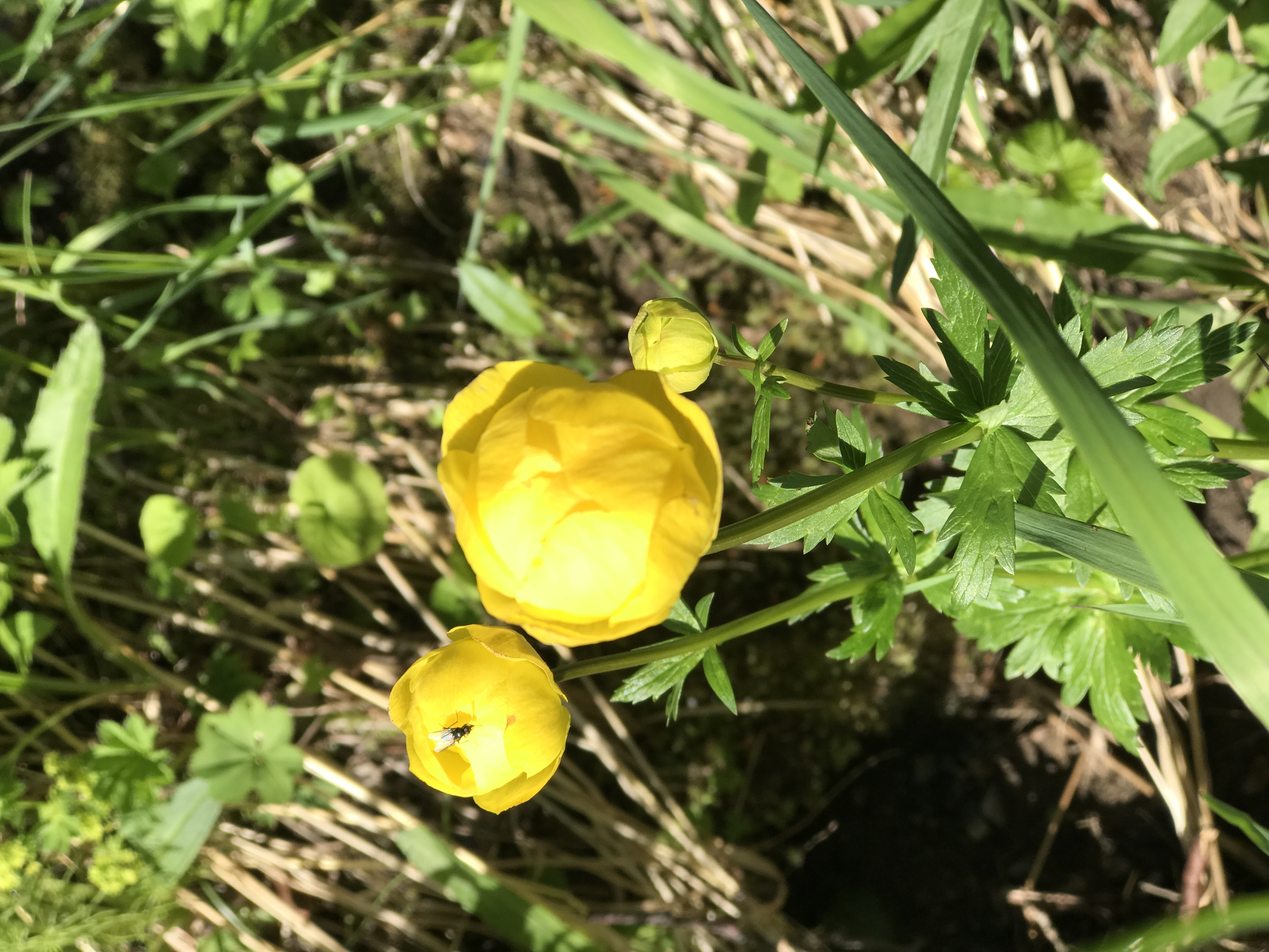
Globe-flowers (Trollius europaeus) I think.
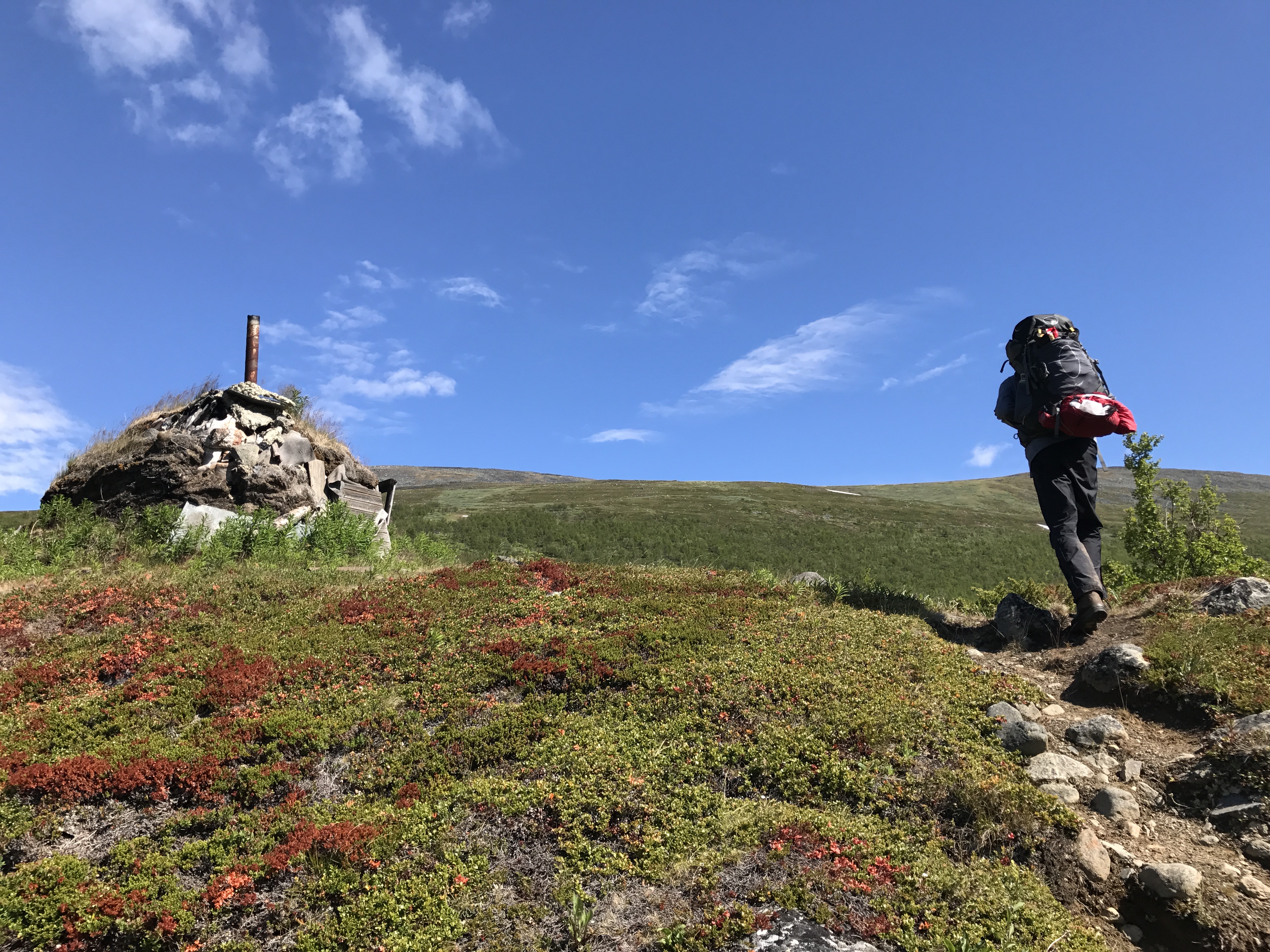
Another Sami structure, constructed from birch wood and assorted junk.
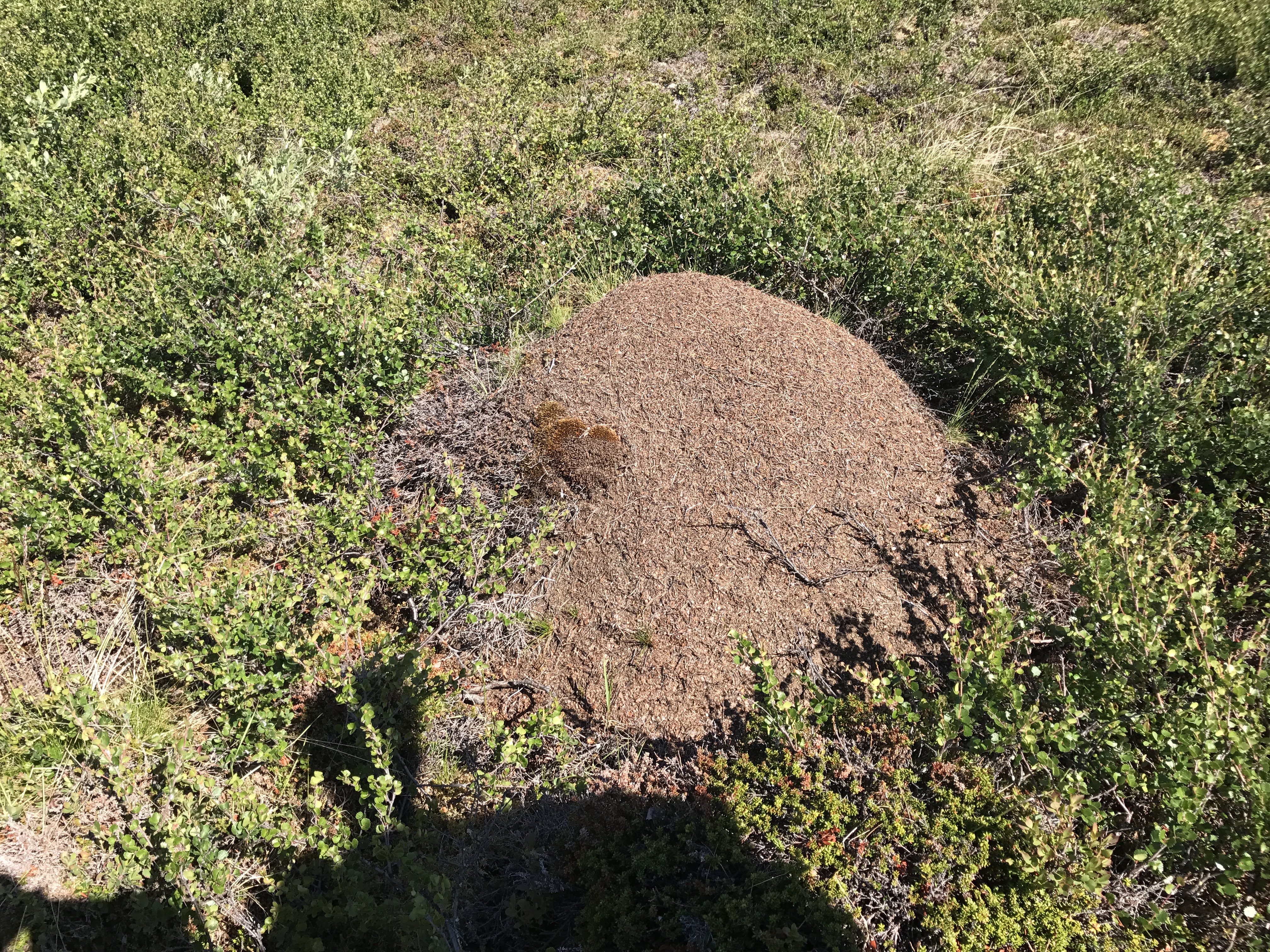
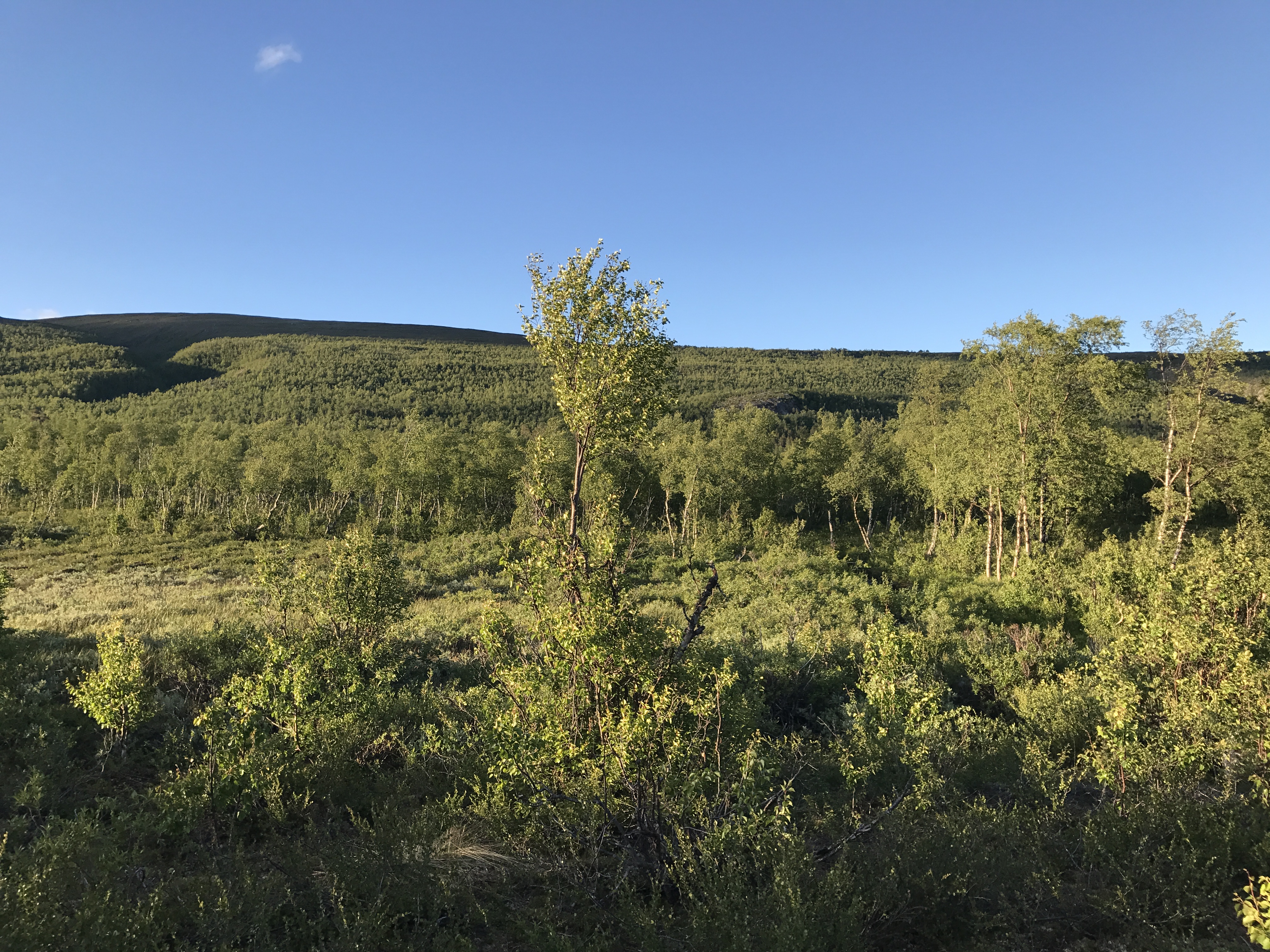
Ants and their homes were everywhere in the lower elevation, dry fields we walked through. They used the trails and wooden boardwalks as highways.
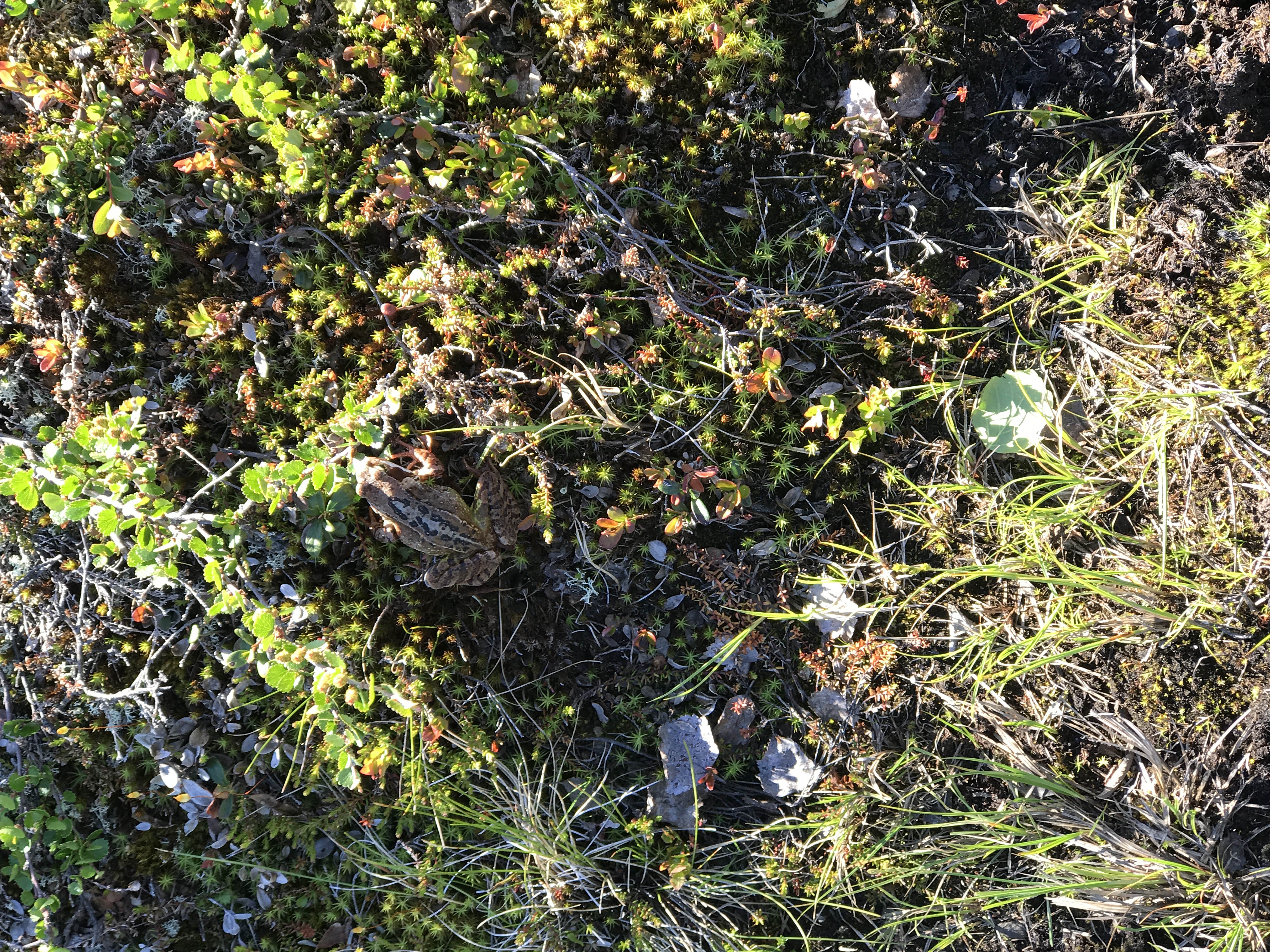
Toad (or frog?) sighting.
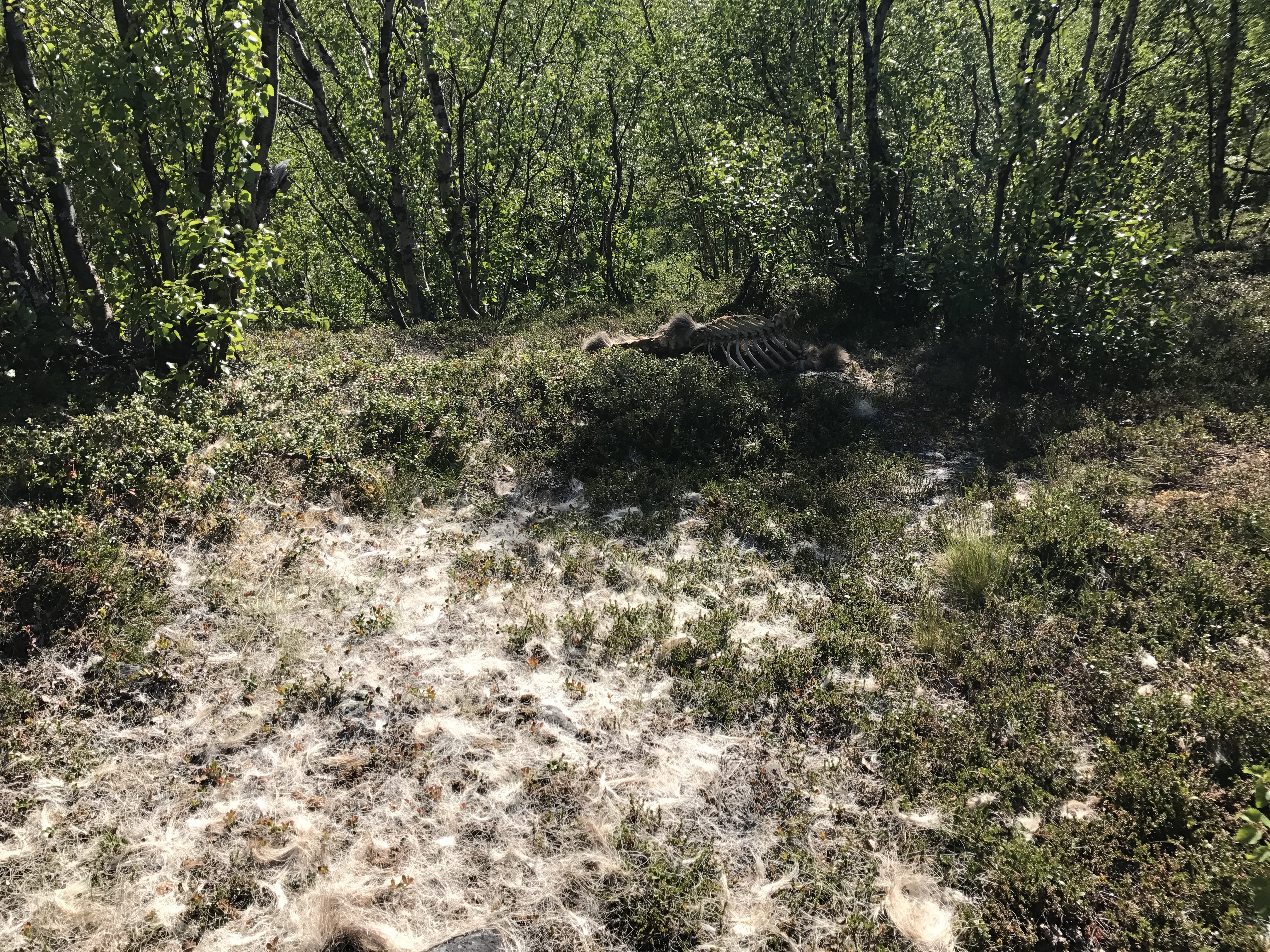
Near our final campsite, we spotted the scattered fur and carcass of a reindeer, likely killed by a Sami.

Around 9:30 PM, the sun is still plenty bright. Since we were above the arctic circle, the sun never set during our hike. We brought “ultralight” face masks along, but I found that I preferred just cinching the hood on my mummy bag.
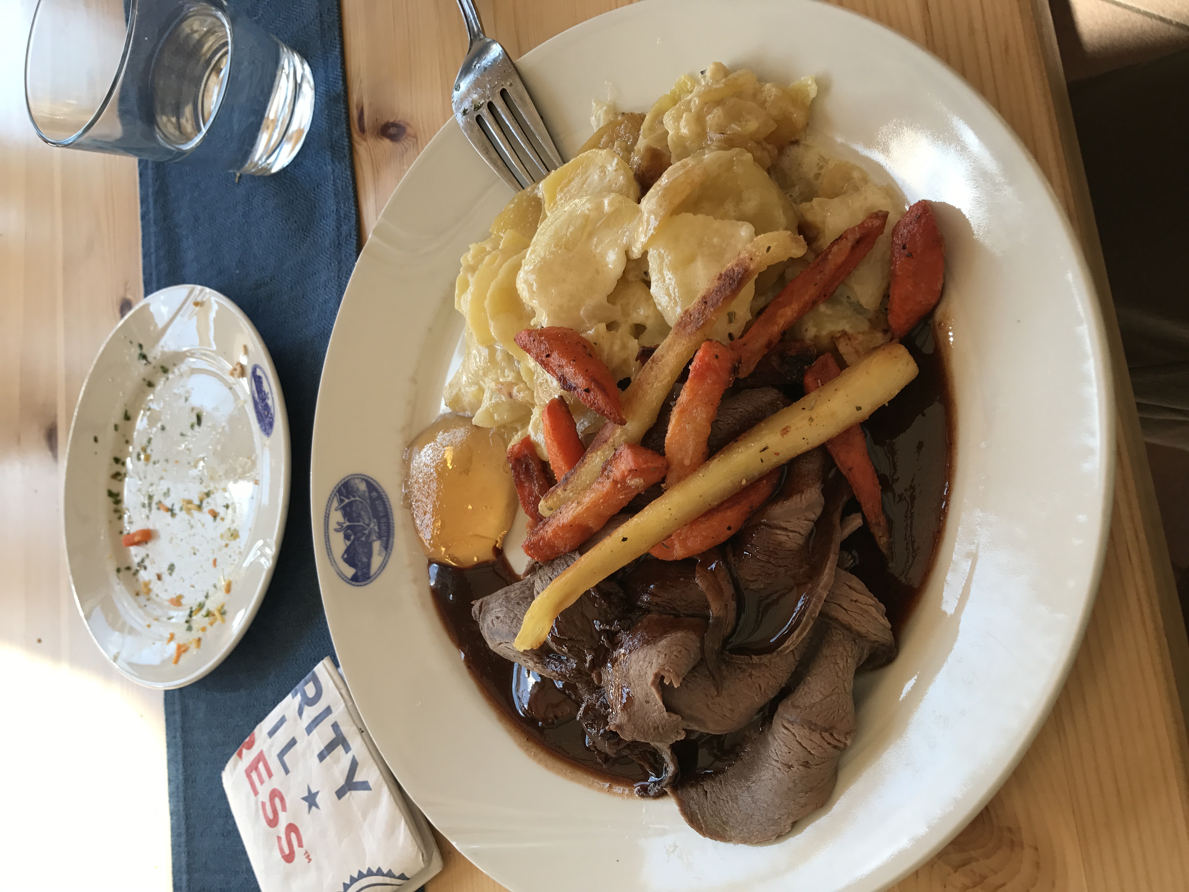
Celebratory moose steak in Nikkaluokta after a successful hike. It was okay.Aug 6, 2017 at 3:42 pm #3483378My images were correctly orientated on Dropbox, where they’re being hosted for this post. If anyone knows how to fix the orientation in this post, I’d appreciate some help!
Aug 6, 2017 at 7:45 pm #3483426You guys just graduated from high school? I’m impressed! From the planning, the hike, and the quality of the narrative my hat’s off to you.
Aug 8, 2017 at 8:34 am #3483741Thanks Nick, appreciate it!
Aug 10, 2017 at 7:22 am #3484142Myles, I found your report now when temporary within mobile reach at Kebnekaise mouintain station, the photos doesnt seem to download right fot me, I will look at it again when I am back home.
Aug 11, 2017 at 9:25 am #3484350Glad you found it, Gunnar. Enjoy your time in Lapland!
Aug 19, 2017 at 7:18 am #3485953Myles, thanks for the report, very well written! Very interesting to read someone experiencing our mountains for the first time.
I am glad you enjoyed the experience. I can (again) assure you that didn’t take the second best option by choosing Vistas + Nallo, even though the part of Vistasvalley closest to Nikkaloukta is wide with forest. Kungsleden follows the very wide Tjäktjavagge in the areas you skipped, and you don’t really get the contact with the mountains in the way that I hope you experienced walking to Nallostugan.
I hope you enjoyed Stockholm as well.
Aug 21, 2017 at 2:20 pm #3486309Thank you Gunnar, I am so glad I explored Vistasvaggi and Stuor Reaiddavaggi. The lower sections of Vistasvaggi were certainly less dramatic than the rest of the trail, but I really appreciated the diversity of the scenery along the route. I hope to make it back to Sweden again soon!
Sep 6, 2017 at 1:25 am #3489291Thanks for sharing! Great photos and text.
-
AuthorPosts
- You must be logged in to reply to this topic.
Forum Posting
A Membership is required to post in the forums. Login or become a member to post in the member forums!
Our Community Posts are Moderated
Backpacking Light community posts are moderated and here to foster helpful and positive discussions about lightweight backpacking. Please be mindful of our values and boundaries and review our Community Guidelines prior to posting.
Get the Newsletter
Gear Research & Discovery Tools
- Browse our curated Gear Shop
- See the latest Gear Deals and Sales
- Our Recommendations
- Search for Gear on Sale with the Gear Finder
- Used Gear Swap
- Member Gear Reviews and BPL Gear Review Articles
- Browse by Gear Type or Brand.

