Carson-Iceberg Wilderness- East Fork Carson River to Clark Fork Drainage
- This topic is empty.
Viewing 4 posts - 1 through 4 (of 4 total)
- You must be logged in to reply to this topic.
Topic
A Membership is required to post in the forums. Login or become a member to post in the member forums!
Home › Forums › Campfire › Trip Planning › Carson-Iceberg Wilderness- East Fork Carson River to Clark Fork Drainage
Some of the older USFS maps show a trail that goes from the PCT along the East Fork Carson River West over to the Clark Fork Drainage.
HIking on the Clark Fork side (cross country), I have never seen this trail. I have not been down the PCT North to the Carson River and wondering whether the trail is visible or not?
Has any one seen it? I am trying to plan a short loop loop from the St Mary's Pass TH, down into the Clark Fork, perhaps as far as the Clark Fork meadow, climb Stanislaus Peak, and then hike (East) back to the PCT, then south to the Sonora Pass TH.
Thanks
My nat geo map shows the trail. I've not seen it in person though. Looks like a real nice loop.
We haven't hiked St. Mary's Pass for about ten years, but I don't remember there being much of a trail once you get to the pass itself—we climbed SOnora Peak from there…
and we've hiked up Clark Fork Trail from the Iceberg, and the trail peters out along there as well…
But it's pretty hard to get lost in that area. It's all one canyon, and you can clearly see where St. Mary's Pass is…even if you may have to go XC for part of the route.
YOu can also get to the PCT from the BOulder Lake trail–quite a good and easy trail to follow
There is a fine trail from the pass, it follows the crest over to Stanislaus Pk. I haven't gone beyond that, but it looked like one could easily continue along the crest. BTW, there are good springs right on the crest about halfway.
It is much steeper on the east side of the crest. And loose, crappy rock, too. But the PCT is close to the crest further north. I have descended from there to Boulder Lk via the creek running north/south. That required a bit of bush whacking through the willows. The drainage to the east of the lake looks easier.
A Membership is required to post in the forums. Login or become a member to post in the member forums!
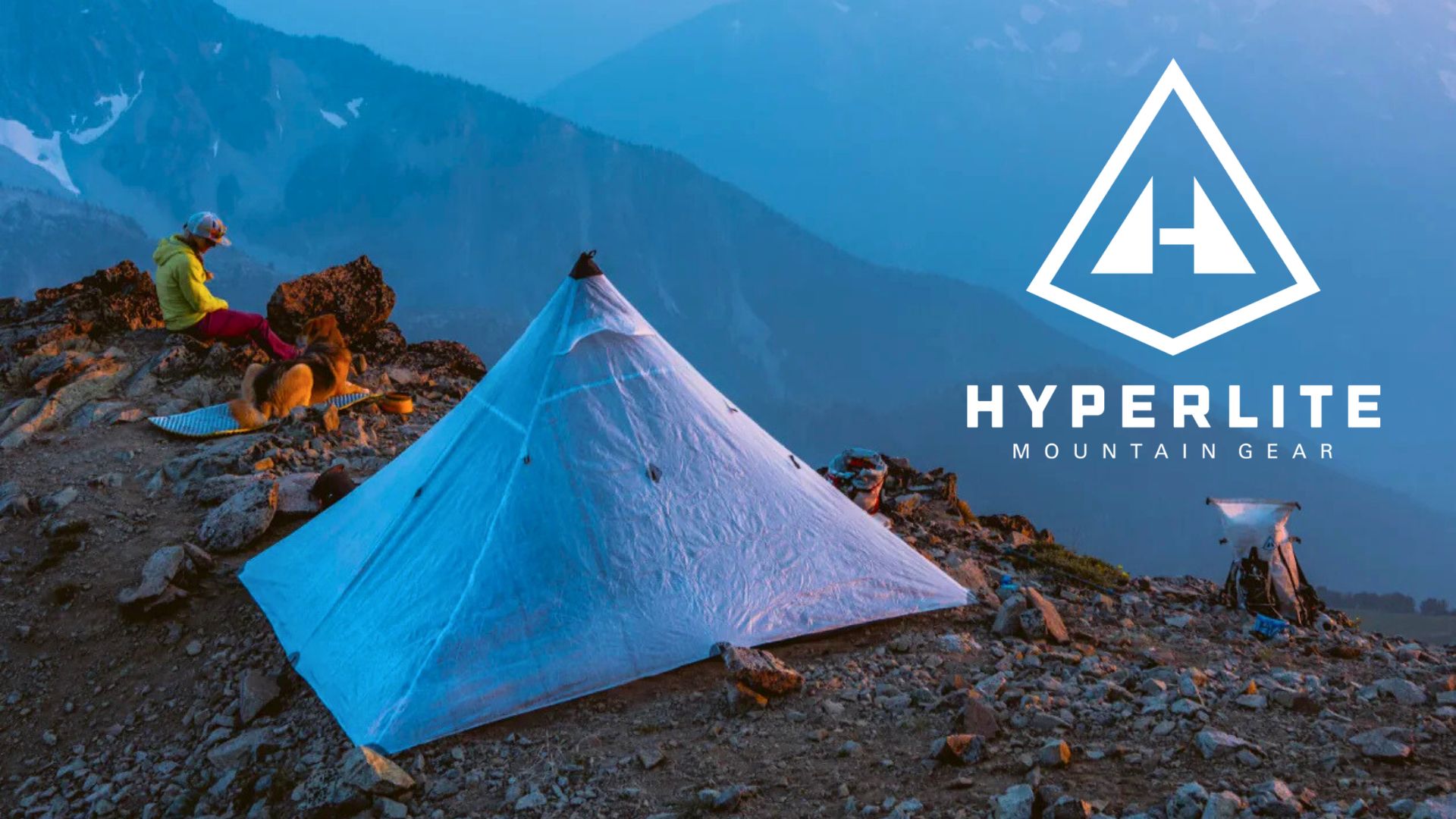
All DCF shelters, packs, premium quilts, and accessories are on sale.
Backpacking Light community posts are moderated and here to foster helpful and positive discussions about lightweight backpacking. Please be mindful of our values and boundaries and review our Community Guidelines prior to posting.
Backpacking Light helps hikers and other backcountry enthusiasts overcome their barriers to living a life outside in Wild Places.
Inform. Educate. Inspire. Learn more
Get Backpacking Light news, updates, gear info, skills, and commentary delivered into your inbox 1-2x/week.
+1-406-640-HIKE (4453)
You're currently viewing a free preview of a member exclusive premium article. Our premium articles include in depth journalism and insights from the Backpacking Light editorial team.