Topic
2024 Bob Marshall Wilderness Open
Forum Posting
A Membership is required to post in the forums. Login or become a member to post in the member forums!
Home › Forums › Campfire › Hiking Partners / Group Trips › 2024 Bob Marshall Wilderness Open
- This topic has 50 replies, 23 voices, and was last updated 8 months ago by
 Mike M.
-
AuthorPosts
-
May 7, 2024 at 10:07 am #3810971
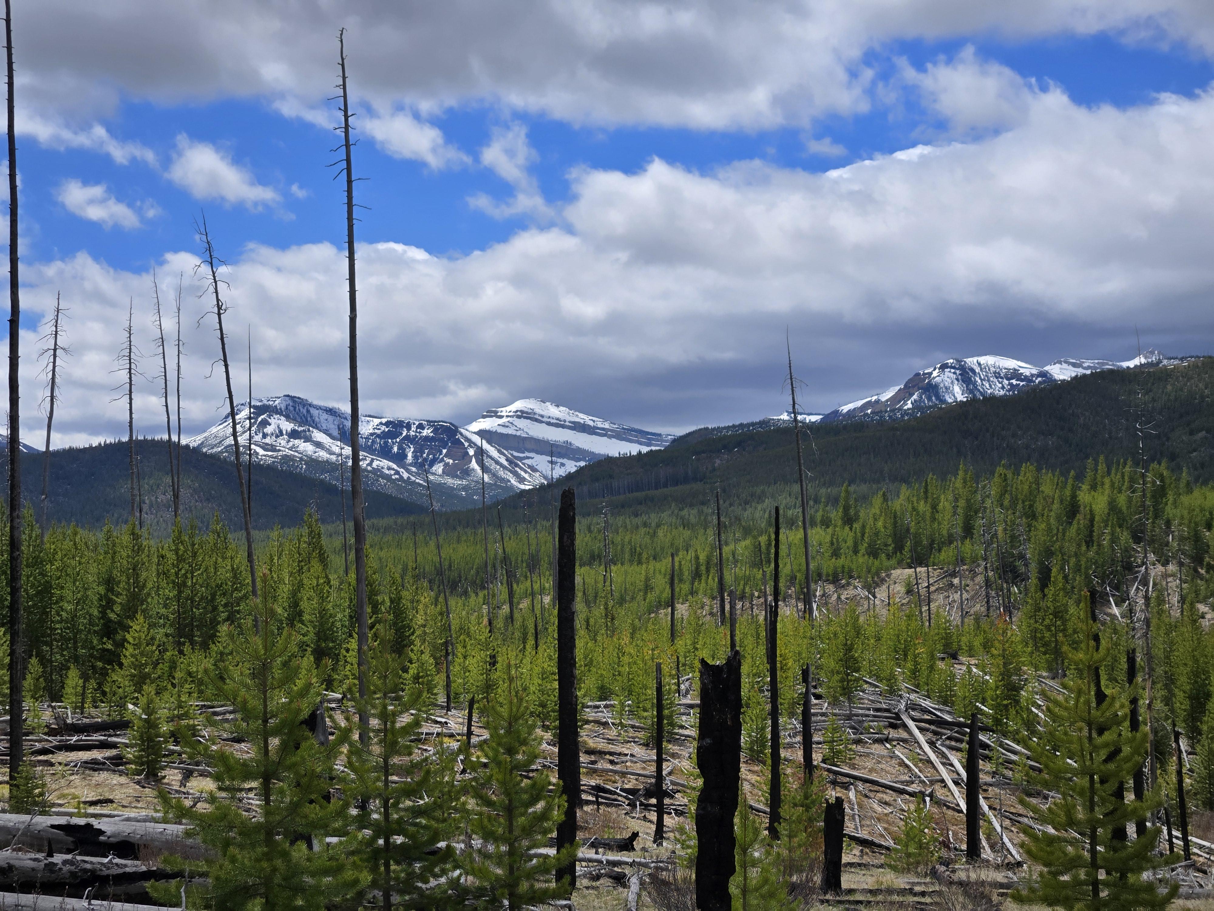
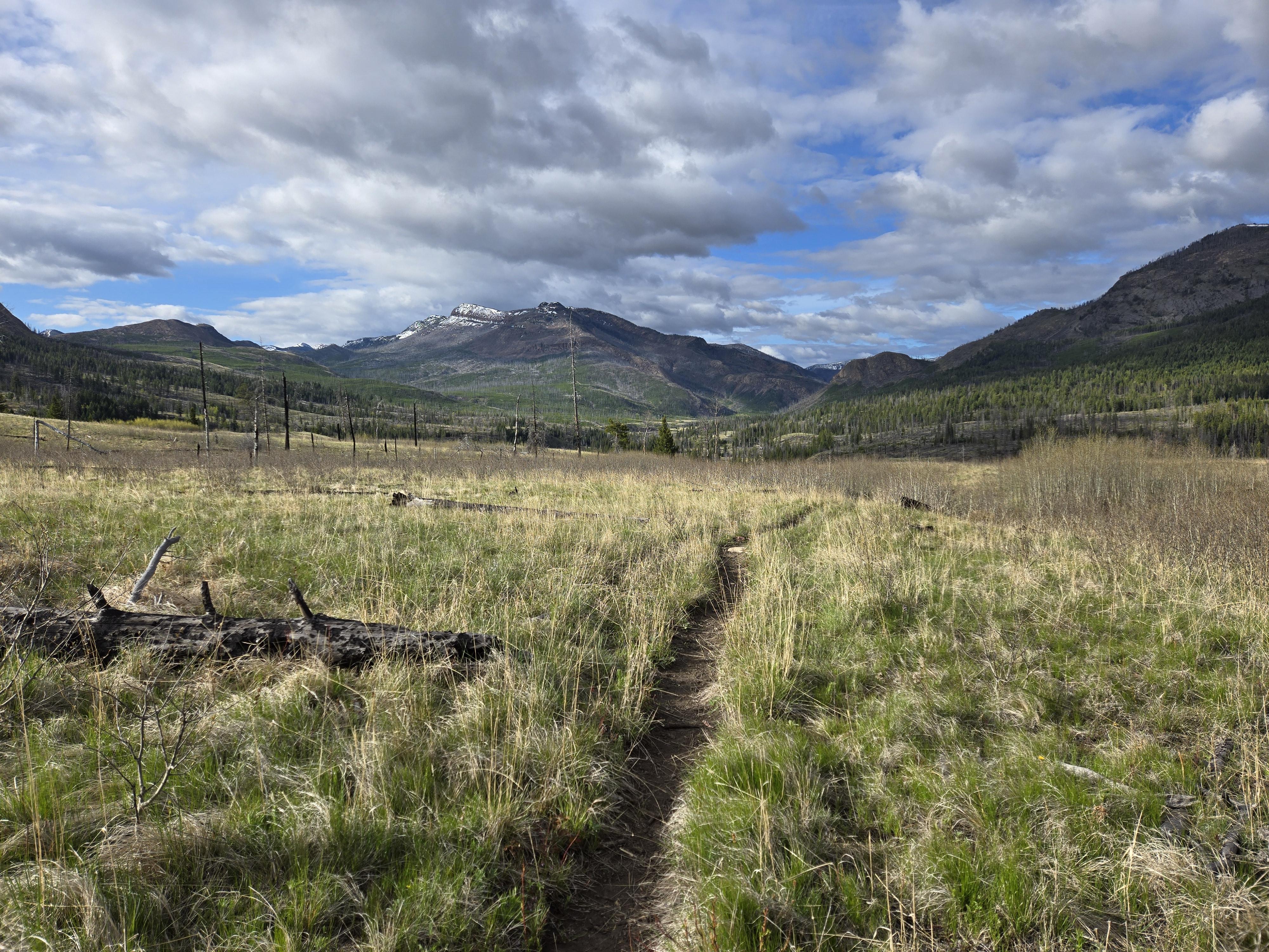
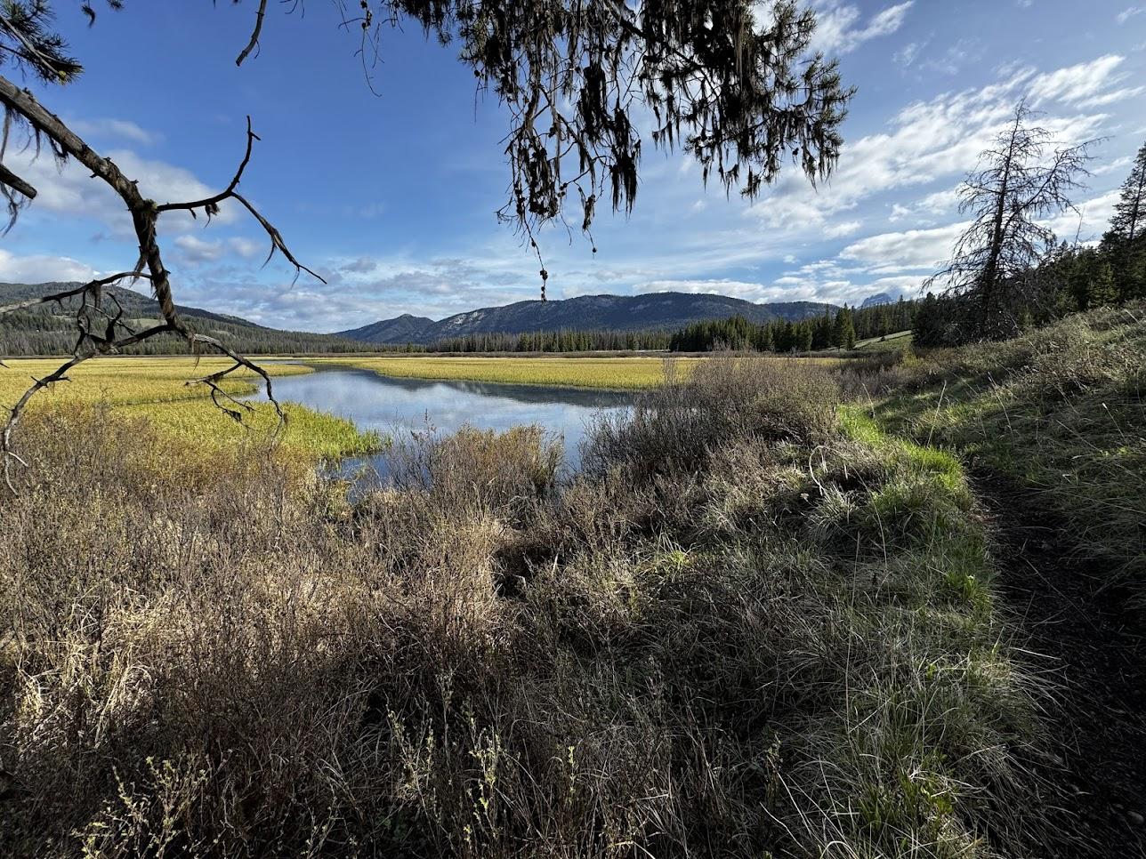
Kyle and I took the temperature of the Bob this weekend and hiked/floated the 3 forks of the Sun. Flows were bony and super low with clear water > SF 300 cfs, NF 260 cfs. It felt like base flow conditions; the trails weren’t even muddy. The Sun drainage at least did not have the wet and flooded conditions we usually expect this time of year.
It makes sense to me to camp somewhere near Roger’s Pass, and then commute to the start at 8. Aspen Grove campground is right off the highway and only 11 miles from Roger’s Pass. As others have mentioned, Alice Ck is also an option
May 23, 2024 at 9:47 pm #3812072Dudes, I just wanted to let anyone who interested know that myself and my friend Keith are all in on this year’s route. We have decided to roll in Saturday morning and skip the chilly Friday night sleep at Roger’s Pass. I’m getting the feeling that participation may be low this year but we remain psyched nonetheless. I had to skip last year to be with my newly born son, but I remain very committed to the Open and continue to dedicate a lot of brain space, training time, and family credit towards it. My hope is that the Open continues for many years to come, whether in its current form or in something new. Good luck to all who give it a go, and good luck to the Bob 100 crew.
If anyone participating finds themself in Missoula tomorrow night, reach out and we can grab some food and talk routes/gear/shit
-R
May 24, 2024 at 8:04 am #3812098Everyone have fun and be safe!
We’ve elected to try another route altogether this year; but should be getting the full 3-4 days of “fun” that we’ve come to expect on previous Opens :)
May 24, 2024 at 11:14 pm #3812178Good luck everyone! Should be a fun one! I look forward to the reports and hope to make it back there soon.
May 25, 2024 at 6:35 am #3812194Kyle is joining us. Here’s our link
May 28, 2024 at 11:01 am #3812416We had ~12 folks take the start. I brought my bike, and promptly disqualified myself as due to the culverts and wildlife fencing you can’t fully ride the ditch/atv trail into Lincoln. My legs stayed slow riding into Seeley so, behind schedule, I arranged to get picked up in Condon Sunday afternoon. Highlights was riding the foothills trail from Holland to Cooney Lookout. Not a wilderness experience but good fun, especially riding up the Swan.
May 29, 2024 at 10:29 am #3812457Another year another incredible Bob Open! Bailed yesterday at Swan Lake after a 120 mile ish trip and a really creative route by Rob. Keith and Rob continued on and looks like they’ll be making a strong finish today! Really great to tag along with them and a different experience as a group of 3 vs. solo in years past. I’m guessing some other participants made it out of the woods as well?
May 29, 2024 at 11:01 am #3812458Tom, Elliot and I made it out Monday mid-morning (Benchmark). We got way behind on our route partly due to trails on recent maps that don’t exist, off trail routes we hadn’t scoped out and at the end of the second day I was limping to what now appears to be Tibialis Anterior tendonitis on my right foot. We did hit some amazing country, so definitely a worthwhile adventure—replete with all the rigors and hardships of traveling through the Bob in May :)
John, Andrew and Peter are all out now as well.


 May 29, 2024 at 11:55 am #3812468
I ended up bailing at NFBF on Sunday afternoon. I’ve done the suffering on previous Open’s so figured I’d preserve my soft tissue for the remainder of the summer. Andrew and Peter soldiered on up through the Danaher and made an exit over the Swans via Bartlett Creek, hitting Holland Lake around 4 pm. Sounds like it was quite the slog, Peter definitely got the full Bob Open experience ;)


 May 29, 2024 at 2:45 pm #3812478
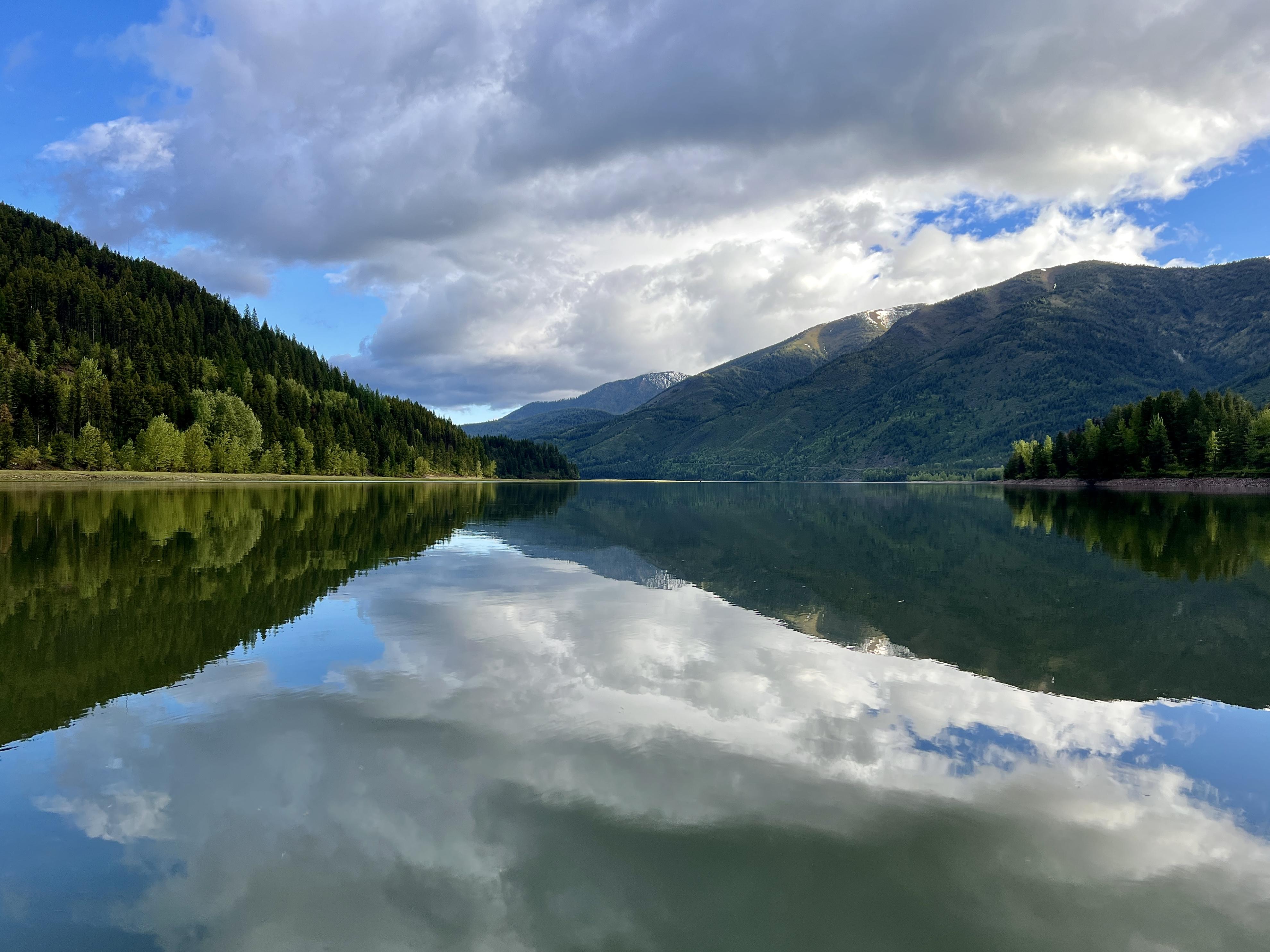
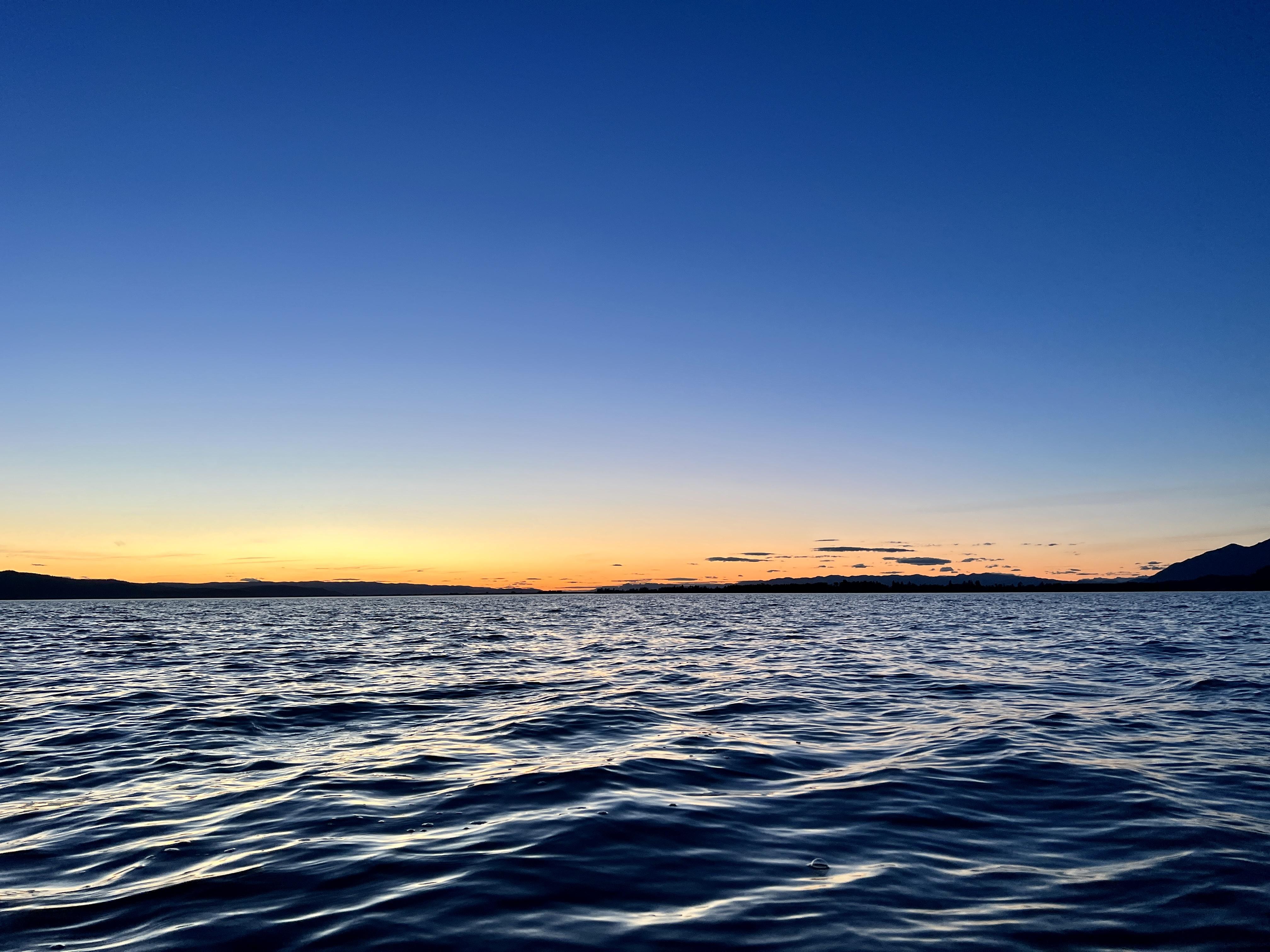
Keith and I finished today at 1:05 PM. We floated to the finish. The lake was heinous! I’ll write up a short trip report tonight and probably something longer later
 May 29, 2024 at 3:39 pm #3812481
Congrats! Has to be the longest winning finish :)
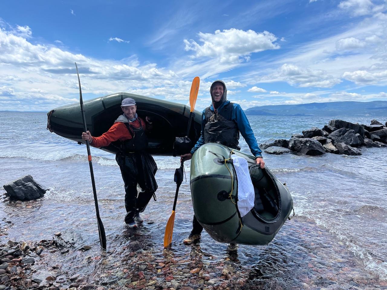
May 30, 2024 at 3:35 pm #3812564Here’s the skinny. Proper Trip report to follow. Also, I figured out the guy that was part of the running crew was named Nick (from Missoula). He eventually got over Inspiration Pass and called it a day there. I sent him the link here so hopefully he can share his experience. I think that leaves 3 people unaccounted for > Dylan from Billings, and the 2 other guys with boats from Missoula. Anybody have any info on them?
Day 1
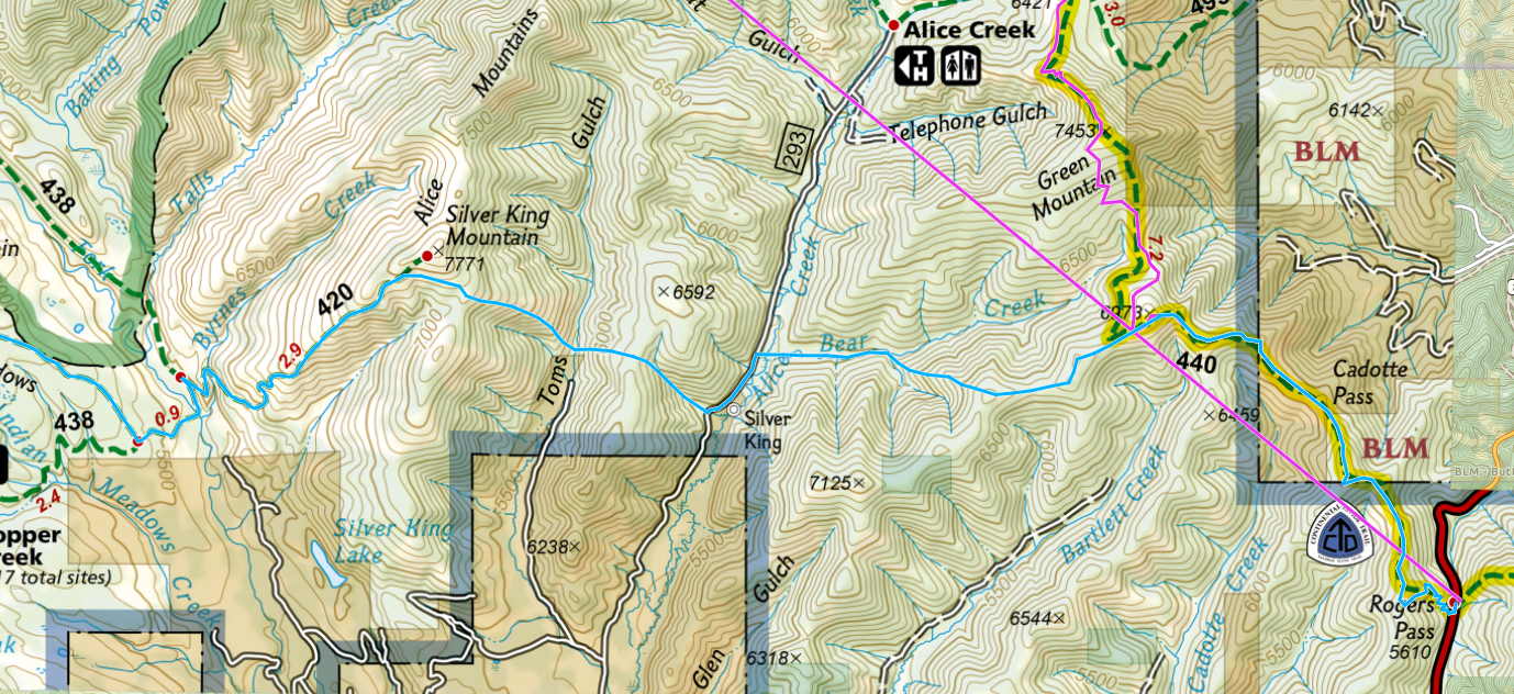
Roger’s Pass > ~4.5 mi on CDT > off trail crossing of Alice Ck > off trail crossing of Tom’s Gulch > Silver King Mt > Indian Meadows > Ringeye Ck > East Fork Blackfoot > camp near trail 480-481 jct
28 miles

Day 2
Camp near trail 480-481 jct > North Fork Cabin > Dry Fork Divide > Danaher Ck > Began float on Danaher at Camp Ck > Camp at Youngs-Danaher confluence
30 hiking miles, 5 floating miles; 35 miles total
Day 3
Camp at Youngs-Danaher confluence > float South Fork to Mid Ck > Meadow Ck TH > Bunker Ck road walk > camp ~3 miles before Middle Fork Bunker Ck-Main Bunker Ck confluence
10 miles hiking, 38 miles floating; 48 miles total
Day 4
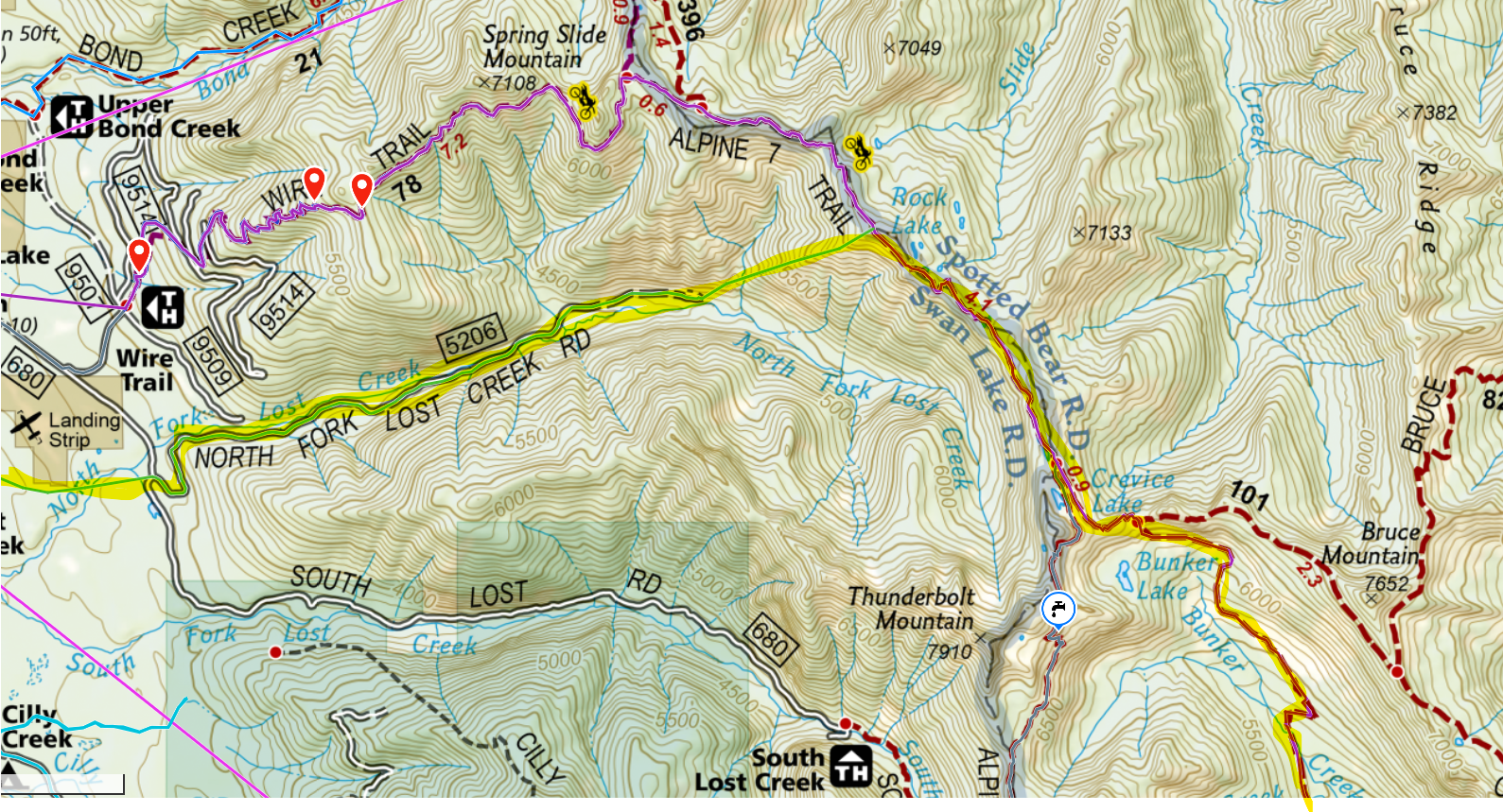
Camp ~3 miles before Middle Fork Bunker Ck-Main Bunker Ck confluence > Crevice Lake > A7 to highpoint on ridge near Rock Lake. A lot of soft snow > descended STEEP spur ridge SW to North Fork Lost Creek Rd (#5206) > Road walk > @ jct with Rroad 680, horrible bushwack due west (skirting around air strip) to highway 83 > Road walk on Porcupine Creek Road (#10229) > Road walk on Yew Ck Rd (#9714) > camp on Yew Creek Rd near first main switchback
27 miles hiking

Day 5
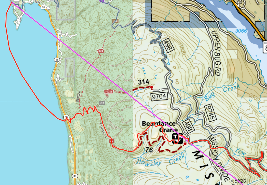
Camp on Yew Creek Rd near first main switchback > road walk to road 9745-9714 Jct > bushwhack due west to Mission Divide Rd (#498) > road walk > Beardance trail > Float Flathead Lake in gnarly ocean swells to finish at Woods Bay FAS. Finished at 1:05 PM
14 miles hiking, 4 miles floating; 18 miles total

Total Time = 101 hrs, 5 min
Total Miles = 156 miles > 109 hiking, 47 floating
May 30, 2024 at 4:16 pm #3812567Rob, what a huge effort. Massive congrats on the finish!
Mike, Tom, and I ran into Dylan on the S fork of the Sun on Monday. Sounded like he had ditched the official route and was leaving for a loop out of benchmark. No info on the others, though.May 30, 2024 at 10:21 pm #3812591Really enjoying seeing the trip reports roll in! I figured this might be a dryer/lower snow year for the open but it looks like y’all definitely got some snow time in!
I didn’t realize how many open folks were in the Missoula area – @rob I’d love to grab a drink sometime and hear your download on the trip!
May 31, 2024 at 9:12 am #3812598Great job all!
Rob, I am curious if you found any water in Tom’s Gulch. I was at the head of Tom’s Gulch two weeks ago and it was bone dry.
Looks like you crossed just above the private land going up Silver King and I know there have been several good springs in that section.
May 31, 2024 at 11:26 am #3812613Well done Rob & Keith!
I showed up for my first Bob Open with my buddy Jake last year, but we found a sketchy amount of water in Upper Twin creek and way more crossings than expected, so we bailed on our route at spotted bear.
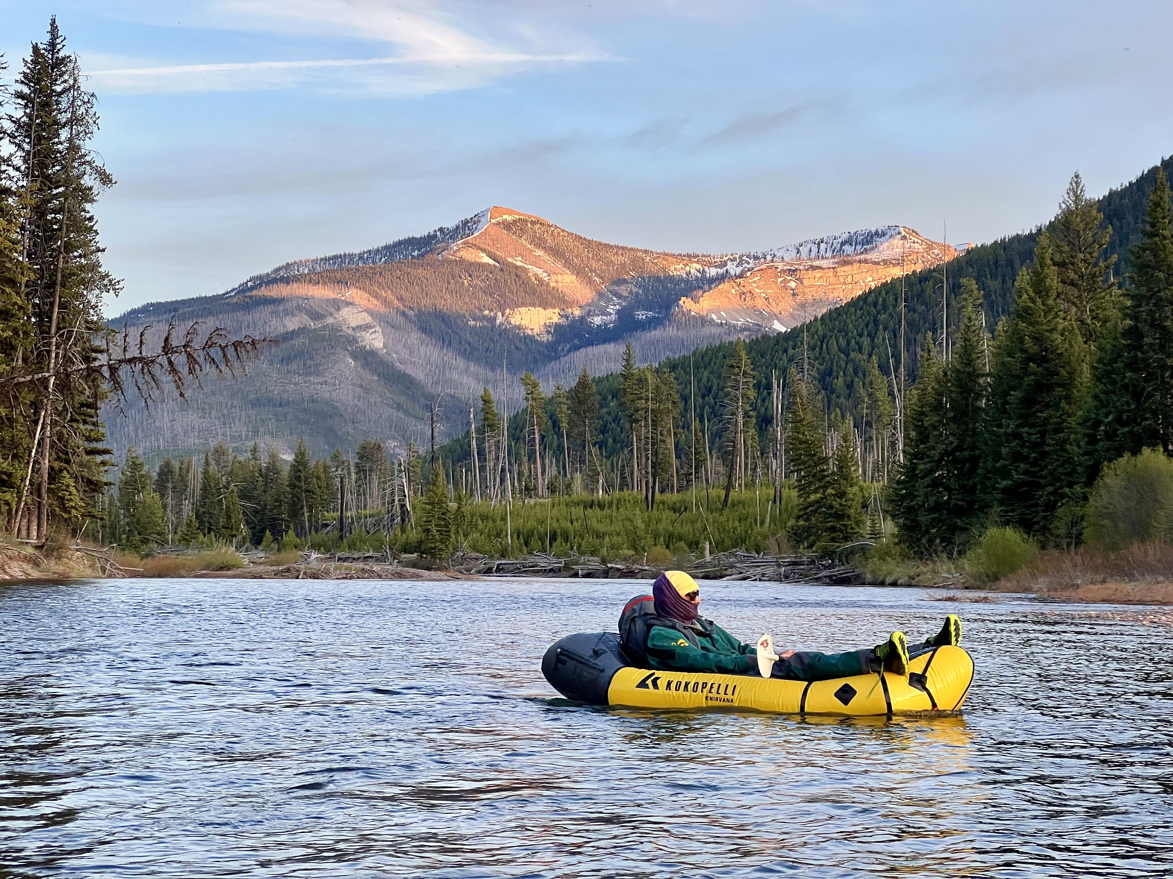
I wasn’t a fan of the XL route this year, as I figured it would take me 6+ days and I couldn’t find a way to the finish that inspired me. Being somewhat new to the Bob & packrafting, I decided to do a packraft loop based out of Benchmark. I left Benchmark Friday morning, hiked over Stadler pass, and floated Danaher and the South fork Flathead down to Spotted Bear. I hiked up Spotted Bear over Switchback pass & down Open creek, floated the North fork Sun river to Sun butte & hiked back to Benchmark to arrive around 1PM Monday about 30 seconds after Tom, Mike, & Elliot. After chatting with Tom for a bit we realized we had spoken for a few miles on our way down Big Salmon creek last year. Tom had recommended Jake and I try floating Big Salmon Creek right after the big avalanche path, thus earning him the moniker “Sandbag Tom.”
Highlights of this trip were: (apart from at Spotted Bear/Meadow Creek) only seeing 2 parties on the route, limited amounts of snow on Stadler pass, a pair of river otters playing, a tremendous amount of elk including a bunch of bulls in velvet on the North fork, 2 black bears, paddling over a group of 3 elk that were swimming across the South fork, gorgeous weather on the North fork, and very limited deadfall.
Lowlights were getting growled/hissed at by a cat early one morning while stopping for water, a tense interaction with a black bear, somewhat rainy conditions Friday, Saturday, and half of Sunday that led to a wet tent & sleeping bag on night 2, and going over switchback pass without snowshoes.
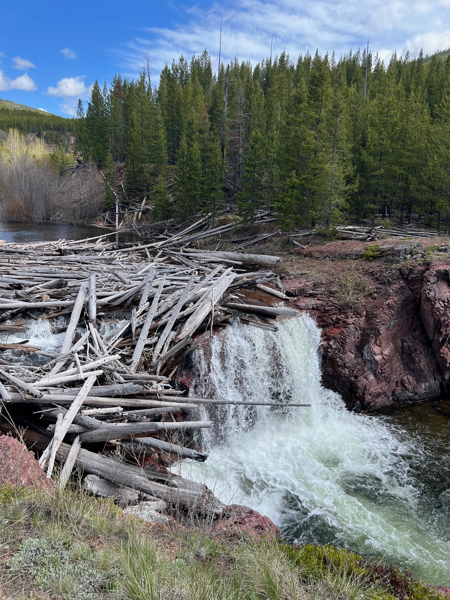
In all the trip was great. This was my 5th spring trip on the N fork Sun, but as every other time has been a weekend trip with a partner, it was my first time paddling above the Gates park bridge. With low flows, I put on the water at Lick Creek and felt very safe scouting and portaging the few logs. It was also my first time floating Danaher creek, and my first time floating the S fork above Salmon forks. Danaher had quite a lot of wood, and a couple tricky portages where I found myself in the middle of log jams. I was very glad to have low flows there.
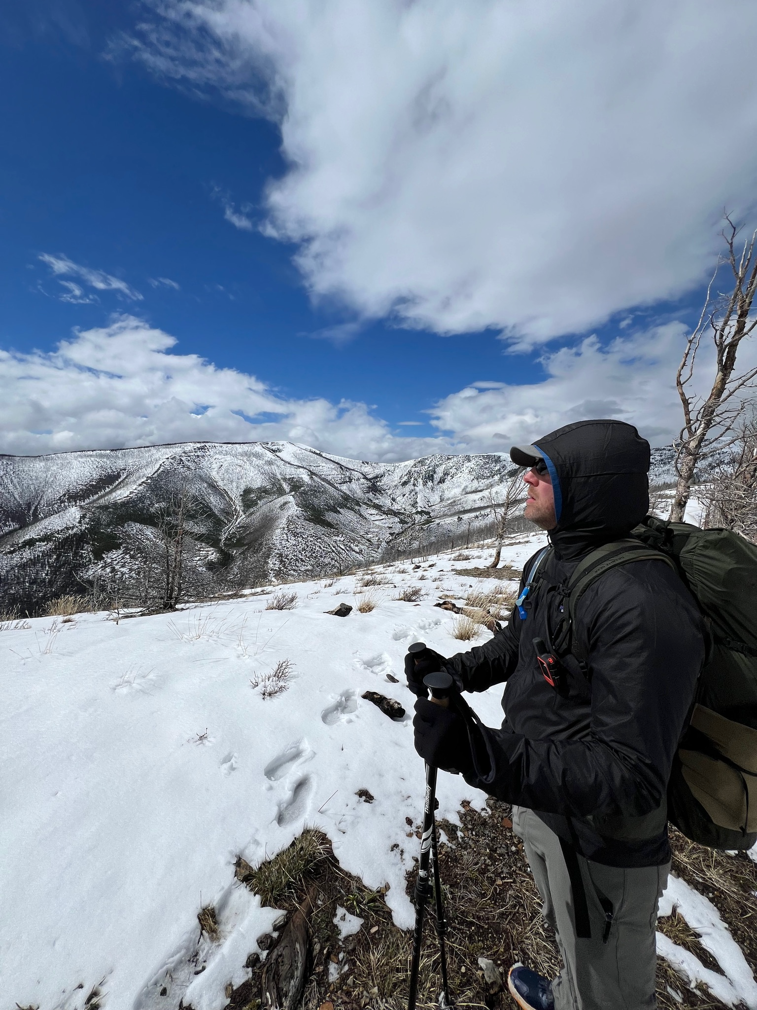
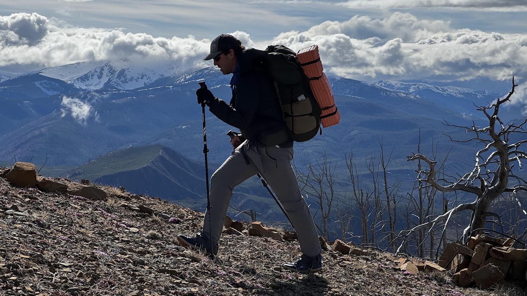
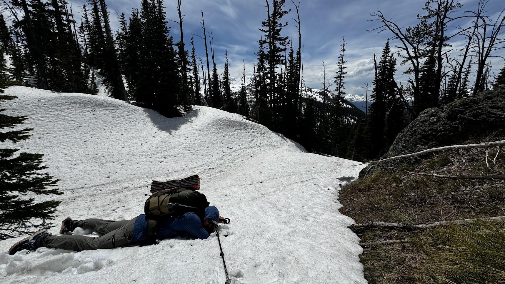
I’ve long been of the opinion that snowshoeing sucks. If you really need snowshoes, then snowshoes aren’t going to be sufficient. But I had lots of alone time to think on this trip, and I think it may be time I bought some snowshoes. Any recommendations?


 May 31, 2024 at 3:03 pm #3812615
Congrats Rob and Kieth, and everyone else who joined, this Open is so rad and brings out the best people! This was my second year and attempt at the open and it did not go to plan but was a great experience. I bailed off the CDT on Alice Ridge on the first day not prepared for sustained snow travel or familiar enough with the Scape Goat to have rerouted well, so I got back to my car at Rodgers Pass on Sunday and drove up right to Benchmark trailhead where on Monday morning I started a two-day loop crossing over the mountains SW at Stadler Creek, floated the Danaher into the S. Fork till White River and then on foot I went over White Pass, floated a stretch of W. Fork of the Sun and got back to my car around midnight Tuesday. I’ll be excited to edit a short home video of this adventure shortly. Can’t wait till next year to get another go at the Bobs early season :)
May 31, 2024 at 4:17 pm #3812620Hey all, I’m posting this on behalf of Nick >
https://www.nickcornell.run/blog/2024-bob-marshall-wilderness-open
Jun 1, 2024 at 5:05 pm #3812640I finished yesterday evening shortly after 11 p.m. My partner Hayden wisely bailed earlier yesterday with 23 miles remaining.
Carrying 50 pound packs, we started the first day following the majority of folks up the CDT, before dropping down Bear Creek to Alice Creek Road. We then spent much of the afternoon following the public/private boundary to sidehill over to the Landers Fork and take the Lone Mountain trail up to Heart Lake for the night. The second day we dropped into the East Fork of the Blackfoot, followed that down to the North Fork guard station, and then headed up the Dry Fork to camp just before the divide. Day three we crossed into the Danaher, where Hayden decided we should try to put on earlier to make up some miles and take some weight off of battered feet. Ultimately this resulted in some serious hike-a-boat as we encountered an obscene amount of deadfall. So we took back out, portaged another mile downstream, and put in about five miles above Camp Creek, and were met with friendly and enjoyable floating conditions. We then made it to the confluence and continued to Big Prairie for the night. Day four we floated the remainder of the South Fork to the Meadow Creek takeout, where I took a swim on the last pinch/constriction before the takeout. We made the portage over to Harrison Creek and began an involved bushwhack back down to the South Fork. About half way down a squall rolled through that brought quite the deluge and we watched as six trees fell in rapid succession around us. So we hightailed it out of there, and put on the creek just above the South Fork for a fast and bony ride out to the river. We then floated to the Billy R. Garrett bridge, where we lost light, and slept under it, which was definitely the pro move because it proceeded to rain all night. By day five we knew we needed to make up some miles, so we started early, wrapped up the remainder of the South Fork, and into the Hungry Horse reservoir. Flat-water paddling can be a real pain, so we put in an effort for about six miles before deciding to bail off to the east road and walk the remaining distance to the Logan-Dirtyface trail and pass over to the Middle Fork of the Flathead.
There had been a reasonable amount of suffering up until this point, especially given that Hayden’s feet weren’t much appreciating the heavy loads we were carrying. But that all seemed trivial once we began the climb. Keep in mind that this trail is labeled as primary-use by all available maps. Initially the trail was very amiable, only getting somewhat overgrown as we hit the snow line and neared the pass. The pass was beautiful, looking down into the greenery of the Middle Fork valleys. We started down, and lost the very faint trail about a mile from the top. Naturally, at this point it began snowing. We were able to find it after some searching, but it had clearly not been maintained since the 20th century. And it just kept getting worse and worse as we lost elevation, getting to a point where the remaining five miles were a hellish test of endurance and perseverance. This was only further helped by losing light, constant rain and a plethora of fresh bear sign that was only a few hours old. I’ve had more than my fair share of bushwhacking, especially along the Swan Crest on older logging roads, but the Dirtyface ‘schwack was a special sort of ruthlessness. Would not recommend to anyone, ever. And it also included a creek crossing sometime after 1 a.m. that was ripping at 20+mph and would have been insta-death if we slipped. We crashed down to the Middle Fork sometime after 3 a.m., soaked to the bone, to find a sloping cobble bar to set up a shelter and shiver bivy for the night.
We woke up the next morning, still reeling from the beatdown, to find that the river had dropped a bit, to a level that appeared a lot more manageable. So we put on, with me picking my way through the splashier sections. Eventually we made it to just above the “daily” section, where I opted to portage to avoid the class four sections. We made it to West Glacier that evening to an early campsite to ineffectively try to dry out our soaked everything and assess damages thus far. We then got up early for the seventh day, with ~65 river and lake miles remaining to the finish. The first 40 went without hiccup, albeit with some degree of tedium, until we reached the braids and meanders south of Kalispell. Admittedly I had neglected to check the gradient of this remaining section, assuming foolishly that there would be flow until just before the lake. Boy was I in for a surprise. The river effectively stops 20 miles before the lake proper. Hayden, being of sound mental standing, decided to head for the road and call it instead of enduring a nauseating amount of flat-water paddling. I however, stubbornly, was more hesitant to quit, after already traveling 230 miles. So I began paddling at 4pm, unsure how far I would get, but determined nevertheless to try until my sanity returned or I injured myself. At 8:30 I made it to the Sportsman’s Bridge just above the lake, sure that I was ready to bail. But for some reason even I cannot comprehend, I opted to descend into the sixth circle of suffering and continue the last 7.5 miles out and across the lake to Wood’s Bay FAS, arriving at ~11:10pm, after almost 25 miles of flat-water paddling.
I decided to attempt this rather ridiculous and heinous route this year as a more aesthetic variation to the direct path to the finish, having struggled to find inspiration in the face of a jungle of private property, paved roads or endless dirt road walking. Thus the idea to use the South, Middle and Main Flathead rivers as pathways to Flathead lake. Plus, I’ve wanted to do a route from Rogers Pass to West Glacier for a number of years now. ~255 miles in total; 175 miles floating and 80 on foot. This makes the fourth Bob Open I’ve completed, (including last year with my girlfriend) and also the longest route I’ve completed to date! The Open will continue to be one of my favorite trips of every year.
Long live the Open.
ps: I’ve neglected to pay for the BPL membership in the past. I am based out of Choteau, and if anyone is ever looking for a partner for some clowning, I am always looking to get out.
Jun 1, 2024 at 5:30 pm #3812641Pat: yeah I would say that snowshoes would be advisable in the conditions shown in several of your photos…
Just out of curiosity…are the rules of the Open such that a new route has to be chosen every year? Or is it possible that a route used, say, 10 years ago might be chosen once again? Of course, no route will ever be ‘the same’ from one year to the next.
Jun 2, 2024 at 6:45 am #3812652Jacob, holy shit. That is a wild tale. Congratulations! Were the lake currents in your favor? We floated the lake from south to north, and the currents were mostly working with us. If they hadn’t been, there would have been no way to power against them.
Ed, I don’t think we crossed any water in Tom’s Gulch. I remember topping off on water near the top of the first climb out of Alice Ck.
Here’s a link to my full trip report. Its way too long so click at your own risk >
Jun 2, 2024 at 1:32 pm #3812668Thanks Rob! Lake conditions were initially more challenging, as the swell was moving north-east, but after the sun set the winds and waves calmed down to where I could more efficiently make miles. But for a while I was probably not moving faster than 2mph. Gotta say too that Woods Bay might well have looked like it was on the moon when I first set off across the lake!


 Jun 3, 2024 at 10:07 am #3812715
Jacob! You made my day by taking the full Middle Fork route. Never thought anyone would do that. Especially with the lake having flooded the bottom 20 miles of the Main Flathead. Loving the 5+ day finish times, as well as the alternate routes.
There are no “rules” about routes repeating or not. Route selection early on was purely driven by my desire to see (and float) things I hadn’t, and more recently has just been restlessness and curiosity, often with mixed results. Next year I’m leaning towards a more traditional/sprint course.
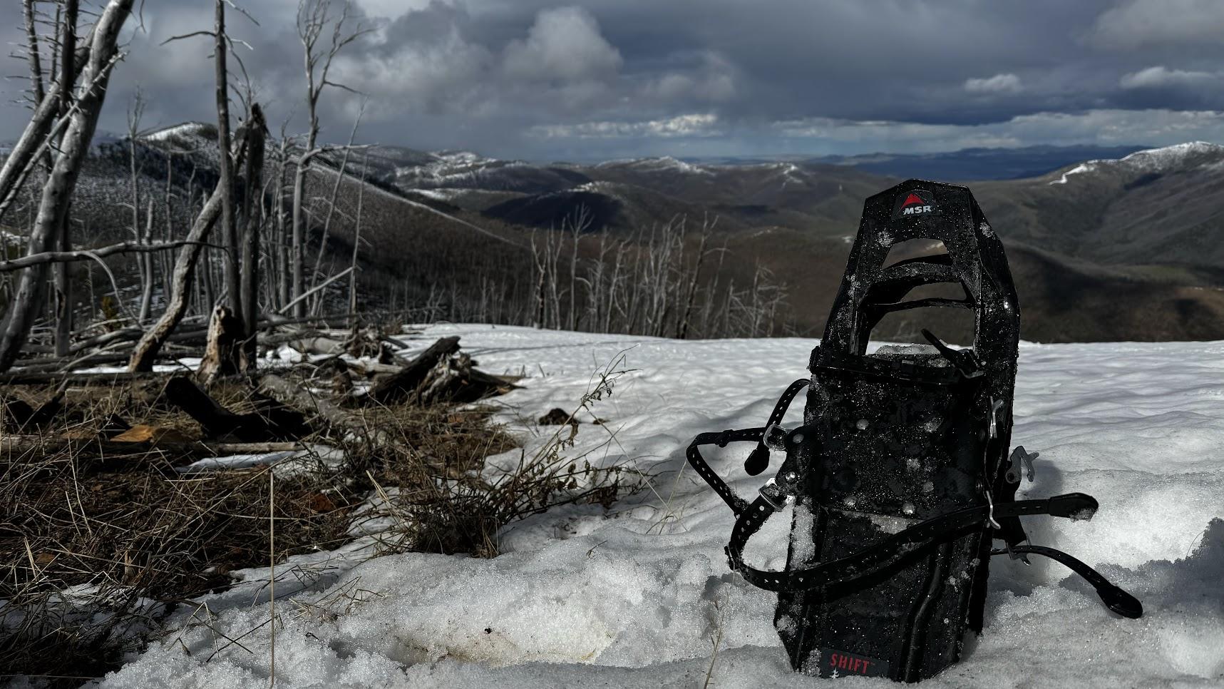
Regarding snowshoes; back in 2010 I found some MSR Shifts (snowshoes for older kids) at a used gear sale and they’ve become the default for spring stuff like the Open. They’re cheap, durable, and bindings work well in spring conditions (ie they don’t freeze), and they have just enough traction and float to make punchy conditions easier. The new ones are actually better than the previous versions, in that they accommodate bigger feet. I have 11.5 feet and had to grind a bit out of the opening on that first pair to make them work. I now have a pair of pink ones I bought a few years ago, and for the 2-4 days a year I use them they are always indispensible.
Jun 3, 2024 at 10:47 am #3812716Next year I’m leaning towards a more traditional/sprint course.
Sounds good to me!
+ one on the Shifts; Tom has gotten them even lighter with a homemade binding (and some drilling/cutting on the snowshoe itself :D)
Jun 3, 2024 at 11:00 am #3812720John, Peter, and I started up to the CDT with the main pack. We made a last-minute audible after Green Mountain to drop off the ridge and take an off-route climb back up to the Alice Mountain ridgeline to avoid going around the full Alice Creek drainage, gaining a solid 3000′ in a single push. This helped us avoid the strangeness of the public/private land interfaces and we ended up camping not far off Landers Fork. The maps and trails didn’t quite line up after the peak of Silver King, but we found our way to the Mainline trail taking us from Heart Lake pretty directly to the NF Blackfoot.

I had the good fortune of catching up to Jacob & Hayden on Sunday as they were crossing the NF Blackfoot, telling me of their 50 pound packs. I remember the horror of packing 35 lbs. on my back across the Bob in 2019 and I was pleased with this year’s sub-20 pack weight by avoiding the full course and the required boat gear.
John opted to bail at that point, having had a sufficient taste of long days to sustain him for another year. Peter and I soldiered on with another direct route to Big Prairie with a peaceful overnight hammock hang on the Dry Fork Divide. This year’s drier conditions had us hauling several burn & prairie miles without water approaching Big Prairie, but we managed to get past the burn up Bartlett to find solid enough trees for another hammock hang Monday night.

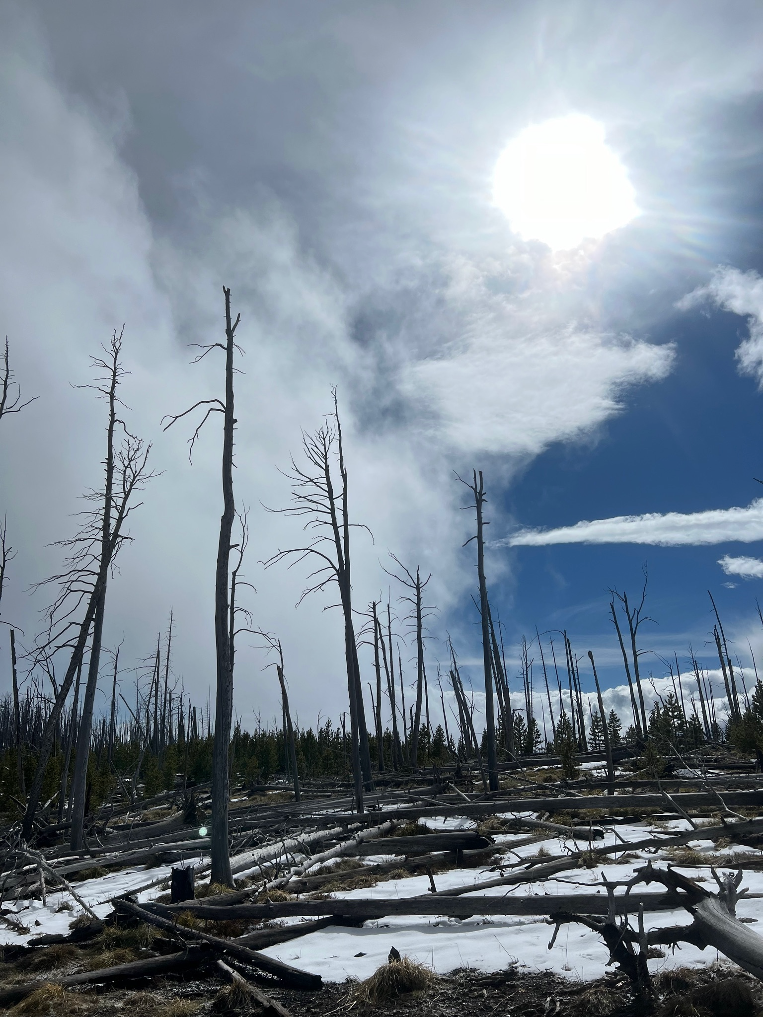
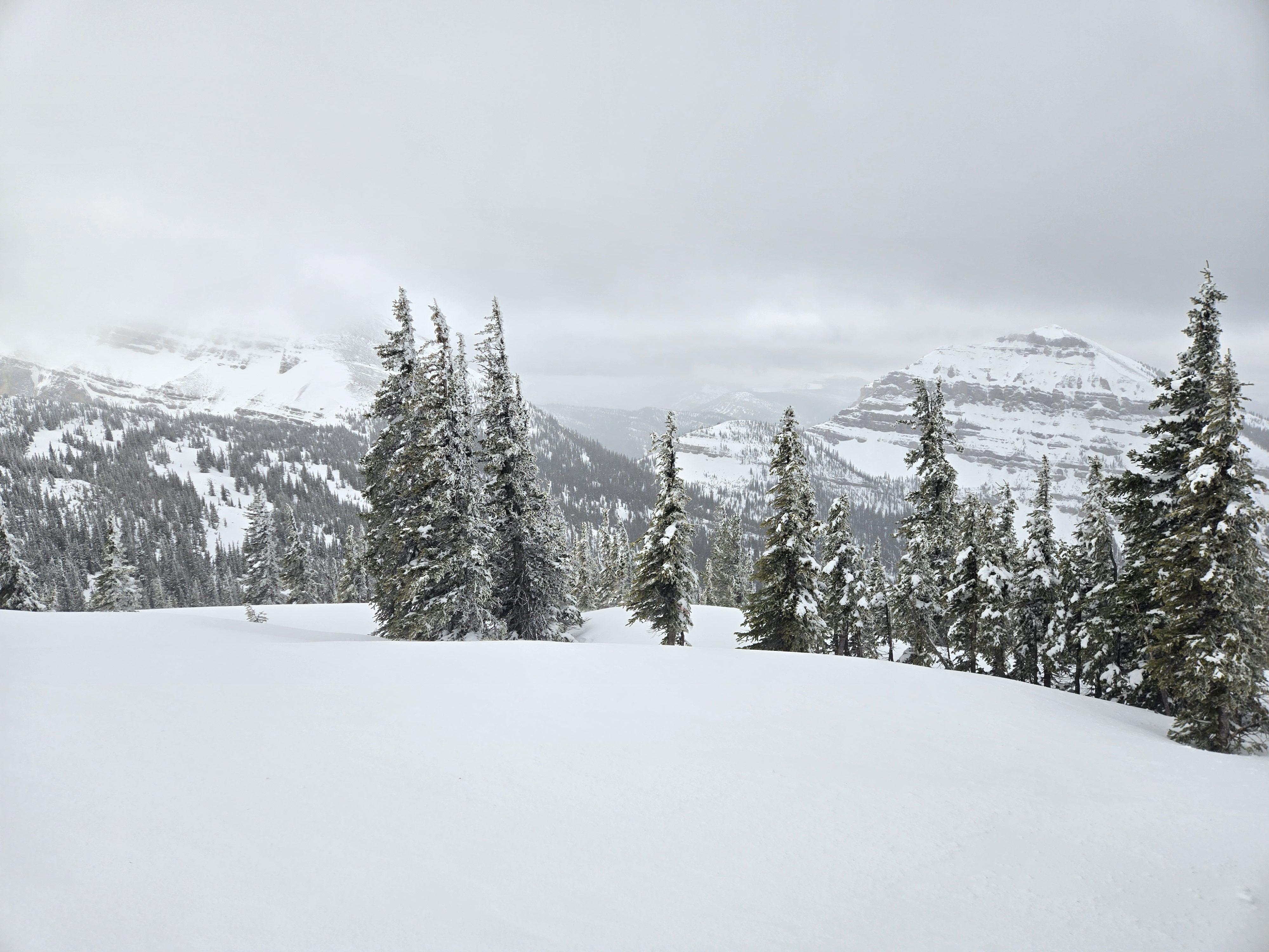
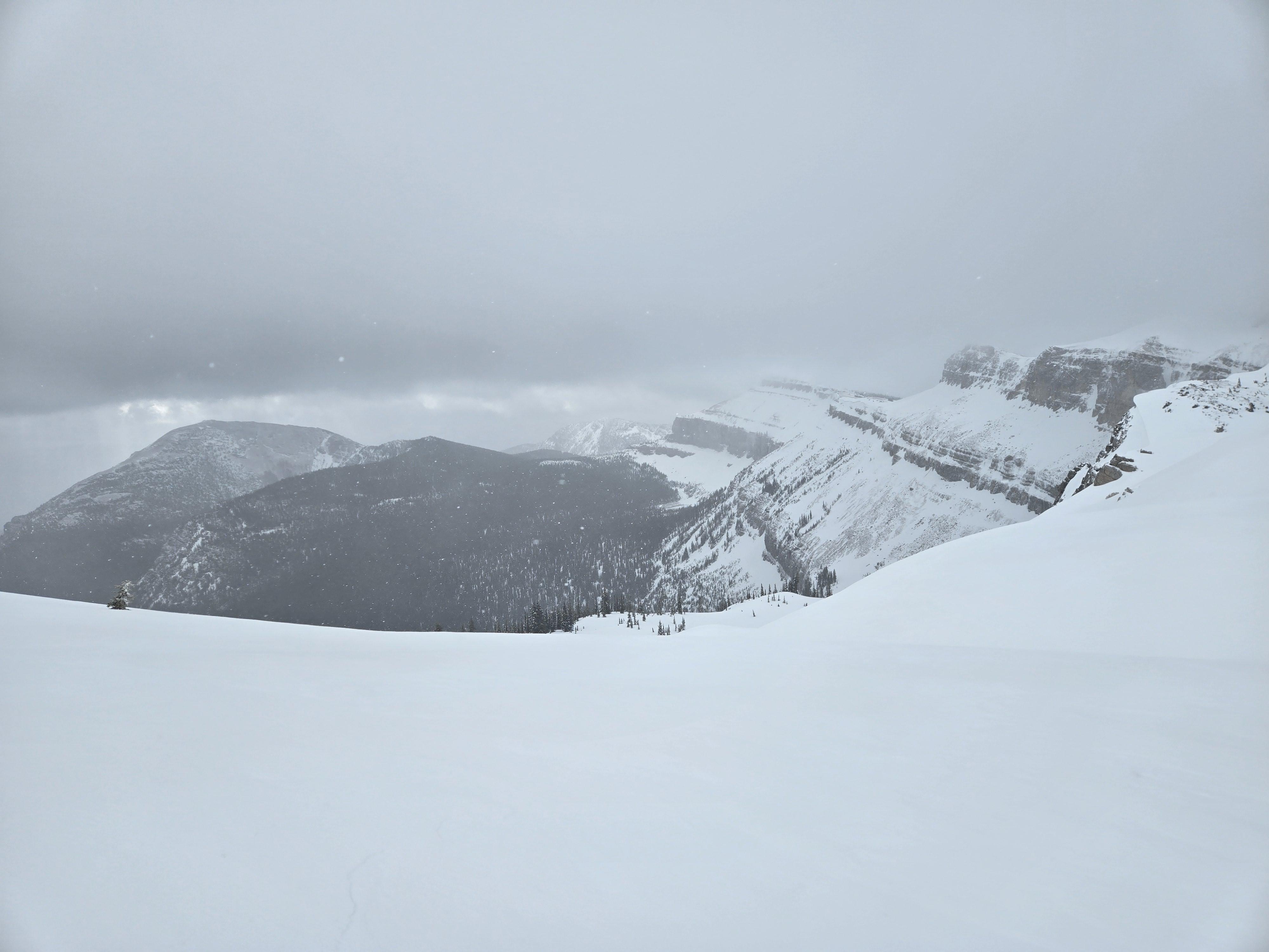
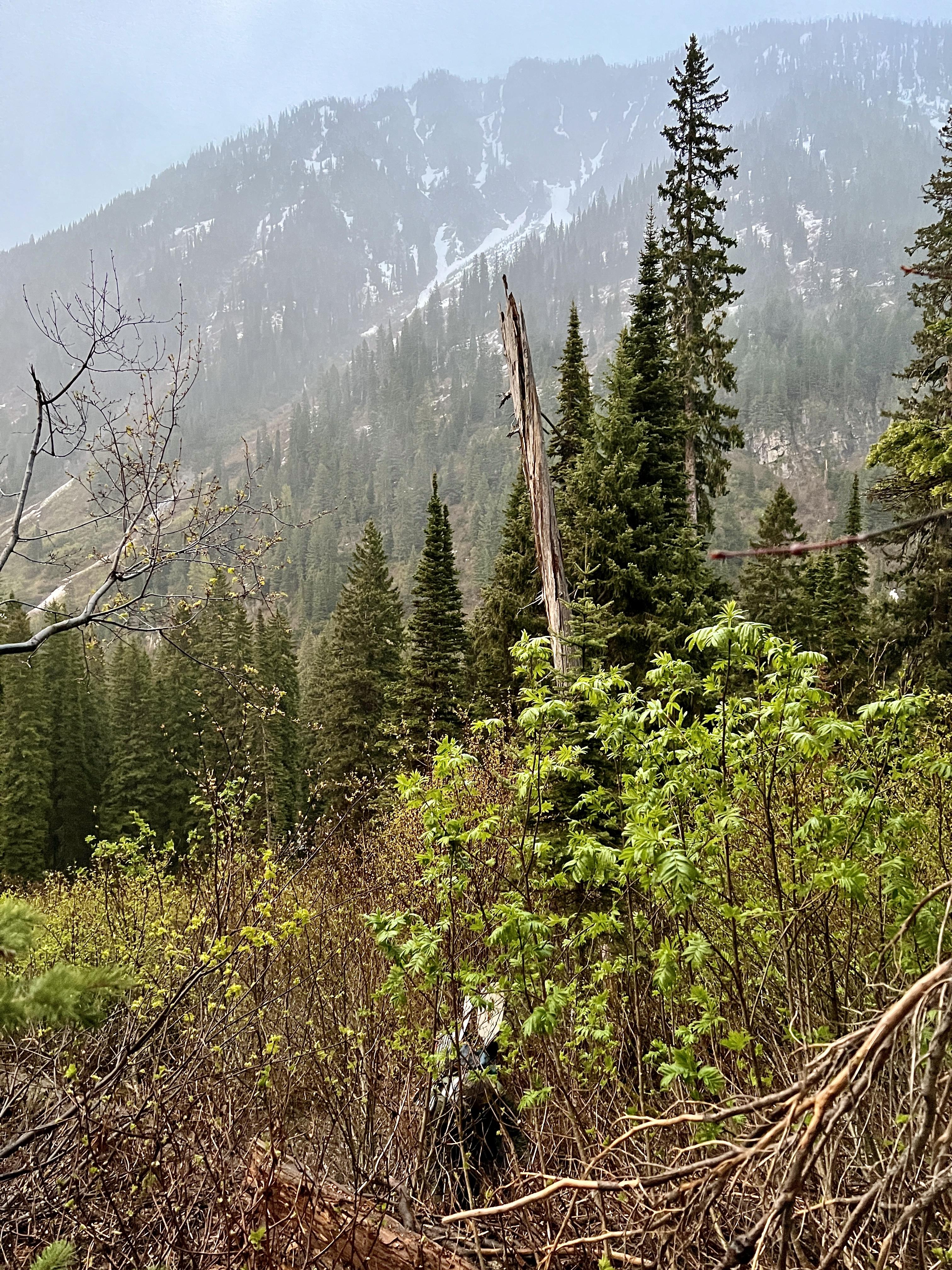
By Tuesday I was pretty tired, so it was slow going up Bartlett with eventual snowshoes going on my feet to make it a bit easier as the trail disappeared. The 30°-45° slippery wet snow covered slopes were tough enough in snowshoes, so I’m not entirely clear how Peter managed to even get up some of these climbs. After picking our way from the Bartlett drainage to the Shaw drainage, we circumnavigated Lena Lake for a long sidehill around the upper reaches of Gordon through a burn. Luckily enough, the sidehill was snow free, but it was back to snowshoeing for the last push up the ridgeline south of Waldbillig and a drop down to Upper Holland then Holland Lake proper.

Fortunately, no spectacular carnage occurred other than the usual unpredictable water, unpredictable trail conditions, unpredictable snow quality, and the usual springtime temperature & precipitation swings. This was my longest Bob Marshall Open at a bit over 100 miles, but so far the most straightforward.
P.S. I also use the MSR Shifts because they’re as light as running snowshoes, but much more durable.

-
AuthorPosts
- You must be logged in to reply to this topic.
Forum Posting
A Membership is required to post in the forums. Login or become a member to post in the member forums!
Our Community Posts are Moderated
Backpacking Light community posts are moderated and here to foster helpful and positive discussions about lightweight backpacking. Please be mindful of our values and boundaries and review our Community Guidelines prior to posting.
Get the Newsletter
Gear Research & Discovery Tools
- Browse our curated Gear Shop
- See the latest Gear Deals and Sales
- Our Recommendations
- Search for Gear on Sale with the Gear Finder
- Used Gear Swap
- Member Gear Reviews and BPL Gear Review Articles
- Browse by Gear Type or Brand.


