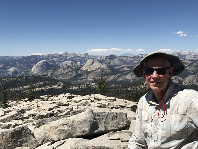
This was a mid-June trip to Yosemite NP. Our route was in a less popular area south of Glacier Point Road. I also want to give a little snapshot of how post-Covid protocols are effecting accessing the park right now.
We drove up from So Cal and reached the southern Park entrance around 1:00 pm on a Monday. We needed to enter the park to pick up our reserved wilderness permit. It took us 1 Hour and 20 minutes to go .6 miles to get through the gate! A friend recently spent 2 hours to get through the main entrance near El Portal. The slowdown was to process the daily reservations to enter the park. Everyone seemed to have their reservations but each car required a lot of time to process. My blood pressure rose when the Ranger suggested that the reservation form I had handed them wasn’t working. I gave her my wilderness permit reservation form and that got us in!
At Wawona, the visitor center/gift shop was not open for visitors to enter. A young Ranger had a table blocking the door. He cheerfully issued permits and answered questions. It was great to see a young Ranger who actually hiked the trails and had first hand knowledge of trail conditions. He also clued us in to the free WiFi at the Wawona Library, back in the infrastructure buildings around Wawona. I was able download a book to my Kindle and we were good to go.
We car camped just outside the Park at the Forest Service Summerdale CG near Fish Camp. Summerdale is a fantastic camp with lots of trees, privacy, and a stream nearby. We drove to a nearby resort for dinner. Since this was just a week or so since California had lifted mask mandates, the restaurant was still figuring out their protocols. The poor staff was taking flack from guests who wanted tables that were “off limits”. We re-entered the Park the next morning before 8:00am and there was no line at the entrance.
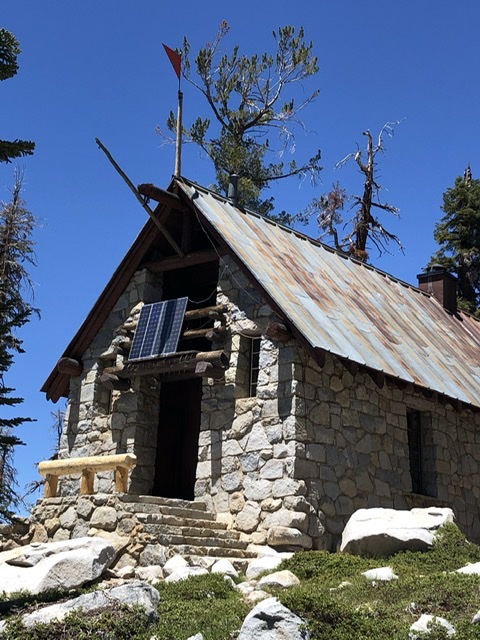
Our intention was to hike south around 7 miles to Ostrander Lake the first day. This lake has a stone hut that is opened to skiers in the winter by lottery. My buddy and I had chickened out on skiing there in the past when a storm rolled in as we were driving there. I had also previously planned this hike as a Sierra Club hike and had to get a replacement leader when I broke a bone in my foot and couldn’t go. So, this is somewhat of a grudge match for me.
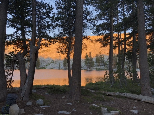
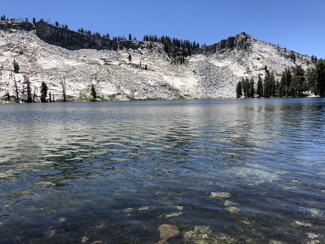
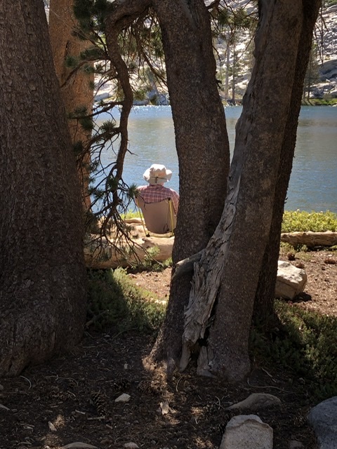
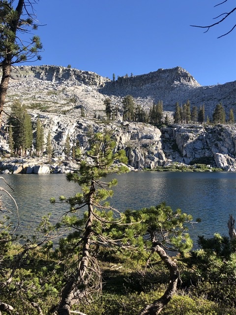
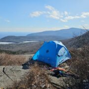
We reached Ostrander lake by lunch still full of energy, since the hike is flat for the Sierras. Our plan had been to go off-trail to Buena Vista Lake on the second day. But ambition got the better of comfort and we decided to cross over that afternoon.
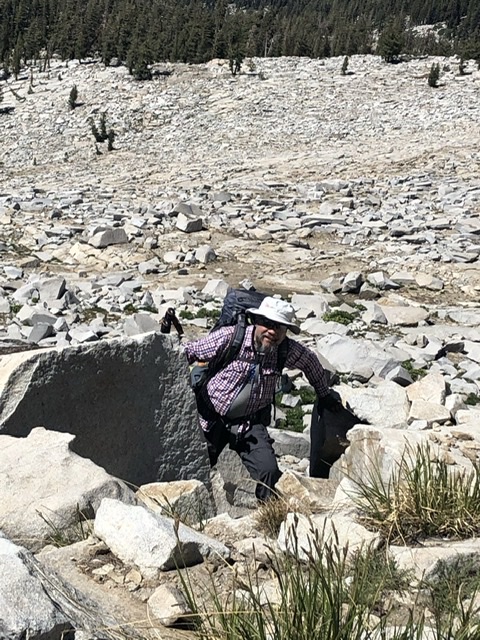
It was a bushwhack from the start and a good deal of loose rock before we topped out on Horse Ridge above Ostrander. We have a lot of off-trail experience and my buddy is an ace navigator. It still was “Type 2” fun until we hauled into camp at 5:30. We had found a safe route that was not very efficient. We hiked a lot more up and down and back and forth than we needed to, but that’s the way it goes when you leave the trail. We used the Gaia and Backcountry Navigator apps on our phones.
Lake Buena Vista was not crowded and we met few other hikers all day.
The next day we wandered down the Chinualna trail for 7 miles. We passed around about 20 downed trees on the trail. There were a lot of trees, including ancient Sequoias, blown down by a January 2021 wind event. The trail crews had done a lot of work and cleared most all of the trees in the 7 miles closest to Bridalveil Campground. They still had work to do, but the trail was passable on foot.
Bugs were not a problem. We would walk through the occasional cloud of mosquitos in swampy areas, but that was short lived. It was breezy and warm at camps and we got no bites.
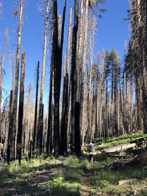
Water was available, but not as much as a normal June since it was a low snow Winter. The trail along the Bridalveil Creek is wet and muddy. It was made worse by horses sinking in a foot or so and churning up the mud, especially at small creek crossings. I had not seen this much damage done by horses before. There were lots of horse droppings at our third camp near Turner Meadows. You could see where horses had grazed in the marshy meadow and left big divets. We boiled or treated our water with care at Turner Meadows due to the widespread horse poop. We also had a hard time finding sleeping spots that were not threatened by potential falling trees. With the forest floor covered in fallen limbs, the widow maker potential was very real. Miles of this trail were through burnt standing trees waiting to fall.
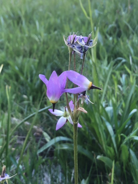
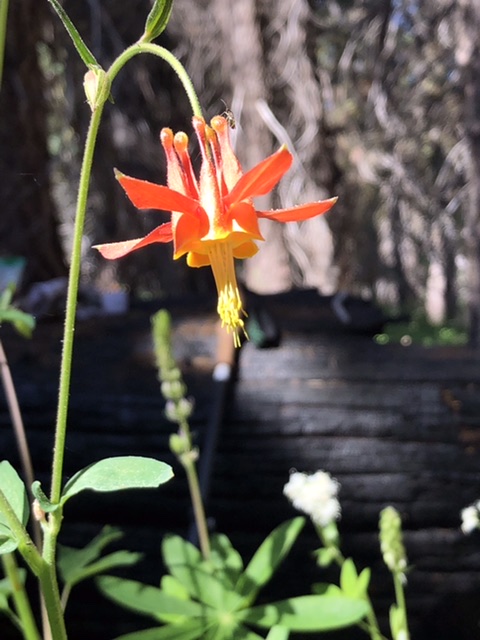
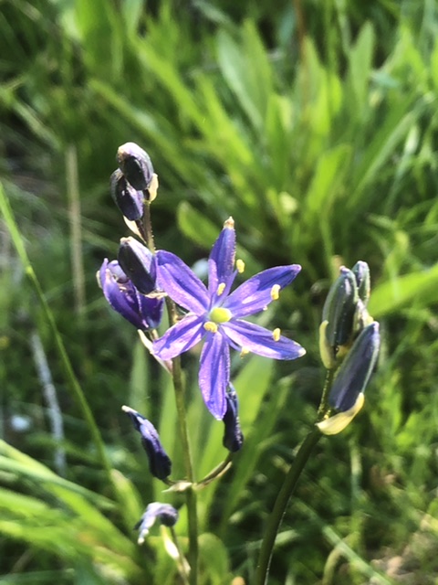
Lots of wildflowers in the meadows and an easy 7 mile return to our cars by noon on the third day. We have usually hiked more miles per day, but we enjoyed more time to hang out in camp and soak in where we were.
Temps only got down to 45 deg F at night and I was fine in a 40 deg down bag I had made. One drawback of MYOG stuff is you really don’t know how it will function until you use it. This week was warmer than normal and we camped below 9000’. I’ll bring a warmer bag for trips to higher elevations this summer.
Classic interaction observed at the trailhead: Enthusiastic fit looking guy with a German accent asks me “how far is the Lake?”-“Seven Miles”. And then his wife asks: “Is there a two mile hike?” I gave them my map and bid them a good day.


Home › Forums › Ostrander Lake and Buena Vista Lake in Yosemite